Share This Location


Located just on the southern edge of Ithaca, Buttermilk Falls is a wildly popular spot for tourists and local residents, especially during the height of summer. Upon entering the park, newcomers quickly see why. Across a verdant lawn is a foaming and frothy waterfall with a deep pool and dammed swimming area below. Camping is available further along the main entrance road, but most of the visitors are here at the entrance.
The base of the falls is chock-full of picnickers, swimmers, and shutterbugs, while hikers should be comforted that the crowds dwindle (or at least are more widely spaced) after you ascend the handsome stonework stairs. Ahead is what seems to be an endless supply of stunning waterscapes.
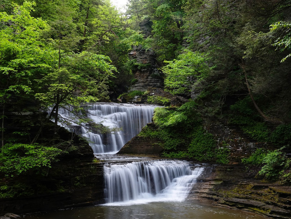
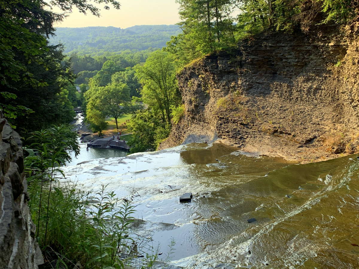

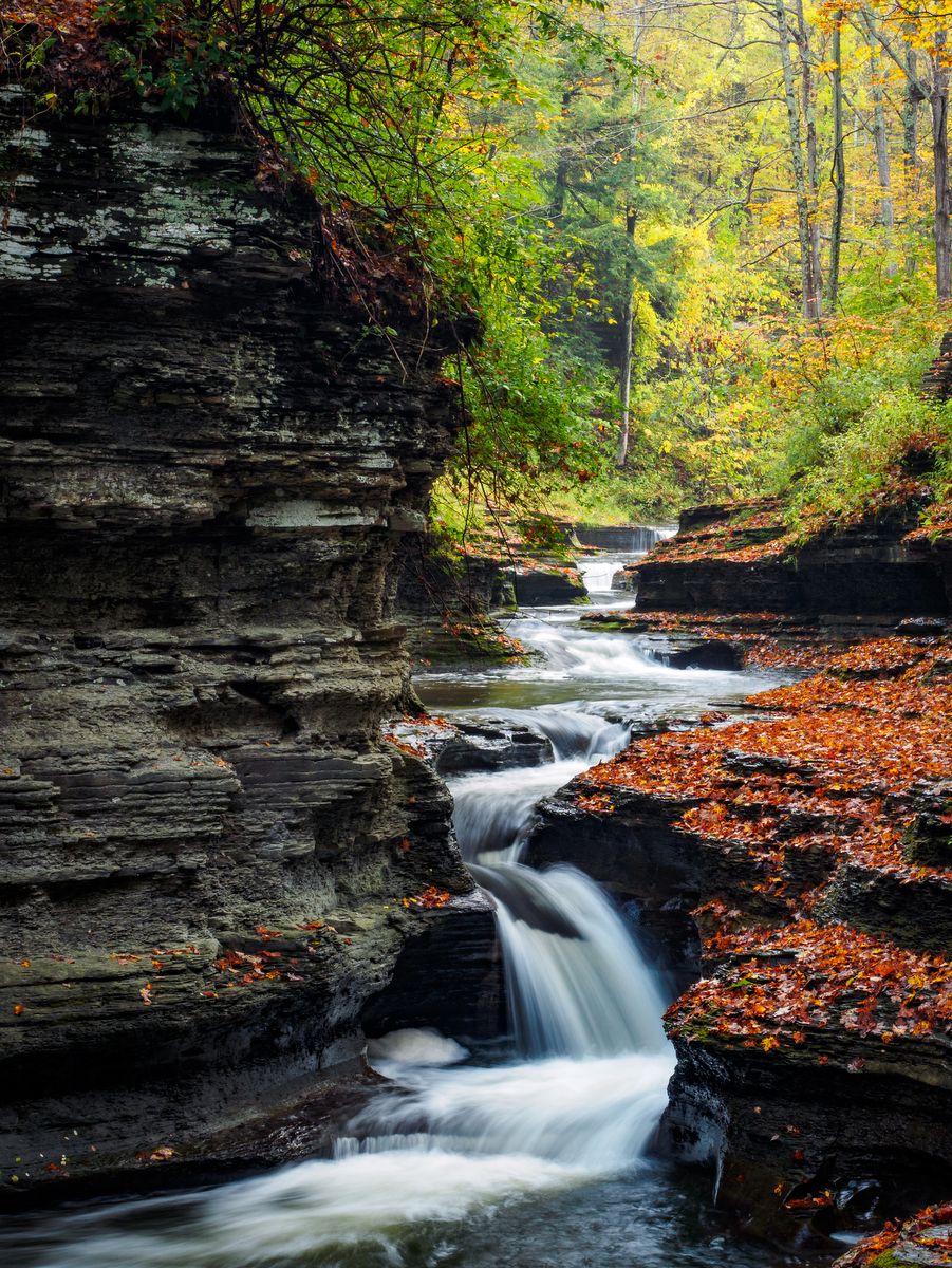
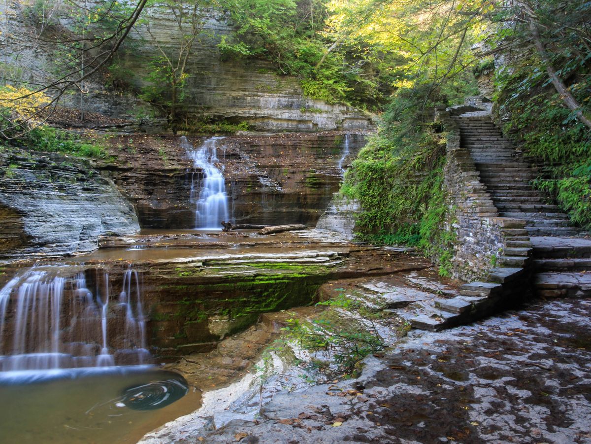
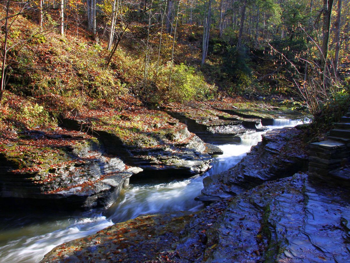
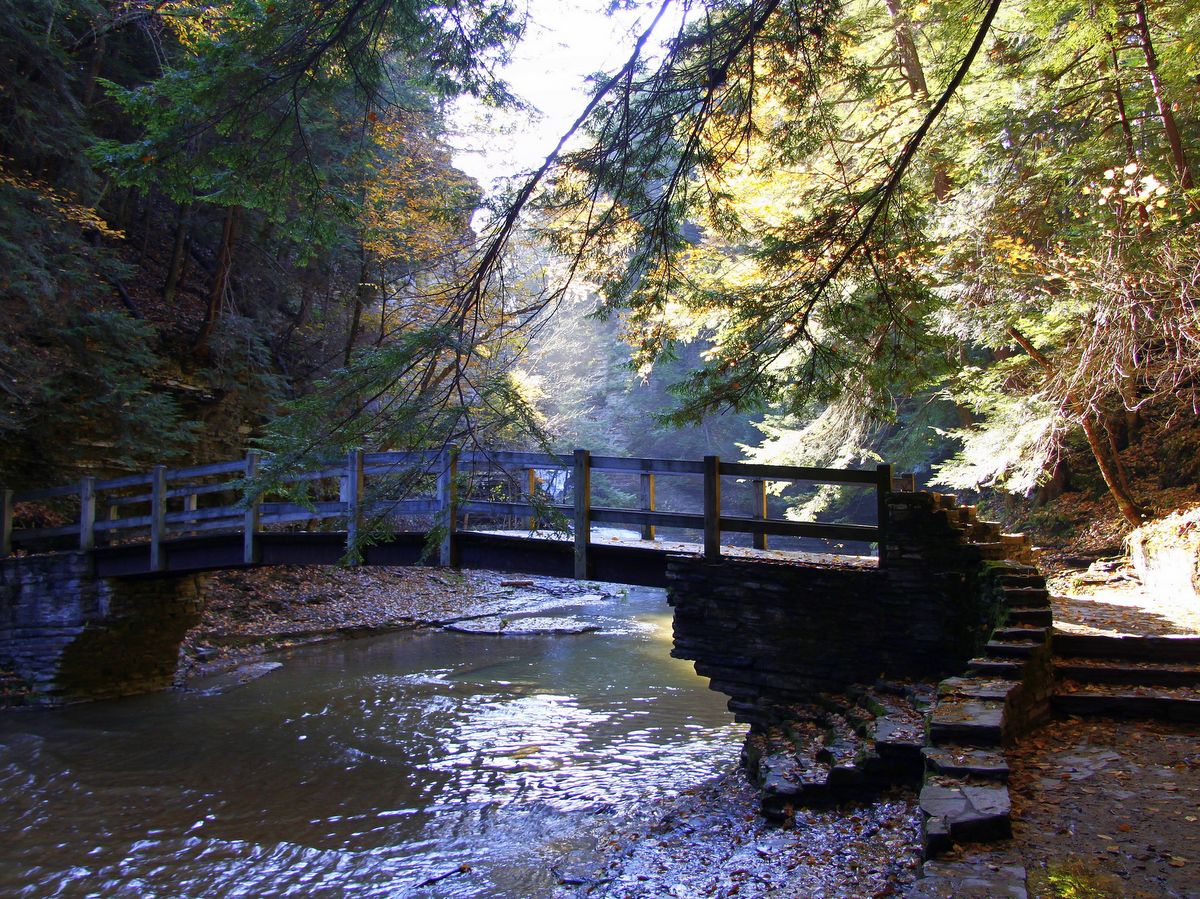
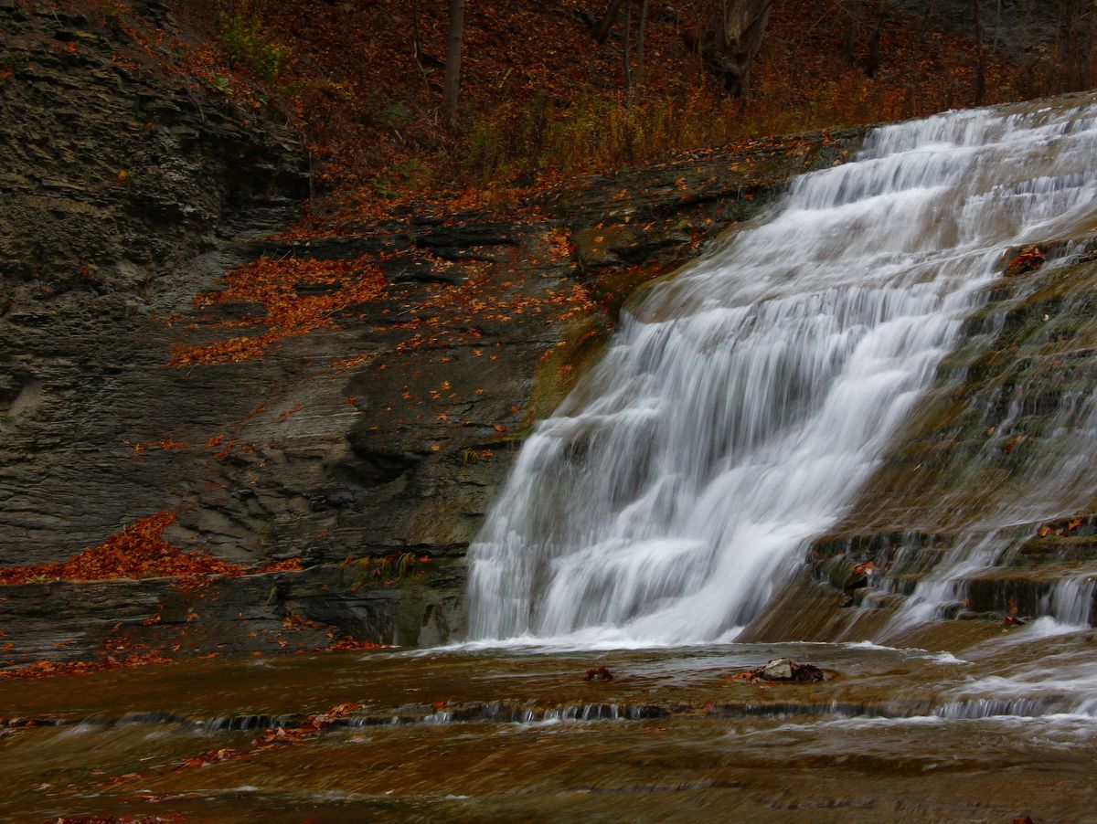
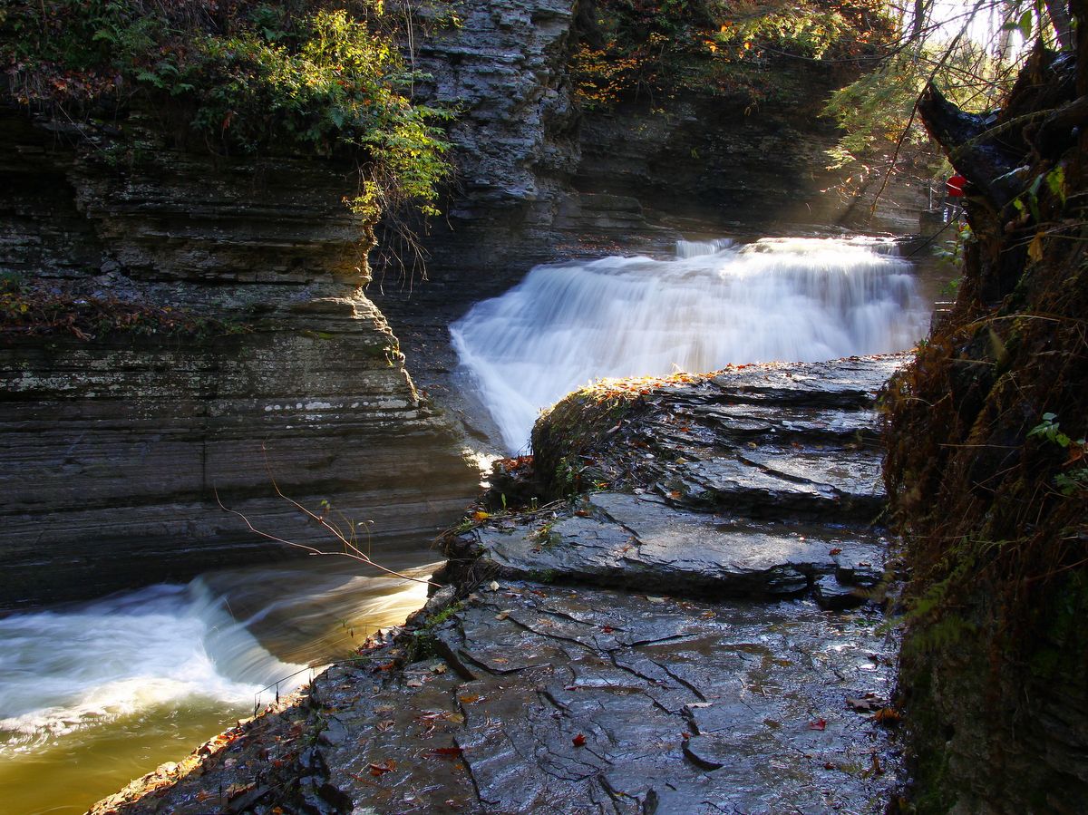
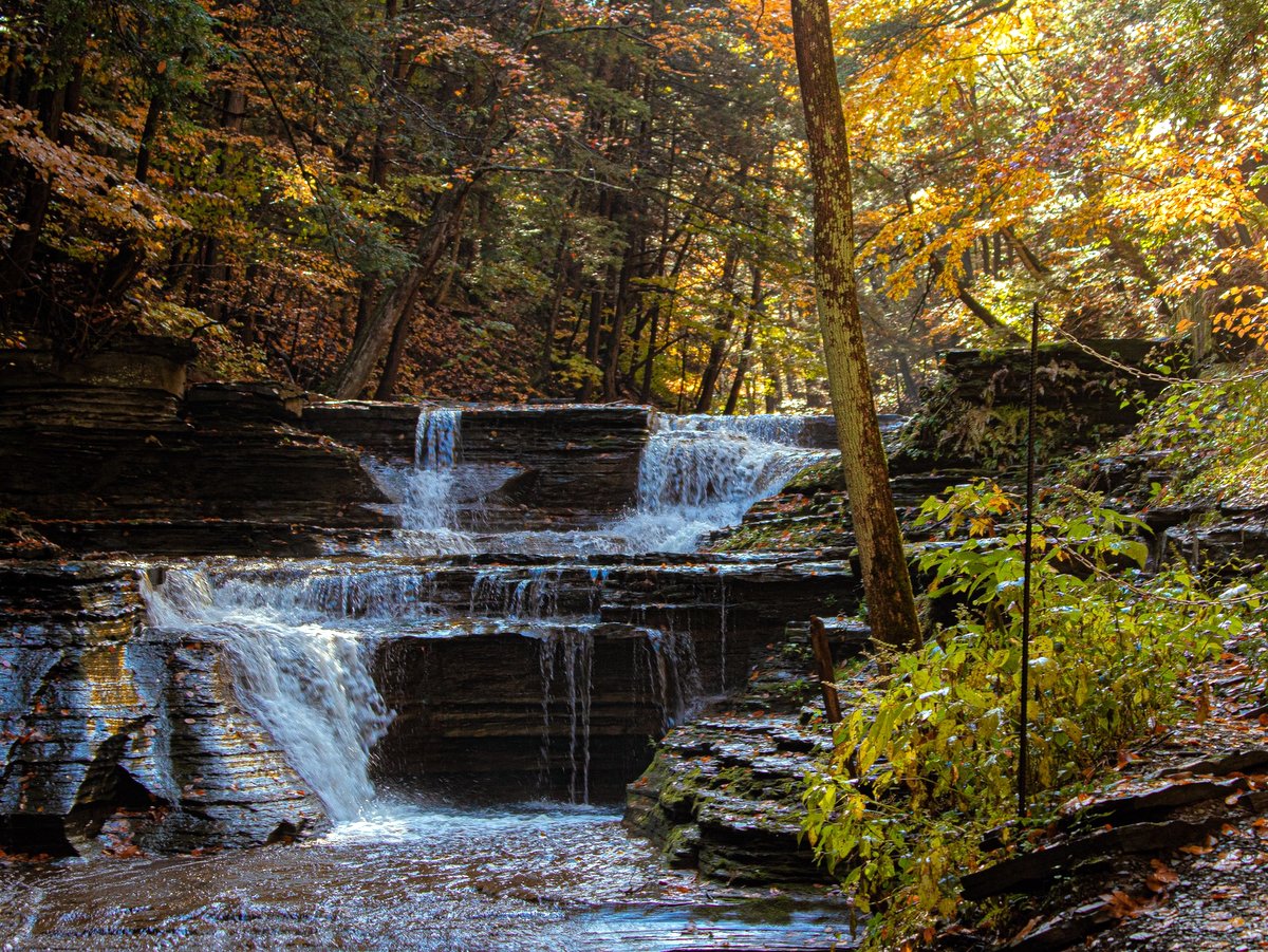
The park’s namesake falls, Buttermilk Falls, tumbles down the striated gorge rock in two distinct drops. The first, nearly 90 feet in height, lies beside the trail that ascends quickly away from the swimming area. The second is visible just above the first from a handsomely built stone lookout. Most of the Gorge Trail and some of the Lake Trail feature beautiful stone walls and staircases that accentuate the scenery as you delve deeper into the gorge.
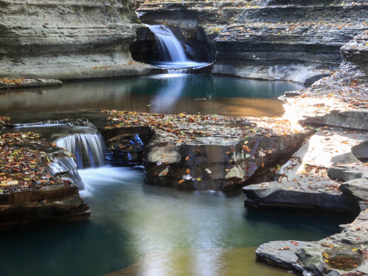
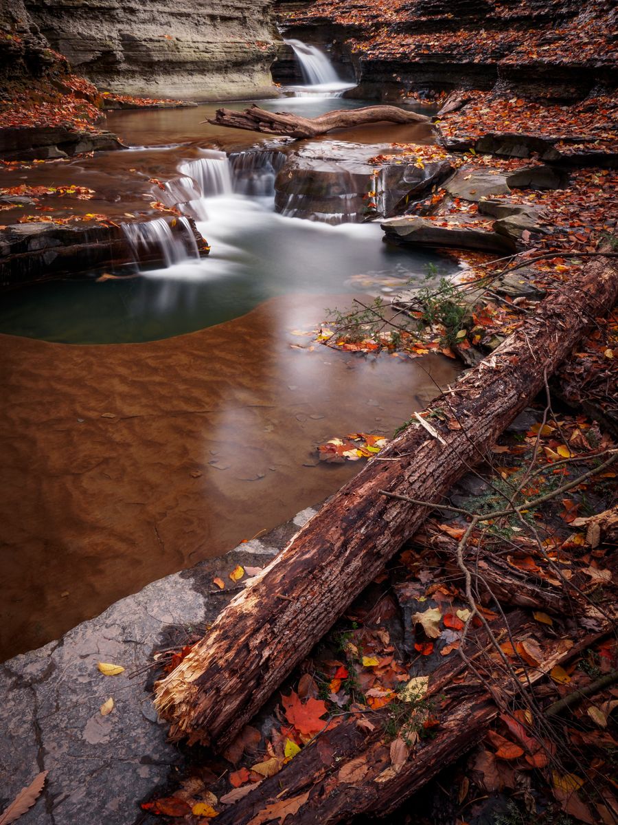
Originally, the park’s infrastructure was built by Civilian Conservation Corps (CCC) crews during the 1930s, but work has continued to create a picturesque interweaving of landscape and waterscape. In addition to numerous stunning waterfalls, there are innumerable small flumes, tumbles, and cascades that contribute to the awesome scene. And on top of all that are the park’s visually striking emerald green potholes.
The potholes vary from feet to inches in diameter and are a stunning example of the substantial sculpting power that water has had in shaping the Finger Lakes. Initially, the holes were formed as plunge pools at the bases of small waterfalls. (Note: this is a relatively microscopic perspective of the great ice age waterfalls that cut hundreds of feet of rock at Green, Round, and Glacier Lakes — see Green Lakes State Park and Clark Reservation State Park.)
As the waterfalls receded further upstream, the remaining plunge pools were scoured by tiny pebble-laden whirlpools that essentially drilled the pothole ever deeper, creating an almost magical scene throughout the gorge. The process has repeated over and over since the glaciers retreated northward ten thousand years ago. In a way, progressing up the gorge is like walking back in time; the upper gorge resembles the lower gorge as it began to form.
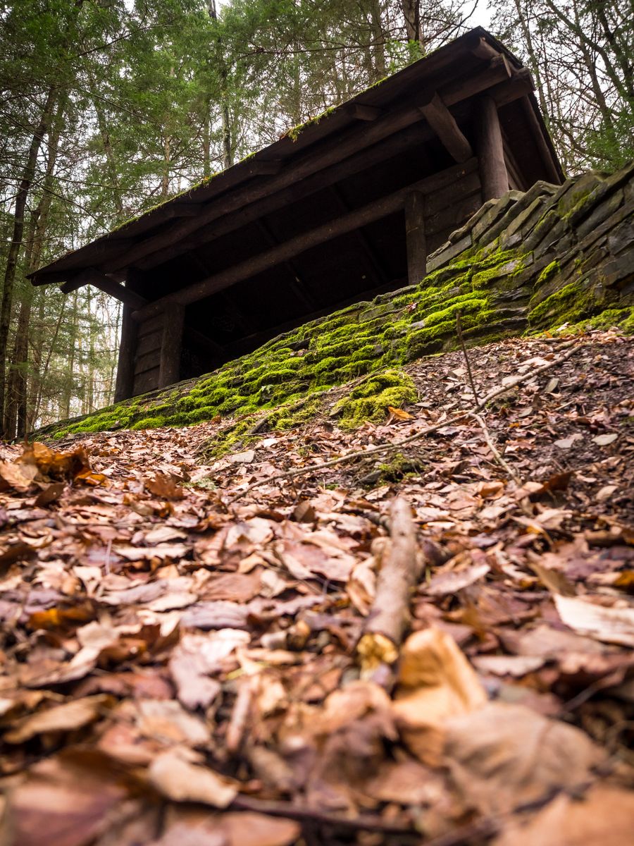
Many visitors to the park do not realize that the trail system extends beyond the gorge and rim trails. Across West King Road, at the end of the Gorge Trail, is the Bear Trail which connects to the upper section of the park and includes 1.5 miles (one way) of hiking trails, picnic areas as well as Lake Treman.
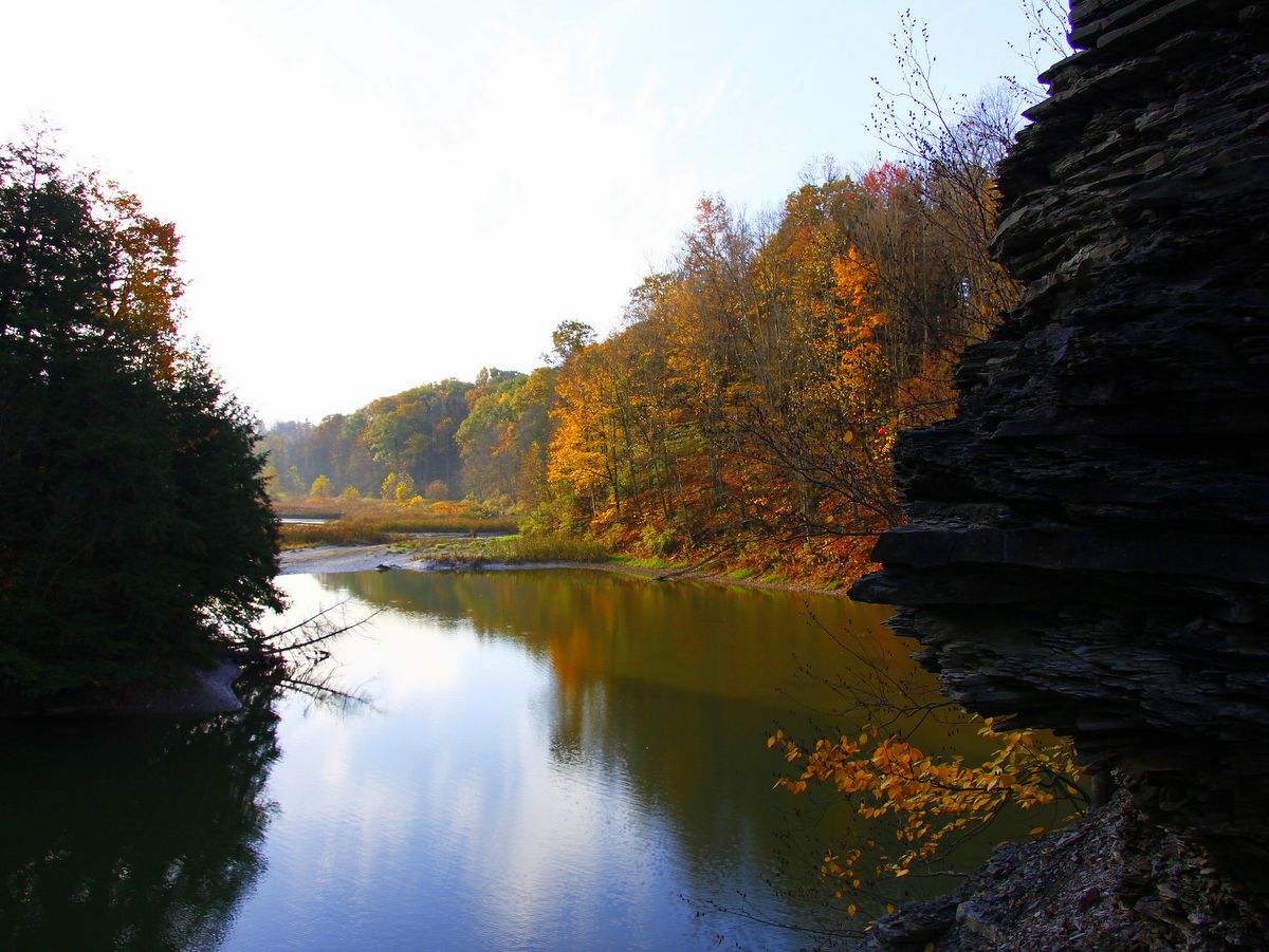
More evidence of the stunning CCC work is found in this section, including a 36-foot-high stone dam that is not only a spectacle to observe but also serves as part of the trail that encircles Lake Treman. The man-made lake’s wooded shores and placid waters are a stark comparison to the gorge’s rocky cliffs and surging water. In the upper portion of the park, sounds of rushing water are replaced with that of birdsong and chittering insects. The extra trip not only provides a diversity of environs but also a leisurely pace and moments of privacy.
On the loop trail around Lake Treman, ambitious visitors can pick up the orange-blazed Finger Lakes Trail and extend their journey to nearby Lick Brook Gorge and on to Treman State Park.
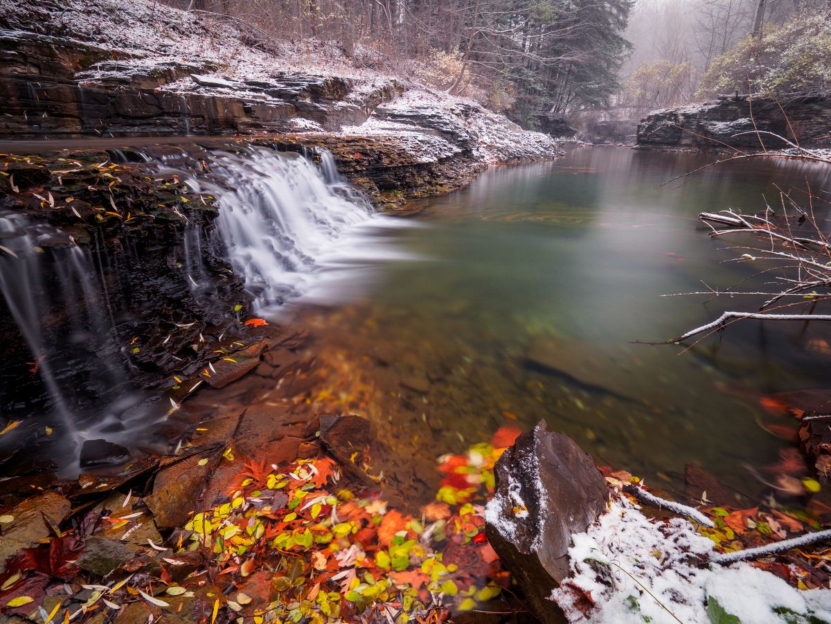
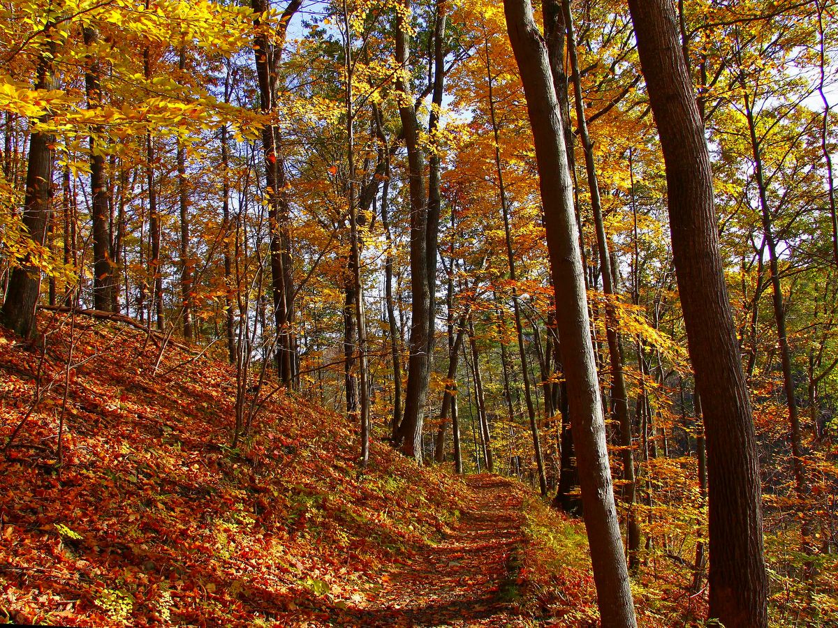
In all, there are roughly 8 miles of trails within the park, but visitors should be aware that the Gorge Trail is only open from early May to early November. Trail closure is regularly scheduled, but the trail opening depends on how much damage and repair work is necessary from the previous winter and resultant floods. The Gorge Trail status is posted on the park’s web site. Other trails are open year-round. While spring and early summer are best to see the waterfalls at their fullest, autumn adds unique contrast, and when the leaves have fallen, reveals parts of the gorge that were previously concealed by the dense understory.