Share This Location


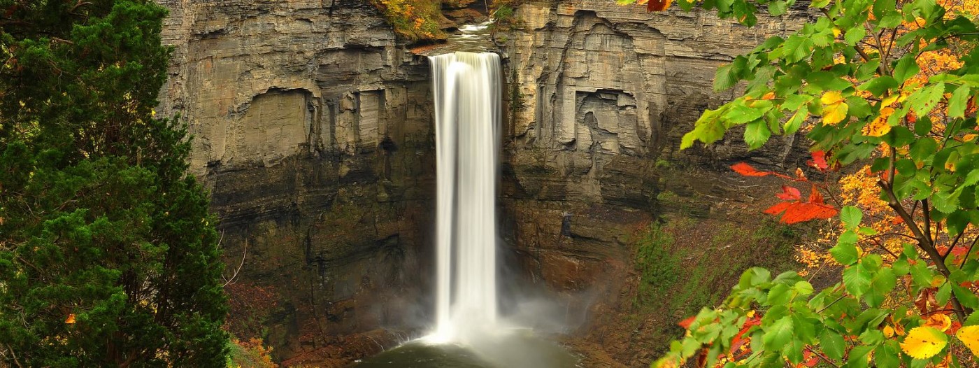
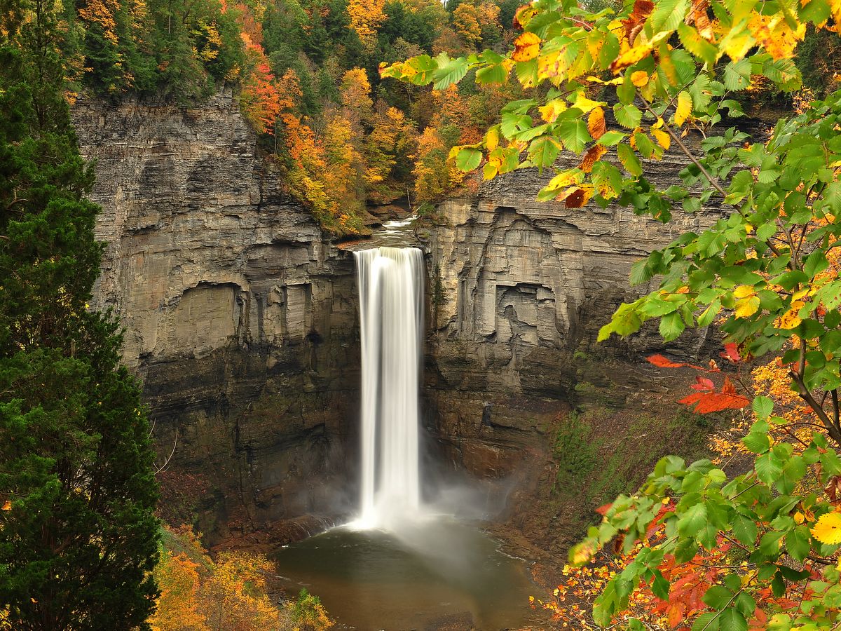
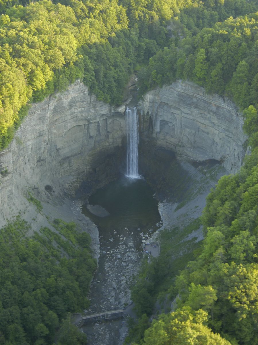
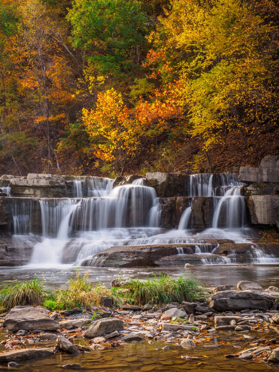
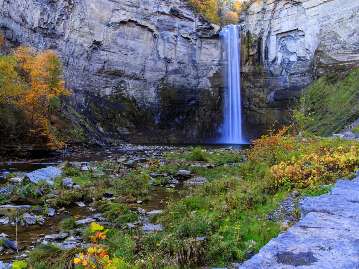
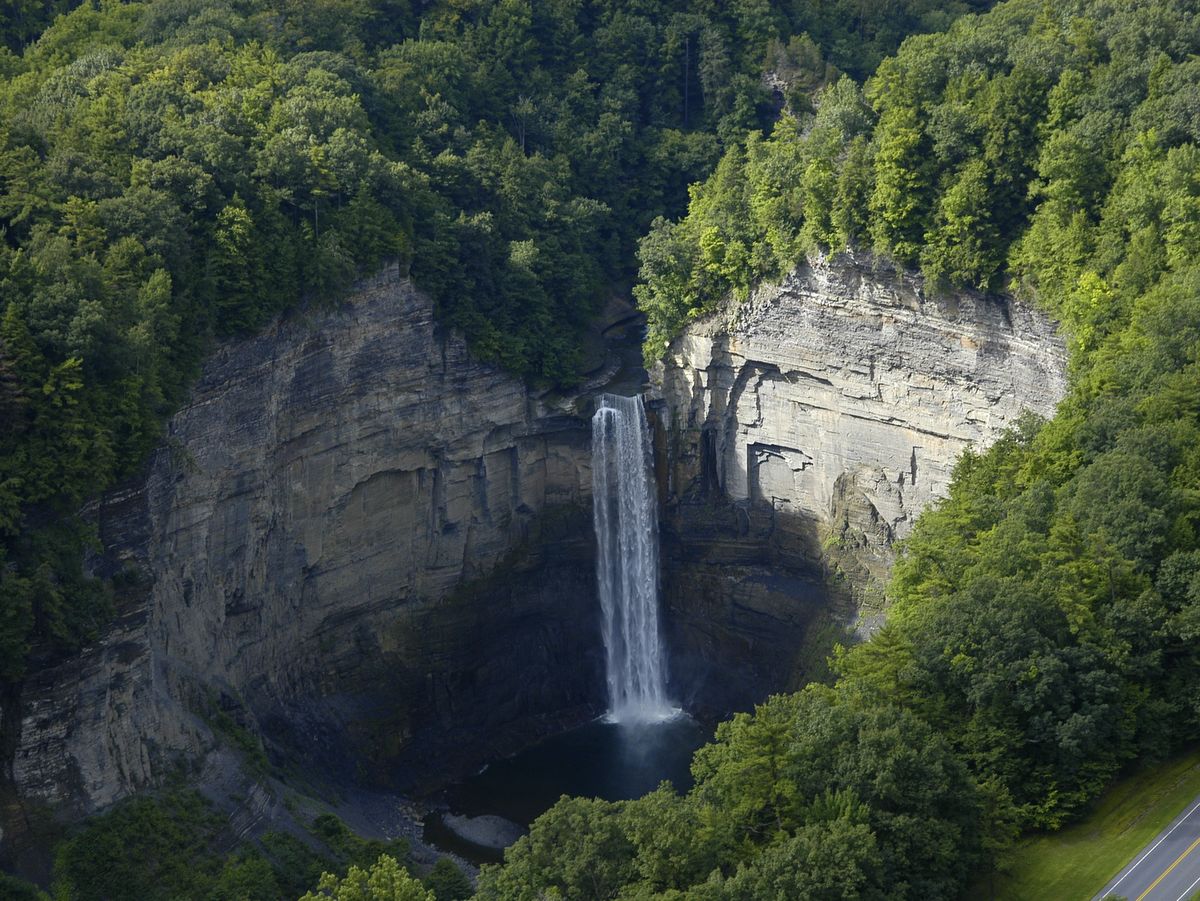
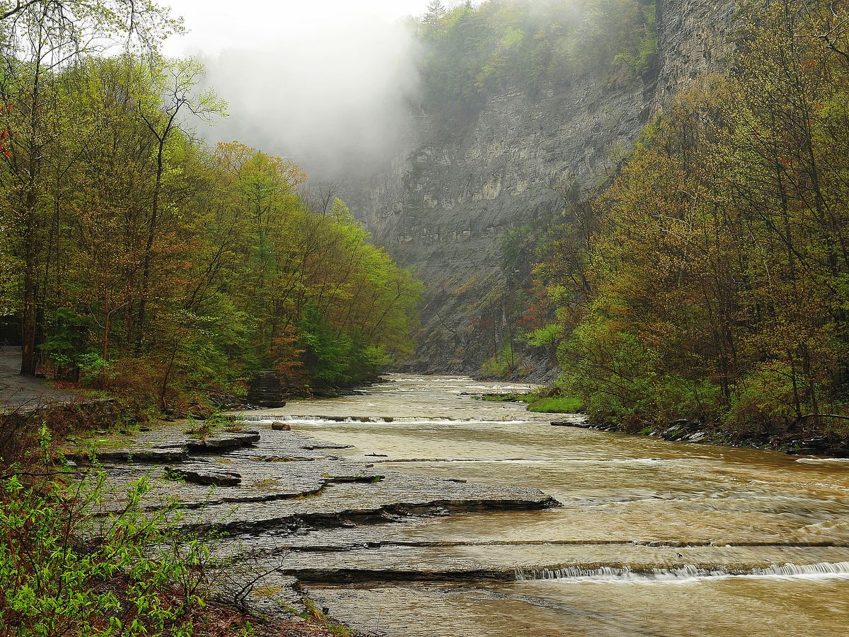
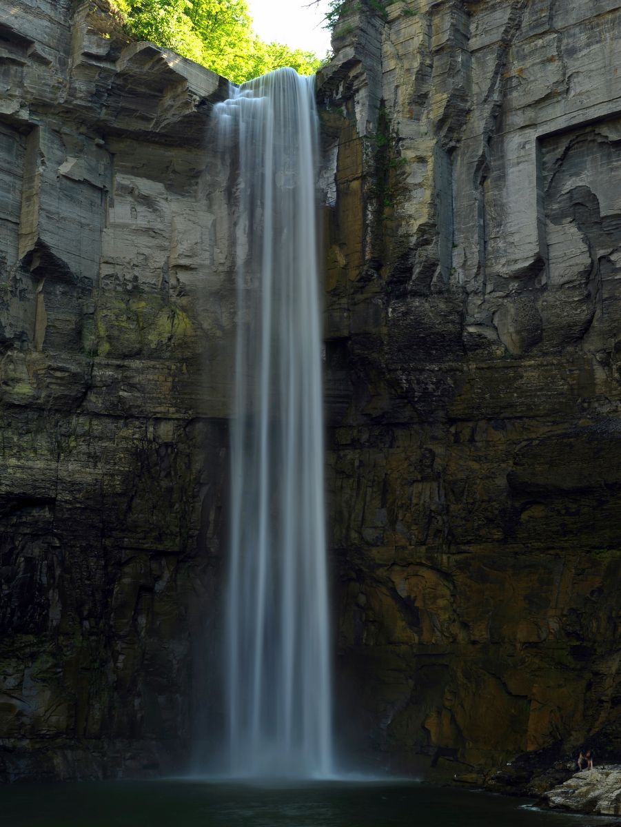
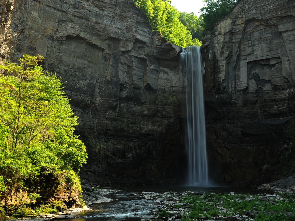
Ithaca is most certainly a city of gorges, but the gorge at Taughannock Falls, in nearby Ulysses, is the biggest of them all. It is perhaps more accurately described as a canyon.
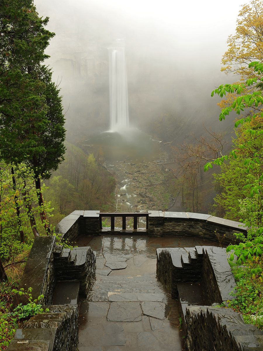
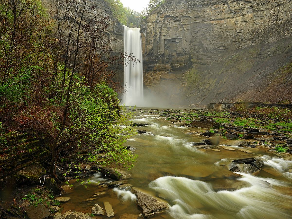
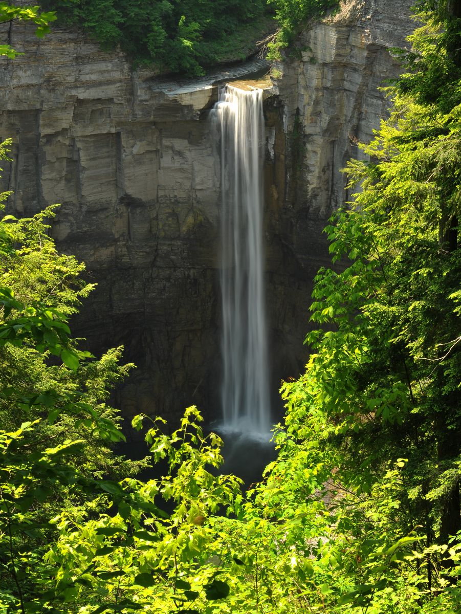
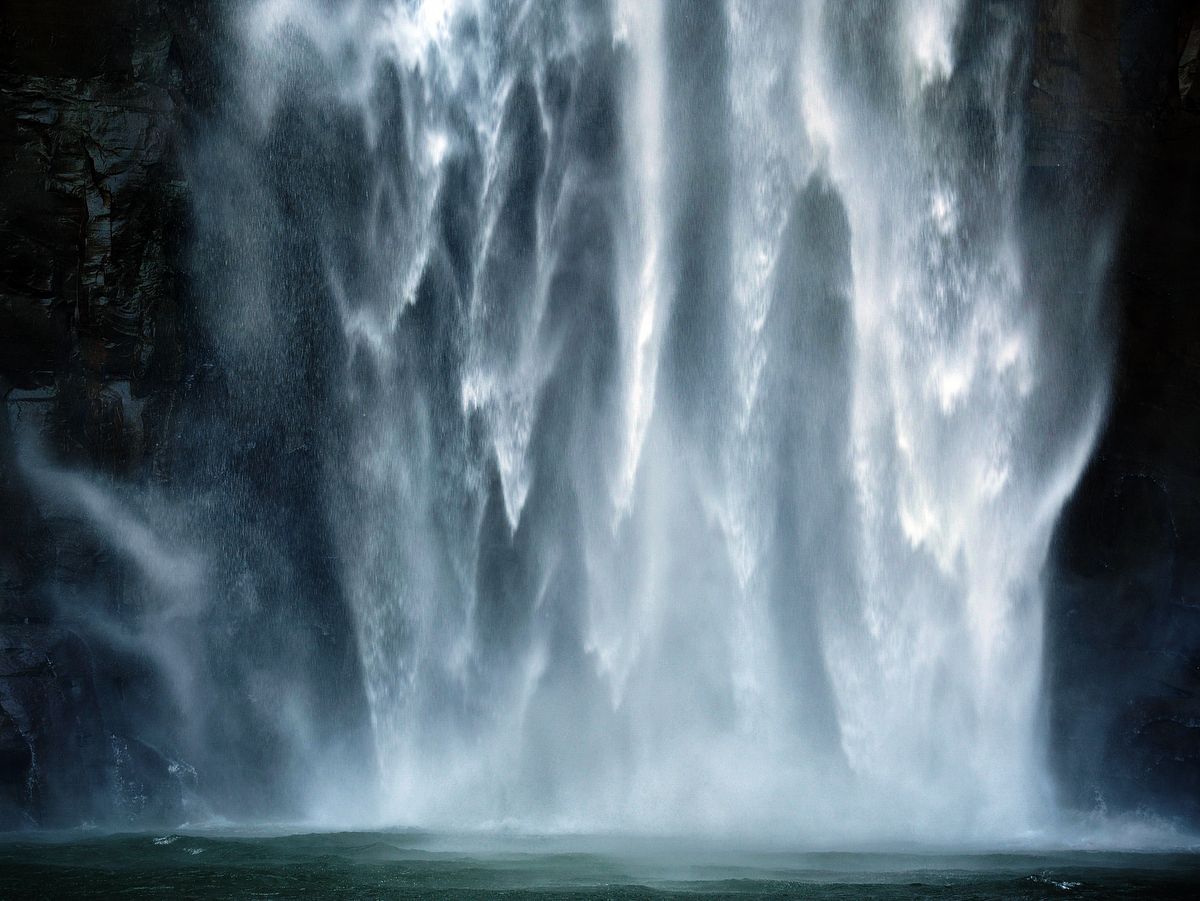
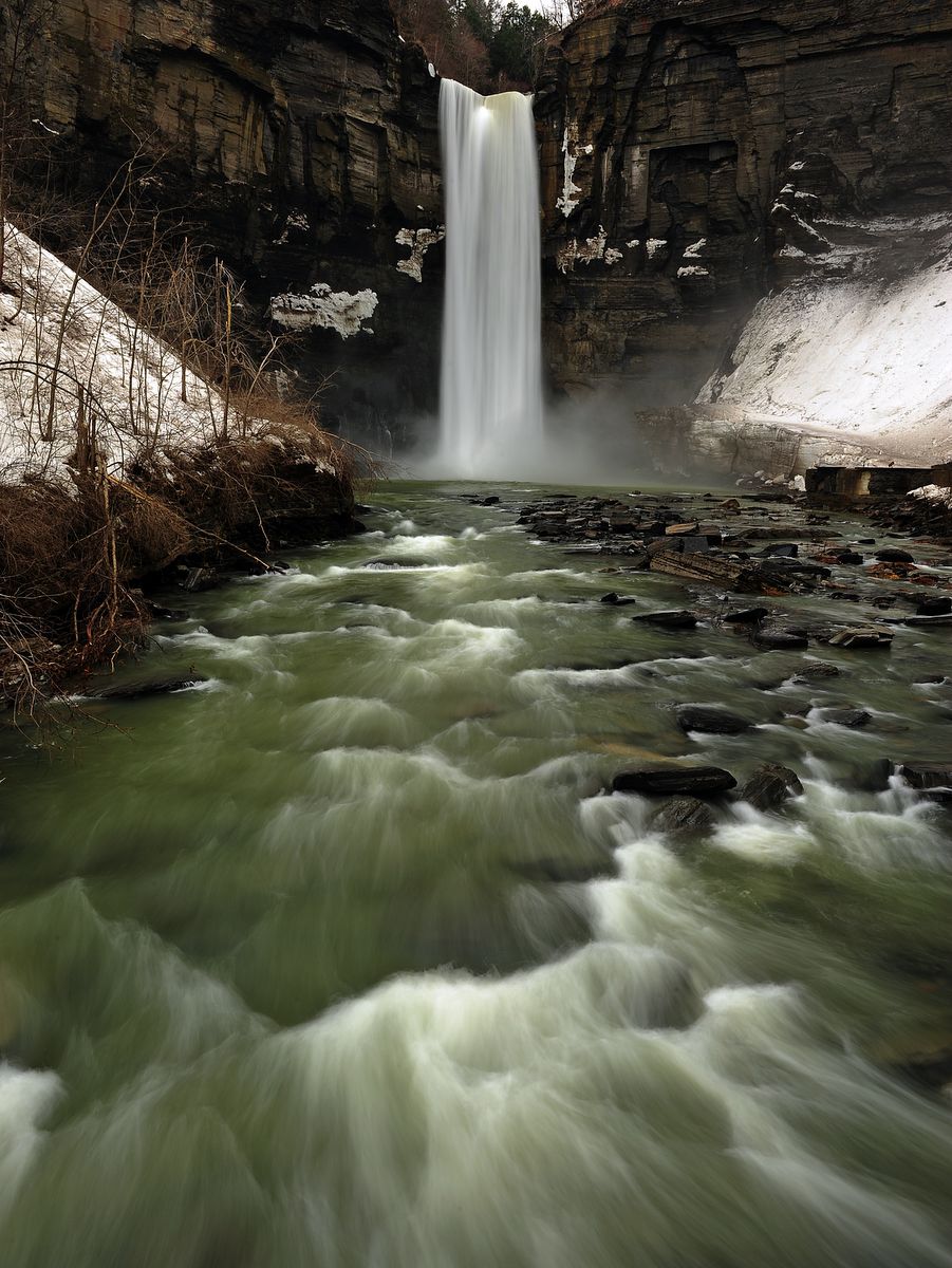
The waterfall at the end of the lower portion of the gorge is one of the tallest waterfalls in New York State. For comparison, Taughannock Falls is 215 feet high while Niagara Falls is 167 feet high. The mile-long trail within the canyon is nearly level and easily accessed, making it an excellent trip for all members of the family, from toddlers to grandparents and everyone in between.
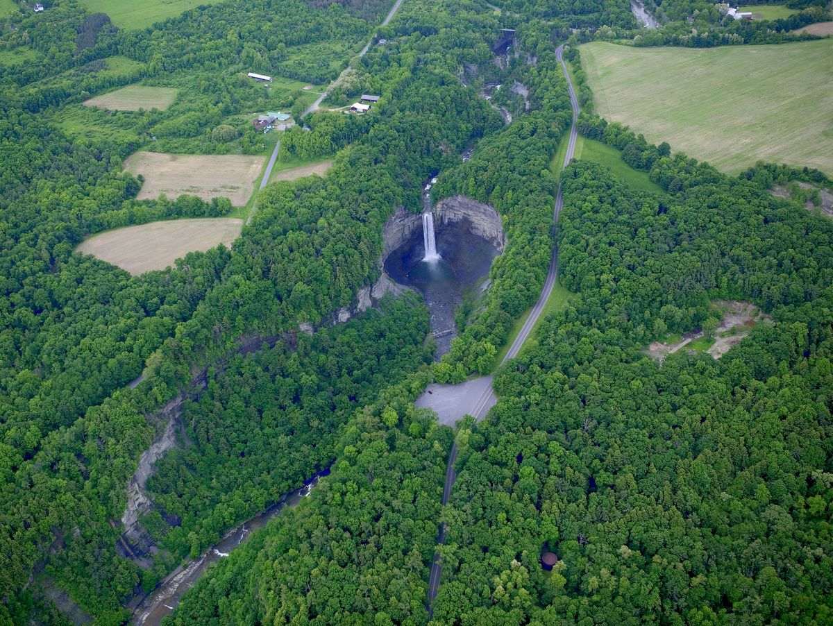
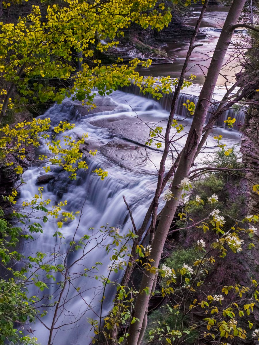
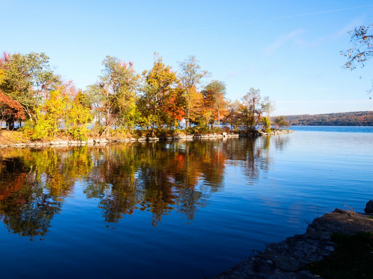
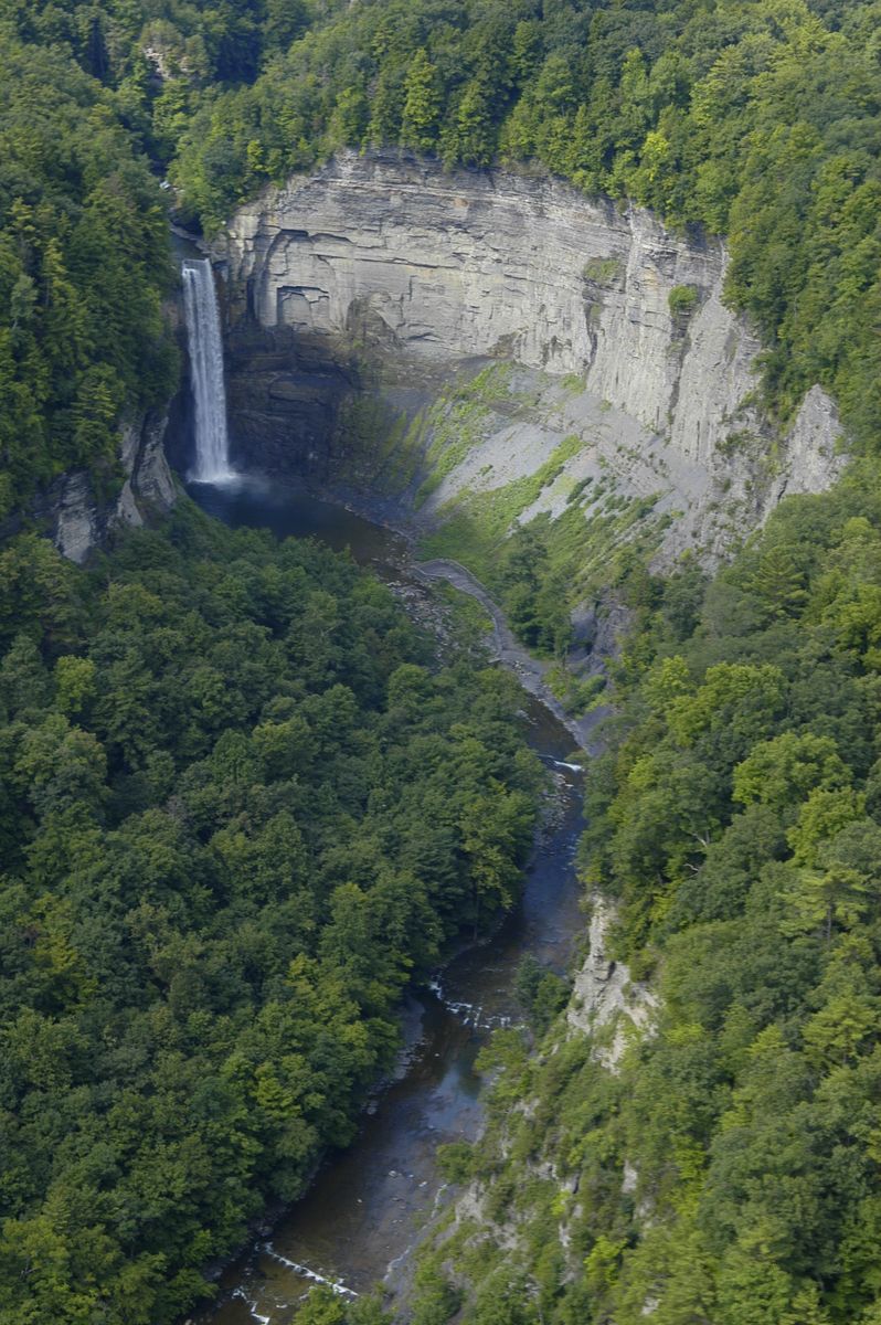
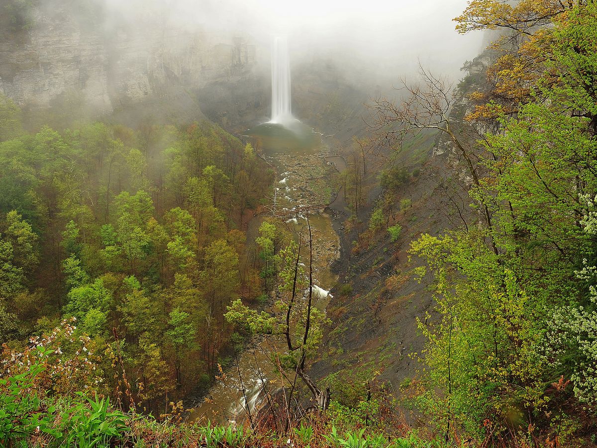
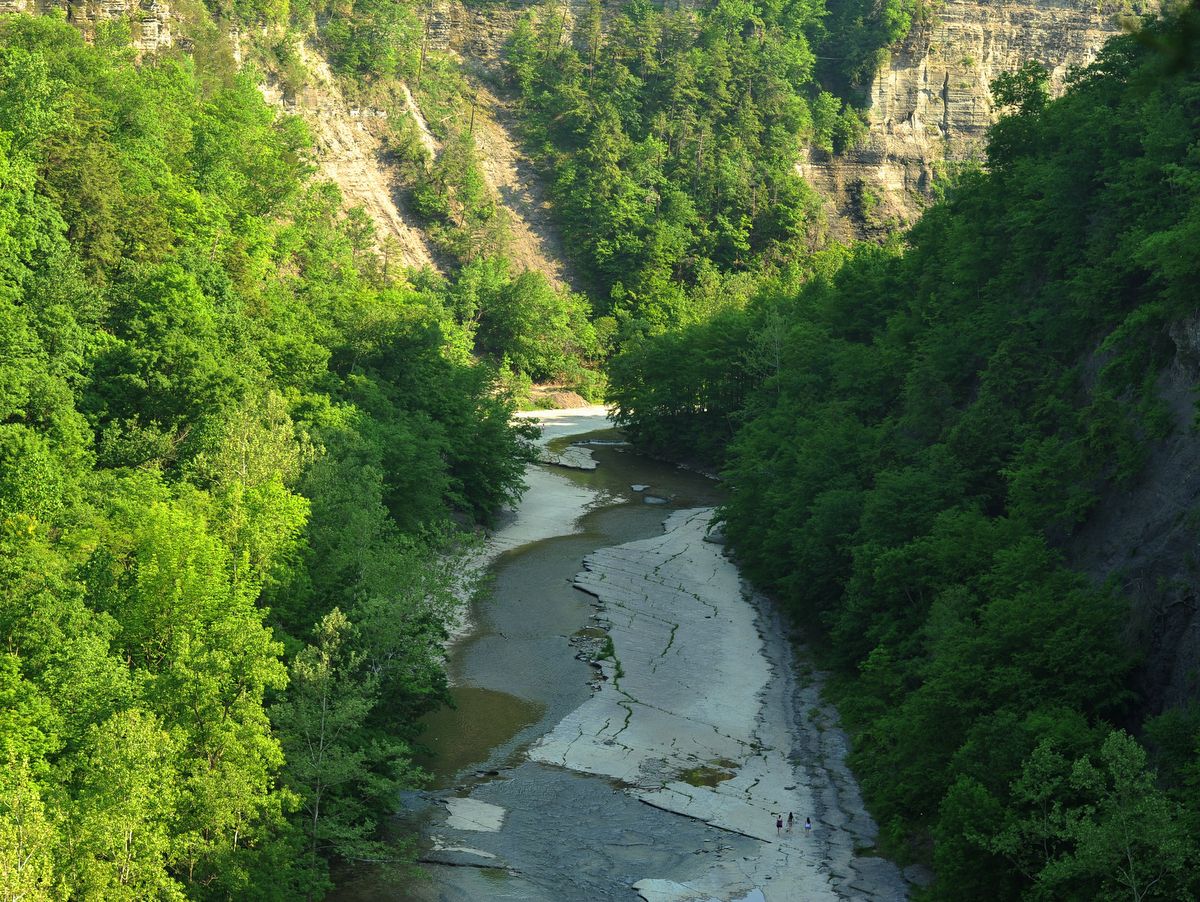
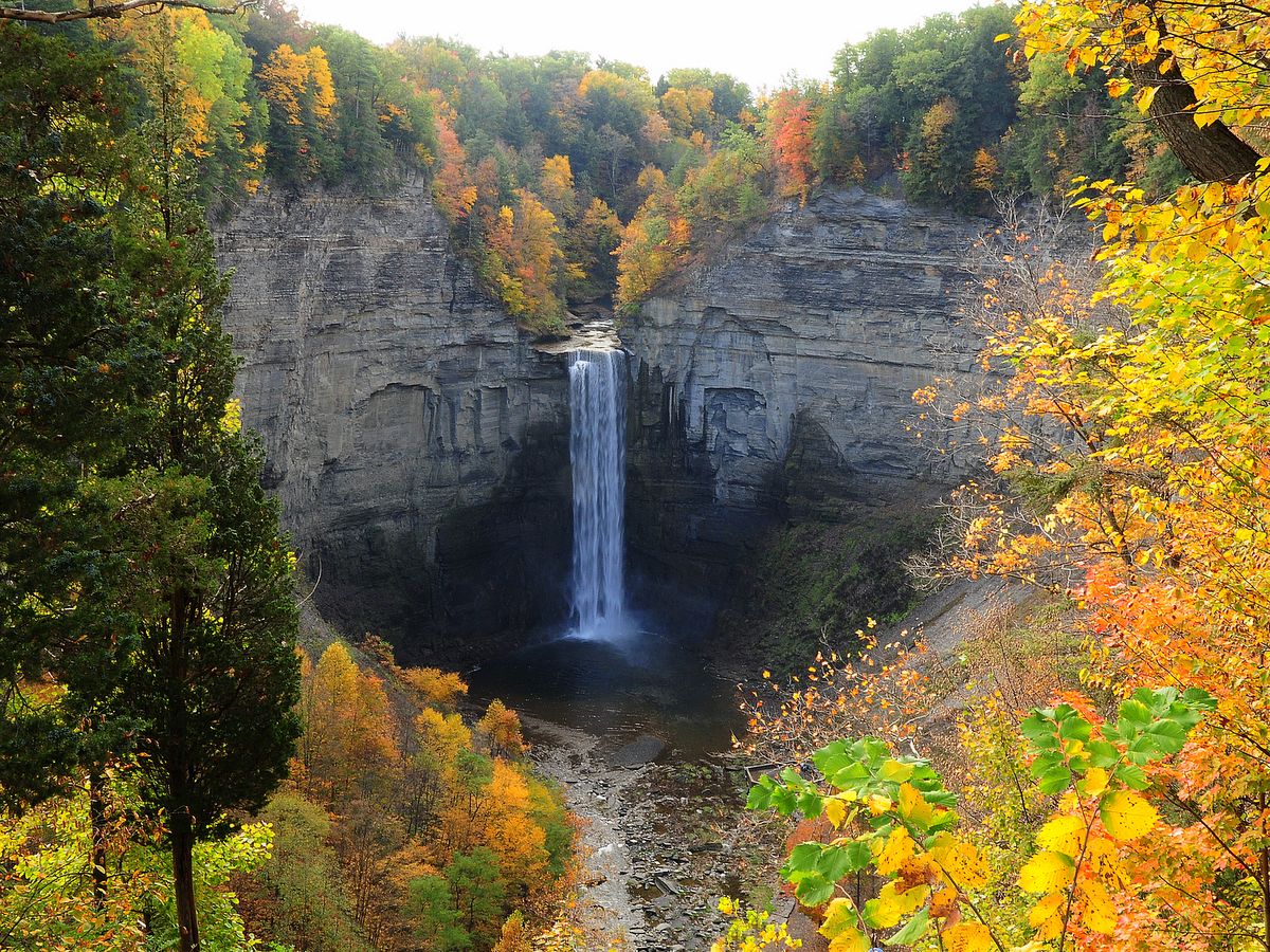
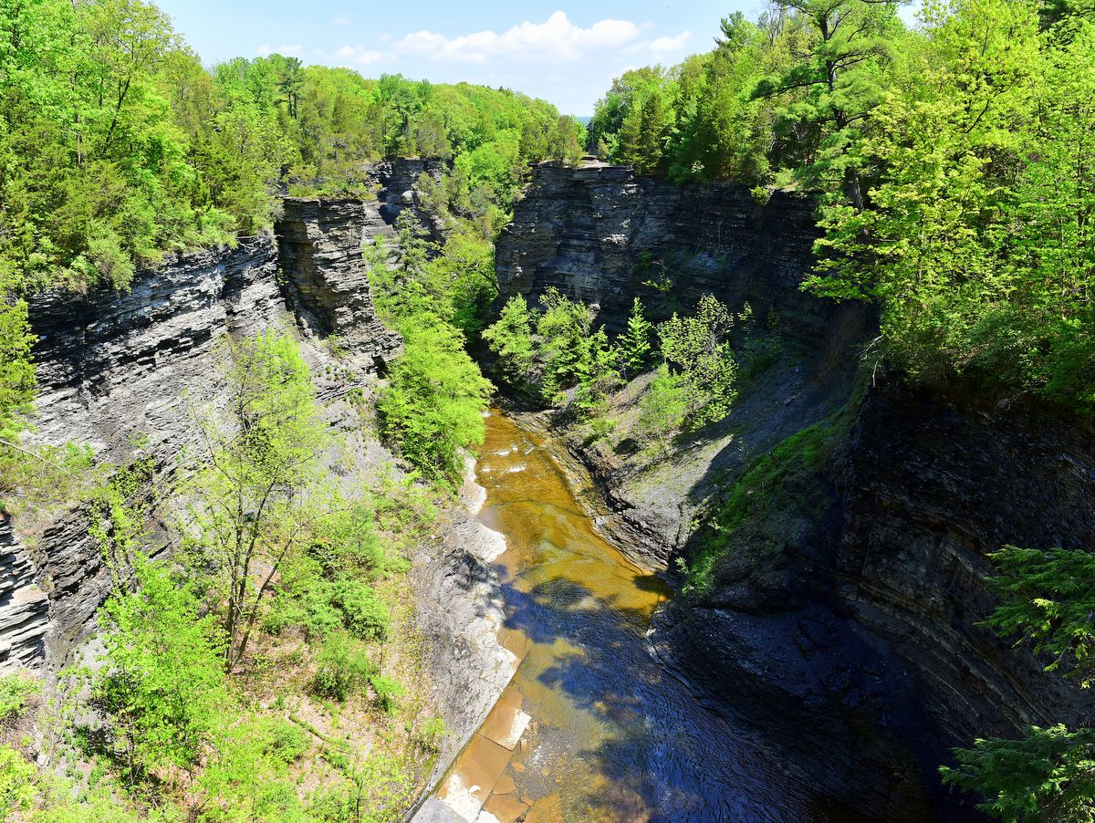
The Rim Trail that encircles the lower and upper gorges provides stunning views of the upper gorge and down into the canyon. Furthermore, it includes some beautiful vistas of Cayuga Lake along the northern descent. The Rim Trail is far less frequented by park visitors and offers a unique insight into the gorge’s formation when comparing the upper and lower portions.
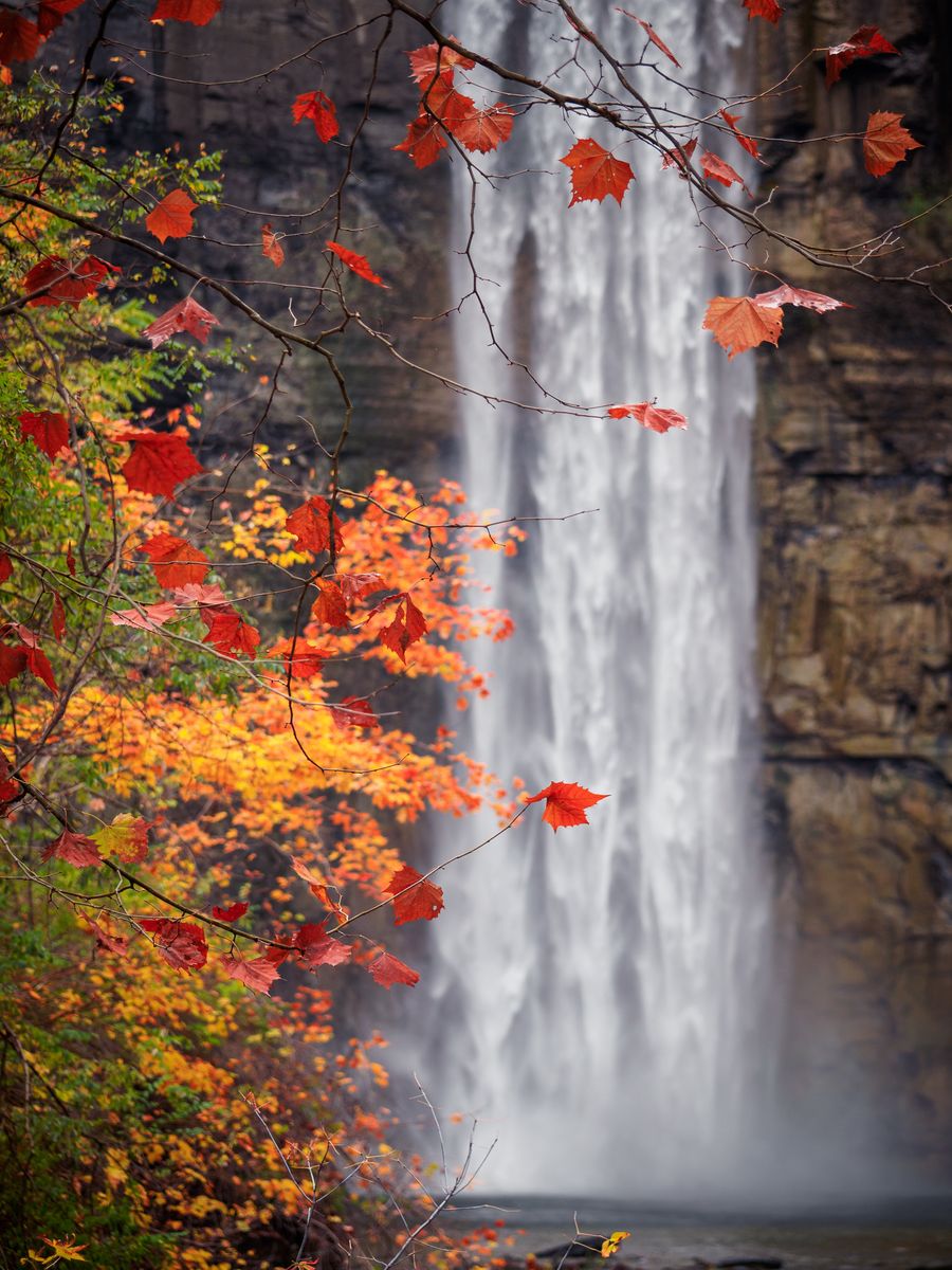
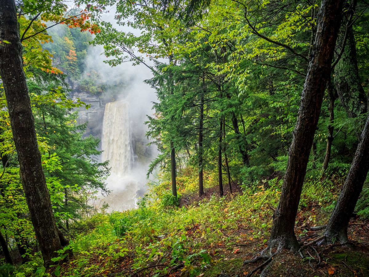
The main lookout along the northern edge is accessible via Taughannock Park Road and has a large parking area and stone lookout. Be mindful that this is a popular stop along the wine trail and for wedding parties, and the lookout is sometimes several groups deep. They are all there hoping for the perfect picture, so lines often form to access the lookout. Combine the stunning falls with the handsome stonework and it’s easy to see why it’s so popular. You will want to bring an ample dose of patience along with the camera.
The falls are not the only impressive aspect of the park. Many will find the history of how the long, broad gorge was formed to be equally impressive. After the glaciers reached their apex, they began a slow and halting retreat back north. During this time water flowing over the leading, or more accurately receding, edge became trapped between the terminal moraine to the south and the glacier itself. The deep troughs that the ice had gouged out soon filled to form glacial lakes more extensive and deeper than seen today. Look up at the hilltops surrounding any of the Finger Lakes and you will see where the lake’s shore was during the glacial retreat. You can now begin to imagine how big and deep these immense lakes were.
The falls are not the only impressive aspect of the park. Many will find the history of how the long, broad gorge was formed to be equally impressive.
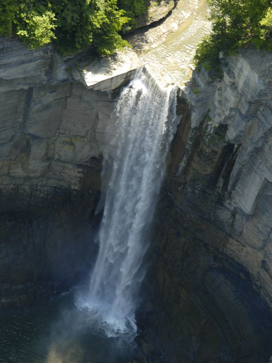
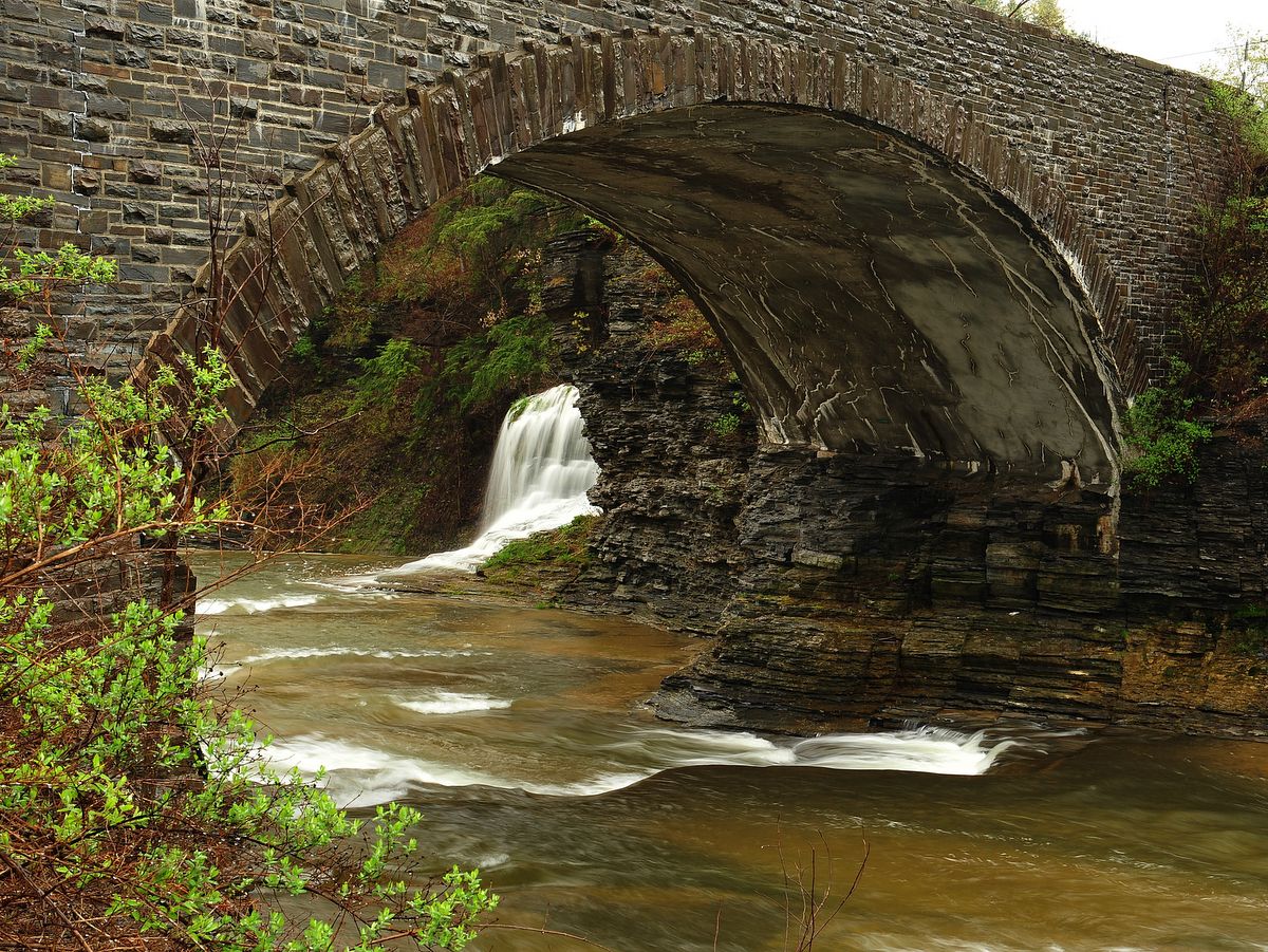
Streams from the surrounding hillsides would flow into the interglacial lakes often at or near their hilltops. As the glaciers retreated, lake levels would drop leaving valleys high above the lake level. These “hanging valleys,” once simple stream beds, now had precipitous waterfalls. The surging water flowed over hard capstone, but underneath was highly erodible shale which often cleaved off in huge chunks. Eventually, the capstone would be undercut so much that it would fall as well and the hanging valley would recede further into the encompassing hillside.
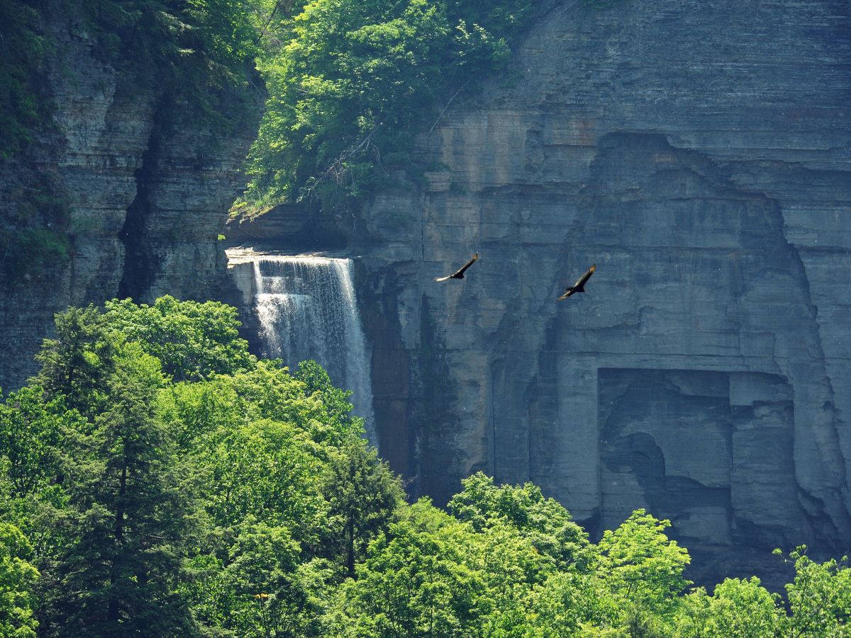
This cleaving is still going on today, and here in Taughannock Falls the blocks are so massive they are often as big as houses. Videos of these unpredictable events are daunting and once seen, remind visitors that the base of the falls is a lethal and dangerous place. Do not wander off the trail or past the viewing area as falling boulders are a regular occurrence.
This cleaving is still going on today, and here in Taughannock Falls the blocks are so massive they are often as big as houses.
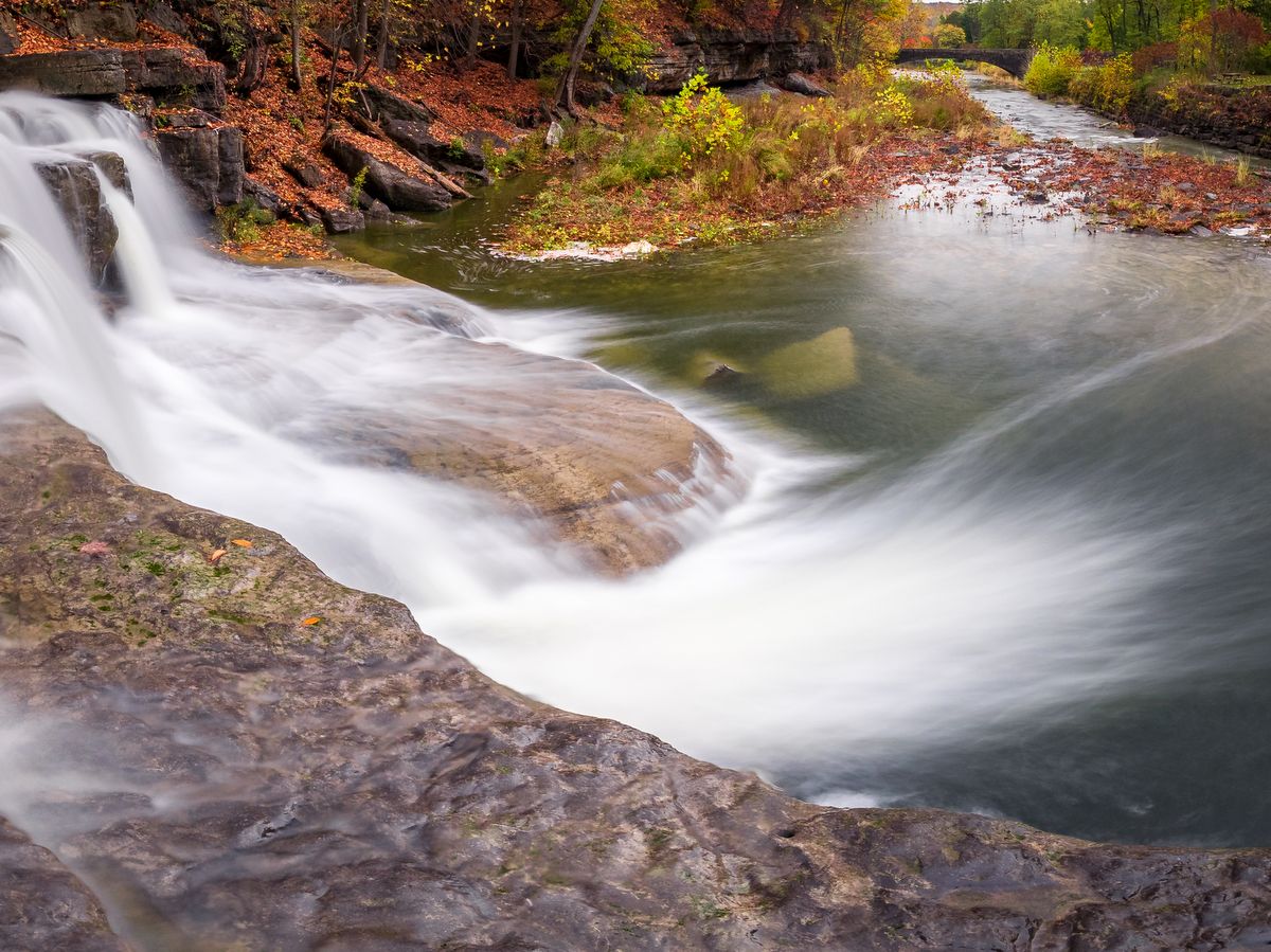
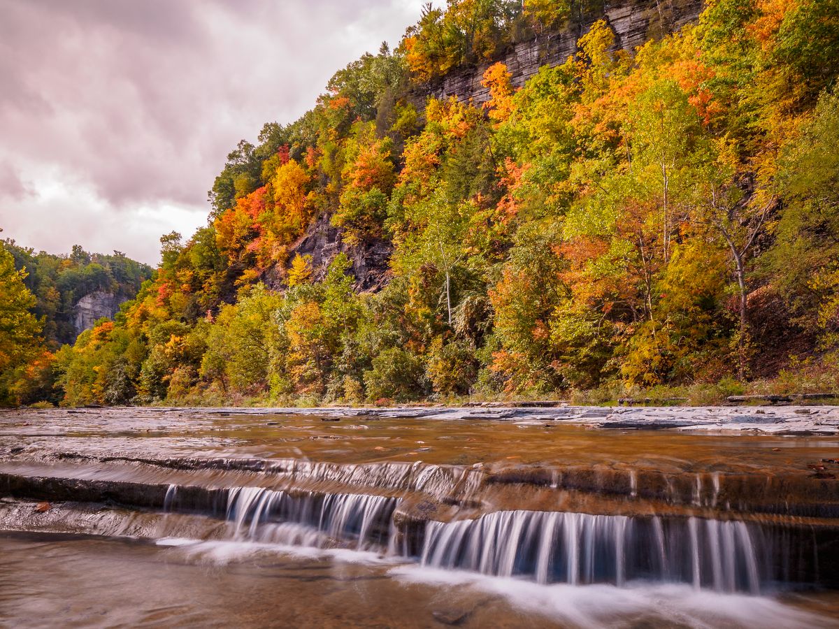
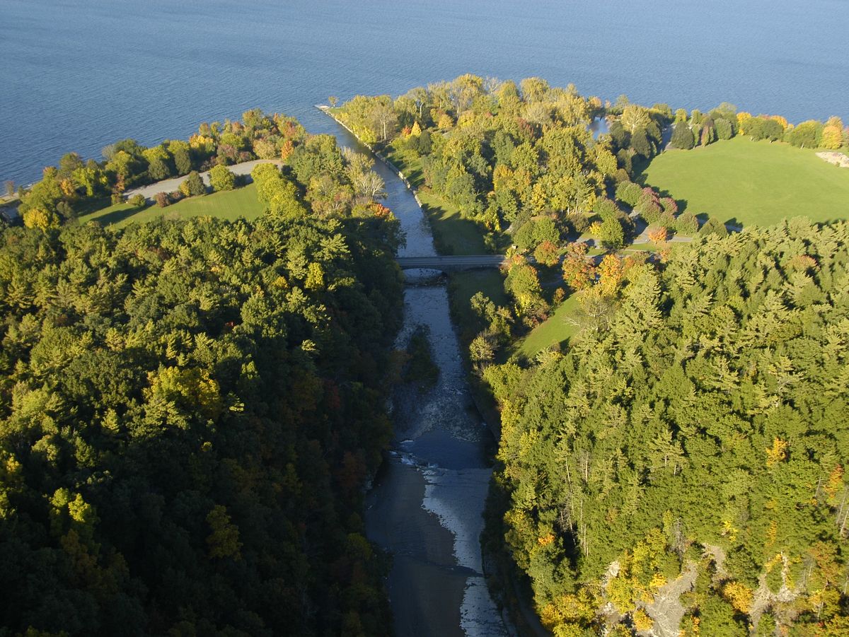
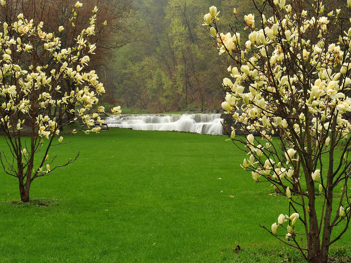
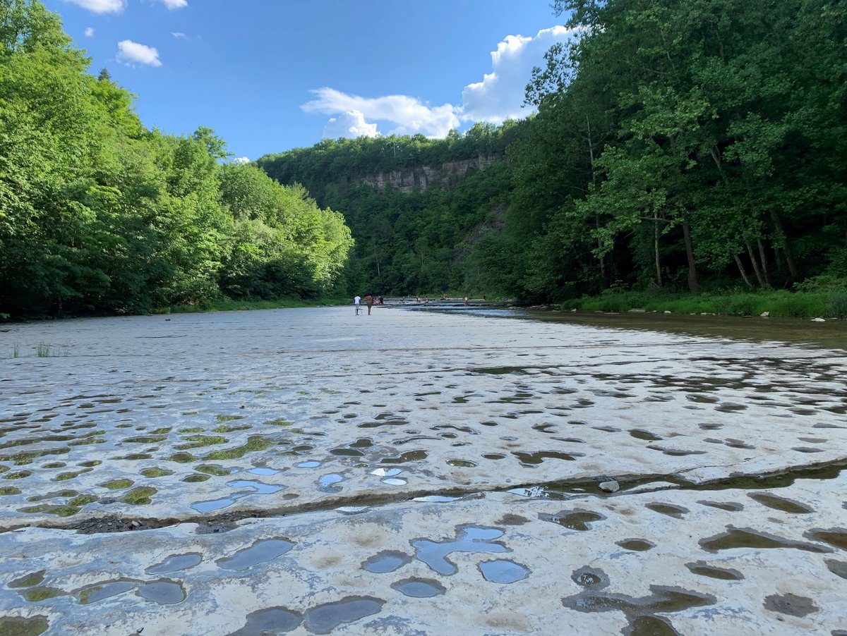
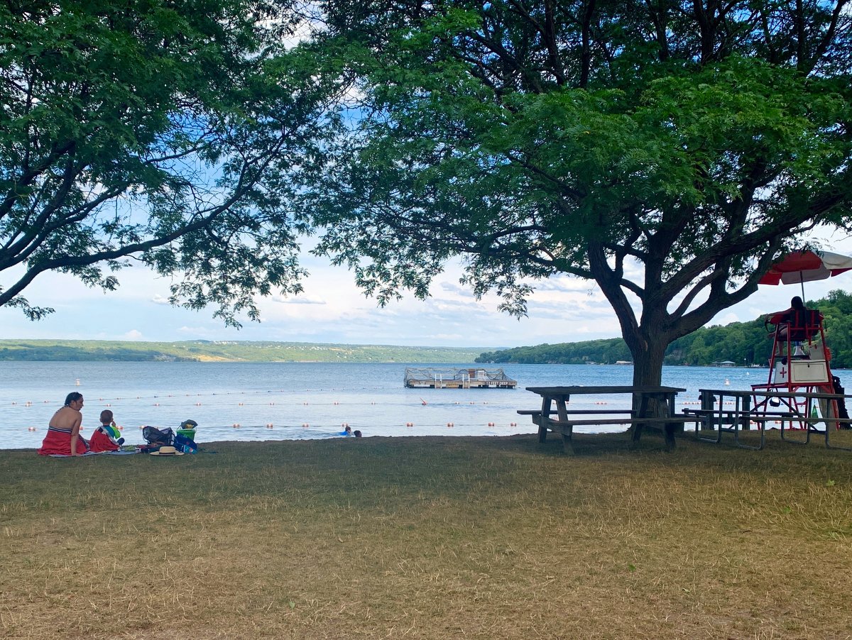
While walking through the canyon and viewing the 400-foot-high gorge walls, you might wonder where all the rock went. Simply put, the outwash is the lakeside portion of the park, known as Taughannock Point, which extends nearly a quarter-mile into Cayuga Lake. Presently, the outwash is home to the park’s swimming beach, an abundance of picnic areas, and boat slips. Combine all these features with a popular campground and it’s not surprising that the park is bustling all summer long.
Unlike other gorge trails in the region, the trail to the waterfall is generally open year-round. Note the gorge trail is closed occasionally due to severe weather or for maintenance, so it is still a good idea to check the park’s web site to confirm the trail is open.
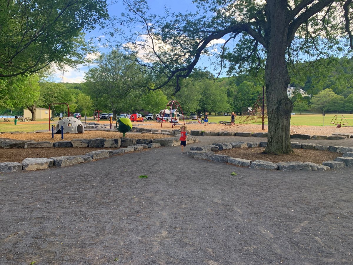
In the summer, the lake is often as big a draw as the gorge. With a large playground, ample picnic tables and grills, and a swimming beach, the lakeside of the park is also wildly popular. There is even a summer concert series to entertain folks of all ages.