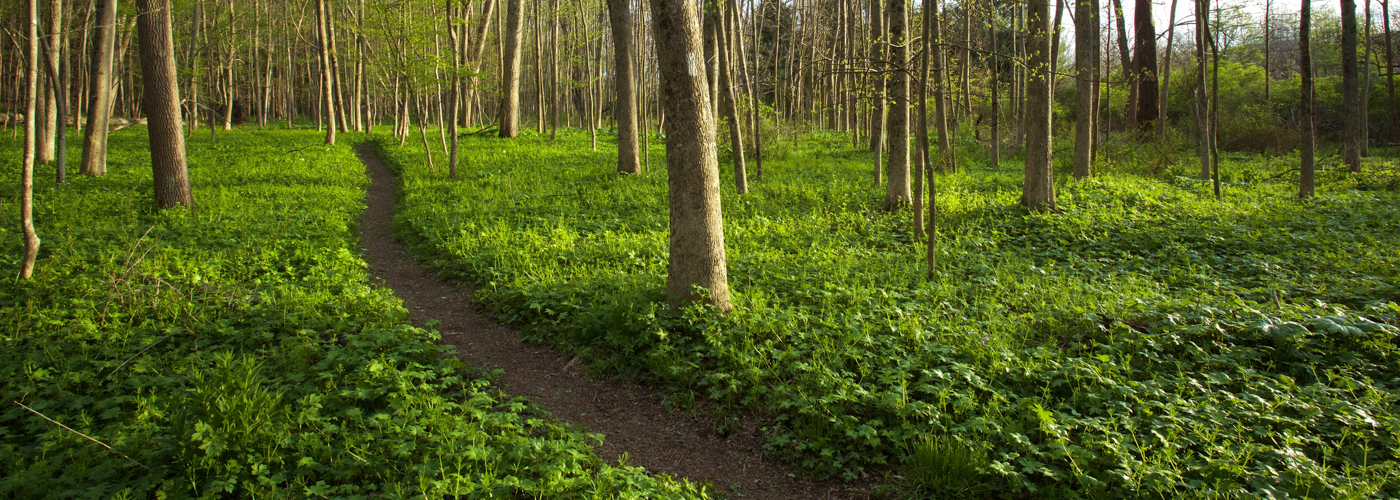


Our Favorite Hikes on the Finger Lakes Trail (in the FLX Region)
Over 950 miles long and covering some of the most scenic land in New York, the Finger Lakes Trail (FLT) system runs from Allegany State Park on the Pennsylvania border to the Catskill Forest Preserve, with branch trails to Niagara Falls, the Genesee River valley, the Great Eastern Trail, the central Finger Lakes, and the Syracuse region. This system is built and maintained almost entirely by volunteers.
Here in the Finger Lakes region, there are a few hikes along the FLT that really stand out, including hikes that pass through Finger Lakes Land Trust nature preserves, NY State Forests, and county parks. We invite you to explore some of the best.
Birdseye Hollow State Forest
Spanning more than 3,000 acres, Birdseye Hollow State Forest has seven designated primitive lakeside campsites and nearly 11 miles along the Finger Lakes Trail. The white-blazed FLT winds its way mostly north to south through predominately deciduous forest, though several conifer plantations dot the landscape as well. Deep woodlands and babbling brooks occupy the majority of the trail experience here, but there is also the short blue-blazed lakeside trail that traverses the transitional space between forest and wetland and offers ample wildlife viewing along the way.
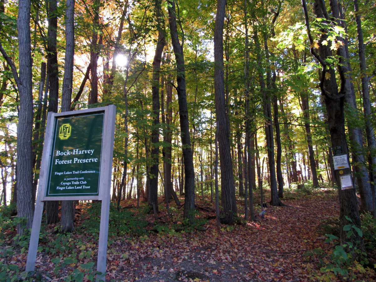
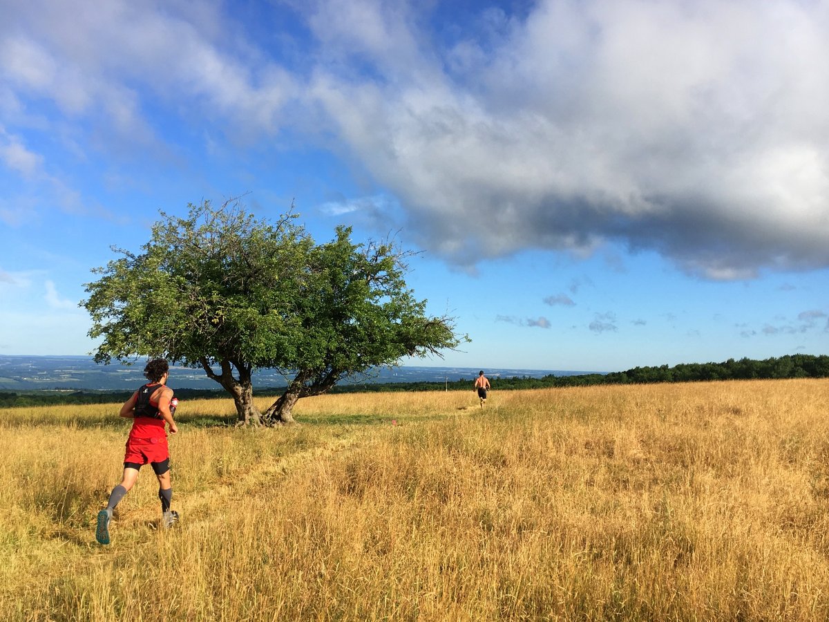
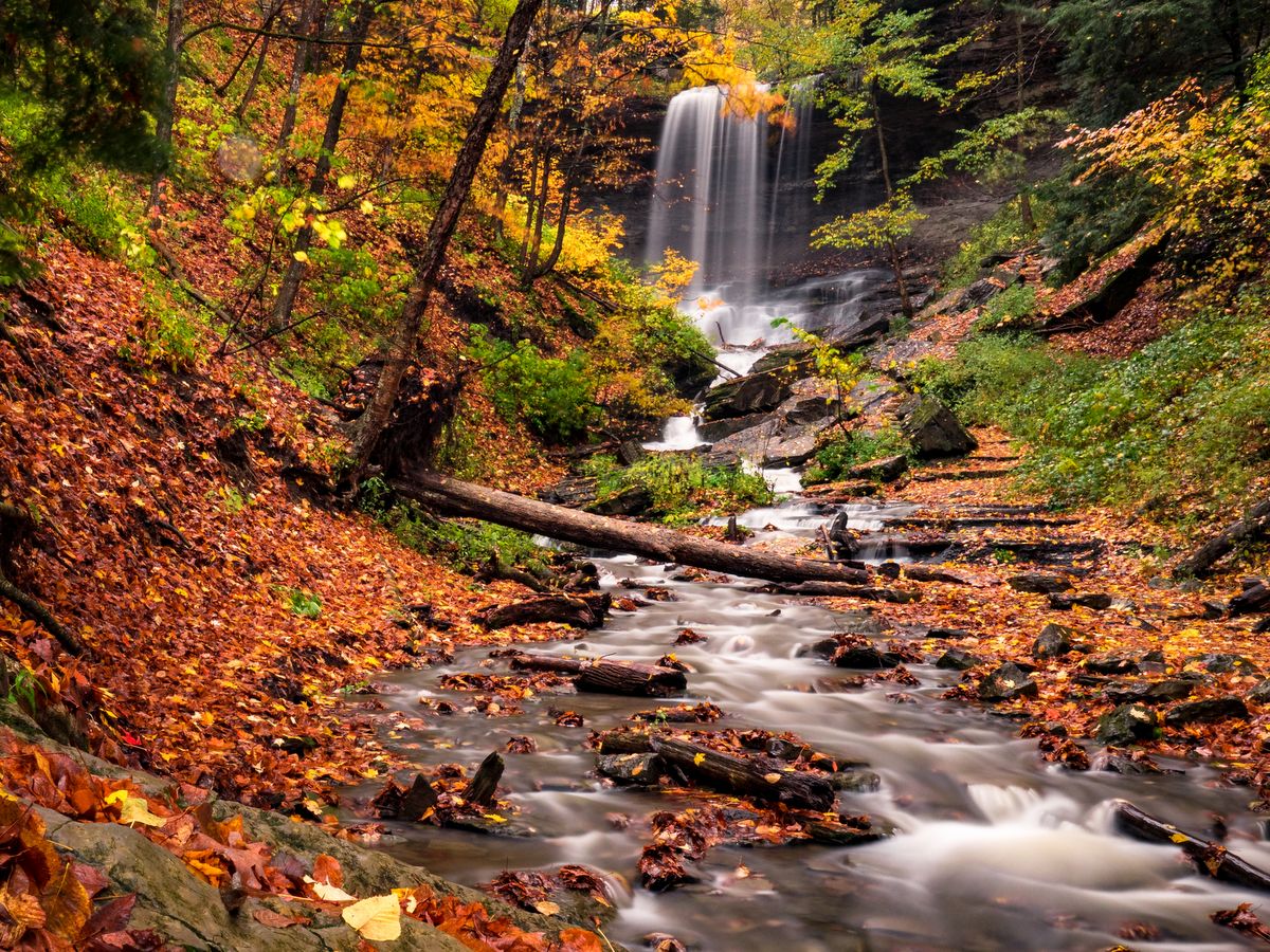
Bock-Harvey Forest Preserve
A highlight of the Finger Lakes Trail, this wooded 48-acre preserve offers ideal options for an easy walk or connection to a much longer, more challenging hike. Owned by the Finger Lakes Trail Conference subject to a conservation easement held by the Finger Lakes Land Trust, the Bock-Harvey Forest Preserve features some of our region’s oldest, most majestic trees.
Starting from the parking area on Rockwell Road, the FLT passes through a grove into a large meadow. At a fork in the trail, a yellow-blazed path leads to the “old-growth loop,” which passes by the preserve’s tallest maples, thought to be 300 years old. In the other direction, the trail leads to an overlook with views across Enfield Creek valley and then passes by a lean-to, fire pit, and picnic table perfect for camping.
Danby State Forest
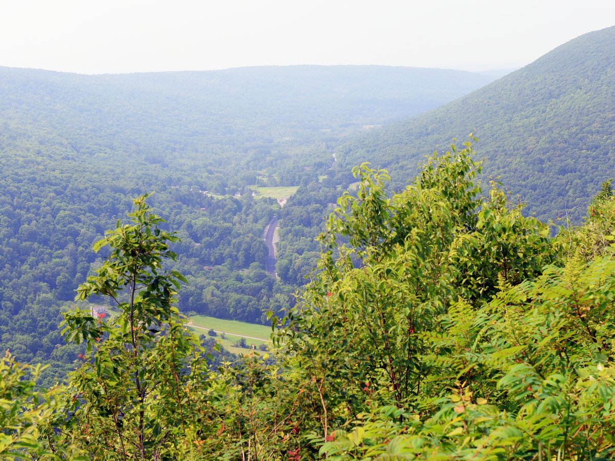
Hikers looking for a quiet and secluded setting need look no further than the roughly 8-mile Abbott Loop in Danby State Forest. Though the forest is relatively close to Ithaca — less than 10 miles — its 7,337 acres feel perfectly tranquil and the lengthy trail proves the old maxim that a little distance will ensure solitude along the trail. Additionally, in a region with so many out-and-back hikes, the loop configuration is greatly appreciated by those who dislike retracing their steps.
The trail weaves primarily through wooded glens with slow creeks and hilltop oak-hickory forests. Of particular interest along the loop is the trail leading hikers to a stunning lookout at Thatcher’s Pinnacles, found along the steep western edge of the forest. The forest is thinned here, and from the pinnacle you’ll find sweeping views of the Cayuga Inlet Valley and the Lindsay-Parsons Biodiversity Preserve of the Finger Lakes Land Trust.
Finger Lakes National Forest
The forest is home to over thirty miles of trails which have a mixture of uses ranging from hiking, mountain biking, skiing, snowshoeing, and horseback riding. The trails vary from roads and worn footpaths in the forest to sunken ruts or merely painted stones in the fields. Though a short portion of the Finger Lakes Trail (FLT) crosses the southern boundary of the forest, much of the trail system is closely tied to the twelve mile north-south oriented Interloken Trail — a branch trail along the FLT. The Interloken Trail forms the central axis through the forest while the other trails are either side loops or form parallel north-south oriented trails.
Wooded glens and open pastures comprise the majority of the landscape in the Finger Lakes National Forest. However, the pastures are what make these trails distinct from those in other forests. As is the case on many federally-owned lands, grazing is permitted. Hikers will find that they share the pastures with cattle during the months of May to October, and must use a series of locking cattle gates when venturing in and out of the fields. Aside from the oddity of bovine accompaniment, the pastures provide excellent vistas and habitat for a variety of grassland birds.
Gannett Hill Park
There are not many trails with broad scenic views in the Finger Lakes region, but the ones that do exist are high on the must-visit list. Among those trails with a view, the “Jump Off” overlook at Gannett Hill is one of the best. But the lookout is just the beginning of the activities available in the 400-acre county park. A vast network of trails, over 10 miles in total, weaves through the woodland and over steepened hillsides of the Bristol Valley.
Trails are laid out in different loops that occasionally connect. Each trail is well marked, has its own color, and also provides an indication of trail difficulty—difficulty being a measure of ruggedness and elevation change rather than distance. The trail network actually extends beyond the park boundaries along the Bristol Hills Trail, a spur of the Finger Lakes Trail. This branch trail snakes its way through several parks, state forests, and wildlife management areas. It totals roughly 55 miles from Gannett Hill in the north to the main Finger Lakes Trail in Mitchellsville to the south. The trails beyond the park boundary are for foot travel only, and you will certainly notice the change as access is through tight V-shaped structures that preclude anything but hikers from passing further.
High Tor Wildlife Management Area
Opportunities abound for all types of outdoor enthusiasts at the High Tor Wildlife Management Area (WMA). With ponds, waterfalls, rivers, gorges, forests, and open fields, there is an abundance of outdoor experiences waiting within the 6,315-acre wildlife management area.
There are over a dozen miles of hiking trails in the 3,400-acre upland portion of High Tor WMA, including the 4.8 mile High Tor Loop of the FLT. No matter which approach you choose to reach the upland site, the climbing is steep. But, once you reach the top, the hiking is fairly level. The trail network is a mixture of access roads and rugged worn footpaths that wind their way through open fields and dense woodlands with the occasional wooded glen and pond to spice up the experience. The trail system is also a part, albeit only a short section, of the more extensive Bristol Hill Trail, a branch trail of the FLT.
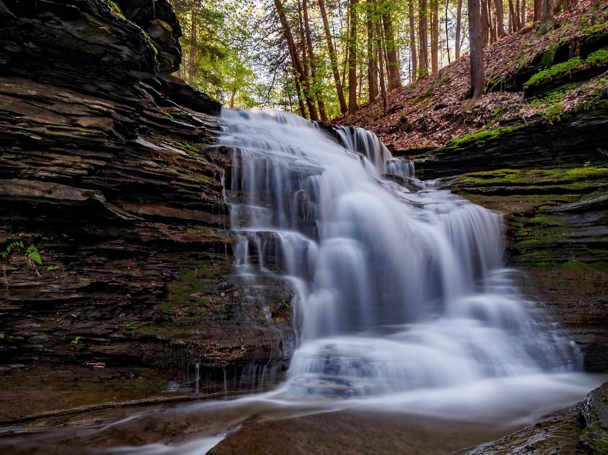
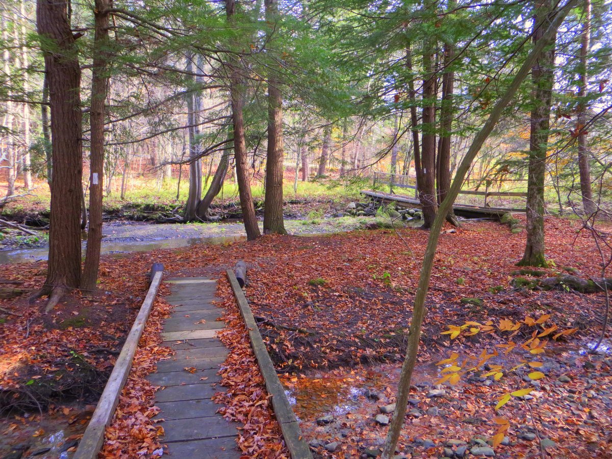
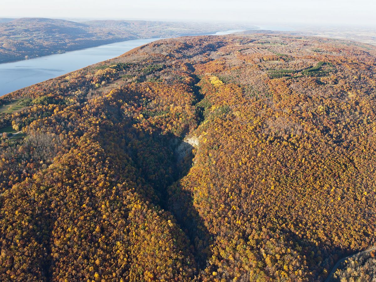
Lick Brook Gorge
During the last ice age, glaciers thousands of feet thick blanketed much of northern North America, sculpting the beautiful topography of the Finger Lakes region. The effects of these glaciers can be seen in the multiple waterfalls that splash down along Lick Brook on its journey to Cayuga Lake, including one that is nearly 140 feet tall. The Finger Lakes Land Trust’s Lick Brook Gorge preserve hosts a popular stretch of the Finger Lakes Trail that runs along the gorge. Ambitious hikers can continue along the trail to Buttermilk Falls State Park to the east and Robert H. Treman State Park to the west.
Morgan Hill State Forest and Labrador Hollow Unique Area
Morgan Hill State Forest and Labrador Hollow Unique Area are often referred to as one and the same, and to a certain extent it is true. They are, for the most part, contiguous parcels and are connected by the North Country Trail.
The best trips to the area include both locations and combine the striking scenery from Labrador Hollow (including a 100-acre glacial lake) with the rugged wildness of Morgan Hill. However, Morgan Hill remains the destination of choice for more serious hikers, backpackers, and those who want an extra challenge. The rugged trails feature some higher levels of difficulty along lengthy rising and falling treks which experienced hikers will cherish. Since the trails to Tinker Falls and the Jones Hill hang glider launch at Labrador Hollow are the most popular and farthest many visitors travel, hikers that delve into Morgan Hill will be rewarded not only with a deep forest setting, but solitude as well.
Find more hikes – see the map!
You can learn more about these and other great places to hike on the Go Finger Lakes interactive map. We also encourage you to visit the Finger Lakes Trail Conference (FLTC) web site and volunteer to keep the trail beautiful; see their site for maps and tools.
Portions of this article also appeared in Life in the Finger Lakes magazine.
Learn More
Conservation
Recreation
Share This