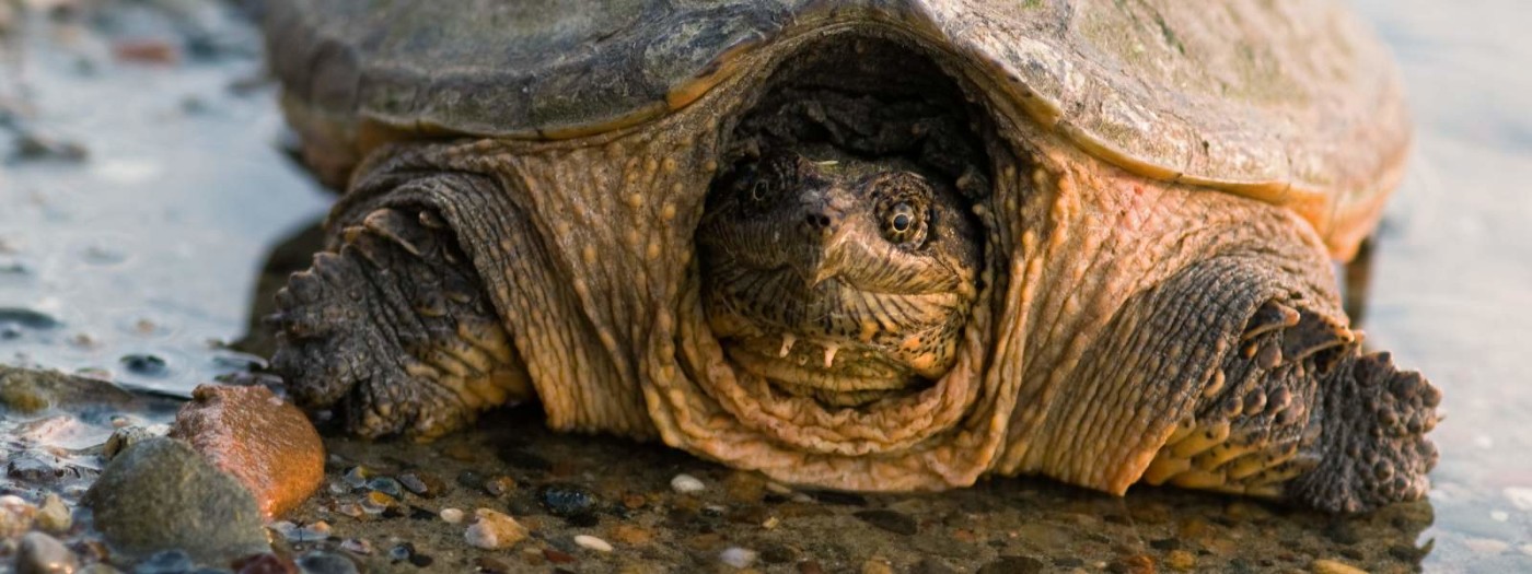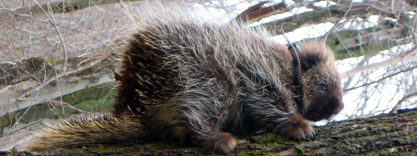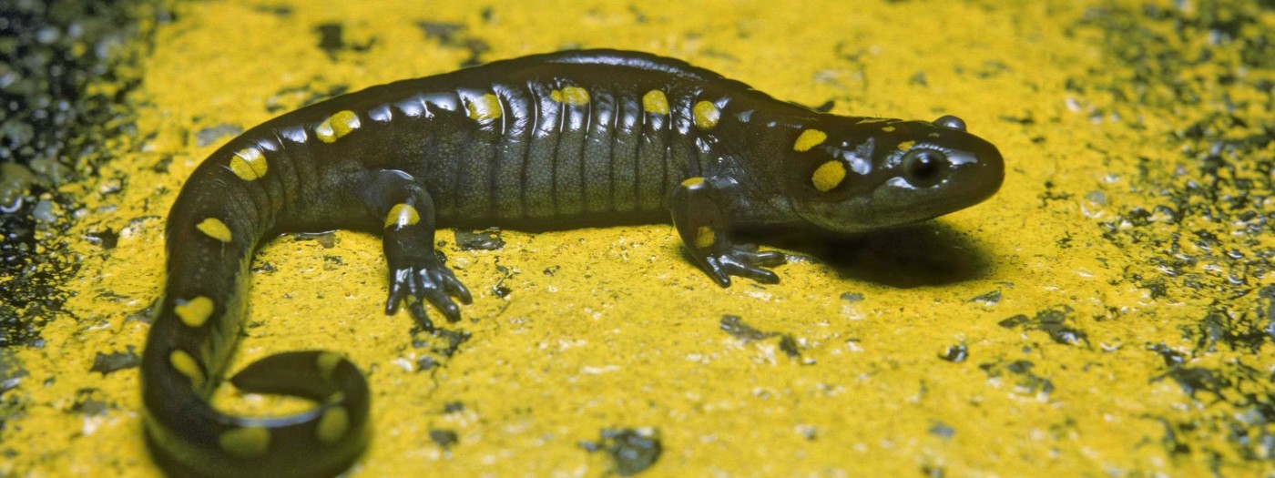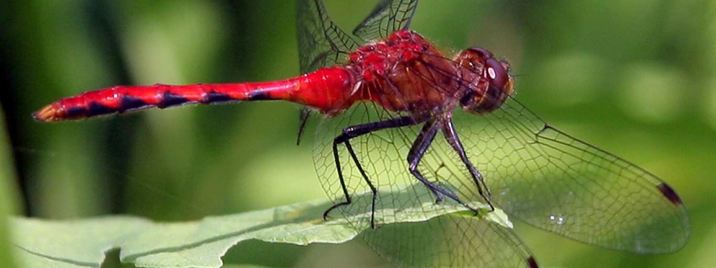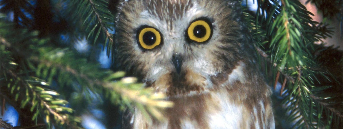
Animals and Plants of the Finger Lakes
The Wild Turkey
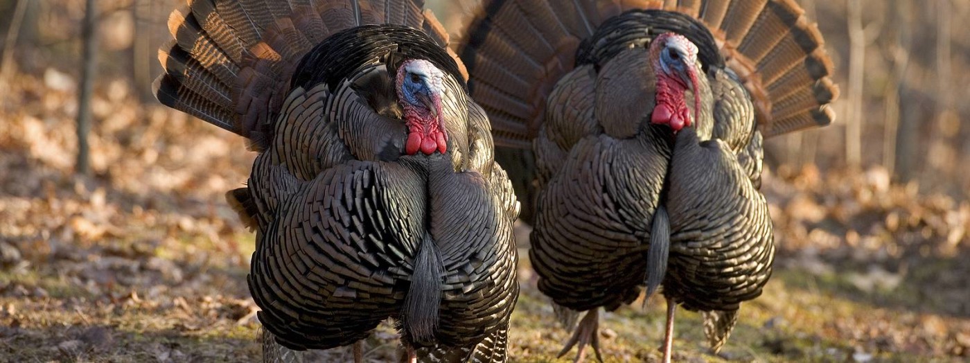
Thanksgiving Dinner or Courageous American Icon? The Wild Turkey (Meleagris gallopavo) is surely the most American of birds. Both a totem animal and a major source of protein for many native North Americans, it gave the Europeans a foothold in the New World and has become synonymous with Thanksgiving.
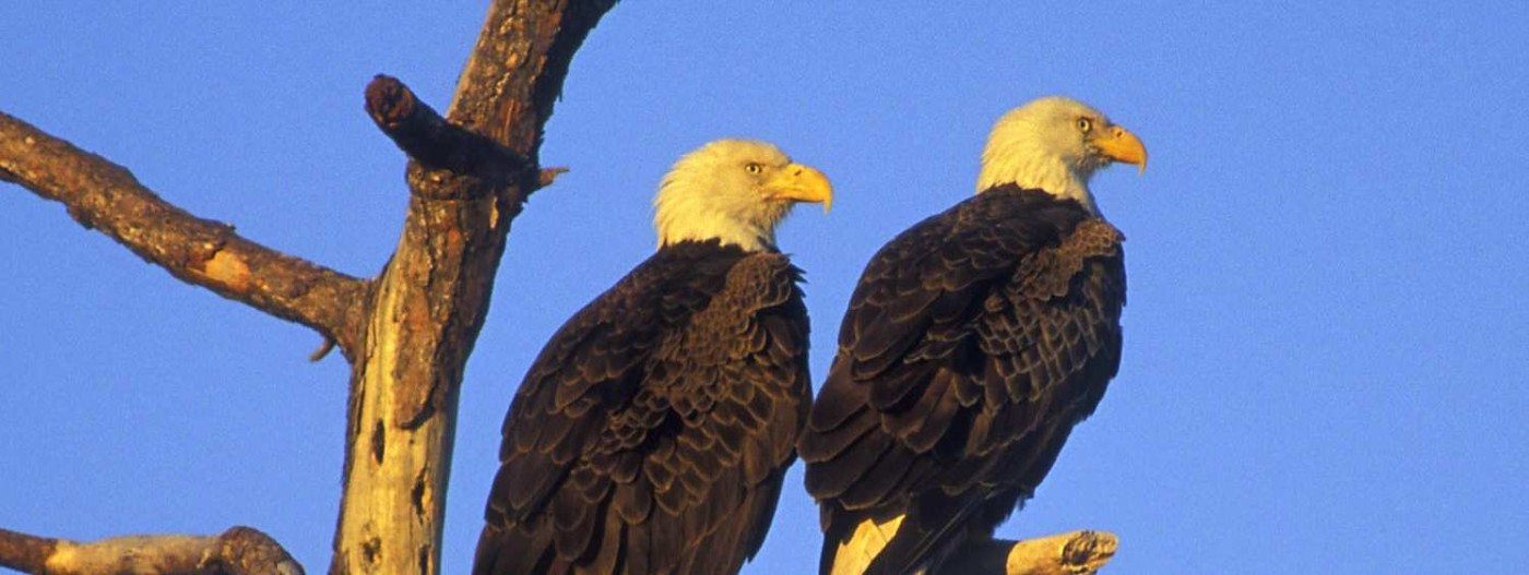
No less a luminary than Benjamin Franklin praised its courage – much greater, he thought, than that of the Bald Eagle. The natural history of the turkey is intimately intertwined with human history. The subspecies found in the eastern United States (M. g. silvestris) was hunted by native tribes, who used fire to create the patchwork of mature forest, young forest, and meadows that turkeys prefer. Another subspecies, now assumed extinct, was domesticated in pre-Columbian Mesoamerica; a third was domesticated in the Southwest.

When this newfangled bird was brought back to England, it was called a “turkie,” perhaps in reference to its supposed “Eastern” origins. (In many European languages – including, ironically, Turkish – the word for “turkey” is related to the word for “India.”) About a century after this domesticated fowl was brought to Spain by the conquistadors, it was brought back to America by the Pilgrims.
The Wild Turkey has certain biological quirks that allow it to live closely with humans but which sometimes bring it into conflict with people. It does not defend a home territory against others of its own kind; rather, it lives in relatively large flocks organized by a strict pecking order. Furthermore, it seems to readily accept people into this order, assigning each human a “gender” and a place in the hierarchy. A turkey may therefore behave submissively, aggressively, or even seductively toward people, depending on how they are perceived.
Turkey aggression can be rather frightening: a male, known as a “tom” or “gobbler,” can be up to 25 pounds and four feet long and, as Ben Franklin noted, seems to have no fear. Gobblers acclimated to people may behave quite differently than those in the wild. Although birds in the rural Finger Lakes seem to be a pretty docile bunch, it is prudent to minimize human-turkey conflicts by never giving the birds access to food (including spilled birdseed) and making sure that you and your neighbors always assert your dominance.
Turkeys have contributed greatly to human welfare, though the reverse has not always been true. The five subspecies of Wild Turkey originally ranged over most of what is now the continental United States, but their populations were devastated by overhunting and the wholesale conversion of forest into farmland; they disappeared from New York by the 1840s. However, the tide began to turn in the early 20th century, when many farms in the Northeast were abandoned and reverted to forest.
Around 1948, a population crossed into western New York. In 1959, some of those birds were trapped and released in other parts of the state. Today, there are estimated to be ten times as many Wild Turkeys in New York as there once were in the entire country.
Paradoxically, the same changes that brought the Wild Turkey back are also contributing to a recent decline in its numbers. Turkeys spend most of the year in hardwood forests, where they feed on acorns, seeds, fruits, roots, grasses, and invertebrates. However, since the turkey nest is little more than a hole scratched in the ground and the poults have no defenses against predators, hens prefer to lay their eggs and raise their young in areas with dense ground cover; adults often use the same areas to hide from predators, including hunters. As the forests of the Northeast mature, they contain ever fewer hiding places. The recent cold, rainy springs have also been hard on turkeys. Poults sometimes succumb to the weather; additionally, when they are wet, they emit an odor that makes it easier for predators to find them.
The turkey gets an undeservedly bad rap. In common parlance, “turkey” means “a fool” or “a failure.” It’s true that the barnyard turkey is rather awkward and self-important, but its indigenous cousin is a very different bird. It is well-known to hunters as a worthy adversary, swift, elusive, and crafty. It is also surprisingly beautiful, with iridescent feathers and a head covered with fantastic crenellations of bright-colored flesh. We should give thanks for Ben Franklin’s “true original Native of America,” without which we would not be where we are today.
This story by Jacqueline Stuhmiller first appeared in our newsletter, The Land Steward, as part of the Closer Look series about plants and animals of the Finger Lakes region.
Learn More
Conservation
Recreation
Share This