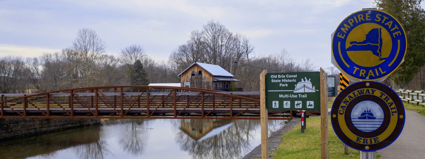
Share This Location


When the Erie Canal first connected towns and villages across Upstate New York, the distances between were often vast; most of the canal cut through what was considered wilderness. These were the early phases of course, because as the “Mother of Cities,” the Erie Canal set off a population explosion as villages, towns, and cities sprung up in a matter of decades. It was considered the superhighway of the day and people predicted an equivalent of modern urban sprawl along its banks.
Nathaniel Hawthorne wrote of the canal’s effect on population in The Canal Boat describing his journeys along the canal in 1835:
Surely, the water of this canal must be the most fertilizing of all fluids; for it causes towns—with their masses of brick and stone, their churches and theatres, their business and hubbub, their luxury and refinement, their gay dames and polished citizens—to spring up, till, in time, the wondrous stream may flow between two continuous lines of buildings, through one thronged street, from Buffalo to Albany.
In a sense it is true—80% of Upstate New York’s population lives within 25 miles of the canal. But at the Old Erie Canal State Historic Park, the canal is preserved in its earlier form and provides a glimpse of what those earlier, more remote experiences might have been like.
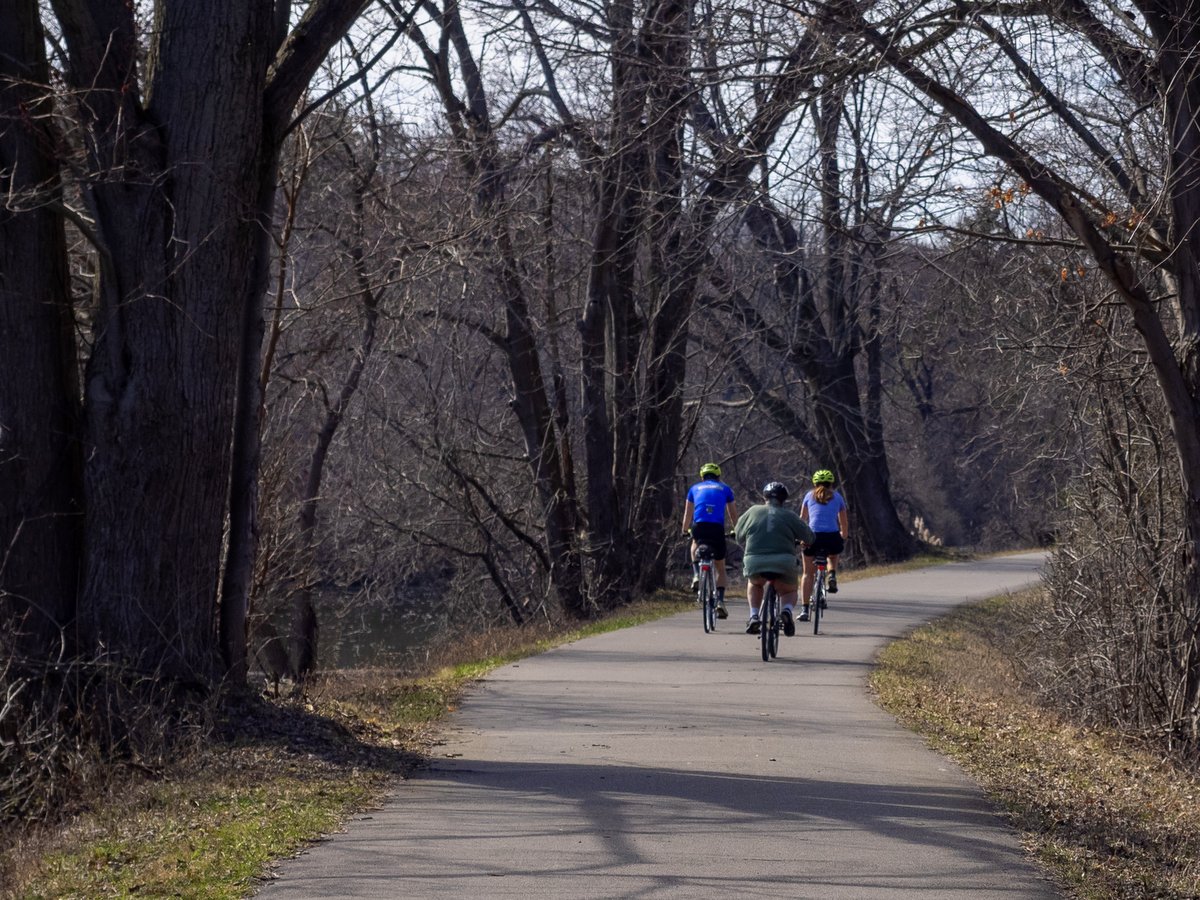
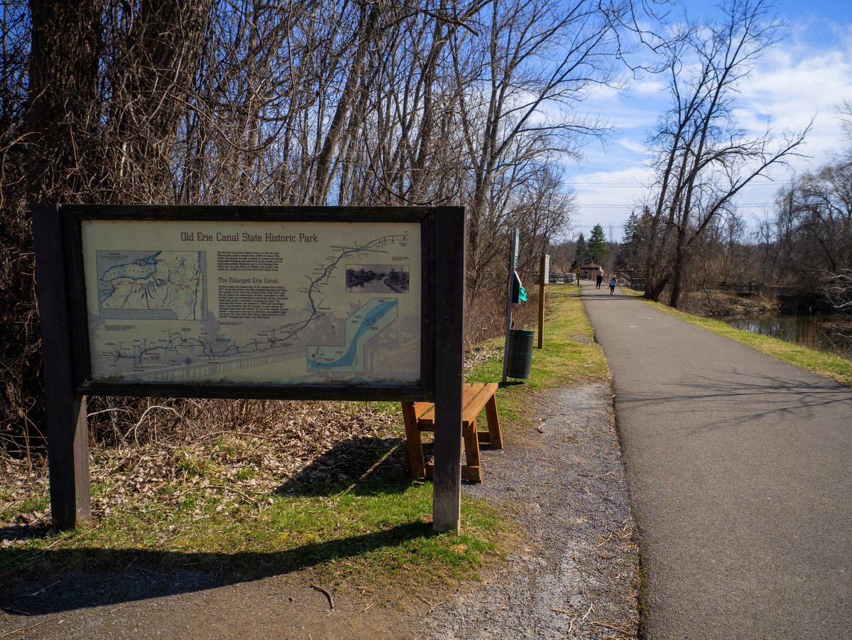
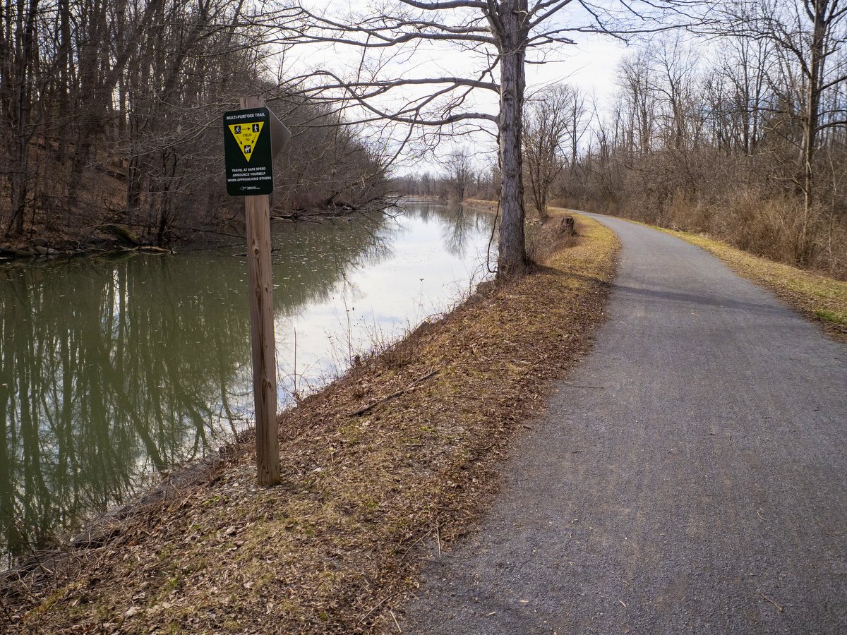
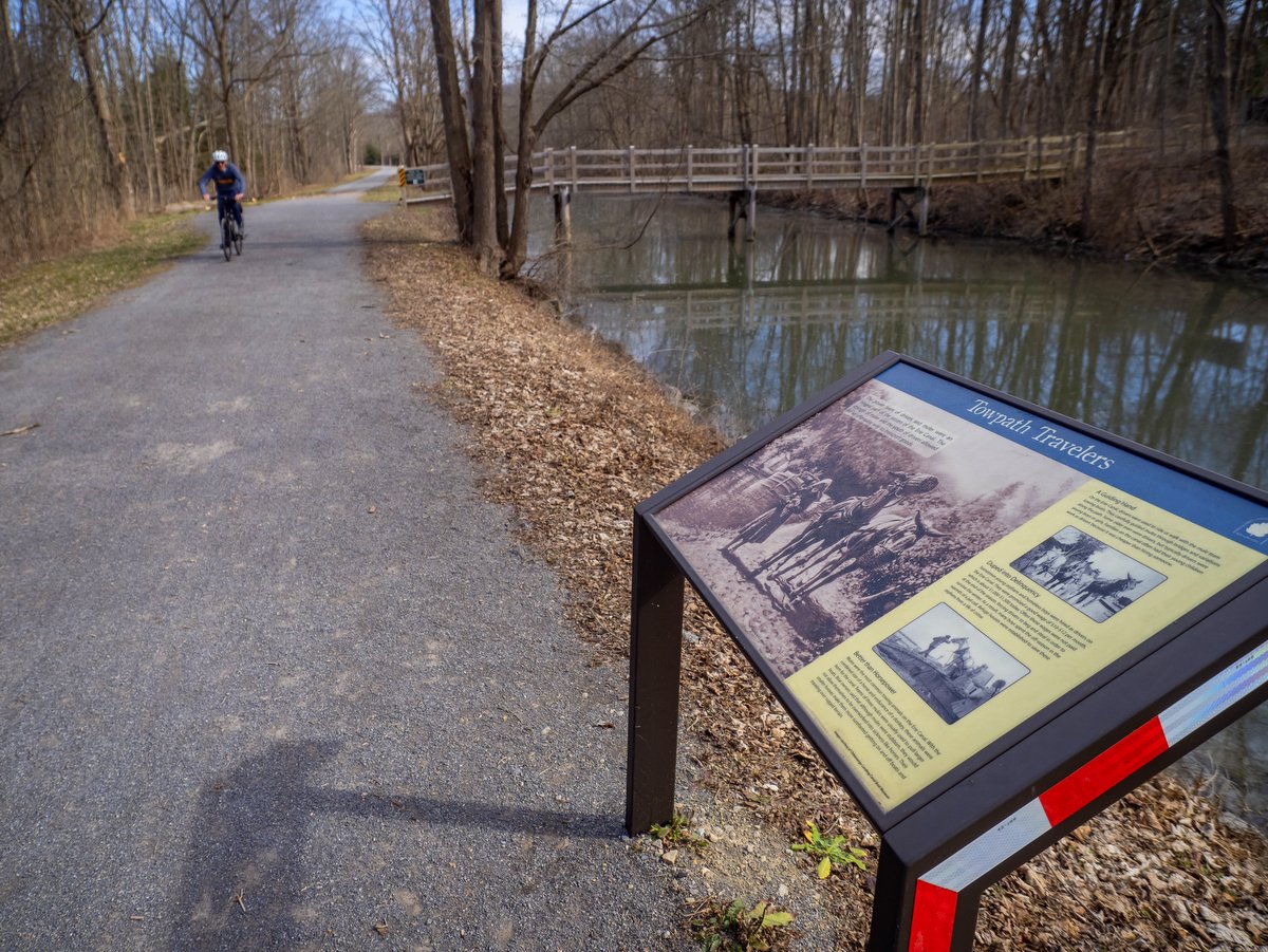
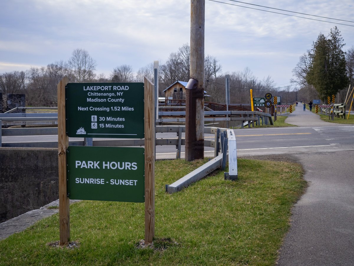
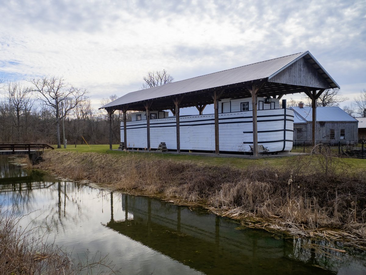
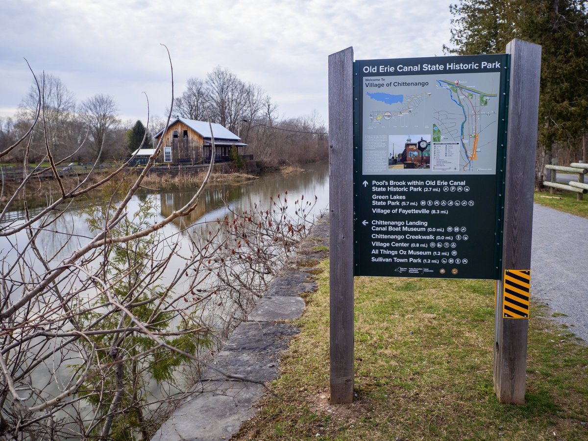
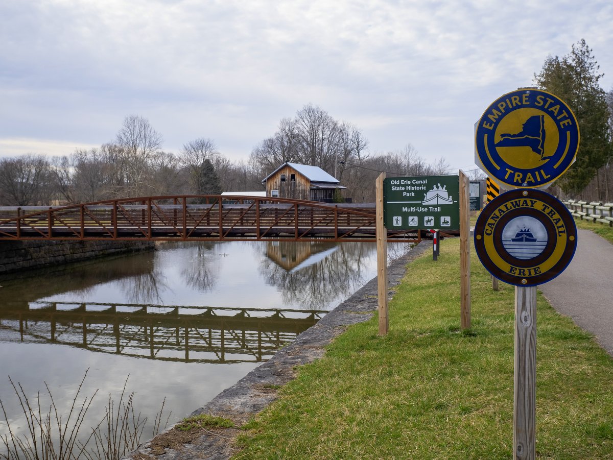
From Dewitt to Chittenango, 11.5 miles within the park encompass a small percentage of the 363-mile-long Empire State Trail. It is a thin corridor that follows the enlarged canal route from its western terminus at Butternut Creek in Dewitt to the Chittenango Landing Canal Boat Museum. And though the canal still connects and weaves its way through the local communities, it is a step removed—always within earshot but not always visible. The towpath is mostly shrouded in trees and separated from the surrounding farms and housing developments by a narrow buffer of wetlands and forest. The canal widens in many areas to take on more natural contours, enhancing the lazy placidity of the water.
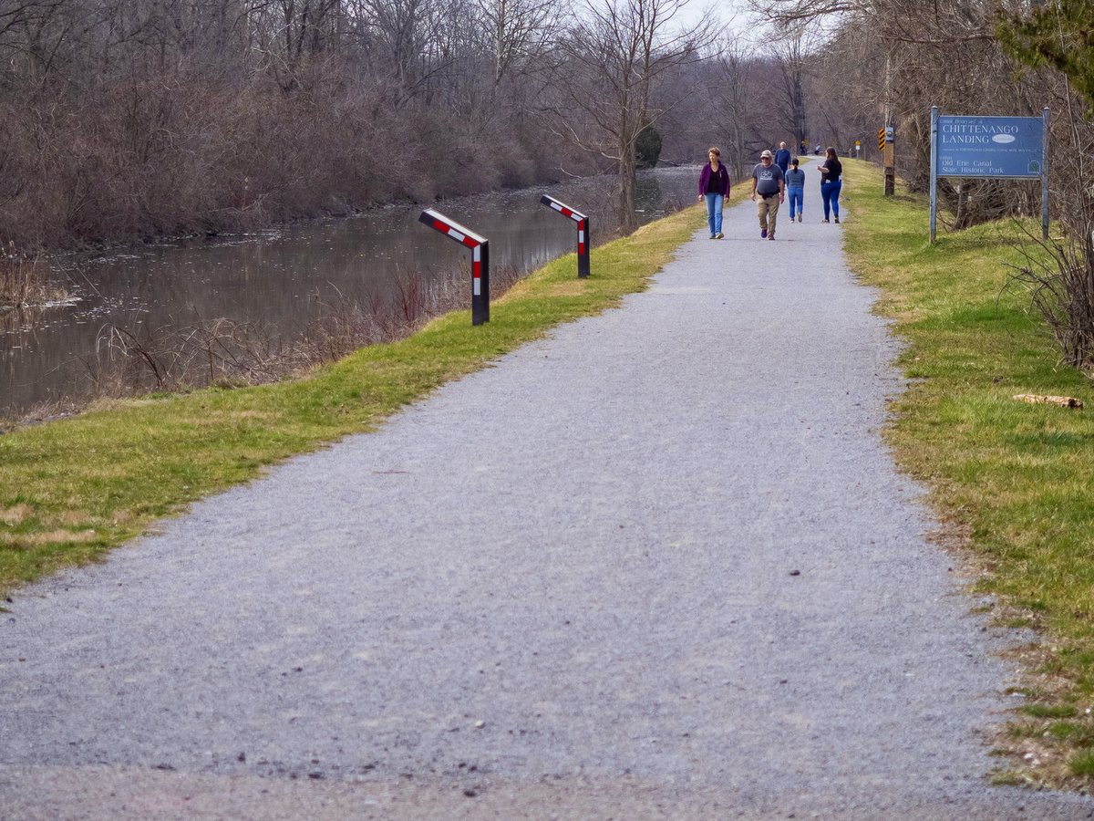
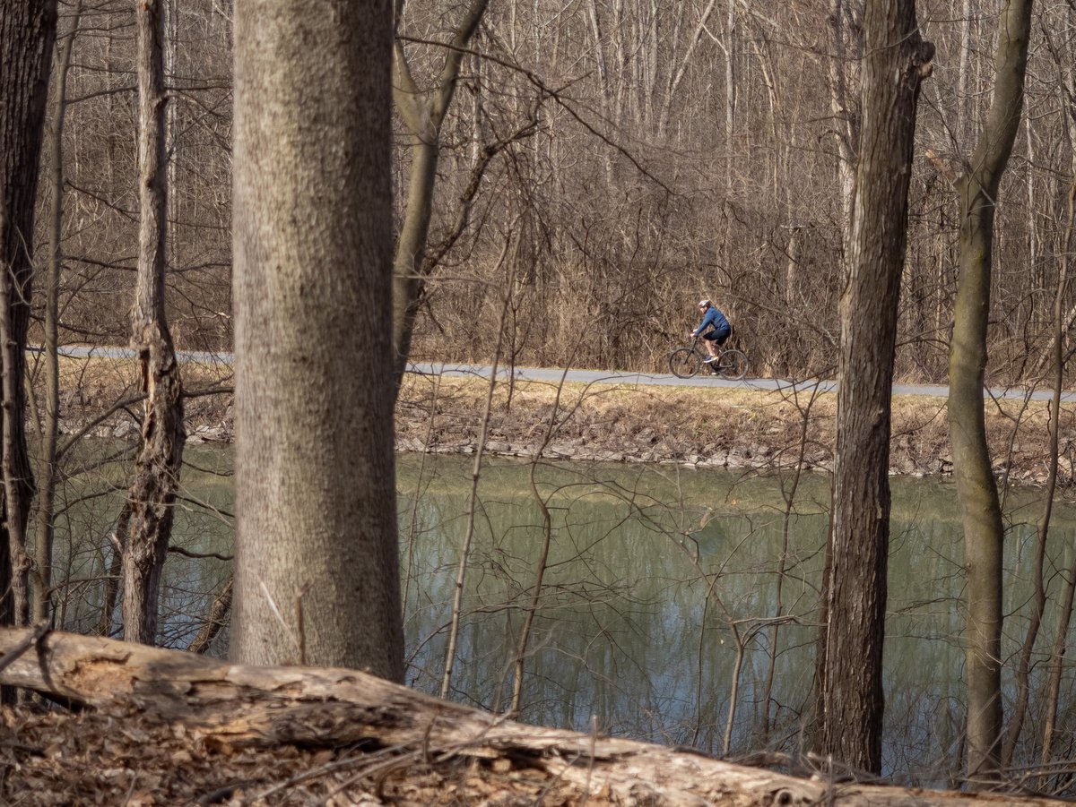
The intersections between roads are well-spaced, and the entirely off-road towpath is mostly stone dust with some paved sections. The even terrain is easy-going and it’s no wonder why cyclists, joggers, and walkers are almost always present. Despite being quite popular, the visitors are well-spaced and often you will find yourself alone. On quiet days, even the sound of nearby traffic is absent and there is a stillness that pervades the atmosphere. All these elements combine to help create the illusion of stepping back to a simpler age when manual labor and horsepower ruled the day (not even bicycles existed when the canal was dug).
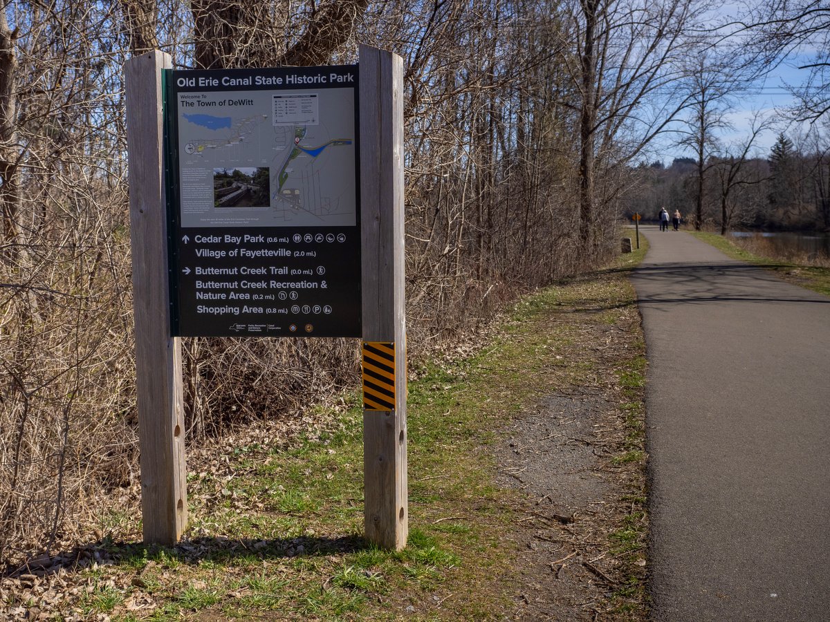
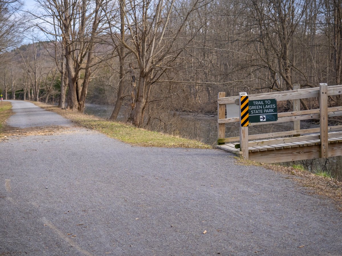
Along this stretch, it is more pragmatic to plan a picnic than a run into town. Fortunately, there are many quiet local parks connecting to the canal along this stretch with picnic tables and occasional pavilions. But should the desire or need arise, there are several communities connected to Historic Erie Canal Park by spur trails such as the Butternut Creek Recreation and Nature Trail to Dewitt, the Fayetteville Feeder Towpath to Fayetteville, and the Chittenango Creek Walk to Chittenango. And of course, it passes by a can’t-miss Finger Lakes gem: Green Lakes State Park. The trail is well-marked with signs that indicate the distance by foot and bike to these nearby places of interest.
Part of why this section of the canal feels more remote is because it was abandoned after the third stage of the canal’s development. The Erie Canal’s history can be broken into three construction phases: the original canal (1817-1825), the enlarged canal (1836-1862), and the Barge Canal (1905 – 1918). The Barge Canal abandoned much of the canal’s original infrastructure in favor of “canalized” rivers and channels. This original section of the canal was in use from 1825 to 1917, after which it functioned as a feeder to maintain water levels in the Barge Canal. As such, the canal’s depth is limited to seven feet and you won’t see motor boats, but canoes and kayaks are certainly present with several car-top launches at many of the adjoining parking areas.
The Erie Canal was often called the “Eighth Engineering Wonder of the World,” which is an even more impressive moniker when considering that no American engineers existed at the time. And no European engineers would sign on to a plan that Thomas Jefferson deemed “a little short of madness.” So, the engineers and designers of the project would have to be created on the job, learn their trade from hands-on experience, and invent the techniques as they went. The construction of the canal became known as the “first American school of engineering,” aka the “Erie School of Engineering.” Given the total lack of experience and the fact the entire canal was dug with manual or animal labor, it is even more astonishing that the project took less than 8 years and paid for its whopping seven-million-dollar (not adjusted) cost in less than 10 years.
The prospect of cutting a four-foot-deep, 40-foot-wide canal across 363 miles presented staggering engineering problems. But one reason it was even conceived as possible was due to the long and relatively flat sections of landscape across much of Upstate New York. A purely logical approach to such a project would propose that the digging begin at either or both ends (either at Lake Erie in Buffalo or at the Hudson River in Albany). But this approach was part of why the initial idea was rejected as the ends were the hardest parts to accomplish. Instead, they began in Rome, roughly the center point, because the landscape was essentially flat and they could make fast progress. And so they began work in 1817 on the “Long Level,” a 98-mile section first connecting Rome to Utica and then Syracuse in 1819.
And what made the “Long Level” or even the possibility of a canal? Well, that which connects all the natural beauty of the Finger Lakes and Upstate New York, the Ice Age. The mile-high ice sheets scoured the region flat and provided the only practical breach through the Appalachian Mountains that hemmed in the East Coast. So again, credit the ice sheets for all of the Finger Lakes’ natural beauty but also for laying the groundwork for the canal and its effects on US history.
While traveling beside the Old Erie Canal, it is interesting to reflect on the fleeting nature of current construction projects. The machinery and materials used today are the stuff of canal builders’ wildest dreams. Large malls and shopping plazas pop up only to be replaced multiple times within our lifetimes. And yet a canal, dug mostly by manual labor, has persisted for over two centuries and still connects communities across the Empire State.