Share This Location


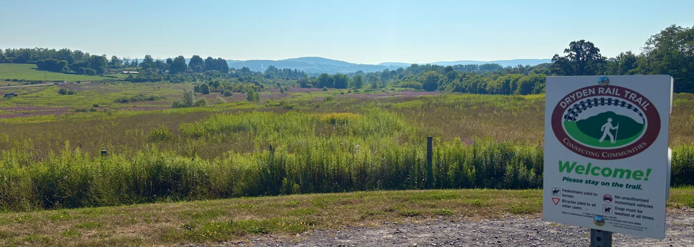
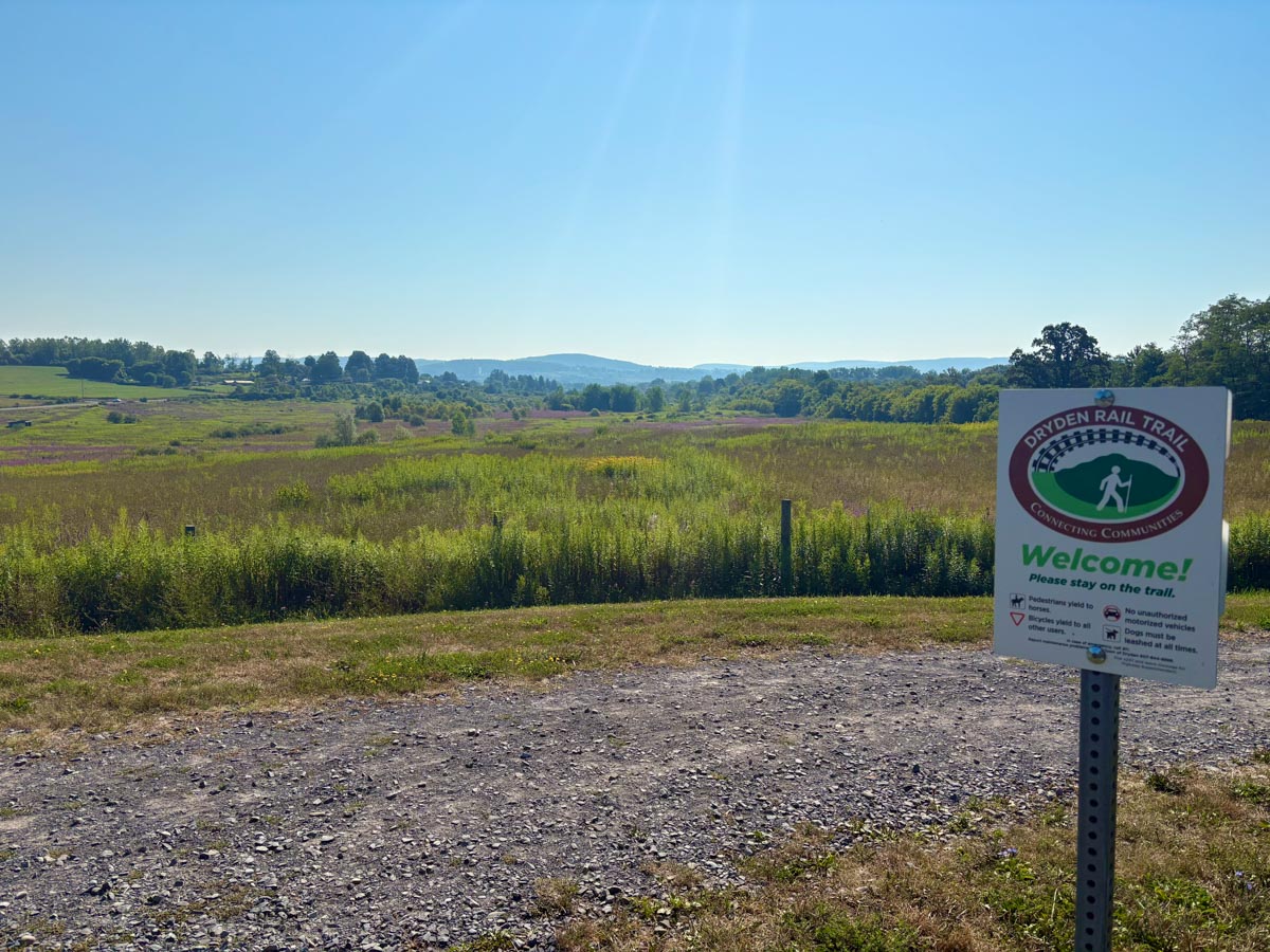
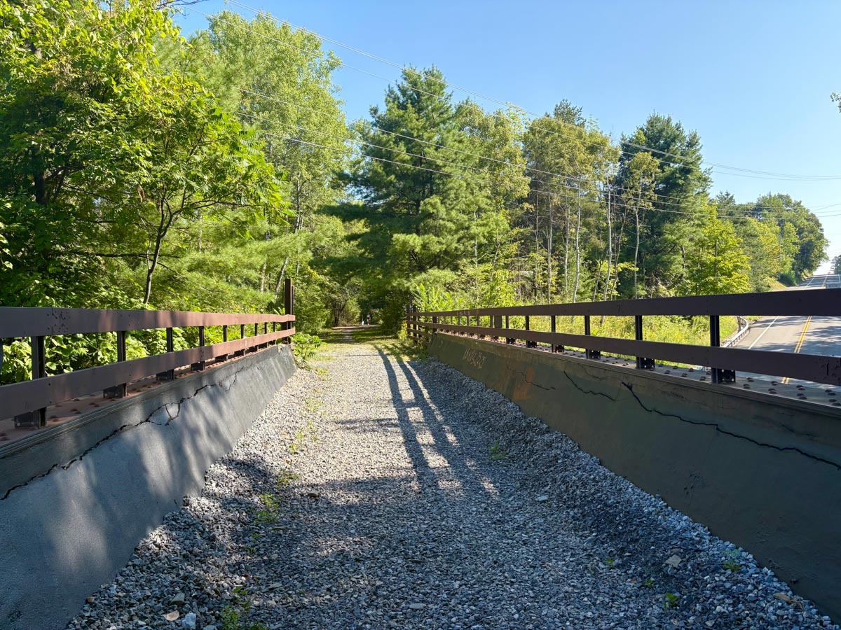
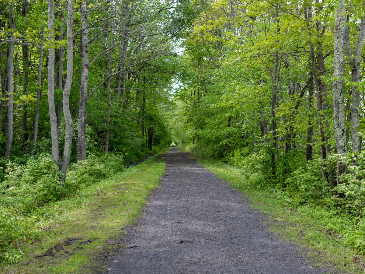
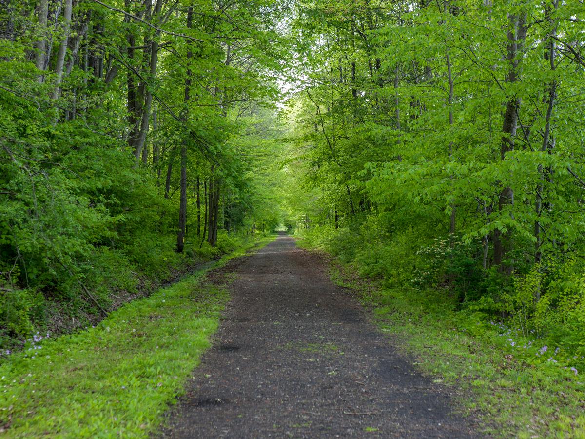
Once a branch of the Lehigh Valley Railroad system, the Dryden Rail Trail is an excellent example of repurposing abandoned rail lines into multi-use trails. Passing through a variety of urban and rural settings, hikers, cyclists, runners, and equestrians all share the broad and flat trail in summer, while snowshoers and cross-country skiers take over in the winter.
Currently at 10 miles, the trail will encompass 14 miles when complete, linking Dryden to Ithaca, connecting to the East Hill Recreation Way near Cornell University campus. At this time, visitors can enjoy two main sections: the southeast end of the Jim Schug Trail to Freeville and from Route 13 near the intersection with Route 366 to Game Farm Road.

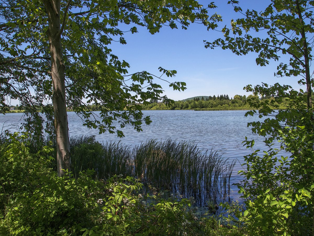
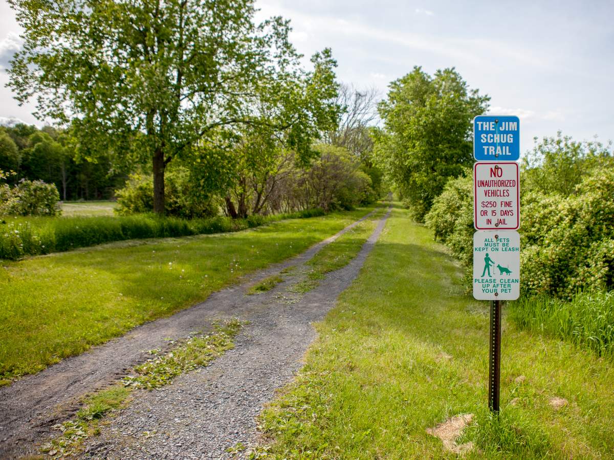
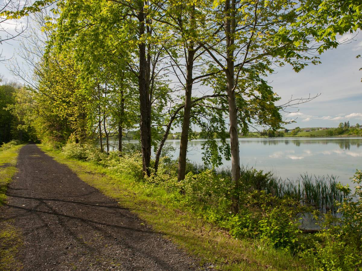
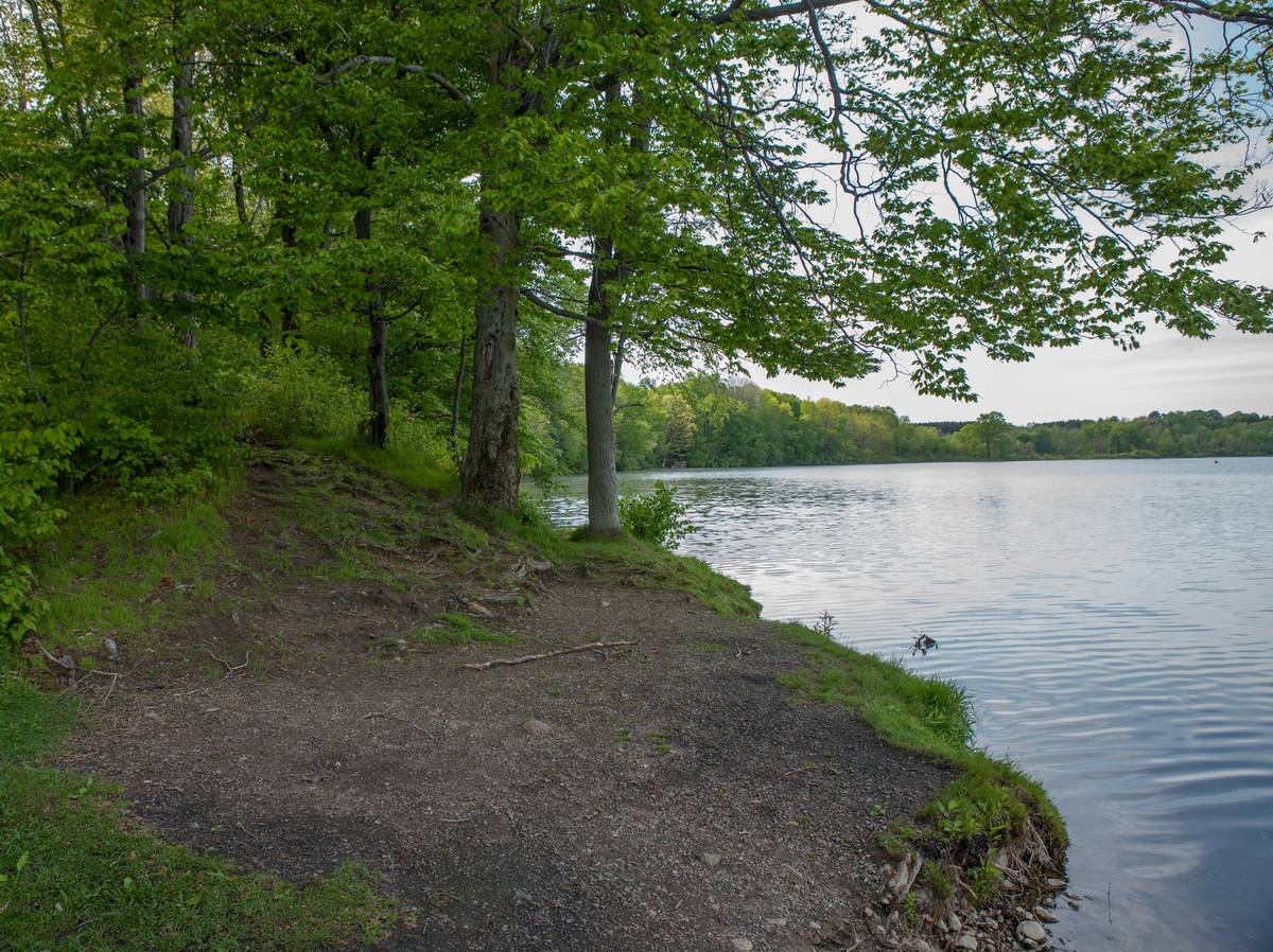
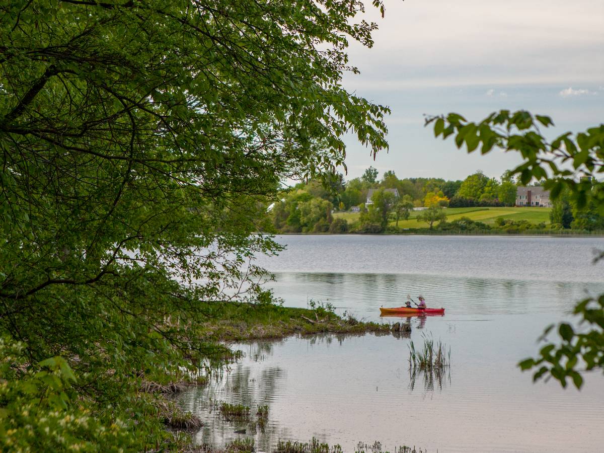
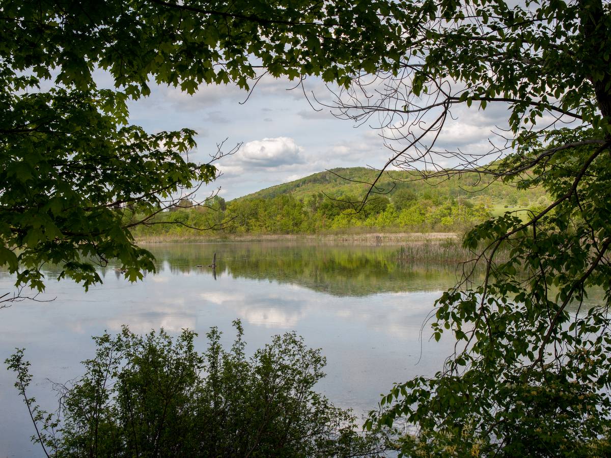
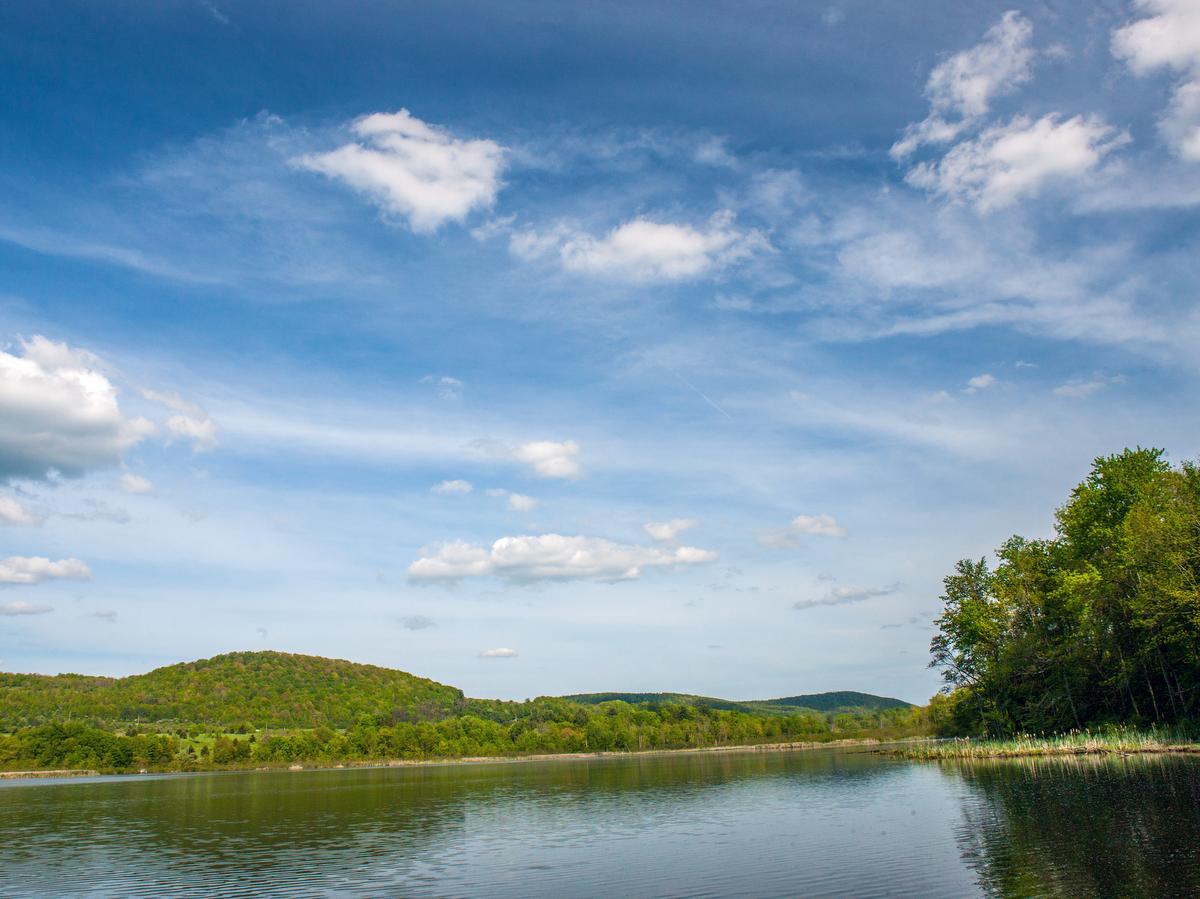
Nature lovers will enjoy the Jim Schug Trail, flanked by swamps, wetlands, and ponds, with the more remote and wild portions bordering Dryden Lake Park to the north and south. Currently 4.2 miles long, there are plans to extend the trail another 3.3 miles.
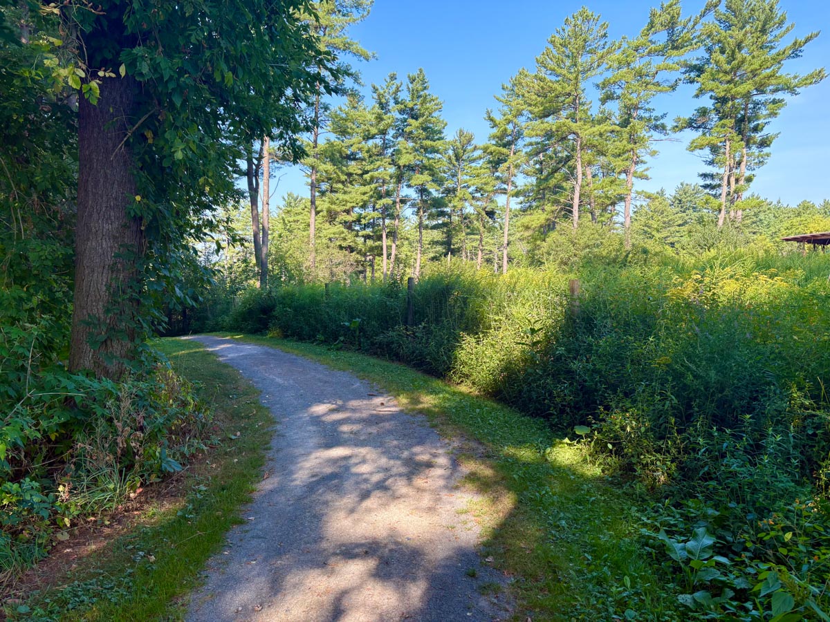
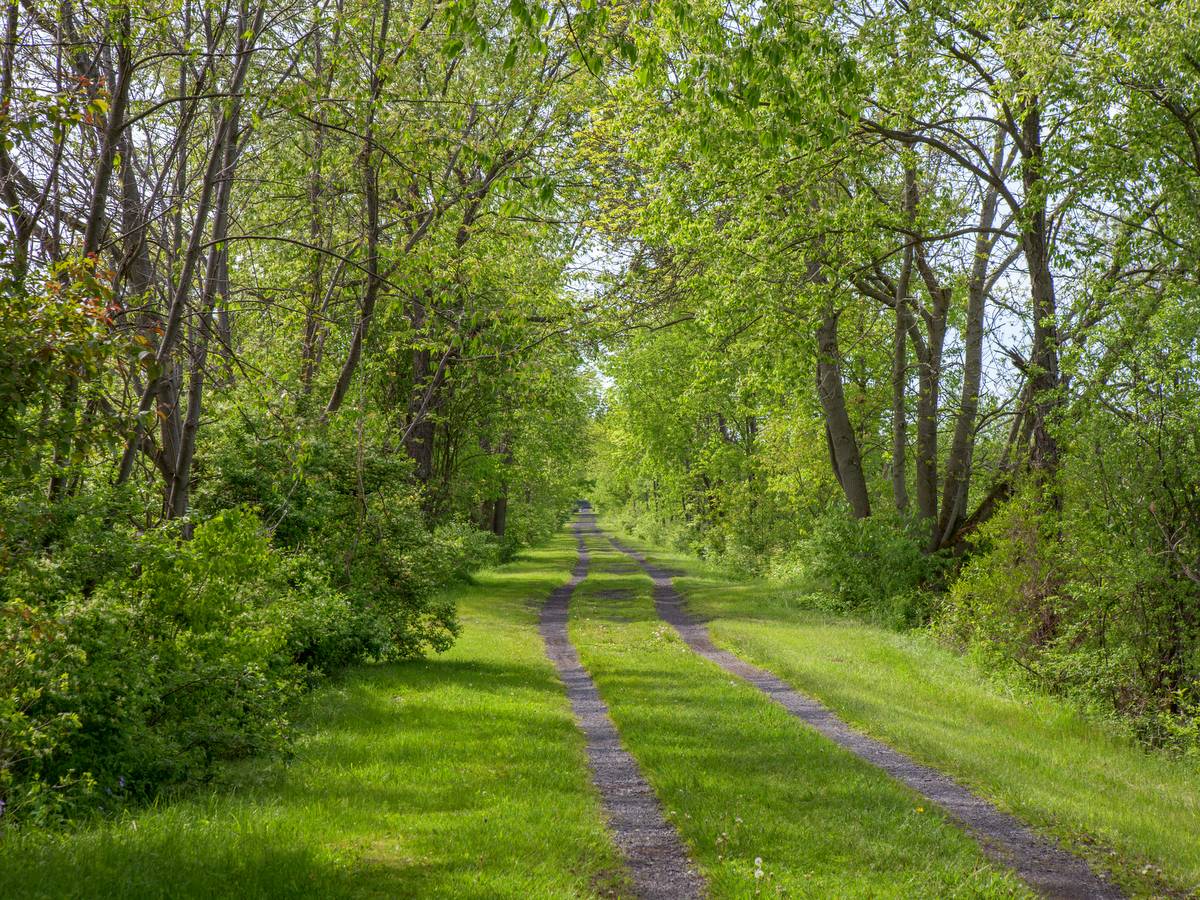
Originally known as the Dryden Lake Trail, it was later renamed in honor of the highway superintendent who strongly advocated for its creation. The trail weaves its way from Main Street in Dryden through Dryden Lake Park and ends near an intersection with the Finger Lakes Trail on East Lake Road. The trailhead in Dryden extends into a tree-lined alley and progresses from suburban to wild to park to wild again.
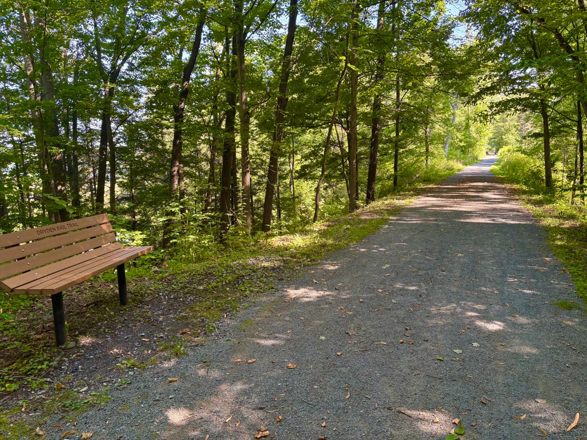
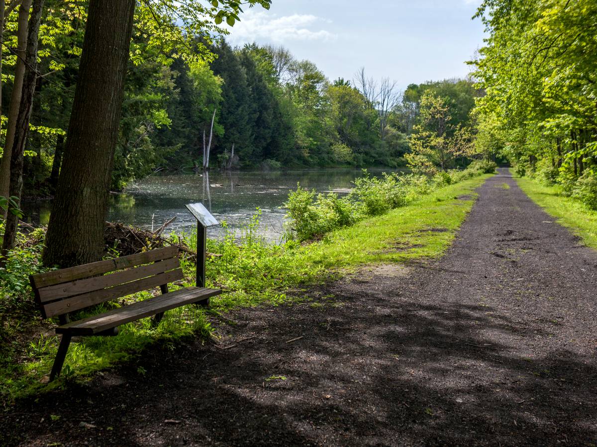
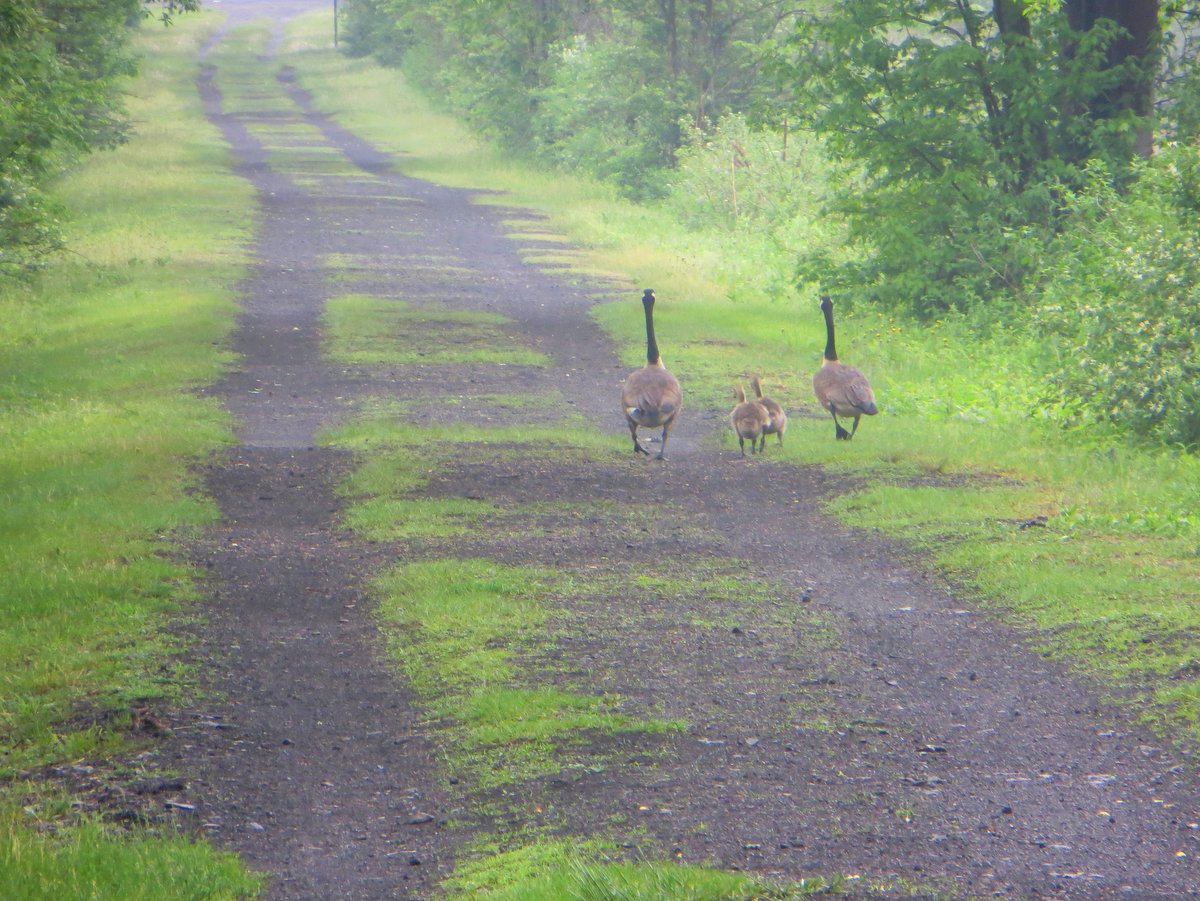
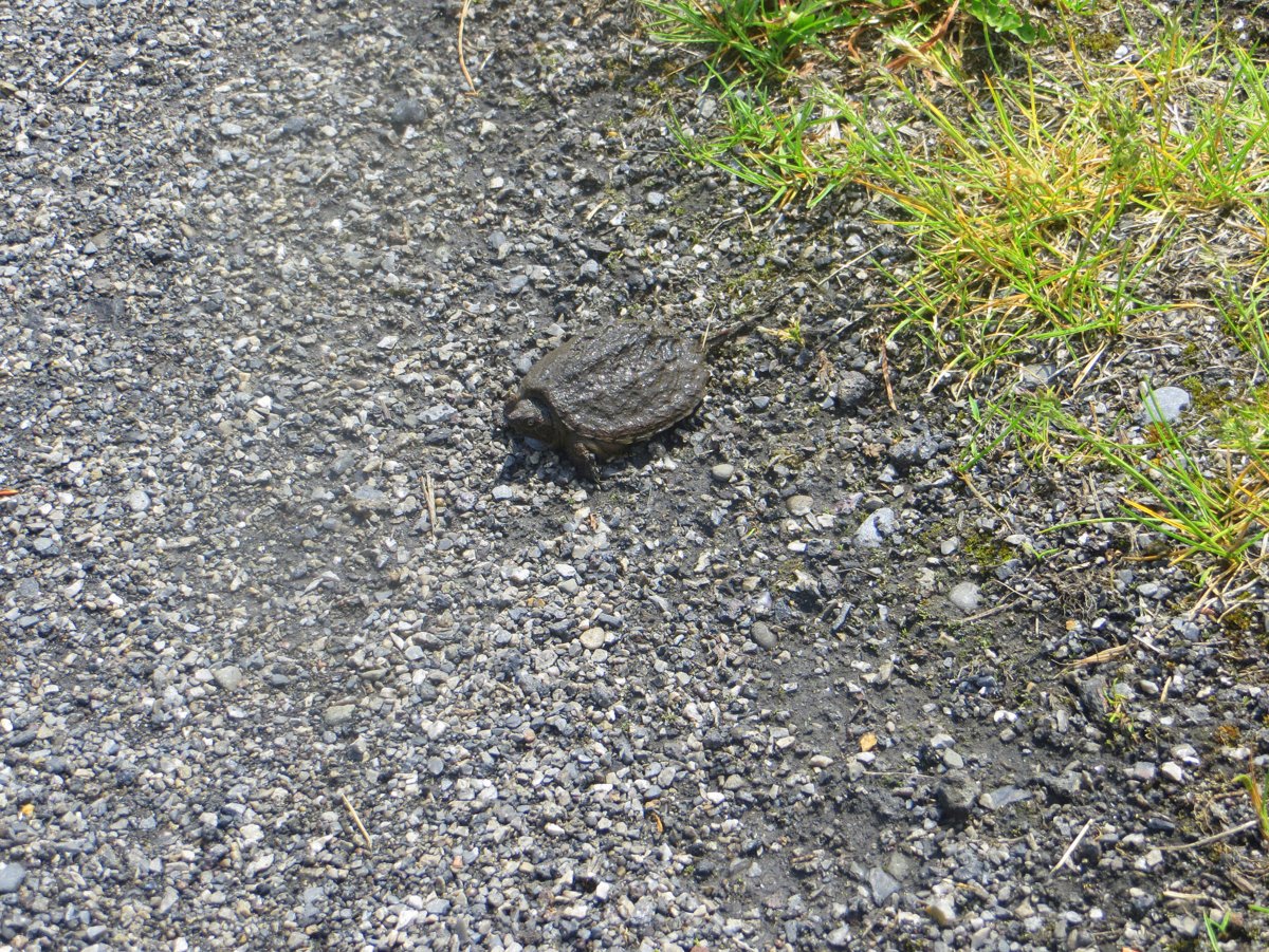
Past the intersection with Rte. 38, the old rail bed is flanked on either side by wetlands. Cyclists will appreciate the obstruction-free path allowing them to coast along the flat terrain taking in the sights and excellent birding. But keep an eye out for slow crossing turtles and an abundance of amphibians that wander across the stone dust path. Walkers, at their slower pace, will have greater opportunities to see wildlife in the swamps and marshes. Benches are located every half-mile along the trail, which are not only appreciated for the opportunity to relax in the tranquil setting, but also as a reliable and quick gauge of progress. The benches are frequently accompanied with information placards describing the surrounding environment or abundant wildlife to see nearby.
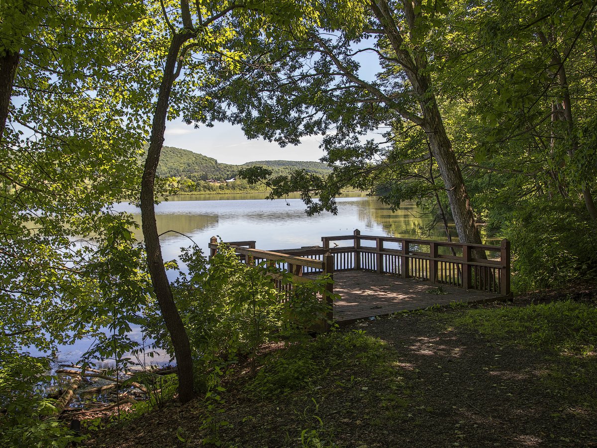
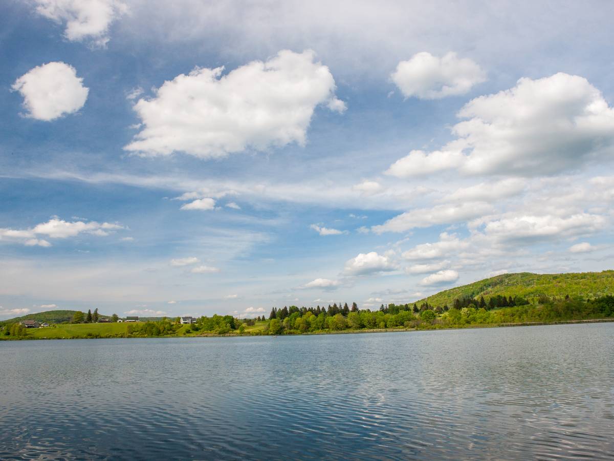
Parking is available near the start in Dryden, at every location where the trail intersects a road, and there is ample free parking in Dryden Lake Park. The Park has exceptional fishing (including wheelchair-accessible fishing docks) and is also a great spot to put in a canoe or kayak for some flatwater paddling.
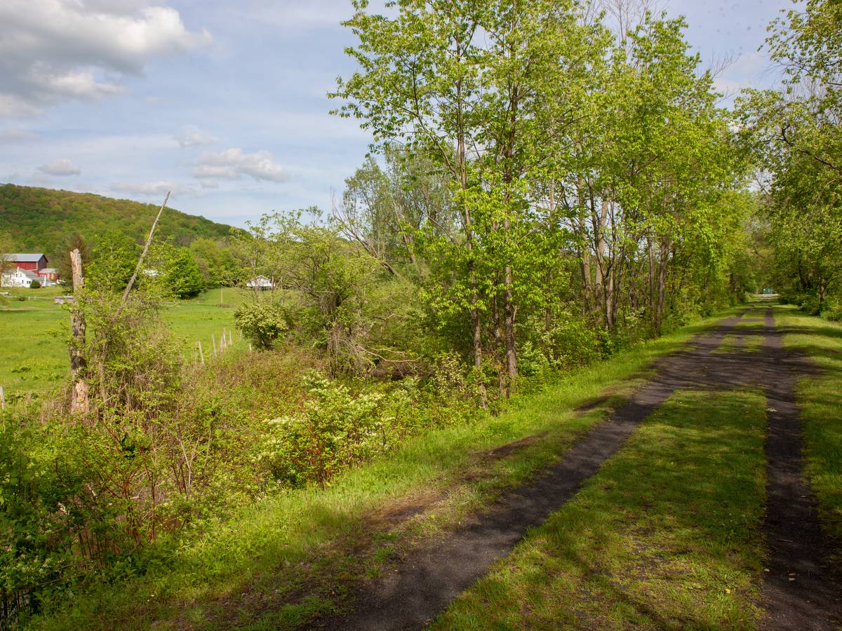
The northern leg of this section runs from the Village of Dryden to the Village of Freeville and passes through more urban areas and open spaces. Parking is available at Spring House Road, George Road, and at the Freeville Village Hall on Factory Street.
Ultimately, the trail will extend southwest from Freeville and through the hamlet of Etna as it connects to its terminus at Game Farm Road. Here it joins the East Hill Recreation Way, a 3.5-mile multi-purpose trail owned by the Town of Ithaca that runs parallel to Cascadilla Creek and onto Cornell University campus.
For now, visitors can enjoy this section which traverses the hamlet of Varna utilizing old railroad bridges and connects to trails on Cornell Botanic Garden’s Monkey Run Natural Area. Parking areas are available on Mt. Pleasant and Game Farm roads.