Share This Location


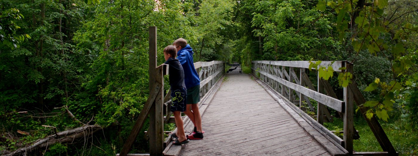
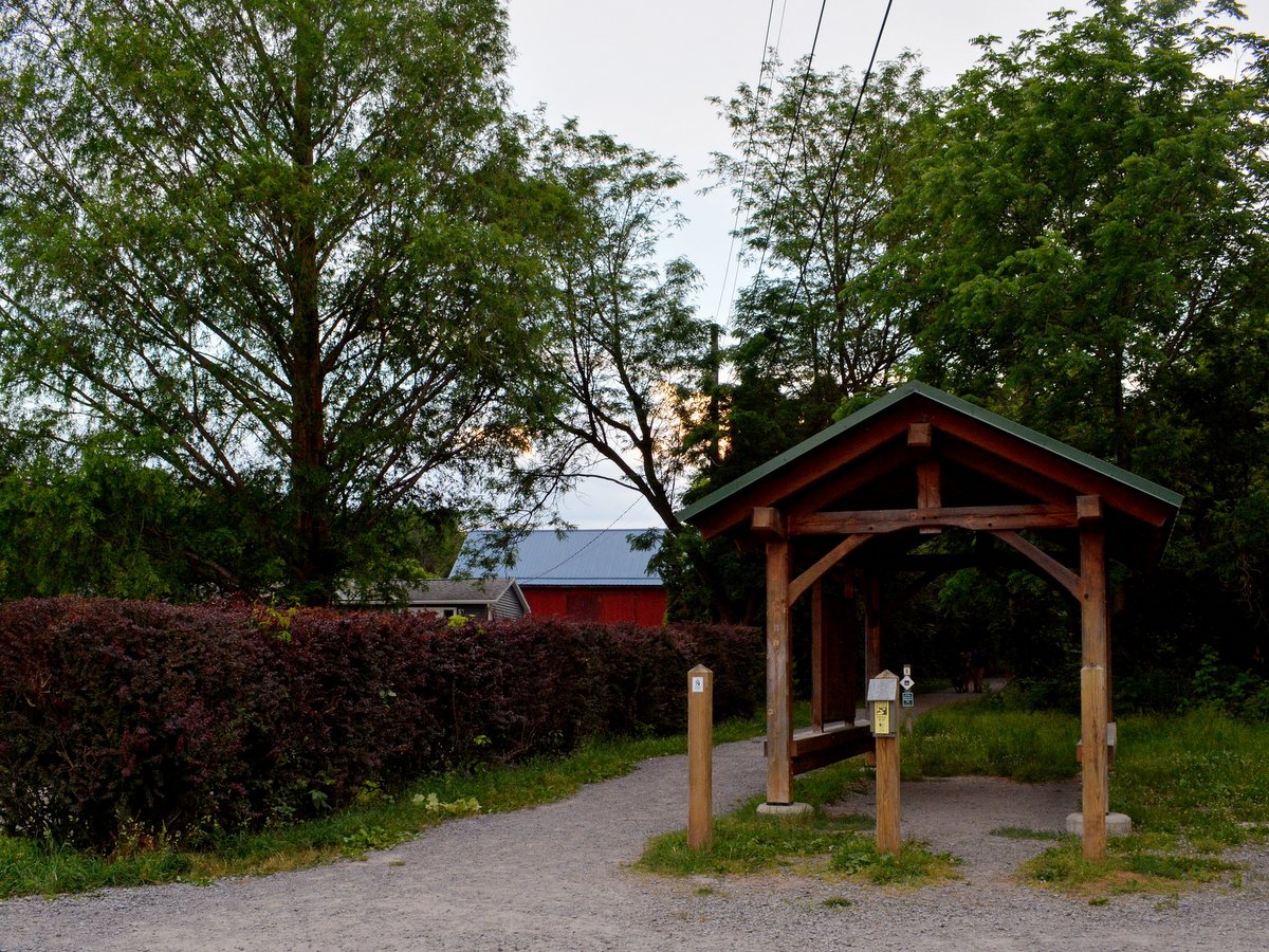
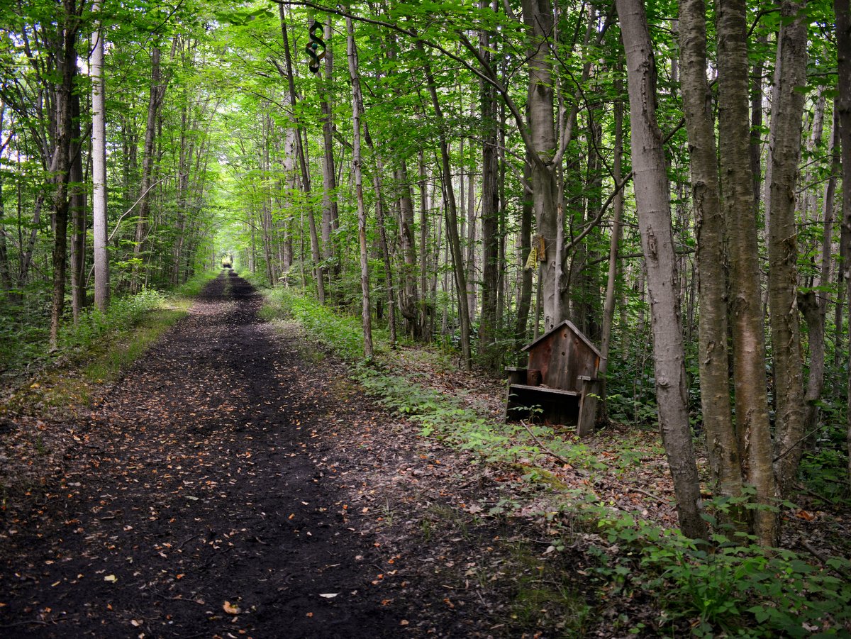
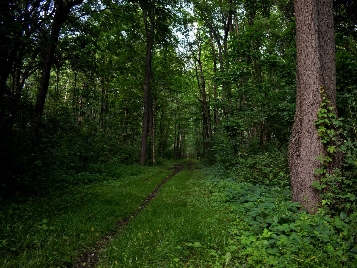
Connecting various towns and villages in eastern Ontario County, Ontario Pathways is a flat, 25-mile, V-shaped, multiuse, non-motorized trail route that follows an abandoned rail line once owned by the Northern Central Railroad. The entire trail is open year-round from dawn to dusk for hiking, biking, running, horseback riding, and cross-country skiing.


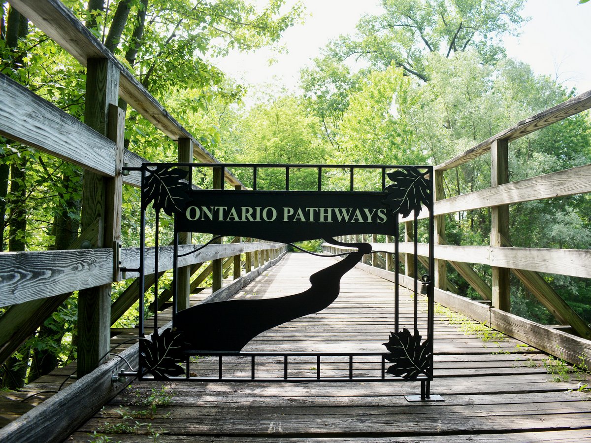
After a series of mergers and acquisitions in the 20th century, the rail line’s final operator, Penn Central, filed for bankruptcy in 1970. Then, in 1994, the newly-formed, all-volunteer, non-profit organization Ontario Pathways, Inc., began the process of purchasing unsold portions of the rail bed to form this unique and rustic trail system.
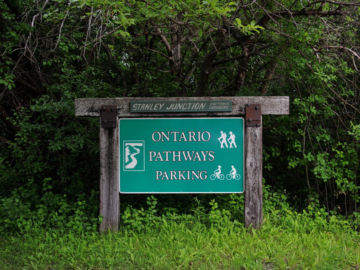
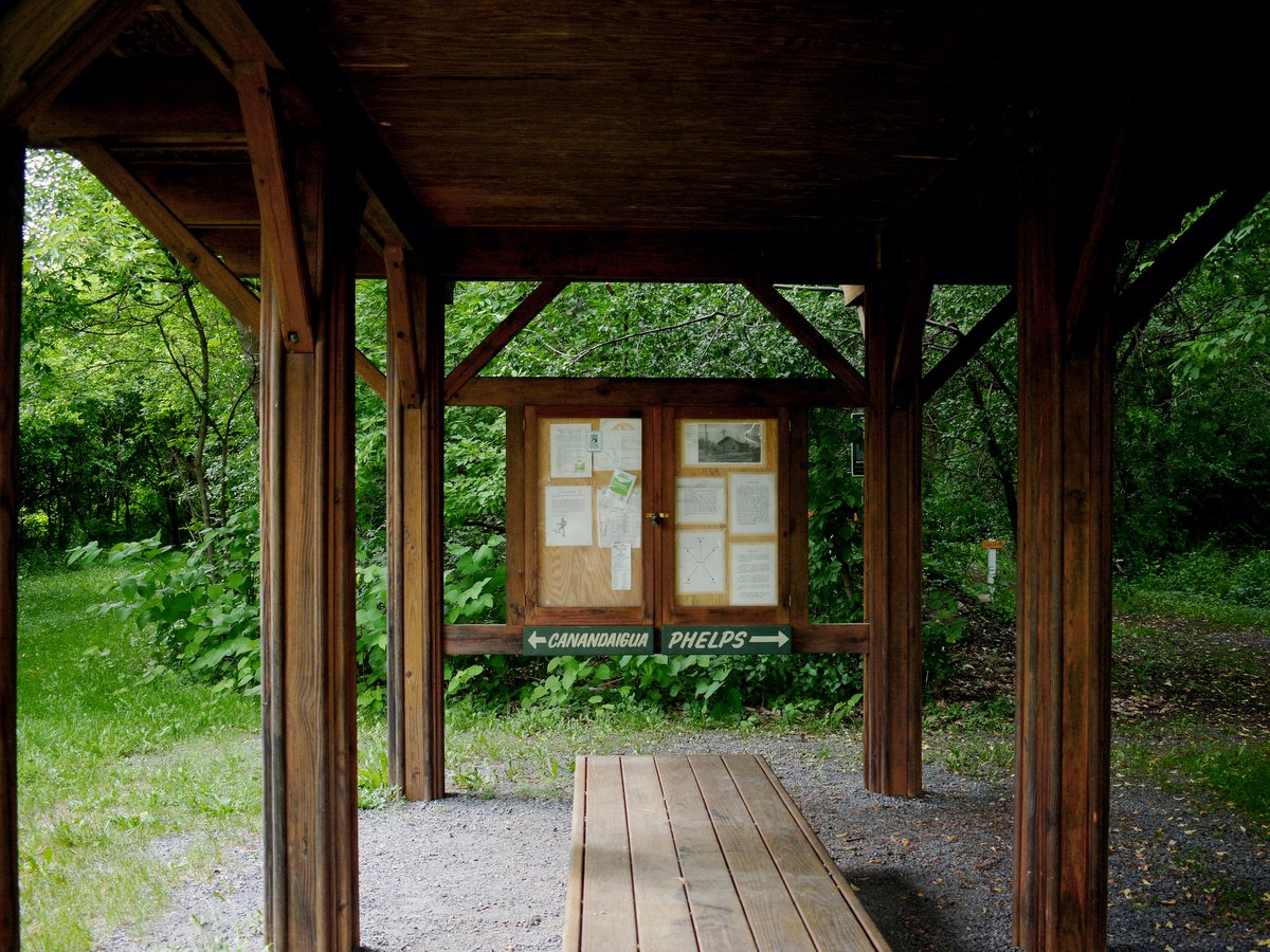
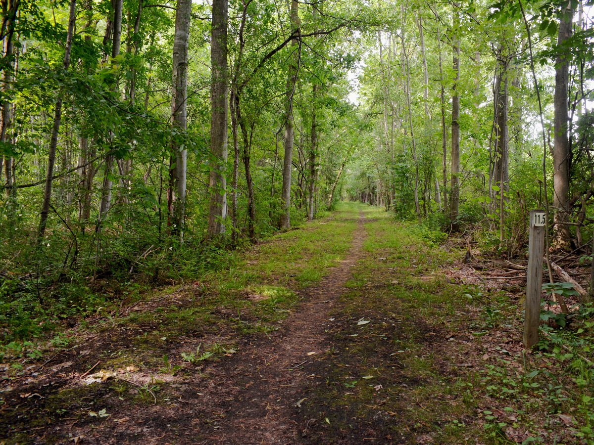
Ontario Pathways is comprised of two “legs,” each approximately 11.5 miles long: the Canandaigua leg, stretching from Canandaigua to Stanley, and the Phelps leg, which extends from Stanley through Flint, Seneca Castle, Orleans, and ends in Phelps. Separated from the main V-shaped route is a 1.8-mile out-and-back trail north of the New York State Thruway, accessible from a parking area on Gifford Road in Phelps. From there, this unmarked section of the trail continues unobstructed by roads until it ends abruptly at the Wayne County/Ontario County line where you must turn around and go back.
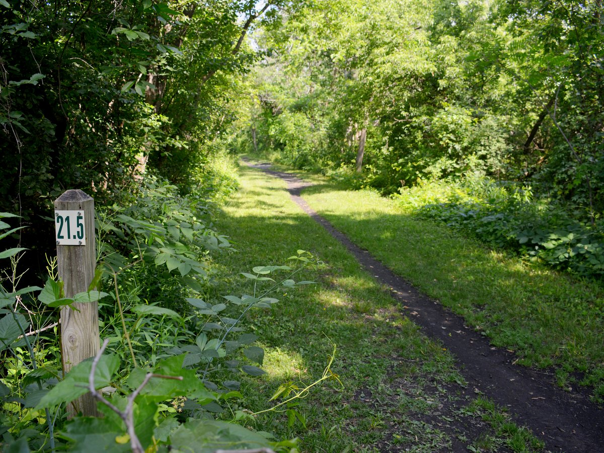
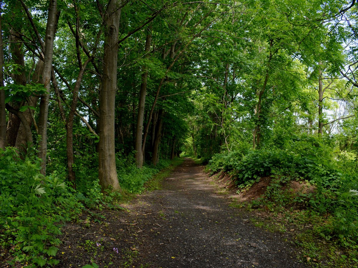
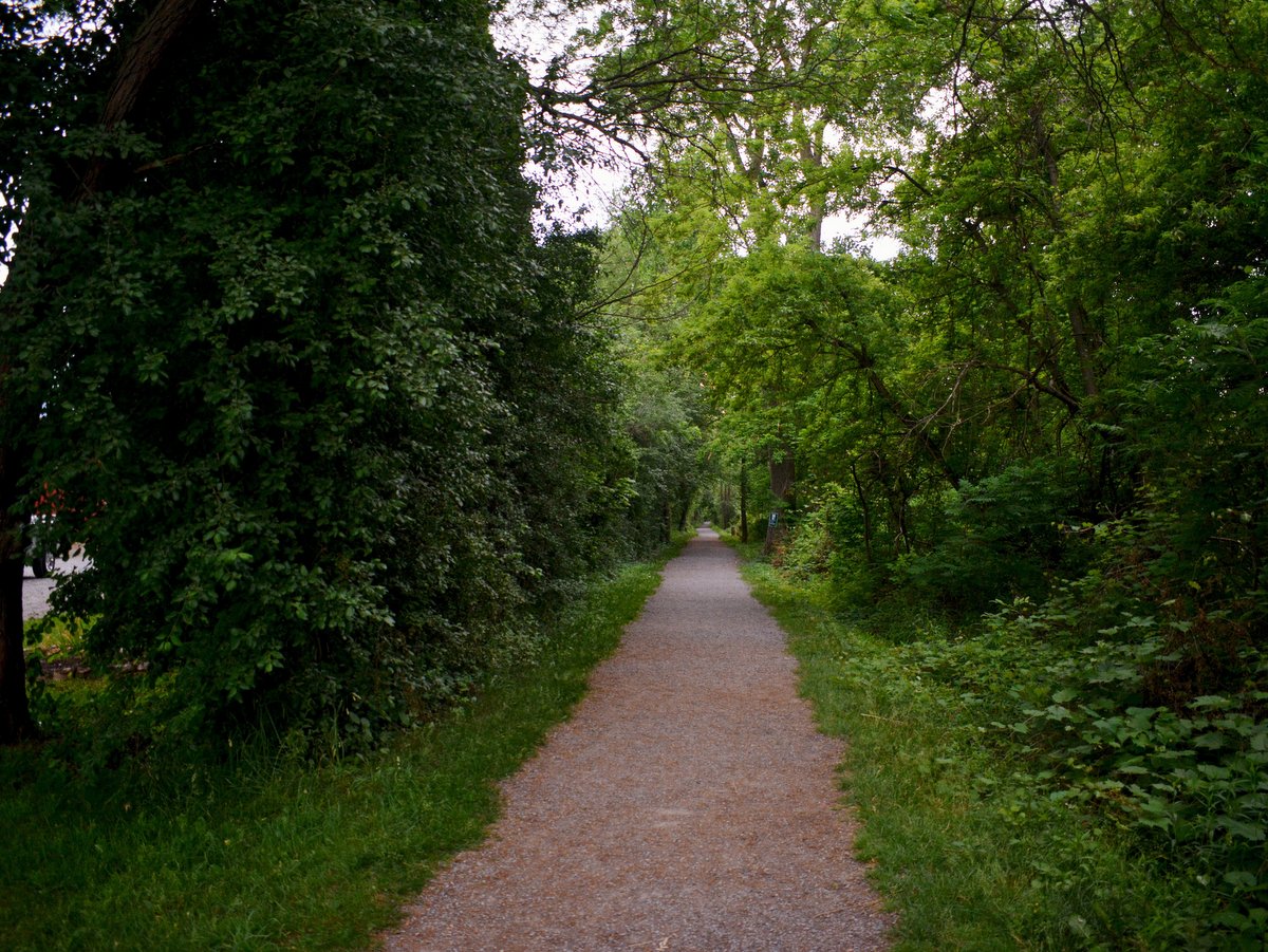
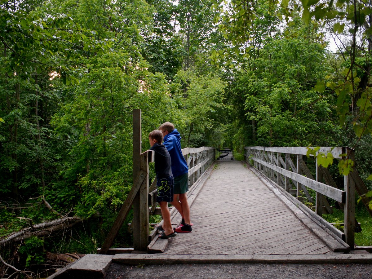
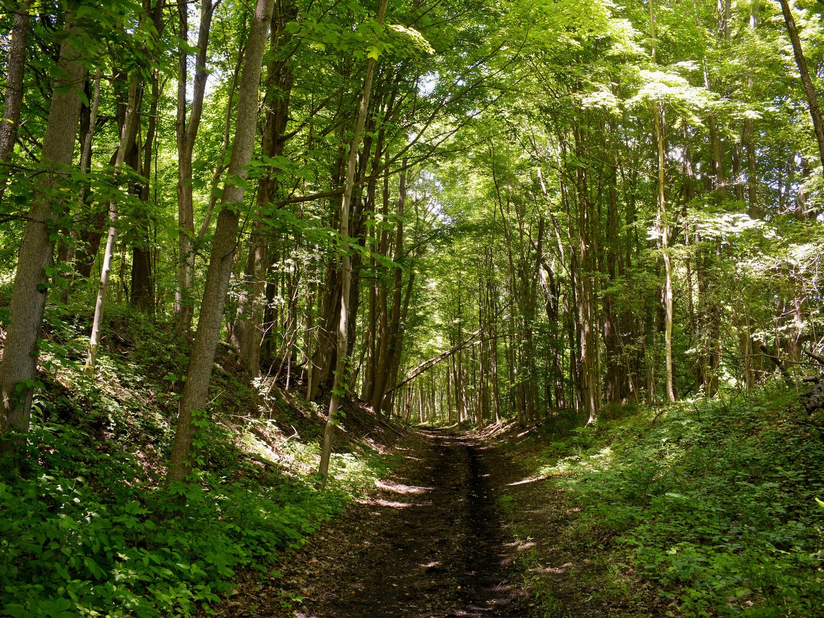
A sturdy bike is advised as certain grassy sections often have hidden roots and rocks. The trail surface alternates between cinder, stone, and grass as it traverses open pastoral lands, wooded areas, small towns, and historic bridges. Most portions of the trail are well-shaded and provide excellent bird and wildlife viewing opportunities.
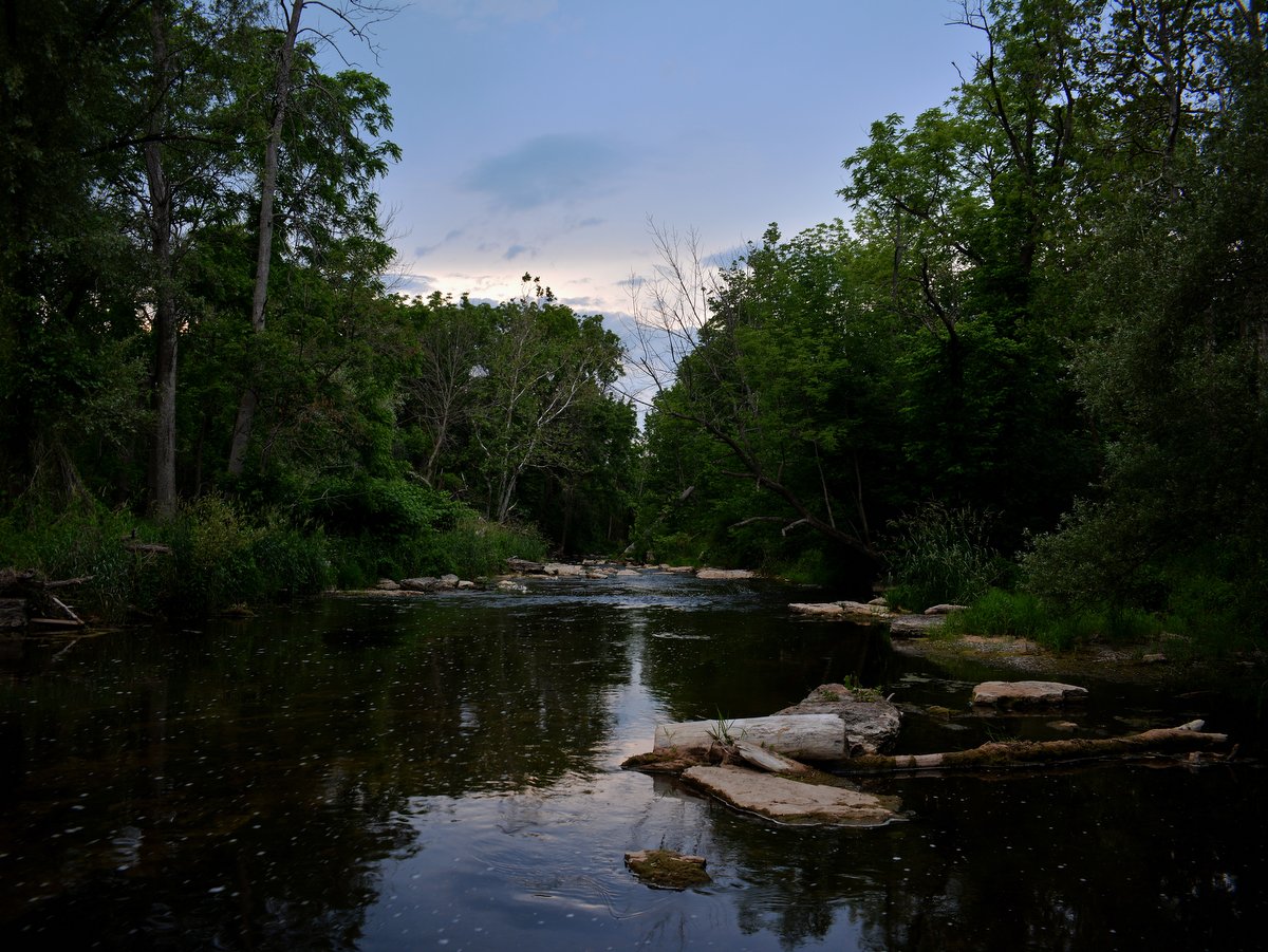
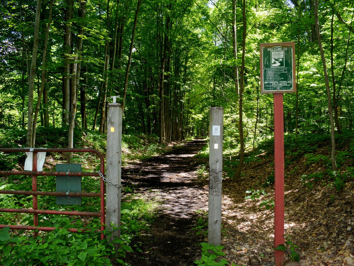
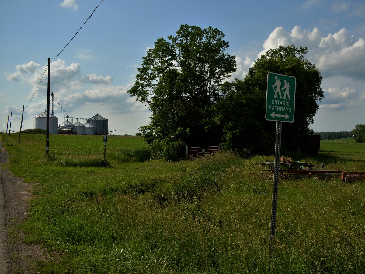
Access to the trail can be found at many road crossings, although some parking areas are more accommodating than others. An excellent starting point to the Phelps leg is a large parking lot off New York State Route 96 a quarter-mile east of Route 488 in Phelps. From there, the trail generally follows Flint Creek for almost three miles before it merges with a half-mile section of New York State Route 488 in Orleans. To avoid Route 488, start at Orleans and park near the old water tower. The trail starts on the south side of County Road 23 and continues to the hamlet of Stanley, another great starting point at the southern end of the Canandaigua leg.
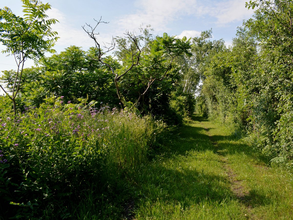
Visitors who wish to begin their journey in downtown Canandaigua can use the trailhead and parking lot on Ontario Street, following the path as it crosses the Canandaigua Outlet and turns eastward. Along this leg, families can delight in a Winnie the Pooh-themed trail section between County Road 10 and County Road 46.
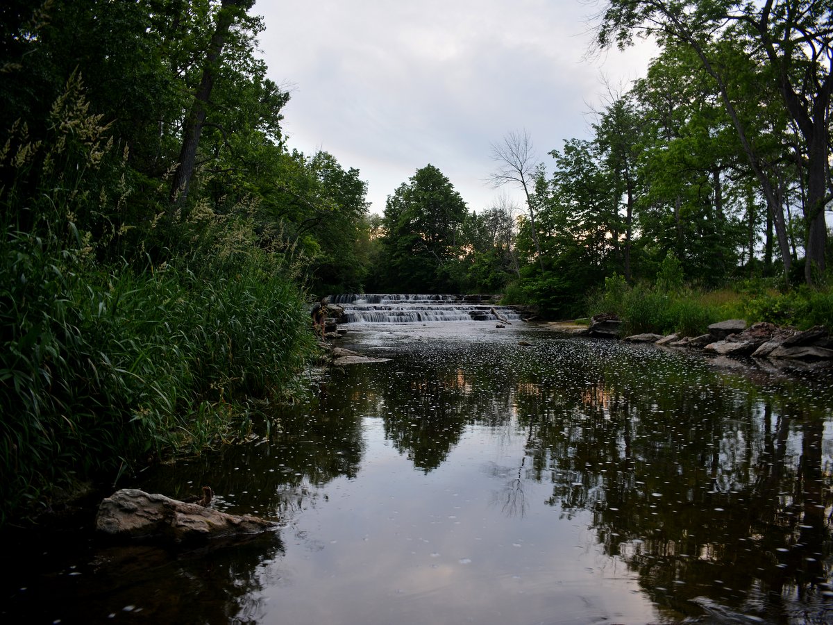
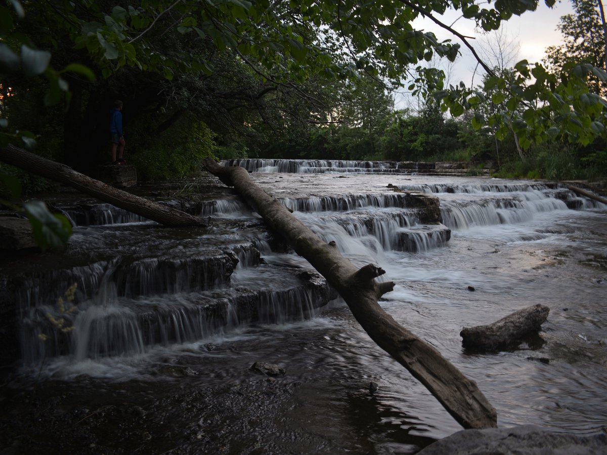
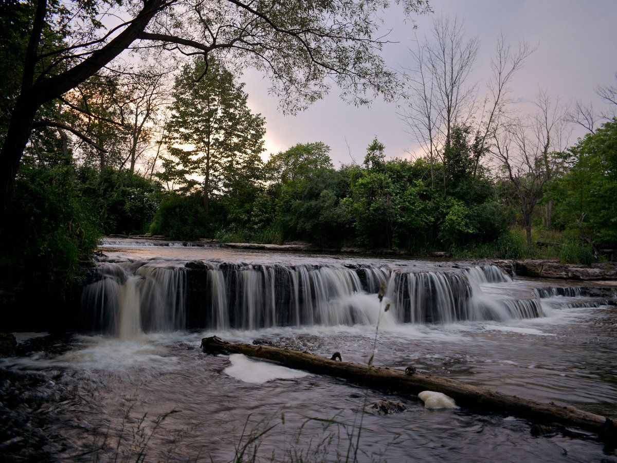
There are also four hiking loops on the Phelps leg which make for additional 1.9 miles of trail. The one-mile Flint Creek Loop Trail can be accessed from the Wheat Road section and guides visitors to the creek and back again. South of Orleans, there is also the 0.3-mile Train Wreck Loop Trail—the site of a 1964 train derailment, the 0.4-mile Hemlock Grove Loop Trail—which follows Beaver Dam Creek to Flint Creek, and a 0.2-mile Mill Falls Trail out and back just south of the Route 96 trailhead.
Ontario Pathways is a 100% volunteer organization with no outside funding. Ongoing trail maintenance is performed by volunteers from Ontario Pathways, Inc., a fine example of community-driven efforts to promote recreation and civic engagement.