Share This Location


Shindagin Hollow State Forest is over 5,380 acres and features more than 29 miles of trails — roughly fifteen miles of mountain biking trails and just under six miles of hiking trails. Like at Highland Forest south of Syracuse, the two trail networks are separate. Unlike Highland Forest, the number of intersections is limited so cyclists and hikers alike can enjoy their experiences separately.
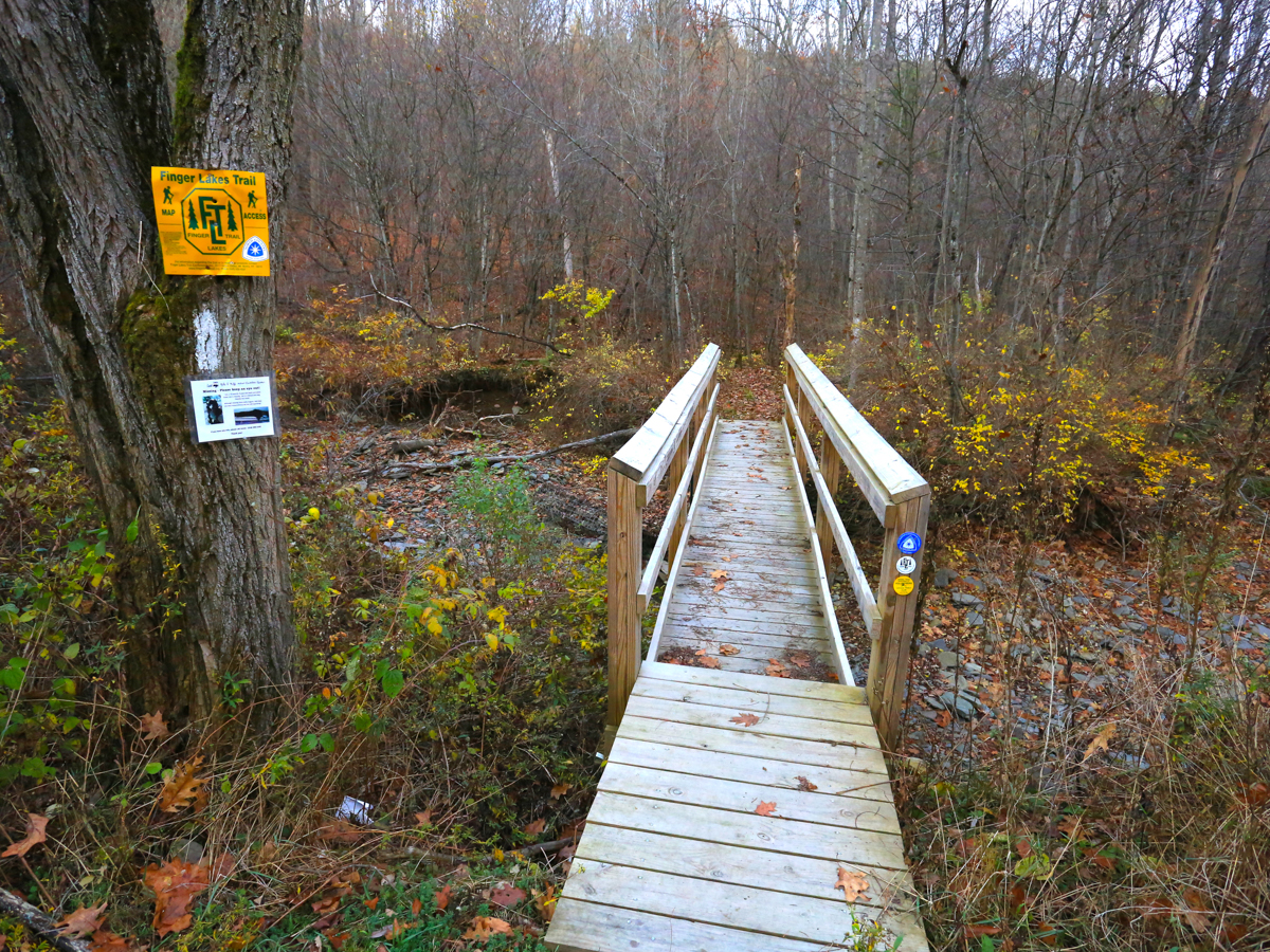
The mountain bike trail system is located almost entirely in the section of the forest to the west of Shindagin Hollow Road. The hiking trail traverses laterally across the forest and is almost exclusively along a 5.7-mile-long section of the Finger Lakes Trail (FLT); this section lies between Danby State Forest to the west and Potato Hill State Forest to the east.


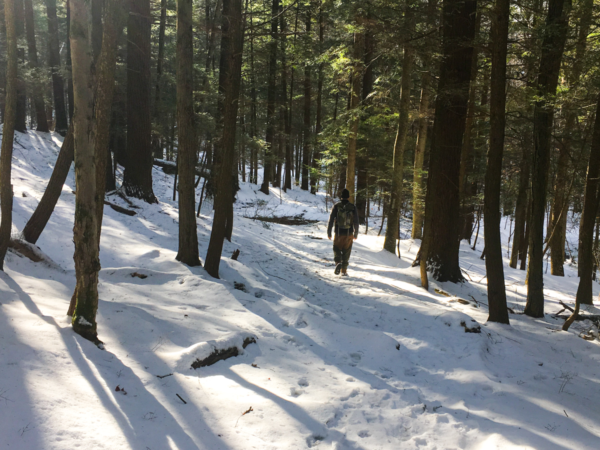
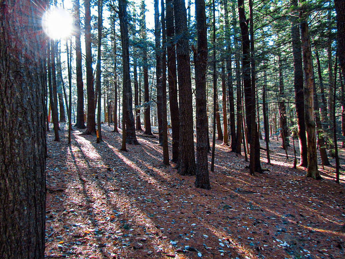


After a mostly rolling trek in the western section of the forest, the hiking trail makes a sharp descent to Shindagin Hollow Road only to climb back out of the hollow along portions of wooded gullies. The varied terrain and several steep climbs are a welcome challenge for experienced hikers.
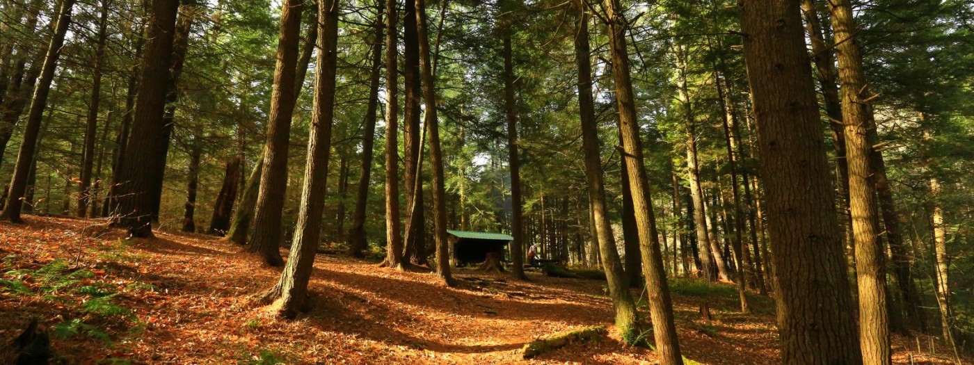
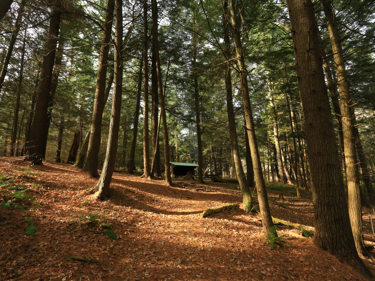
A popular stopping-over point for hikers along the FLT/North Country Trail is at a scenic lean-to that sits near a seasonal waterfall. A couple of extensive stacked stone artworks are found along the trail and are a welcome discovery that is better experienced than described. It is possible to create a loop hike, but it involves long sections along roads so the best hiking experience is either as an out-and-back or point-to-point.
…the number of intersections is limited so cyclists and hikers alike can enjoy their experiences separately.
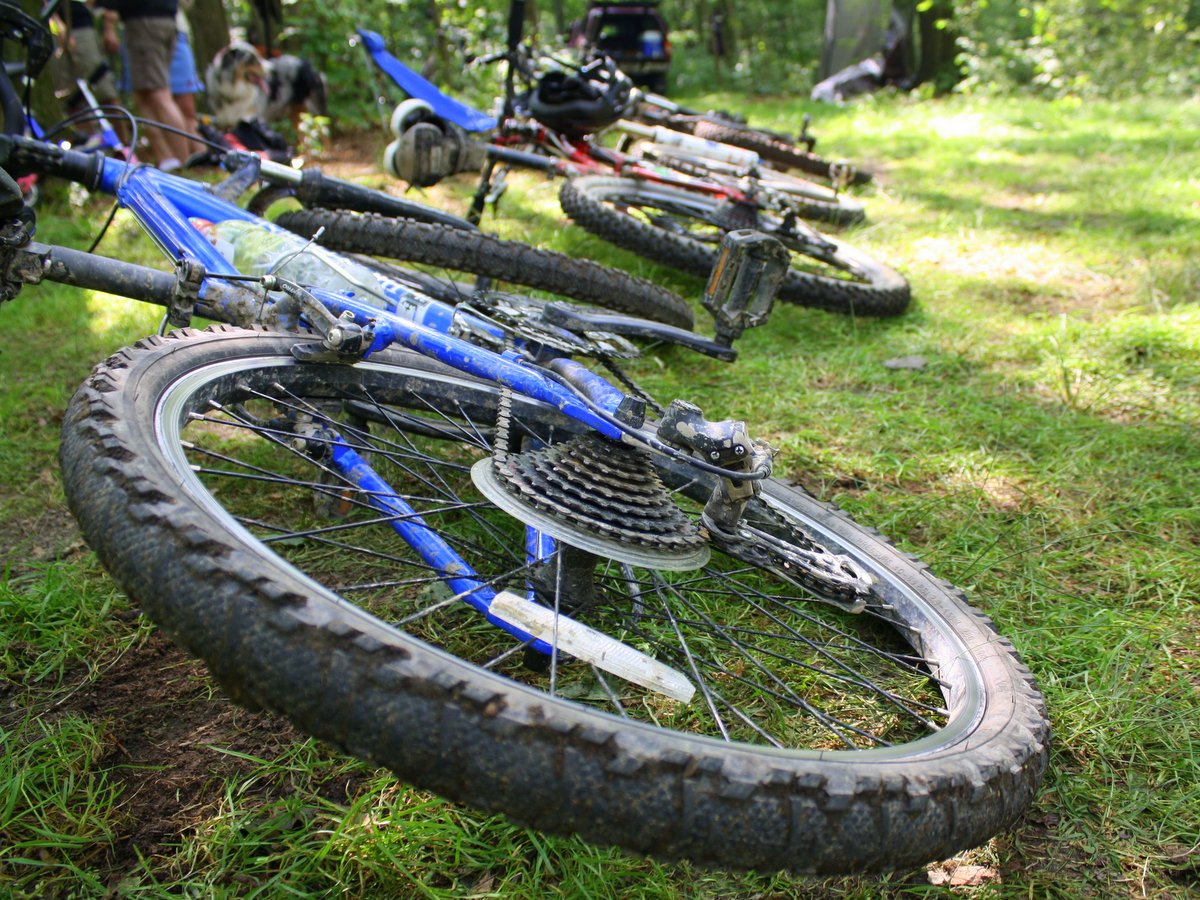
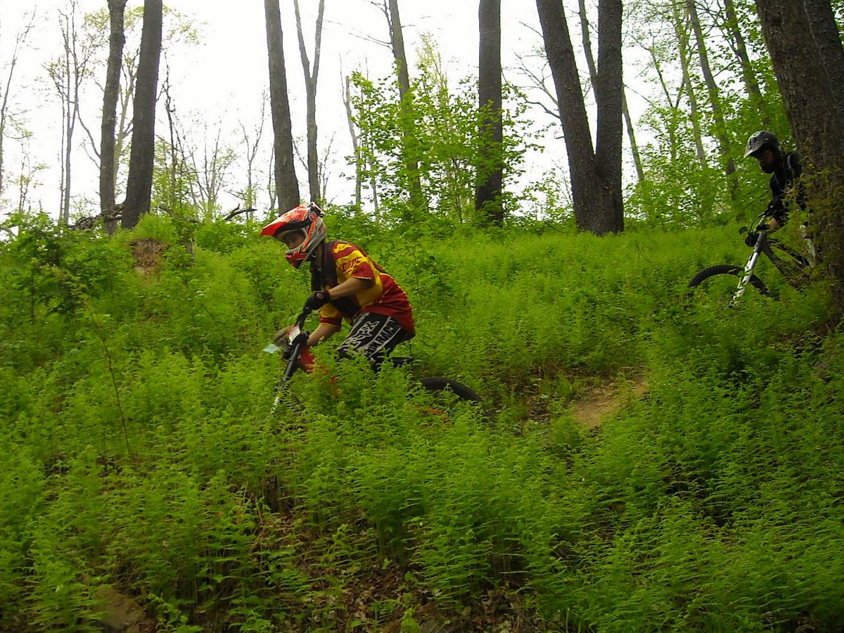
And while the hiking provides a fulfilling journey for experienced hikers, the mountain biking is often rated as not only the best in the Ithaca area but some claim in the world. It’s a lofty statement, but its popularity by mountain bikers, demonstrated by parking areas that are usually well-populated and an ongoing annual mountain bike festival, shows that the hollow has a unique draw for cyclists.
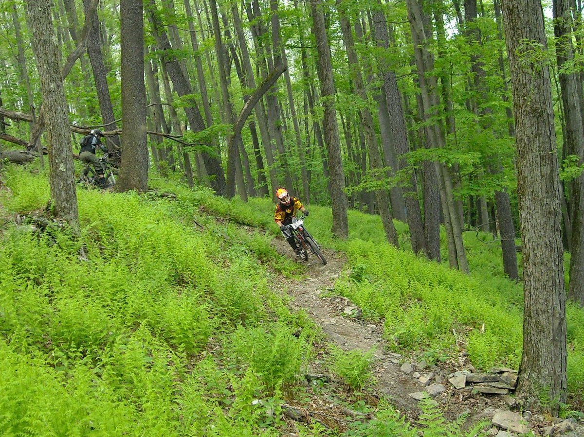
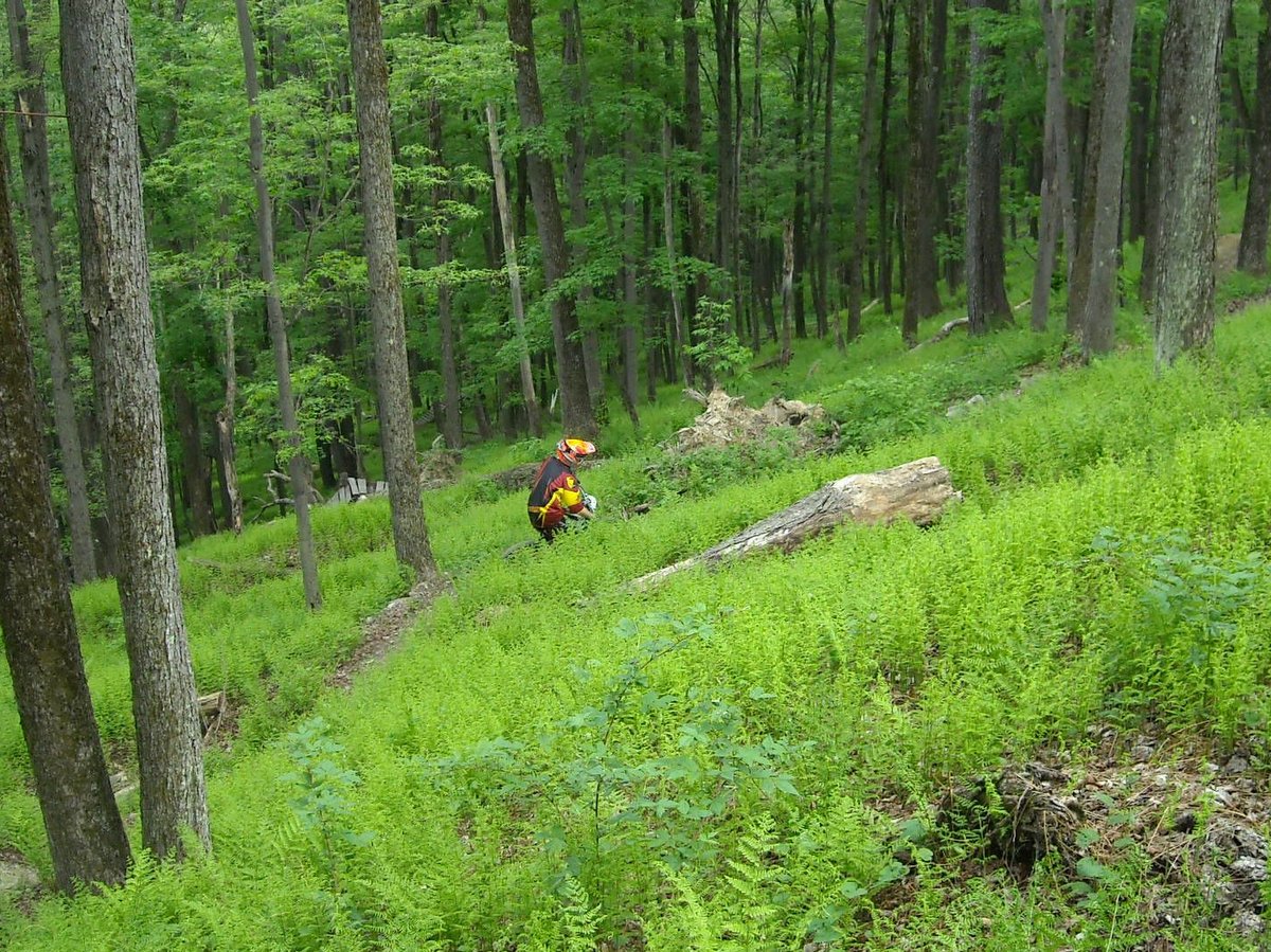
The 14.5 miles of mountain bike-focused trails are classified as technical single-track, vary in difficulty, and can be combined to make extensive trips. Generally speaking, the blue and green trails to the east are considered more difficult than the red and yellow trails upslope to the west, but their proximity means it’s easy to mix and match. Note that the red and yellow trails dry out faster than the blue trails and riding wet trails only degrades the system and all the hard work that has gone into creating the trails.
Mountain biking clubs, in partnership with the New York State Department of Environmental Conservation’s Adopt a Natural Resource program, have developed these trails through extensive trail construction work as well as the creation of special obstacles and challenges.