Share This Location


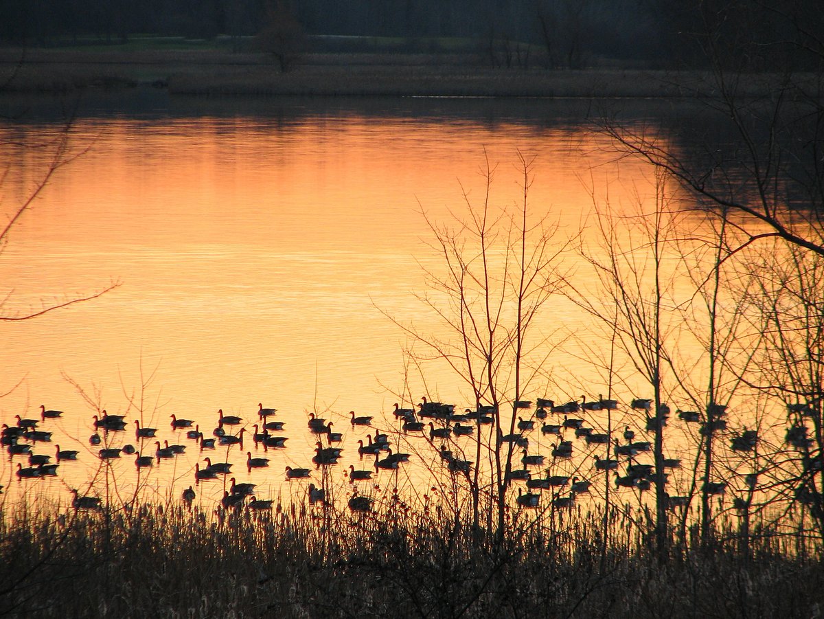
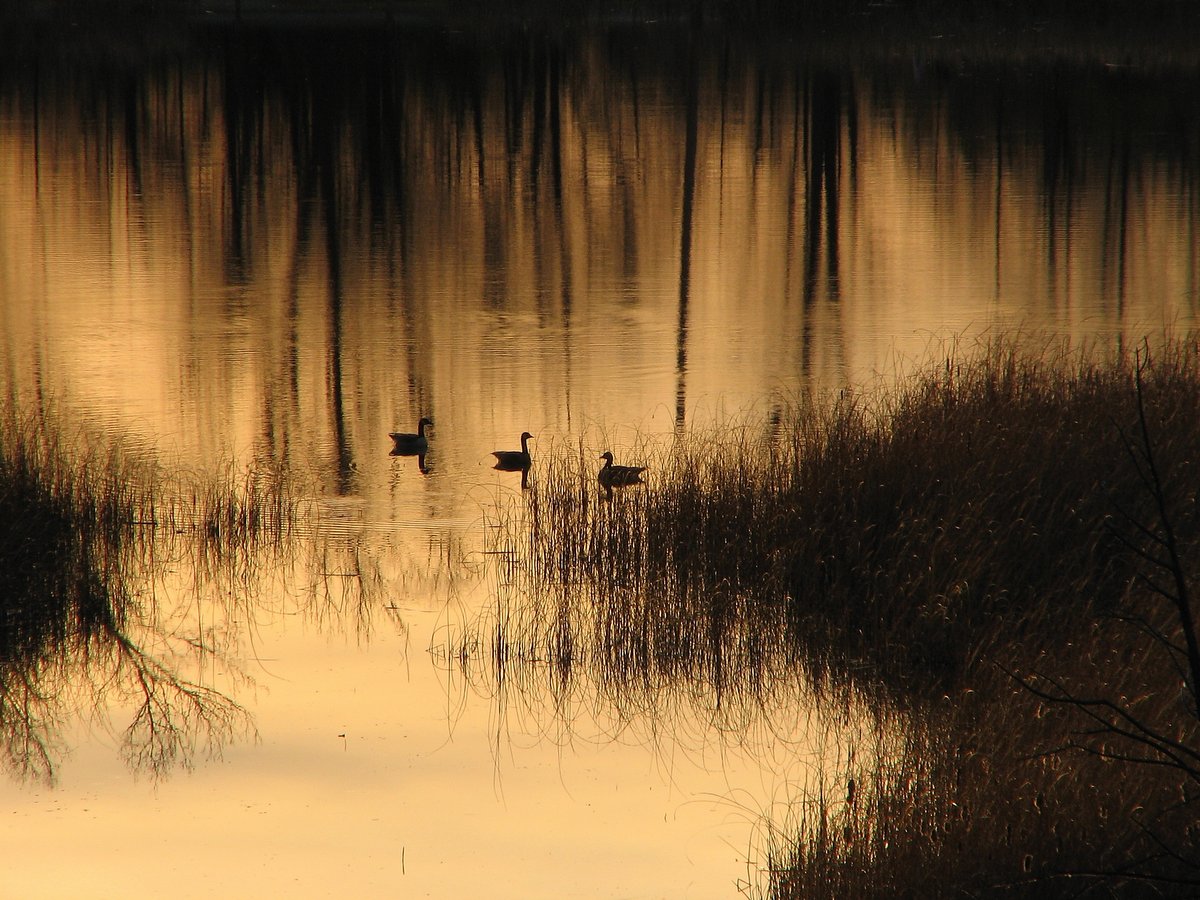
Much of what ties the Finger Lakes landscape together dates back to the Ice Age and there are few better places to see the land-sculpting power of glaciers than Mendon Ponds Park. With over 2,600 acres, it is the largest park in Monroe County. It includes a wide variety of features: roughly 40 miles of hiking trails, athletic fields, picnic tables, cycling along the network of roads, horseback riding, and canoeing/kayaking (car-top launches are available May 1st through October 31st).
While the ample space combined with a plethora of activities will appeal to many outdoor enthusiasts, what sets this park apart are the stunning examples and quantity of glacial landforms. The collection of kettles, kames, and eskers is so dramatic that in 1969 it was added to the National Registry of Natural Landmarks. Sharp winding ridges (eskers), deep holes (kettles), and knobs (kames) are all intertwined so densely that the landscape begs to be explored, promising new mysteries over every hill and around every corner. Mendon Ponds Park truly is a must-see for anyone trying to appreciate the natural history of the region.


Eskers are long winding ridges believed to have formed within ice-walled tunnels underneath the glaciers. Rivers flowed through these tunnels and their deposits created the elevated ridges. The formations likely occur during glacial maximum, the time when glaciers are moving at their slowest pace. To put that in perspective, when hiking along the elevated ridges, imagine being in an ice tunnel with a river beneath and a mile of ice above your head!
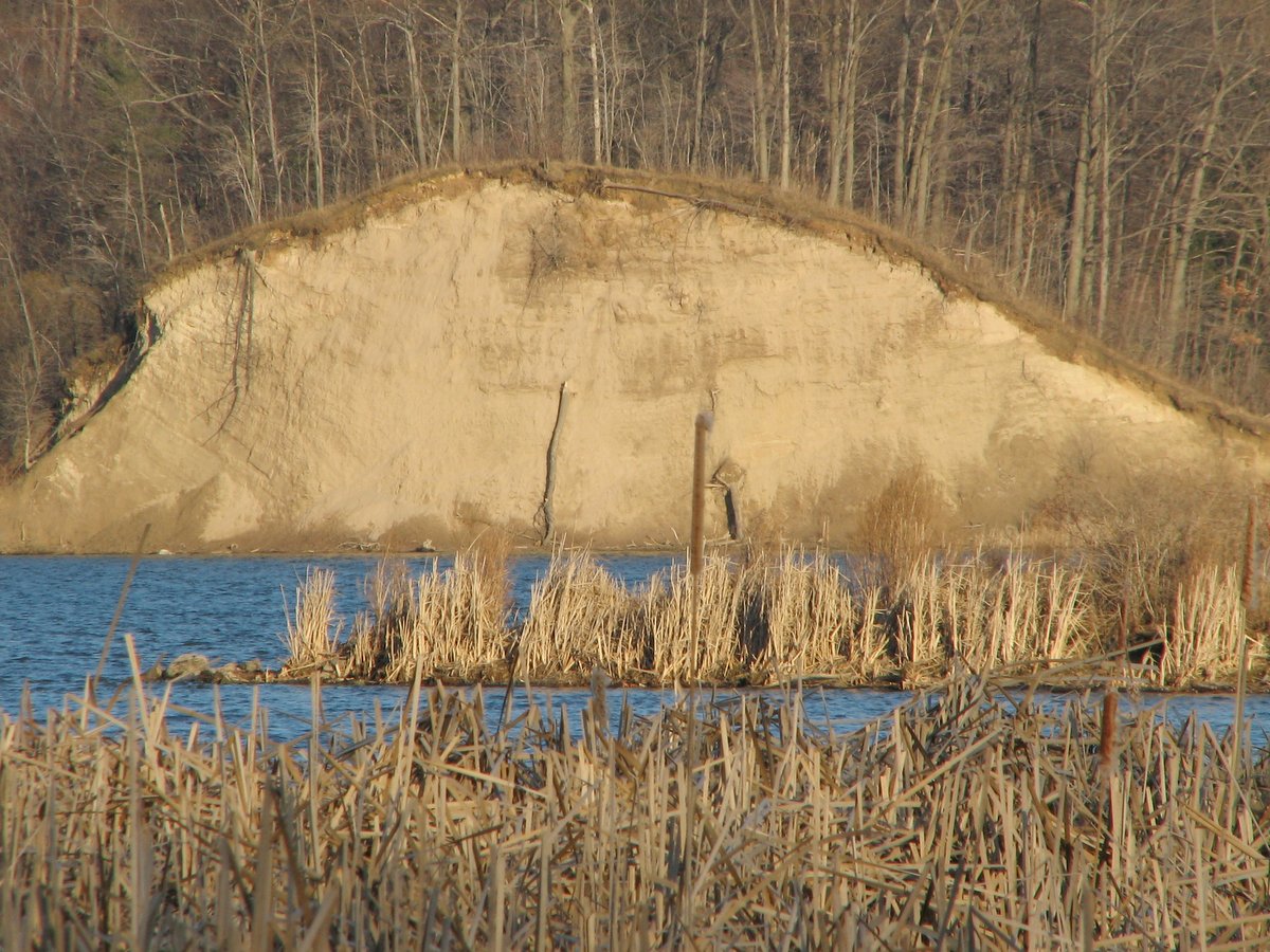
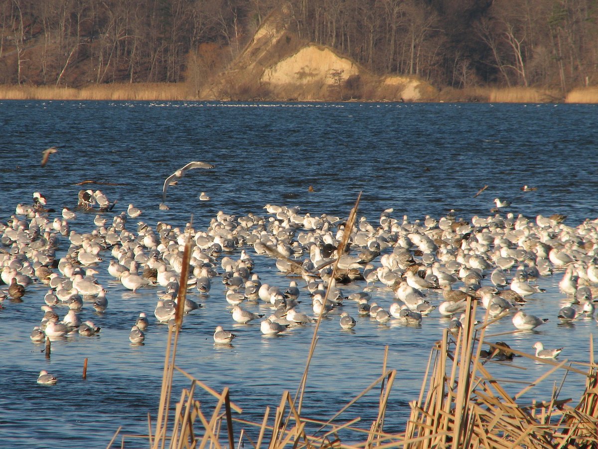
Kames are formed when runoff from a glacier creates piles of material that leave knoblike hills across the landscape. Picture the result of grabbing a handful of sand and letting it slowly pour into one mound. Striking examples are found along the southeast portion of the East Esker Trail. Kames are like the inverse of kettles and are typically found near each other.
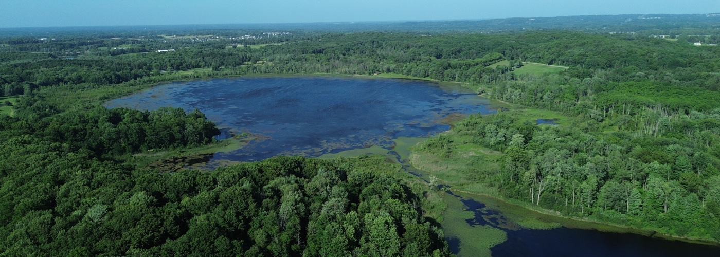
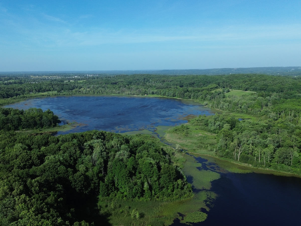
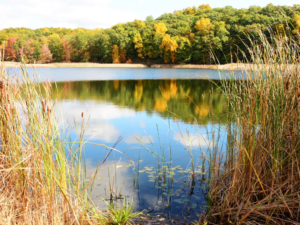
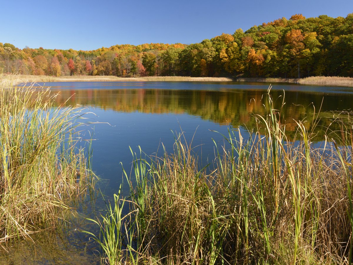
Kettles are formed when massive chunks of ice break off the glacier and gravel and debris are deposited around it. When the glacier retreats and the ice melts, a depression in the landscape remains. If the depression holds water, a kettle lake is formed, such as Devil’s Bathtub, Round Pond, and Lost Pond. When the depressions can’t hold water, we see the deeply-sided round depressions, such as seen along the eastern and western eskers.
Devil’s Bathtub is a popular destination in the park, not only because it is an interesting kettle lake, but also because it is a rare meromictic lake. Meromictic lakes are lakes where the top and bottom waters do not intermingle. The circumstances for this phenomenon are lakes that are typically sheltered, i.e. nestled within valleys, potholes, or kettles, wherein the surface area is small compared to its depth. At 47 feet deep, Devil’s Bathtub is on a much smaller scale than some of the region’s other meromictic lakes: notably, Green Lakes State Park and Glacier Lake at Clarks Reservation. But perhaps it is this small scale that makes it so much more interesting and is certainly the genesis of its moniker.
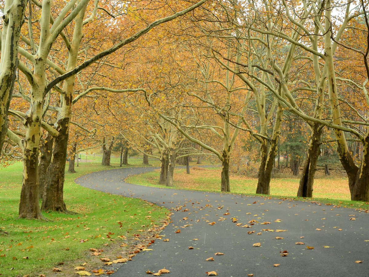
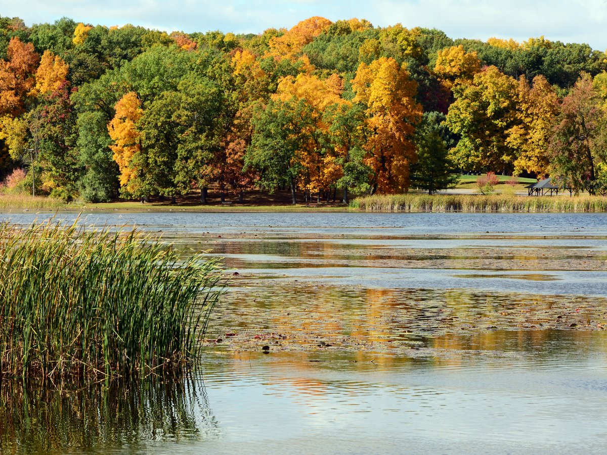
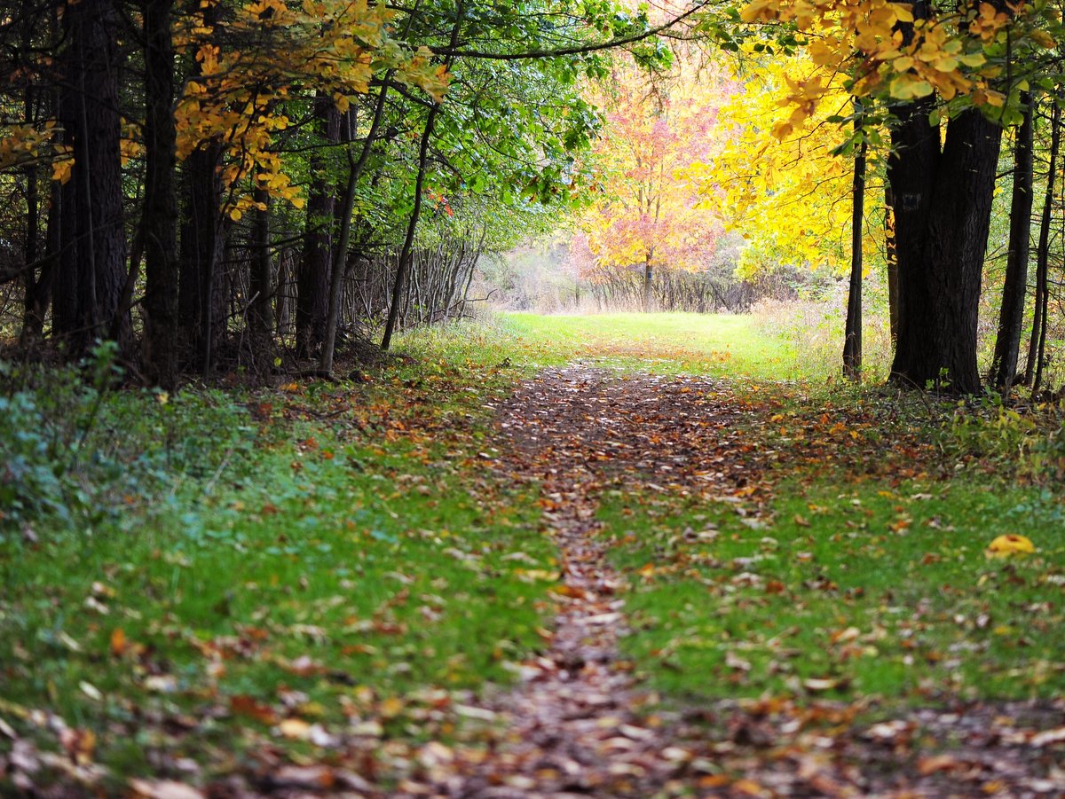
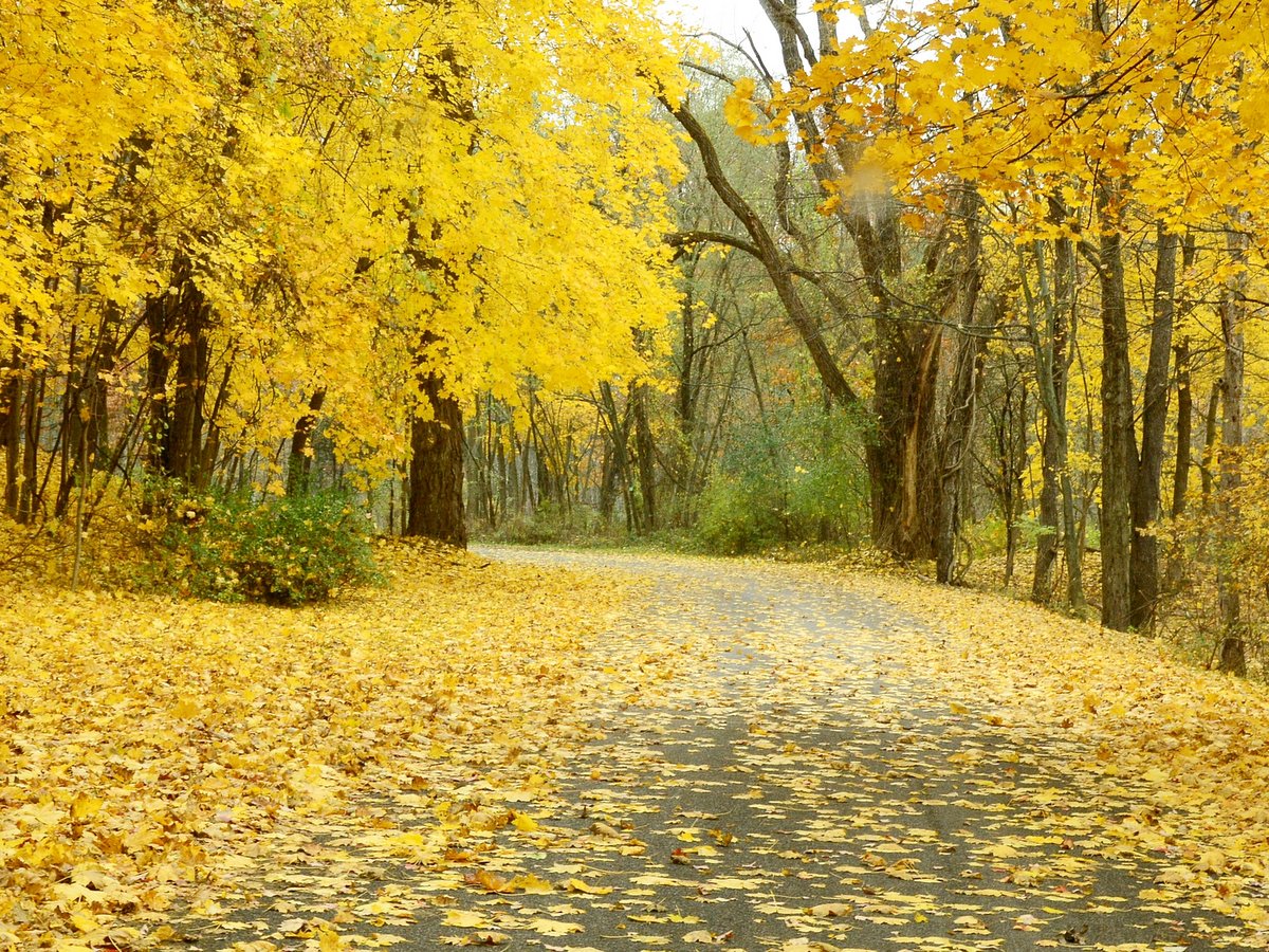
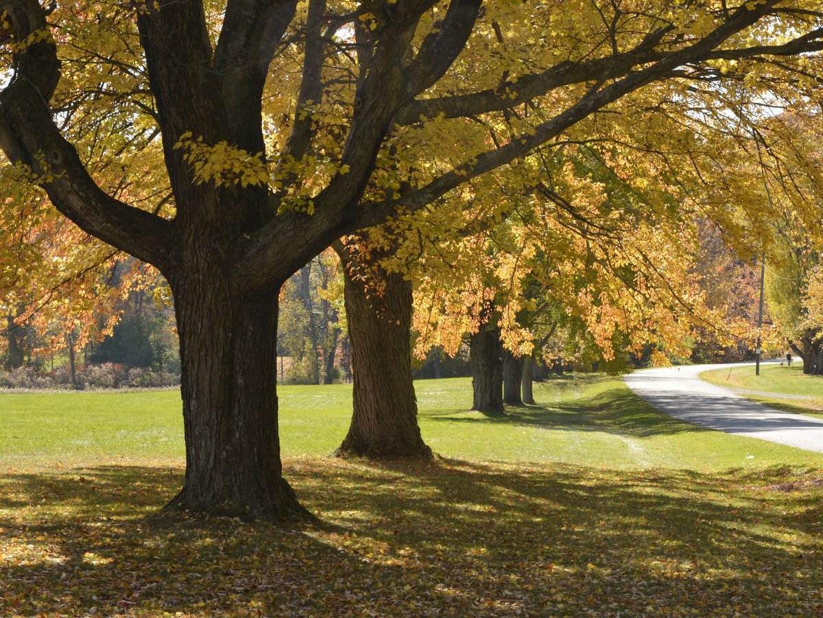
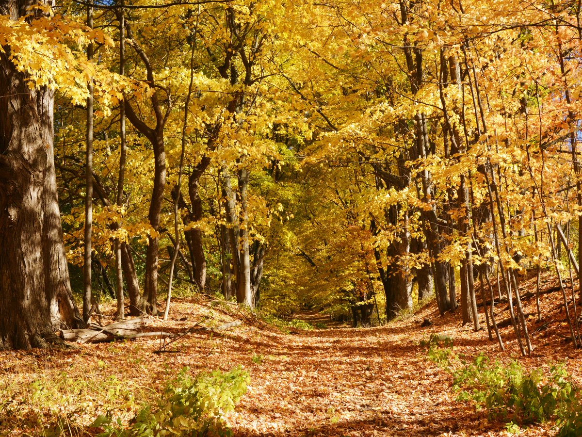
Exploring the topography is best done afoot during spring, fall, and winter when the foliage is gone. The trails here are exceptionally well-maintained, usually with a sandy base that is soft, free of obstructions, and wider than your normal footpath. The trail network weaves through the dense woods that surround the park’s open fields and ponds. Trails are deep enough in the woods to feel isolated from the park but wind back to the open fields often so that you can park and start exploring from just about anywhere. While local hikers may know every twist, turn, and shortcut, new visitors will benefit from a map to stay oriented. The major trails, marked in color, are easy enough to discern/follow but there is a multitude of unnamed connecting trails. These lightly trafficked trails provide shortcuts between the named trails and are often, though not always, marked with numbers. Every trail seems to abut, travel atop, or pass by some of the park’s glacial landforms. Not surprisingly, the densest of these features is along the East and West Esker Trails—4.7 and 1.5 miles respectively.
In addition to the great outdoor activities, Mendon Ponds Park is also home to Wild Wings Inc., a nature center and bird of prey facility. The facility cares for permanently injured and non-releasable animals and provides an opportunity to see these often elusive wild animals up close. The center also features a butterfly garden and is adjacent to some of the gentler trails like the Birdsong/Swamp Trail. This area of the park caters to more youthful hikers and rumor has it that fairy houses can be spotted along the trails and chickadees will eat seeds from your hand during the winter.
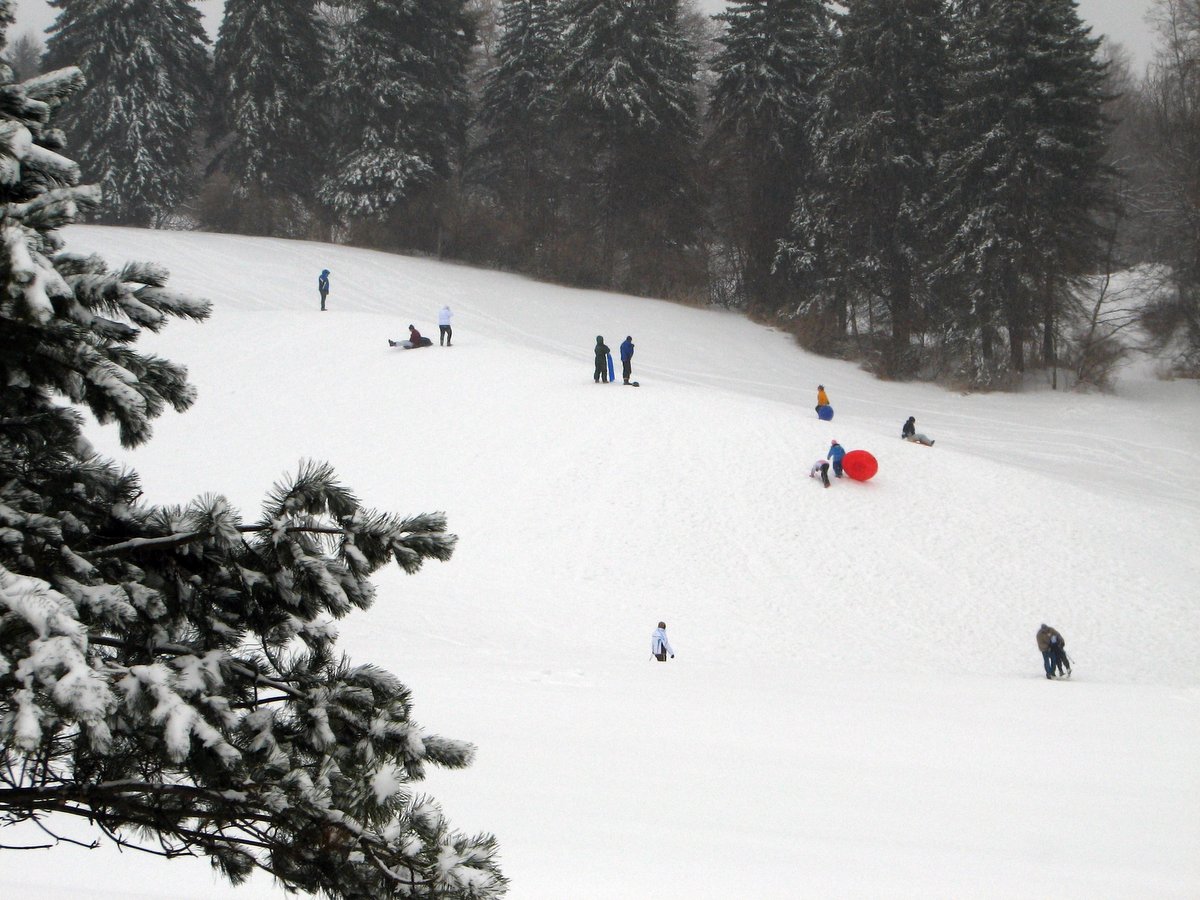
There is so much to do here that it’s worth more than one trip, and outdoor enthusiasts will likely want to visit during different seasons since there is as much activity in winter, notably Winterfest, as in the warmer seasons.