Share This Location


How important are protected wetlands for wildlife and fisheries? Well, to see firsthand you might just want to check out the amazing spawning runs at the Conesus Inlet Wildlife Management Area. Every spring, northern pike and walleye, both prized sport fish, swim upstream from the deeper lake and into the shallower marsh to lay their eggs.
The northern pike are the first to make the frenzied run in mid-March to early April, which is typically a few weeks after the ice on the lake melts and the water begins to warm up. Shortly after the northern pike return to the lake, the walleye make their run in late March to mid-April. The annual spectacle is so popular that finding parking can be problematic. That says a lot about an early spring outing which, before the trees leaf-out, can often seem drab and unexciting.
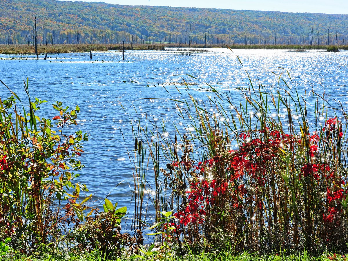
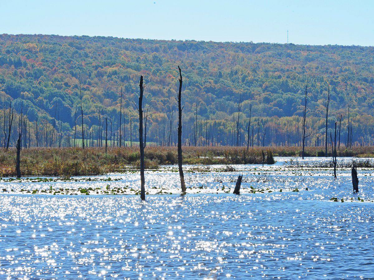
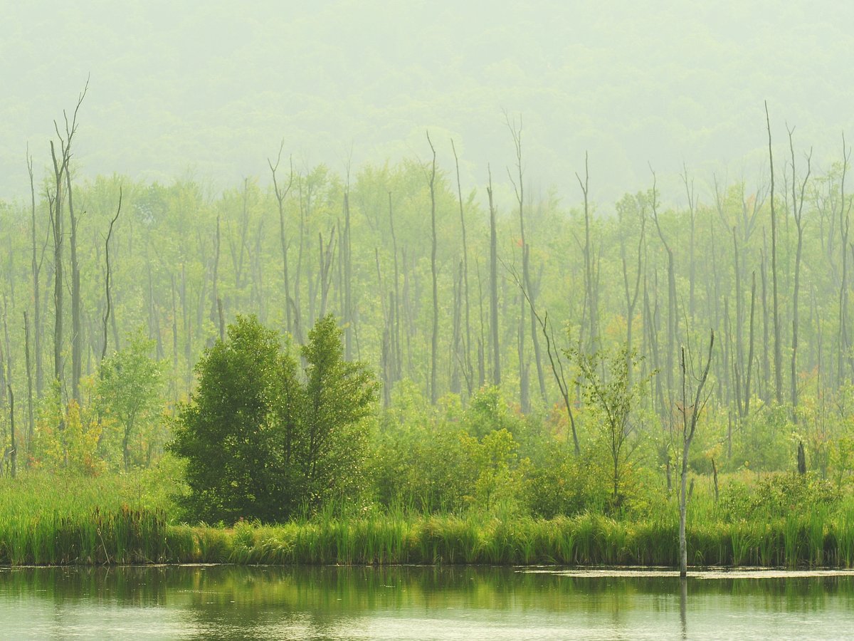

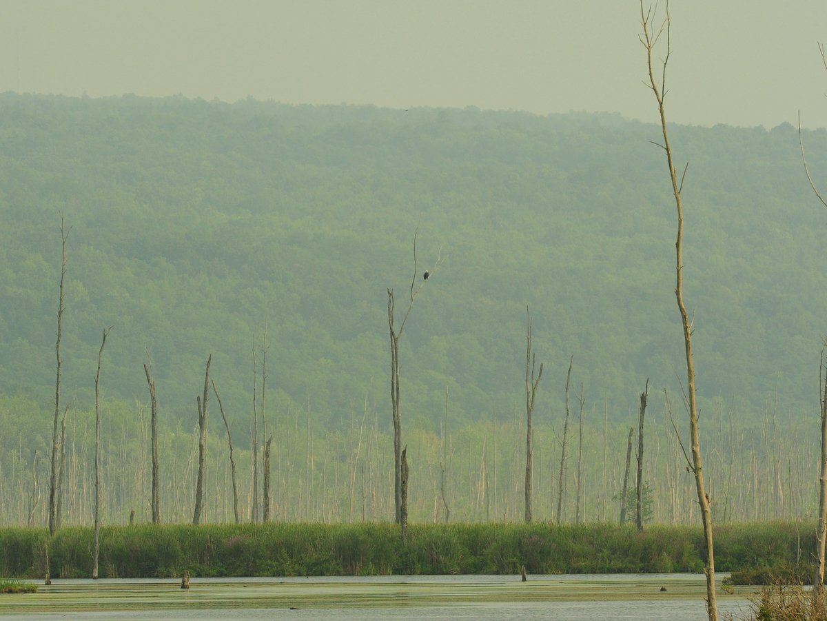
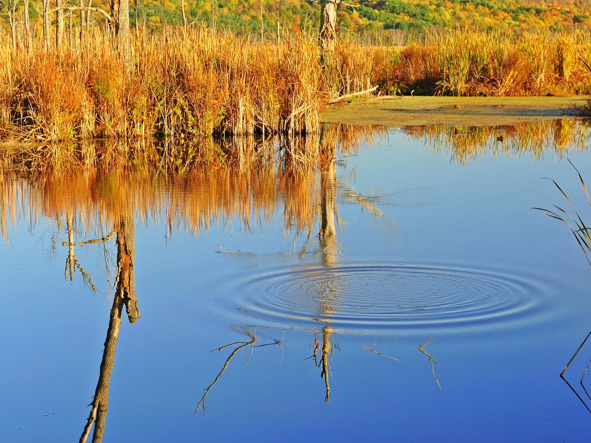
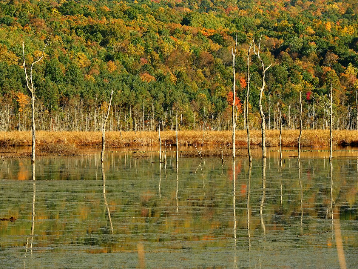
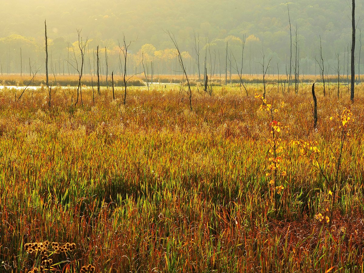
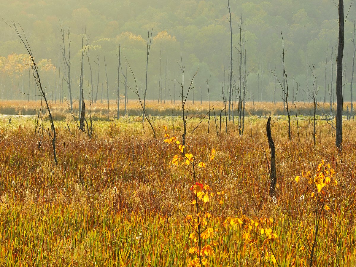

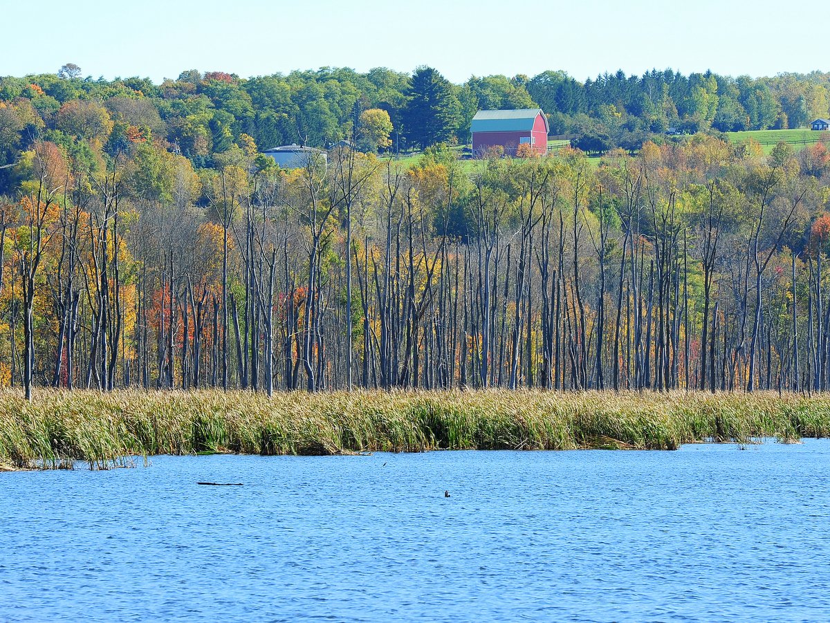

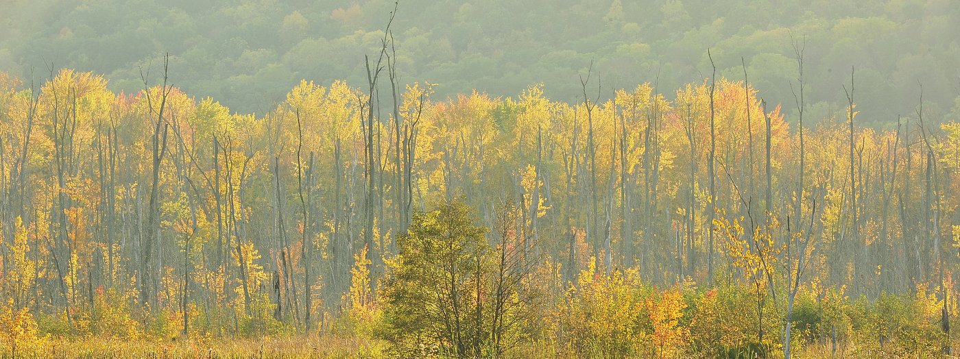
The marshland habitat is also a favorite stopover for numerous species of migratory birds, adding another seasonal highlight. But the marsh is a rich habitat and bird watching opportunities, as well as other wildlife viewing, abound throughout the year. To cap it off, Bald Eagles have been nesting within the area and can be seen fishing the lagoon.
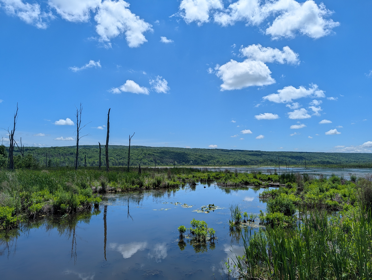
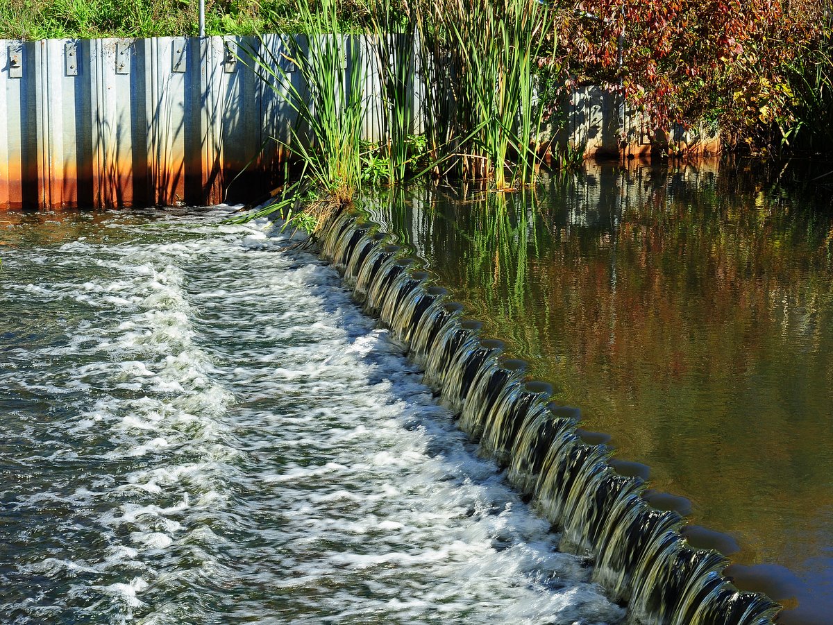
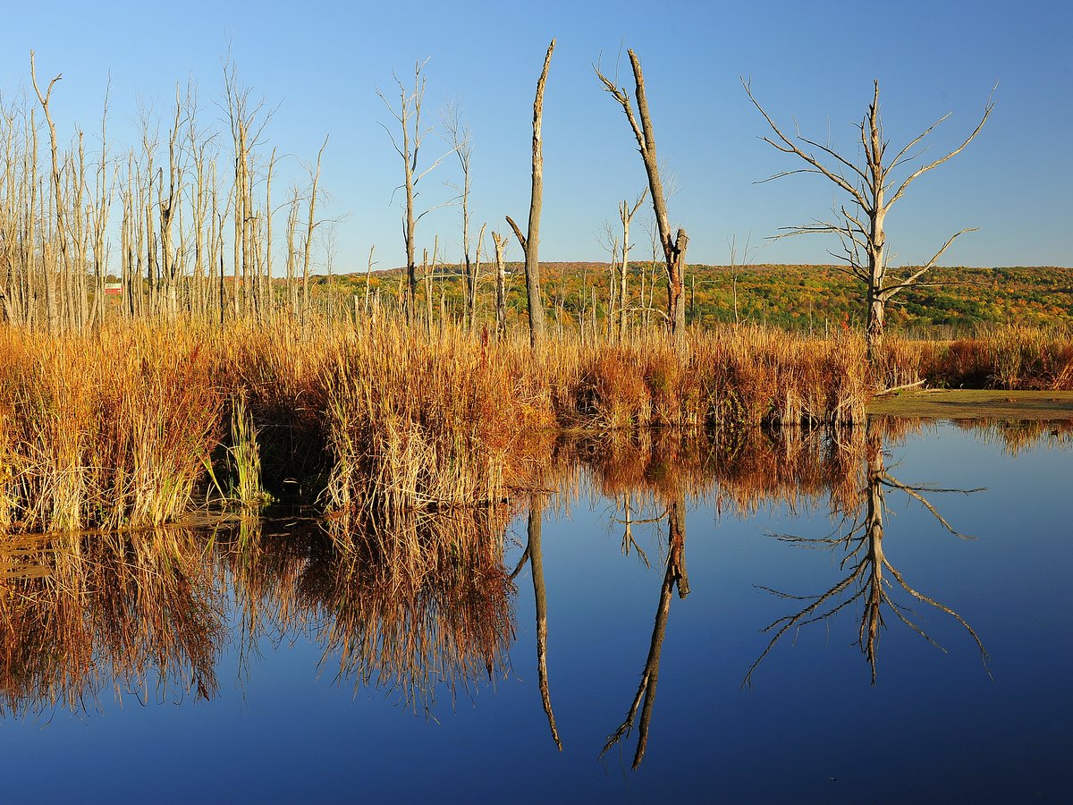
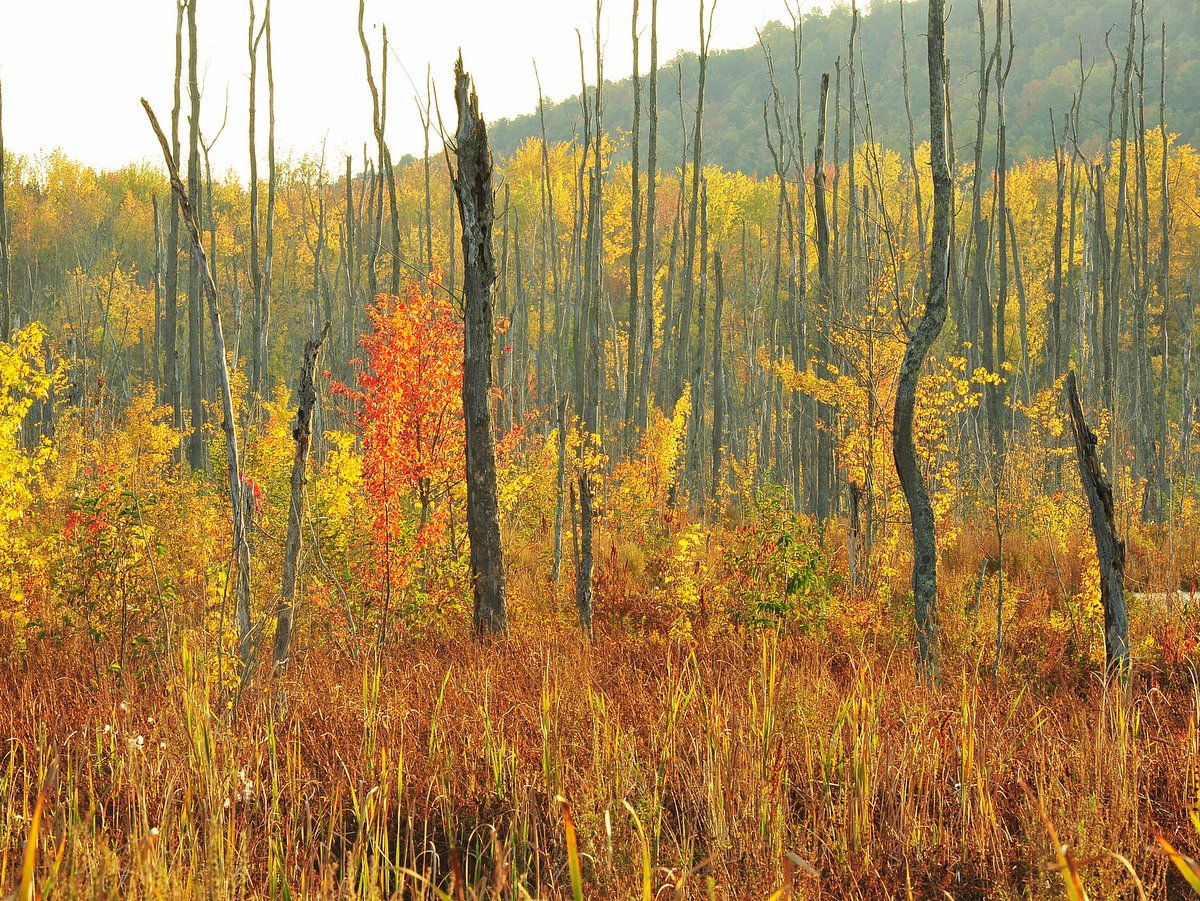
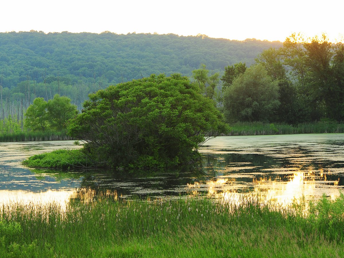
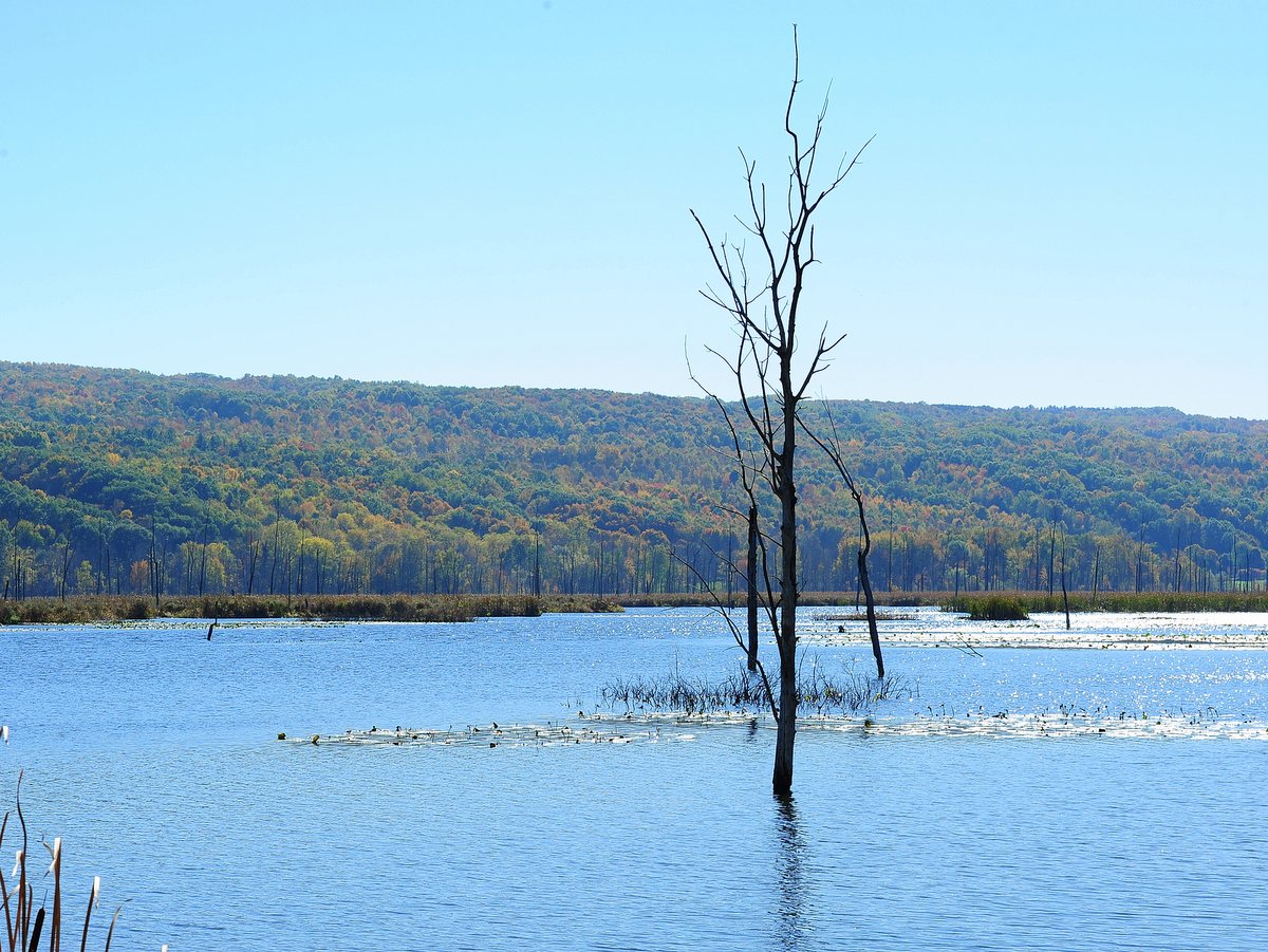
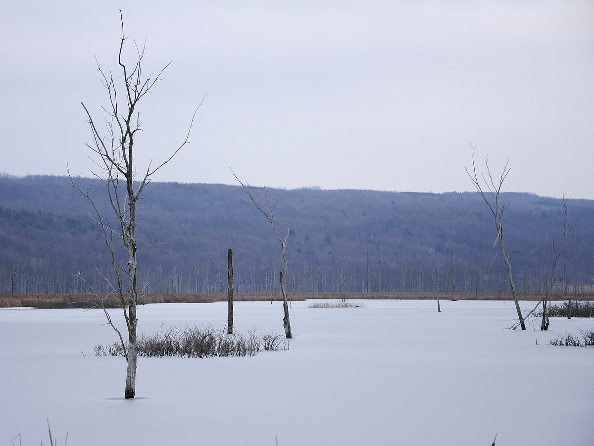
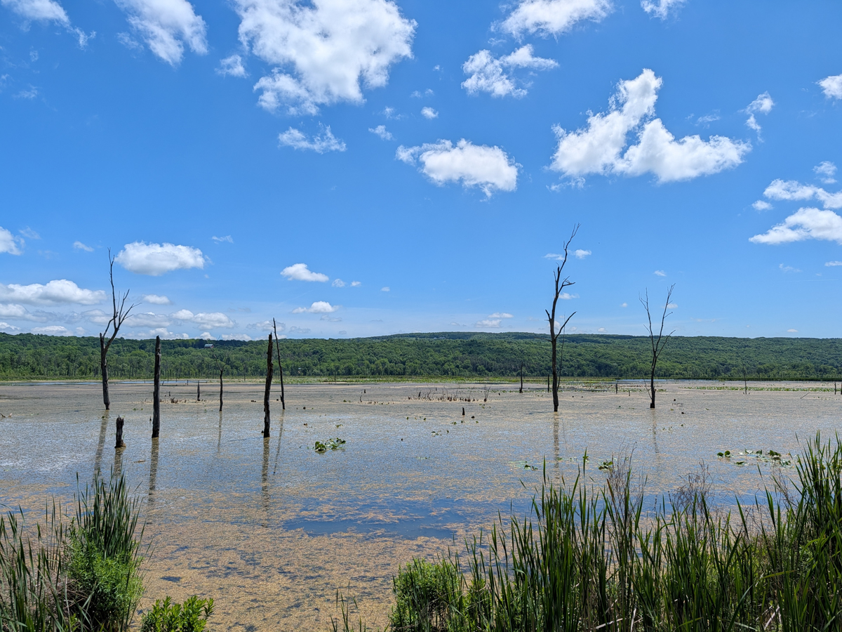
The Conesus Inlet Wildlife Management Area is 1,131 acres of broad, flat floodplain nestled between two glacially steepened hillsides. The wildlife area is divided into two major sections: the inlet side north of Sliker Hill Road, and the lagoon side south of Sliker Hill Road. There is a parking area and car-top boat launch to access the lake off West Lake Road north of Sliker Hill Rd, while south of the road is a man-made lagoon as well as the majority of trails. Note, there is only one actual trail, the Nature Trail, but several maintenance roads and berms can be followed to more fully explore the area.
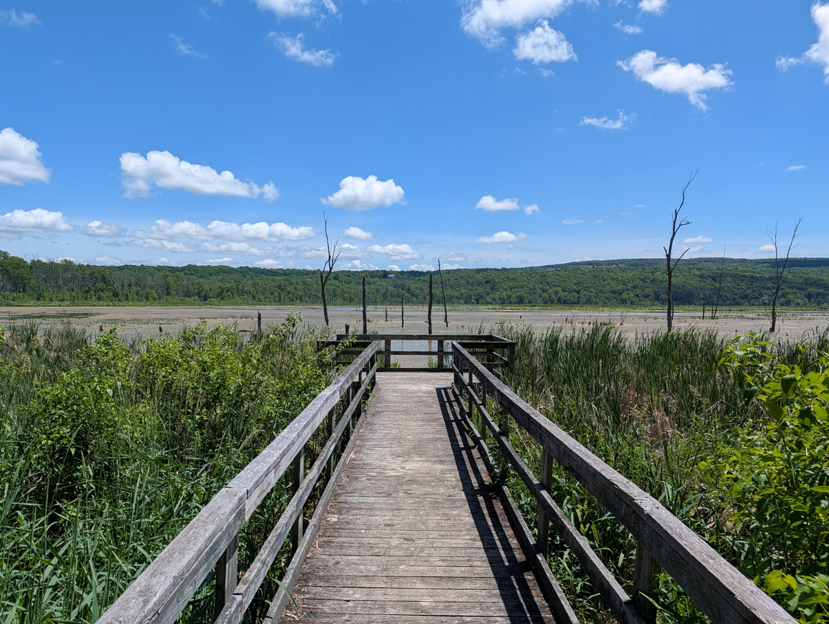
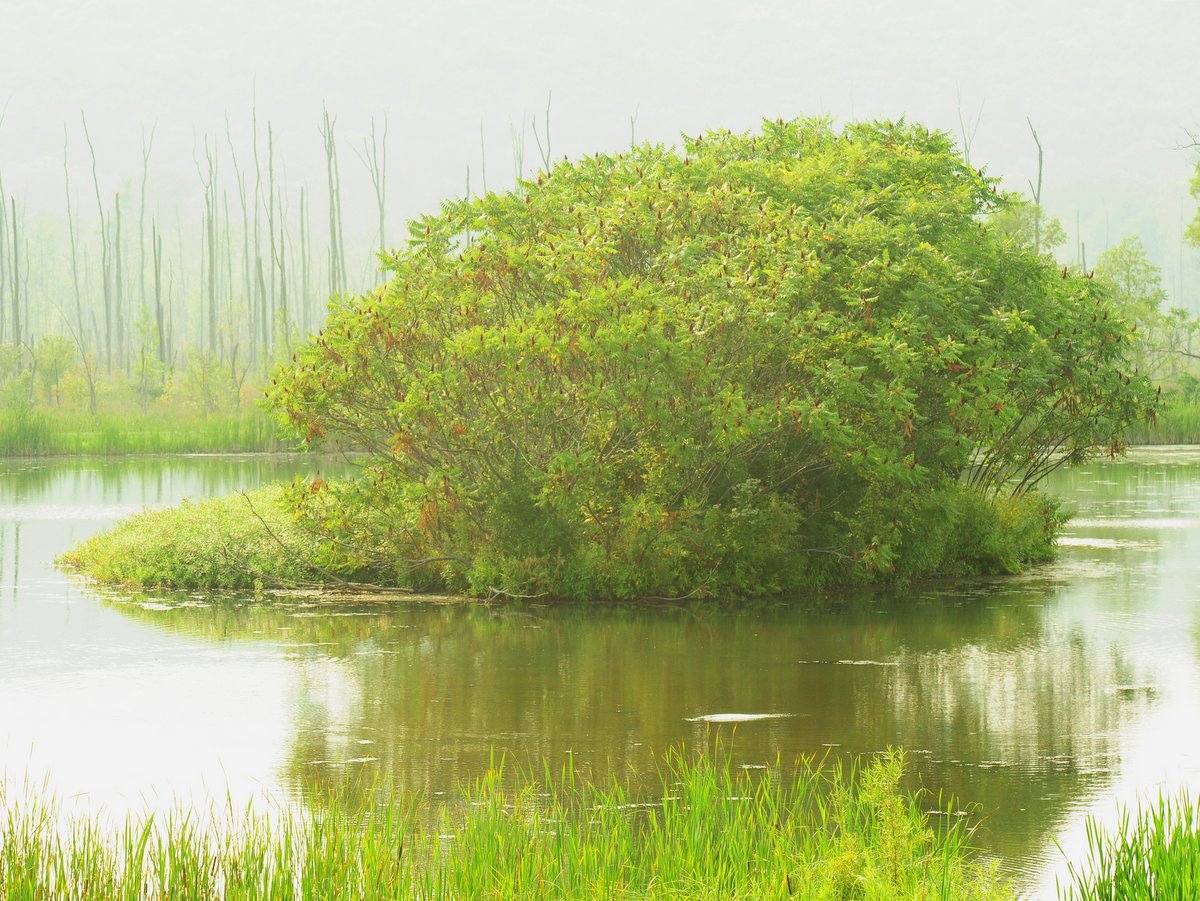
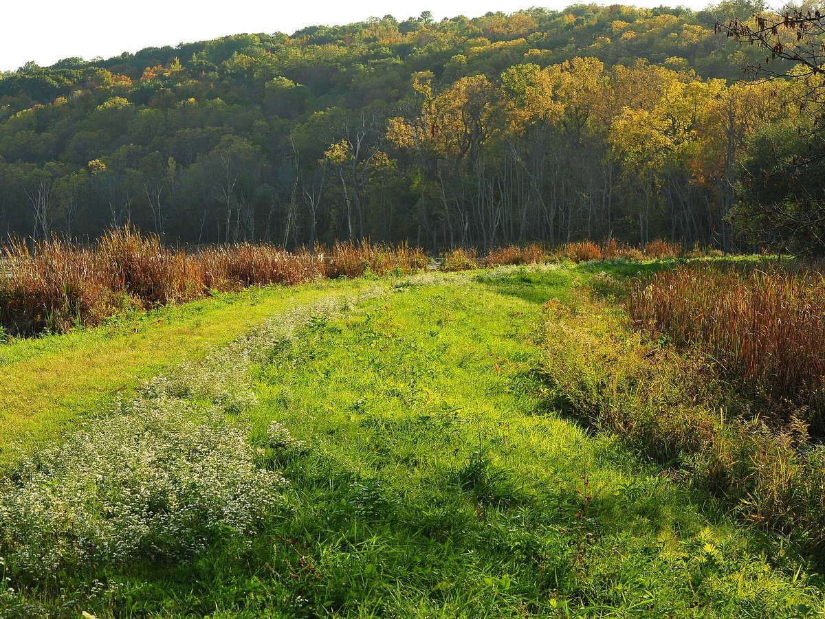
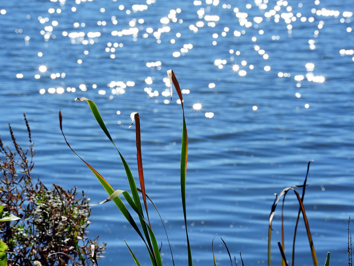
The roughly mile-long Nature Trail hugs the northwest corner of the lagoon and is unmarked. Worn footpaths are discernible in the shaded areas, while mowed swaths through thick grass mark the easiest path through the open glades. A trio of viewing platforms dot the shore along the Nature Trail, but the worn footpaths that lead to them are not marked.
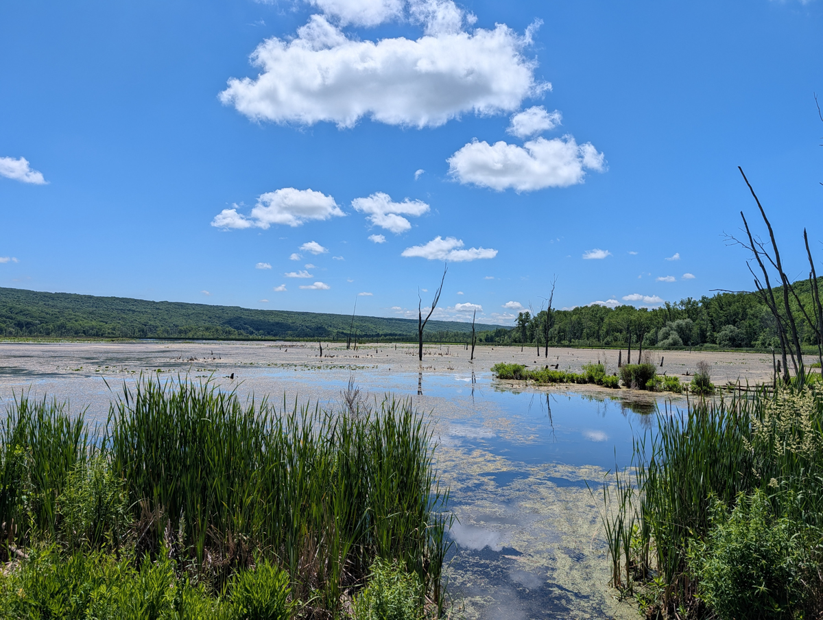
Swamp hardwoods tower over and shade the trail, but along the northern end of the lagoon, you can walk atop the man-made berm out in the open and within feet of the water. The berm is more directly accessed from the parking area along Sliker Hill Road where a handrail-lined path follows the inlet to a spot that is ideal for viewing the previously mentioned spawning. Further along the berm, where there is a break in the impoundment, is another spot known for its good view. The paths are flat, occasionally wet, and best enjoyed at slow stroll to increase the chances of spotting the abundant wildlife.
Boats with motors are not allowed on the lagoon, but a 300-yard portage is all that separates paddlers from the placid and tranquil inlet and wetland open waters. Additional parking can be found at regular intervals along the boundary of the wildlife area and provides access to the more remote parts.