Photo: Nigel Kent

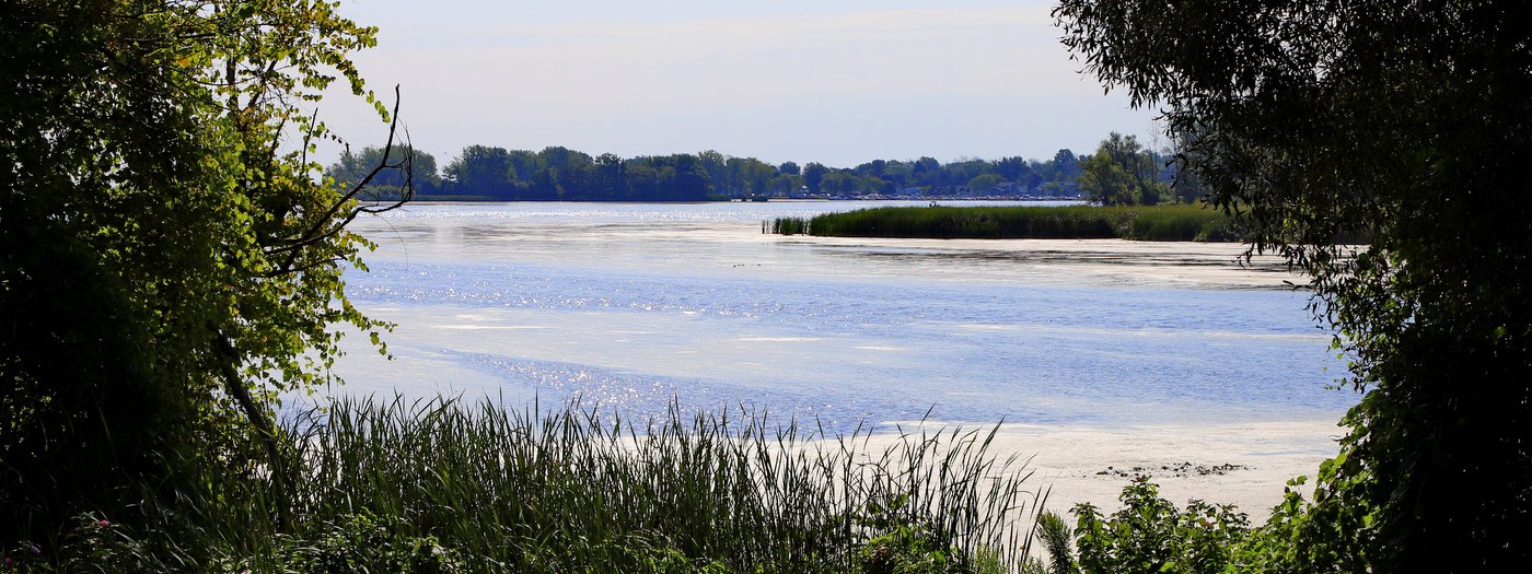
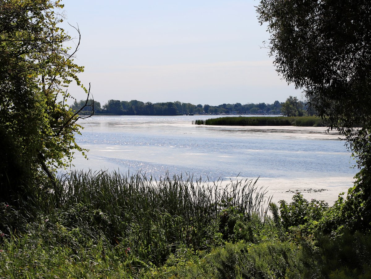
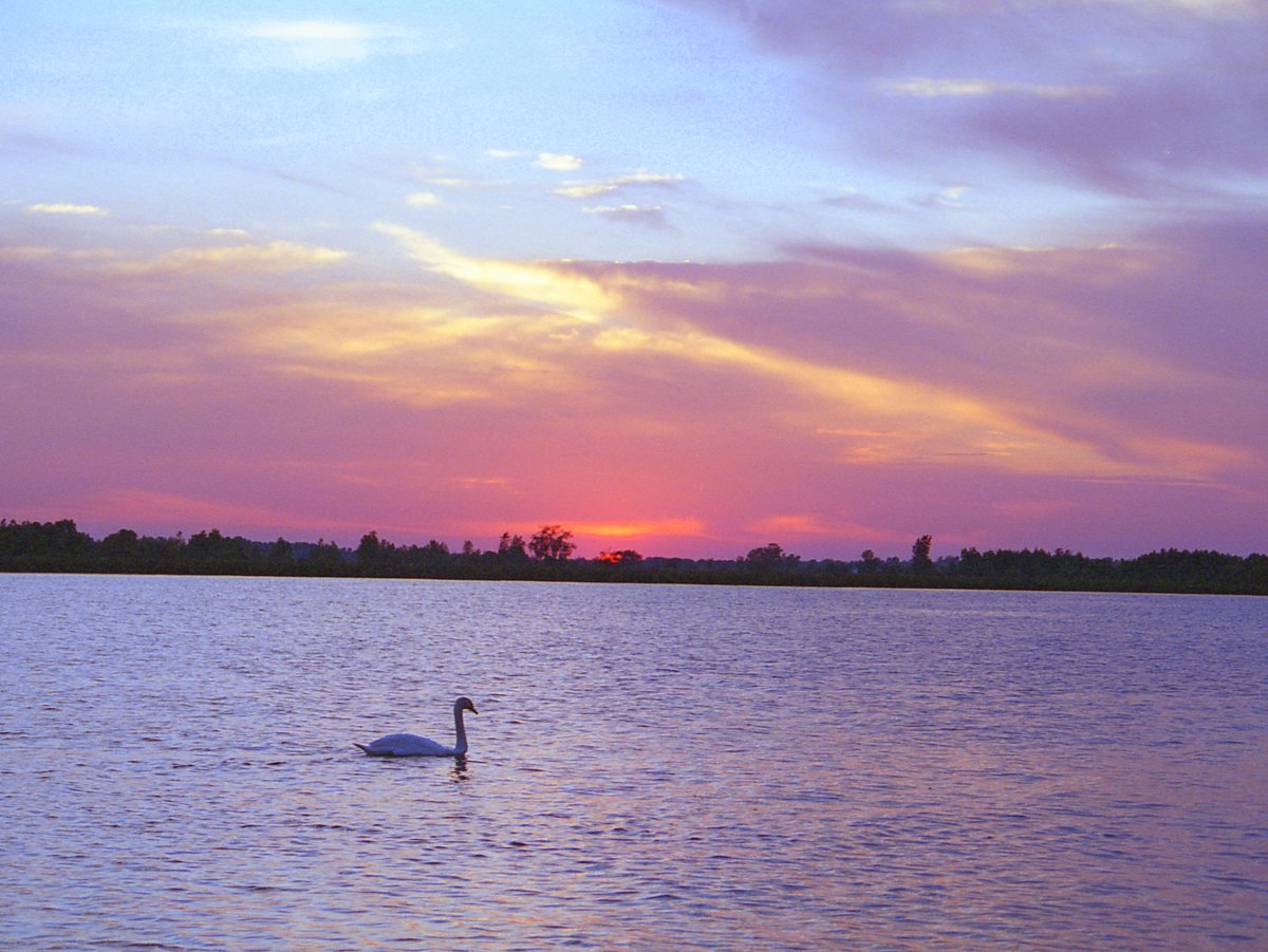
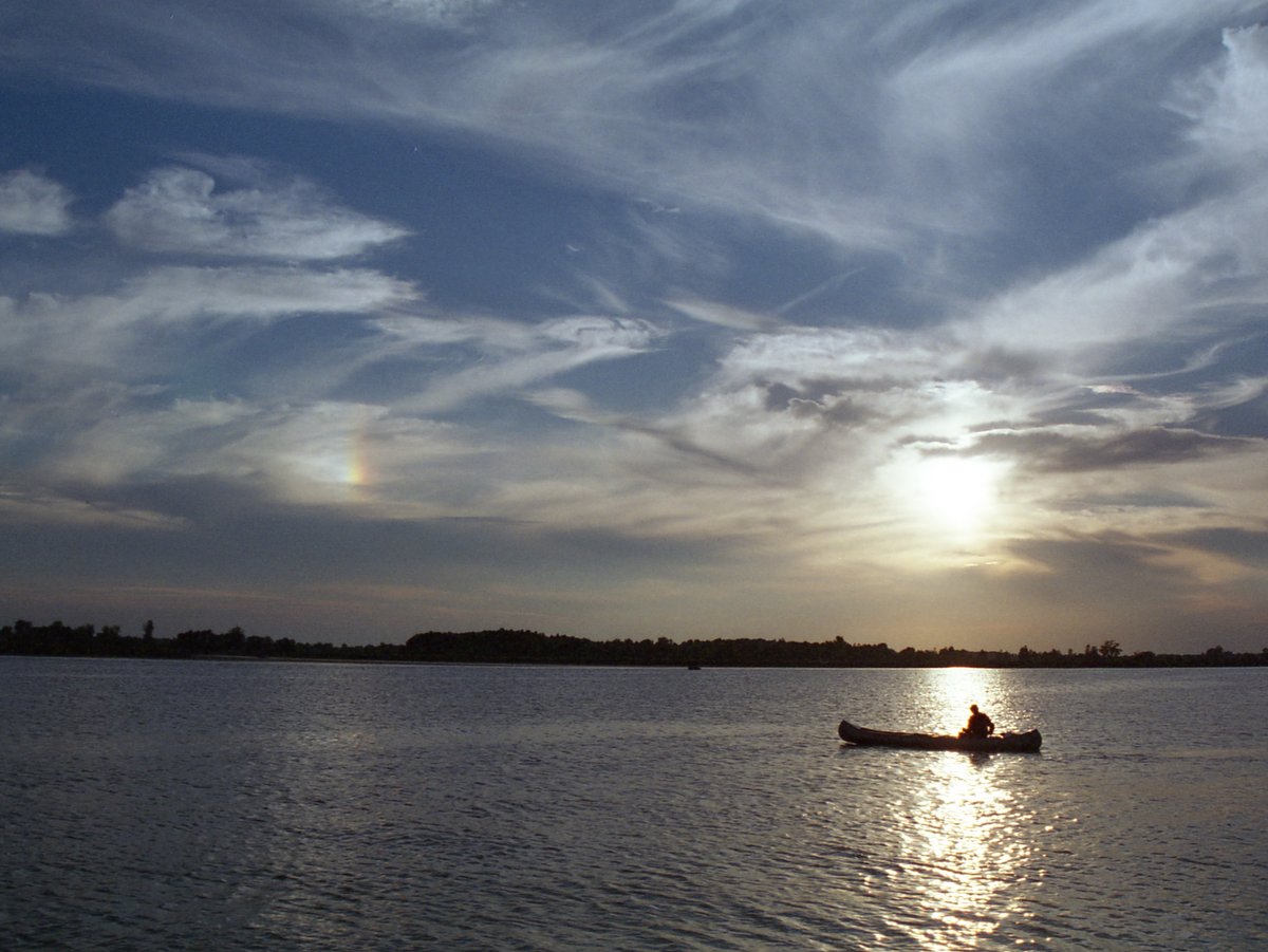
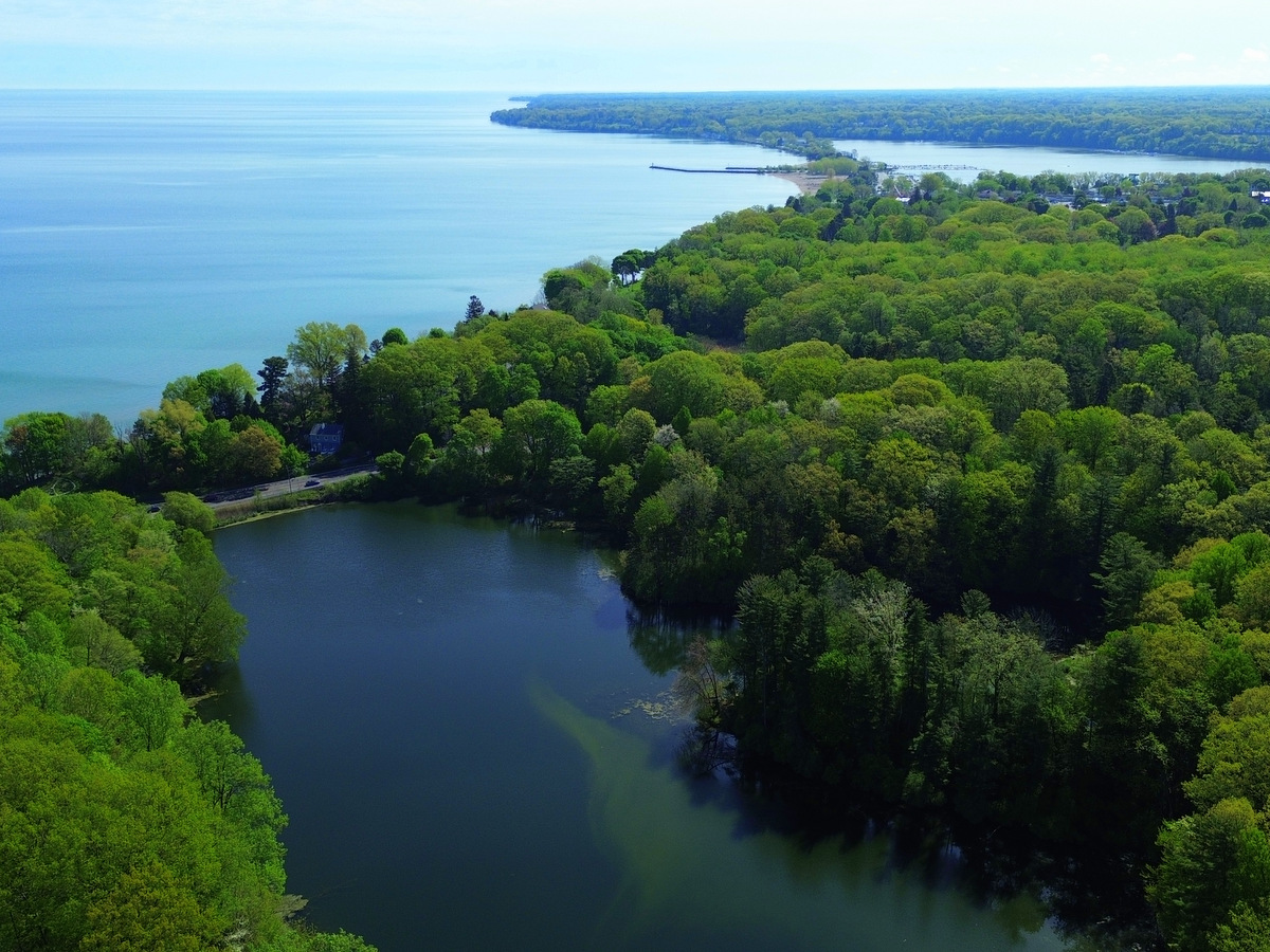
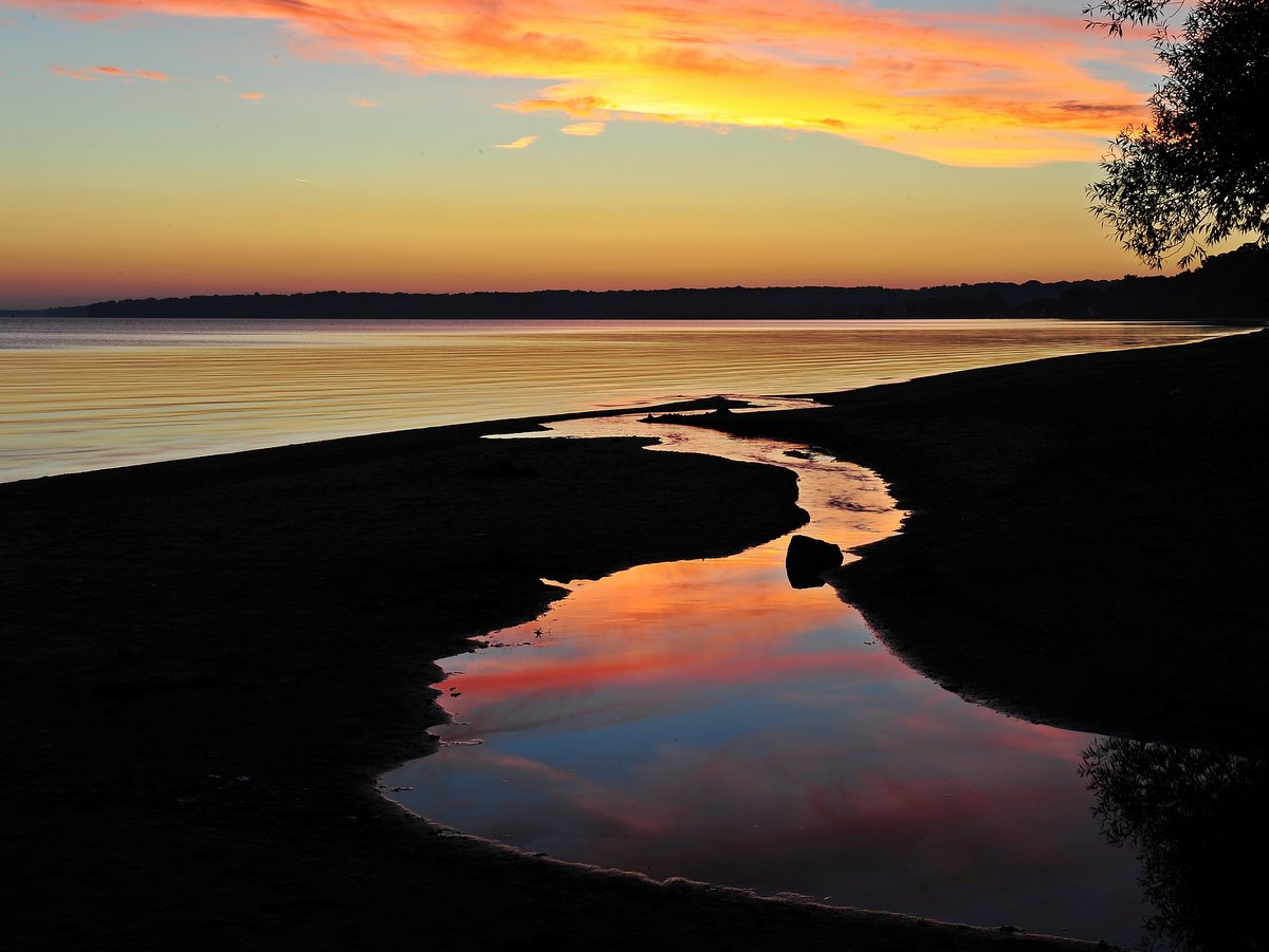
Like many New York State Parks, Fair Haven Beach is an ideal spot for families looking to sample a variety of activities rolled into one package. Hiking, camping, swimming, and paddling are all on the list, but of course, the main draw here is Lake Ontario and its ocean-like setting. Looking out on the vast Great Lake with sailboats shrinking along the seemingly endless horizon, it is easy to forget you are still in the Finger Lakes and not along the coast somewhere.

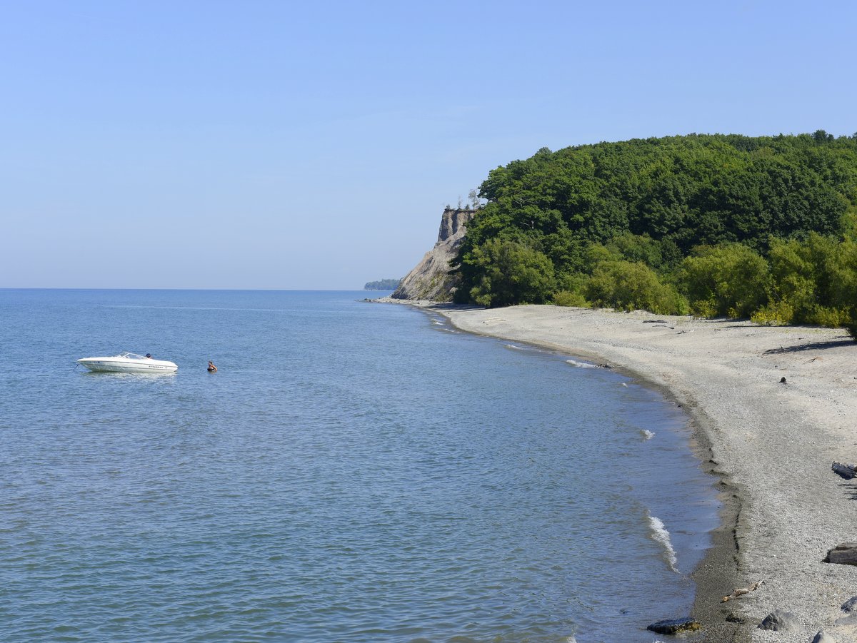
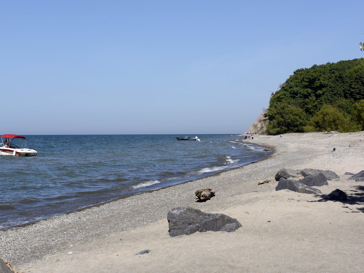
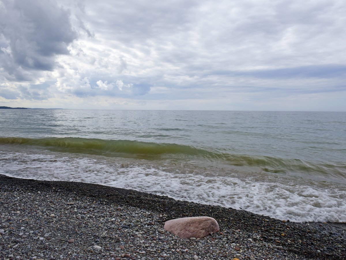
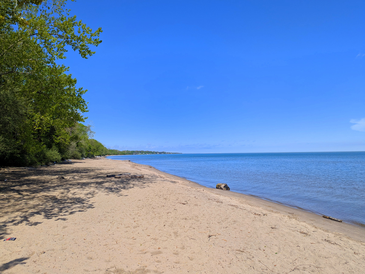
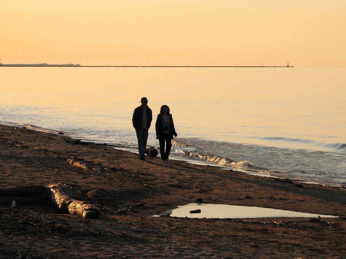
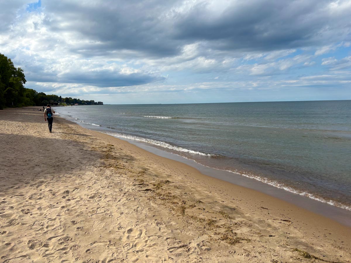
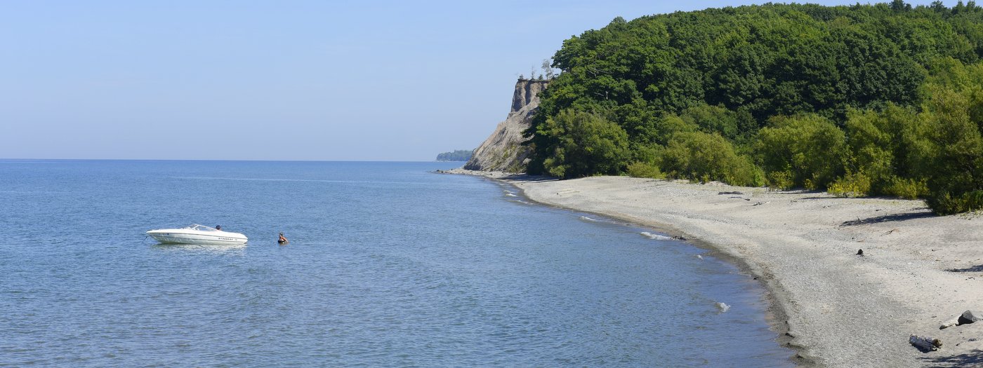
From Memorial Day through the first weekend in September, the primary activity here is the beach. Like many along the shores of Lake Ontario, the beach is a mixture of round gravel, pea-sized pebbles, and sand. The 1,500 feet of swimming beach is almost entirely sand and an obvious draw for beachgoers. The water’s depth drops quickly to knee height but then increases very slowly over a great distance. It’s ideal for children to splash around in, but adults will have to wade out quite a ways before attempting to submerge. There are two beach sections: the smaller western beach that includes 500 feet of guarded swimming area, and the larger eastern section. They are divided by Sterling Pond’s outlet but connected by an arched footbridge. Each has a restroom and washroom and the western section has a playground, pavilion, outdoor showers, concessions, and newly constructed boardwalks to help protect the sand dunes. More active than the eastern beach, the western section is adjacent to Sodus Bay and has tie-ups for large boats.

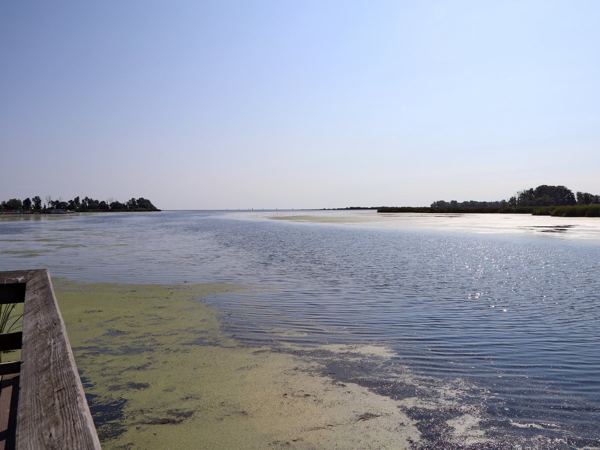
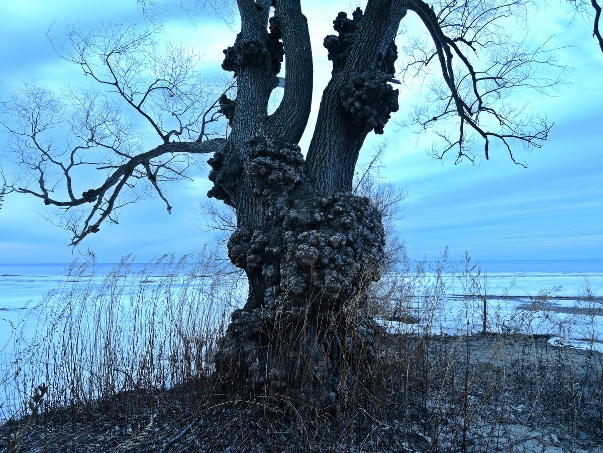
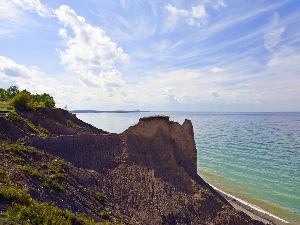
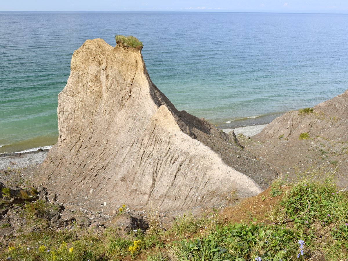
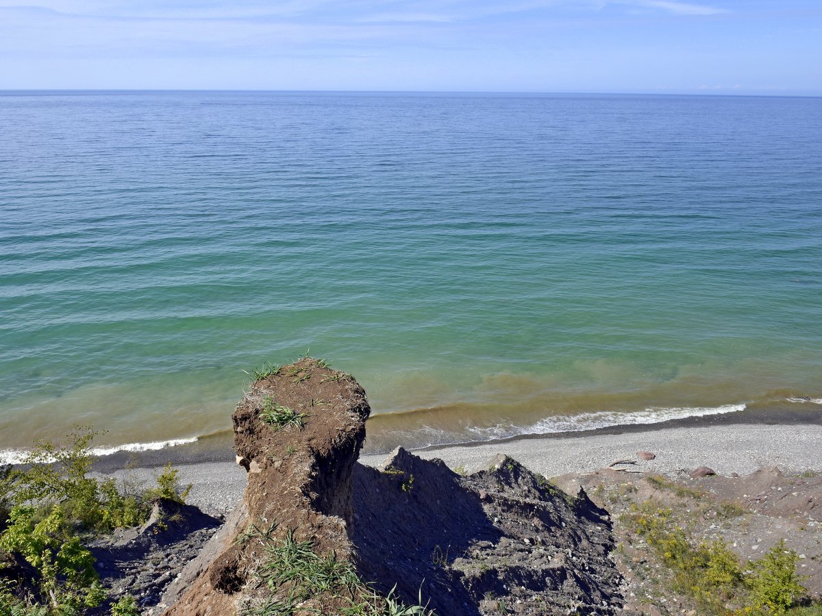
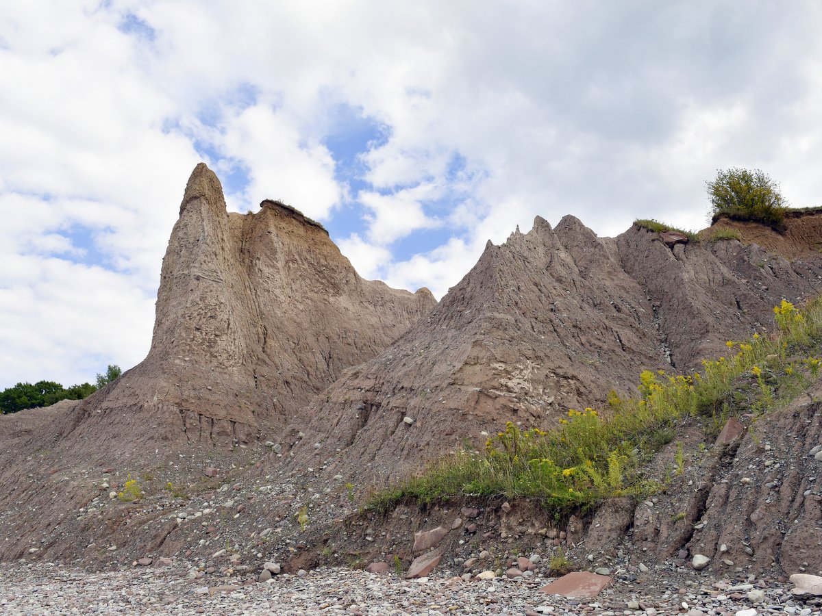
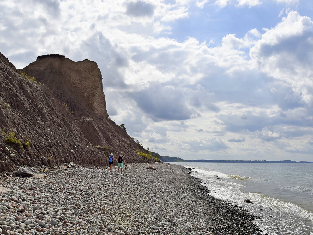
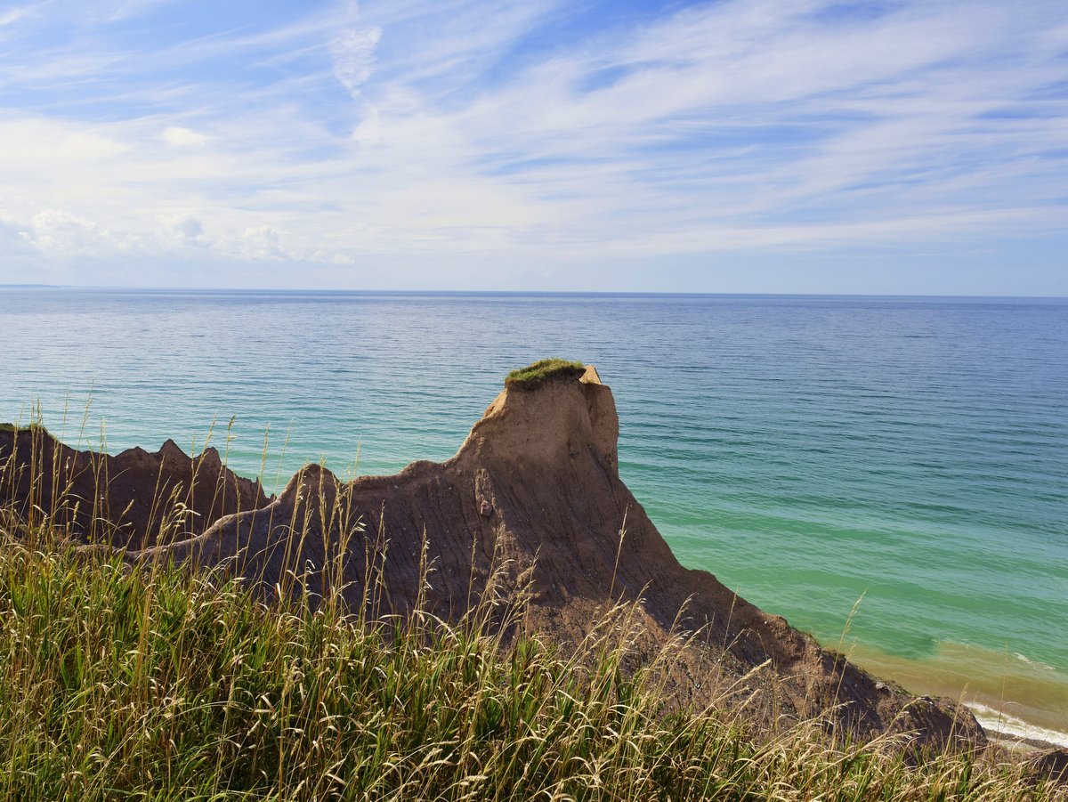
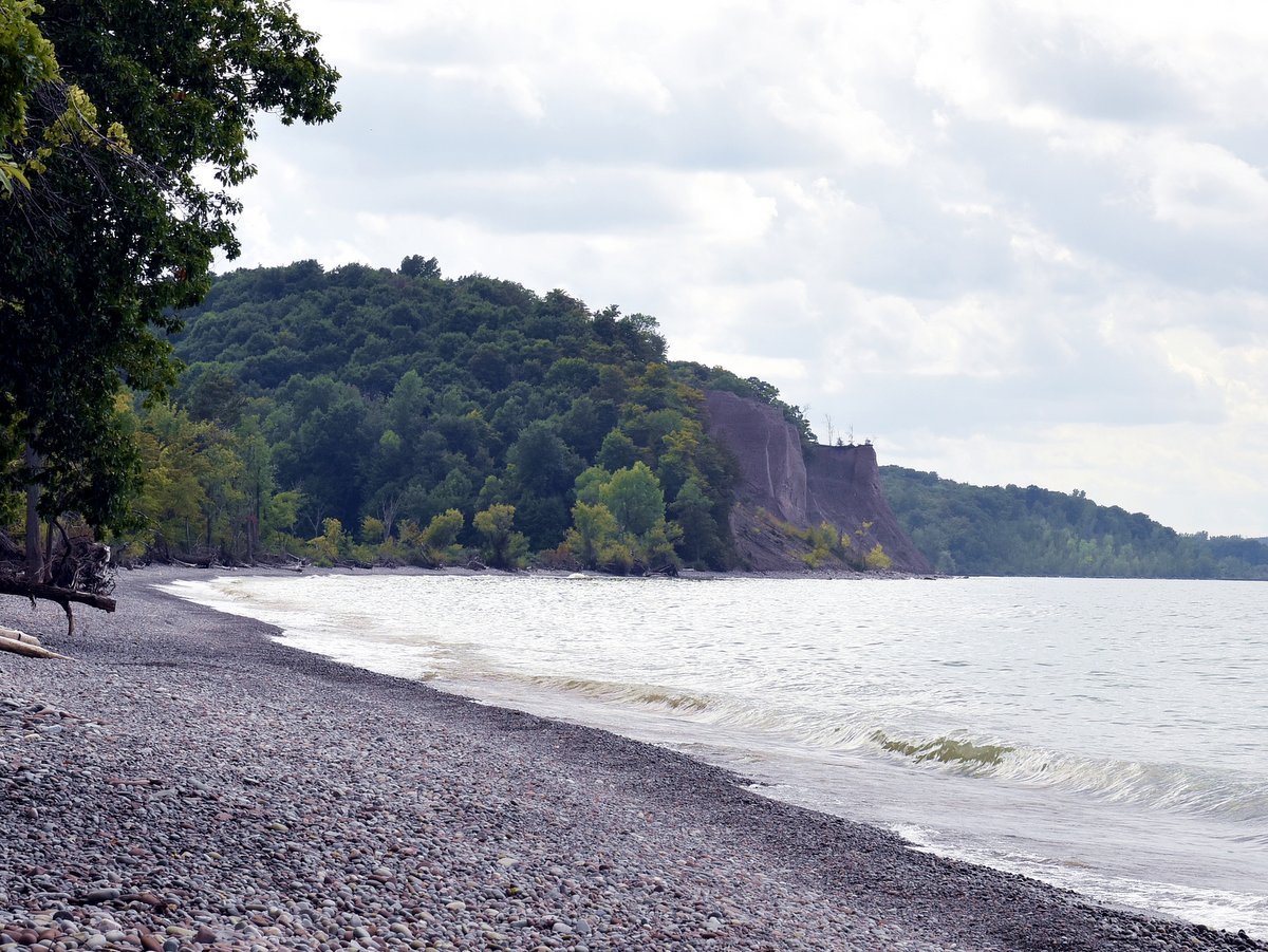
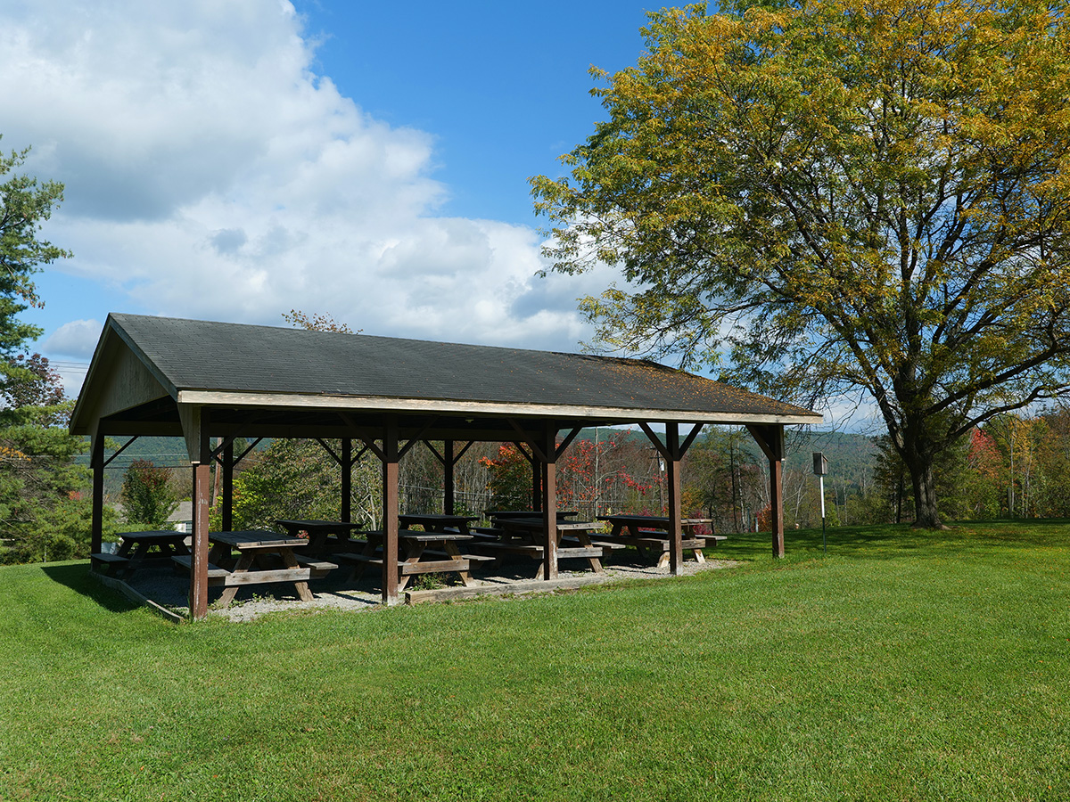
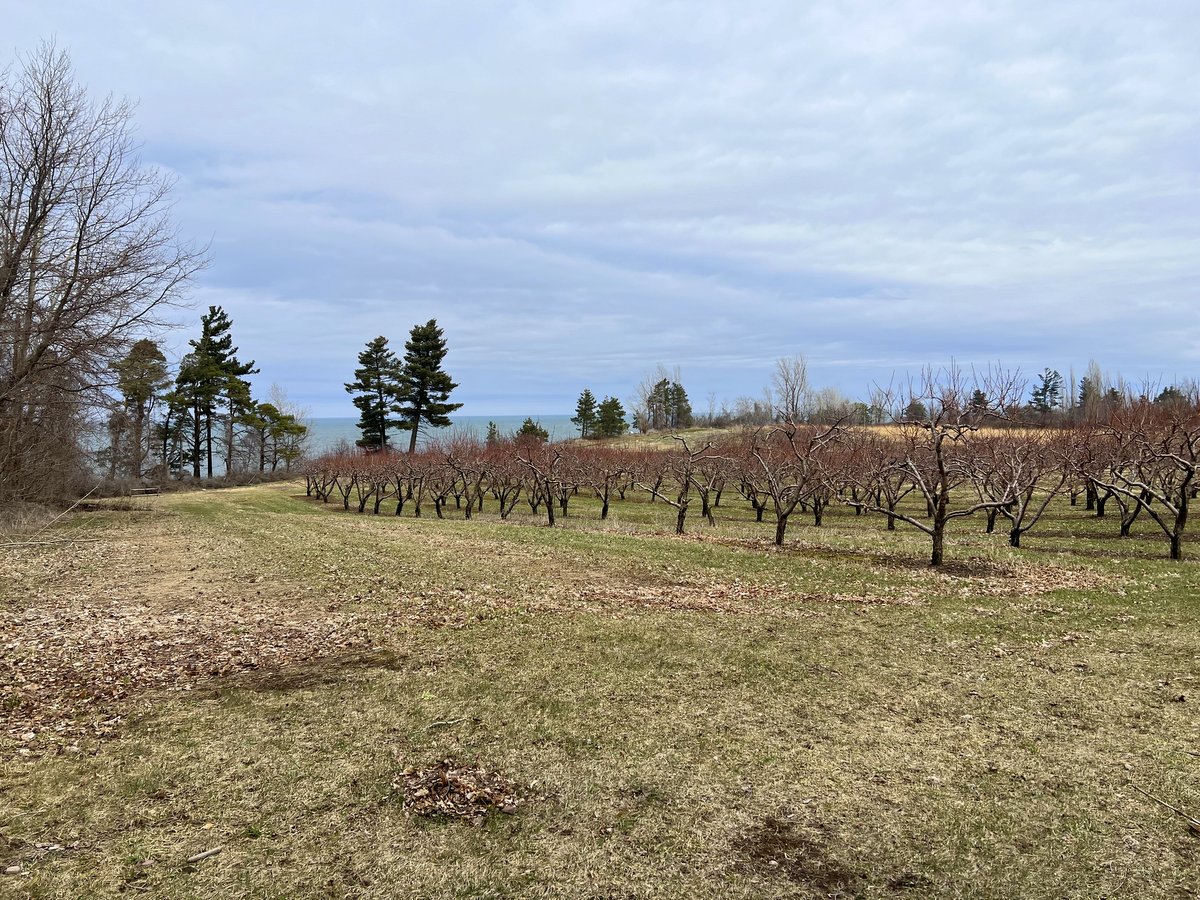
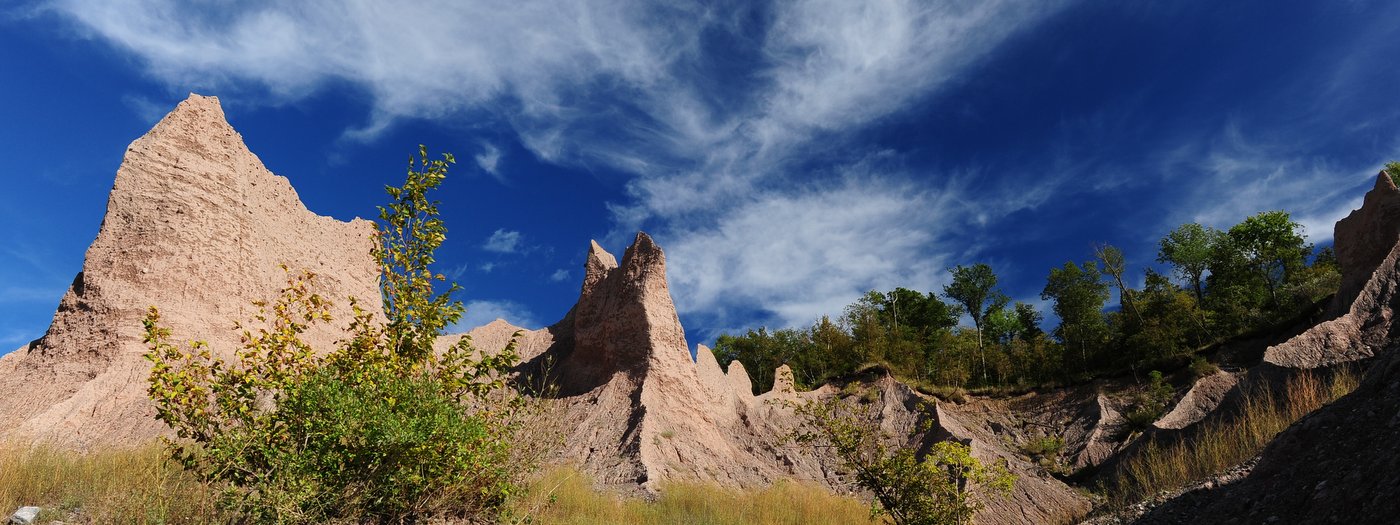
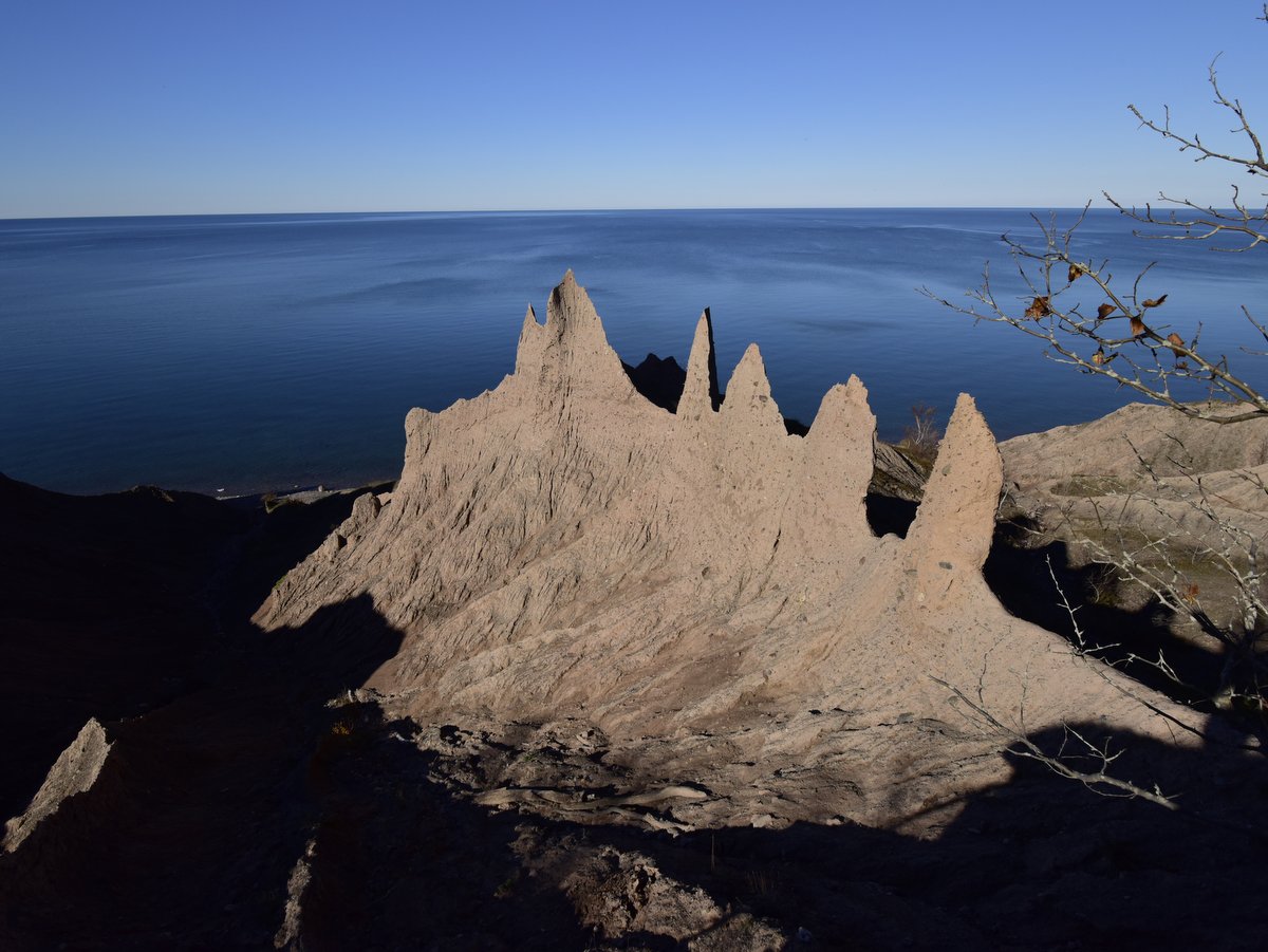
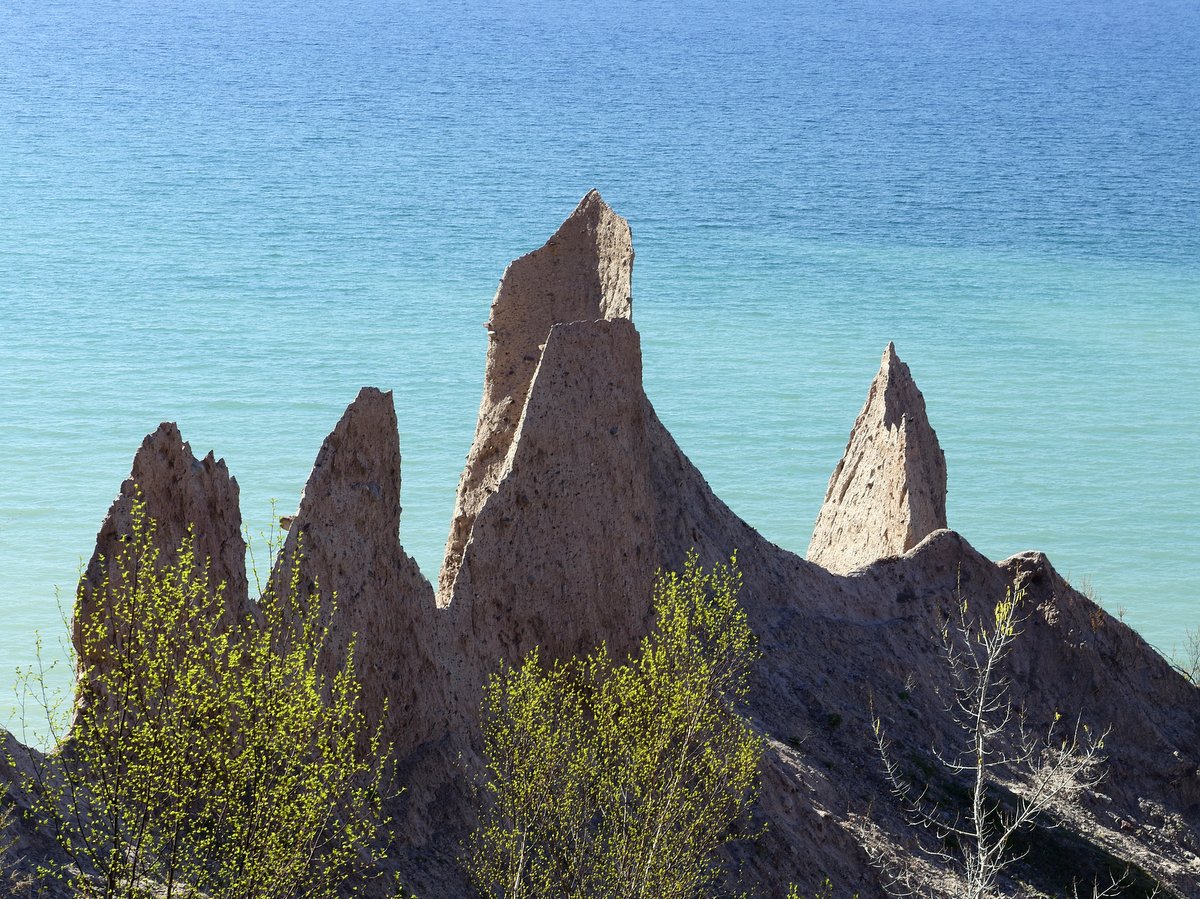
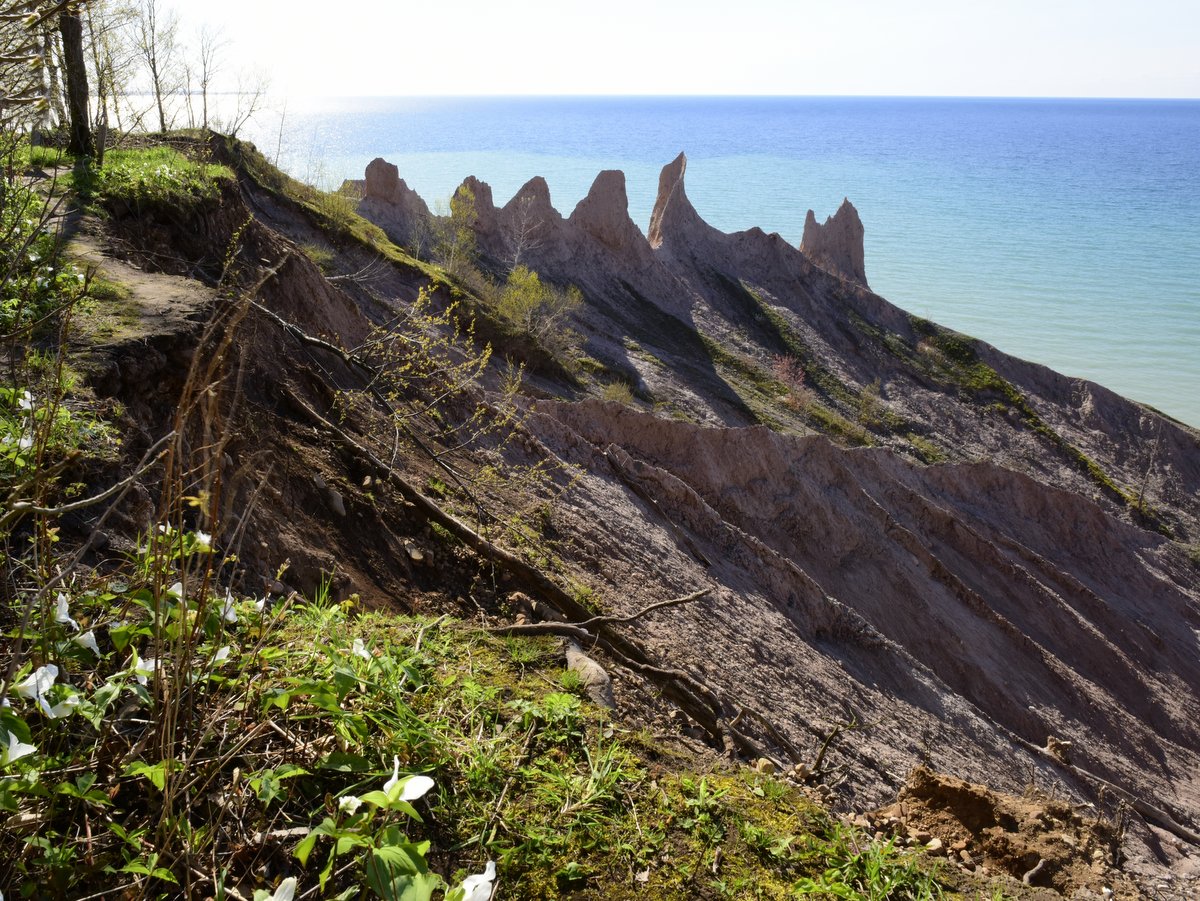
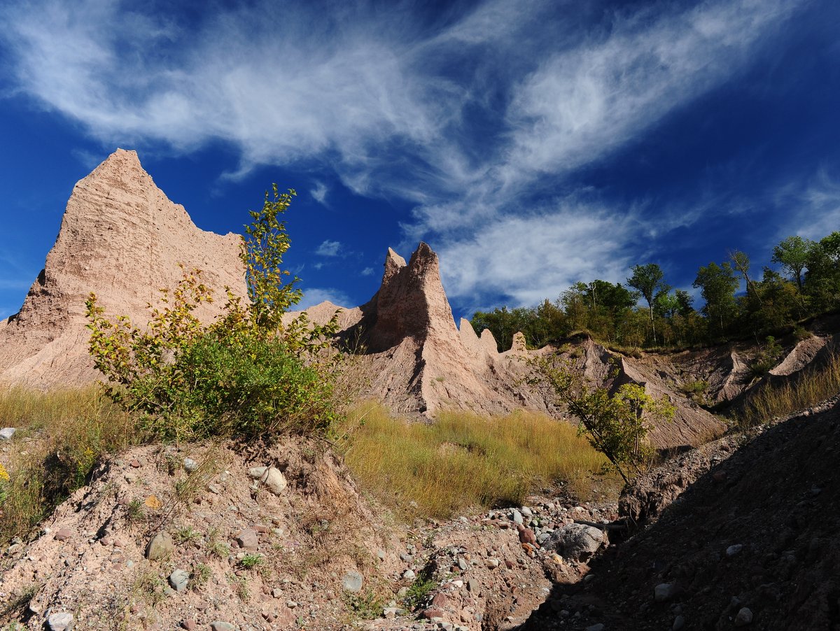
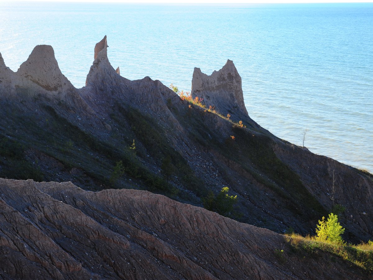
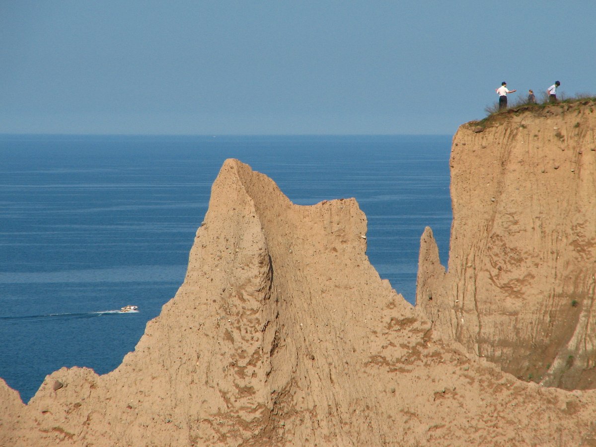
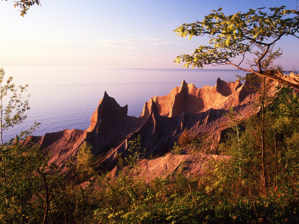
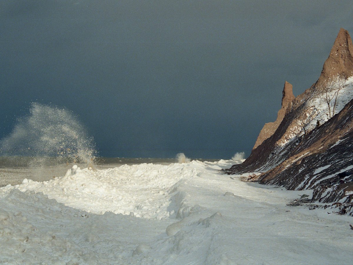
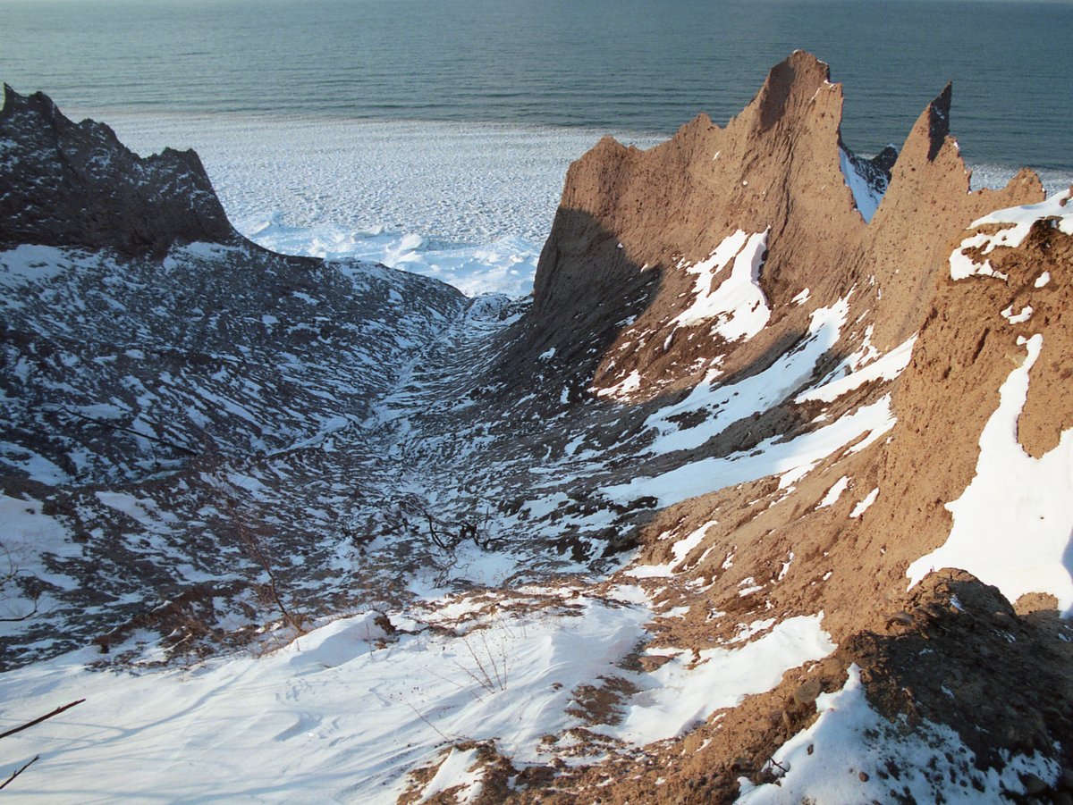
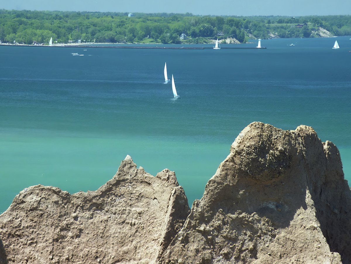
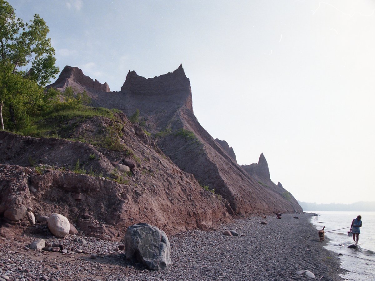
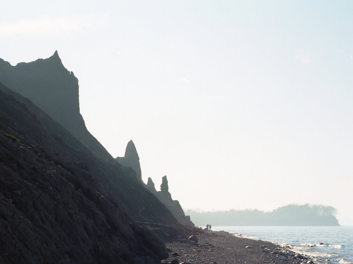
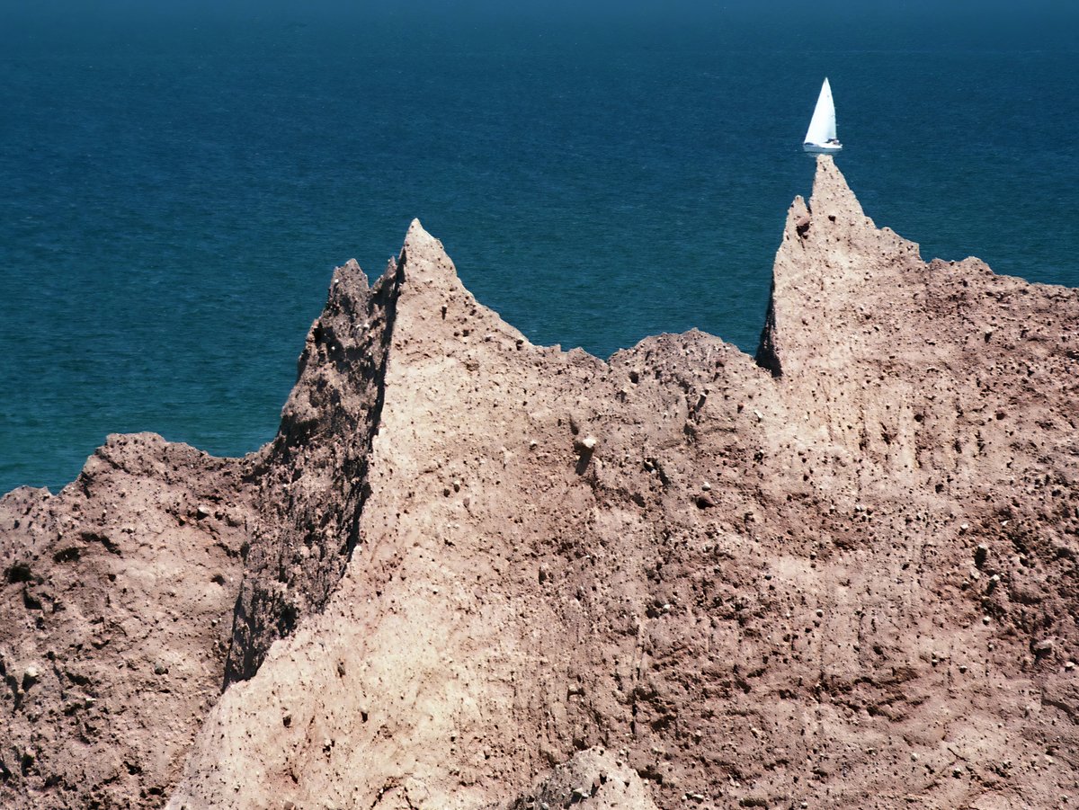
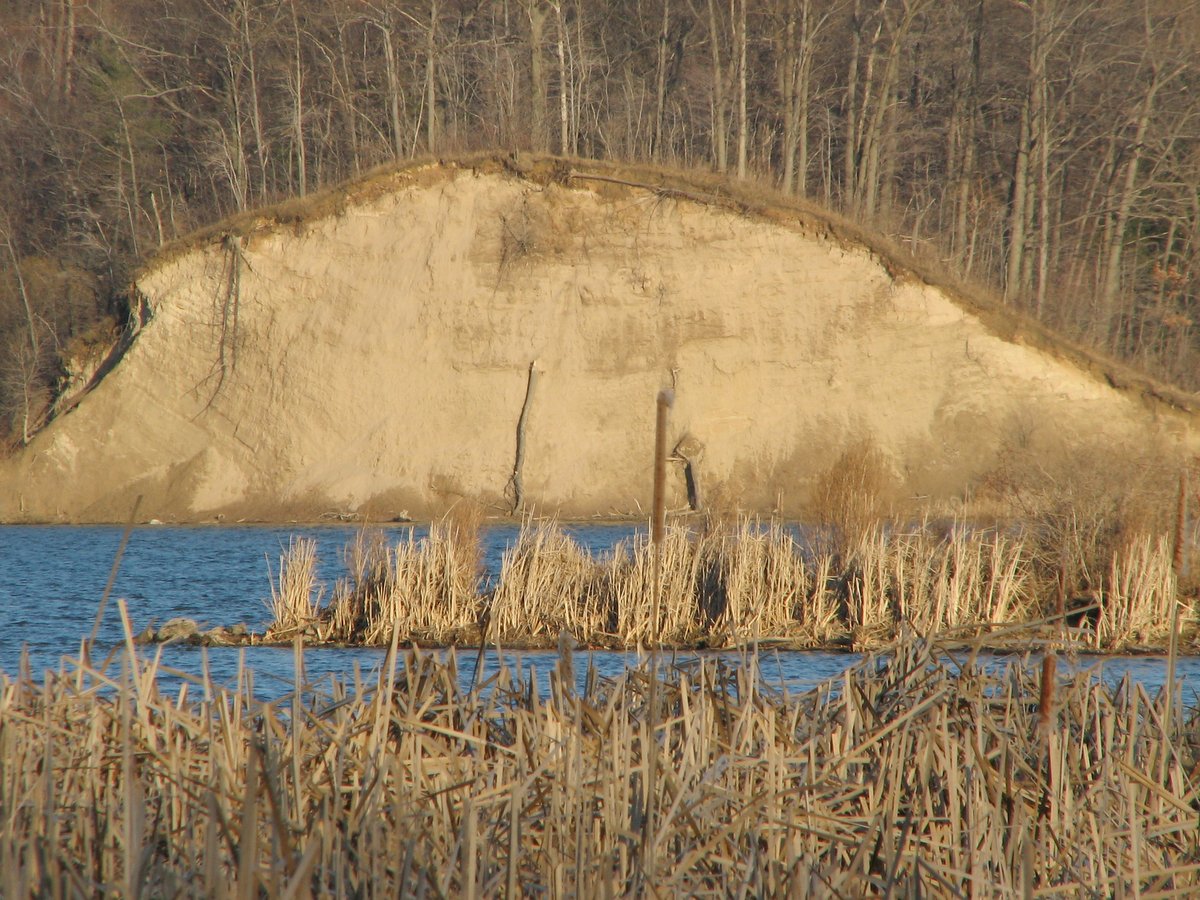
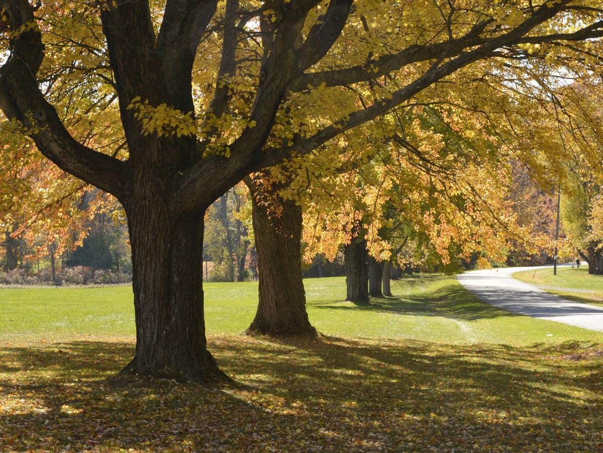
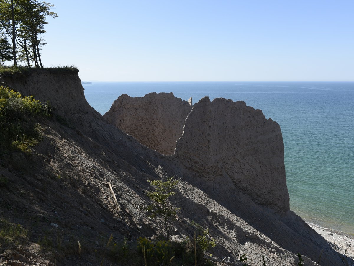
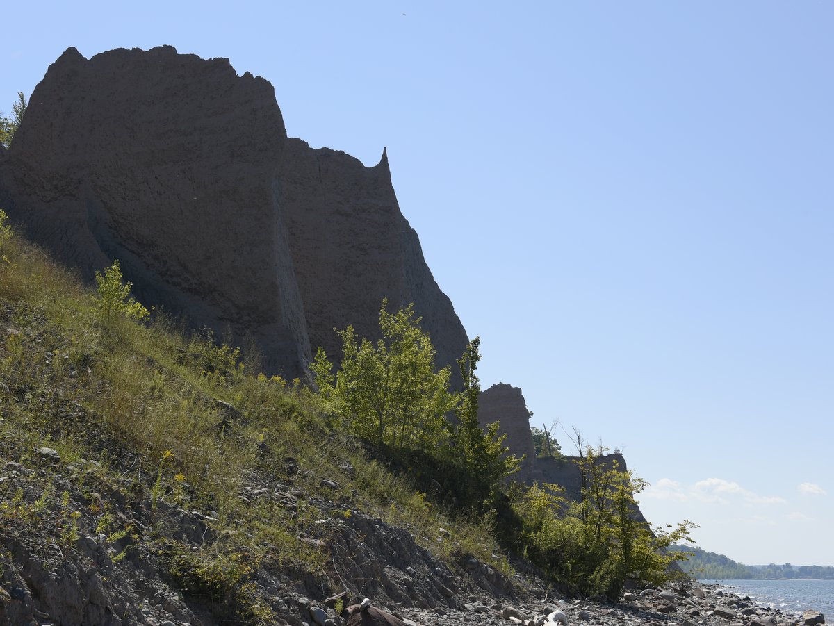
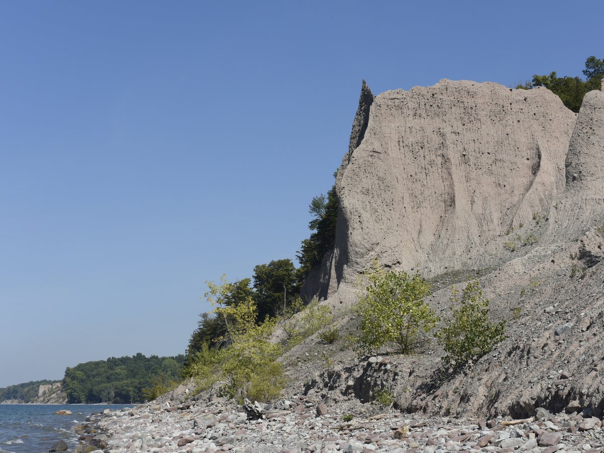
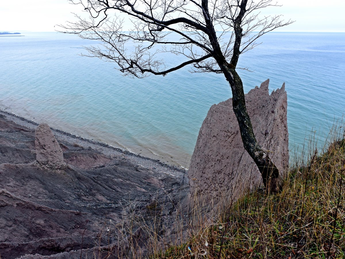
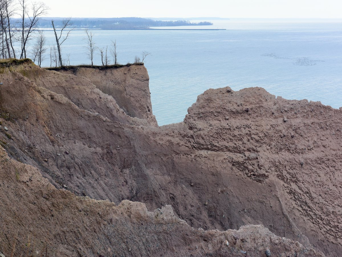
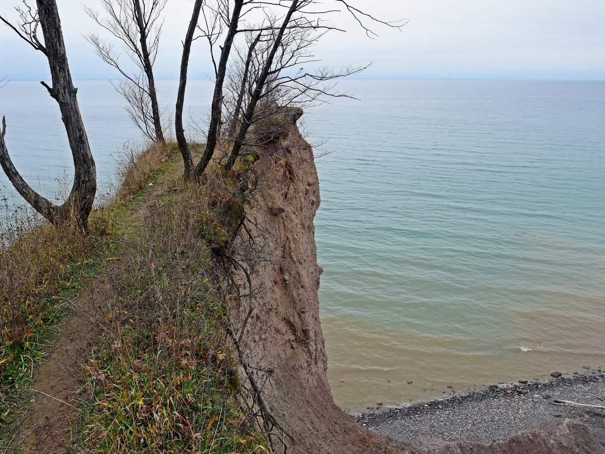
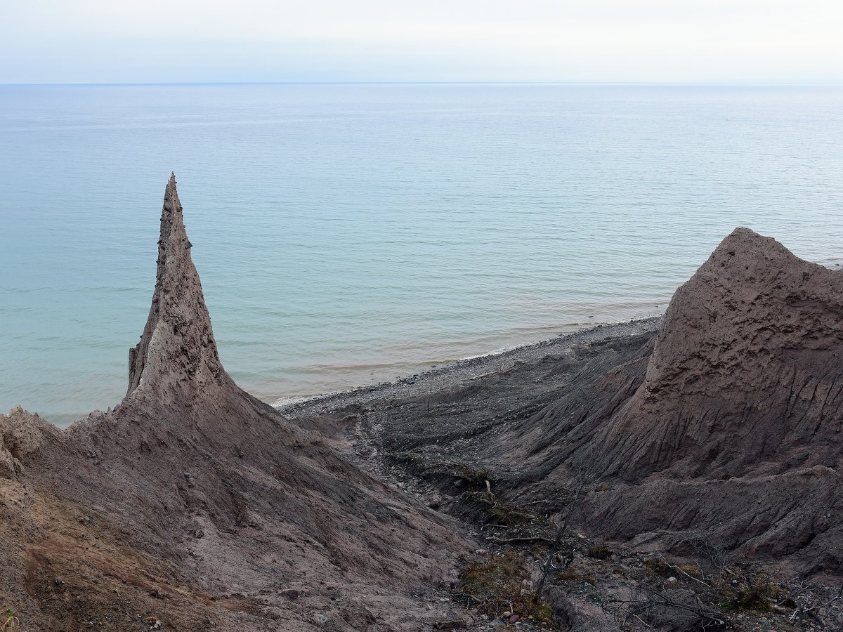
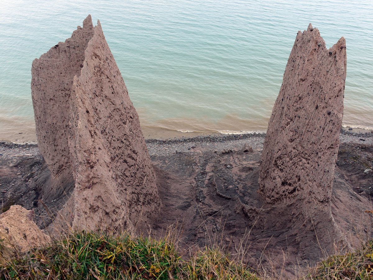
Throughout the park, there are picnic tables and grills, with other beachfront setups further east of the eastern beach. Beyond these shoreline picnic areas are the bluffs, drumlins whose northern edge has been washed away over the centuries by the relentless waves of Lake Ontario. For a more detailed description of this process see Chimney Bluffs State Park. The area between Syracuse and Rochester just south of Lake Ontario is actually a giant drumlin field; estimates are that over 10,000 drumlins are located in the region. A drumlin is a byproduct of giant glaciers that bulldozed and scoured the region nearly flat during the last Ice Age. The same powerful forces that produced the drumlin also produced the sand along the beaches and, practically speaking, the only source of sand for millennia. It is for this reason that the state has begun projects in the park to protect the dunes by trapping the sand on the beaches instead of allowing it to blow inland. If the dunes aren’t protected, the sand will eventually disappear.

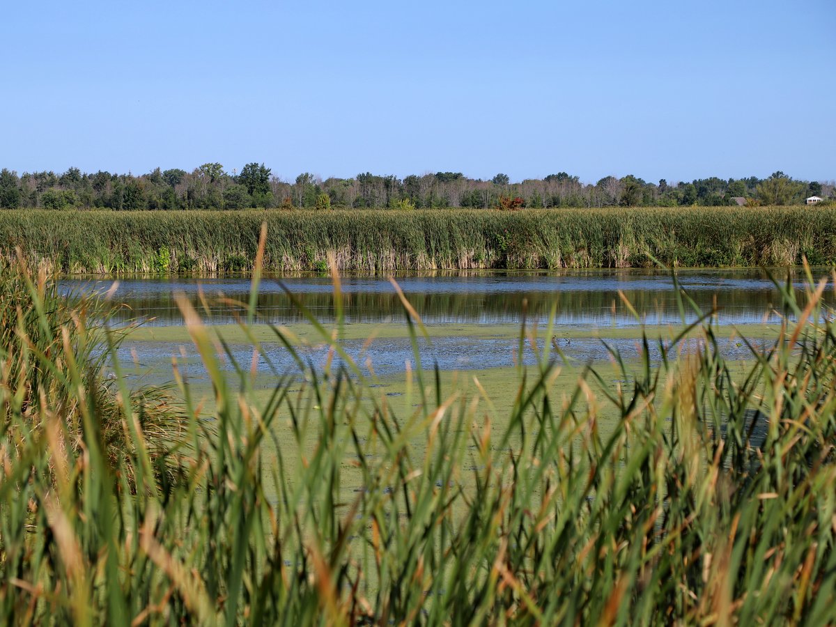
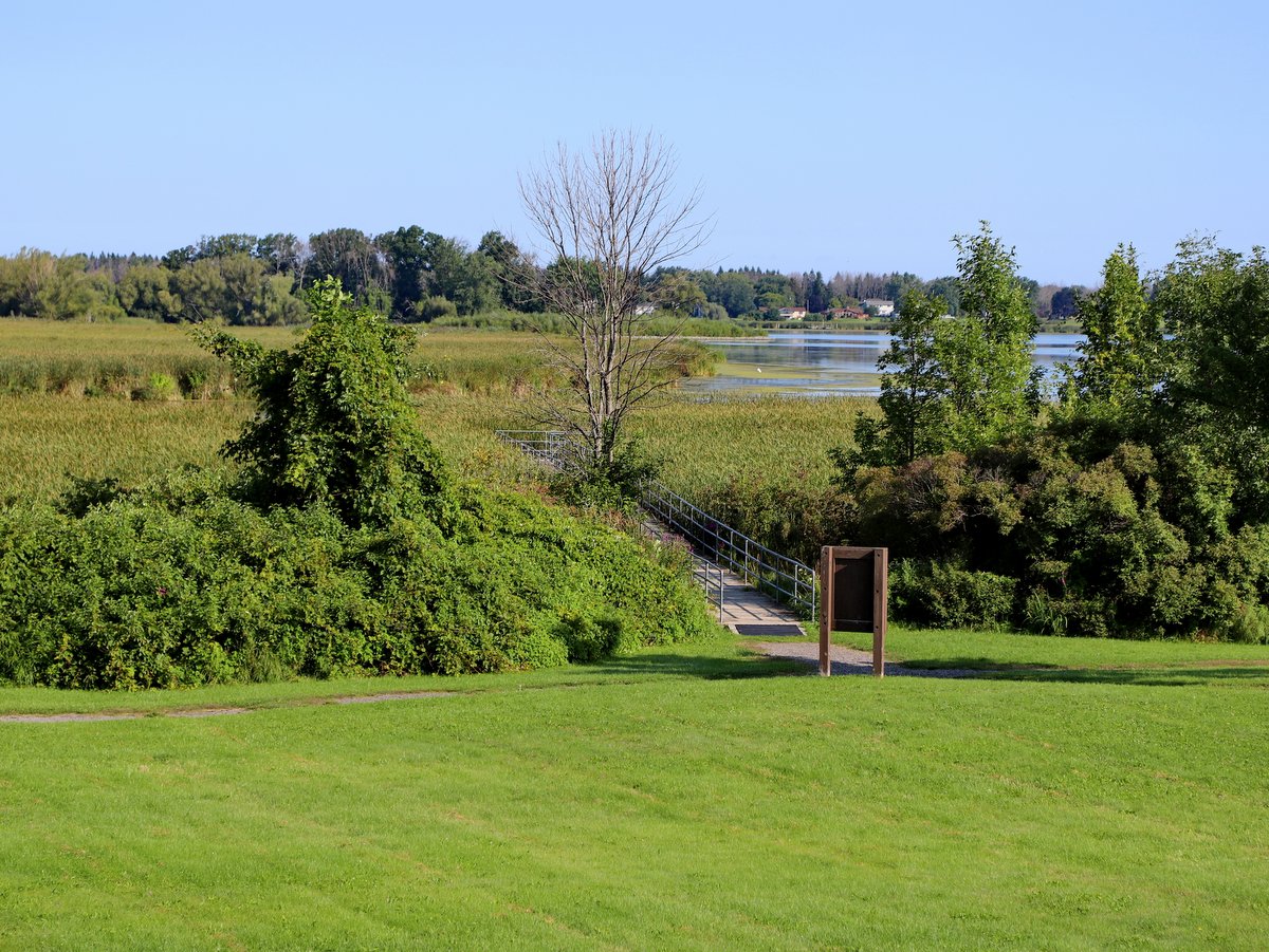
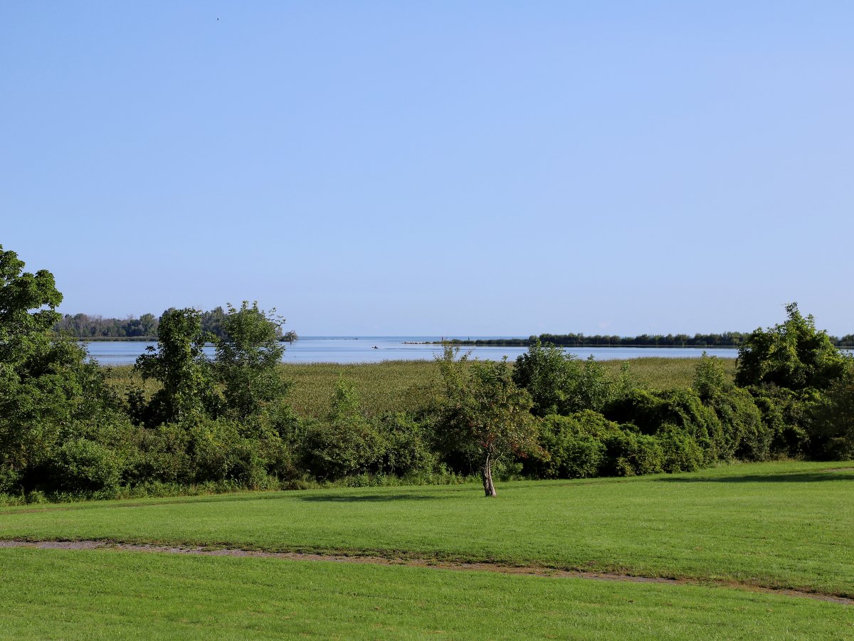
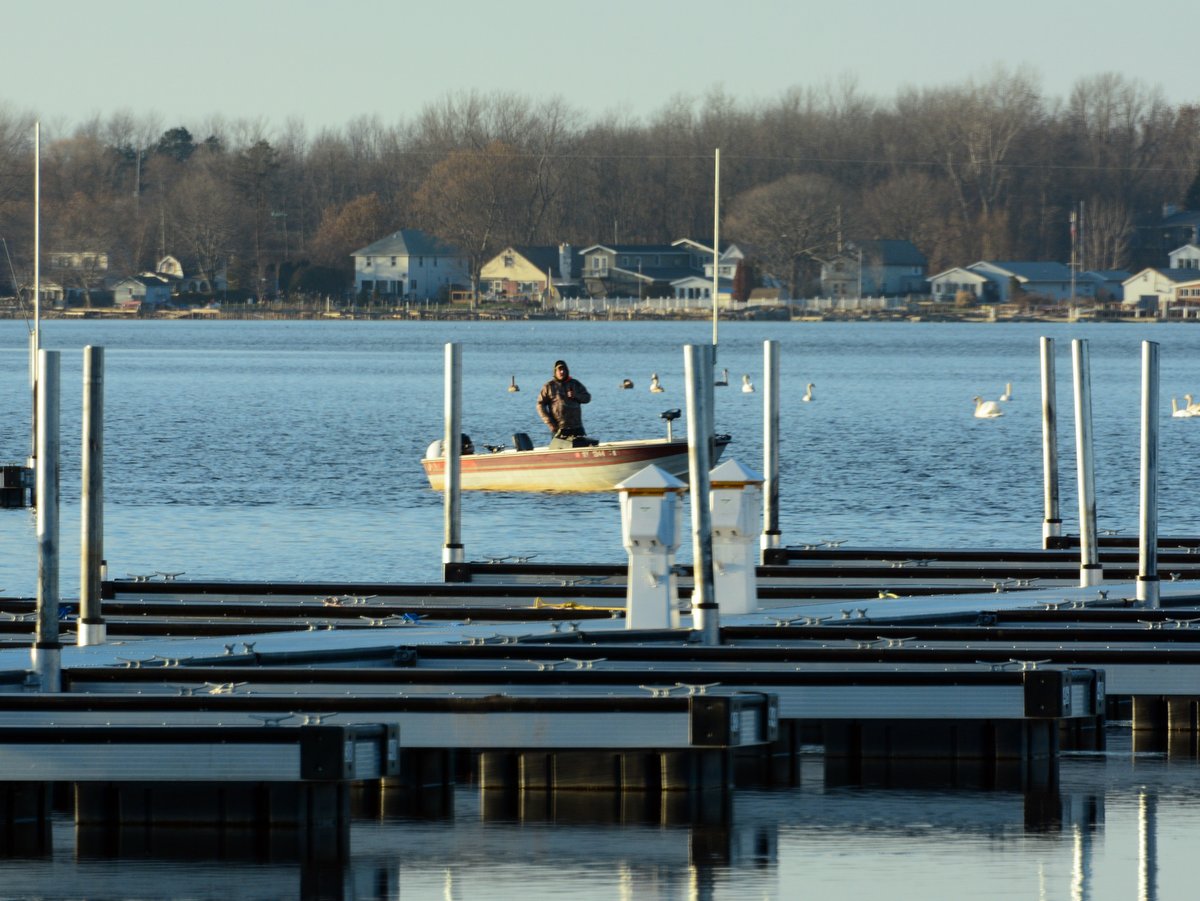
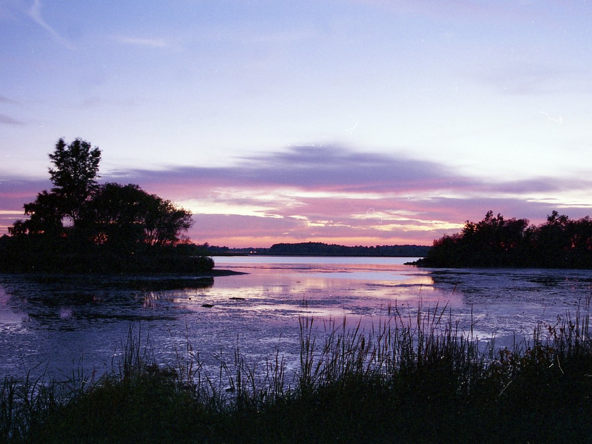
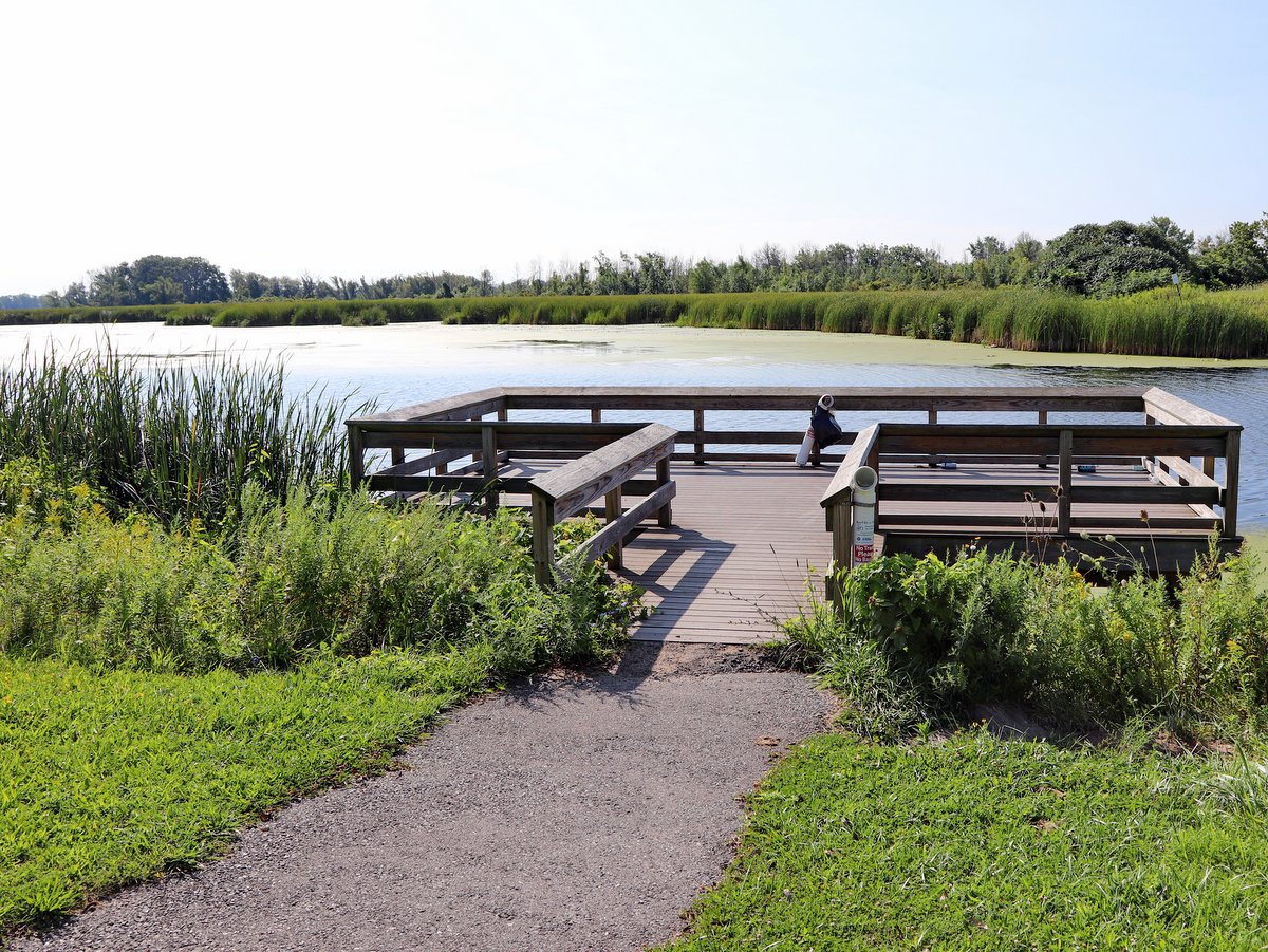
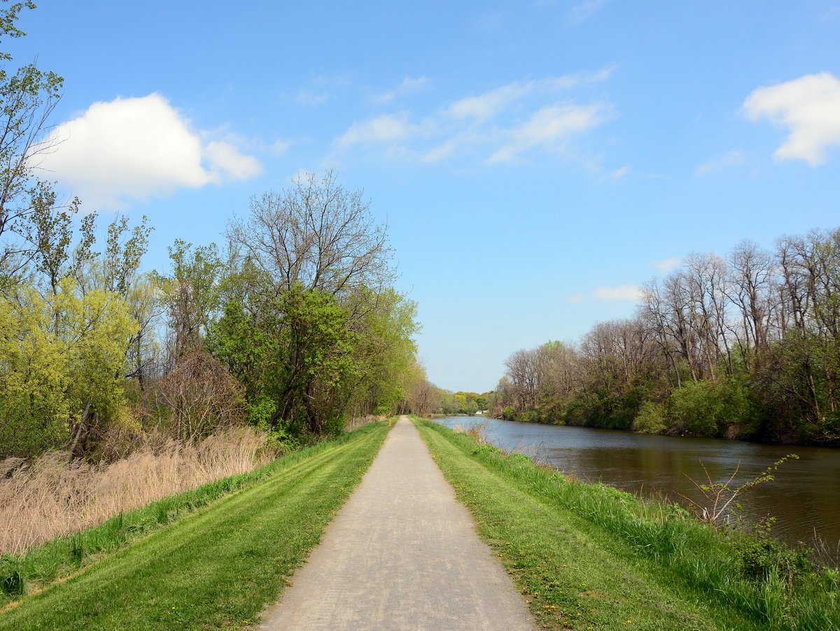
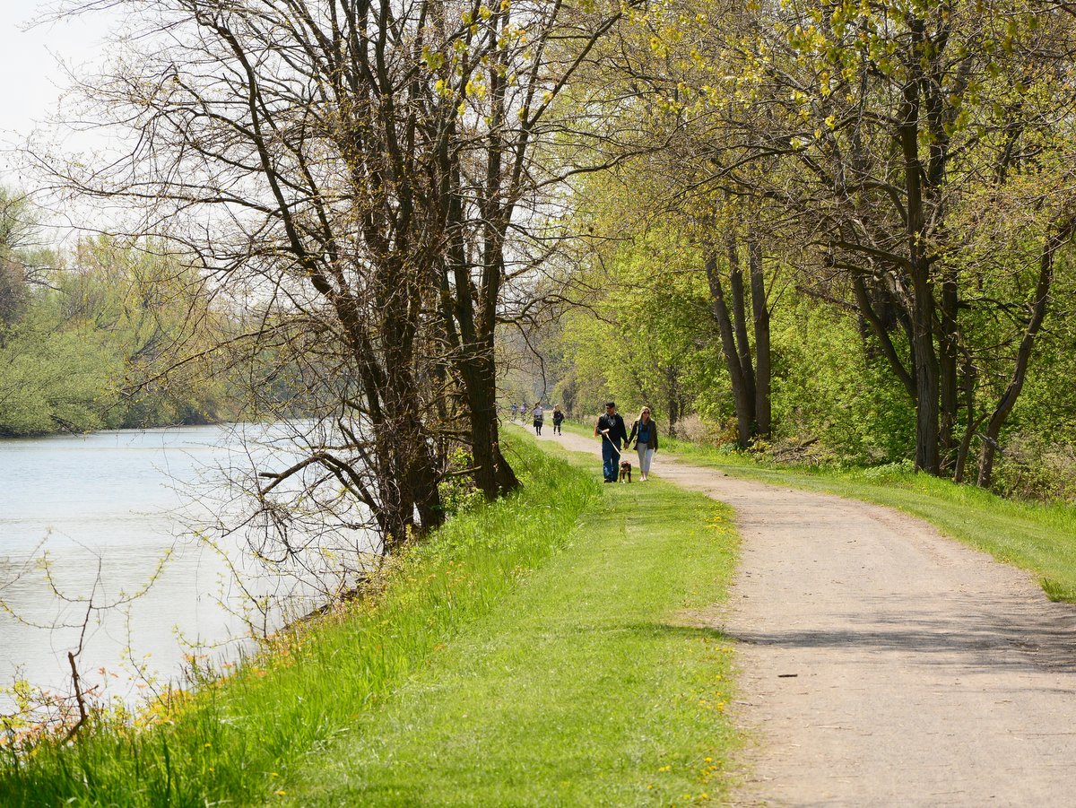
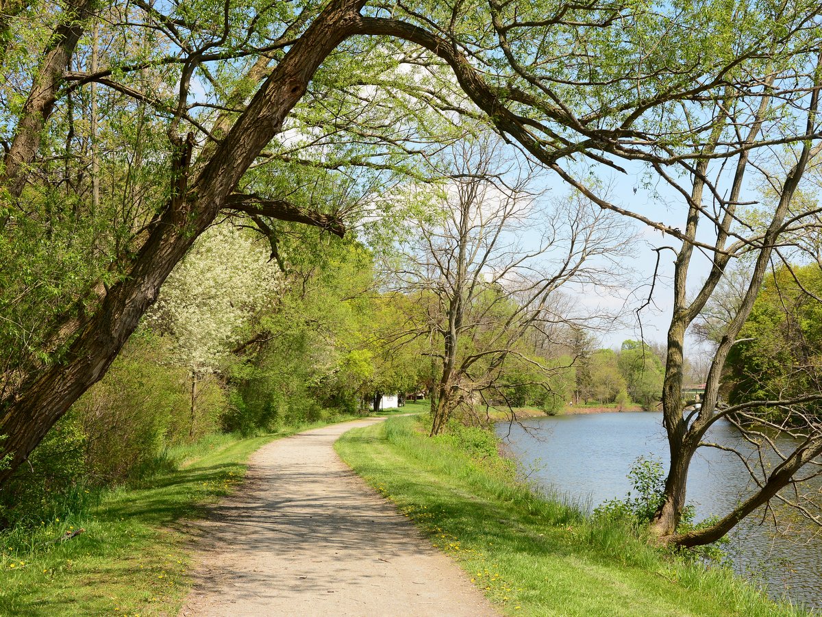
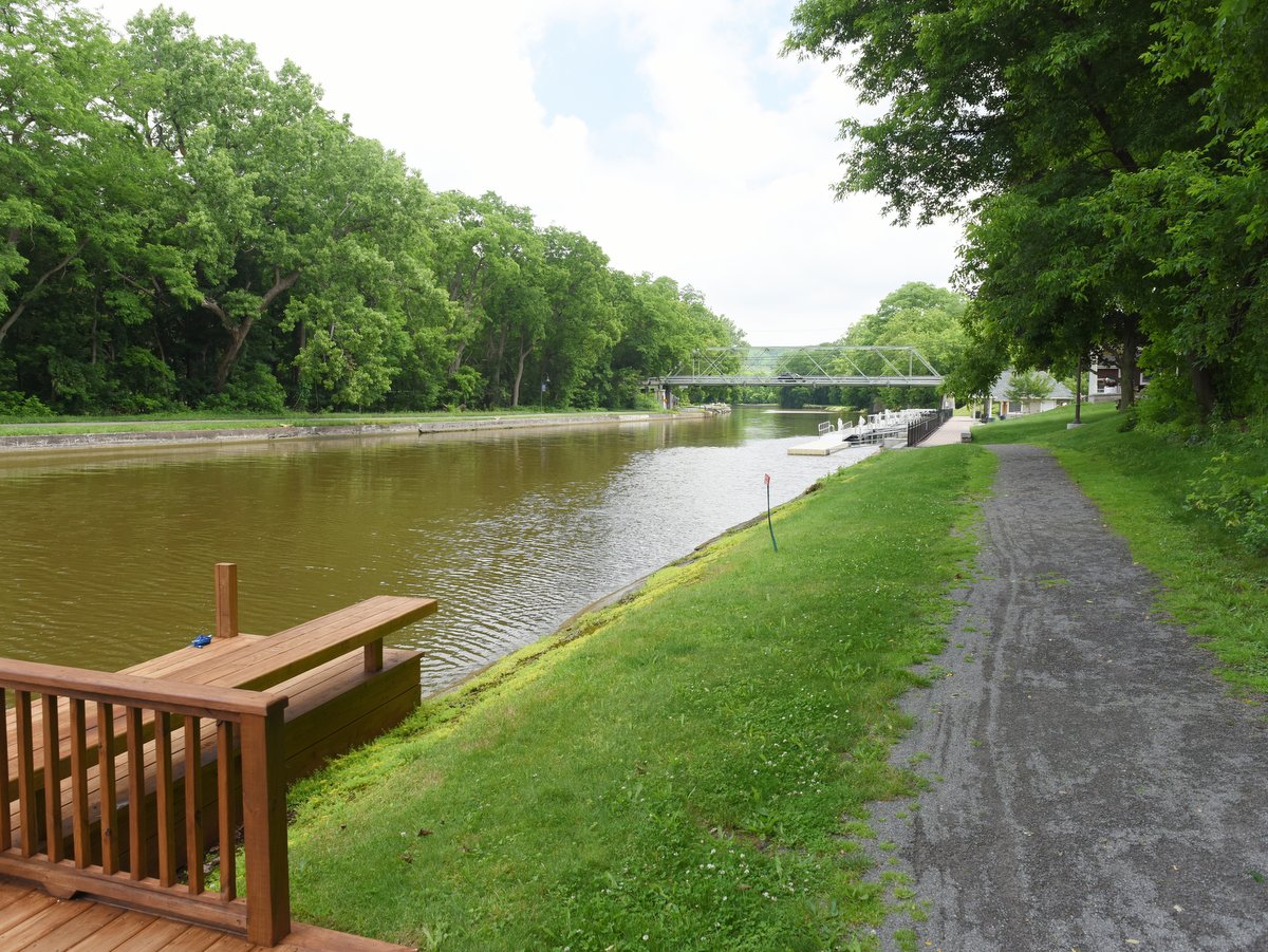
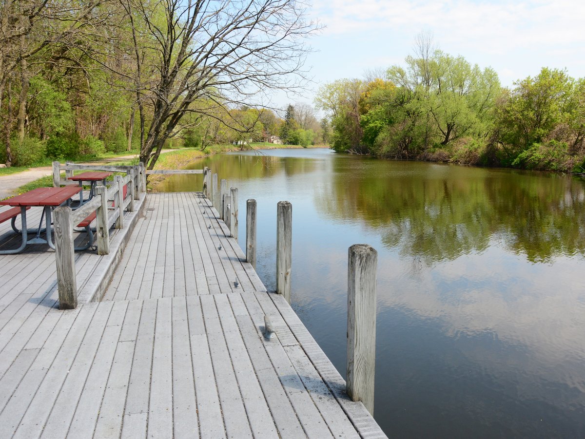
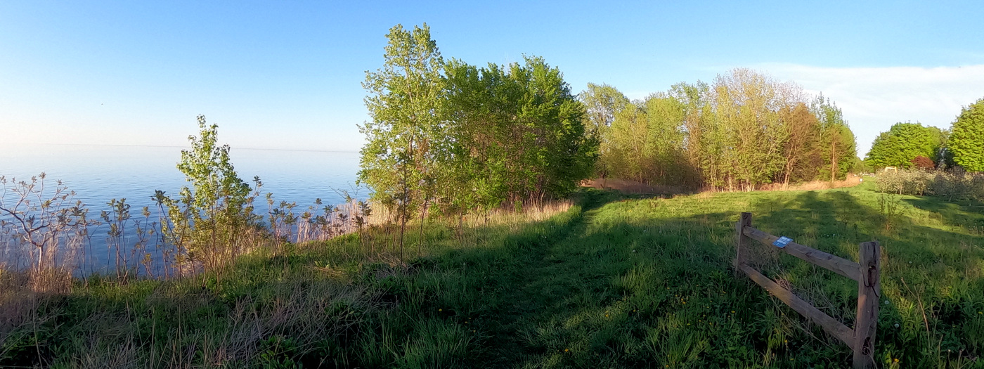
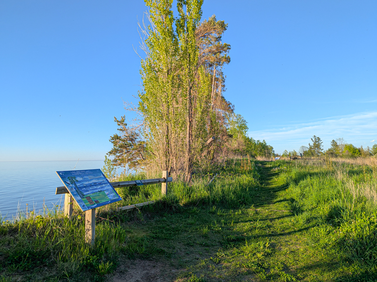
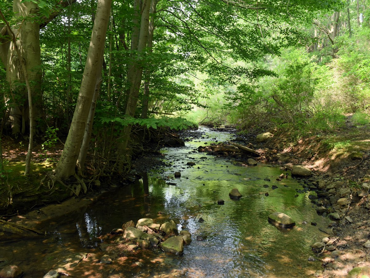
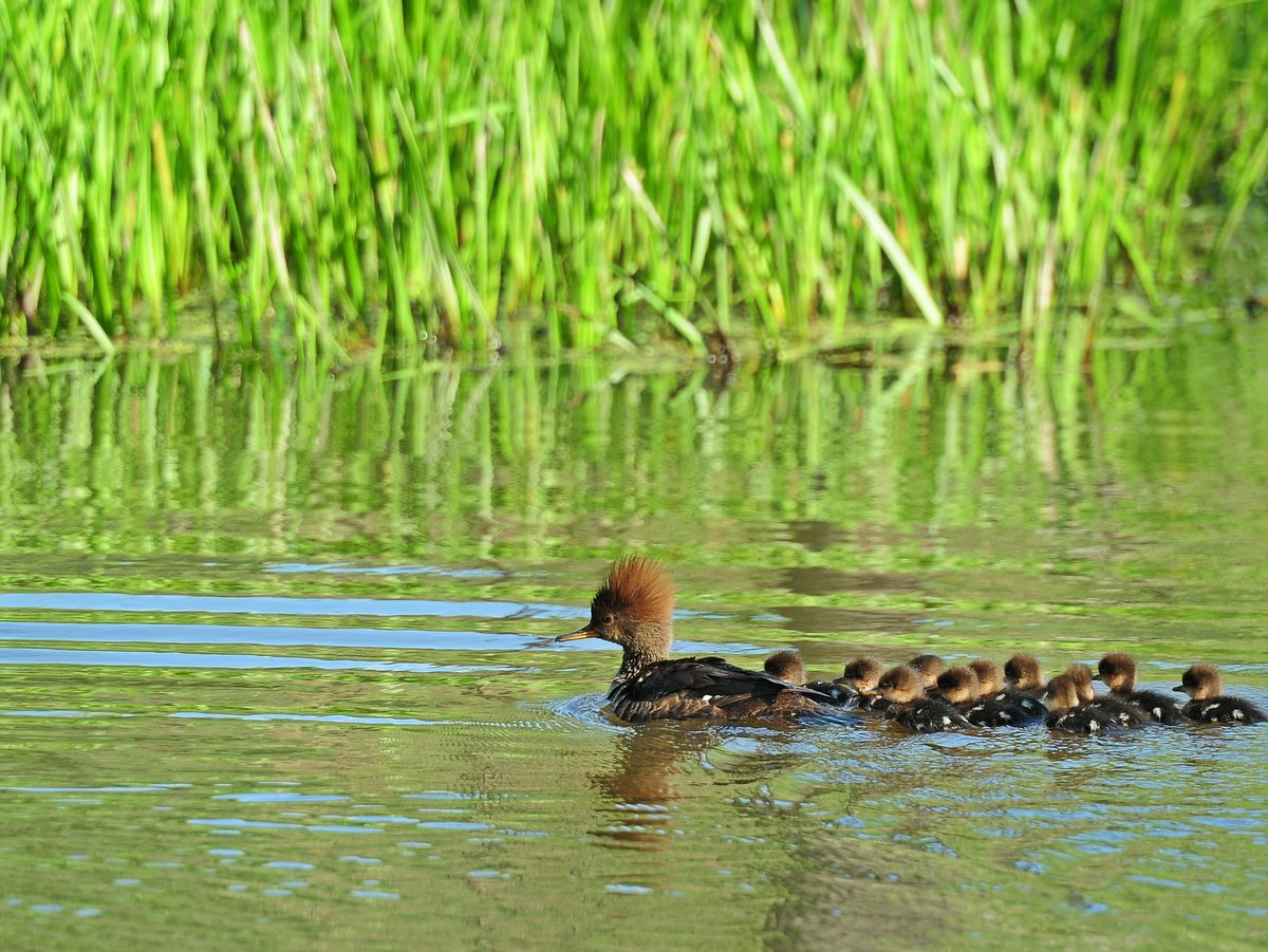
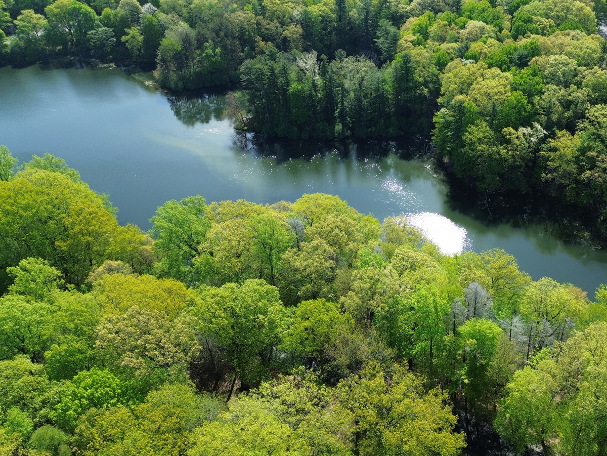
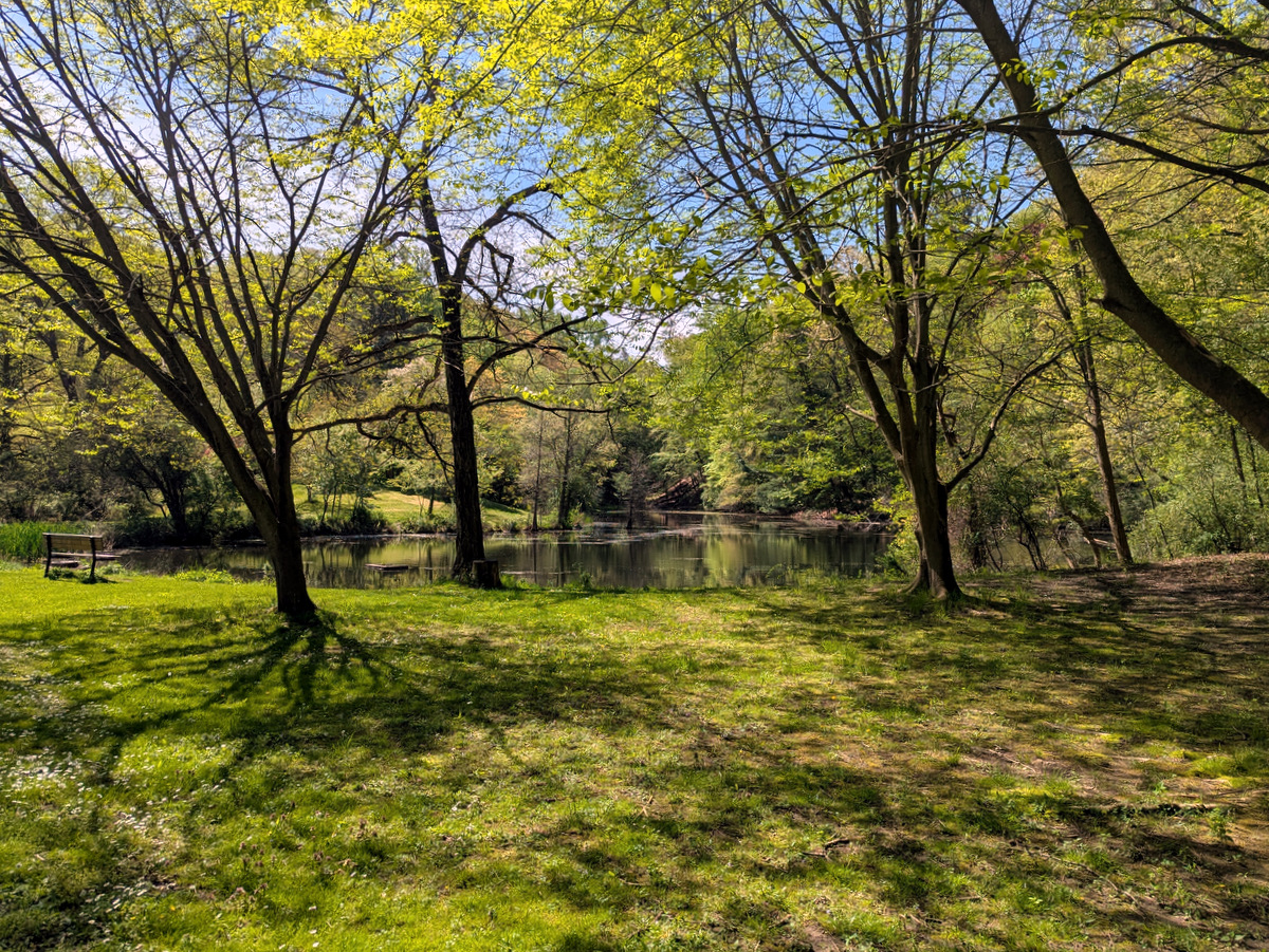
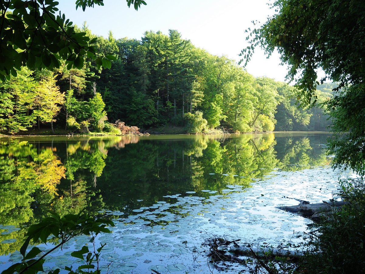
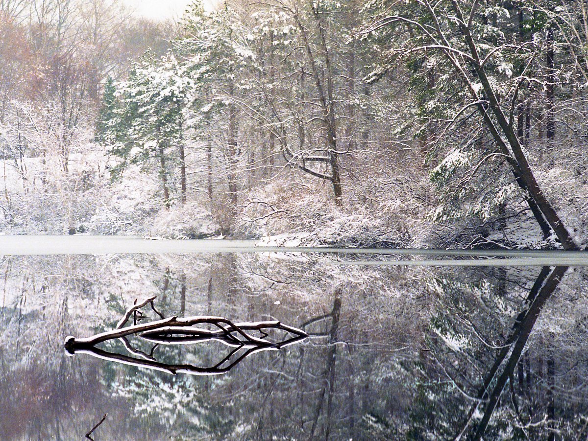
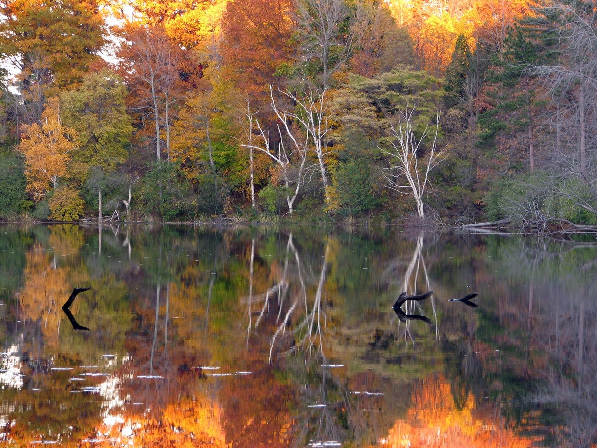
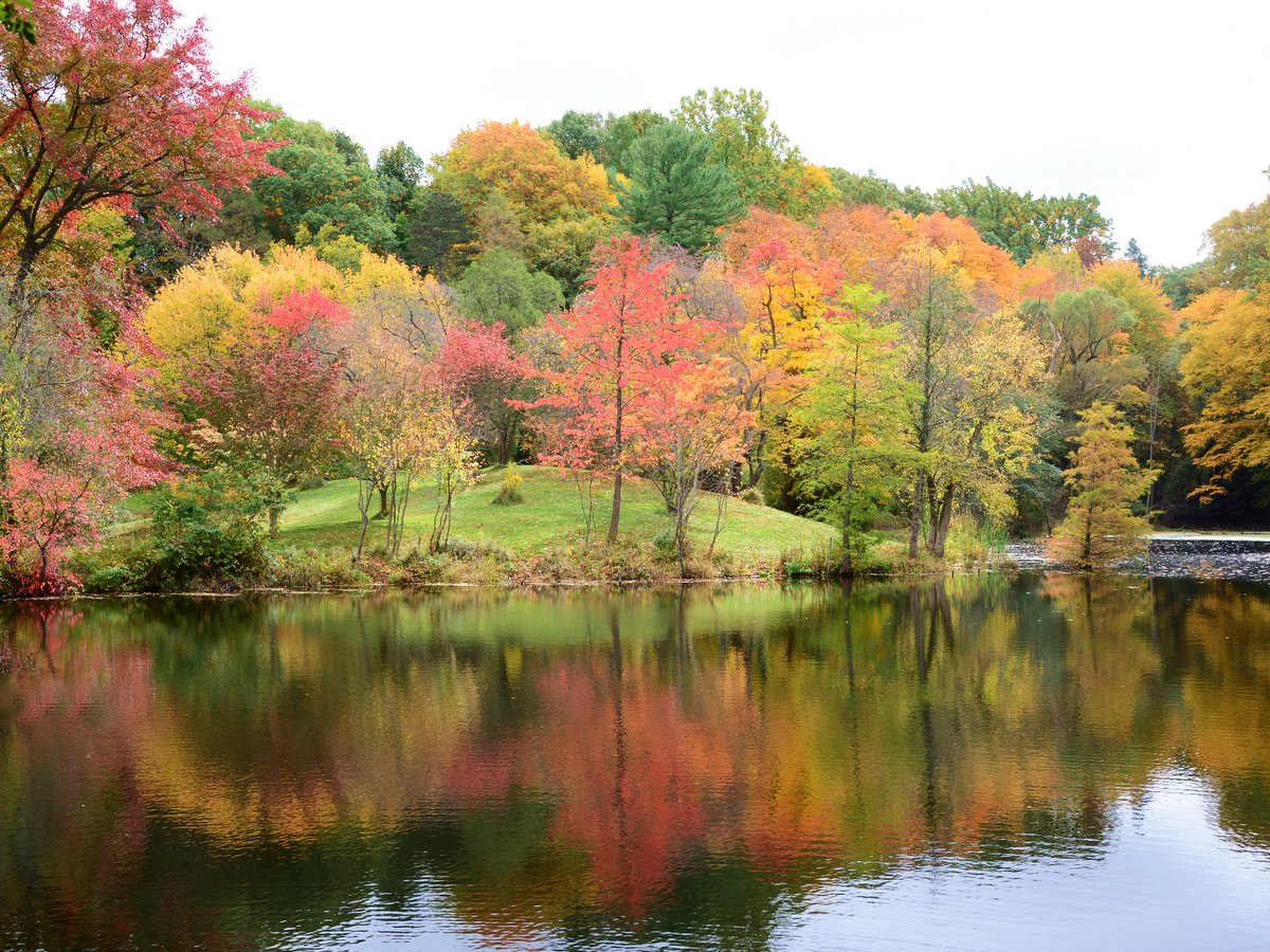
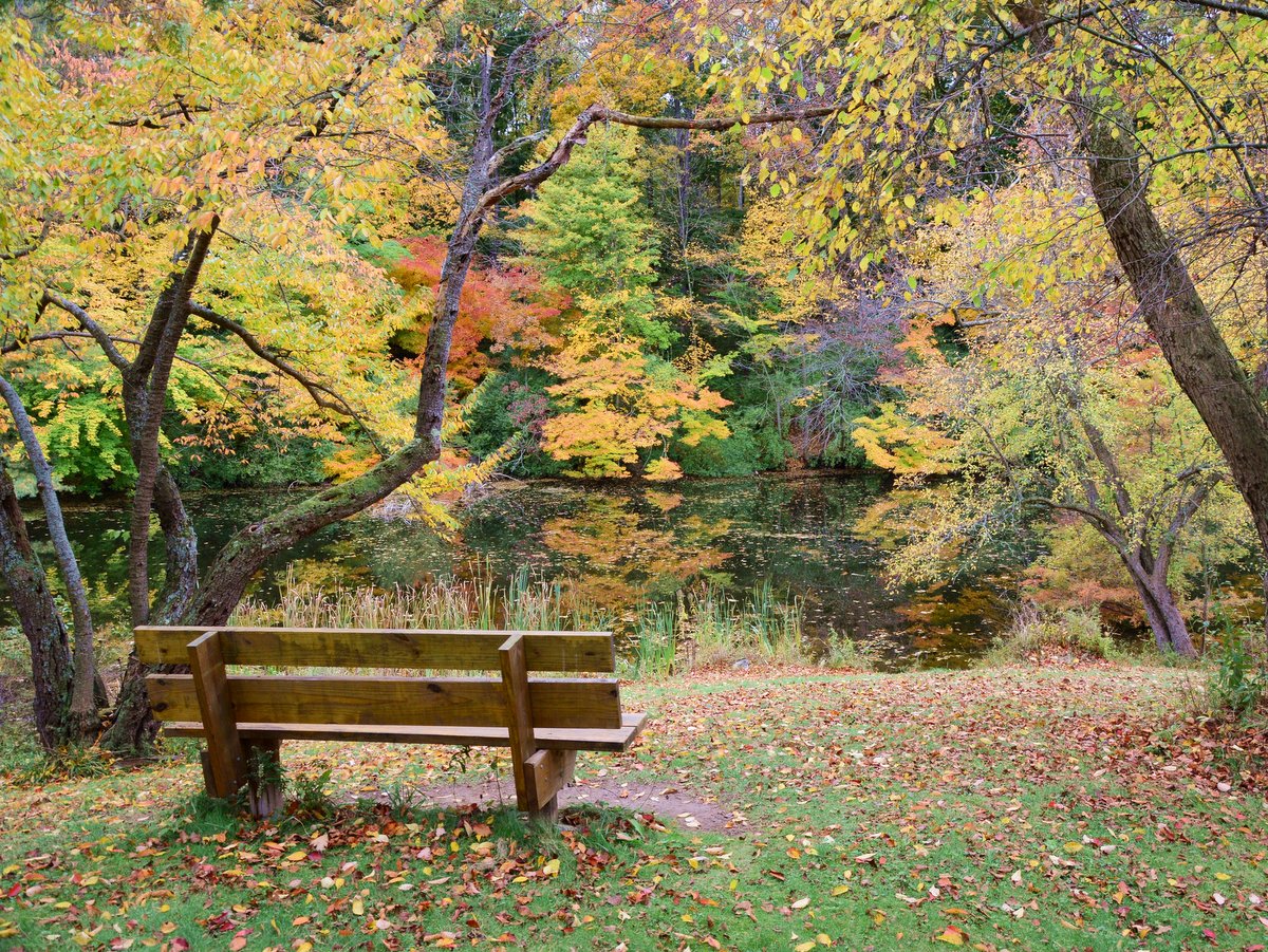
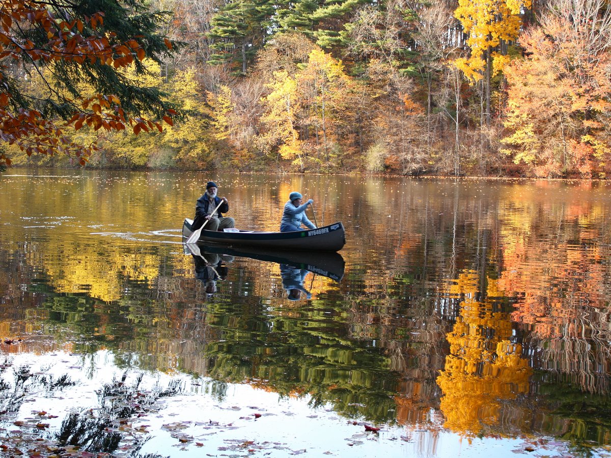
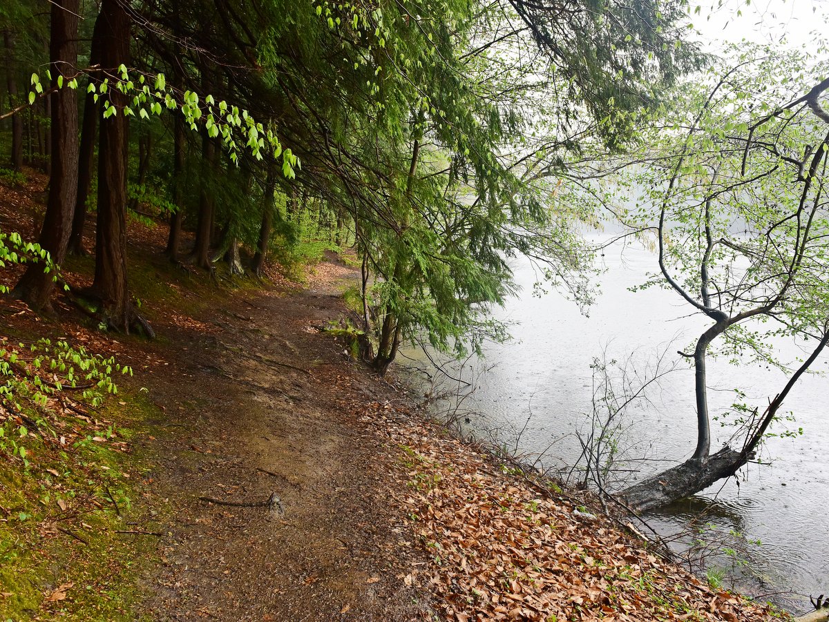
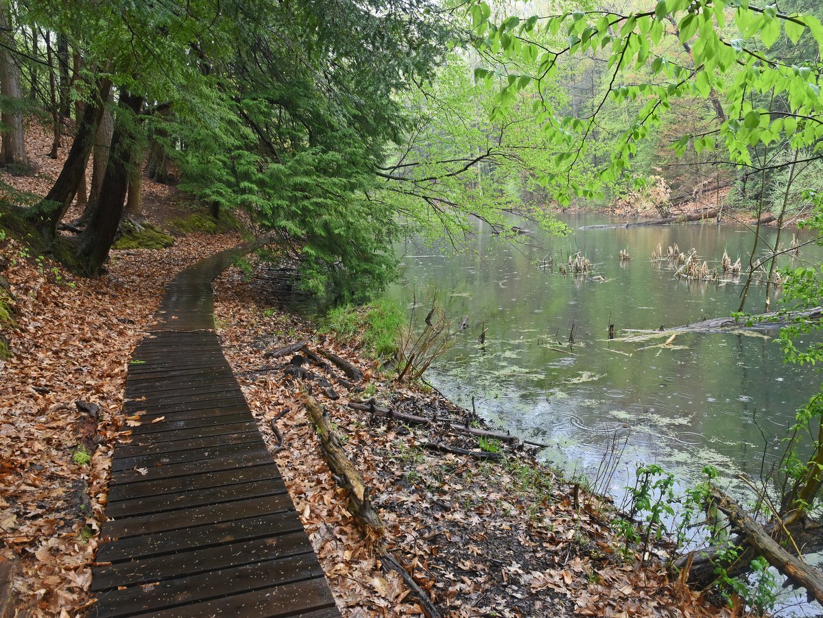
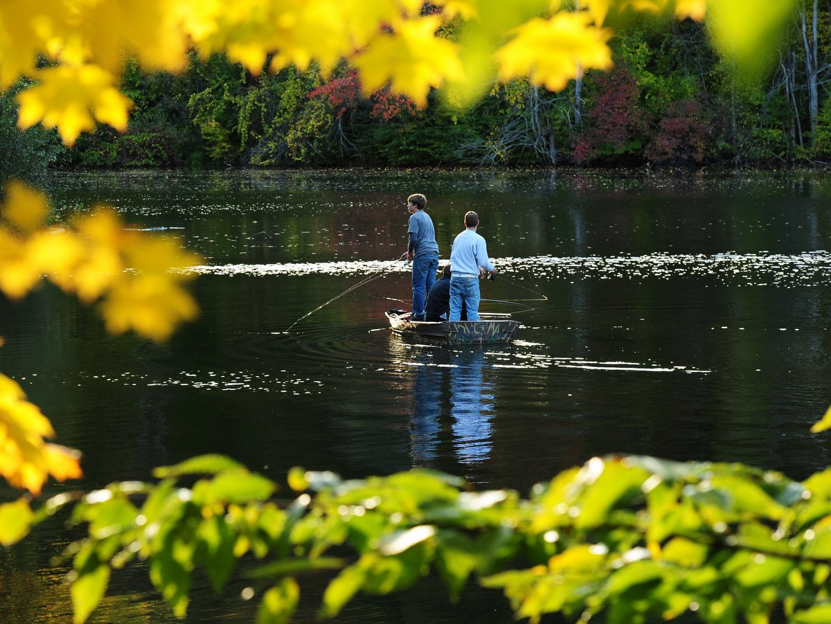
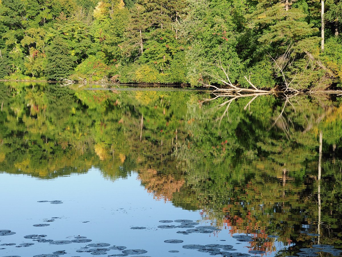
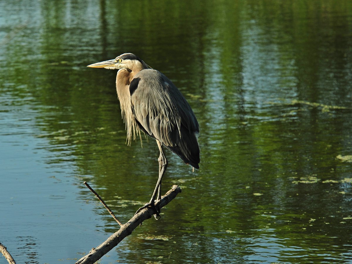
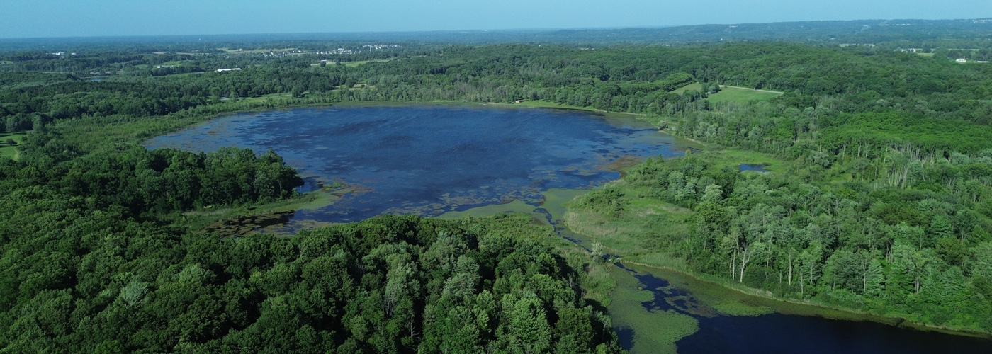
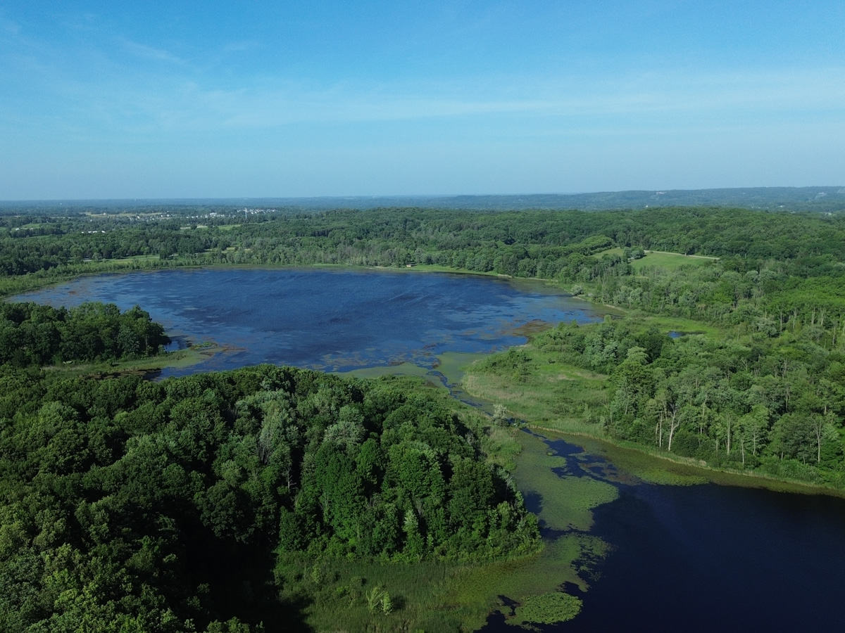
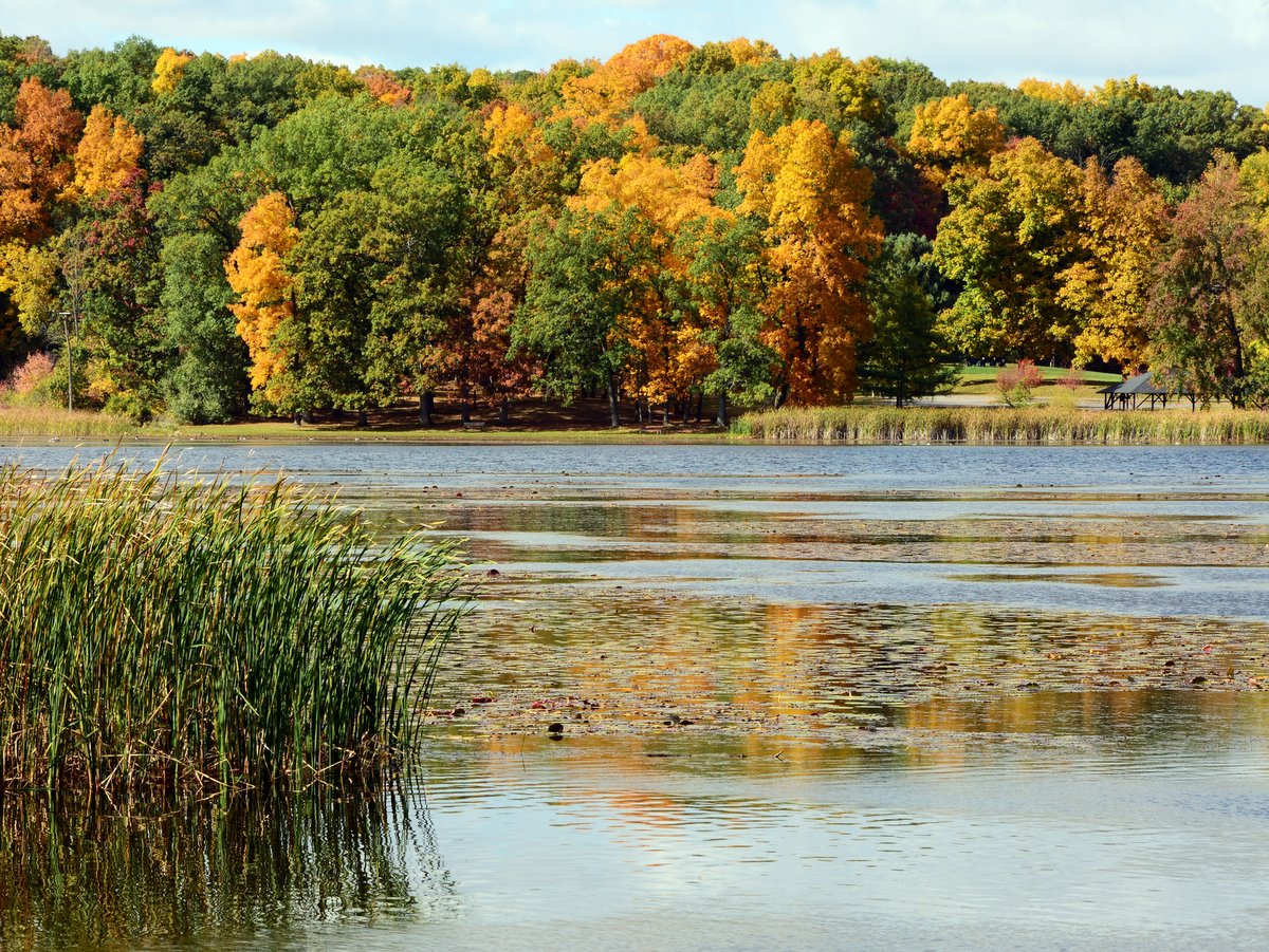
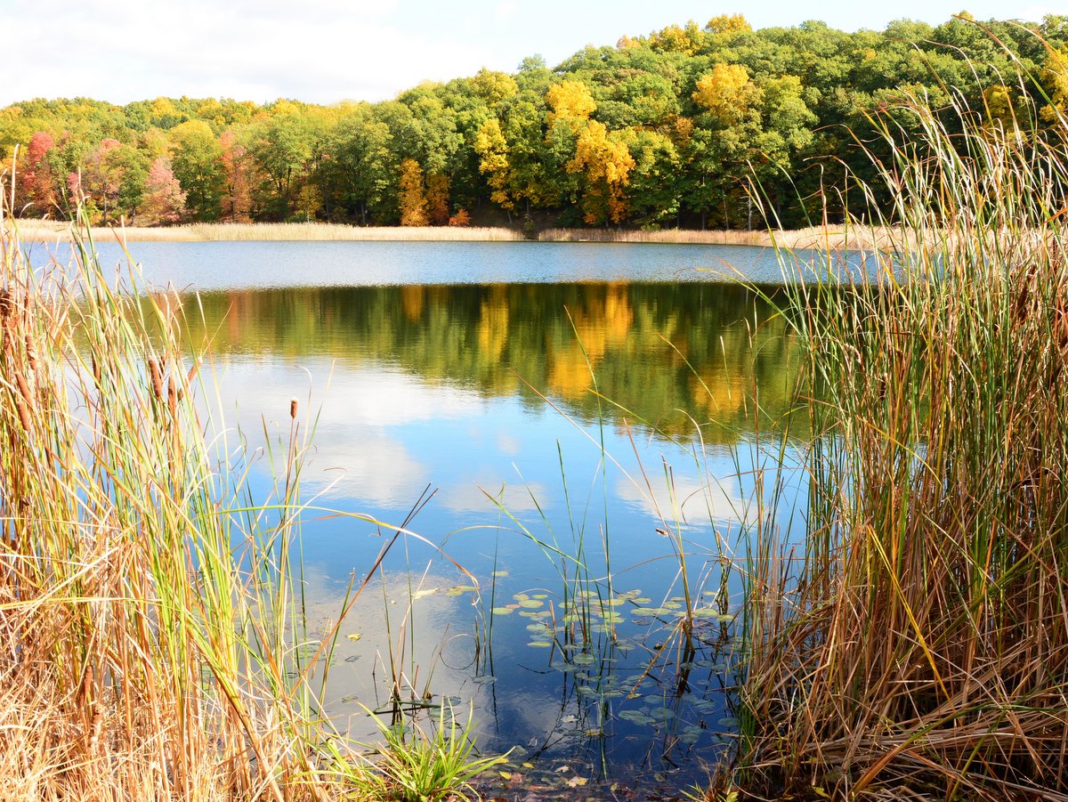
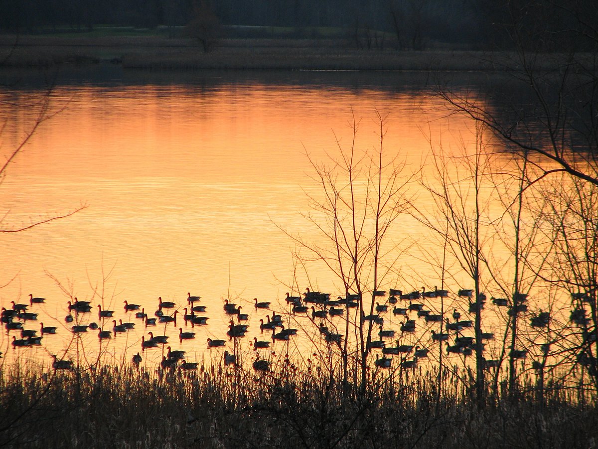
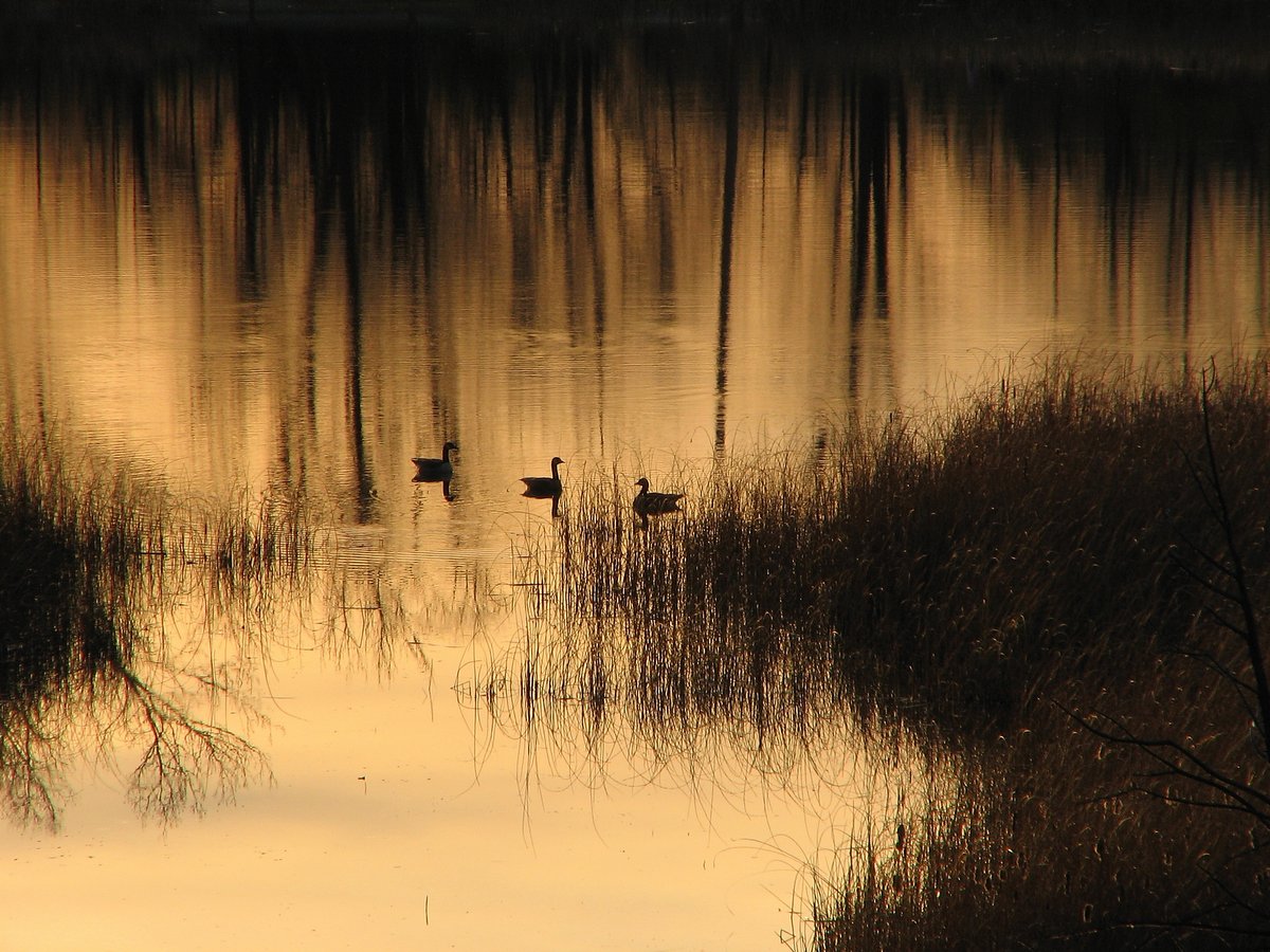
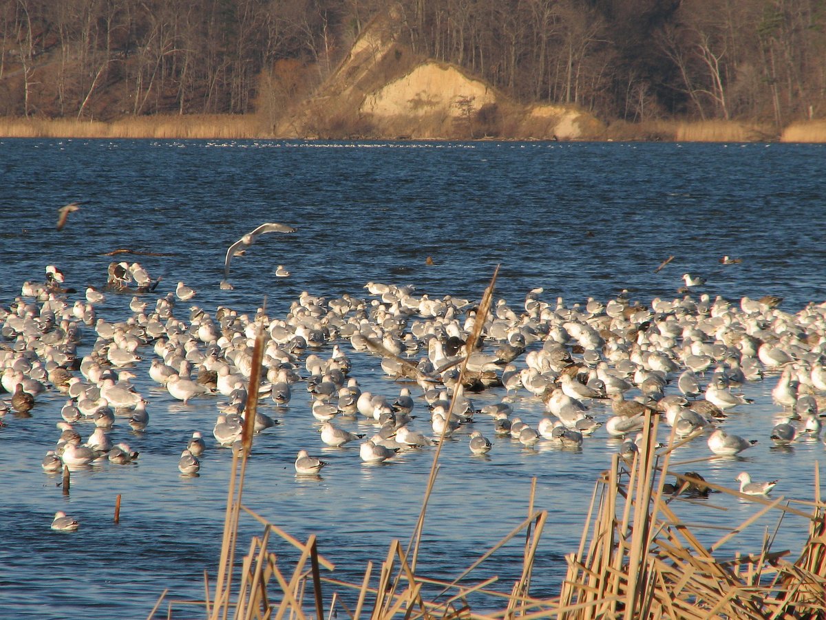
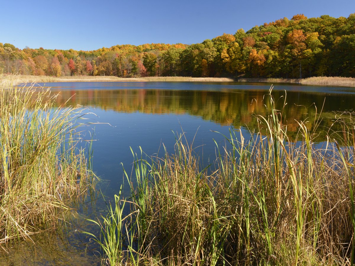
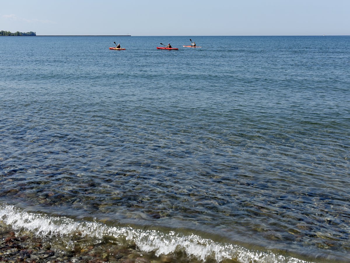
One of the other great features at Fair Haven Beach State Park is Sterling Pond. Like many of the inlets, bays, and ponds that stem from Lake Ontario, “The Pond” is ideal habitat for fish and waterfowl. Protected by sand dunes from the Great Lake’s wind and waves, the pond’s waters are mostly placid and an idyllic site for anglers, paddlers, and birders. And if you don’t have a canoe or kayak, or just don’t want the hassle of lugging one there, canoes and kayaks are available for rent just across the road from the eastern swimming area.

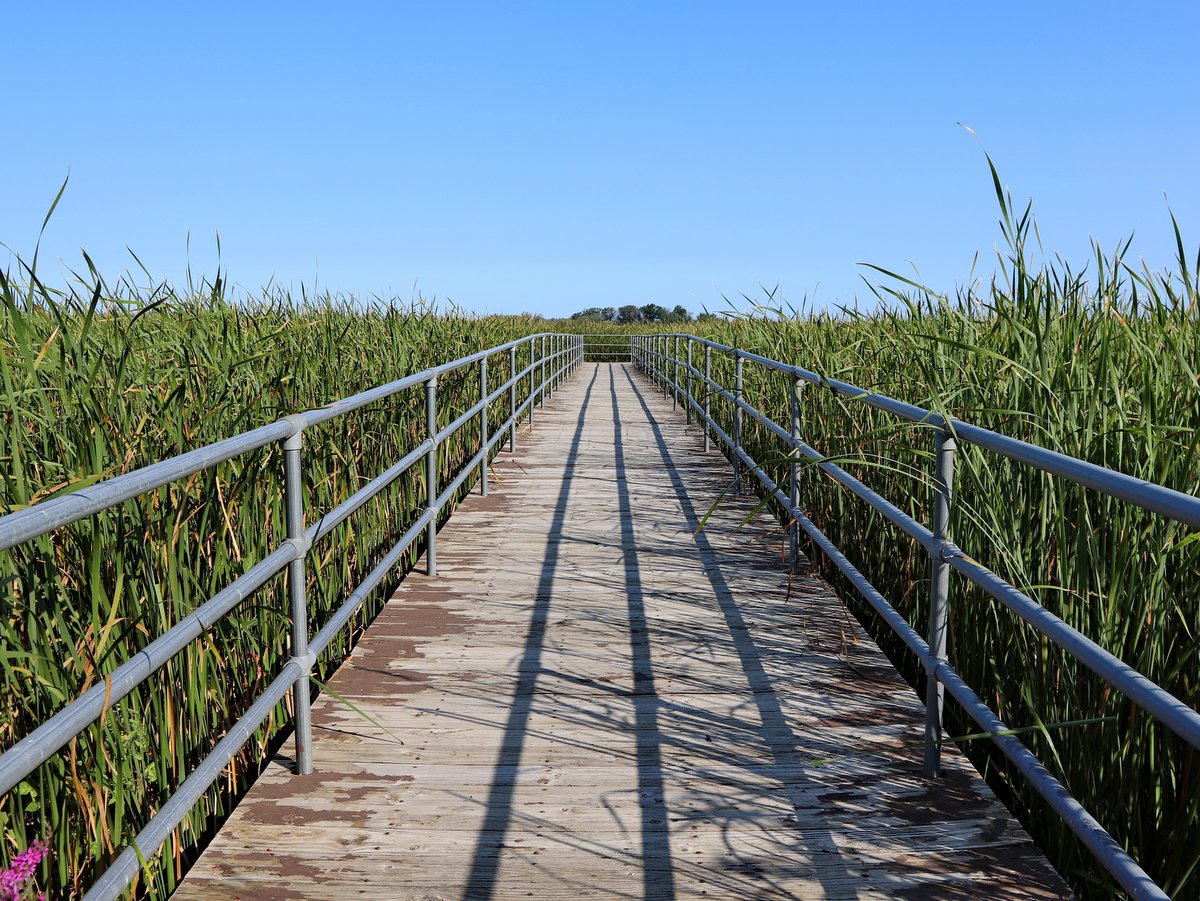
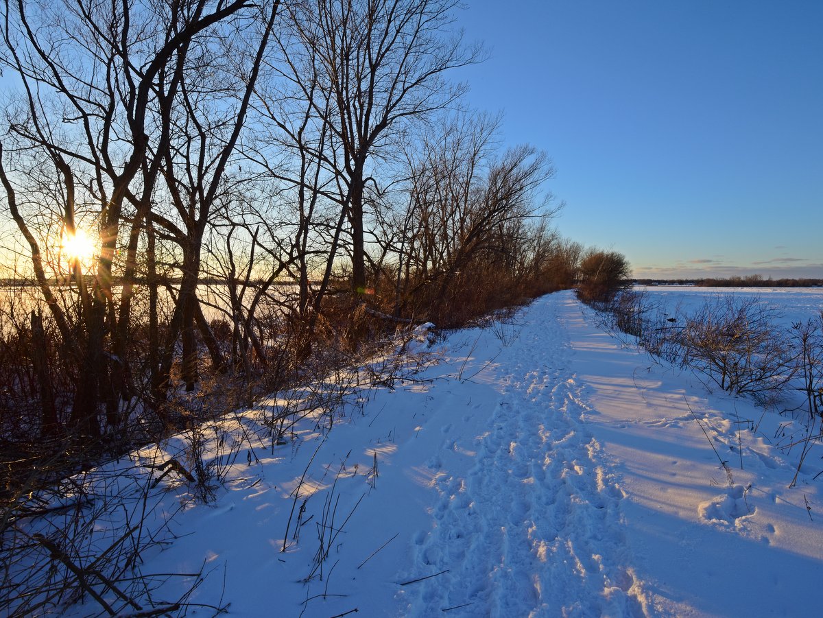
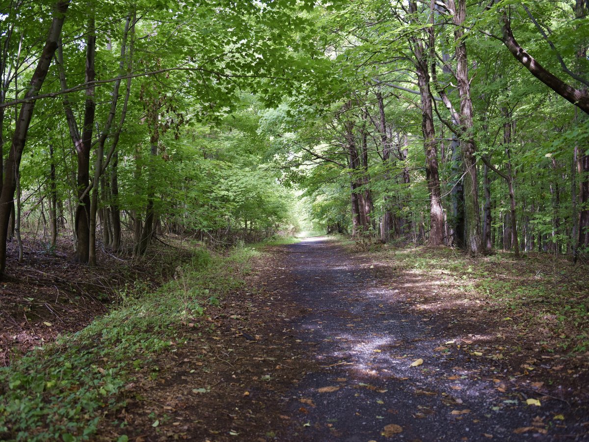
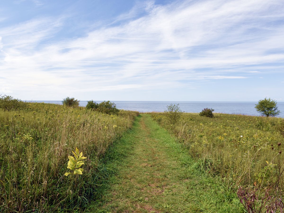
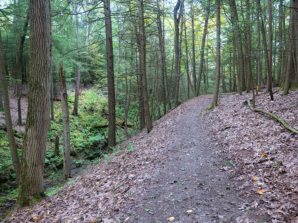
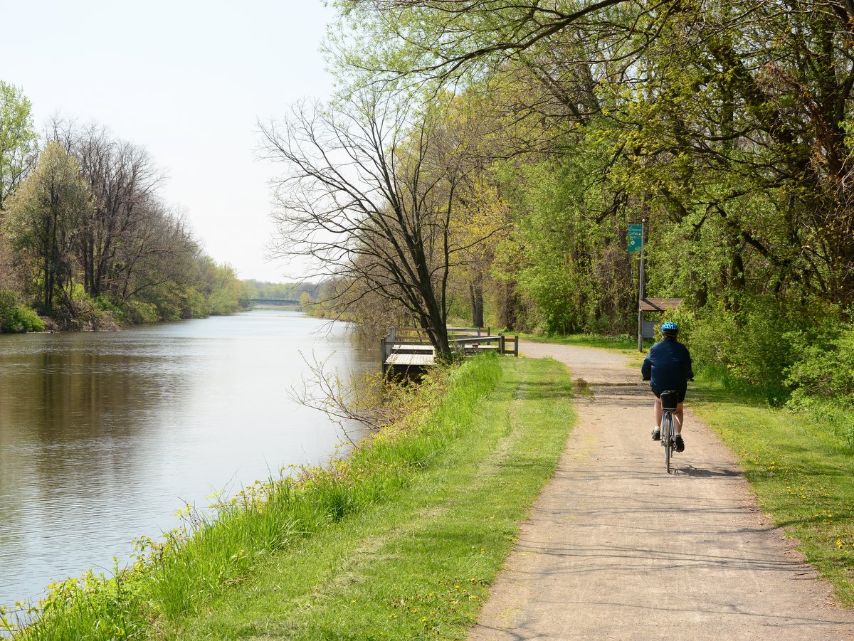
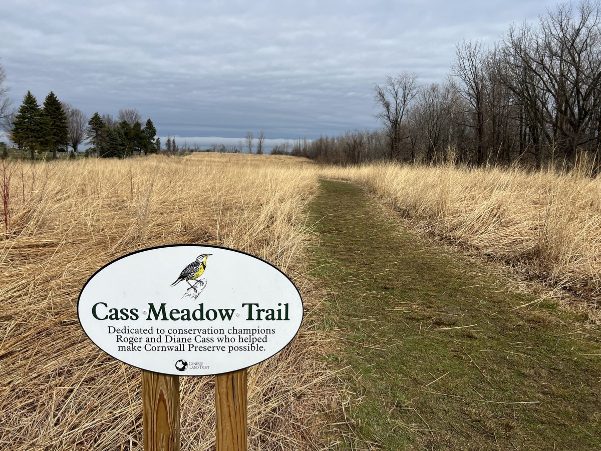
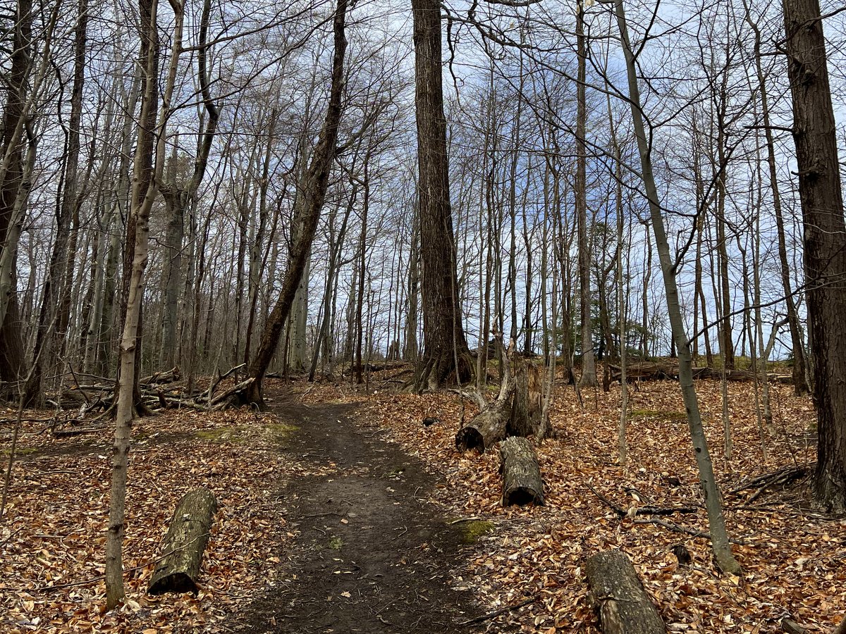
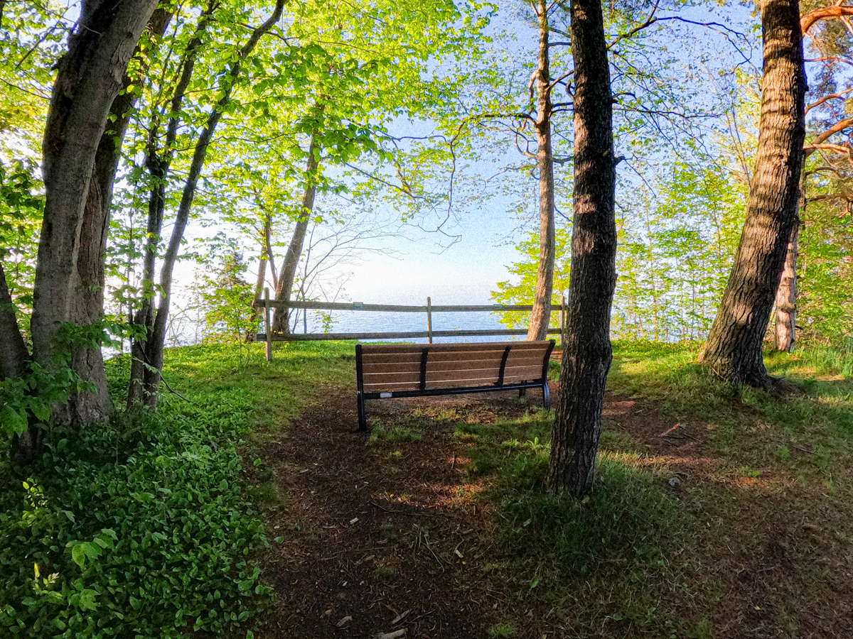
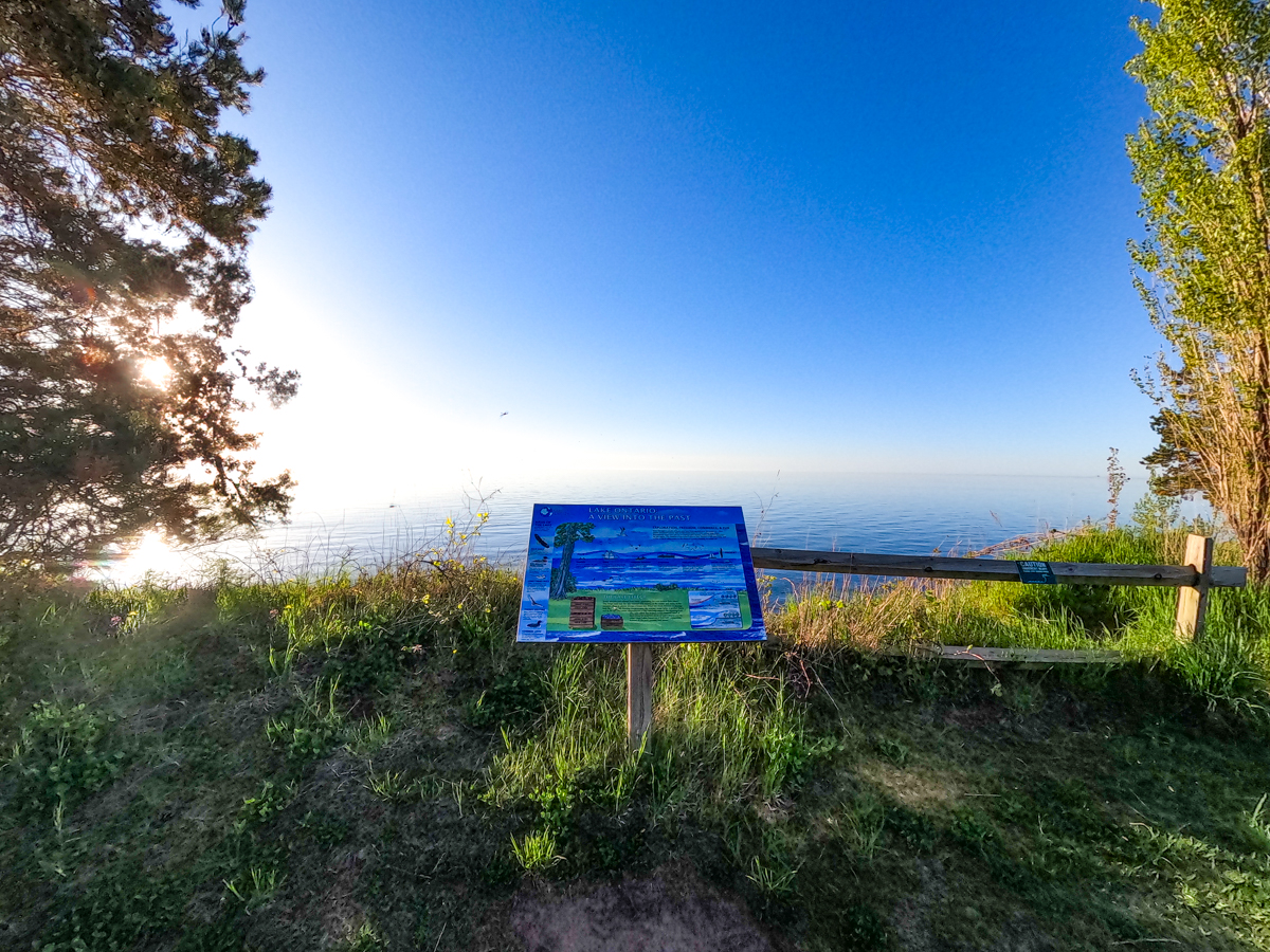
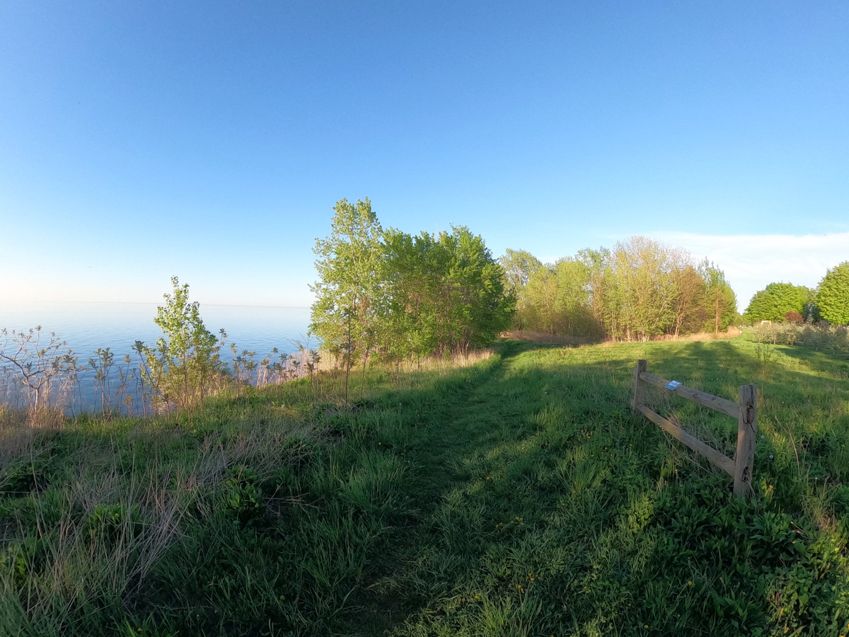
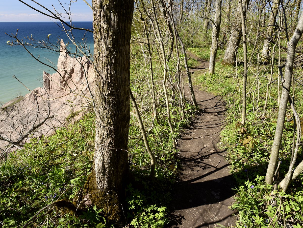
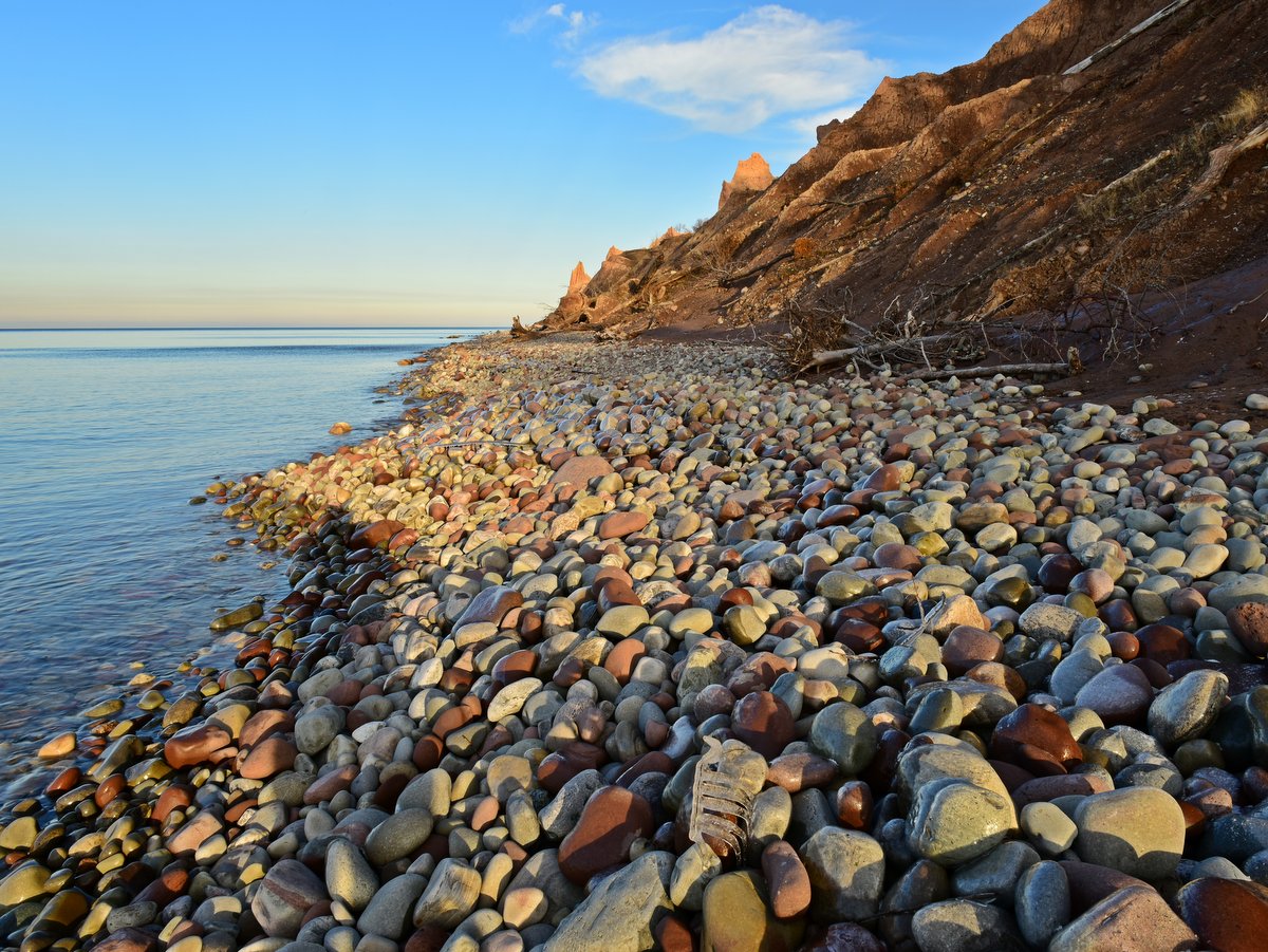
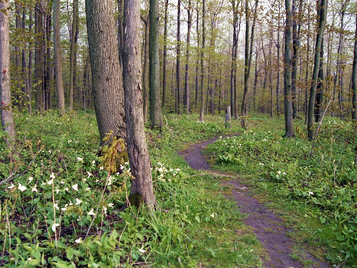
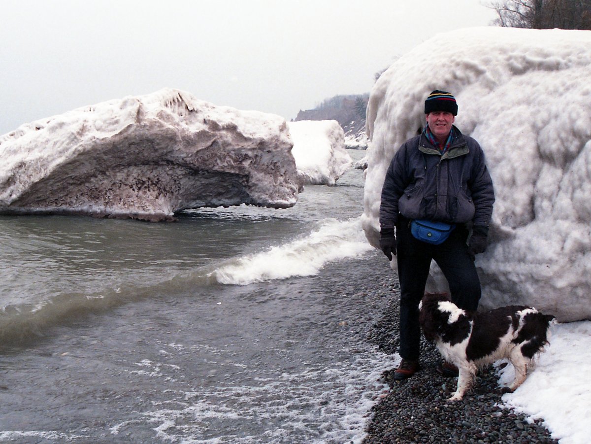
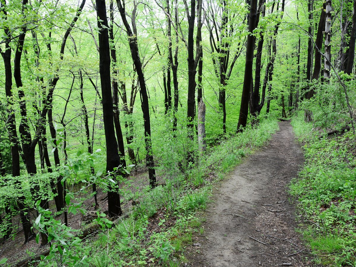
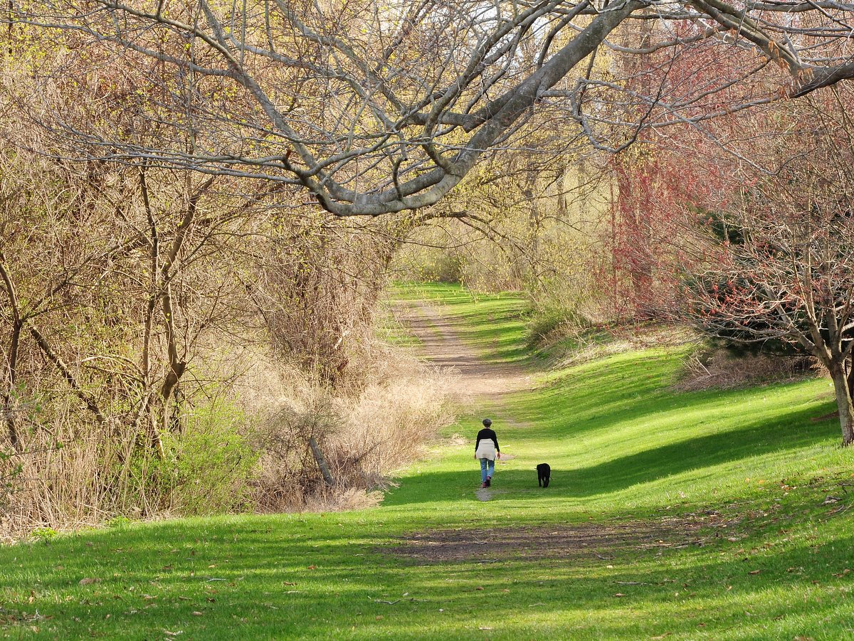
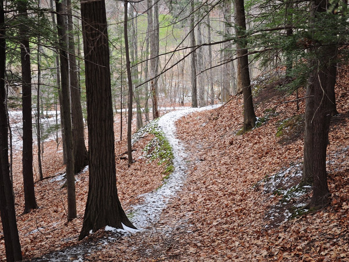
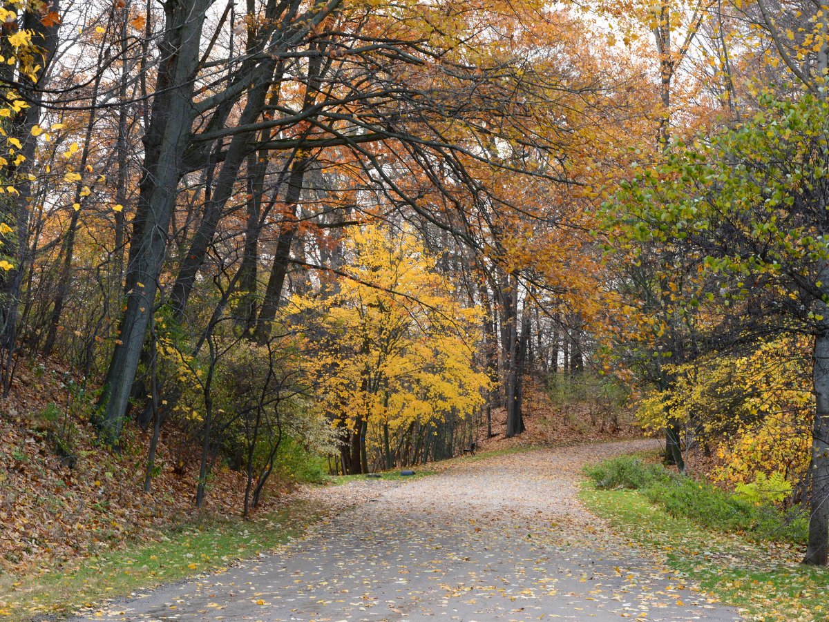
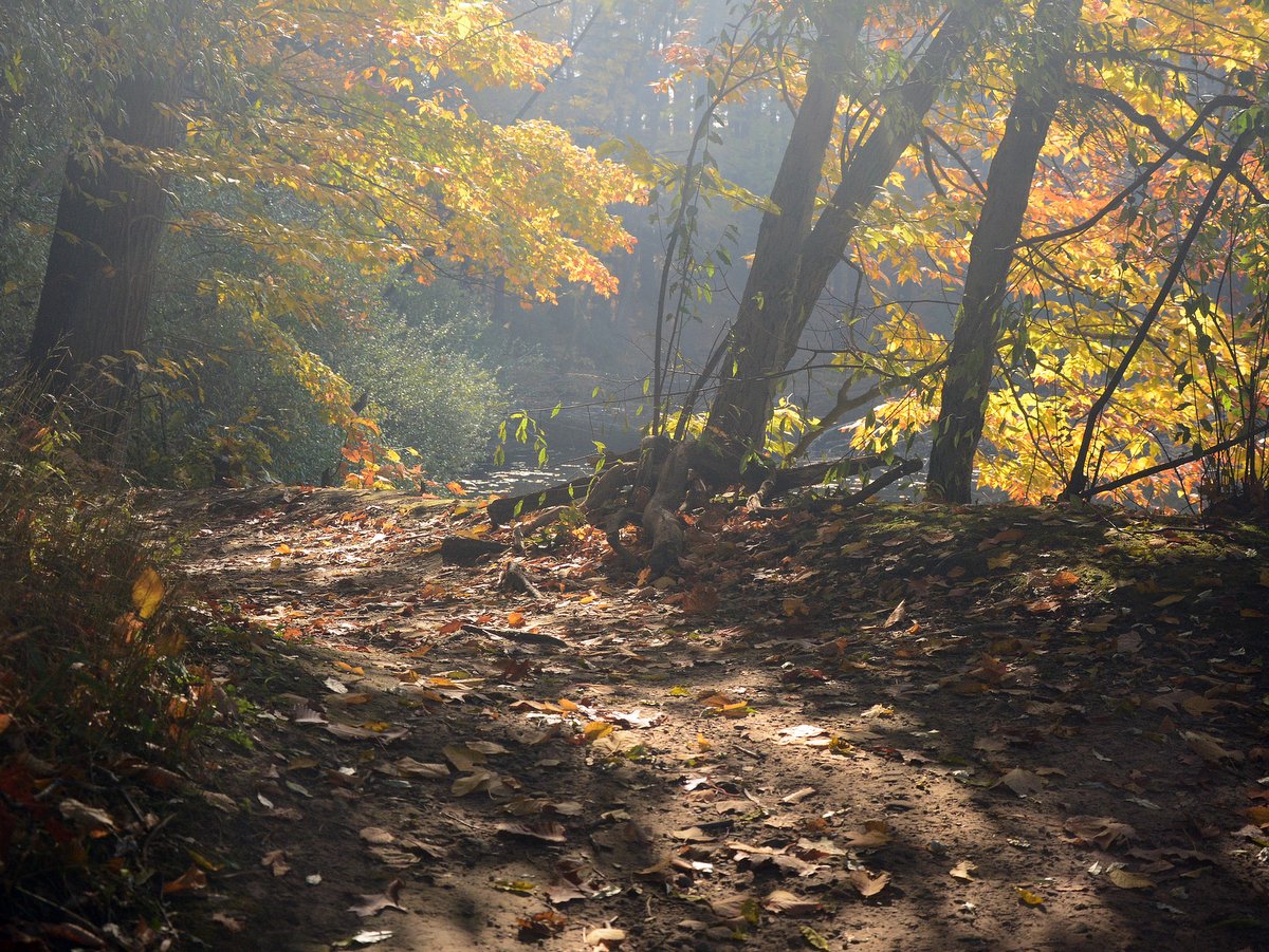
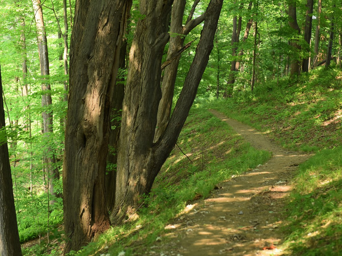
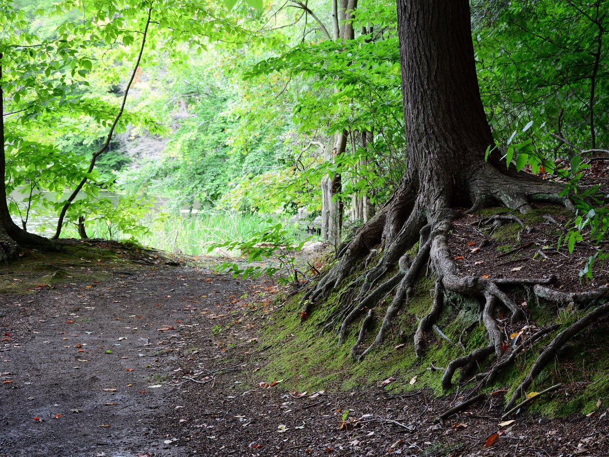
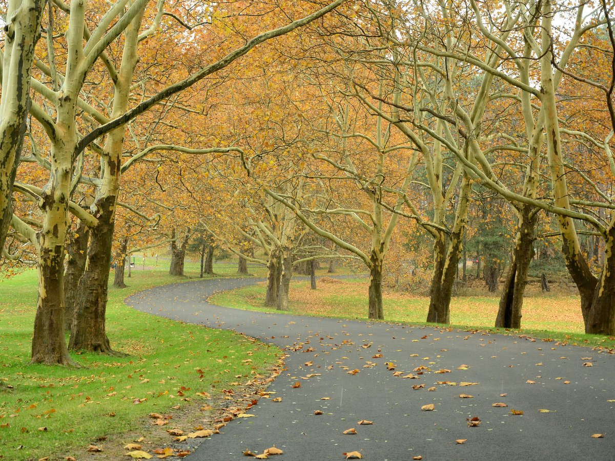
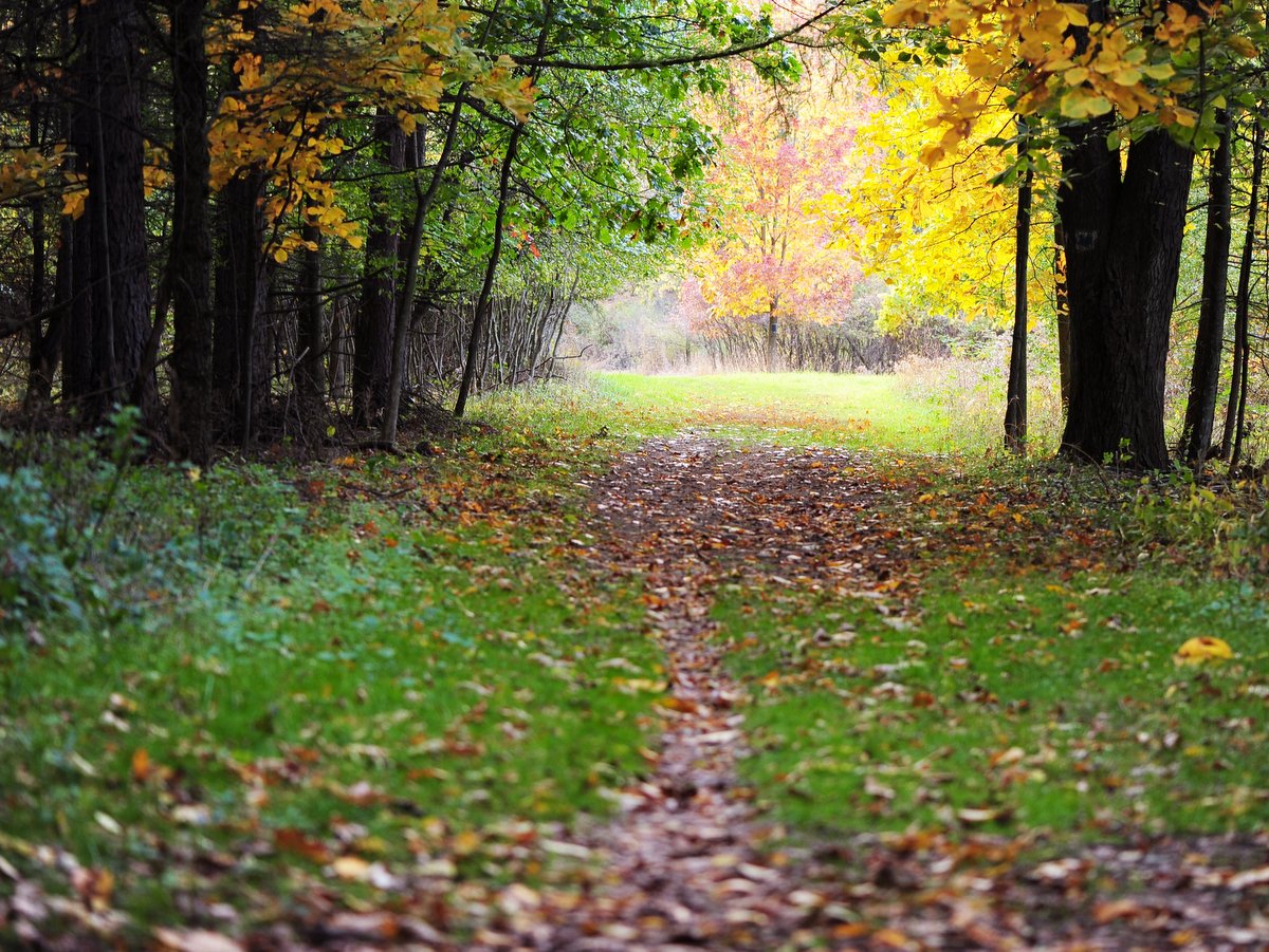
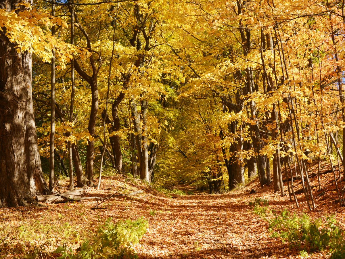
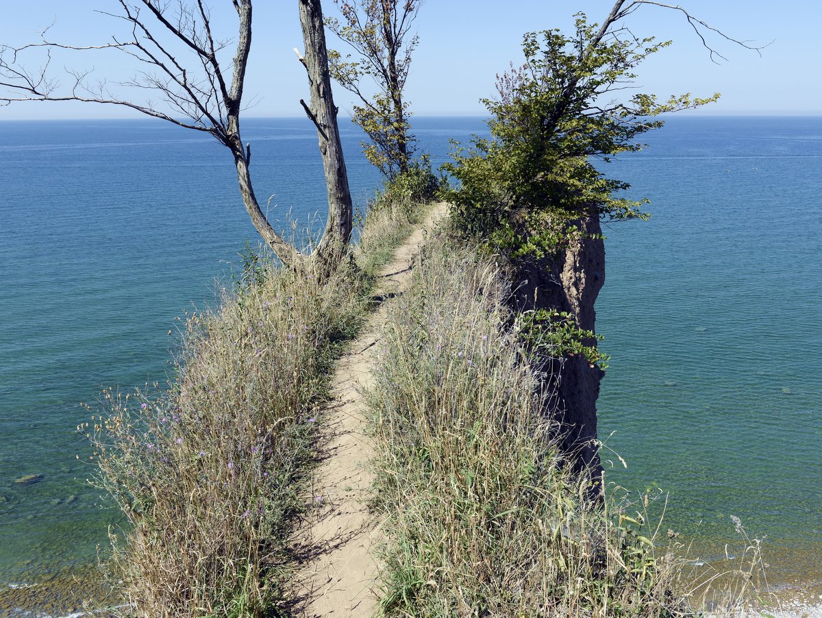
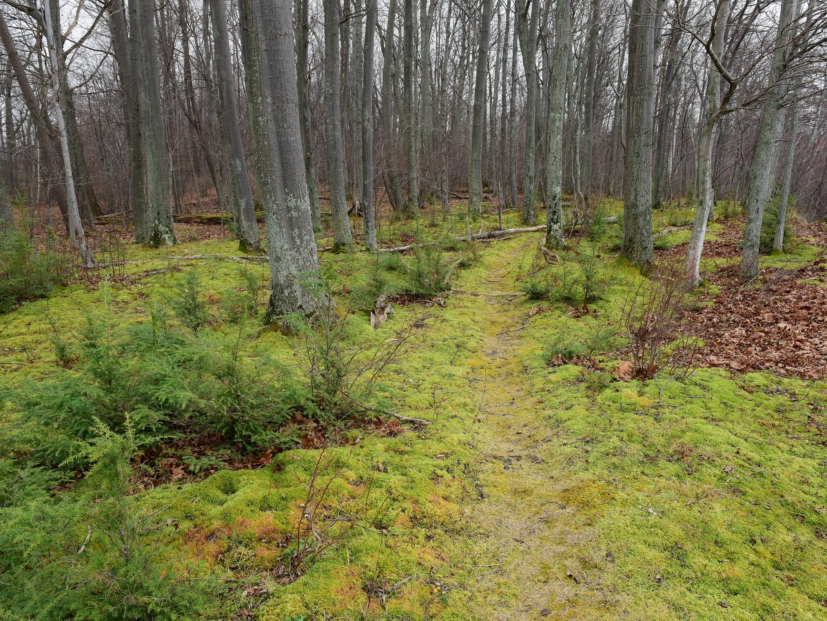
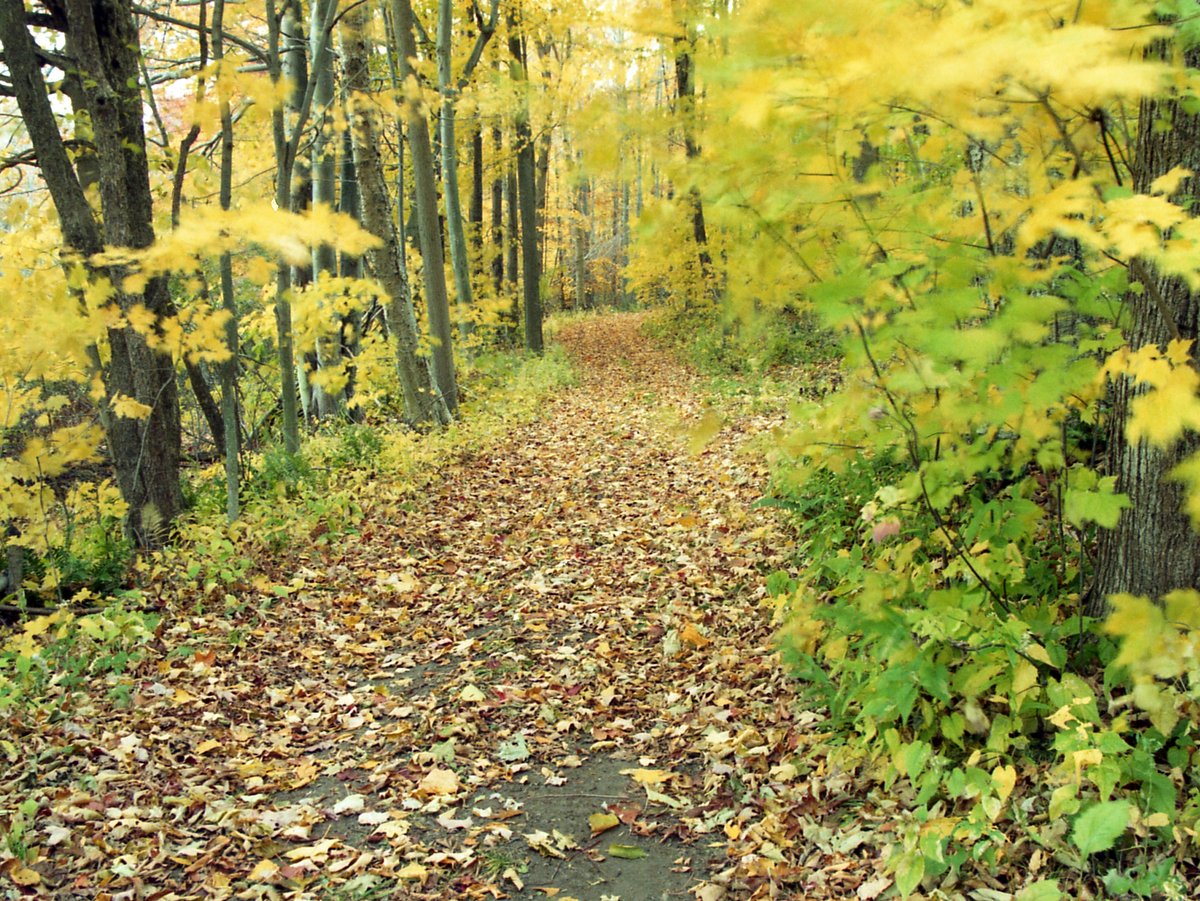
There are hiking trails, the most notable of which is the 1.5-mile out-and-back Lake Shore Trail. It leads to a secluded rocky beach that is drastically less frequented by the rest of the park-goers. Given that the rocky beach is picturesque and serene, one might wonder why. One reason is that it’s relatively hard to find. Its signage, though present, does not advertise itself to the timid outdoorsman. But really, the answer is insects—lots and lots of mosquitos and deer flies. If you are brave enough, proceed at a brisk pace, have ample bug spray, and if there is a strong wind, the trip will be worth it. The reason for the horde of bloodsuckers is that the trail and beach both neighbor Sterling Marsh. The wooded trail provides enough cover from the lake’s breeze so that the insects have free reign. Out on the beach, the ocean-like breezes help keep the insects at bay. The first part of the trail is roughly a half mile along an access road that comes to an end near a slight rise before the lake. The sounds of the lake lapping on the shore practically beg you to scramble up the short rise where you will be rewarded with breathtaking views of Lake Ontario. The beach in this section of the park is more pebble and gravel but there is roughly a third of a mile here to explore. It is a very narrow band of shoreline between the lake and the marsh, so stay close to the lake, lest you advertise that you are back on the menu for the voracious insects.

Another major outdoor activity here is camping. There are 222 sites including cabins, tent-only, and trailer sites, with many booked for the summer well in advance. In effect, there is a sort of built-in beachgoer residency at the park. Sundays are typically departure days, so those mornings the park will have fewer people, but crowds steadily increase as day visitors arrive. Weekdays are also a good bet, especially in weeks that don’t include a holiday.

Photo: Nikki Kellogg

Northwest of Rochester is a sprawling 3,322-acre complex of wetlands, ponds, and marshland referred to as the Braddock Bay Wetland complex. It is an amalgamation of the 2,135-acre Braddock Bay Wildlife Management Area, Braddock Bay Park, and a growing number of acres in adjoining nature preserves. Here, you will find an abundance of outdoor activities in a linchpin habitat for Lake Ontario and far beyond.

Visiting the complex on foot is a bit tricky. Though boots are a necessity, since marsh and wetland trails are predictably muddy, it is not really a destination for hardcore hikers looking to pound out miles. Many of the trails here are under a mile, and though you could stitch together a longer trail by combining them, they are scattered and too far apart to be connected. The trails are flat, short, often overgrown, and do not lead to spectacular destinations or vistas. Nor is it a place to bring your dog. But neither the trail nor its ultimate destination is the point; rather these locations are meant for lingering and observing. It’s recommended to walk softly so you get a chance to see the real attraction, the area’s ever-changing, sometimes raucous visitors—birds. Indeed, this is one of New York’s best birding spots and, during migration season, is considered by many to be the best in the country. As such, you will want to add binoculars to your list of essential items when visiting.

The area includes grasslands, woodlands, open water, wetland, shoreline, and emergent and submergent marshes. All of these provide shelter, food, and nesting for nearly every type of bird that uses the Atlantic Flyway, the thousands of miles-long migratory route that stretches from the southern tip of South America to the Canadian Arctic region along the eastern coast of the Americas. Well over 300 bird species have been sighted at Braddock Bay, including more than 130 songbirds and 23 raptors. And the sheer quantity of species is compounded by the volume: millions of birds each year. For instance, each spring over 140,000 birds of prey migrate through the area. Each month in the spring brings a new category of bird: waterfowl in March, owls in April, and songbirds in May. Summer hosts a variety of species that stay rather than pass through. And of course, in the fall, the migration reverses. To say it is a hotspot for birds is an understatement.

This stopover along the Atlantic Flyway is so frequented that several research stations and observation posts are located within the complex, another not-so-subtle hint that birding here is truly exceptional. A list of all the birds seen here would be practically endless but notable species include Indigo Bunting, Great Blue Heron, Trumpeter Swan, Saw-whet Owl, Black Tern, Harlequin Duck, Sandhill Crane, Barrow’s Goldeneye, Sage Thrasher, American White Pelican, and Northern Harrier. A hawk watch platform is easily accessible at Braddock Bay Park and provides exceptional raptor viewing opportunities.

In many ways, Lake Ontario can be viewed as a microcosm of an ocean. Like the oceans, aquatic life is most abundant in the shallower, transitional spaces. Much like edge habitats on the land, the shallow marshlands are where animal and plant life intermingle, providing shelter and food. Whether the animals stay or just visit to breed or feed, these areas are essential to the overall health of the lake and surrounding communities. The embayments (Braddock Bay, Buck Pond, Long Pond, and Cranberry Pond) along Lake Ontario’s shores are key parts of the lake’s ecosystem. They are the fisheries and breeding habitats for many aquatic species. In a way, all of the life within the lake stems from these nutrient and life-rich waters. They abound with activity, and it is no wonder the shores are dotted with human and avian fishermen.

Since much of the complex is largely open water or wetland with comparatively little trail network to its total acreage, an interesting way to explore and maximize your birdwatching is by boat. Larger boat launches are located in the marinas and parks, but there are many car-top launches as well. The protected lands around the ponds and bay are mostly along the southern edges so you will likely have to paddle across open water (with the possibility of strong winds coming off the Great Lake) to get into the thick of it. All of the embayments are connected to Lake Ontario by intermittent channels that open and close depending on the currents and waves of the Great Lake. Consequently, the ponds are not accessible from the lake and the only reliable boat access is to utilize the launch at each pond.

For those who would like to stretch their legs and get out for a short hike, the Genesee Land Trust’s Salmon Creek Preserve offers mowed paths that wend their way through grasslands adjacent to Salmon Creek at the western end of the complex.  The preserve features scenic views of the creek as well as extensive fields on adjacent state wildlife lands. This is a great spot to look for Northern Harriers and other grassland-dependent birds.  Trails may be muddy in the spring so be sure to wear appropriate footwear.

The Braddock Bay Wetland Complex’s importance as a wildlife habitat cannot be overstated with its broad implications across the Americas. Locally, it acts as a buffer to keep Lake Ontario waters clean and provides natural hatcheries for sports fishing, recreation, tourism, and scenery for all to enjoy. This gem is available for all to enjoy thanks to the work of local, state, and federal agencies, conservation groups, and the actions of individuals. It’s a precious reminder that conservation efforts have multiplicative effects that start at home and spread through the natural world.

Photo: Nigel Kent

When people mention the Town of Sterling in Upstate New York, the Renaissance Festival is likely the first place to come to mind. But only a few miles down the road lies the 1,400-acre Sterling Nature Center, a true gem for hikers, birders, and outdoor enthusiasts. Open dawn to dusk every day, the nature center has a bit of something for all: 8.5 miles of hiking trails, access to paddle on Lake Ontario and Sterling Creek, bluffs, ocean-like views, a beaver pond, vernal pools, roughly 2 miles of pebble beaches, and birding opportunities that will thrill novices and veterans alike. Each season has a new perspective and sights to see, but whenever you choose to visit, bring binoculars.

The trail network has a variety of interconnected loops and spurs that traverse many niches. By combining the loops, you can create an excursion as short as a half-mile or one that explores the entire network. The trails can be divided into three categories: lakeside trails (Bluff, Lake, Lakeview, Eagle View), the woodland trails north of the center (Vernal Pool, Two-tail, Heron, Dogwood Extension), and the marsh/open field trails south of the center (Meadow Loop, Forest Ecology, Buttonbush, Upland Path). There isn’t much elevation gain and trails are decently marked. With all the options and connections, hikers will want to grab a trail map before exploring.

The shoreline trails feature shady canopies, open pebble beaches, bluffs, and dramatic views of Lake Ontario. The smallest of the Great Lakes, Lake Ontario is a phenomenon on its own (see Cornwall Preserve for some of these interesting facts) and its eastern shore faces the prevailing wind, adding to the ocean-like feel.

The southern trails explore more shoreline, wetlands, forest edge habitat, and open meadows. These edge habitats are some of the best places for biodiversity and provide excellent opportunities for wildlife viewing at dawn and dusk. These trails connect with some of the most dramatic views from lakeside trails, notably McIntyre Bluff along the Eagle’s View Trail. Like other bluff trails in the region, the landscape is constantly eroding and changing, so be alert, especially near edges that may be undercut.

The northern woodland trails delve into forests, alongside creeks and vernal pools, and surround one of the center’s main attractions, the 80-acre Beaver Wetland. The wetland provides an interesting perspective on North America’s busiest keystone species, the beaver. Keystone species are animals that shape and maintain the landscape that other species depend on. Beavers remove trees and create openings for understory and shade-intolerant plants to grow. Their dams create wetlands that support a wide variety of aquatic animal species. For example, the trees caught within the new wetland soon die off, but in turn, they provide roosts. The beaver’s role is one of disrupter and catalyst but also steward. Without the keystone species, the habitats and accompanying biodiversity collapse. Indeed, the wetland and accompanying rookery were at risk of disappearing in 2013 when heavy rains and flooding destroyed the existing dam. But the beavers rebuilt the dam within months, reaffirming their role as preeminent hydraulic engineers and caretakers.

The northern woodland trails do not encircle the wetland but rather explore the surrounding landscape with spur trails that lead to lookouts, each with impressive views and amazing birdwatching. The “rookery” is part of the Beaver Wetland with a plethora of standing dead trees, dozens of which support large nests. The heron rookery is most active from mid-May through late June/early July, but birding here (and around the whole nature center) is excellent year-round, whether it’s during nesting season, migration seasons, or even during winter when owls can often be seen. It is a perfect opportunity to spot Harriers, Osprey, Great Horned Owls, Bald Eagles, and Heron. Great Blue Heron stand four feet tall and with wing spans close to six feet, so it’s easy to see why they draw so many onlookers. But birding is not limited to just the birds of prey. The diversity of habitats favors waterfowl, woodland, meadow, wetland, and cliff-dwelling species as well. Birders often sight dozens of species in a single visit, ample reason to pack a pair of binoculars for your visit.

The center is a favorite for hikers and birders, but paddlers will also find great reasons to visit. With a short portage to the beach, you can launch into Lake Ontario directly. Or use the small boat launch off Farden Road and take a 5.5-mile trip down Sterling Creek to Sterling Pond at Fair Haven Beach State Park.

In winter, cross-country skiing and snowshoeing are prime reasons to visit, and in all seasons, there are educational and nature-focused activities (with the promise of even more to come when the new facilities open). Over the past couple of years, the Sterling Nature Center has undergone a major transformation. The facilities used to reside within the original property owner’s home. But in 2024, a 5,000-square-foot interpretive building opened to the public, and houses educational programs, exhibits, events, and more.

Photo: Jeff Katris

The Waterman Interpretive Center houses a museum, live animal residents, a reference library, a gift shop, educational displays, and classroom space, all open to the public. Hikers can enjoy the trails that traverse a variety of habitats across rolling terrain. During the week and when school is in session, the trails are a bit quieter. During the summer, kids’ camps are ongoing and the center offers regular guided hikes and talks which provide opportunities to learn and connect with other nature lovers. Bear both of these factors in mind when planning your trip, either as an opportunity to connect or to explore alone.


Pleasant gorges, woodlands, meadows, streams, and cascades are all encompassed in the property’s 90-plus acreage. The trail system—3.6 miles in total—is a collection of loops with intersecting shortcuts so you can plan a trip with varying lengths. None of the trails are too strenuous and the average hiker could see it all in less than half a day. Trails are well maintained and marked, with placards and information kiosks providing additional context throughout. Many portions of the trails travel near or through wetlands, so expect muddy conditions in some areas, especially after the rain or during spring and fall.

Trails are open daily from dawn to dusk and the interpretive center is open Monday through Friday from 9:00 AM to 4:00 PM and Saturday from 10:00 AM to 4:00 PM (closed Sundays). Donations help support programming and the care of live animals like the ever-popular Ted, an adult Sulcata Tortoise.

Sometimes referred to as simply as the Waterman Center, the Waterman Conservation Education Center also includes a collection of nature preserves that vary in size and function. The center acts as a steward for a hilltop habitat (Pettus Hill Nature Preserve), a floodplain island (Hiawatha Island), hiking destinations such as Waterman Interpretive Center and IBM Glen, and maintains birding gems like the Brick Pond Wetland Preserve and Apalachin Marsh. Each property offers opportunities for recreation and education to outdoor enthusiasts of all ages. The preserves are not vast in size, but rather islands of natural habitat, making them ideal for lingering and observing. Walk softly and quietly and you are sure to see some wildlife, especially during migration seasons when birds are abundant. Because all of these properties provide safe havens for wildlife and migratory birds, dogs are only allowed at IBM Glen where they must be on a leash.

Photo: Nigel Kent

There is something unique about traveling along infrastructure that is not meant for automobiles. Perhaps it is the simple nature of a hand-dug canal or the slower pace, but trips beside the Erie Canal often feel like stepping back into pre-industrial America.

Along many sections of the Empire State Trail, the flow of travel is interrupted by frequent intersections with bisecting roads. The pattern of starting and stopping breaks the immersion when the realities of modern life and the presence of cars interrupt the excursion.

But along the Pittsford-Fairport section, there are miles of unbroken stone dust trail, where intersecting roads pass over the canal and towpath. For paddlers and boats, this is a necessity; for pedestrians, a convenience; and for cyclists, a pure delight. The dedication of space for people, not cars, is what makes this section of the Empire State Trail a true gem.

The opening of the Erie Canal was one of the most transformative events in American history. To note all of its economic and cultural effects would fill many tomes but in brief, consider a few facts. The Erie Canal’s completion shifted the financial and commerce centers of the United States from the South to the North. Immigration also followed. It opened up the west for expansion and that expansion was seeded with the ideals and beliefs that were taking root in the northern abolitionist states. Decades later when the US entered into the Civil War, many would argue that financial resources and manpower available from this shift were the decisive factors that determined the outcome.

In Upstate New York and the Finger Lakes, the most obvious effect was the population explosion. Precursors to the boomtowns of later westward expansion, sleepy hamlets and villages exploded into cities and towns in mere decades. Soon the derisive moniker of “Clinton’s Ditch” or “Clinton’s Folly” shifted to the “Mother of Cities” and the “Eighth Wonder of the World.” Before the canal was built, Upstate New York’s largest population centers were as follows: Buffalo, no more than 2,000; Rochester, around 1,000; and Syracuse, 250. Within 25 years, the populations of these cities quadrupled—Syracuse increased by more than forty-fold in 10 years. By the turn of the next century, roughly 75 years after the canal opened, Buffalo had a population of 352,387 (the 8th largest city in the US at the time), Rochester had 162,608, and Syracuse had 108,374. Even today, 80% of Upstate New York’s population still resides within 25 miles of the canal.

As quickly as the canal transformed America and New York, it was soon overshadowed by the railroad. The siren’s call of progress led to the abandonment of many sections of the canal where it was literally buried and seemingly forgotten. But along the Pittsford-Fairport section of the Empire State Trail, the canal’s rich history is embraced. Its infrastructure is widely used here, a bustling hub of outdoor activity. Today, a little over 200 years after this section of the canal opened, the old towpath is alive with people fishing, walking, running, and cycling. The placid waters are full of canoes, kayaks, row boats, motorboats, and even the occasional tugboat.

All along this oddly horseshoe-shaped section of the canal (more on that peculiarity below), the infrastructure aids those afoot, pedaling, or paddling. This focus is even more acutely felt when entering the major population centers, Pittsford and Fairport. At these points, the towpaths become promenades and the roads become thoroughfares for cyclists. Shops and restaurants are easily accessible and tailored to the needs of canal travelers. Benches and bicycle racks abound, creating convenient stops for families looking to fuel up for a day spent on the canal. It is also a place where you can rent canoes, kayaks, or bicycles should you want to try those experiences and either don’t have or want to transport the necessary equipment. These canal hubs have everything you need to stop or recreate along the canal, including sight-seeing canal boats. Here, the focus is on recreation, not transportation; on staying, not passing through; and on people, not cars. It perfectly illustrates a favorite quote regarding the history of the Erie Canal:

What do we do with glorious things that have outlived their original intent? When we’re wise, we preserve them. When we’re brilliant, we preserve and repurpose them. — Nick Yetto

But the story of this section and why it is an essential canal experience unfolds with one more historical tidbit, without which the canal’s very existence might have been doomed.

Generally speaking, the original Erie Canal follows a sort of squiggly but straight line. It wends and winds along the natural contours of the landscape, but rarely makes abrupt turns. But the section between Pittsford and Fairport has a pronounced south-easterly horseshoe-shaped bulge. Considering the canal was originally dug by hand, a bulge would seem an undue amount of effort. But in truth, this bulge was a pivotal feat of engineering and one that ultimately made the canal possible. During the initial planning of the Erie Canal, the entire proposal of a land-based route ran into a pesky snag; the hilly nature of the terrain just east of Rochester was deemed impossible. The topography was not as flat as elsewhere, and locks would be needed to traverse 150 feet up and down the Irondequoit Valley. Compounding the problem was that no adequate source of water was believed to be available to maintain that section, let alone one that could supply water to both sides of a lock system.

However, in the winter of 1809, surveyor James Geddes, one of the principal planners, found a route that weaved through the hilly terrain and could therefore be supplied with water from the Genesee River. The route could follow along natural ridges most of the way, but there remained one obstacle—how to traverse the valley surrounding Irondequoit Creek. These ridges were low enough to be supplied by the Genesee, but locks simply could not be used since the water supply was only on one side. Aqueducts were proposed, but in the end, the only practical way was to fill in the gaps. In 1822, work on the “Great Embankment” was begun and completed that year, despite having to haul the fill from miles away. In the end, a nearly mile-long 70-foot-high route bridged the natural ridges creating a level route. It required routing Irondequoit Creek at its base through a 245-foot-long and 26-foot-wide culvert.

The Great Embankment was deemed one of the canal’s most astonishing engineering achievements. Without this solution, the canal would have been routed into Lake Ontario, changing much of what is Upstate New York today. In short, this odd horseshoe was a keystone to what made the whole canal system possible.

Photo: Chris Ray

When the Erie Canal first connected towns and villages across Upstate New York, the distances between were often vast; most of the canal cut through what was considered wilderness. These were the early phases of course, because as the “Mother of Cities,” the Erie Canal set off a population explosion as villages, towns, and cities sprung up in a matter of decades. It was considered the superhighway of the day and people predicted an equivalent of modern urban sprawl along its banks.

Nathaniel Hawthorne wrote of the canal’s effect on population in The Canal Boat describing his journeys along the canal in 1835:

Surely, the water of this canal must be the most fertilizing of all fluids; for it causes towns—with their masses of brick and stone, their churches and theatres, their business and hubbub, their luxury and refinement, their gay dames and polished citizens—to spring up, till, in time, the wondrous stream may flow between two continuous lines of buildings, through one thronged street, from Buffalo to Albany.

In a sense it is true—80% of Upstate New York’s population lives within 25 miles of the canal. But at the Old Erie Canal State Historic Park, the canal is preserved in its earlier form and provides a glimpse of what those earlier, more remote experiences might have been like.

From Dewitt to Chittenango, 11.5 miles within the park encompass a small percentage of the 363-mile-long Empire State Trail.  It is a thin corridor that follows the enlarged canal route from its western terminus at Butternut Creek in Dewitt to the Chittenango Landing Canal Boat Museum. And though the canal still connects and weaves its way through the local communities, it is a step removed—always within earshot but not always visible. The towpath is mostly shrouded in trees and separated from the surrounding farms and housing developments by a narrow buffer of wetlands and forest. The canal widens in many areas to take on more natural contours, enhancing the lazy placidity of the water.

The intersections between roads are well-spaced, and the entirely off-road towpath is mostly stone dust with some paved sections. The even terrain is easy-going and it’s no wonder why cyclists, joggers, and walkers are almost always present. Despite being quite popular, the visitors are well-spaced and often you will find yourself alone. On quiet days, even the sound of nearby traffic is absent and there is a stillness that pervades the atmosphere. All these elements combine to help create the illusion of stepping back to a simpler age when manual labor and horsepower ruled the day (not even bicycles existed when the canal was dug).

Along this stretch, it is more pragmatic to plan a picnic than a run into town. Fortunately, there are many quiet local parks connecting to the canal along this stretch with picnic tables and occasional pavilions. But should the desire or need arise, there are several communities connected to Historic Erie Canal Park by spur trails such as the Butternut Creek Recreation and Nature Trail to Dewitt, the Fayetteville Feeder Towpath to Fayetteville, and the Chittenango Creek Walk to Chittenango. And of course, it passes by a can’t-miss Finger Lakes gem: Green Lakes State Park. The trail is well-marked with signs that indicate the distance by foot and bike to these nearby places of interest.

Part of why this section of the canal feels more remote is because it was abandoned after the third stage of the canal’s development. The Erie Canal’s history can be broken into three construction phases: the original canal (1817-1825), the enlarged canal (1836-1862), and the Barge Canal (1905 – 1918). The Barge Canal abandoned much of the canal’s original infrastructure in favor of “canalized” rivers and channels. This original section of the canal was in use from 1825 to 1917, after which it functioned as a feeder to maintain water levels in the Barge Canal. As such, the canal’s depth is limited to seven feet and you won’t see motor boats, but canoes and kayaks are certainly present with several car-top launches at many of the adjoining parking areas.

The Erie Canal was often called the “Eighth Engineering Wonder of the World,” which is an even more impressive moniker when considering that no American engineers existed at the time. And no European engineers would sign on to a plan that Thomas Jefferson deemed “a little short of madness.” So, the engineers and designers of the project would have to be created on the job, learn their trade from hands-on experience, and invent the techniques as they went. The construction of the canal became known as the “first American school of engineering,” aka the “Erie School of Engineering.” Given the total lack of experience and the fact the entire canal was dug with manual or animal labor, it is even more astonishing that the project took less than 8 years and paid for its whopping seven-million-dollar (not adjusted) cost in less than 10 years.

The prospect of cutting a four-foot-deep, 40-foot-wide canal across 363 miles presented staggering engineering problems. But one reason it was even conceived as possible was due to the long and relatively flat sections of landscape across much of Upstate New York. A purely logical approach to such a project would propose that the digging begin at either or both ends (either at Lake Erie in Buffalo or at the Hudson River in Albany). But this approach was part of why the initial idea was rejected as the ends were the hardest parts to accomplish. Instead, they began in Rome, roughly the center point, because the landscape was essentially flat and they could make fast progress. And so they began work in 1817 on the “Long Level,” a 98-mile section first connecting Rome to Utica and then Syracuse in 1819.

And what made the “Long Level” or even the possibility of a canal? Well, that which connects all the natural beauty of the Finger Lakes and Upstate New York, the Ice Age. The mile-high ice sheets scoured the region flat and provided the only practical breach through the Appalachian Mountains that hemmed in the East Coast. So again, credit the ice sheets for all of the Finger Lakes’ natural beauty but also for laying the groundwork for the canal and its effects on US history.

While traveling beside the Old Erie Canal, it is interesting to reflect on the fleeting nature of current construction projects. The machinery and materials used today are the stuff of canal builders’ wildest dreams. Large malls and shopping plazas pop up only to be replaced multiple times within our lifetimes. And yet a canal, dug mostly by manual labor, has persisted for over two centuries and still connects communities across the Empire State.

Photo: Matt Sitler

Along the southern shore of Lake Ontario, nestled between a cemetery and residential housing, is a 77-acre nature preserve that offers delightful examples of the natural and agrarian history of the region. Amongst the variety of natural habitats, there is a smattering of order bestowed by mowed paths, information kiosks, benches, fences, sections of boardwalk, active apple and peach orchards, and small ponds. But everywhere nature is overflowing and abundant. The term “gem” pops into mind when reflecting on it and at every turn the hand of nature intertwined with the thoughtful stewardship of the Genesee Land Trust can be felt.

The total trail system is roughly 1.5 miles, so you can easily visit each section of the preserve in a short single trip, but this is a preserve that reminds us that the best way to enjoy nature is to slow down. Linger while observing with all your senses and you will be treated to a symphony of natural experiences.

Along the Lake Bluff Trail, the ocean-like breezes off Lake Ontario’s vast expanse of water will whip past while birds perform aerial acrobatics overhead. When the breeze relents, the fragrance of wildflowers, the buzzing of pollinators, the loping flight of butterflies, and the zoom of dragonflies will fill your senses while amongst the rolling open fields of the Cass Meadow Trail. A short jaunt away, the lake can still be heard lapping on the rocky shores along the Woods Trail as it winds through a copse of towering beech, oak, hemlock, and maples. The high canopy here offers a shady interlude from the mostly open areas of the preserve. Finally, explore wetlands and ponds interspersed with thick shrubs along the Throop Trail. This new niche is traversed along a winding boardwalk where the atmosphere grows humid and birds chatter from within the dense thicket of shrubs. Again, this is all within a small plot of land, so take it slow and the sights, sounds, and aromas of this wild garden-like setting will provide ample reward.

The preserve is dotted with benches and lookouts, ideal places to linger and ponder the marvel of Lake Ontario. Easily mistaken for a vast ocean, Lake Ontario fills the horizon without an opposing shoreline in sight. You would have to be 80 feet up to see the opposing shore at its narrowest point of 54 miles. When measured by surface area, it is the 14th largest freshwater lake in the world but the smallest of the five Great Lakes at 7,340 square miles. By volume, it is the 10th largest in the world and exceeds Lake Erie by a factor of four with an average depth of 283 feet and a maximum depth of 800 feet. And if that is not enough to boggle the mind, consider that the water from every Great Lake, an estimated 6 quadrillion gallons, flows through Lake Ontario on its way to the Atlantic Ocean. And the journey through Lake Ontario can take as much as 6 years!

Purchased by the Genesee Land Trust from the Cornwall Family, its value as a natural resource is compounded by its usefulness as a place to learn about and enjoy the natural world. It has a brilliant citizen science photo-sharing site and features ongoing habitat restoration projects with placards and kiosks dotted across the preserve for context.

Please note that the preserve is closed on Wednesdays when the orchard is actively managed.

Photo: Nigel Kent

Upstate New York is often considered landlocked, but for outdoor enthusiasts hankering for a bit of an ocean feel, you can’t get much closer than the southern shores of Lake Ontario. If you are looking to complement the ocean feel with a hike and spectacular views, then head to Chimney Bluffs State Park and you won’t be disappointed. It is a perfect destination that encourages getting out and enjoying nature, even for less enthusiastic hikers who eschew the outdoors, complain about bugs, or recoil at the effort of a moderate climb. Why? Because the protests all disappear from memory when you reach the Bluff Trail’s crest and take in the towering chimney-like bluffs. The vast ocean-like lake, the earthen spire, and the tranquil woods all combine to provide a unique picturesque destination that leaves its visitors with an appetite for more adventure.

The park is nestled between Lake Ontario to the north and the Lake Shore Marshes Wildlife Area in practically every other direction. The neighboring wildlands and massive lake help provide a more remote feeling than the park’s 420 acres would imply. This feeling is enhanced by the fact that, unlike many state parks, there are a limited number of activities and facilities. There are restrooms, a few grill/picnic areas, a rocky beach, and hiking trails. Consider it more like a state forest with a few facilities than a typical state park, bustling with its varied audiences. The main attraction is of course the namesake bluffs which can be seen along the Bluff Trail and from below along the rocky beach. Ideally, you will want to view the bluffs from both perspectives.

A bluff results when a drumlin is bisected and exposed to the forces of wind, waves, snow, and rain. As is the case across the Finger Lakes region, the land-sculpting power of the Laurentide Ice Sheet is powerfully evident here; the mile-high ice sheet created the drumlin. The exact process of drumlin formation is not fully understood, but drumlins are defined by elongated hills comprised of unsorted glacial till with a steep face towards the north and an elongated tail to the south. Elsewhere in the great drumlin field between Syracuse and Rochester, which contains an estimated 10,000 drumlins, the drumlins remain mostly intact and are shrouded by forests. Here the steep north face of the drumlin has been washed away by the Great Lake’s waves, which in turn provided the breach in the mound necessary for the erosional forces to begin their persistent onslaught. The peculiar effect here is that the unsorted till erodes unevenly; sandy portions are easily eroded while other sticky clay-like parts are not, resulting in towering organic spires that seem to defy gravity. The scene is simply spectacular with the immense waters of Lake Ontario as a background. With ongoing erosion, the view is always changing and so are trail conditions. Portions of the trail can be undercut, so use caution when approaching the unfenced edges, especially with kids and pets. It is prudent to check trail conditions on the state website before heading out.

The nearly half-mile beach beneath the bluffs is the other main draw here. It is accessible on the eastern edge of the park either by way of a steep descent from the Bluff Trail or via the parking area along East Bay Road. The beach is mostly gravel mixed with cobblestones and a plethora of round smooth flat stones, which tempt you into breaking your stone-skipping record. With the seemingly endless lake before you and the towering bluffs behind, the setting is truly unique and a perfect spot to linger. Bank Swallows, who have turned the bluffs into a sort of aviary, will likely be dive-bombing and performing their aerial acrobatics overhead, further adding to the marvel. In the past, the bluff trail and lakeshore could be combined to form a loop, albeit one that required some scrambling. Now parts of the beach are entirely covered by an impassable tangle of blown-down trees and a loop is no longer possible.

There are two parking areas: one on Garner Road and a gravel pull-off close to the eastern end of the beach on East Bay Road. From April 1 to October 31, there is a vehicle entrance fee at the main gate. For those who want to extend their trip or add some mileage, there are two options: the East-West Trail and the Drumlin Trail which can provide a loop when combined with the Meadow and Bluff Trails.

Photo: Nigel Kent

New York State Parks have a long history as the go-to places for activities that suit the whole family’s interests and abilities. There is a misconception that local parks, i.e. city and county parks, are somehow smaller versions of these outdoor spaces, but Durand Eastman Park lives up to that standard and more. Perhaps more surprising is that it does so even though it is situated on the northern edge of Rochester, New York’s third-largest city. In fact, with 5,000 feet of Lake Ontario waterfront and 1,260 total acres, Durand Eastman Park exceeds most other state parks in the Finger Lakes by sheer size alone. With a sandy beach, bike trail, hiking trails, pavilions, lakes (yes, plural), playgrounds, picnic areas, a golf course, and an arboretum, it is easy to see there are ample activities for the whole family to relax, exercise or just play. And unlike state parks, entrance is free (except for the golf course). Simply show up, find a spot in the well-distributed parking areas, and enjoy. Expect to spend the better part of the day here and still have more to see on subsequent visits.

Not surprisingly, the hub of activity is at the park’s northern edge along the shore of Lake Ontario. Following the contour and often within feet of the lake, is the 1.2-mile Lake Shore Trail. The trail is paved, not quite flat, and follows a gently winding route bustling with runners, walkers, and cyclists. A thin swath of trees provides a buffer between the trail and lake, but there are also spur trails that provide access to the lakeshore. The beach is similar to most of Lake Ontario’s beaches: a mix of fine gravel, pebbles, and sand. Many of the parking areas are adjacent to the trail and there is a steady stream of people coming and going as they begin or finish their visit. A swimming beach is located on the western end of the Lake Shore Trail with supervised swimming during most of the summer months. For the latest beach information, call the Monroe County Beach Information Line at (585) 753-5887.

For families looking for more solitude, the areas surrounding the park’s two smaller lakes, Eastman Lake and Durand Lake, are ideal. Located along the eastern/southern part of the park, this section has more rugged hiking trails, densely wooded picnic areas and shelters, and a playground. This less trafficked area has an entirely different feel than the lakeshore. It still feels like a park but is quieter, more subdued, and almost feels like you stumbled on a secret, all of which is enhanced by the majesty of towering trees with a fully enclosed canopy above. None of the trails are very long; Durand Lake Trail is 1.2 miles and Eastman Lake Trail is 1.5 miles. The well-worn trails hug the shores of their respective lakes along rolling paths that offer excellent wildlife viewing. Anglers, both human and avian, dot the shores as these are prime fishing holes. Likewise, the habitat provides excellent opportunities for birders to get up close to migratory birds that prefer sheltered lakes as layovers on their epic treks.

The 18-hole golf course, first built in the 1910s and later redesigned by Robert Trent Jones in the 1930s, is an obvious choice for the golfers in the family. But it is also worth noting that this section of the park does double duty. In winter it is transformed into a haven for cross-country skiers with trails groomed by the Rochester XC Ski Foundation. The open nature of the course and the slight elevation above the shoreline provide wonderful expansive views of the lake. The view comes with strong biting winds that whip off of Lake Ontario so conditions are colder here than further inland.

For family members desiring more park than wilderness, or for those more horticulturally inclined, the park has an arboretum on its easternmost edge. Encircled by Log Cabin Road on the west and Zoo Road on the east, the zoo was closed over a half-century ago. When it was first gifted to the City of Rochester, much of the land was scrubland. Transformation of the park, and the arboretum specifically, is credited to Bernard Slavin. Working on a strict budget, Slavin worked mostly with seedlings and cuttings. Today those seedlings are over a century old. It gives one perspective on the forethought and stewardship at play in this wonderful public space.

The land for the park was given to the City of Rochester in 1908 by Dr. Henry S. Durand and George Eastman, founder of the Eastman Kodak Company. Nearly two decades of work went into the design and construction of the park. Much of the park’s design was inspired by the work of Fredrick Law Olmsted, the famed landscape architect of New York City’s Central Park, and perhaps of greater relevance, a guiding hand in the establishment, design, and construction of Rochester’s park system. Olmsted, and later his sons’ firm, Olmsted Brothers, contributed much to Rochester’s park system and provided initial guidance for Durand Eastman Park. But it was the superintendent of parks, Bernard Slavin, who is credited with the implementation and final design of the park. This all took place during an era when natural outdoor spaces were starting to be valued in their own right, and there was debate over whether these landscapes should be preserved solely for their picturesque, philosophical, and inspirational qualities, or whether active use and the abundant, related social benefits should also be fostered. The space is now both, and there has been over a century of benefits felt by generations of park visitors.

Photo: Matt Sitler

Much of what ties the Finger Lakes landscape together dates back to the Ice Age and there are few better places to see the land-sculpting power of glaciers than Mendon Ponds Park. With over 2,500 acres, it is the largest park in Monroe County. It includes a wide variety of features: roughly 40 miles of hiking trails, athletic fields, picnic tables, cycling along the network of roads, horseback riding, and canoeing/kayaking (car-top launches are available May 1st through October 31st).

While the ample space combined with a plethora of activities will appeal to many outdoor enthusiasts, what sets this park apart are the stunning examples and quantity of glacial landforms. The collection of kettles, kames, and eskers is so dramatic that in 1969 it was added to the National Registry of Natural Landmarks. Sharp winding ridges (eskers), deep holes (kettles), and knobs (kames) are all intertwined so densely that the landscape begs to be explored, promising new mysteries over every hill and around every corner. Mendon Ponds Park truly is a must-see for anyone trying to appreciate the natural history of the region.

Eskers are long winding ridges believed to have formed within ice-walled tunnels underneath the glaciers. Rivers flowed through these tunnels and their deposits created the elevated ridges. The formations likely occur during glacial maximum, the time when glaciers are moving at their slowest pace. To put that in perspective, when hiking along the elevated ridges, imagine being in an ice tunnel with a river beneath and a mile of ice above your head!

Kames are formed when runoff from a glacier creates piles of material that leave knoblike hills across the landscape. Picture the result of grabbing a handful of sand and letting it slowly pour into one mound. Striking examples are found along the southeast portion of the East Esker Trail. Kames are like the inverse of kettles and are typically found near each other.

Kettles are formed when massive chunks of ice break off the glacier and gravel and debris are deposited around it. When the glacier retreats and the ice melts, a depression in the landscape remains. If the depression holds water, a kettle lake is formed, such as Devil’s Bathtub, Round Pond, and Lost Pond. When the depressions can’t hold water, we see the deeply-sided round depressions, such as seen along the eastern and western eskers.

Devil’s Bathtub is a popular destination in the park, not only because it is an interesting kettle lake, but also because it is a rare meromictic lake. Meromictic lakes are lakes where the top and bottom waters do not intermingle. The circumstances for this phenomenon are lakes that are typically sheltered, i.e. nestled within valleys, potholes, or kettles, wherein the surface area is small compared to its depth. At 47 feet deep, Devil’s Bathtub is on a much smaller scale than some of the region’s other meromictic lakes: notably, Green Lakes State Park and Glacier Lake at Clarks Reservation. But perhaps it is this small scale that makes it so much more interesting and is certainly the genesis of its moniker.

Exploring the topography is best done afoot during spring, fall, and winter when the foliage is gone. The trails here are exceptionally well-maintained, usually with a sandy base that is soft, free of obstructions, and wider than your normal footpath. The trail network weaves through the dense woods that surround the park’s open fields and ponds. Trails are deep enough in the woods to feel isolated from the park but wind back to the open fields often so that you can park and start exploring from just about anywhere. While local hikers may know every twist, turn, and shortcut, new visitors will benefit from a map to stay oriented. The major trails, marked in color, are easy enough to discern/follow but there is a multitude of unnamed connecting trails. These lightly trafficked trails provide shortcuts between the named trails and are often, though not always, marked with numbers. Every trail seems to abut, travel atop, or pass by some of the park’s glacial landforms. Not surprisingly, the densest of these features is along the East and West Esker Trails—4.7 and 1.5 miles respectively.

In addition to the great outdoor activities, Mendon Ponds Park is also home to Wild Wings Inc., a nature center and bird of prey facility. The facility cares for permanently injured and non-releasable animals and provides an opportunity to see these often elusive wild animals up close. The center also features a butterfly garden and is adjacent to some of the gentler trails like the Birdsong/Swamp Trail. This area of the park caters to more youthful hikers and rumor has it that fairy houses can be spotted along the trails and chickadees will eat seeds from your hand during the winter.

There is so much to do here that it’s worth more than one trip, and outdoor enthusiasts will likely want to visit during different seasons since there is as much activity in winter, notably Winterfest, as in the warmer seasons.