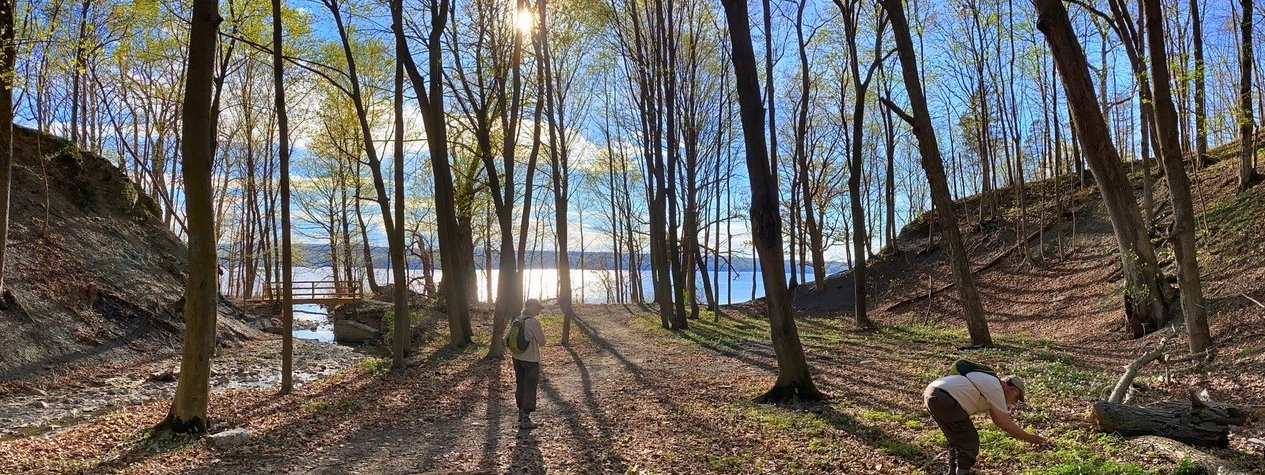
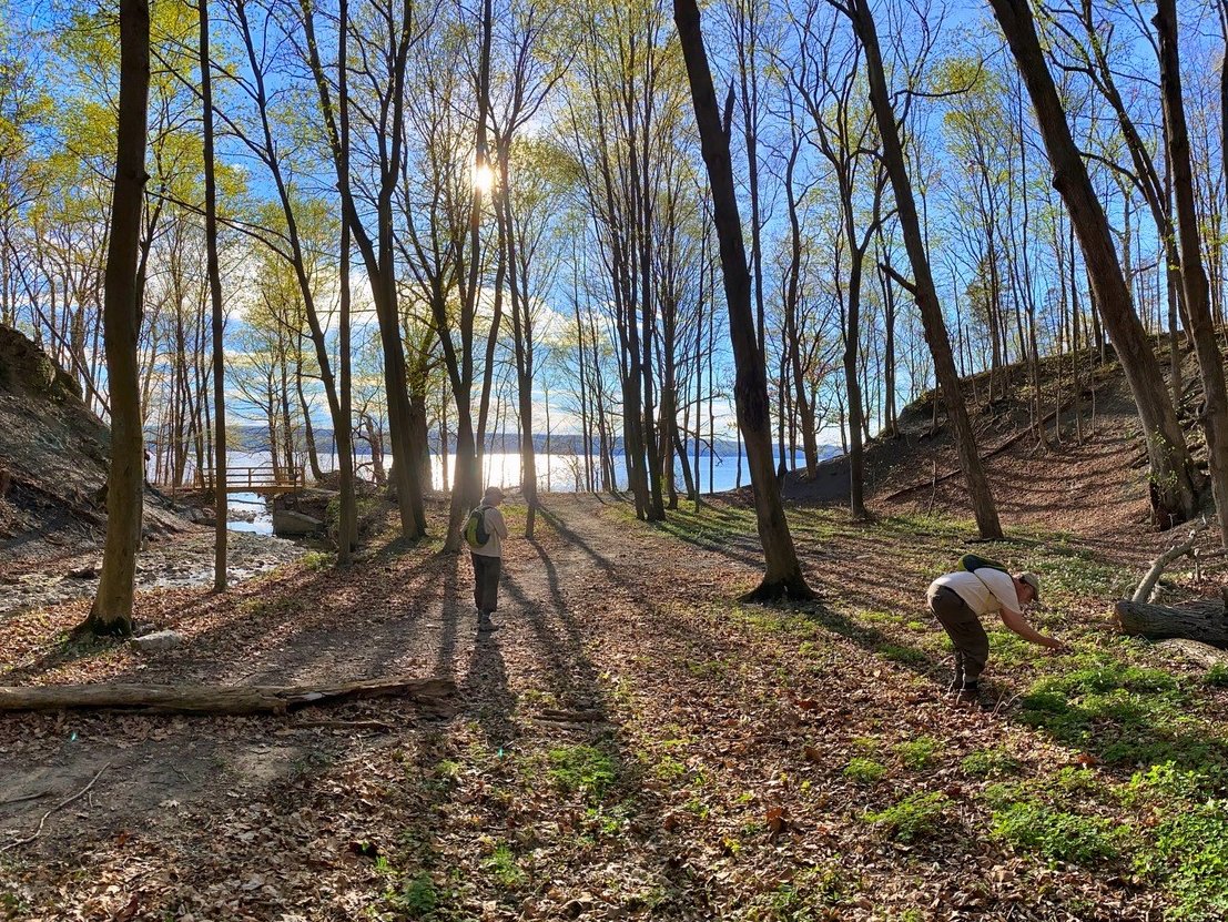
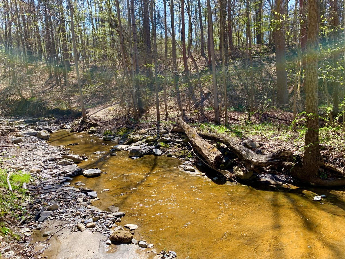
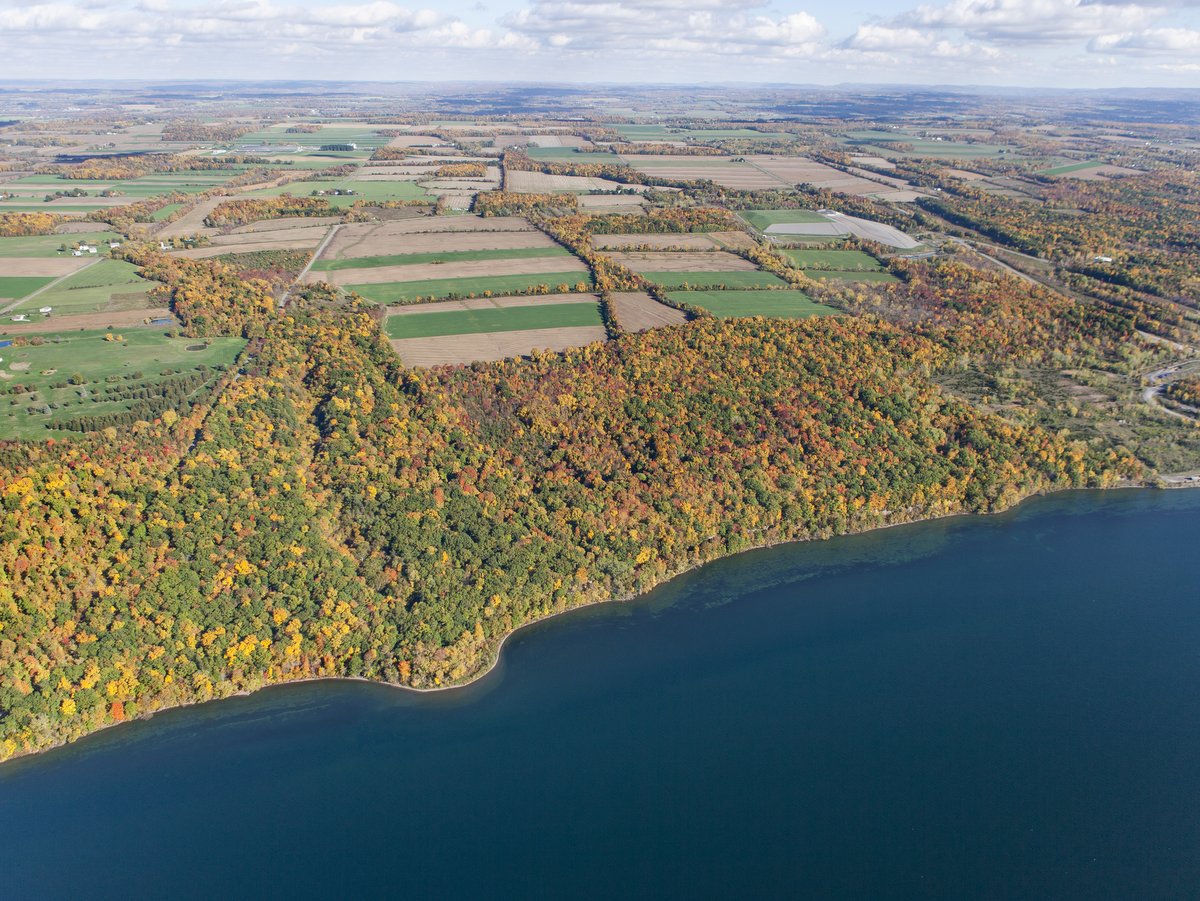
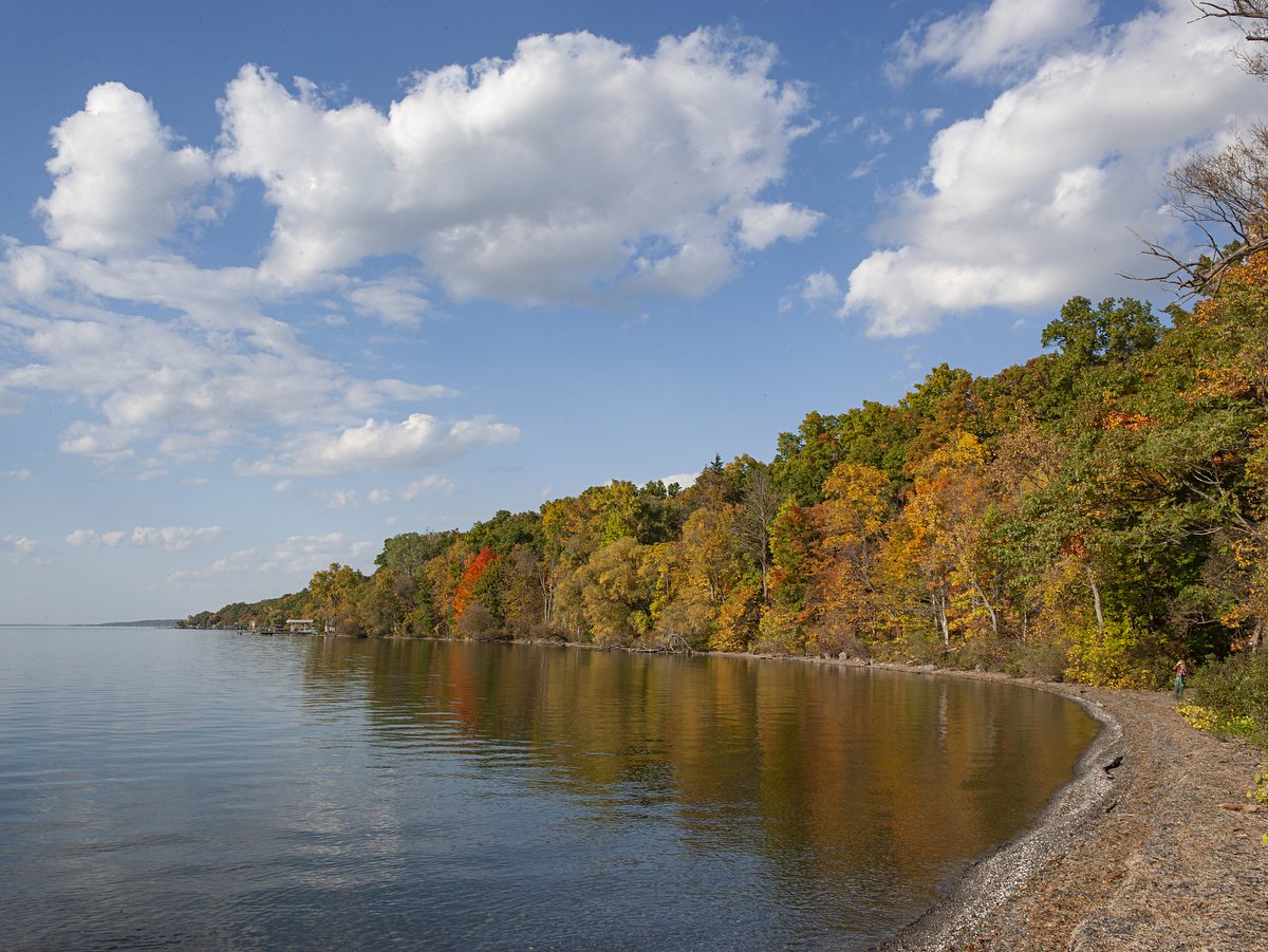
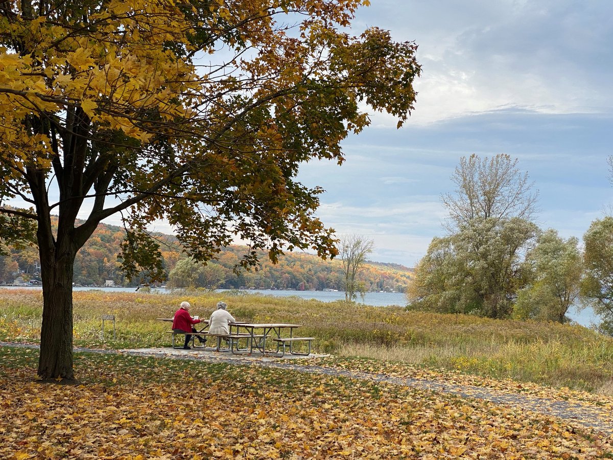
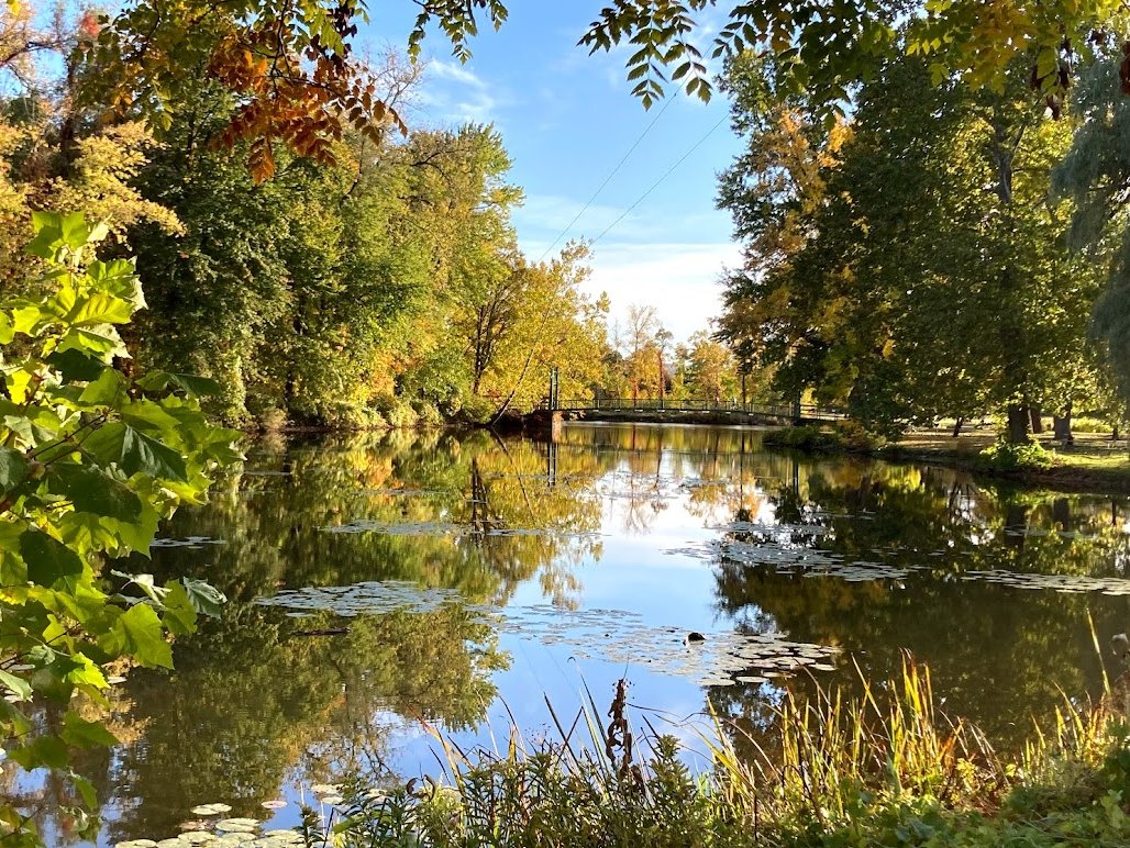
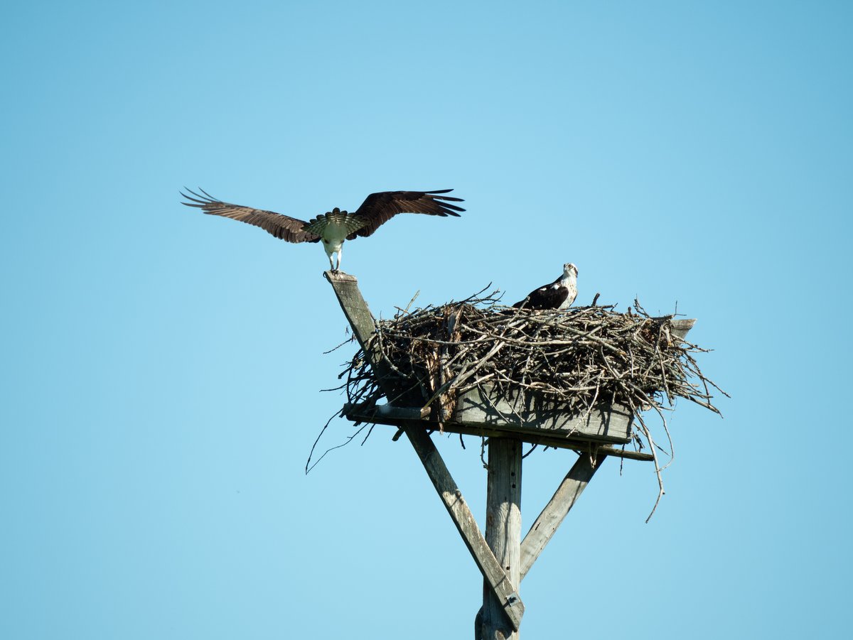
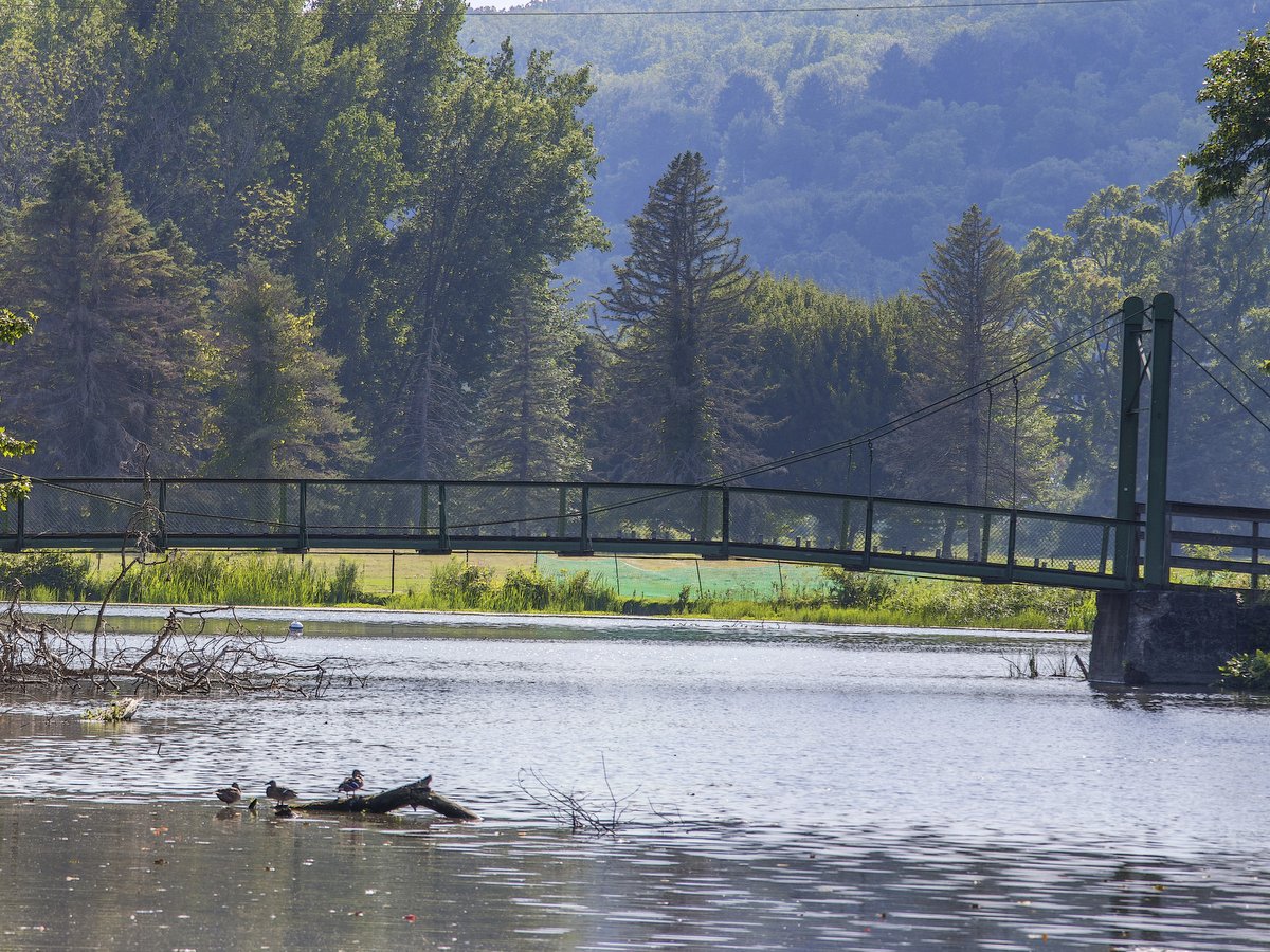
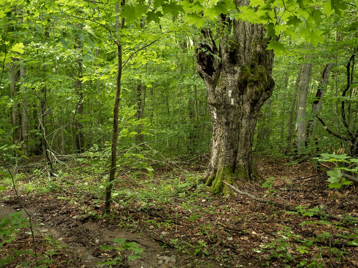
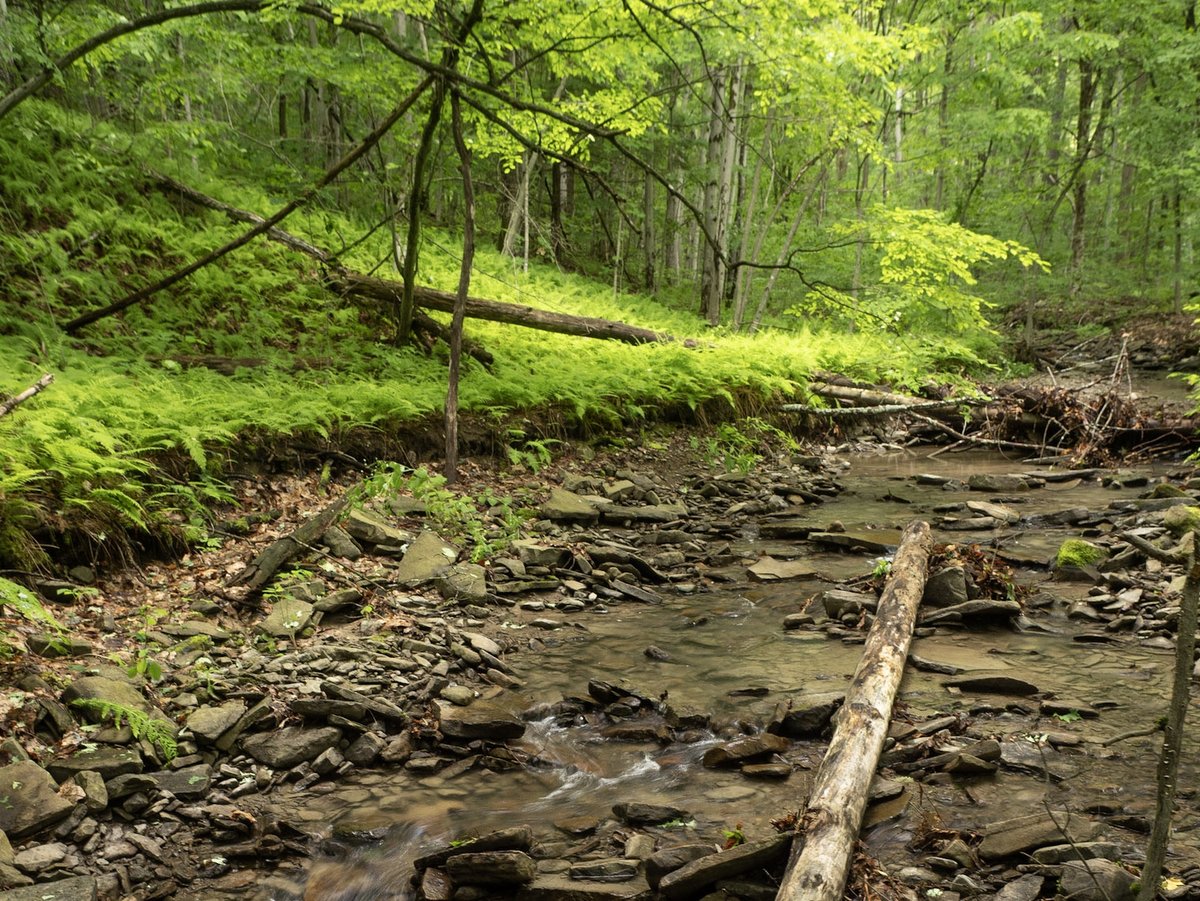
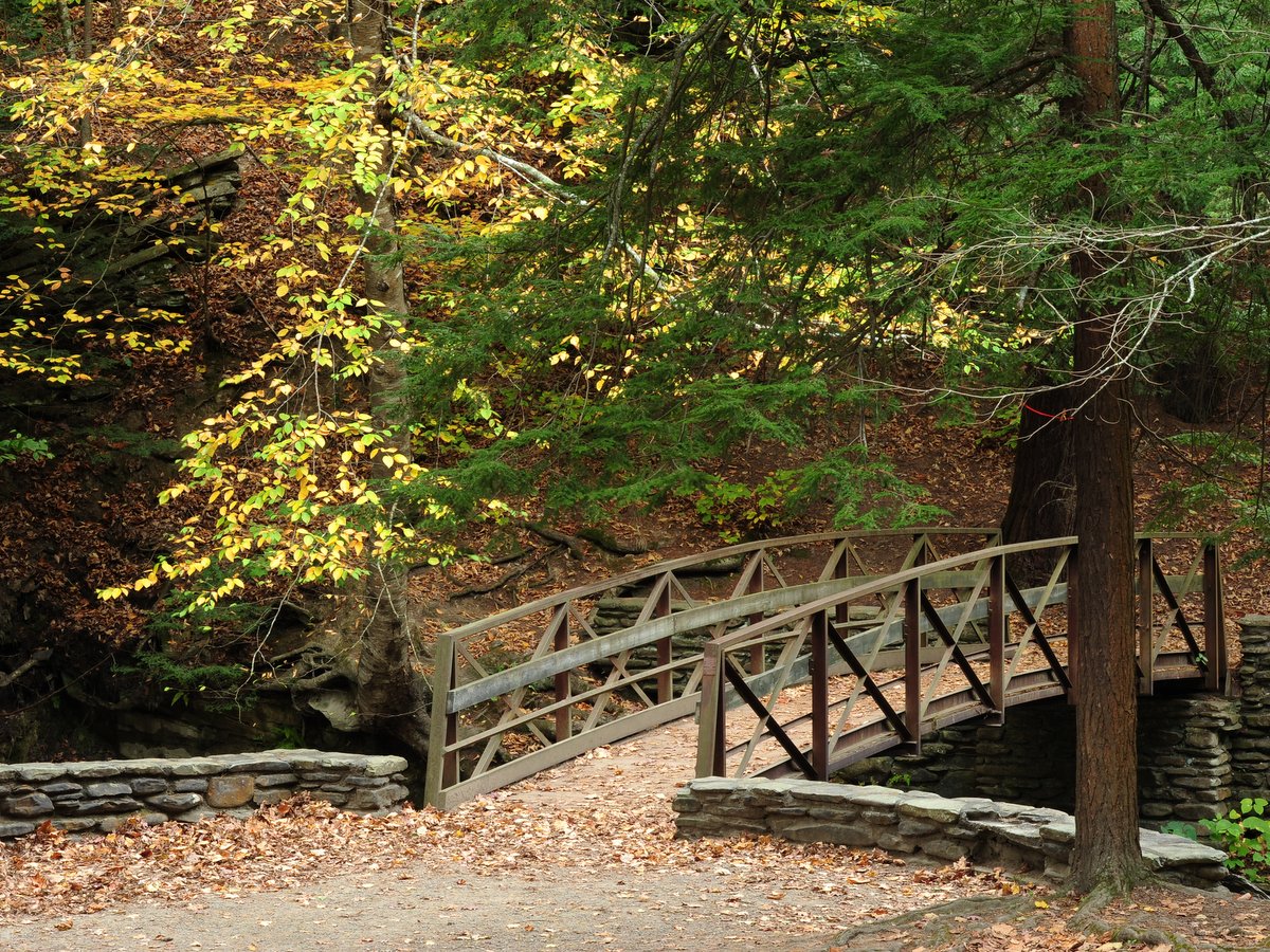
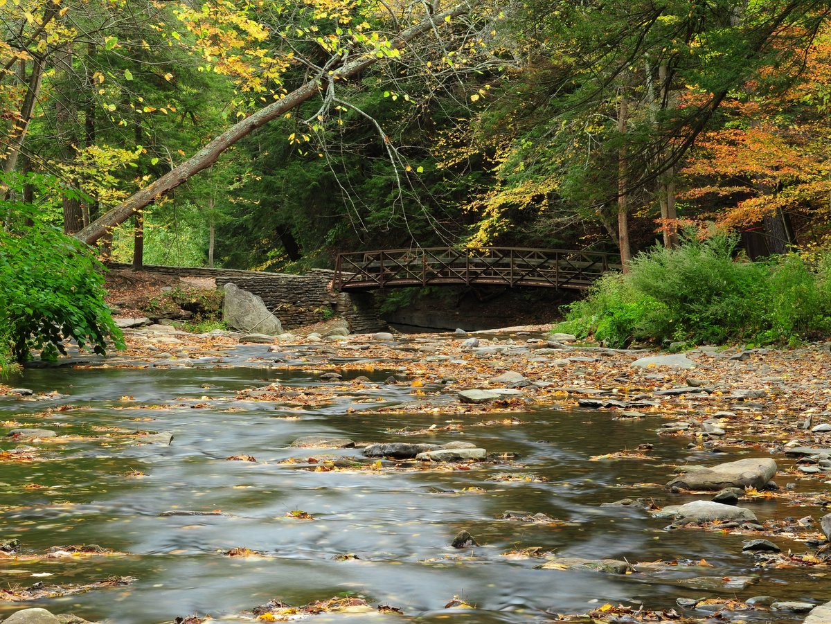
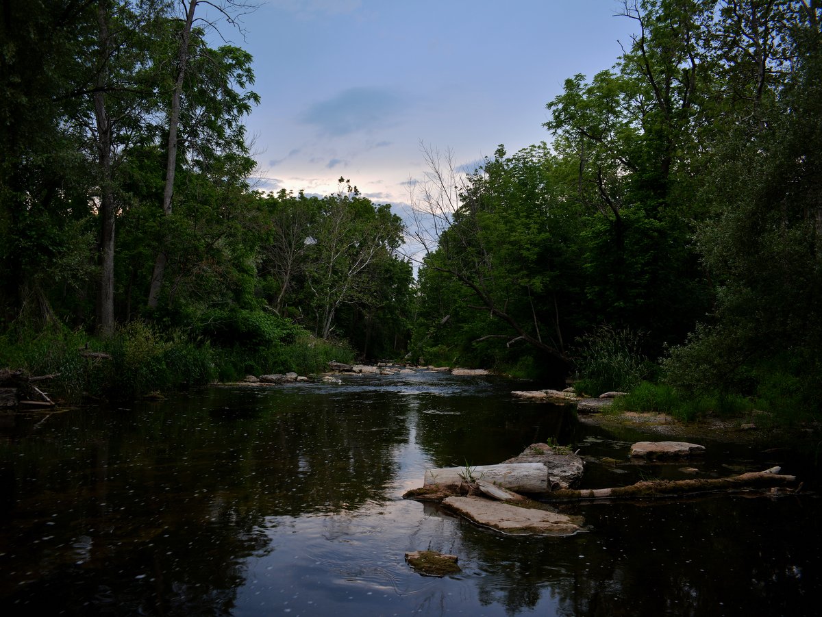
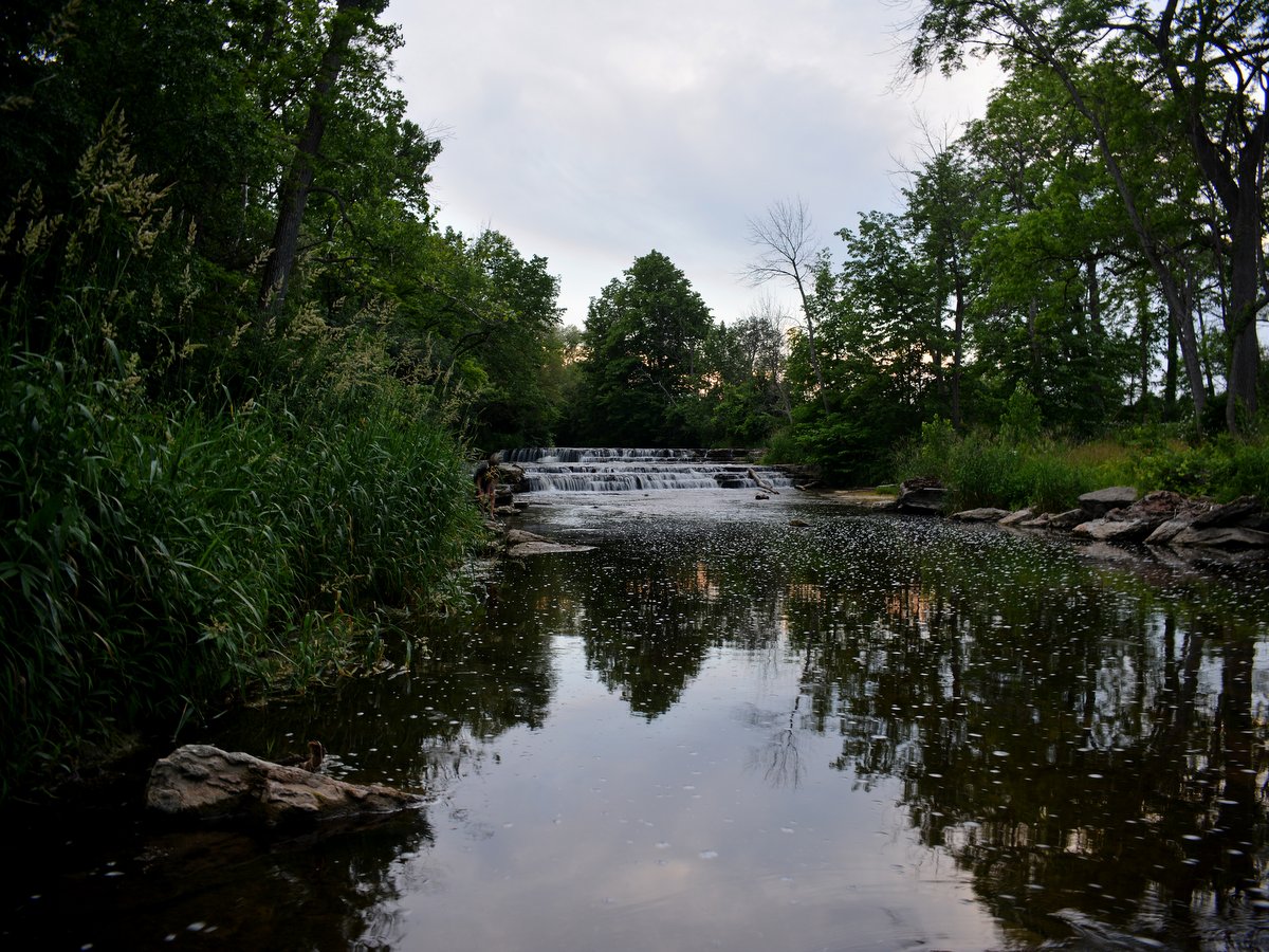
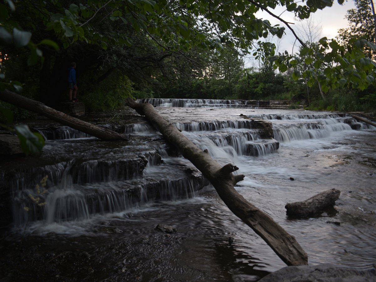
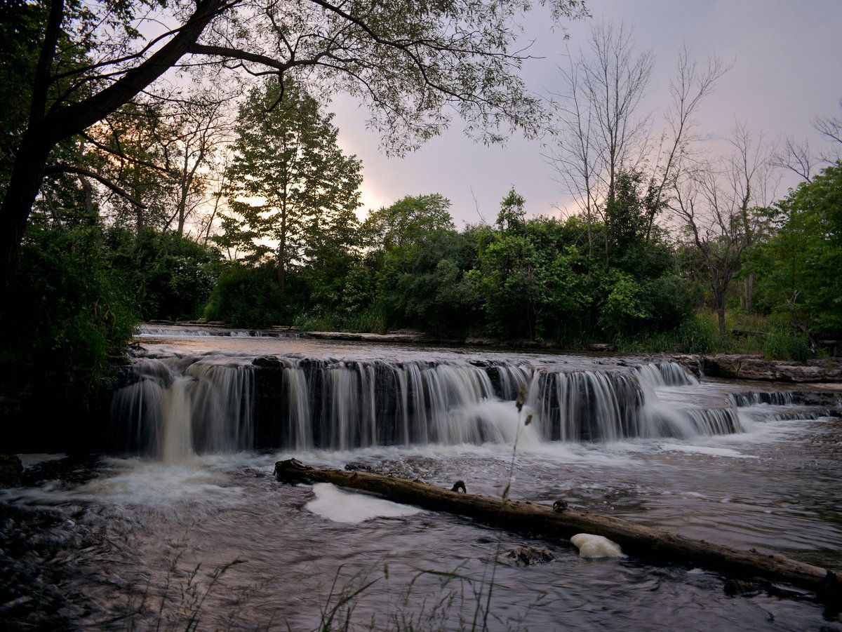
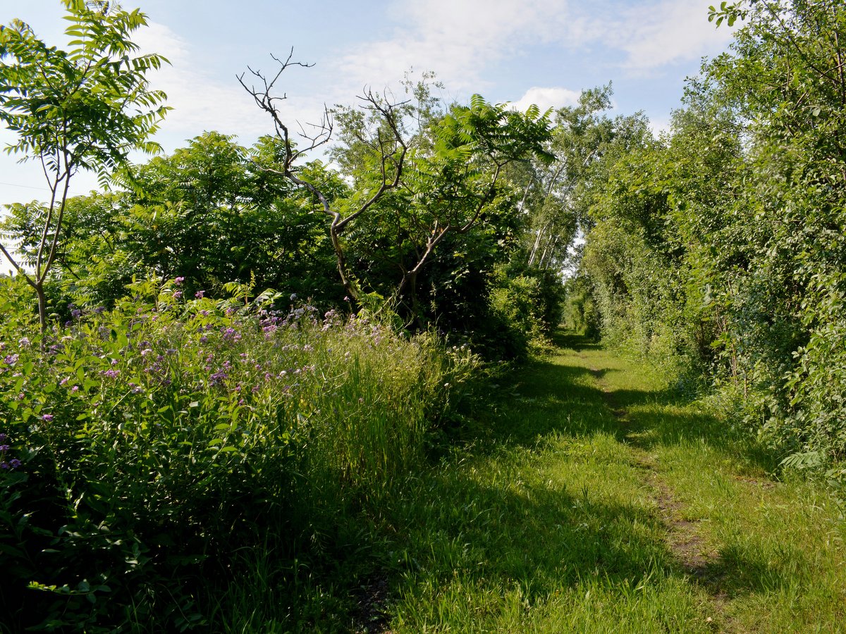
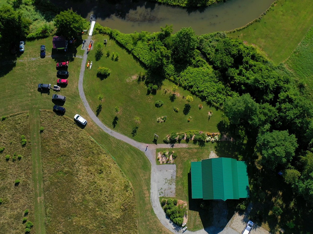
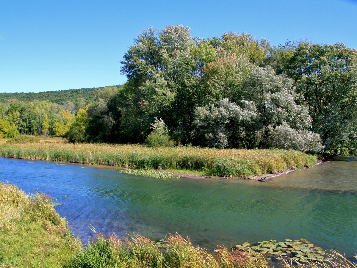
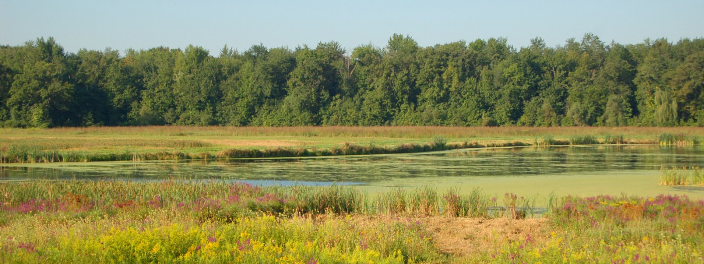
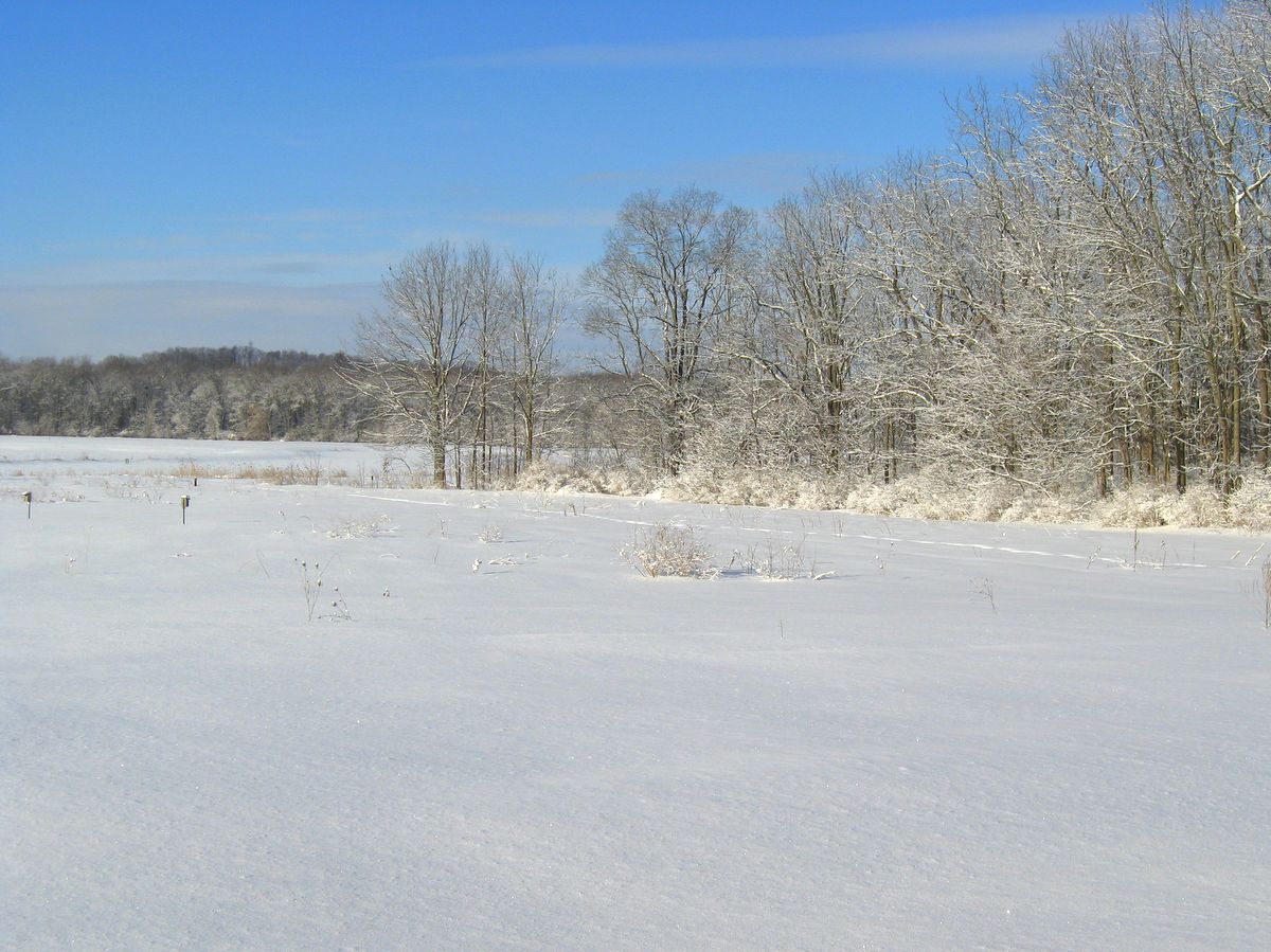
Located on the eastern shore of Cayuga Lake in Lansing, the Cayuga Shores Wildlife Management Area is a remarkable property that features 3,400 feet of pristine shoreline, wooded hillsides, extensive fields, and several small streams with cascading waterfalls.
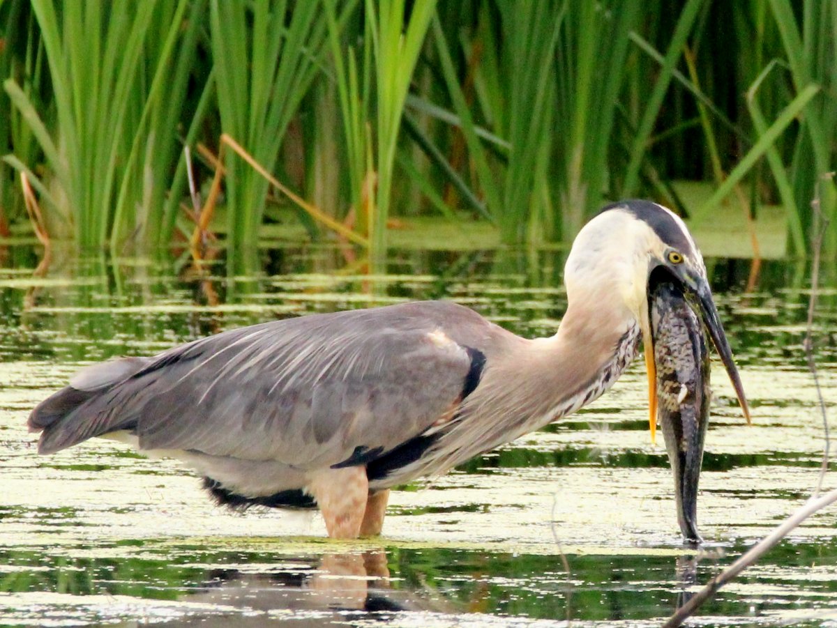
Follow the trail down to the lake and delight in discovering native plants, such as trillium and wild ginger, along the way. Let the lake breezes enliven your senses as you skip rocks along the water’s edge, or look for signs of wildlife. Bald Eagles are frequently seen on the property and waterfowl seasonally congregate off the shoreline.
Photo: Peter Carroll
Photo: FLLT
Photo: Peter Carroll
Photo: Bill Hecht
Photo: Bill Hecht
Photo: Bill Hecht
Photo: Jason Gorman
Photo: Jason Gorman
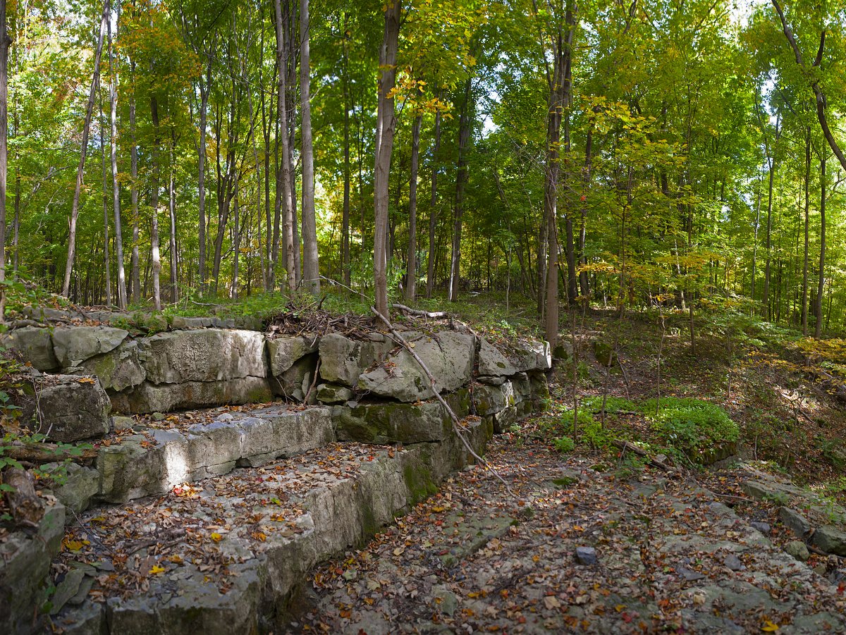
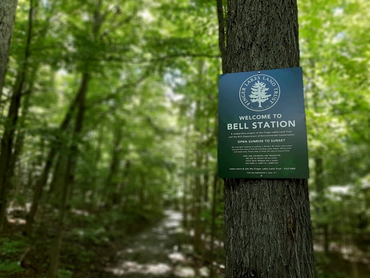
The property was originally acquired by New York State Electric & Gas (NYSEG) for a nuclear power plant that was never built. When NYSEG announced plans to auction the property to the highest bidder in September 2021, the Land Trust urged the community to get involved.
Fortunately, the community rallied and made its voices heard. Civic groups and local elected officials requested the cancellation of the auction and more than 4,000 citizens signed a petition calling for the same. Governor Kathy Hochul responded and secured a commitment from NYSEG to cancel the auction and instead negotiate directly with the Finger Lakes Land Trust (FLLT) on a sale of the entire 480-acre property.
The FLLT had been pursuing the conservation of the property, known as Bell Station at the time, for a number of years. Its interest was shared by the New York State Department of Environmental Conservation (DEC) which designated the FLLT as its agent to pursue acquisition of the land. In May 2022, the organization purchased the property.
In 2024, the FLLT transferred the lakeshore portion of the property to the DEC to be managed for recreational uses including hiking, wildlife watching, hunting, and fishing. In partnership with the Town of Lansing, the organization is also exploring the feasibility of utilizing 200 acres of the property for solar energy production.
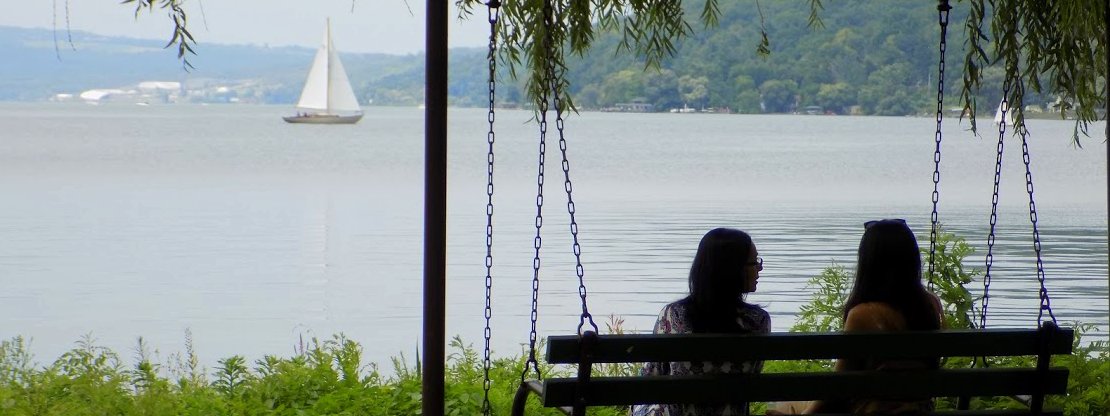
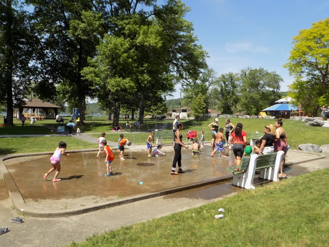
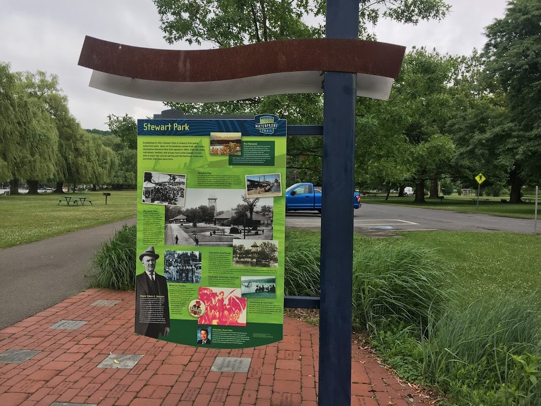
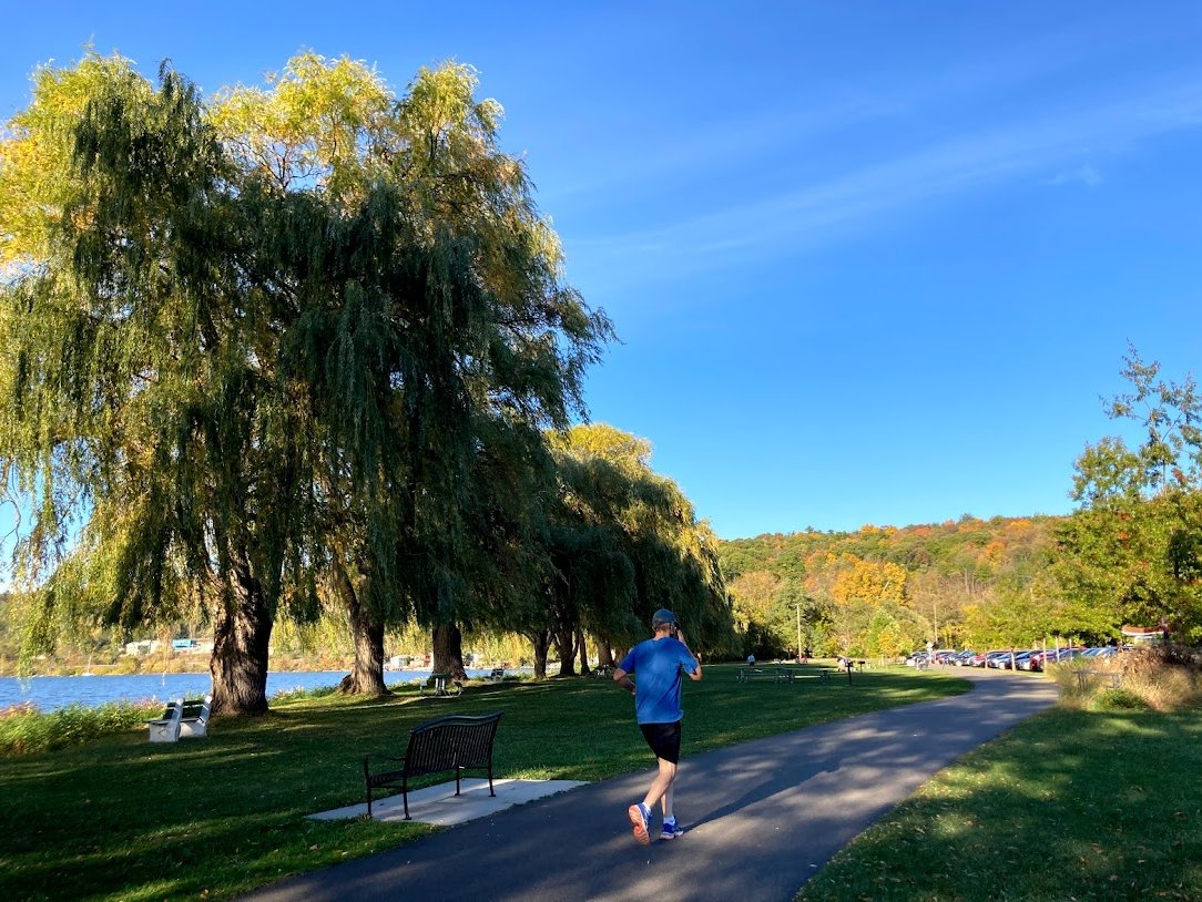
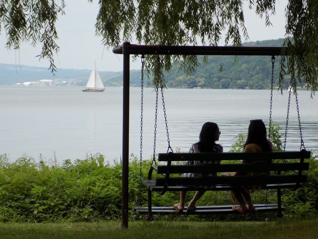
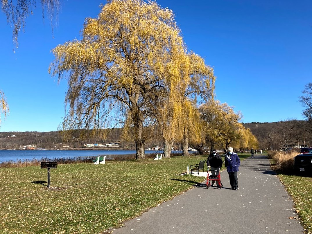
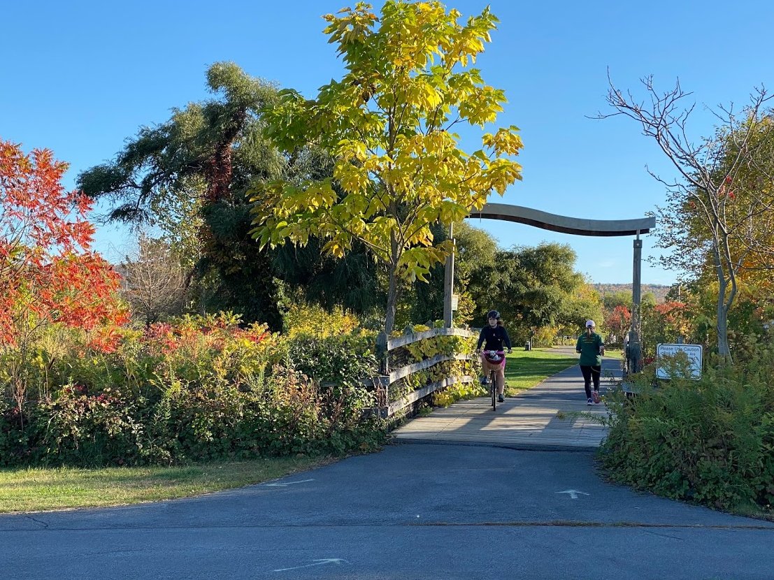
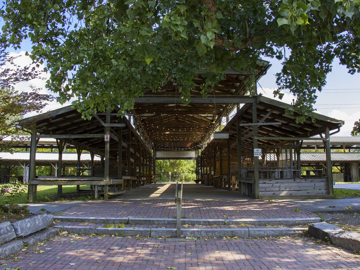
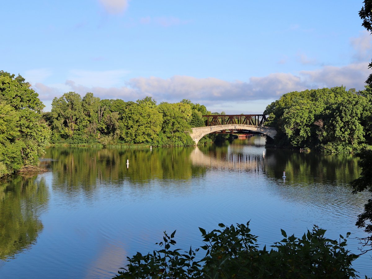
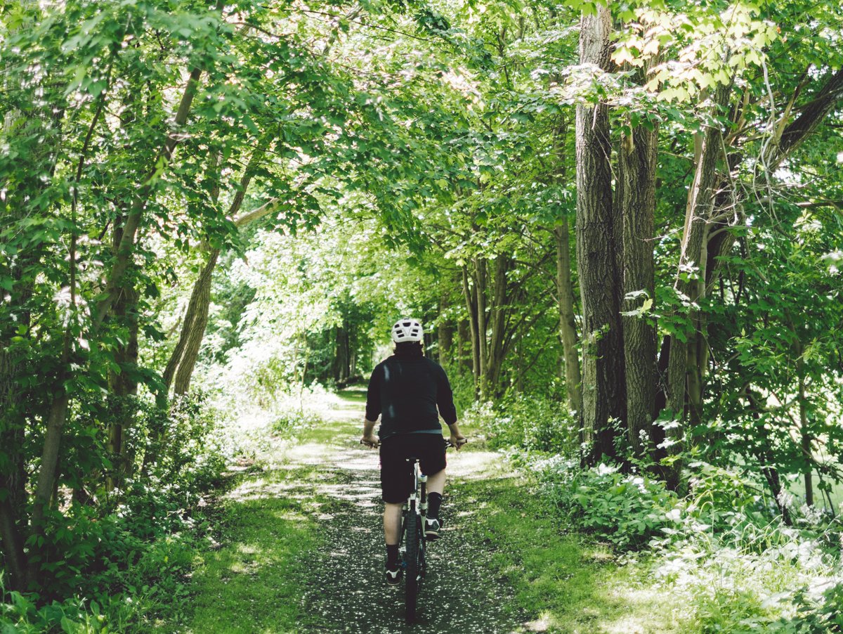
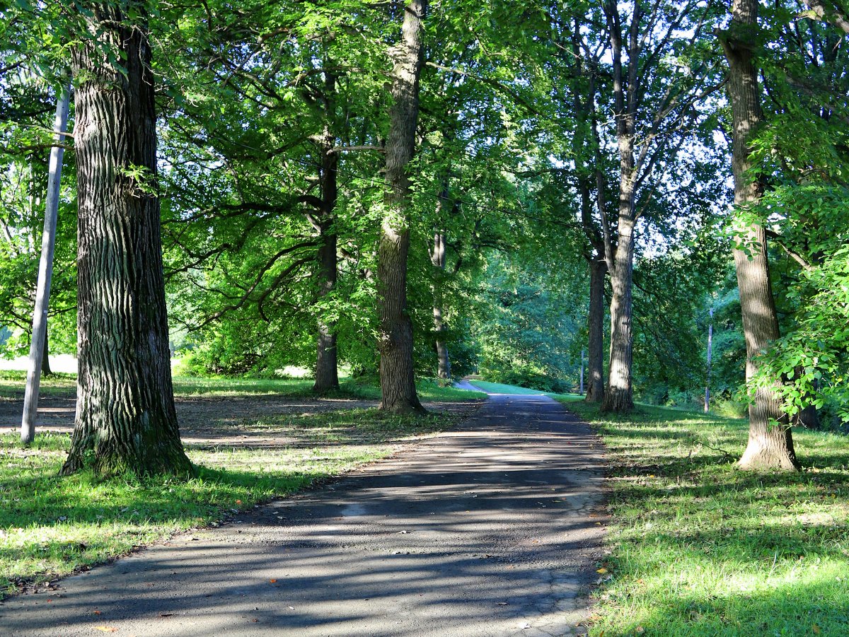
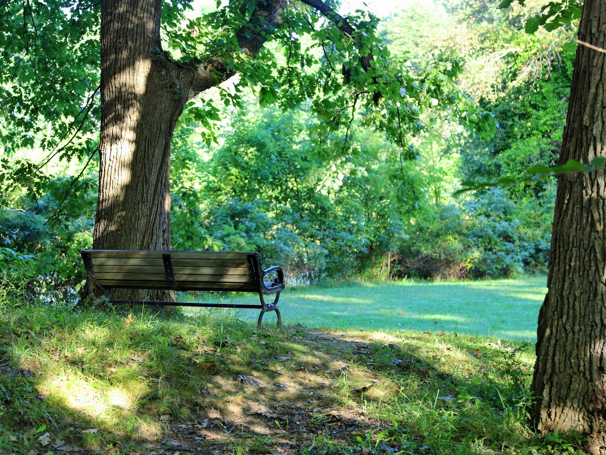
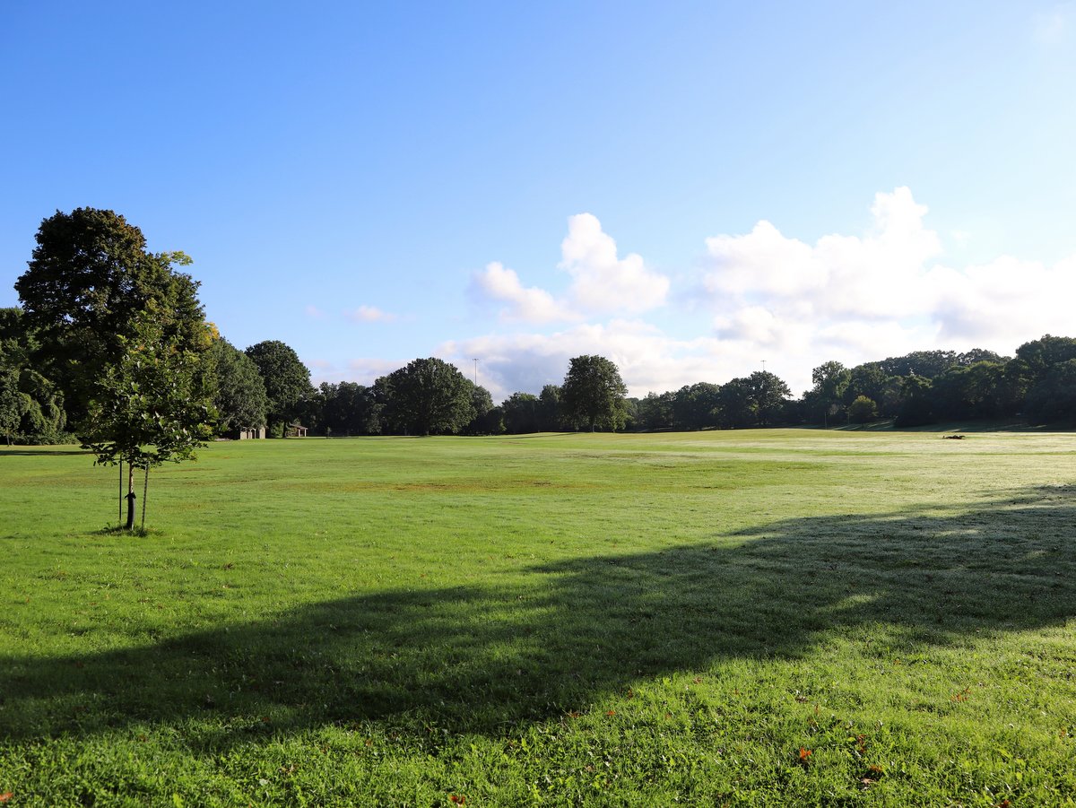
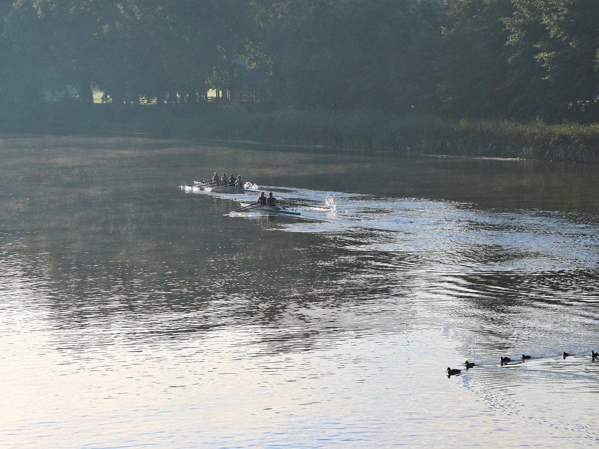
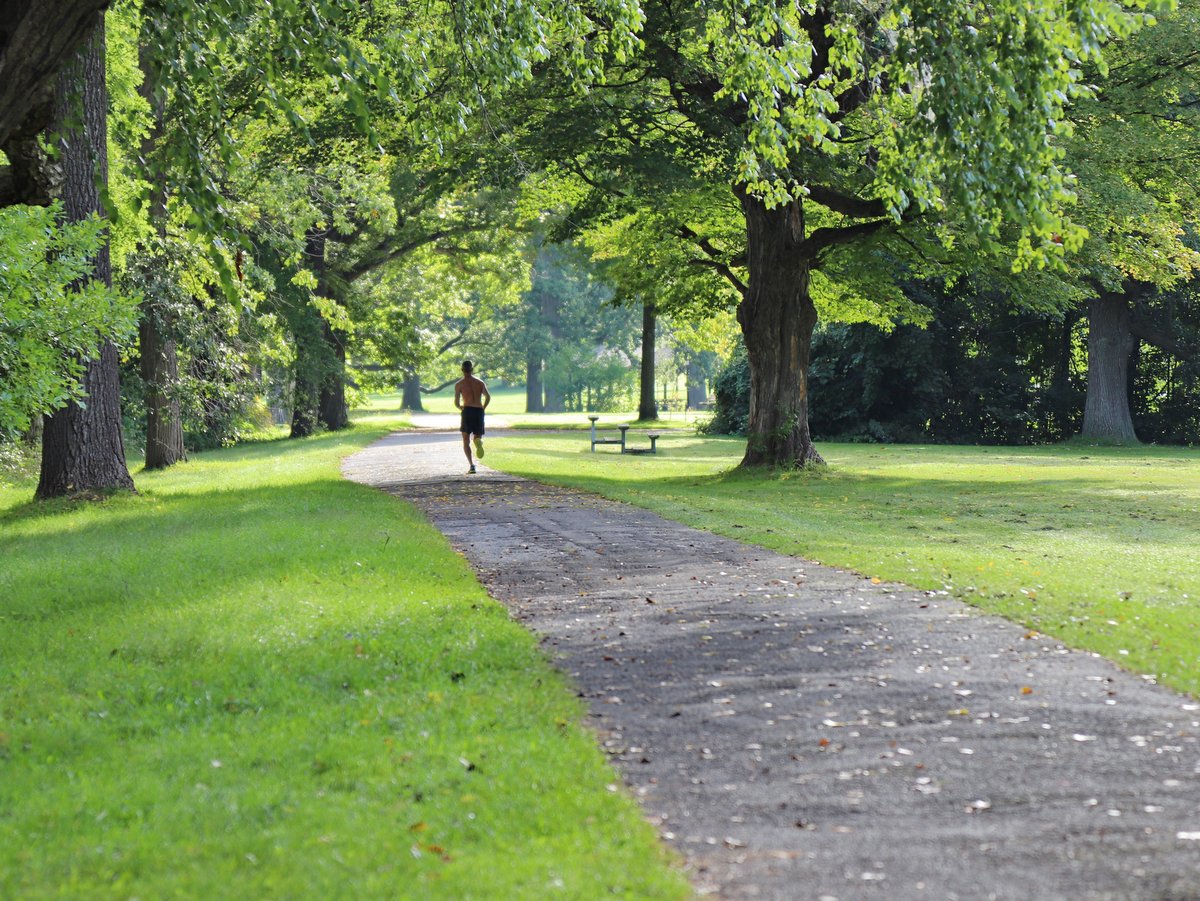
Whether you walk a mile or run the full, 16-mile round trip, the Cayuga Waterfront Trail (CWT) is a great way to experience all that Ithaca’s Cayuga Lake waterfront has to offer. Benches, scenic overlooks, interpretive signs, and trailheads with decorative paving and kiosks help make the CWT a special place to relax or exercise, all while enjoying Ithaca’s beautiful waterways.
Photo: Friends of Stewart Park
Photo: Friends of Stewart Park
Photo: Friends of Stewart Park
Photo: Jeff Katris
Photo: Jeff Katris
Photo: Friends of Stewart Park
Photo: Friends of Stewart Park
Photo: Friends of Stewart Park
Photo: Friends of Stewart Park
Photo: Friends of Stewart Park
Photo: Friends of Stewart Park
Photo: Friends of Stewart Park
Photo: Friends of Stewart Park
Photo: Chris Ray
Photo: Chris Ray
Photo: Chris Ray
Photo: Chris Ray
Photo: Chris Ray
Photo: David Way
Photo: David Way
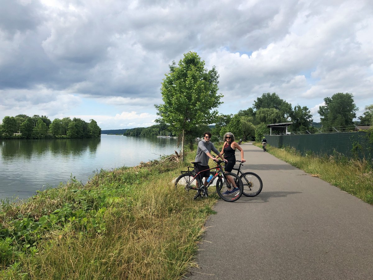
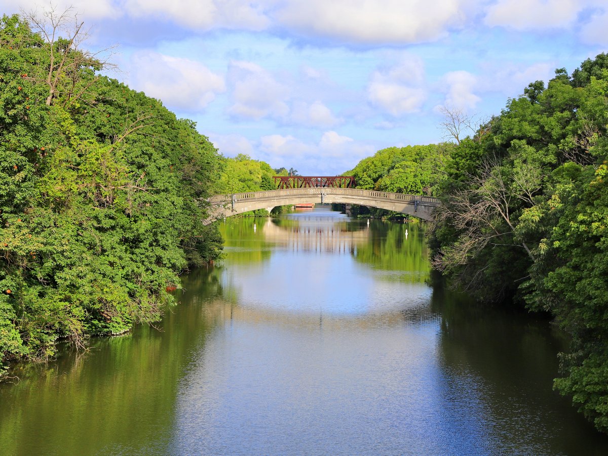
The paved CWT is a safe and accessible eight-mile, multi-use trail connecting Stewart Park to the Allan H. Treman State Marine Park, linking many popular waterfront destinations along the way. Other stops on the trail include the Ithaca Youth Bureau, Newman Golf Course, the Ithaca Farmers Market, Cornell University and Ithaca College Boathouses, and Cass Park. The CWT also connects to the Black Diamond Trail near the Ithaca Children’s Garden, providing an additional 8-miles of rail trail along the west side of Cayuga Lake and ending at Upper Taughannock Falls State Park.
The CWT can be accessed at a variety of locations by car: Stewart Park, Cass Park, the Ithaca Farmer’s Market, and Allan H. Treman State Marine Park. By bicycle or on foot, the trail can be easily and safely accessed from the Fall Creek neighborhood where Dey and 3rd streets cross Route 13, and from the Northside neighborhood at Court and Buffalo streets.
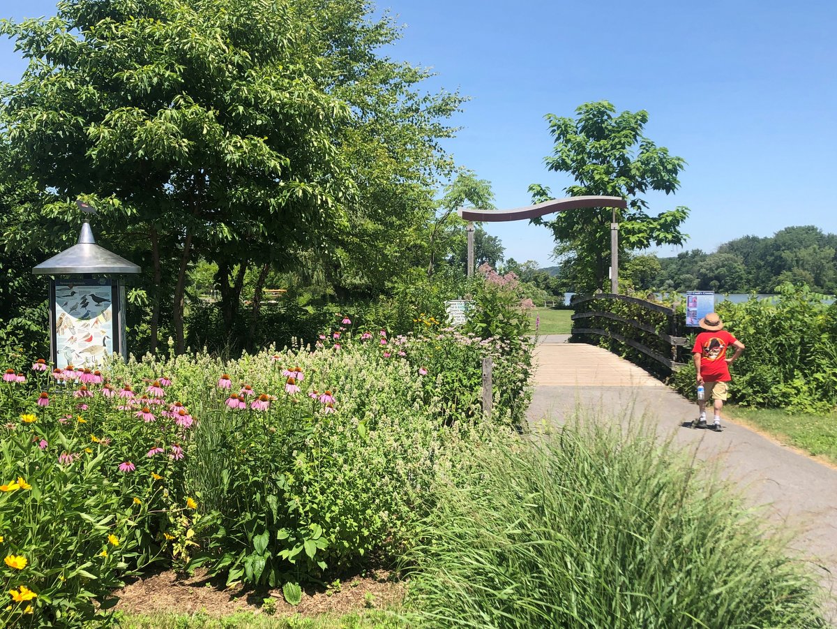
The CWT’s six trailheads—Ithaca Youth Bureau, Stewart Park, Farmers Market, Inlet Island, Cass Park, and the Black Diamond Trail entry—have trail maps, interpretive panels, benches, bike racks, and native pollinator plantings. Other interpretive panels and overlooks have been developed at sites of scenic, natural, or historic interest including the Renwick Wildwood, Crew Cove Overlook, Southern Gateway to the Erie Canal, Bordoni Fitness Trailhead, the Cass Park Bird Garden and Kiosk, Priscilla Point, and the Inlet Overlook.
The trail is used by pedestrians, cyclists, rollerbladers, dog walkers, and people of all abilities. As you use the trail, please be courteous to other trail users. Stay right except when passing, signal audibly before passing on the left, and dismount bikes where indicated. Bicyclists and skaters should yield to pedestrians and maintain a speed that promotes the safety and comfort of pedestrians (below 10 MPH). Electric-assist wheelchairs, recreational bicycles, scooters, and skateboards are allowed on the trail but should also maintain a safe speed (below 10 MPH). Other motorized vehicles are prohibited from using the trail. Dogs are welcome on a short leash. Please clean up your dog’s waste. Mutt Mitts are provided at dog care stations in Stewart Park and Cass Park.
Winter is a great time to enjoy the waterfront trail; however, the only section that receives winter maintenance is the stretch along Cass Park. City employees do their best to clear the trail in a timely manner after every snow, so this is by far the safest section of the trail in cold weather. If you choose to enjoy the trail during the winter, be careful and have fun!
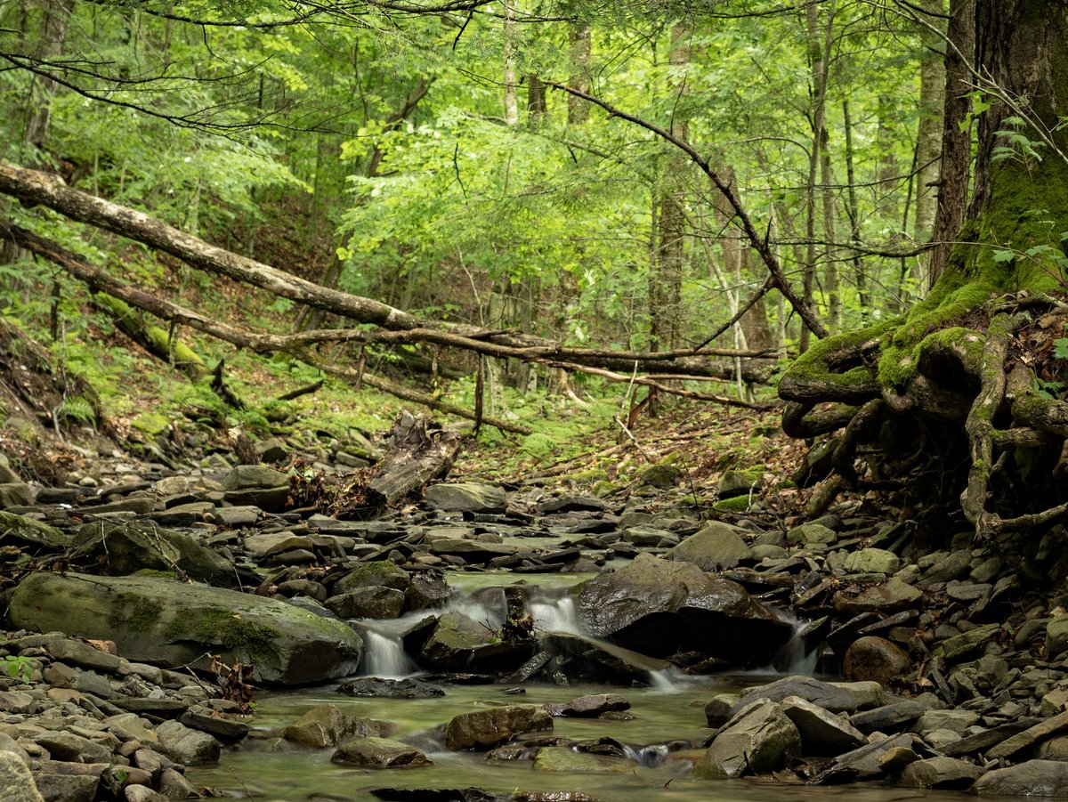
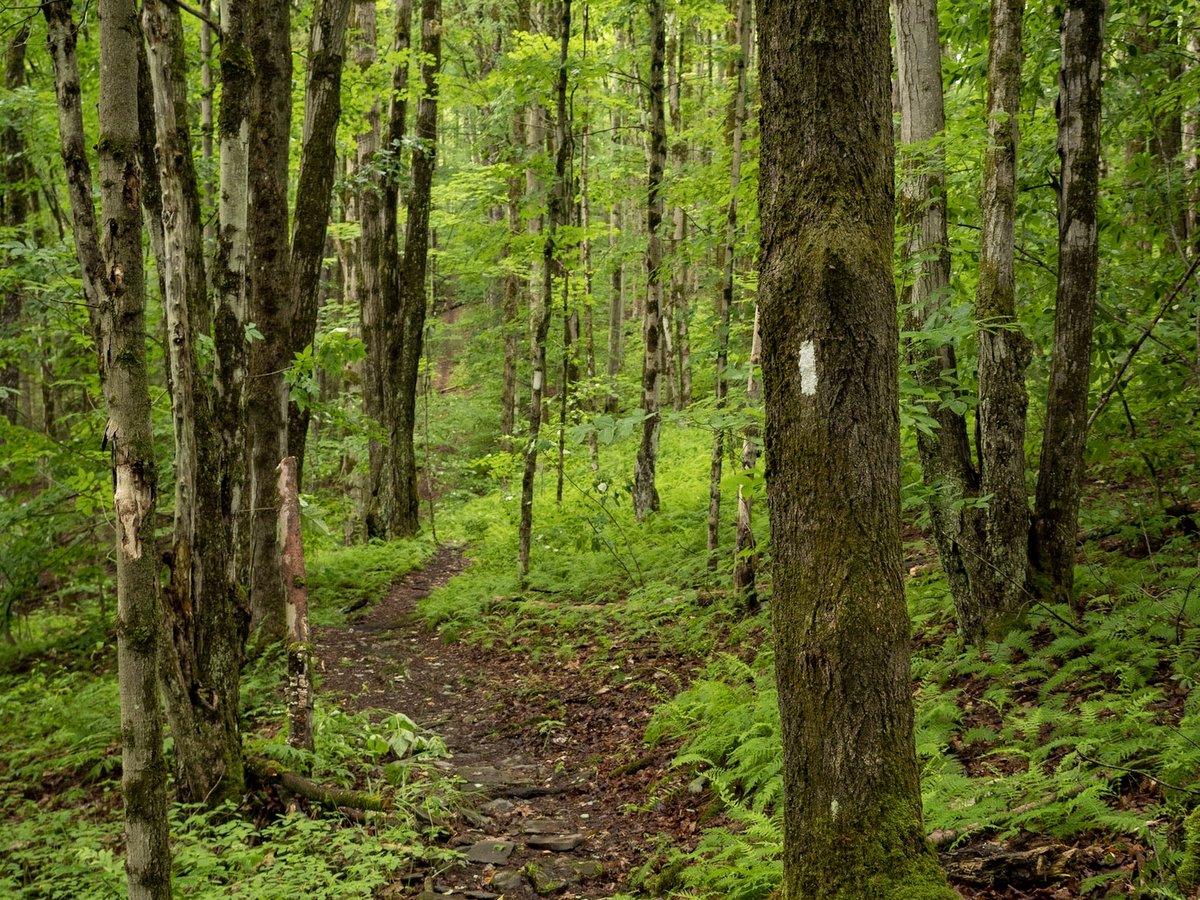
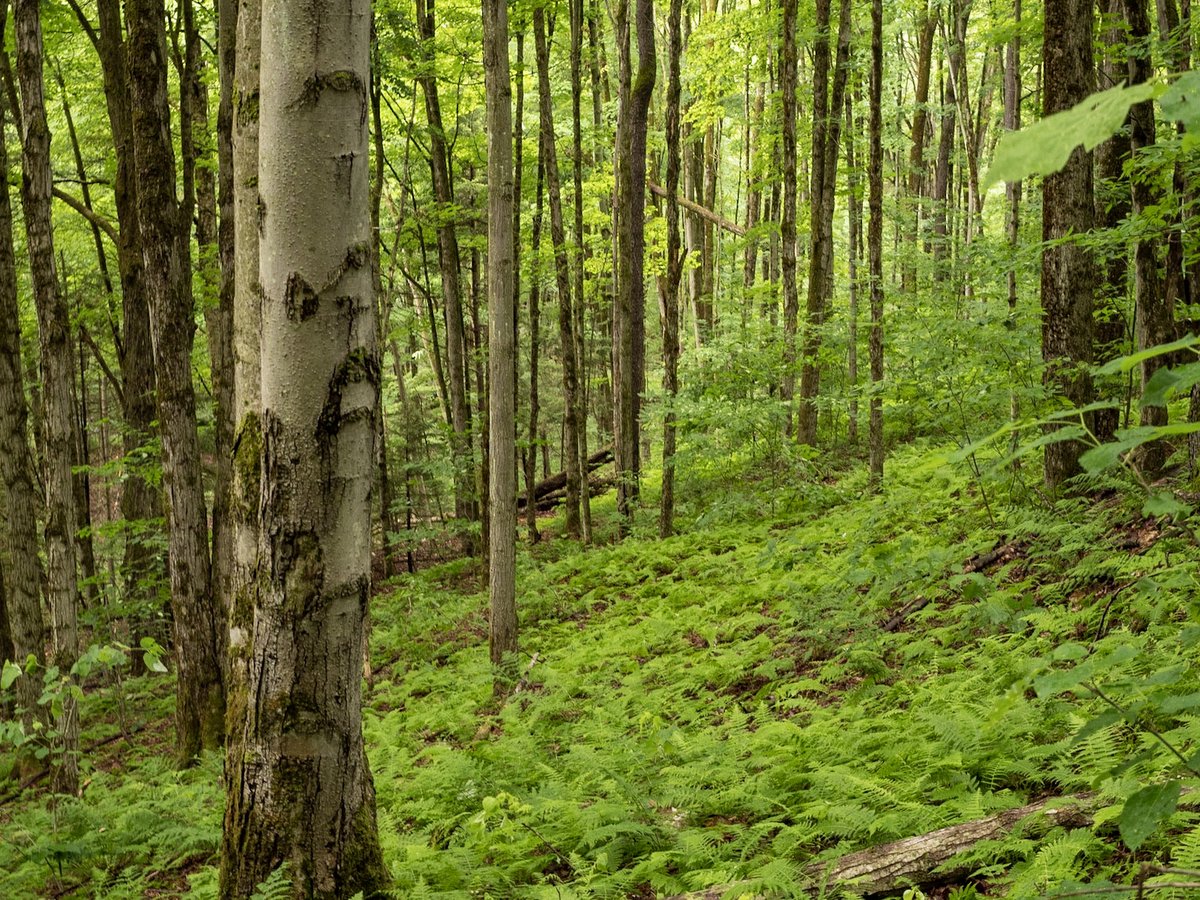
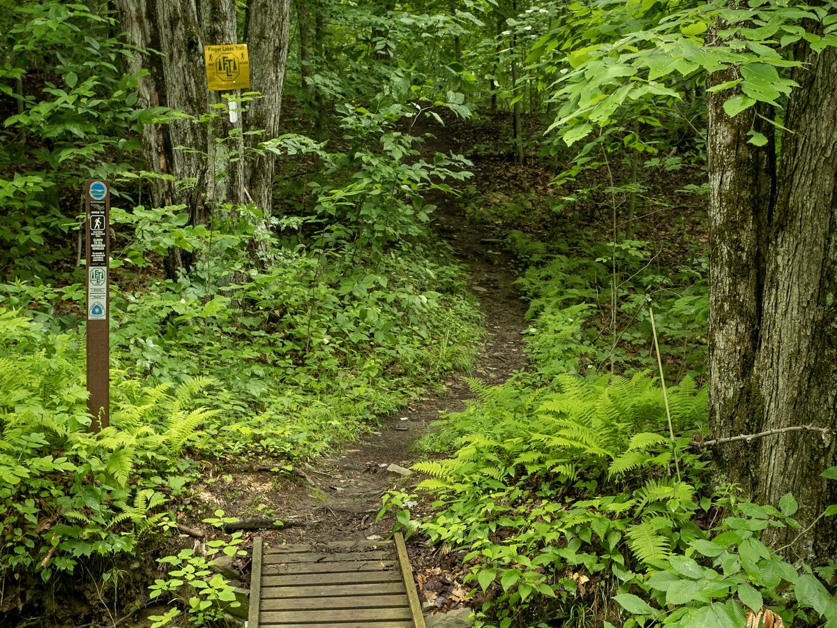
For hikers who hate to retrace their steps, you can’t go wrong in choosing from the many loop hikes at James Kennedy State Forest. The 4,507-acre forest is a packed collection of named trails, including short, one-mile family-friendly loops; short half-day loops; and, figure-eights or more convoluted patterns to hike all day or overnight. Trails are well marked, but with so many loops and options, it is advisable to buy the multipage set of maps dedicated to the area from the Finger Lakes Trail Conference.
The named loop hikes, from longest to shortest, are Figure 8, International, Virgil Mountain, Dabes Diversion, Spanish, Swedish, Lithuanian, English, and Irish Loops. Much of the trail system is a combination of single track footpaths and shaded forest roads. The white emblazoned main Finger Lakes Trail (FLT) runs along an east-west axis with the loop trails breaking off from it to both the north and south.
Photo: Chris Ray
Photo: Chris Ray
Photo: Chris Ray
Photo: Chris Ray
Photo: Chris Ray
Photo: Chris Ray
Photo: Chris Ray
Photo: Chris Ray
Photo: Chris Ray
Photo: Chris Ray
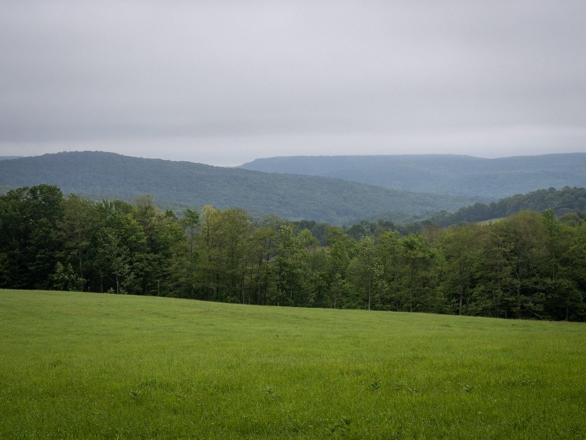
The Virgil Mountain Loop is one of the more popular hikes in James Kennedy State Forest, but its name is slightly deceptive since there are no mountains in the Finger Lakes region. The rounded, over-steepened forested hilltops that dot the landscape are not a result of a mountain building event (such as tectonic plates colliding as seen in the Catskills or a rising bubble in the Earth’s crust like in the Adirondacks). Rather the Finger Lakes landscape is a plateau of an ancient sea bed that has been gouged out and sculpted by glaciers. In fact, one of Virgil Mountain’s nicer features, a vista, tells exactly this story and why the name is a misnomer. Looking eastward from near the “mountain top” a landscape of densely forested hills of nearly equal elevation and U-shaped valleys without major rivers is revealed. These features are all evidence of a landscape gouged out and not one that was thrust upward. Virgil Mountain’s vista is courtesy of power lines that cut a wide swath through the otherwise dense forest canopy that would block the view.
A southern facing vista (and arguably more pristine view) is found along the Dabes Diversion Loop at its southern connection with the main Finger Lakes Trail. The view looks across a neighboring field of a privately owned farm, so be sure to remain within the forest boundaries while enjoying the pastoral scene. The two vistas can be enjoyed within the same excursion on the Figure 8 trail – a combination of the Virgil Mountain Loop and Dabes Diversion Loop.
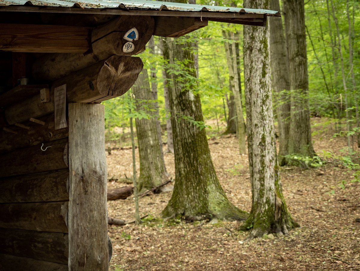
Hiking is not the only activity here. There are also three annual competitive running events; a passport hike mailbox located in the middle of Dabes Diversion to Kuzia cutoff trail for achievement hunters; and, four miles of dedicated cross-country skiing trails. Cross-country skiing and snowshoeing are also allowed on hiking trails, but trails dedicated for the experience are typically better suited for skiers. And like any state forest, primitive camping is allowed in the forest, but there are also the Foxfire lean-to and designated camping areas along the Finger Lakes Trail for extended stays.
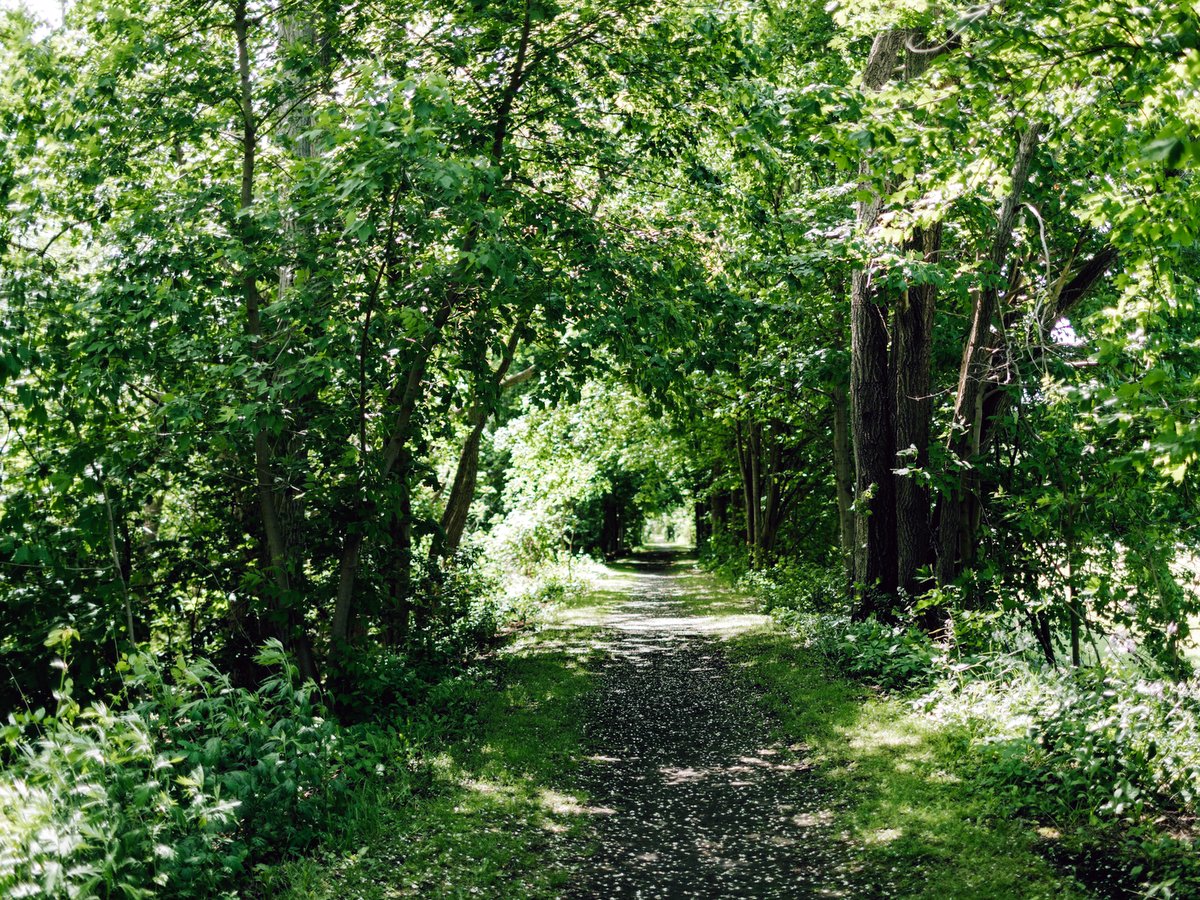
When imagining rail travel or canal travel in the 18th century, images that come to mind are small towns and villages, separated by vast agricultural fields, forested hills, and maybe even a meandering river. This would have been the experience of barges traveling along the Genesee Valley Canal in the 1840s and passengers on the Genesee Valley Canal Railroad in the 1880s, and a similar pastoral setting can be experienced along the ninety-mile Genesee Valley Greenway today! Connecting Rochester in the north and Cuba (New York of course) in the south, the Genesee Valley Greenway State Park is a wonderful example of repurposed infrastructure – towpaths and railroad beds – into a new vibrant multiuse trail.
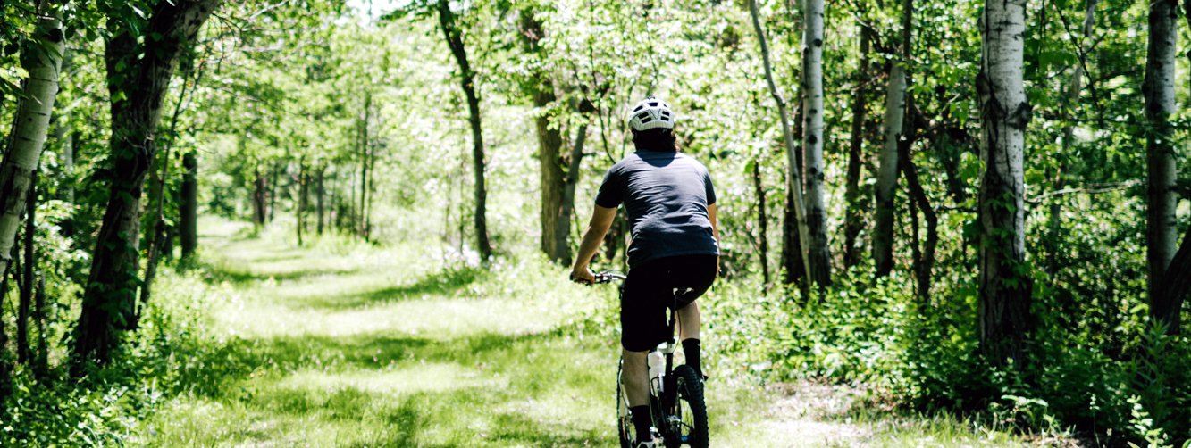
Greenways are often thought of as only cyclist and walking paths, but equestrians, snowshoers, skiers, snowmobilers, and fishermen utilize these routes to enjoy their favorite pastimes as well. Cyclists should note that while road bikes can utilize the trail, hybrid bikes are more suitable for the rougher sections. The trail base is mostly a mixture of cinders, gravel, and mowed grass, with small portions of stone dust and paving. As is the case with other repurposed rails-to-trails projects, two can comfortably ride or walk abreast, though multiuse trail etiquette dictates you stay to the right when sharing the spacing. It is mostly straight and level, especially for sections north of Mount Morris, and crosses 16 towns and five counties: Monroe, Livingston, Wyoming, Allegany, and Cattaraugus.
Photo: Nikki Kellogg
Photo: Larkin Ryan
Photo: Larkin Ryan
Photo: Larkin Ryan
Photo: Larkin Ryan
Photo: Larkin Ryan
Photo: Larkin Ryan
Photo: Nikki Kellogg
Photo: Nikki Kellogg
Photo: Nikki Kellogg
Photo: Nikki Kellogg
Photo: Nikki Kellogg
Photo: Nikki Kellogg
Heading North to South, the northern tip of Letchworth State Park at Mount Morris is just shy of one-third of the total trail length. The trail once passed through the park, just as the canals did, but due to erosion of the gorge wall, it has been rerouted to the east passing through Sonyea and Tuscarora. Another quarter of the total trail length is accounted for in reroute that reconnects to the southern tip of Letchworth near Portageville, a little past the midpoint of the trail. The intermingling of off-road and on-road portions of the route are more frequent and with greater portions on-road south of Letchworth. The work on this trail is not complete with improvements and repairs made each year, so in a way the route, much like its history, is ever-evolving. For current trail conditions, including reroutes, check out the Friends of Genesee Valley Greenway website: fogvg.org.
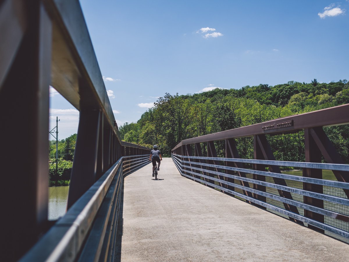
Ninety miles of trail means it is unlikely you will make the trip in one day (it is certainly possible for dedicated cyclists), but the long trek traveler will be happy to know that accommodations are accessible along the route. Occasionally these same establishments served the canal and rail travelers from the 19th century. If ninety miles of trail is not enough, consider extending your trip along the Triple Divide Trail system: 230 miles connecting Lake Ontario to Williamsport PA; or, continue East or West along the 400-mile Erie Canal trail from Albany to Buffalo; or, the 950-mile Finger Lakes Trail; or, explore one of many shorter spur foot and bike paths into nearby parks, wildlife management areas, and forests.
Like many rails-to-trails projects, the Genesee Valley Greenway (GVG) has a multistage history. Many stretches of the trail utilize the towpath of the Genesee Valley Canal which connected Rochester to Mount Morris in 1840 and was later extended to Olean on the Allegheny River, just north of the Pennsylvania border. The full line was opened in 1862 but was closed in 1878 and sold to the newly formed Genesee Valley Canal Railroad which connected Rochester to Hinsdale in 1882. Vestiges of this past are visible in the towpaths and rail beds themselves, but also the old canal locks, canal turning basins, arched culverts, aqueducts, and signage dotting the trailside telling this rich history.
Taking a moment to stop and read helps imbue one with a sense of the deep history on these connections. The idea that an infrastructure investment nearly two hundred years ago is still in use and paying dividends today adds a new perspective on conservation and investing in communities. But the repurposing of the land was not a solitary event, it took decades of work by conservationists and outdoor enthusiasts to help secure and protect the land for public use. Its continued existence is in part the stewardship of the state, but also local groups and individuals who volunteer and contribute through Adopt a Trail Programs, annual cleanups, as well as financial and material contributions great and small. As these greenways expand, connecting communities physically and socially, more and more of New York will be connected by vehicle-free, vibrant corridors that bring outdoor enthusiasts one step closer to being able to walk, or more likely bike, across the state.
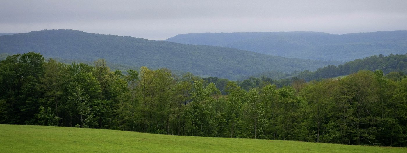
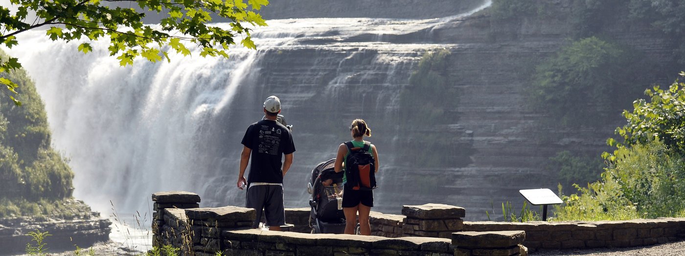
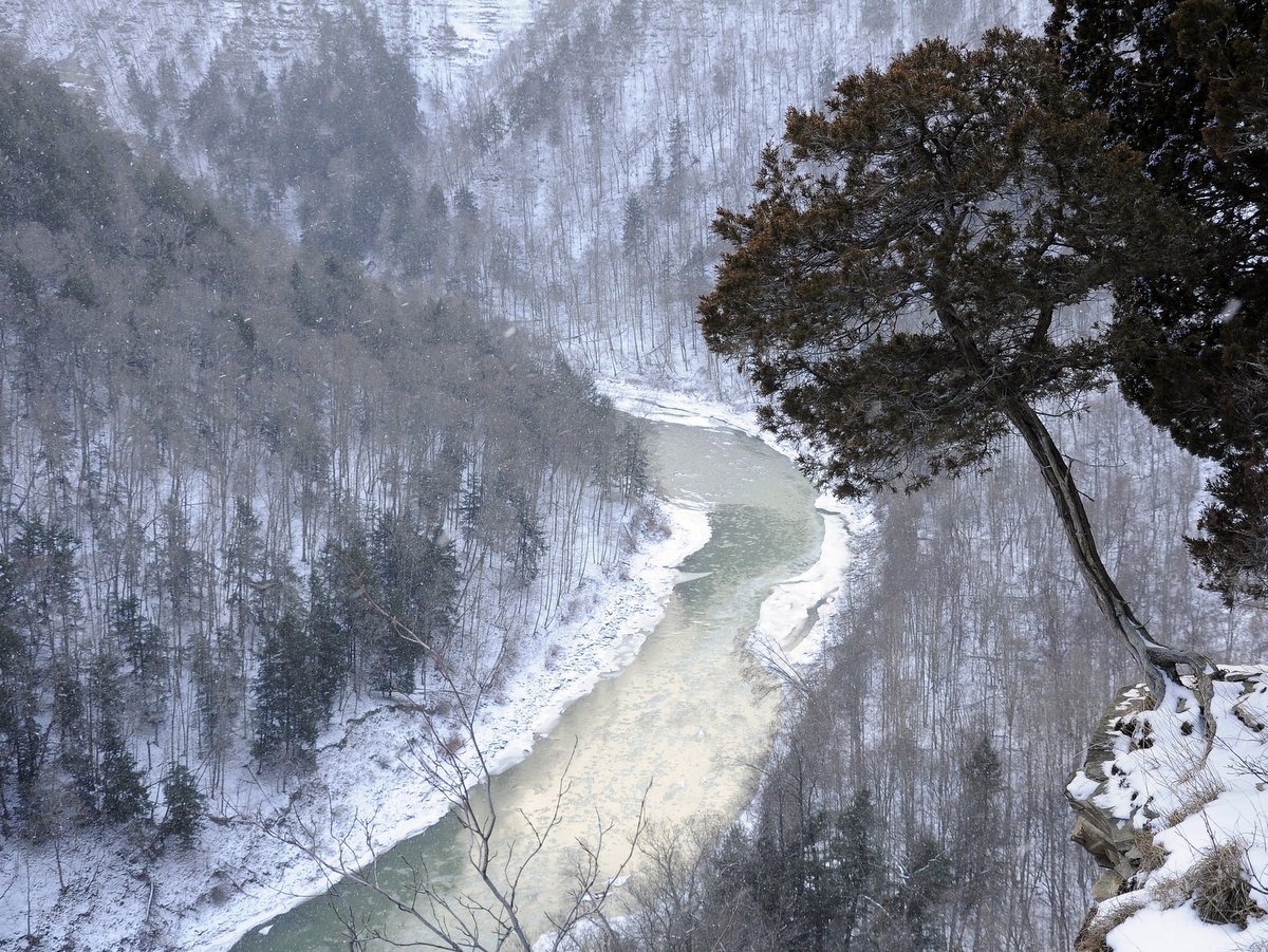
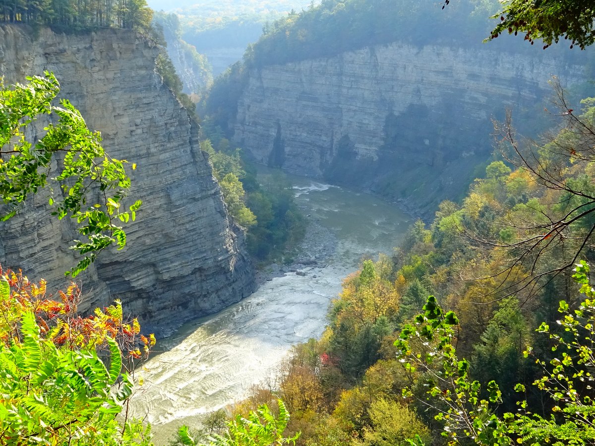
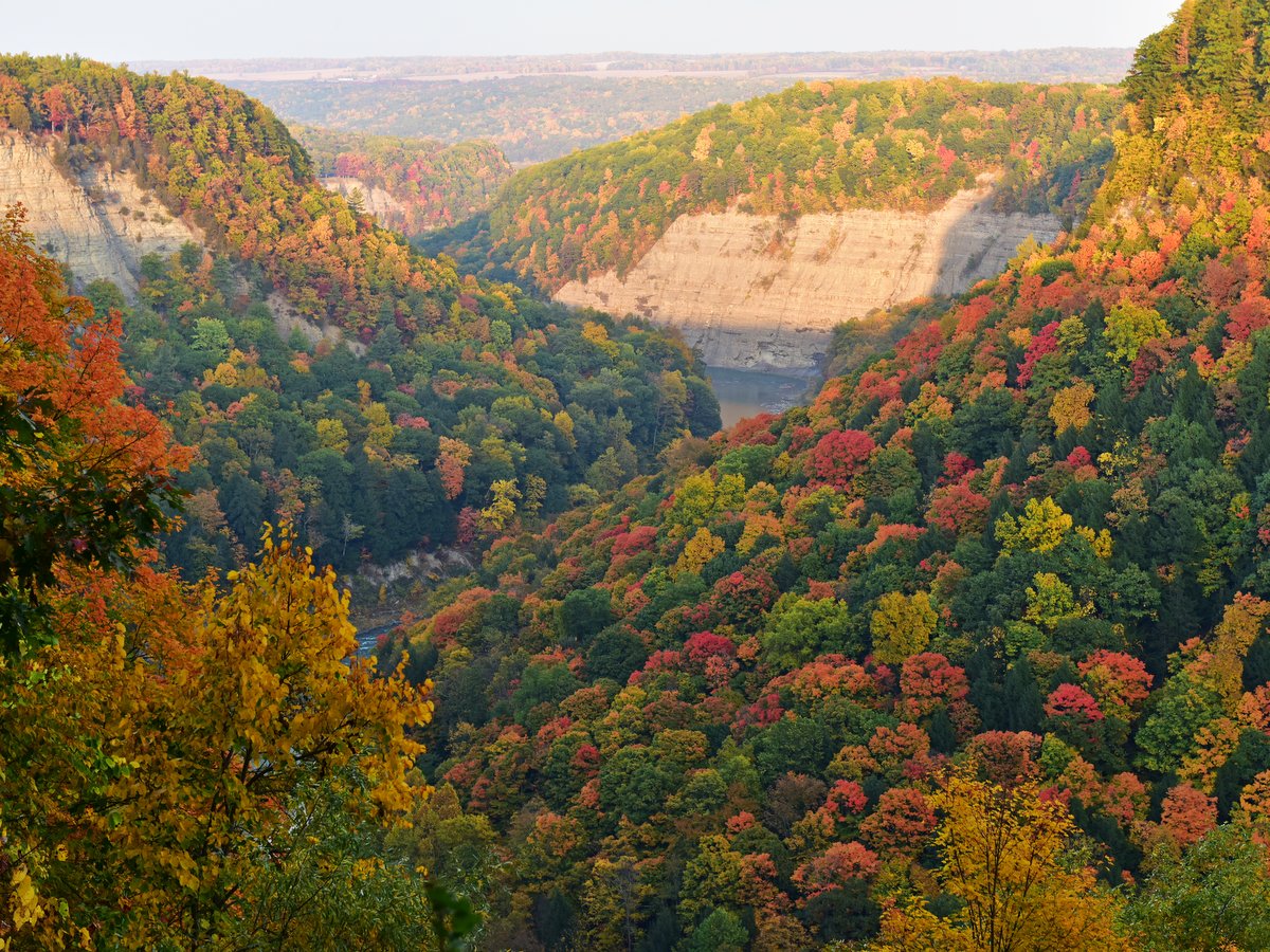
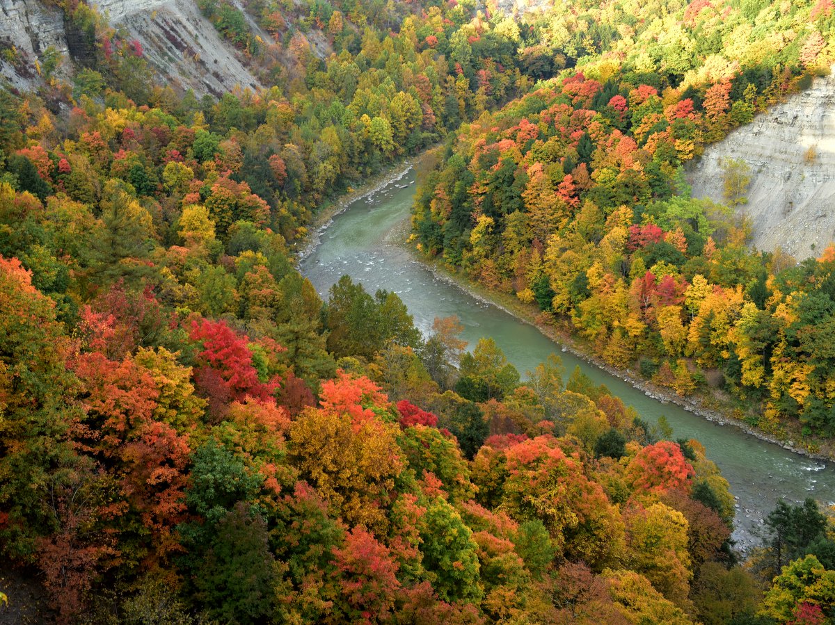
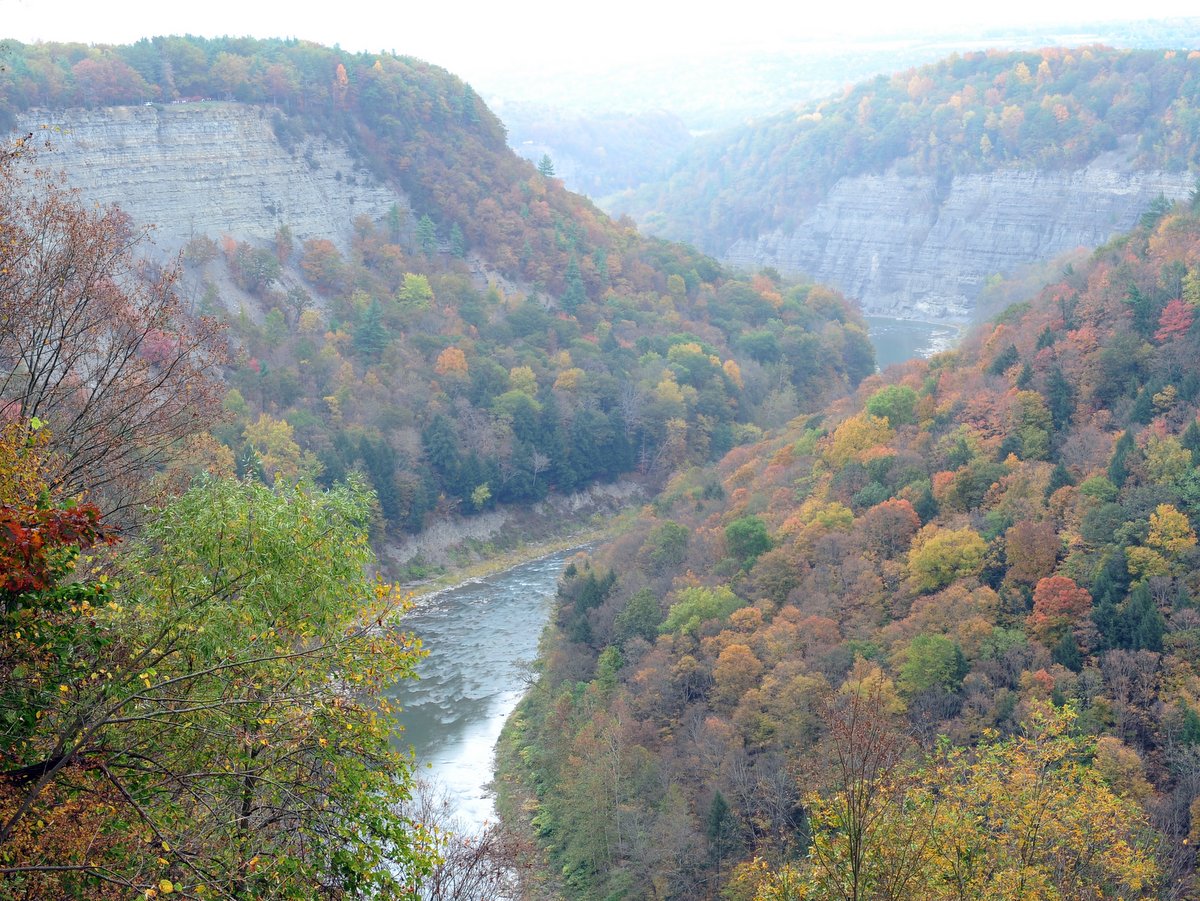
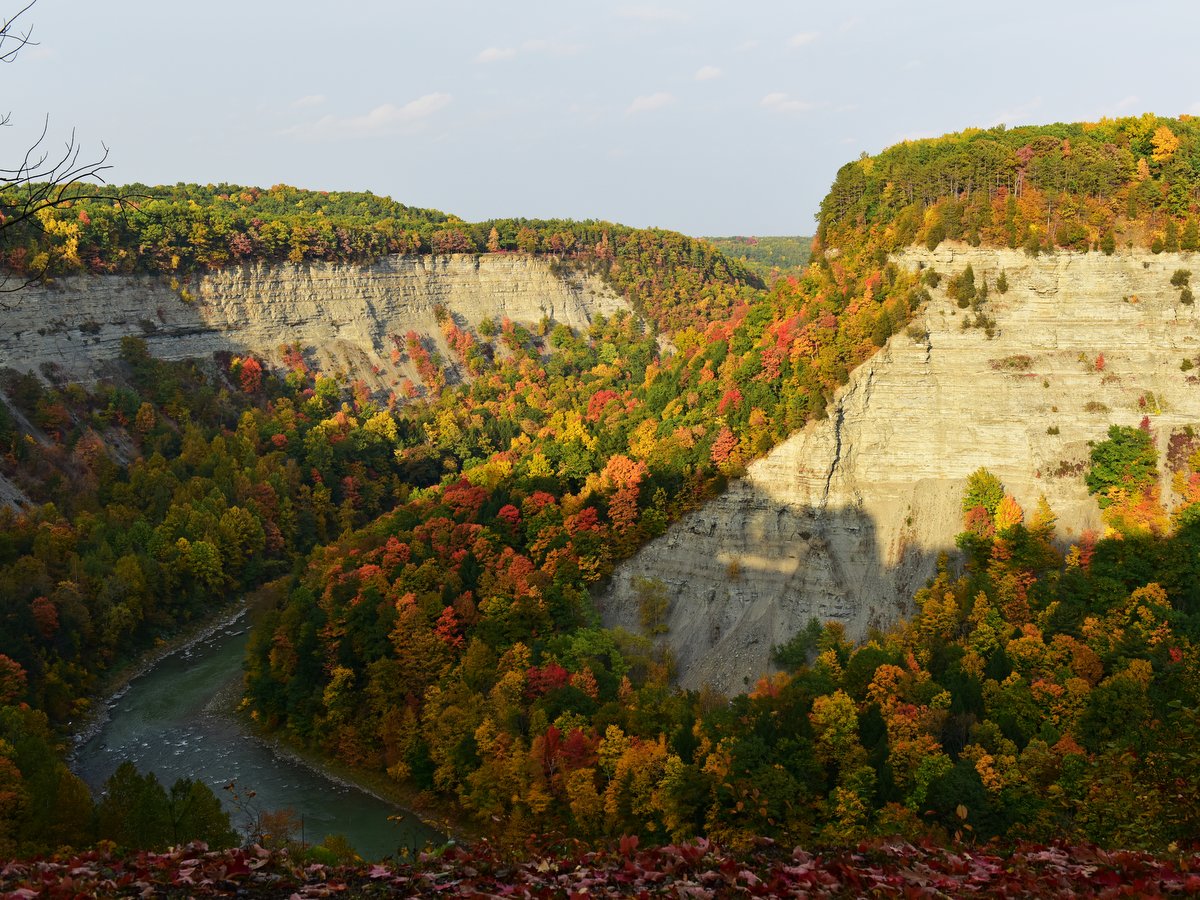
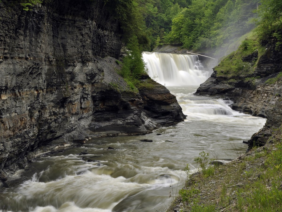
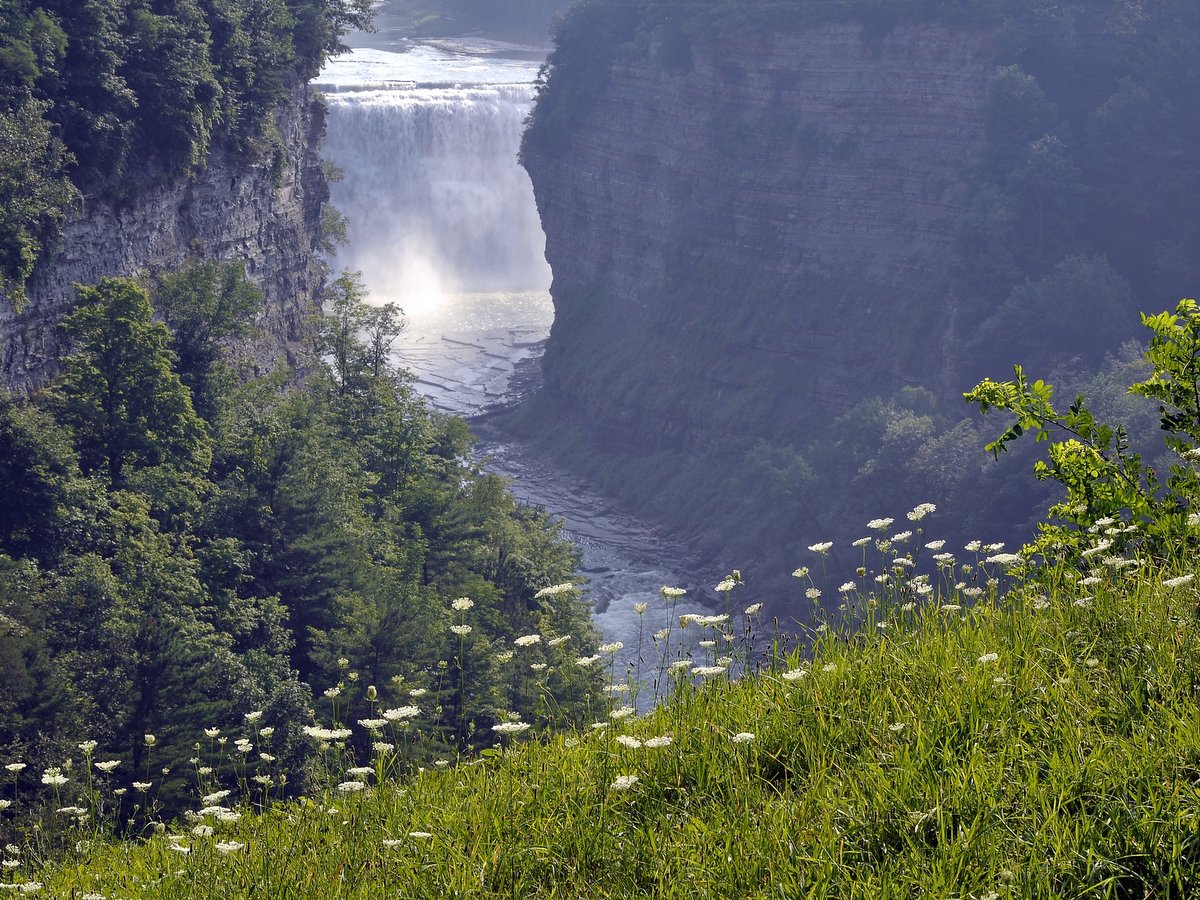
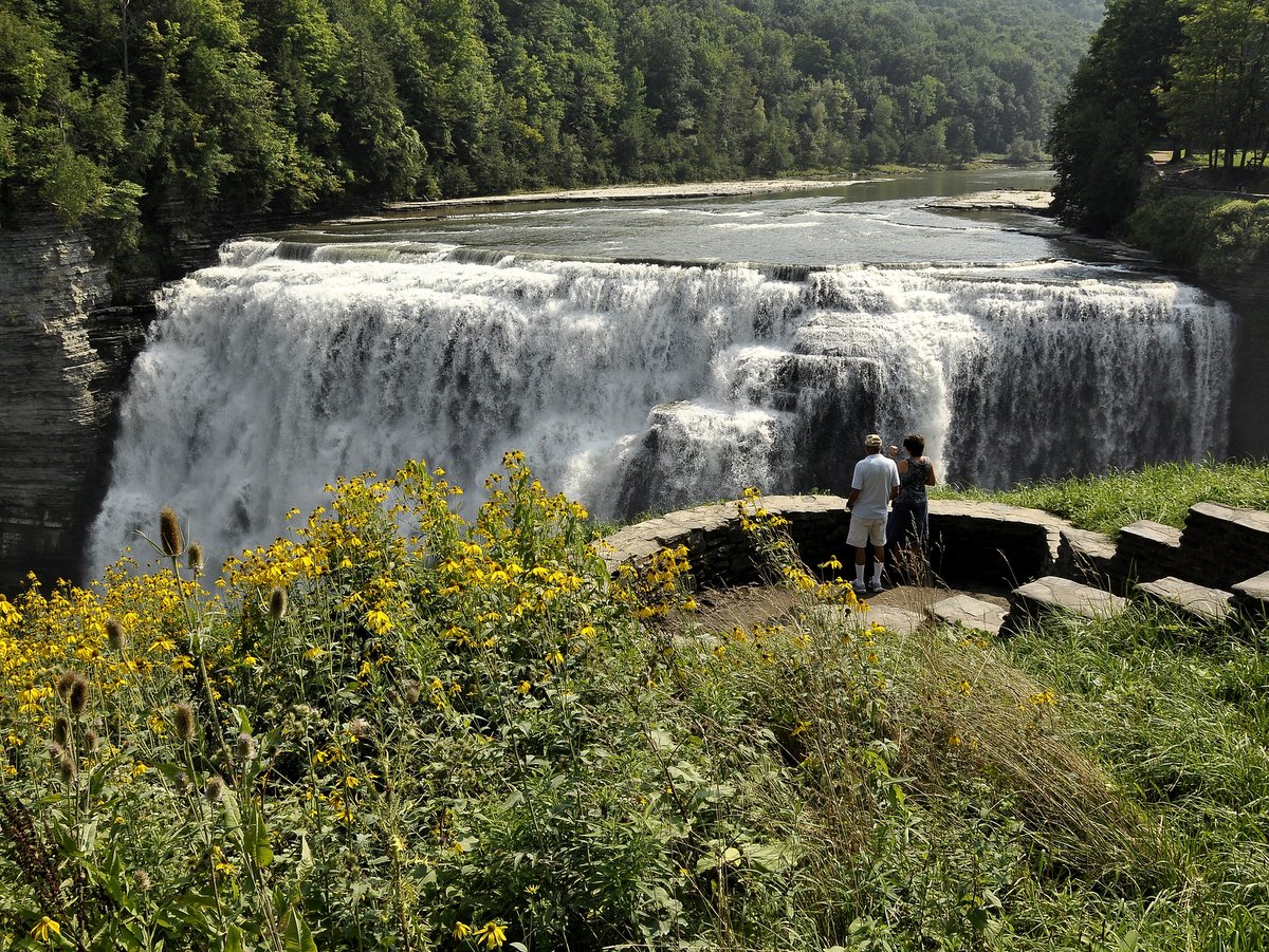
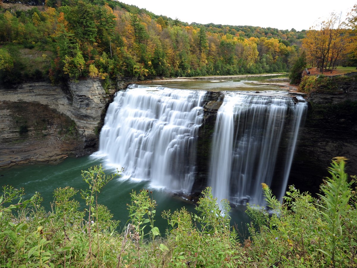
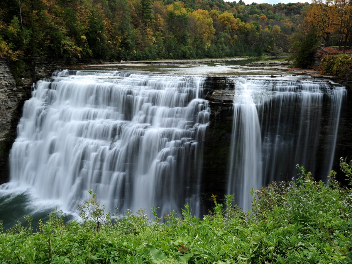
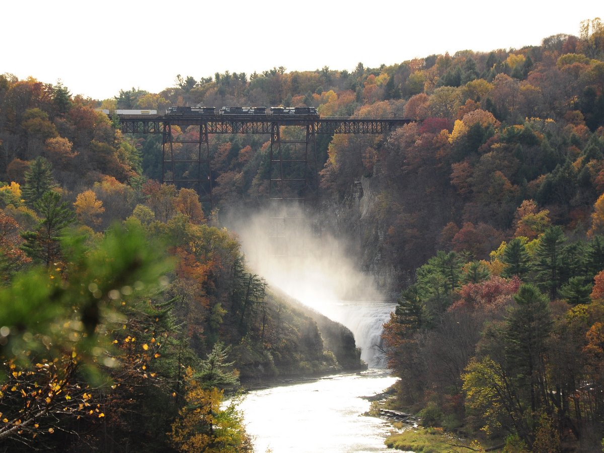
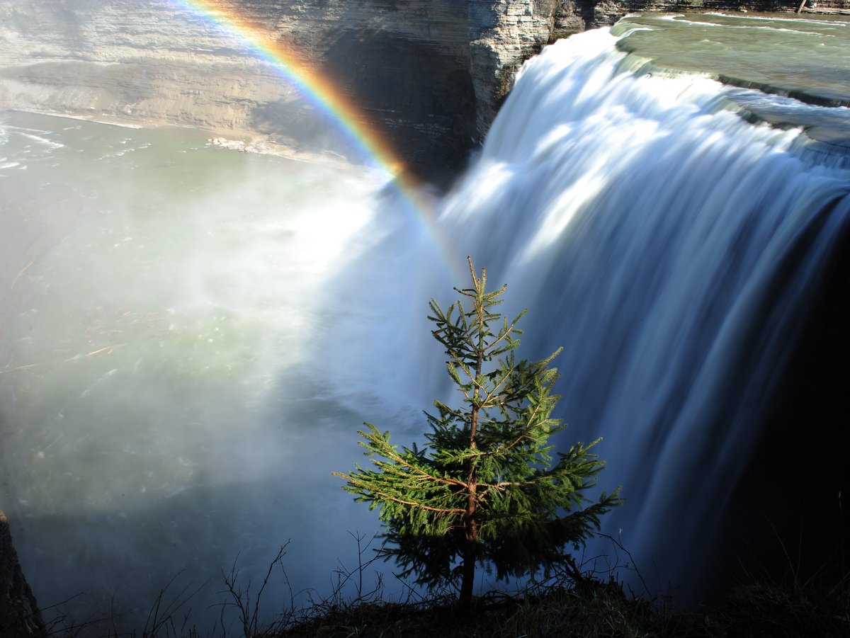
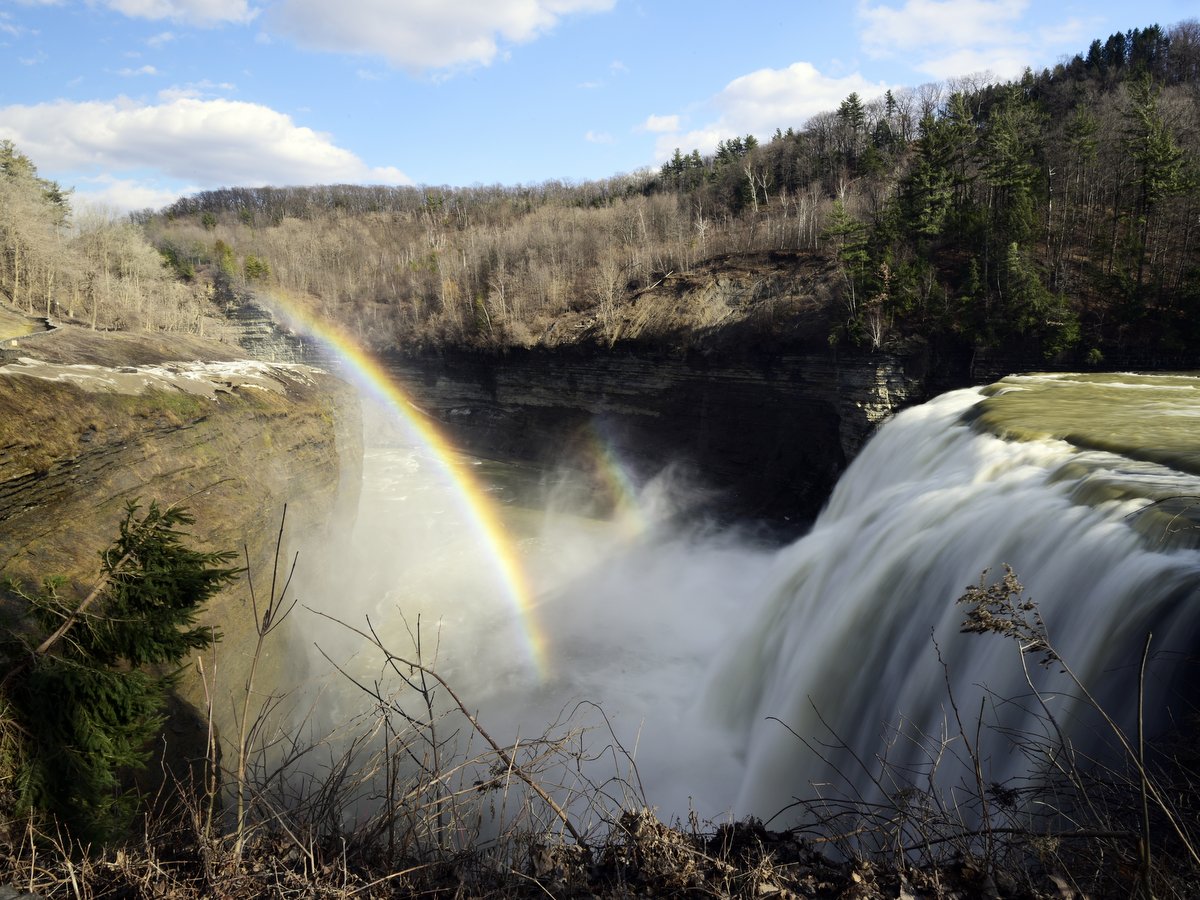
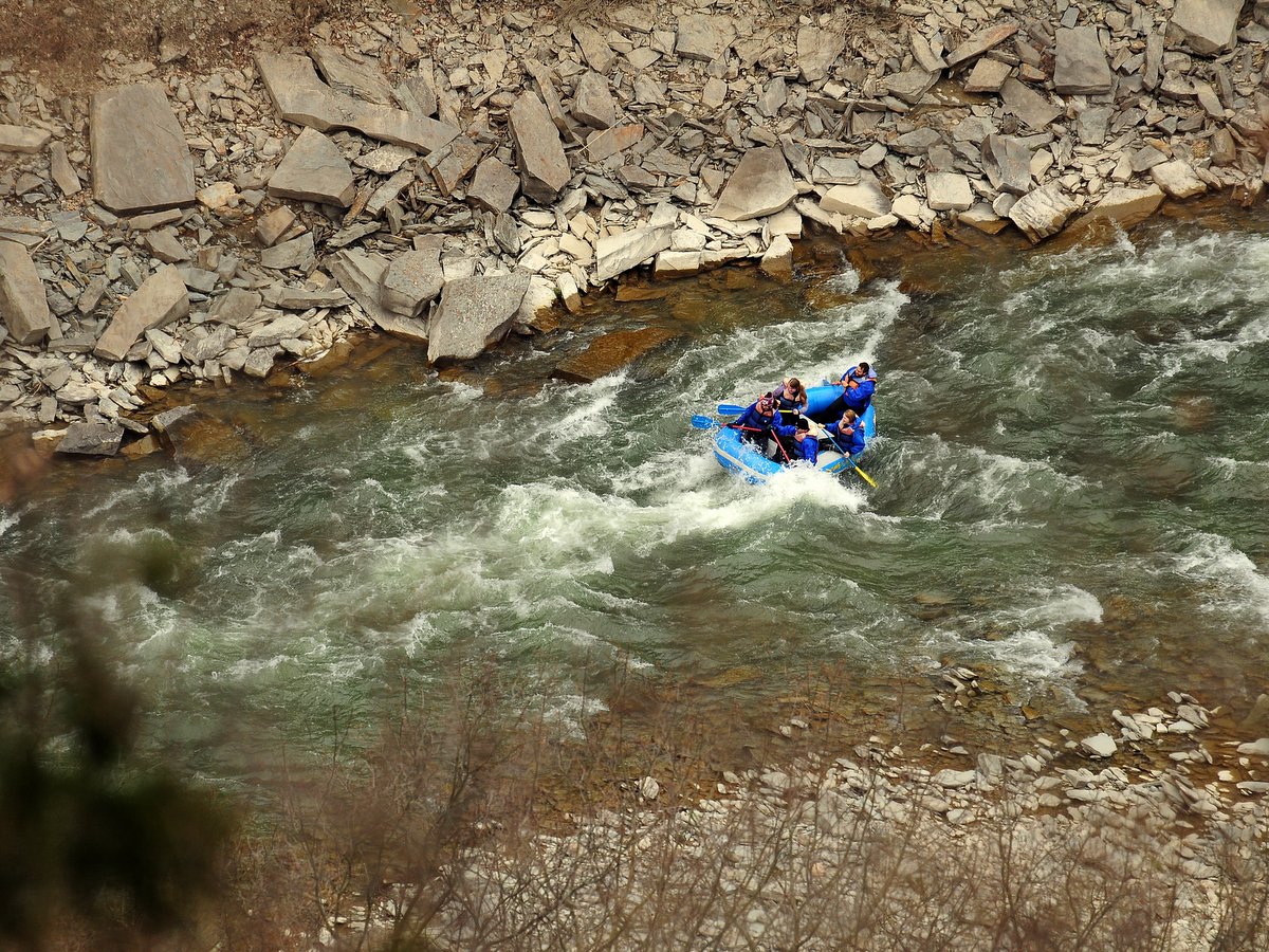
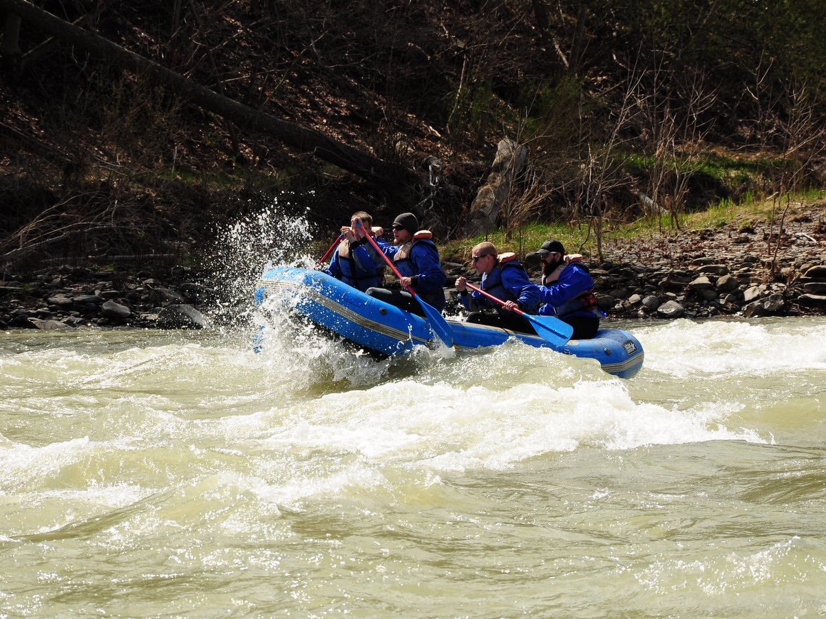
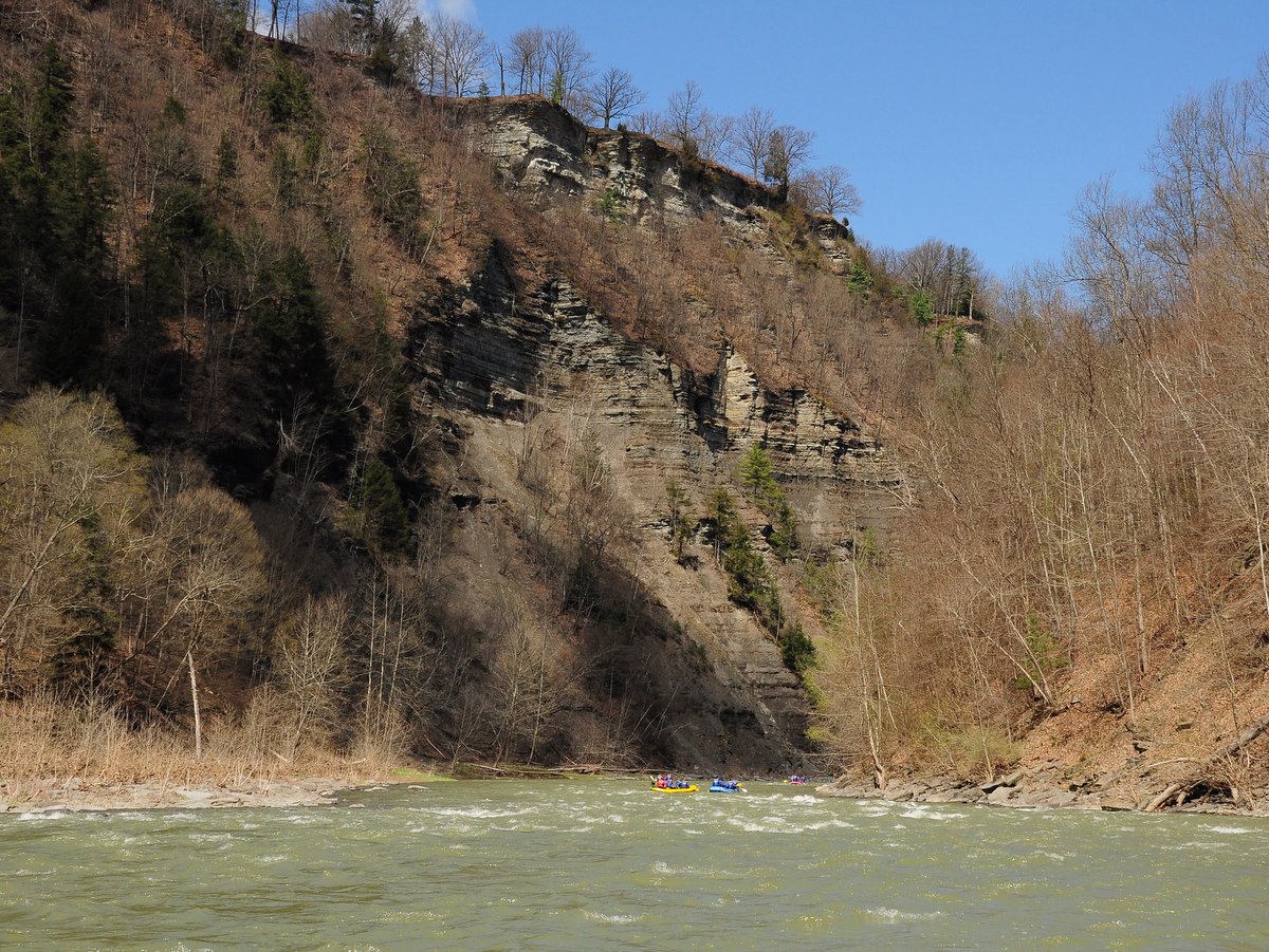
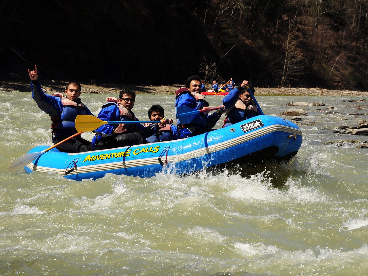
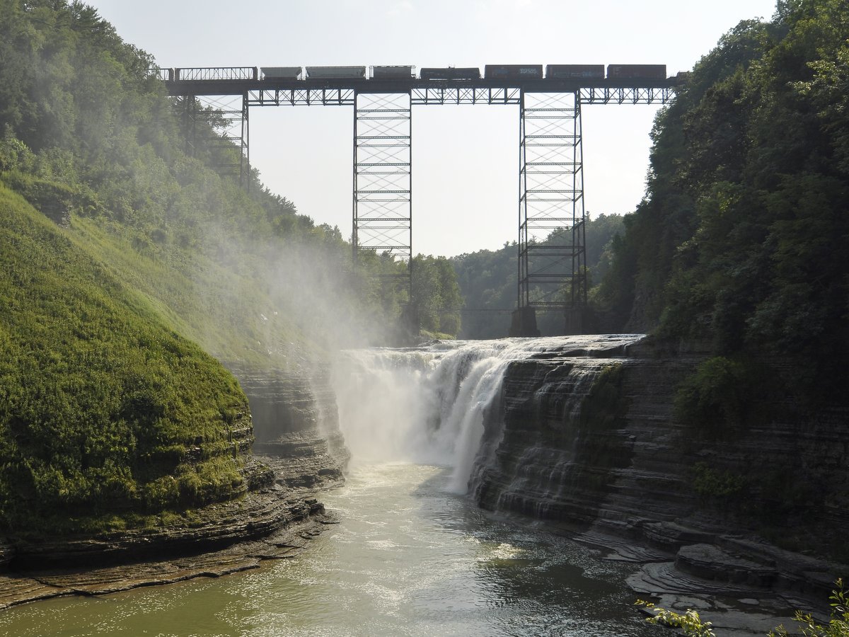
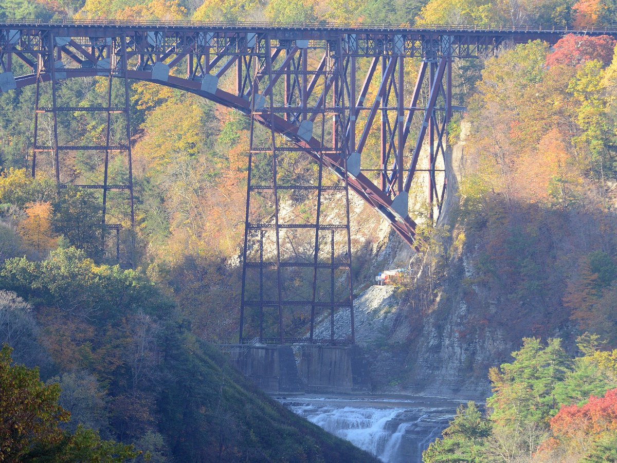
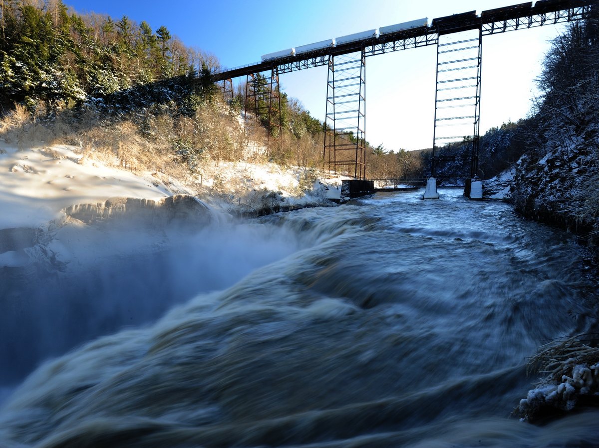
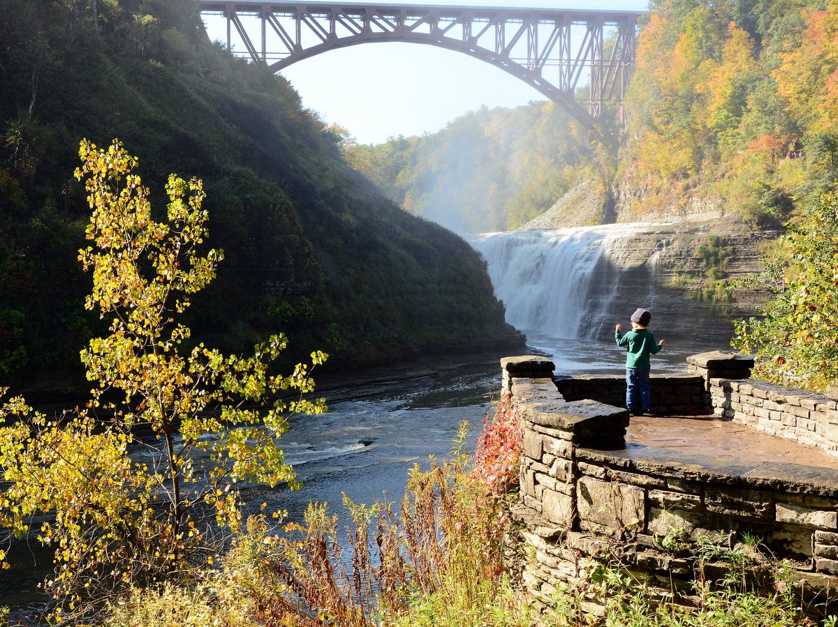
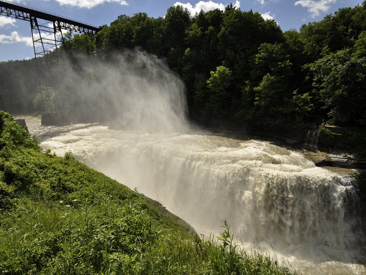
A lot of places claim to be the Grand Canyon of the East, and while none truly compare in terms of scale, Letchworth State Park’s grandeur and unique opportunities make it a can’t-miss natural wonder. The park and its rich history encompass seventeen miles of staggeringly sheer gorge, three towering and broad waterfalls, dozens of smaller waterfalls, 66 miles of trails, an abundance of overnight options, and opportunities to explore the park via foot, bike, horse, raft or even hot-air balloon!
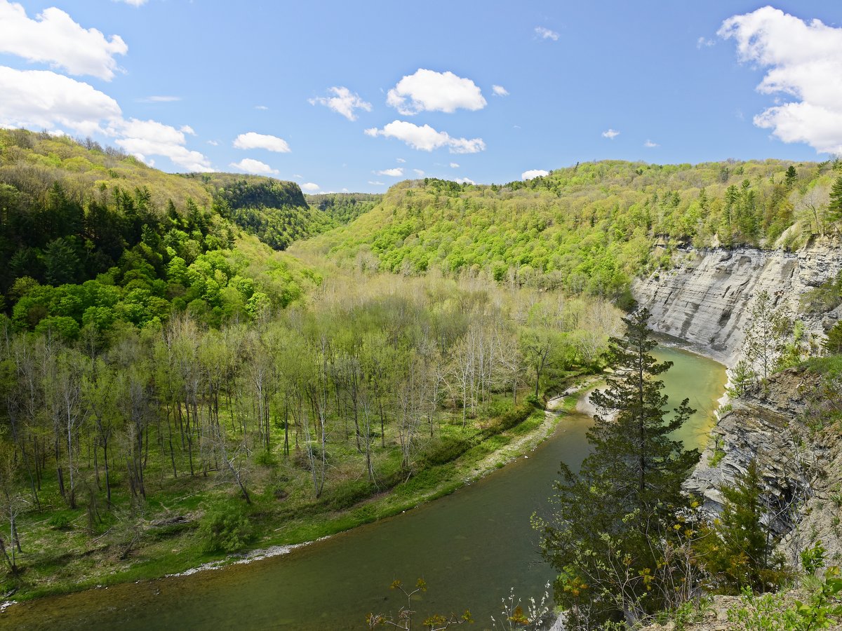
Looking at the immense gorge walls, nearly 550 feet in sections, it is hard to fathom that this gorge is relatively new, geologically speaking. In fact, only a few millennia ago the main Genesee River did not flow through this area, though a smaller tributary did. The preglacial river’s headwater originated southeast of Mount Morris near Dansville. Like many river beds in the region, the mile-high ice sheet of the last glacial period filled in the river valley with glacial till. Where its southward advance stalled, an immense terminal moraine formed, damming the old river bed and diverting the headwaters southward into the Susquehanna River watershed. A similar process occurred along the western tributary that flowed through Letchworth, but instead, a glacial lake formed. Eventually, the lake broke through and the smaller tributary began washing away glacial till and cutting new gorges through the western valley, ultimately reconnecting with the old Genesee River valley near Mount Morris.
The massive reshaping process is visible in the three distinct lower, middle, and upper gorge sections of Letchworth State Park. The newly carved gorges in the lower and upper sections are narrower and steeper, while the broader middle section is an older gorge where the glacial till was washed away. Other iconic Finger Lakes’ gorges such as Taughannock or Enfield Glen show similar patterns of intermingled new and older gorges but not nearly on the scale present here.
Photo: Nigel Kent
Photo: Nigel Kent
Photo: Nigel Kent
Photo: Nigel Kent
Photo: Nigel Kent
Photo: Nigel Kent
Photo: Nigel Kent
Photo: Nigel Kent
Photo: Nigel Kent
Photo: Nigel Kent
Photo: Nigel Kent
Photo: Nigel Kent
Photo: Nigel Kent
Photo: Nigel Kent
Photo: Nigel Kent
Photo: Nigel Kent
Photo: Nigel Kent
Photo: Nigel Kent
Photo: Nigel Kent
Photo: Nigel Kent
Photo: Nigel Kent
Photo: Nigel Kent
Photo: Nigel Kent
Photo: Nigel Kent
Photo: Nigel Kent
Photo: Nigel Kent
Photo: Nigel Kent
Photo: Nigel Kent
Photo: Nigel Kent
Photo: Nigel Kent
Photo: Nigel Kent
Photo: Nigel Kent
Photo: Nigel Kent
Photo: Nigel Kent
Photo: Nigel Kent
Photo: Nigel Kent
Photo: Nigel Kent
Photo: Nigel Kent
Photo: Nigel Kent
Photo: Nigel Kent
Photo: Nigel Kent
Photo: Nigel Kent
Photo: Nigel Kent
Photo: Nigel Kent
Photo: Nigel Kent
Photo: Nigel Kent
Photo: Nigel Kent
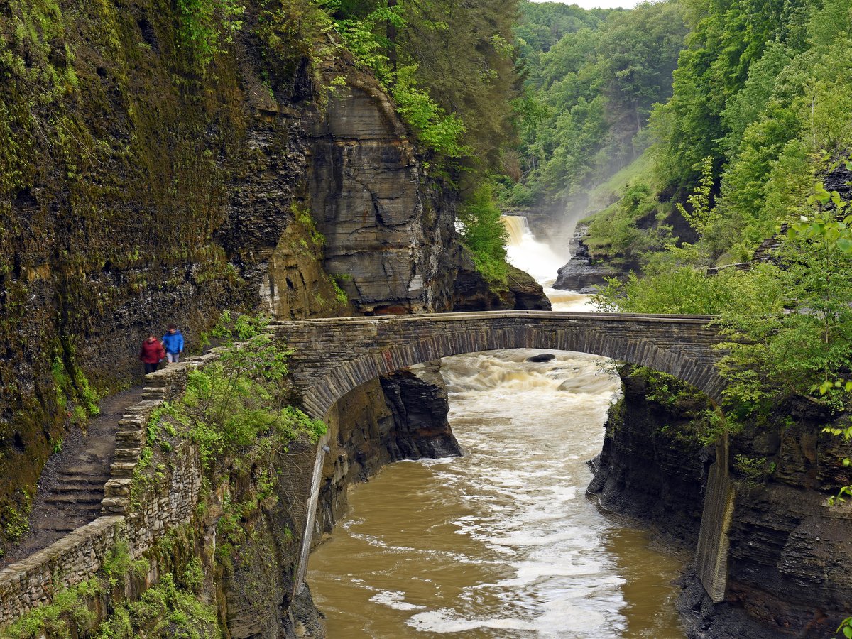
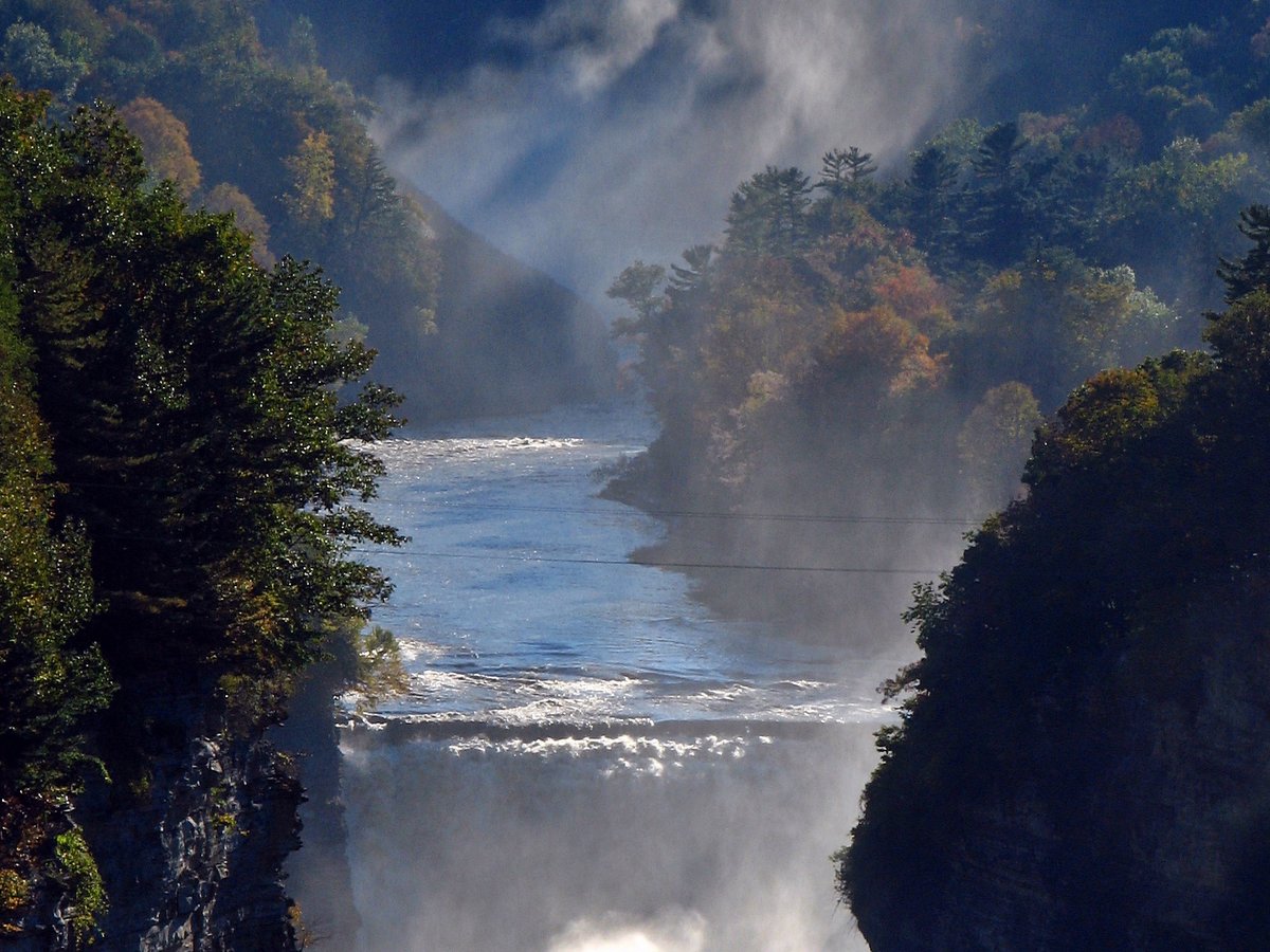
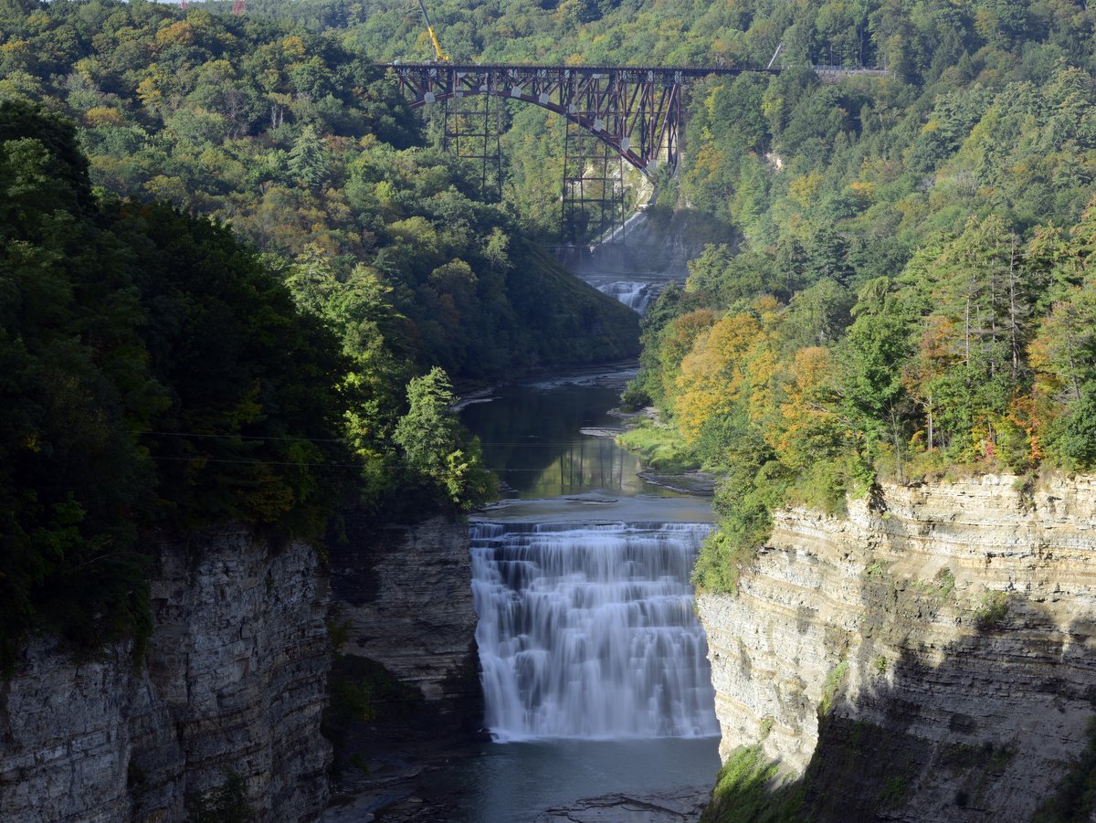
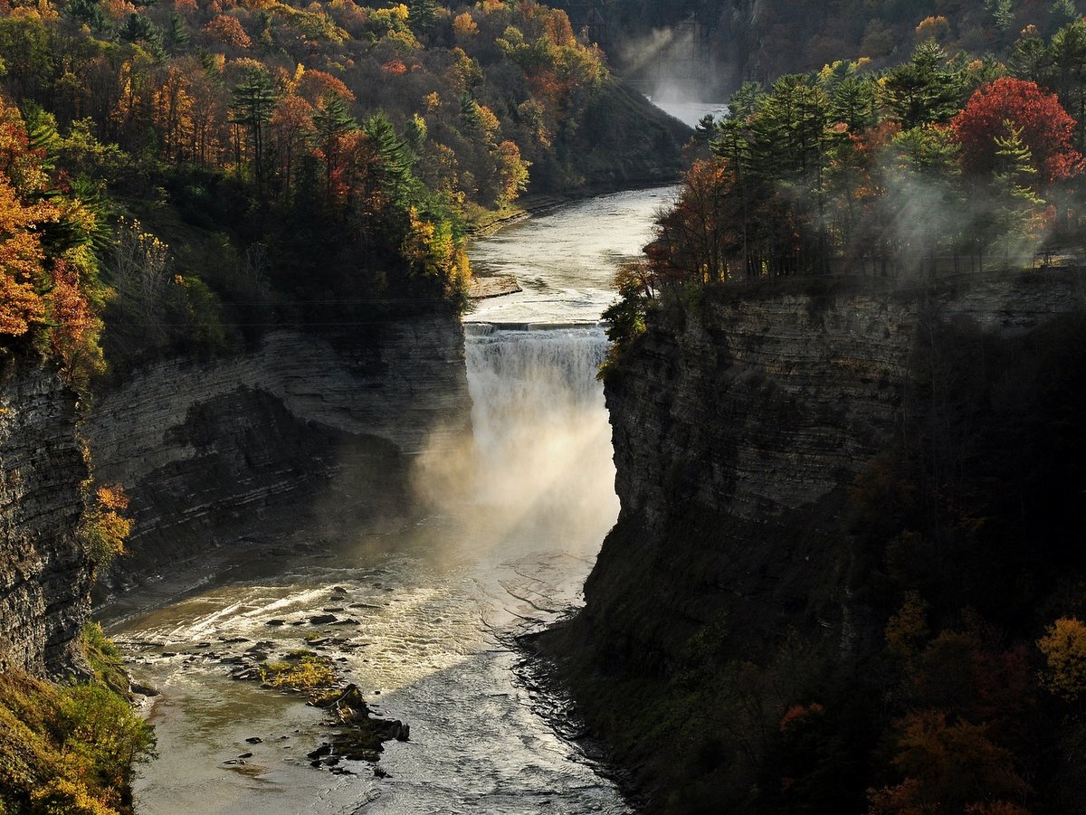
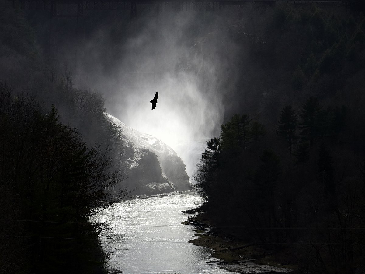
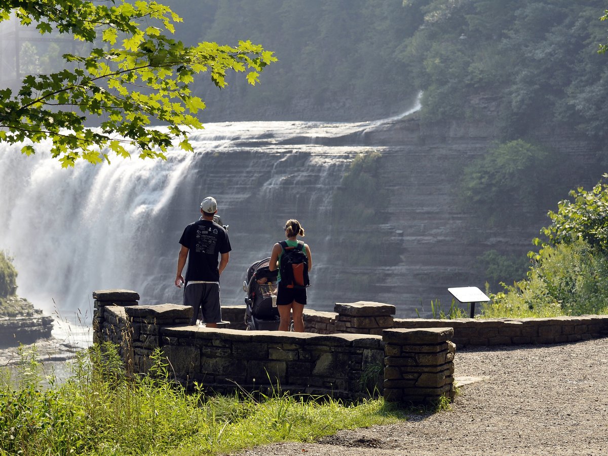
With 66 miles of trails, hikers have a lot of options and can even plan overnight or multi-night backpacking trips. The trail network is essentially divided into two sections: trails to the east and west of the gorge. A single bridge downstream of the Lower Falls connects the two, otherwise, the two trail systems can only be reached by leaving the park and reentering on the other side. There is a greater quantity of trails on the western side of the gorge, with most branching off from and paralleling the main Park Road. Most lead to scenic overlooks with panoramic views of the gorge. Some accounts say there are 30 waterfalls in the park while others claim 50. The three largest falls – Upper, Middle, and Lower Falls – steal the show in their grandeur. All three are located in Portage Canyon in the southern section of the park and can be seen on the most popular of the trails, the 7-mile (one-way) Gorge Trail.
Note that the Gorge Trail can be hiked in smaller sections and accessed at many points since it follows the rim of the gorge and only dips down briefly at a lookout below Lower Falls. Trails in the middle and northern end of the park offer more solitude but with less dramatic views. The main feature of the eastern trails is a 24-mile section of the Letchworth branch of the Finger Lakes Trail, which some call the most beautiful branch trail of the system. A handful of spur trails provide access points to roadside parking along River Road, which parallels the park’s eastern boundary. The eastern side is remote, promising ample solitude, and is more akin to a state forest experience than a state park. However, most state park rules still apply and overnight trekkers need will need a free camping permit to use the trail shelters.
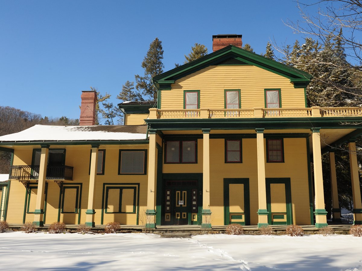
A single-day trip will likely not be enough to take in all the experiences, and fortunately, there are many overnight opportunities available within the park: 260 tents sites/trailer sites, 80 cabins, and even an Inn. The Glen Iris Inn was the estate of philanthropist William Pryor Letchworth, who gifted the park to New York State in 1906 after building up the estate over 50 years. William Pryor Letchworth’s acquisition of the land in 1859 prevented hydroelectric dams from being installed within the gorge, effectively preserving the land for future generations to enjoy. Other examples of the park’s history can be seen in the remnants of infrastructure from the Genesee Valley Canal and railway lines that connected to the park during the Industrial Revolution. The Parade Grounds were the training area for First New York Dragoons during the Civil War. Interspersed throughout the park are other historic landmarks that describe the life of pioneers and Native American history within Sehgahunda (the “Vale of the Three Falls”). Much of this history is captured in the William Pryor Letchworth Museum that provides greater depth on natural and cultural history.
In the most general terms, you could divide the park into three distinct areas: northwest, southwest, and eastern. The southwestern portion of the park includes most of what would be considered day-tripper activities. Here you find the three main waterfalls, clusters of picnic areas with playgrounds and concessions, museums, a nature center, the Glen Iris Inn, as well as the more popular and built-up trails. Within the northwestern section is an Olympic-sized swimming pool, campgrounds, and less frequented lookout trails. The eastern section is essentially the wilderness portion of the park where long trekkers will find comfort in the lack of amenities and crowds.
The country’s first nature trail specifically designed to address the sensory needs of people on the autism spectrum was opened at Letchworth State Park in 2021. The Autism Nature Trail is a one-mile hiking loop that includes eight sensory stations, each designed to address a different sensory experience in a safe and supportive environment. Activities along the Autism Nature Trail support and encourage sensory perception and integration, while also providing enjoyable activities for visitors of all abilities and ages. Located near the park’s Humphrey Nature Center with parking and restrooms, the ADA-compliant trail was designed with input from Dr. Temple Grandin, one of the world’s most well-known advocates for the autistic community.
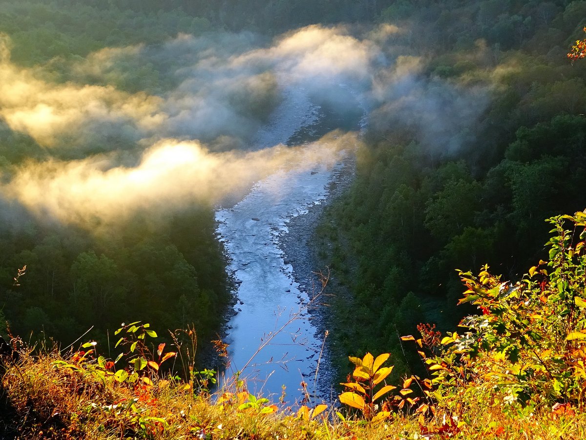
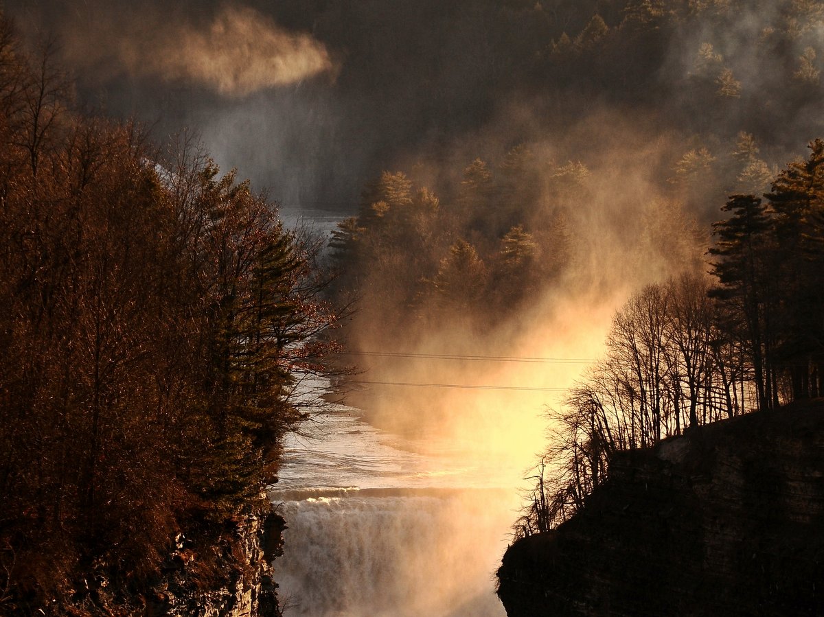
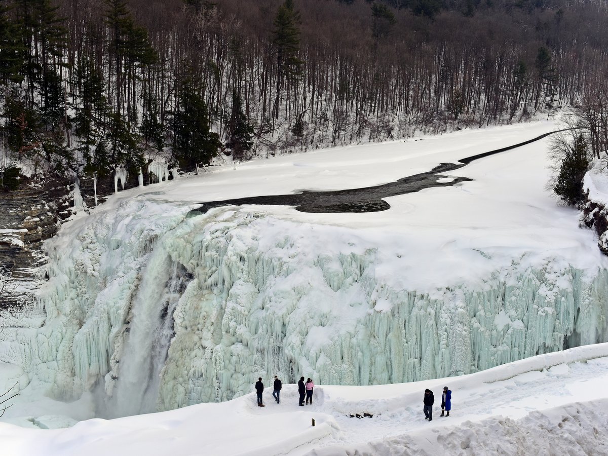
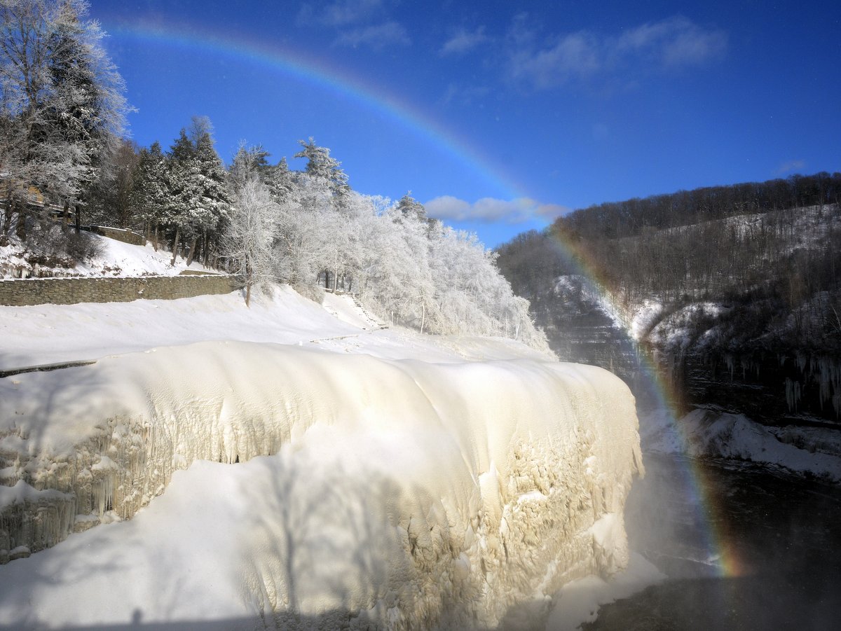
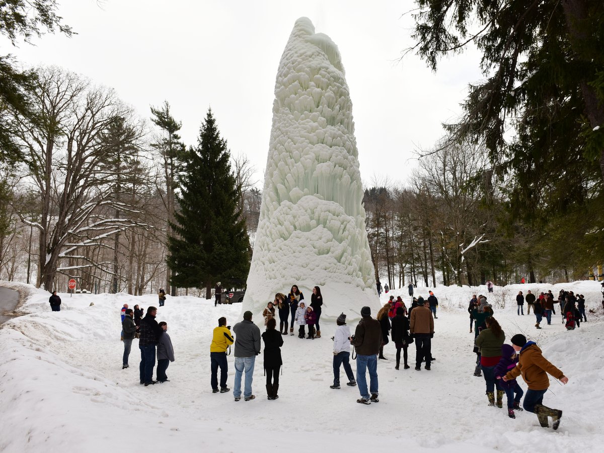
The park is open year-round and each season brings its own flavor to the scenery: the waterfalls are full raging torrents in the spring; summer brings lush and verdant foliage; in the fall the gorge is emblazoned with autumn colors; and, winter brings a frozen wonderland of ice cascades and even an “ice geyser” (the fountain behind the Glen Iris Inn is gravity fed, so with the right conditions a wondrous geyser is formed; in 2015 it was 50 feet tall).
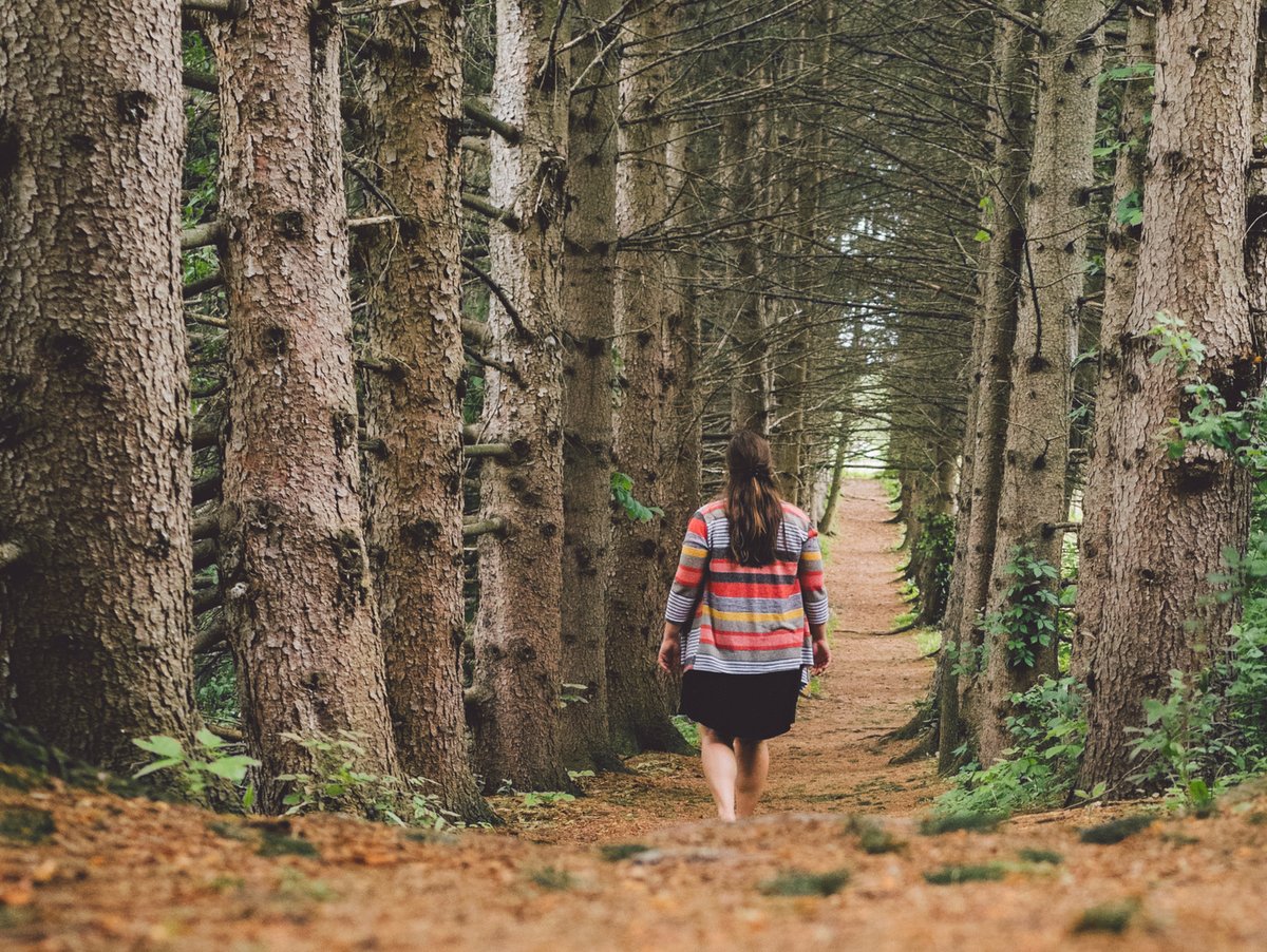
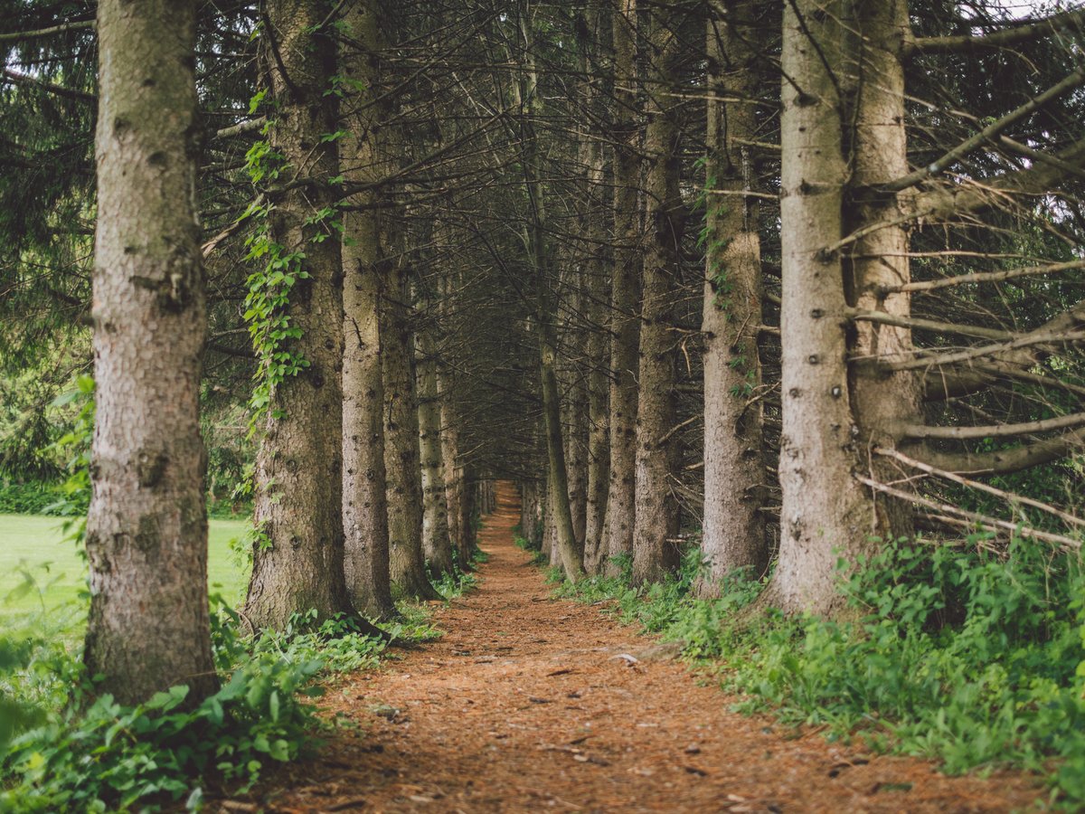
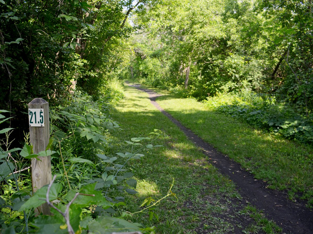
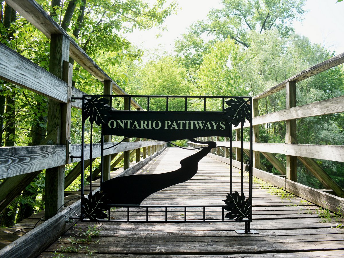
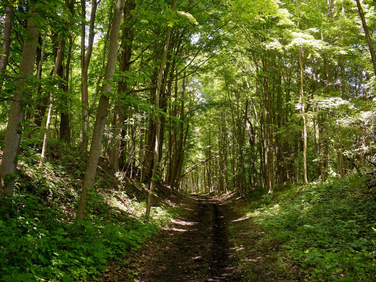
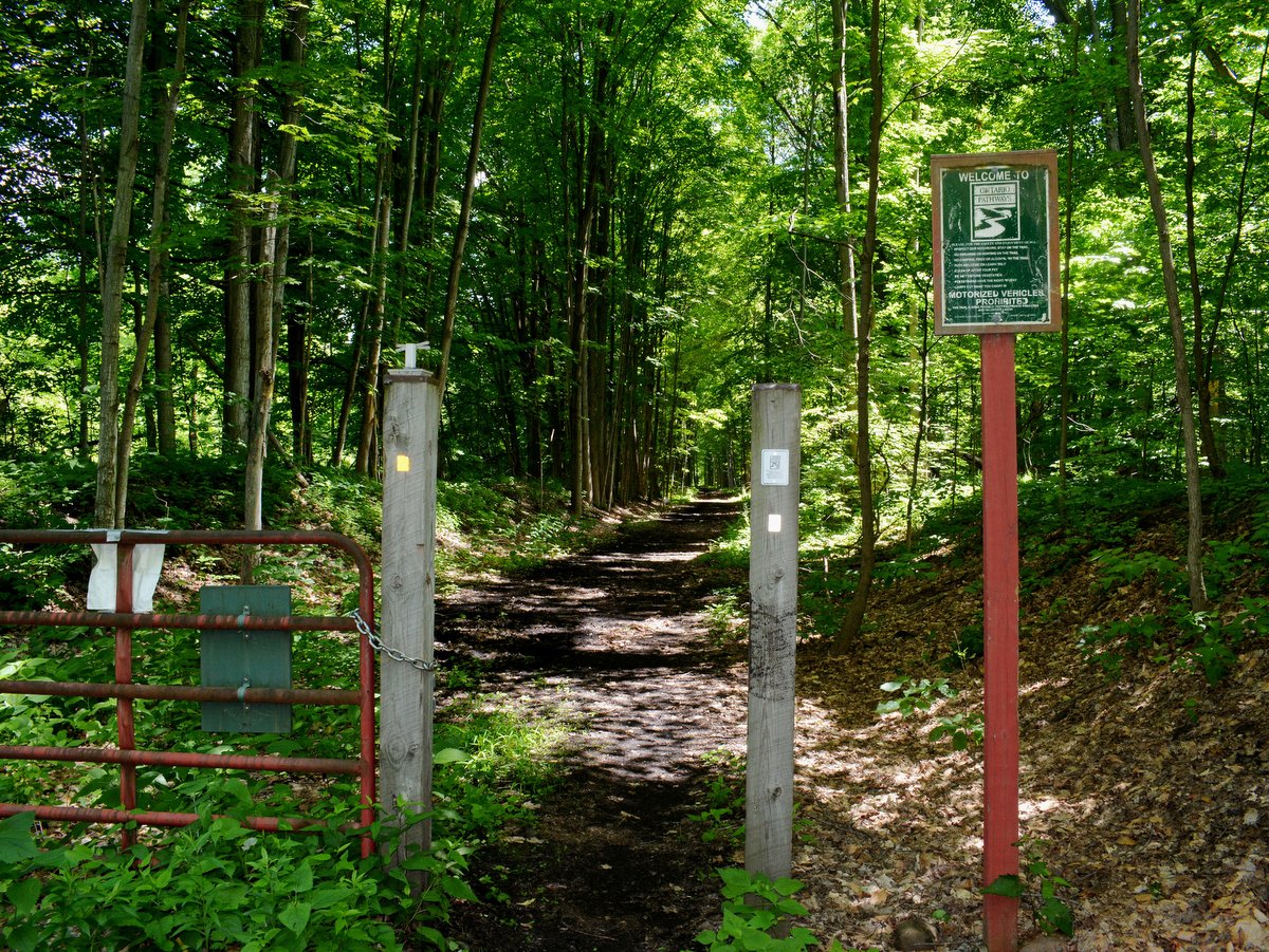
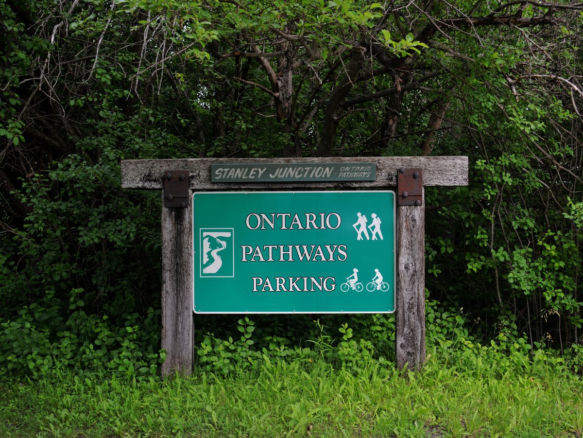
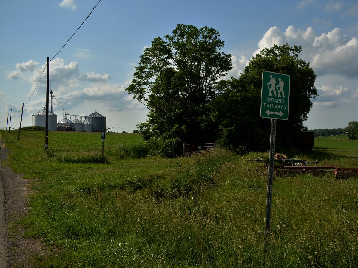
Connecting various towns and villages in eastern Ontario County, Ontario Pathways is a flat, 25-mile, V-shaped, multiuse, non-motorized trail route that follows an abandoned rail line once owned by the Northern Central Railroad. The entire trail is open year-round from dawn to dusk for hiking, biking, running, horseback riding, and cross-country skiing.
Photo: Larkin Ryan
Photo: Larkin Ryan
Photo: Larkin Ryan
Photo: Stephanie Buckley
Photo: Stephanie Buckley
Photo: Stephanie Buckley
Photo: Stephanie Buckley
Photo: Stephanie Buckley
Photo: Stephanie Buckley
Photo: Stephanie Buckley
Photo: Stephanie Buckley
Photo: Stephanie Buckley
Photo: Stephanie Buckley
Photo: Stephanie Buckley
Photo: Stephanie Buckley
Photo: Stephanie Buckley
Photo: Stephanie Buckley
Photo: Stephanie Buckley
Photo: Stephanie Buckley
Photo: Stephanie Buckley
Photo: Stephanie Buckley
Photo: Stephanie Buckley
Photo: Stephanie Buckley
After a series of mergers and acquisitions in the 20th century, the rail line’s final operator, Penn Central, filed for bankruptcy in 1970. Then, in 1994, the newly-formed, all-volunteer, non-profit organization Ontario Pathways, Inc., began the process of purchasing unsold portions of the rail bed to form this unique and rustic trail system.
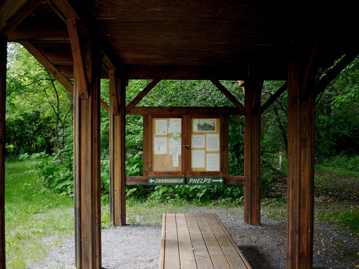
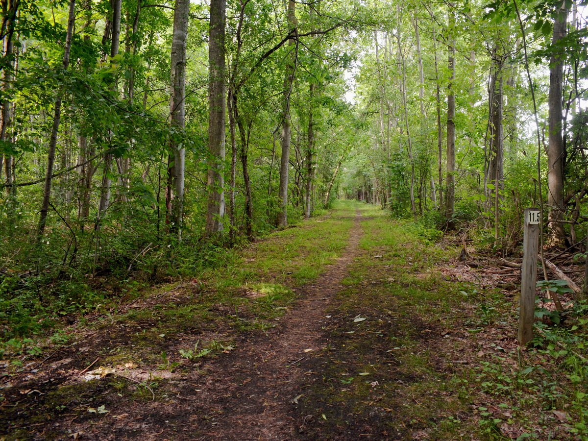
Ontario Pathways is comprised of two “legs,” each approximately 11.5 miles long: the Canandaigua leg, stretching from Canandaigua to Stanley, and the Phelps leg, which extends from Stanley through Flint, Seneca Castle, Orleans, and ends in Phelps. Separated from the main V-shaped route is a 1.8-mile out-and-back trail north of the New York State Thruway, accessible from a parking area on Gifford Road in Phelps. From there, this unmarked section of the trail continues unobstructed by roads until it ends abruptly at the Wayne County/Ontario County line where you must turn around and go back.
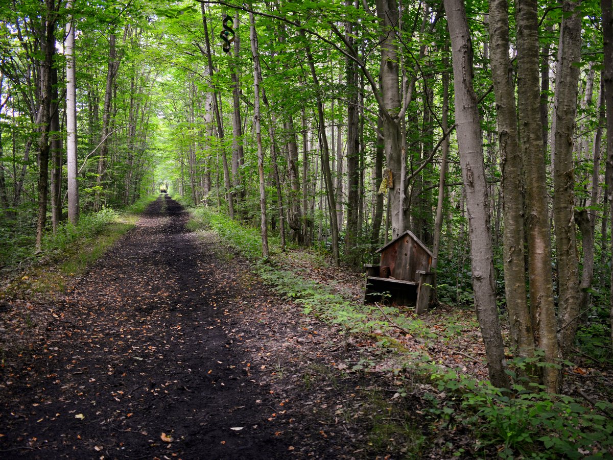
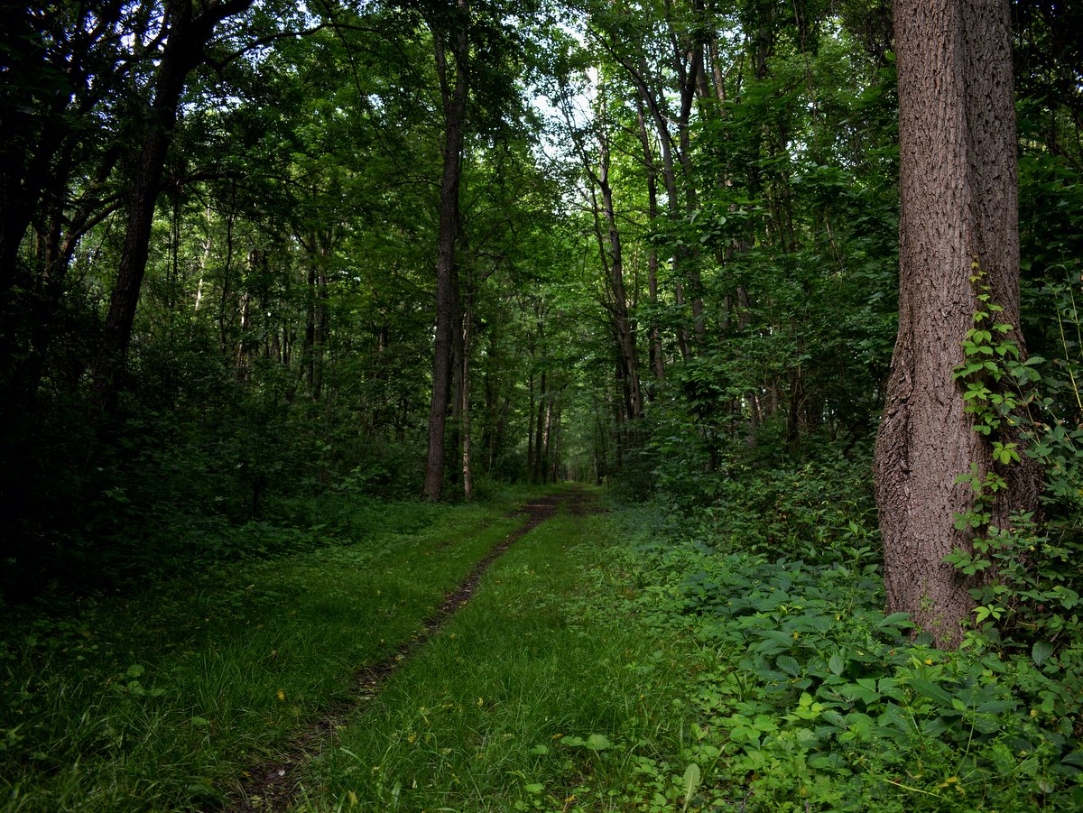
A sturdy bike is advised as certain grassy sections often have hidden roots and rocks. The trail surface alternates between cinder, stone, and grass as it traverses open pastoral lands, wooded areas, small towns, and historic bridges. Most portions of the trail are well-shaded and provide excellent bird and wildlife viewing opportunities.
Access to the trail can be found at many road crossings, although some parking areas are more accommodating than others. An excellent starting point to the Phelps leg is a large parking lot off New York State Route 96 a quarter-mile east of Route 488 in Phelps. From there, the trail generally follows Flint Creek for almost three miles before it merges with a half-mile section of New York State Route 488 in Orleans. To avoid Route 488, start at Orleans and park near the old water tower. The trail starts on the south side of County Road 23 and continues to the hamlet of Stanley, another great starting point at the southern end of the Canandaigua leg.
Visitors who wish to begin their journey in downtown Canandaigua can use the trailhead and parking lot on Ontario Street, following the path as it crosses the Canandaigua Outlet and turns eastward. Along this leg, families can delight in a Winnie the Pooh-themed trail section between County Road 10 and County Road 46.
There are also four hiking loops on the Phelps leg which make for additional 1.9 miles of trail. The one-mile Flint Creek Loop Trail can be accessed from the Wheat Road section and guides visitors to the creek and back again. South of Orleans, there is also the 0.3-mile Train Wreck Loop Trail—the site of a 1964 train derailment, the 0.4-mile Hemlock Grove Loop Trail—which follows Beaver Dam Creek to Flint Creek, and a 0.2-mile Mill Falls Trail out and back just south of the Route 96 trailhead.
Ontario Pathways is a 100% volunteer organization with no outside funding. Ongoing trail maintenance is performed by volunteers from Ontario Pathways, Inc., a fine example of community-driven efforts to promote recreation and civic engagement.
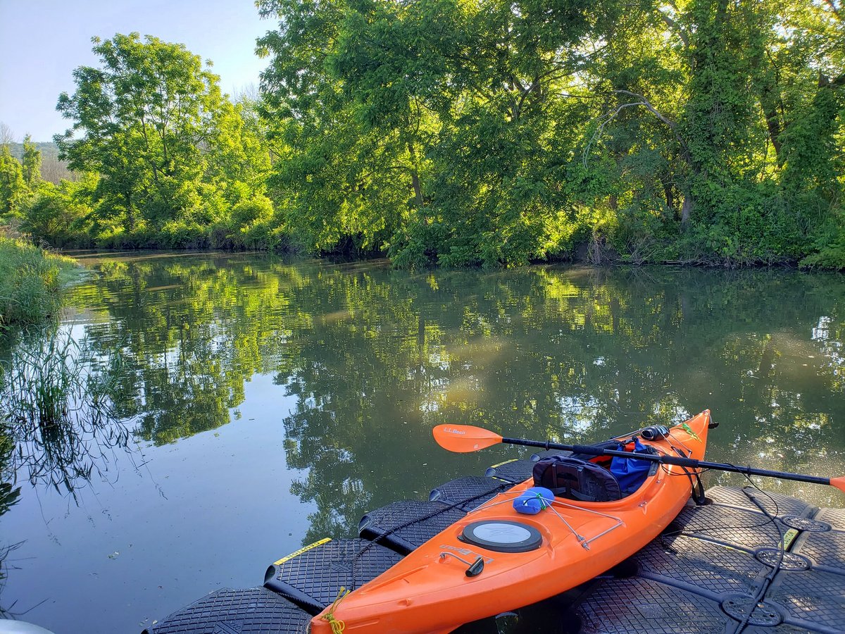
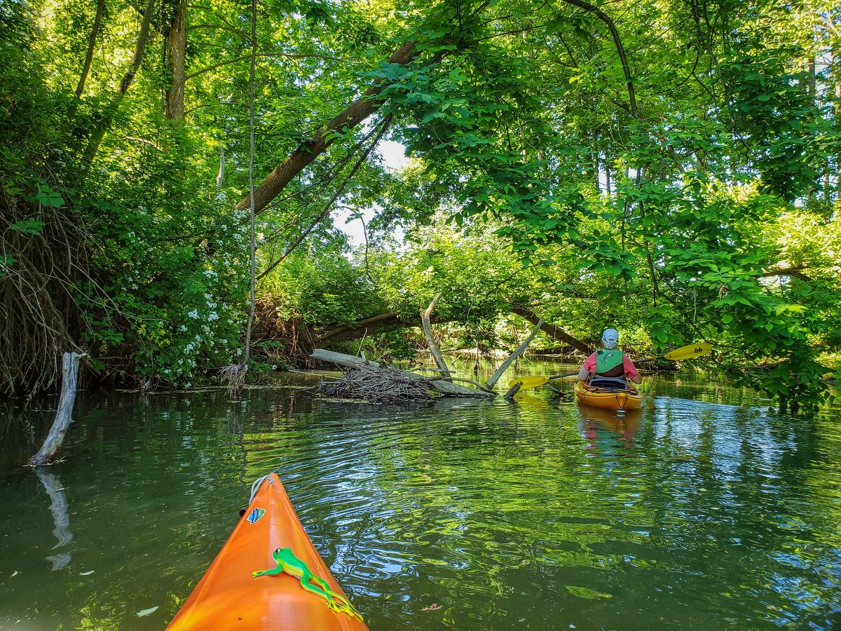
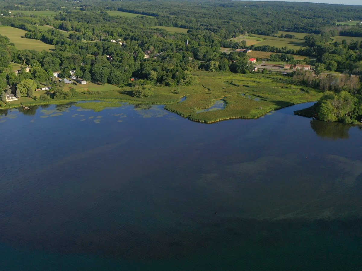
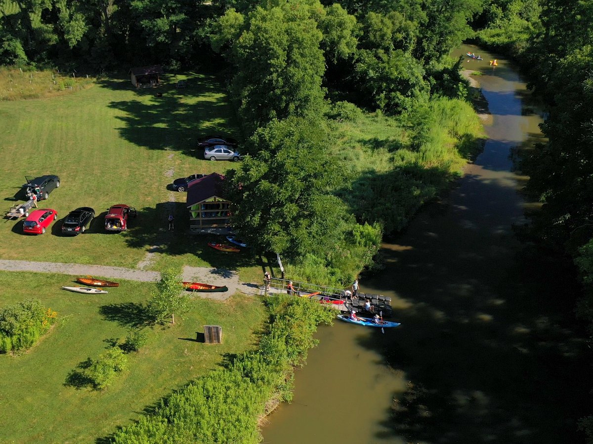
Along the picturesque west branch of Keuka Lake, lies a peaceful and biodiverse area awaiting exploration by boat. Paddling from the Saunders Finger Lakes Museum (SFLM) gives you the opportunity to pass through a forested stream channel, wetlands, and into the open waters of the lake beyond. Choose your own adventure, which can, of course, incorporate all three!
Nestled in the quiet hamlet of Branchport, the evolving Museum offers public access to Keuka Lake via Sugar Creek. The SFLM enjoys frontage on the creek, one of two major inlets to the lake. When you arrive at the main entrance, continue around the building and head to the Creekside Center, a reconstructed 18th-century barn. Beyond the barn, you will find a user-friendly watercraft dock and launch structure on the water. This dock is free for public use from dawn to dusk.
Photo: Helen Heizyk
Photo: Jim Higgins
Photo: Helen Heizyk
Photo: Jim Higgins
Photo: Jim Higgins
Photo: Jim Higgins
Photo: Jim Higgins
Photo: Helen Heizyk
Photo: Helen Heizyk
Photo: Helen Heizyk
Photo: Helen Heizyk
Photo: Helen Heizyk
Photo: Helen Heizyk
Photo: Helen Heizyk
Photo: Helen Heizyk
Photo: Helen Heizyk
Photo: Helen Heizyk
Photo: Helen Heizyk
Photo: Helen Heizyk
Photo: Rob Hughes
Paddle to the north on Sugar Creek and discover a forested wonderland. Depending on the water level, you may be able to travel a mile or more upstream, taking in the dense, uncultivated forest, and perhaps come across a Belted Kingfisher on the hunt. Great Blue Herons have also been seen along this route. Enjoy the variety of birdsong and look for beaver slides as you paddle. This area has a feel of the wilderness and you may have to navigate around a downed tree limb or duck under a low-hanging branch. The beauty of the paddle makes it well worth the effort!
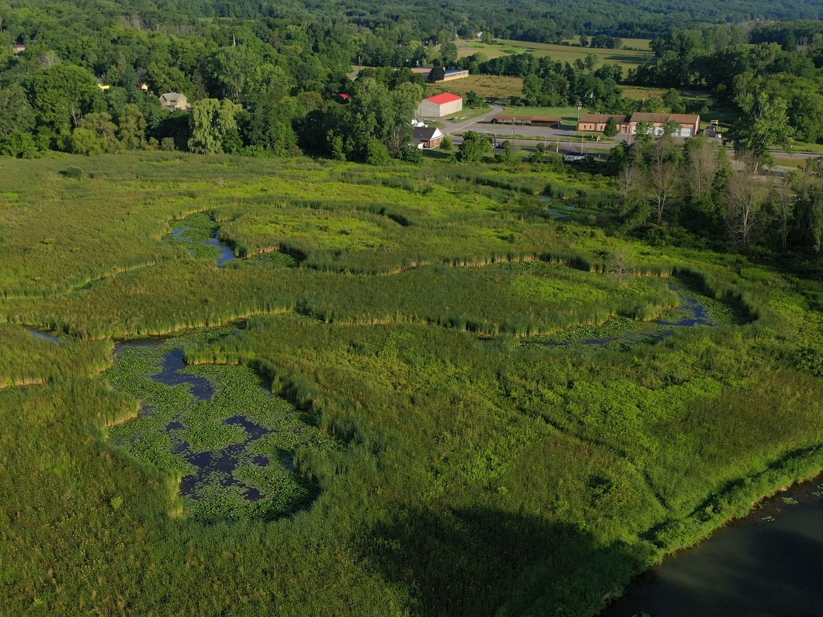
Travel south from the launch and you will pass by the Branchport Fire Department, where you will see trees planted under the auspices of a DEC Trees for Tributaries grant. This planting is designed to enhance the shoreline, making it less susceptible to erosion, slowing the waters after floods, providing habitat, and mitigating temperature changes, all effects from upstream development. Continue under the 54A bridge, pass the DEC small craft launch and fishing platform on the right, and you will find yourself between two tracts of wetlands. To the left (east), is the SFLM’s Townsend-Grady Wildlife Preserve. To the right (west), you will see iconic cattails wetlands that belong to the Izaak Walton League, one of the oldest conservation organizations in the country.
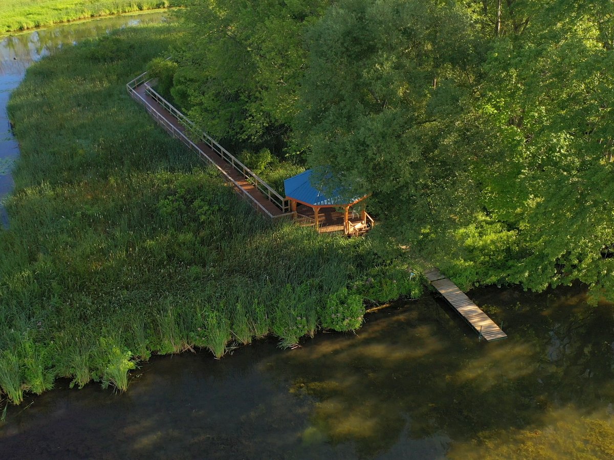
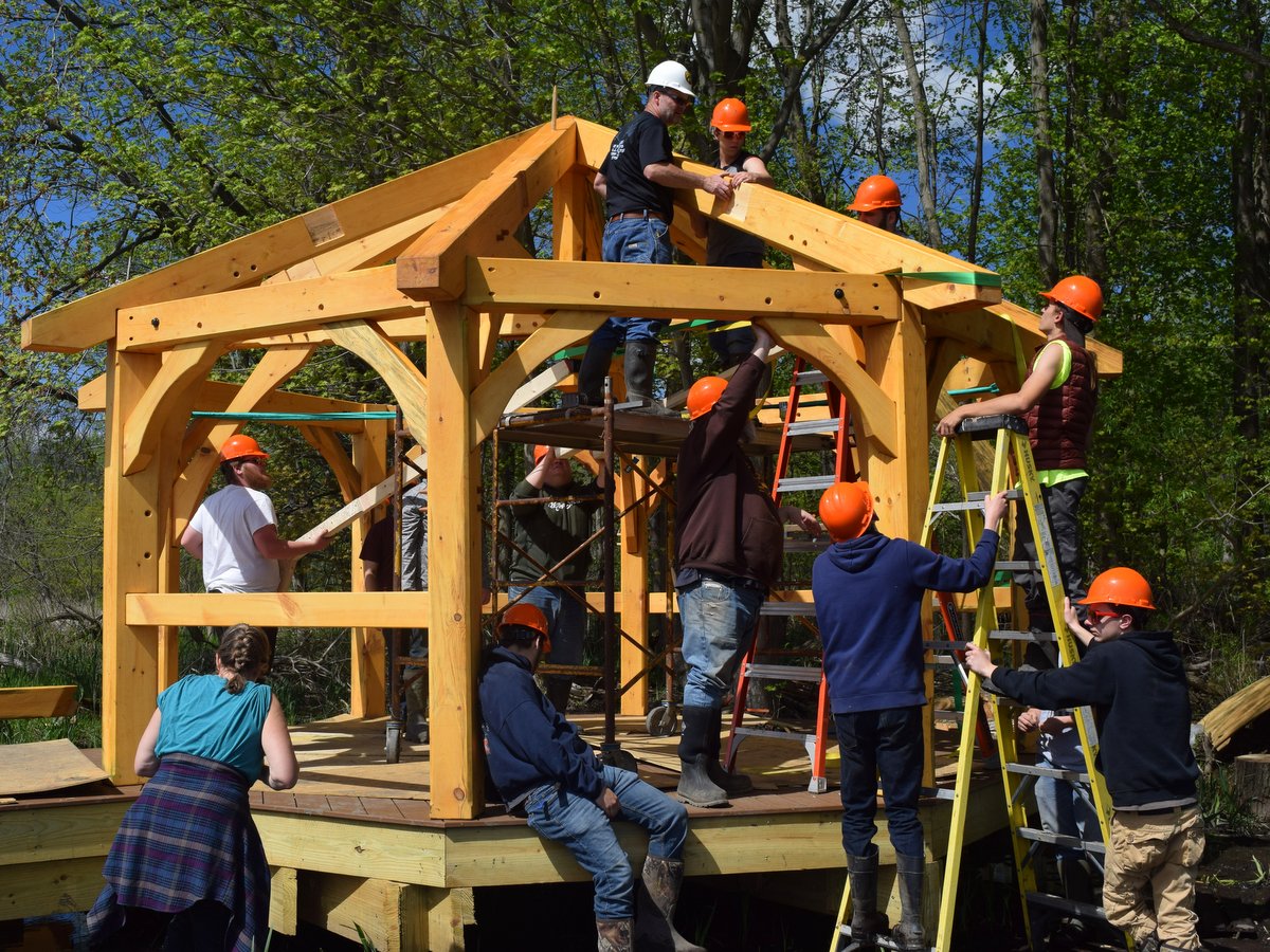
Townsend-Grady Wildlife Preserve: Thanks to a generous gift of land, the museum owns this 16-acre wetland adjacent to Crescent Beach at the north end of the west branch of Keuka Lake. The parcel has more than 1,400 feet of frontage on Sugar Creek, which is a navigable inlet to the lake. The parcel, which was named in honor of the donors’ father and grandmother, is deed-restricted for use as a wildlife preserve and will only be used for biological studies and educational programs by the museum. In addition to paddling by it on Sugar Creek, you can also hike the maintained trails and head down the boardwalk. At the end of the boardwalk is a beautiful octagon pavilion, constructed in a joint effort between the SFLM Advanced Timber Frame Class and a high school class from the Wayland-Cohocton schools. Enjoy a picnic lunch, snack, and respite here, accessing the pavilion on foot from the hiking trail, or by boat, tying off at the small craft dock in the lake.
If your adventure takes you out on the lake, hug the shoreline to the north and paddle alongside Crescent Beach. The water is quite shallow here, and conducive to a refreshing dip. Continue paddling south to get to the Keuka Lake State Park. There you will find a swimming area, hiking trails, and rest facilities.
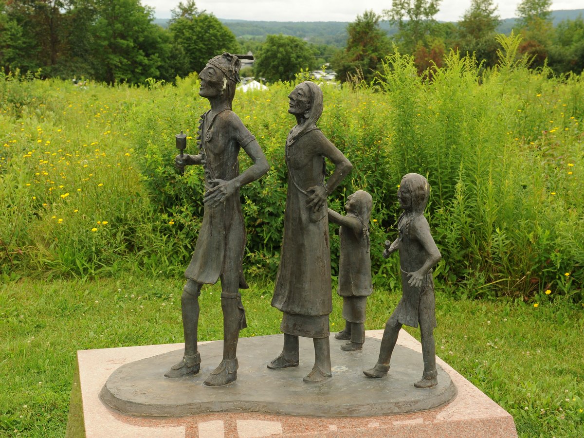
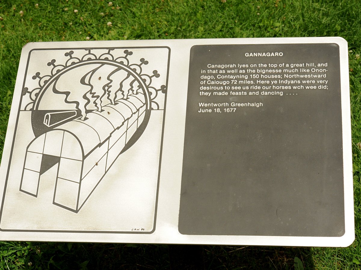
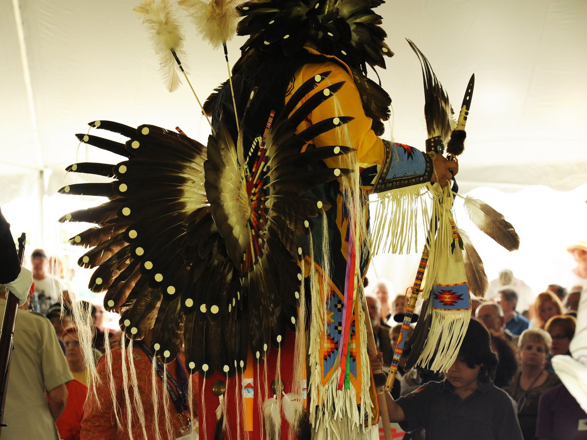
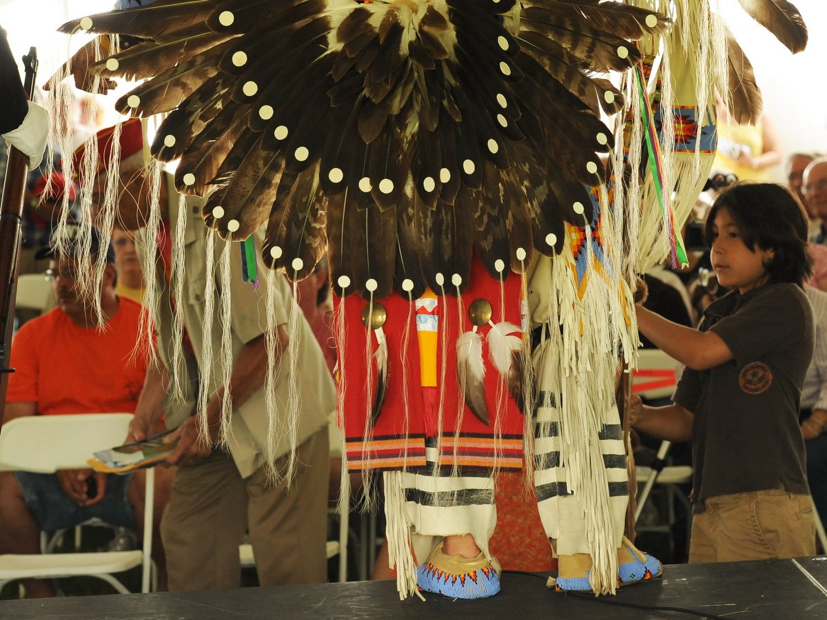
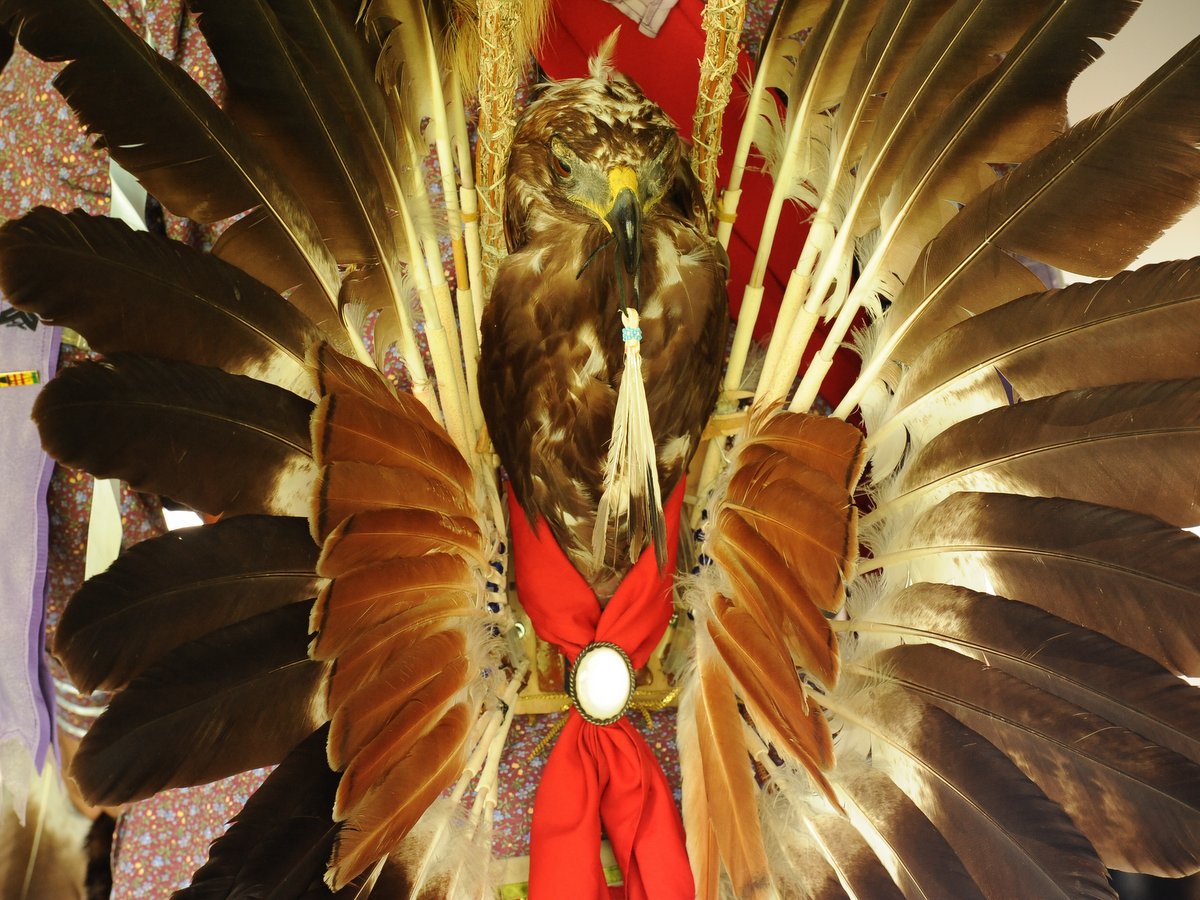
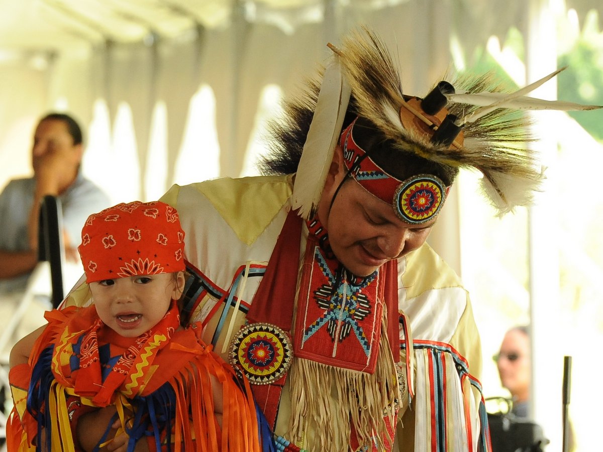
When Europeans arrived in North America during the late 15th century, what is now known as New York State was home to many distinct groups of indigenous peoples. Occupying portions of the Finger Lakes region and Western New York were the Seneca—Onöndowa’ga:’ in their own language, which means “Great Hill People.” The site of a former village at the south end of Canandaigua Lake called Nundawao, or Great Hill in English, is revered by the Seneca as the birthplace of their people.
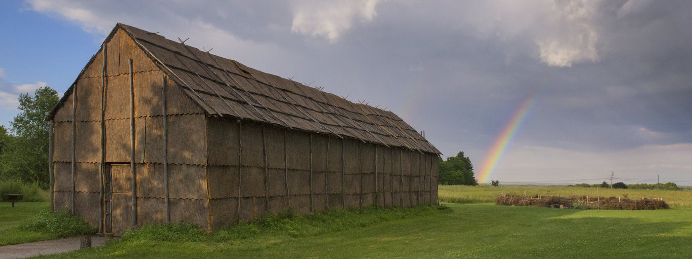
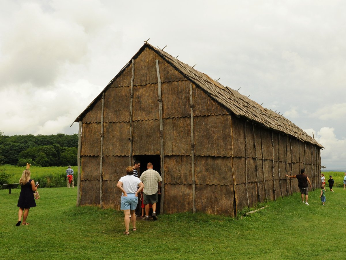
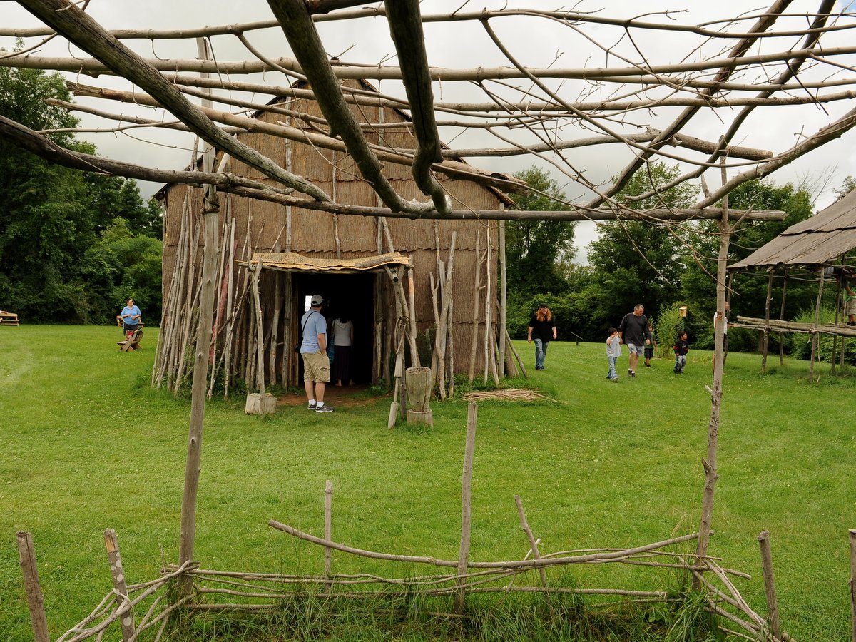
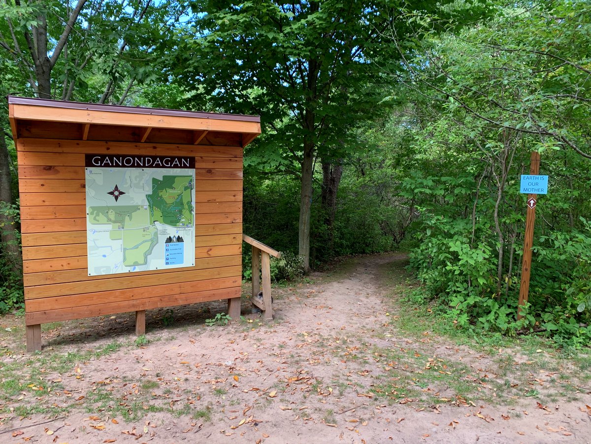
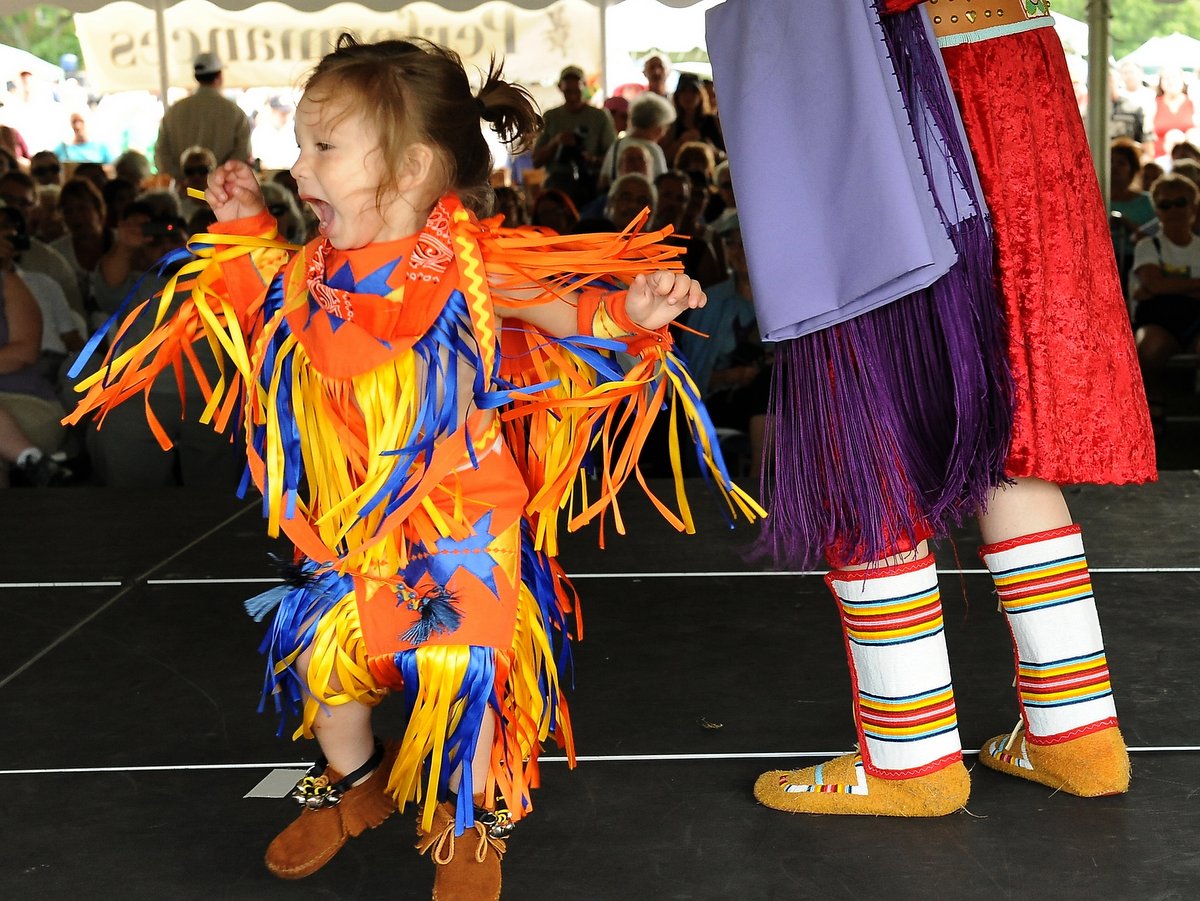
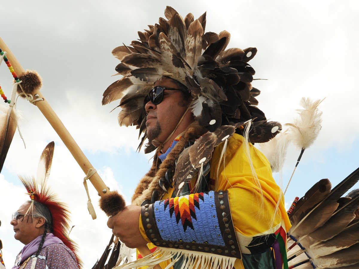
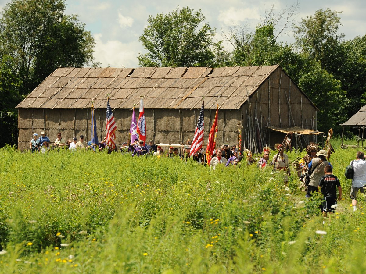
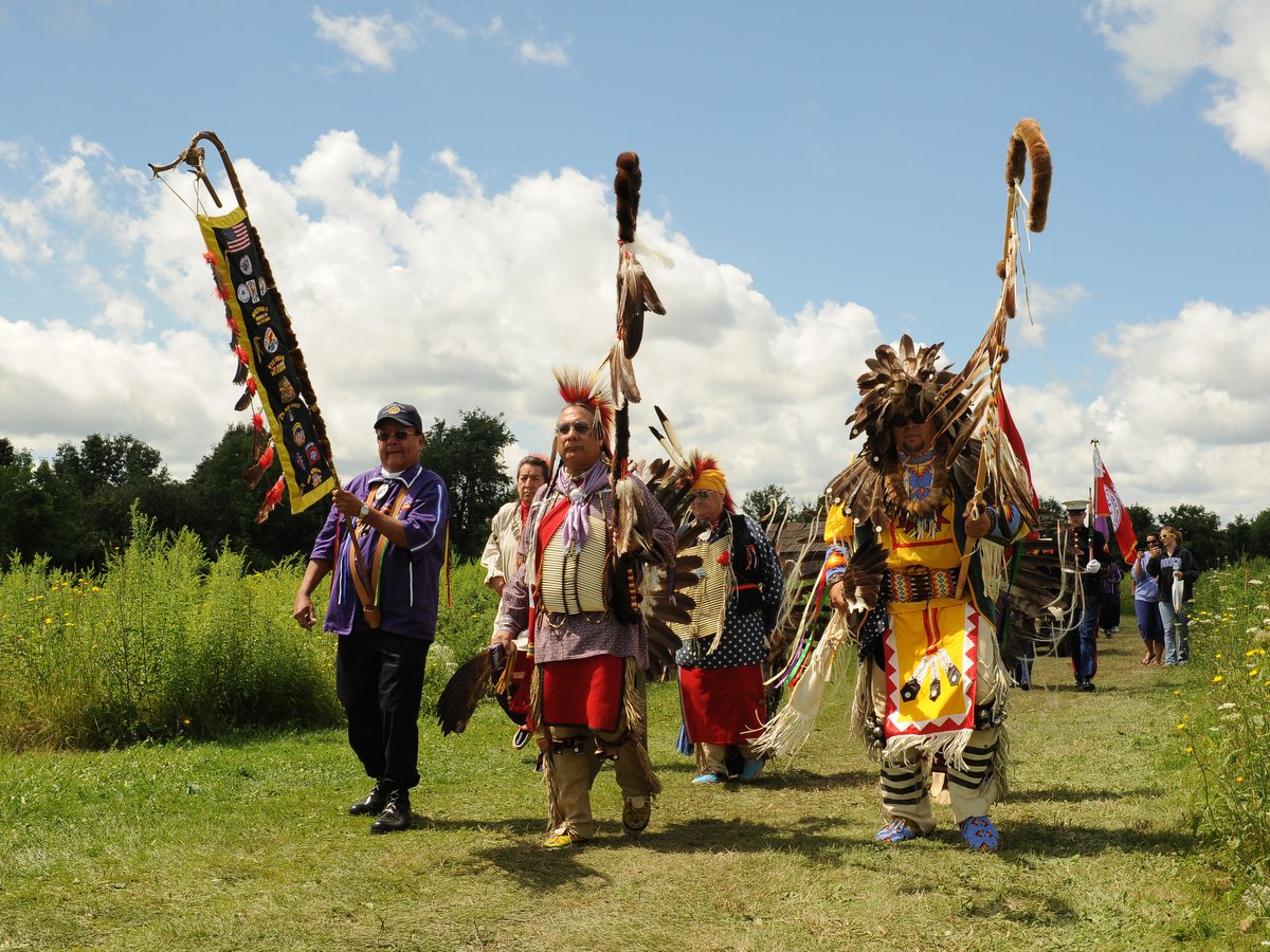
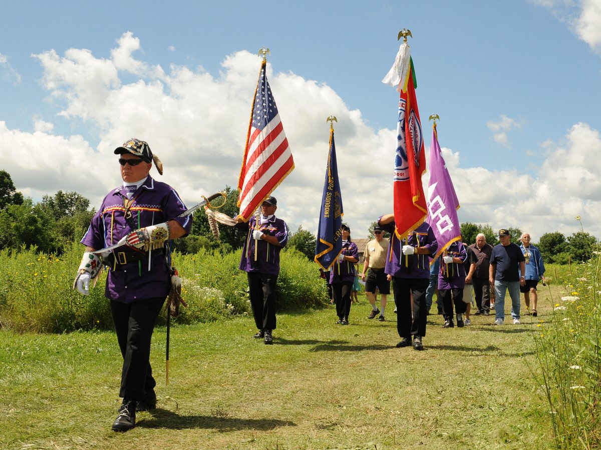
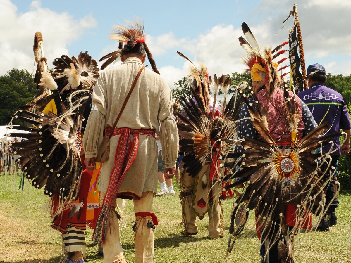
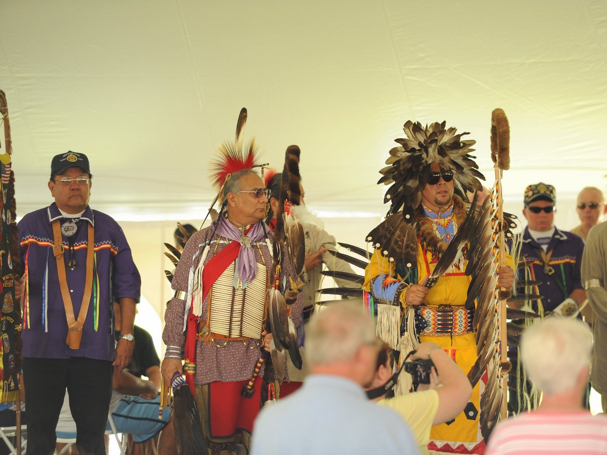
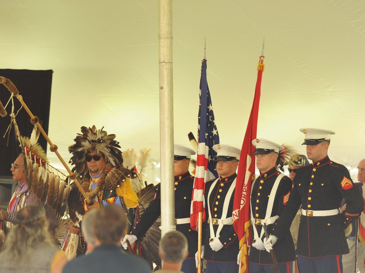
Spanning 569 acres, Ganondagan State Historic Site, a National Historic Landmark, is the original site of a 17th century Seneca town and home to the 17,300-square-foot Seneca Art & Culture Center, a Seneca Bark Longhouse, and a series of interpretive trails. Ganondagan is a rare gem in the Finger Lakes, designed to immerse visitors in the rich culture, history, and living traditions of the Haudenosaunee, a confederacy of nations including the Cayuga, Mohawk, Oneida, Onondaga, Seneca, and Tuscarora.
Photo: Nigel Kent
Photo: Edie Jodz
Photo: Nigel Kent
Photo: Nigel Kent
Photo: Edie Jodz
Photo: Nigel Kent
Photo: Nigel Kent
Photo: Sarah Weeden
Photo: Edie Jodz
Photo: Nigel Kent
Photo: Nigel Kent
Photo: Nigel Kent
Photo: Nigel Kent
Photo: Nigel Kent
Photo: Nigel Kent
Photo: Nigel Kent
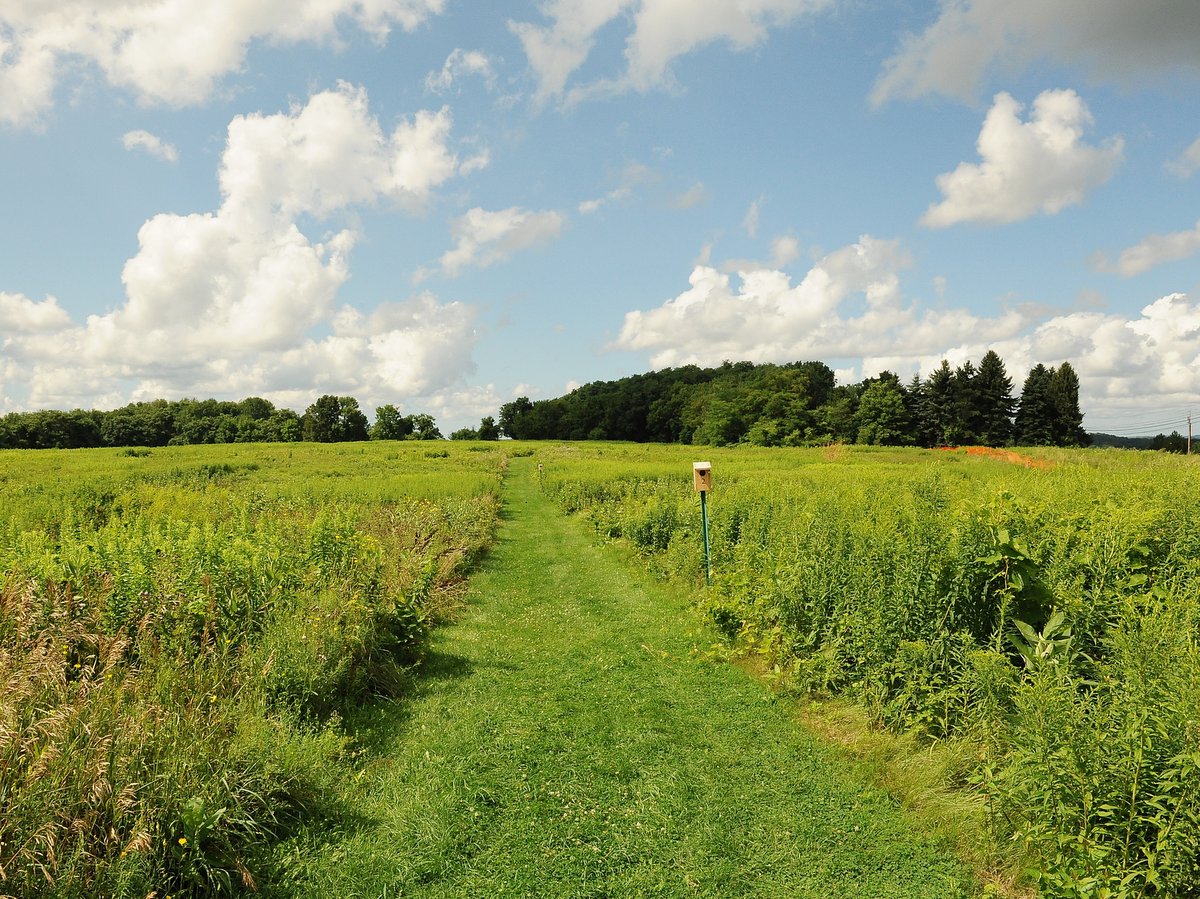
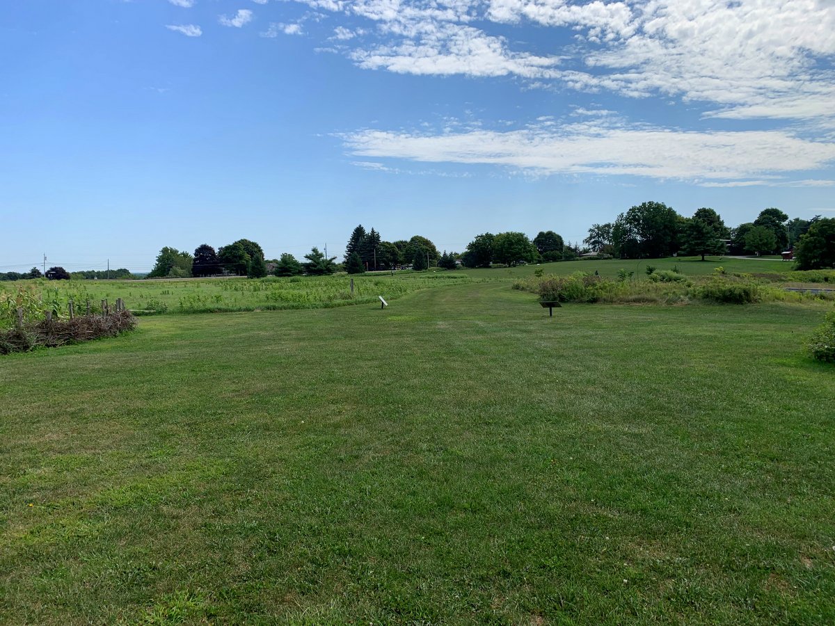
Experience firsthand the customs and beliefs of the Seneca on three main trails with interpretive signage, open year-round: the Earth is Our Mother Trail, the Trail of Peace, and the Granary Trail. Visitors are encouraged to take self-guided themed walks using GPS on these trails including the Tree Tour and Medicine Walk. In all, the 7.6-mile trail system at Ganondagan features a series of interconnected paths that can be adjusted for longer or shorter hikes.
The ethnobotanical Earth is Our Mother Trail highlights the close relationship between the Seneca people and the plant world. Plant collecting is prohibited but visitors are welcome to observe the many species used for food, medicine, ceremonial objects, art, clothing, and more. Interpretive signs guide visitors along this out-and-back trail that features hills, twists, and turns, so be sure to wear proper footwear. A round trip is 1.7 miles but mileage can be added by connecting to the Grasslands Trail, White Brook Trail, and other blazed paths. From here, hikers can also connect to the Seneca Trail, a 14-mile moderate point-to-point trail that runs from Boughton Park in Bloomsfield to the town of Victor, and is maintained by Victor Hiking Trails, Inc.
Photo: Nigel Kent
Photo: Nigel Kent
Photo: Nigel Kent
Photo: Nigel Kent
Photo: Nigel Kent
Photo: Nigel Kent
Photo: Nigel Kent
Photo: Nigel Kent
Photo: Nigel Kent
Photo: Nigel Kent
Photo: Nigel Kent
Photo: Nigel Kent
Photo: Nigel Kent
Photo: Nigel Kent
Photo: Nigel Kent
Photo: Nigel Kent
Photo: Nigel Kent
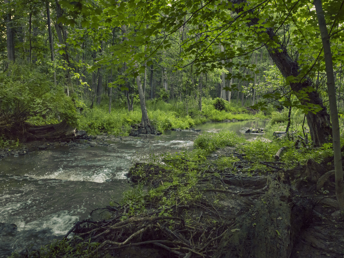
The Trail of Peace is a 0.8-mile mowed loop trail that passes the Bark Longhouse and details Seneca oral tradition, how the Haudenosaunee became a confederacy, and the story of the original town of Ganondagan. Visitors can also enjoy a variety of birds that inhabit the meadows here along this mostly level path.
The trailhead and parking lot for the 0.6-mile Granary Trail at Fort Hill is located one mile to the west along Boughton Hill Road. The Seneca call this location Gahayanduk, meaning “a fort was there,” and indeed, this was the site of a refuge and fortified granary used to store vast amounts of corn. Interpretive signs detail the Denonville campaign, when a large French army led by the governor of Canada tragically attacked and destroyed Ganondagan in 1687. Those looking for a longer hike can connect to the Granary Trail from the main site by taking the blazed Great Oak Hill Trail to the Eagle Trail for a 3.1-mile round-trip. Hikers can also connect to Dryer Road Town Park from the Eagle Trail.
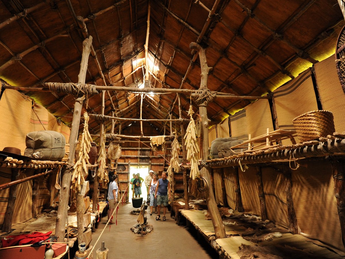
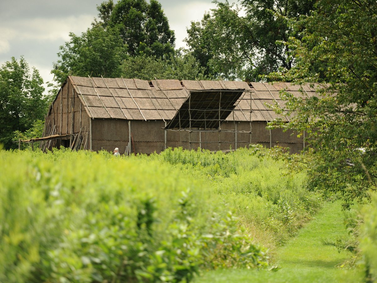
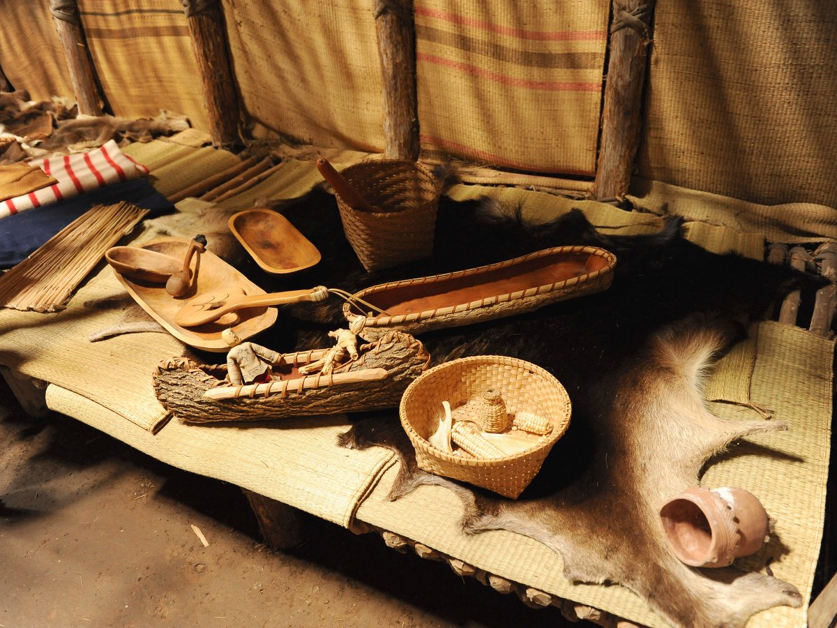
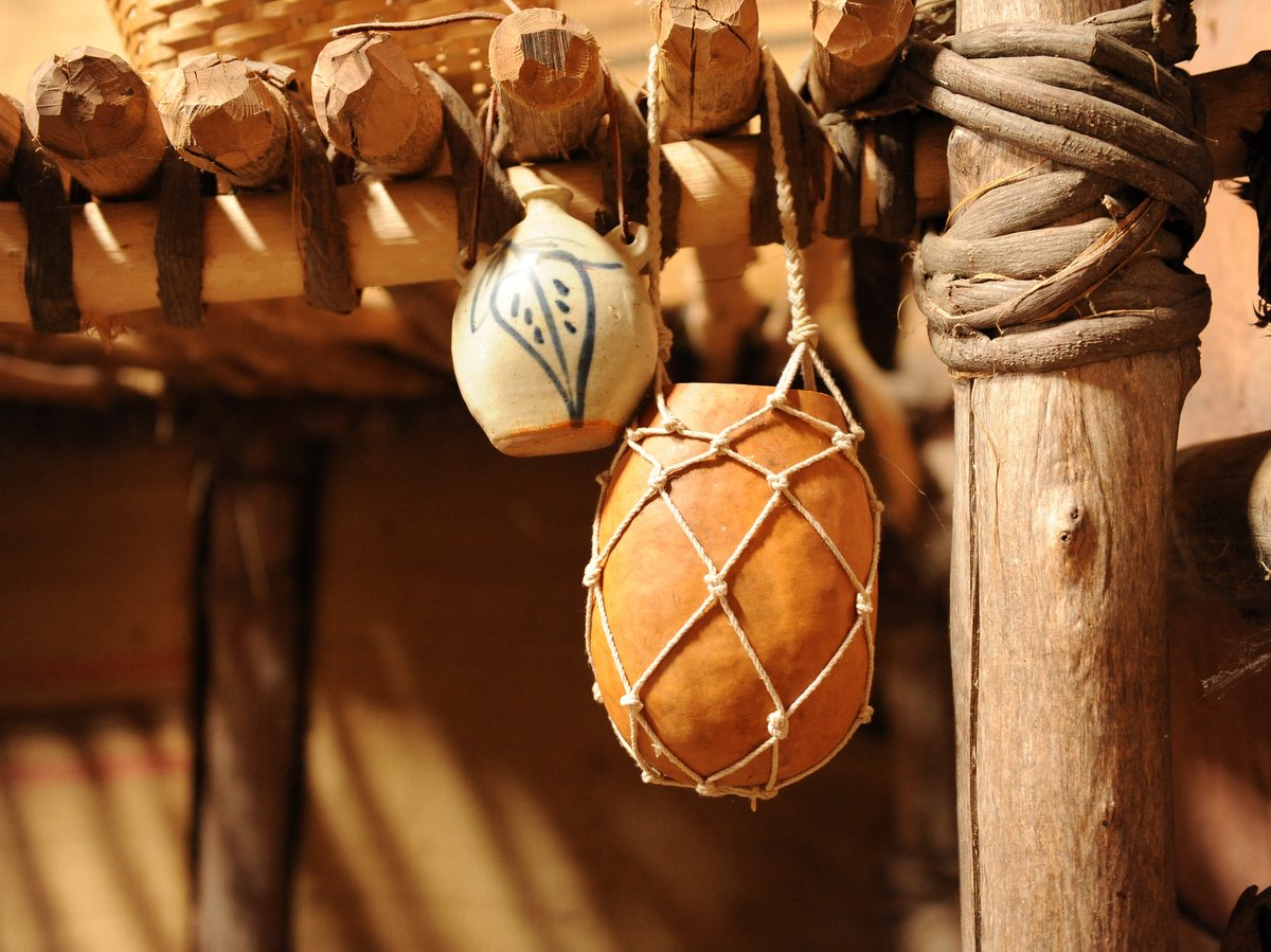
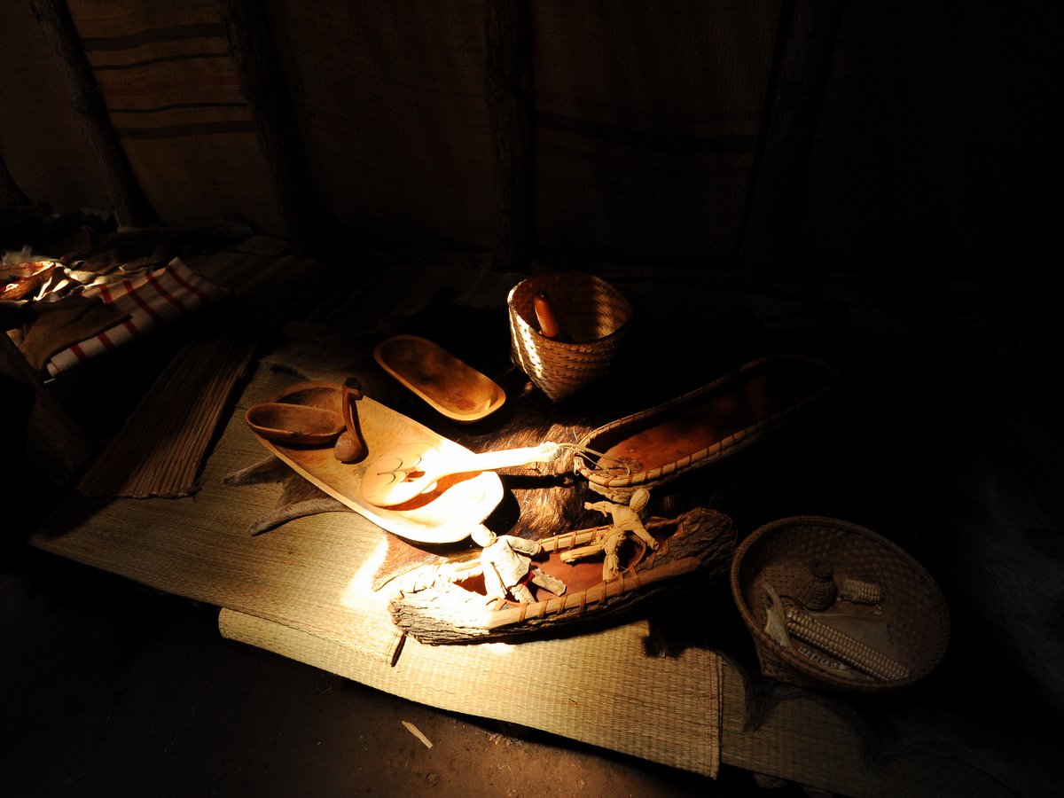
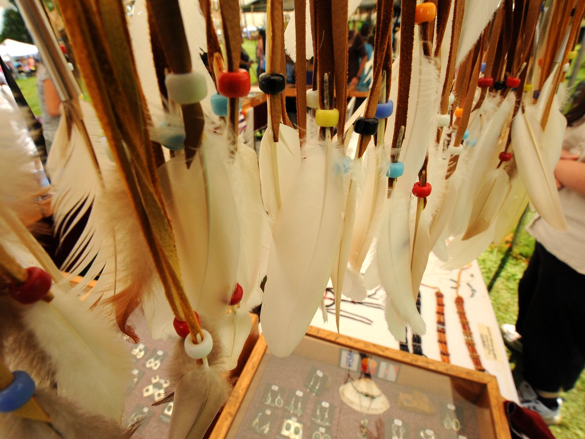
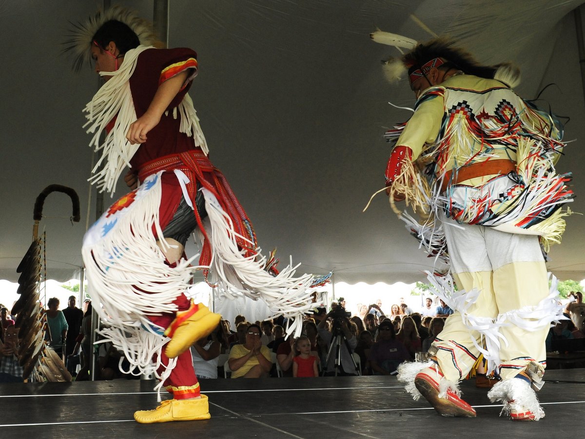
Visitors to Ganondagan should be sure to visit the Seneca Art & Culture Center which serves as a year-round interpretive facility featuring a theatre, gift shop, and multimedia exhibits that tell the story of Seneca and Haudenosaunee art and culture. The Bark Longhouse, a traditional multi-family Seneca dwelling, is located just outside the center and replicates an original 1670 longhouse with crops, herbs, medicinal plants, items crafted by the Seneca, and colonial trade goods. Many public events are held throughout the year, organized by the Friends of Ganondagan, a non-profit organization formed to support Ganondagan State Historic Site.
Trails are free and open to the public, although there are seasonal admission fees to visit the longhouse and Art & Culture Center. Note the longhouse is closed in winter and the main facility closes for a month in January.
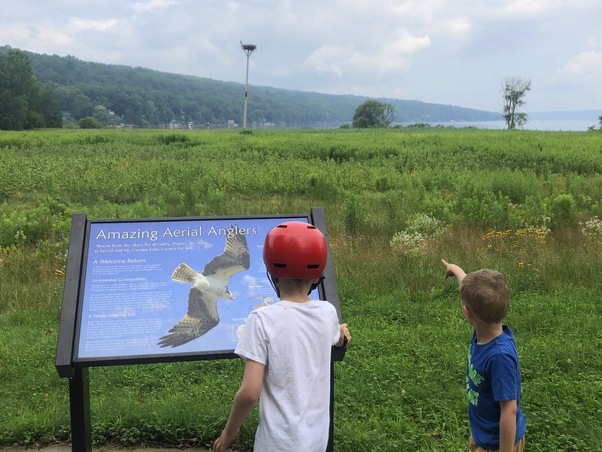
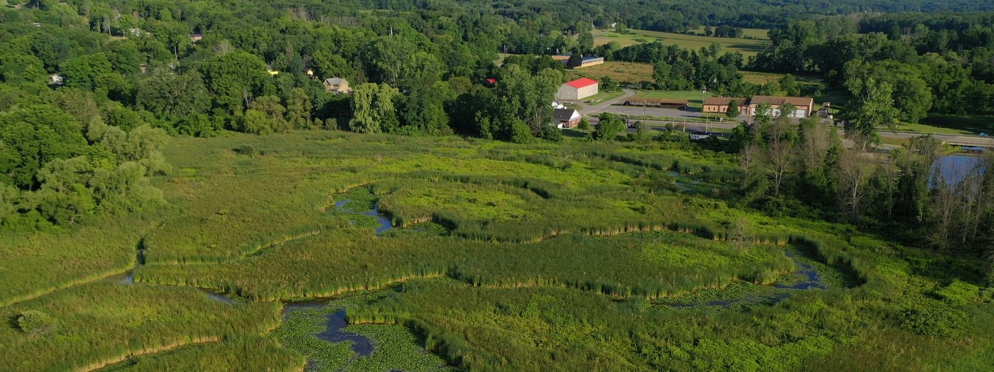
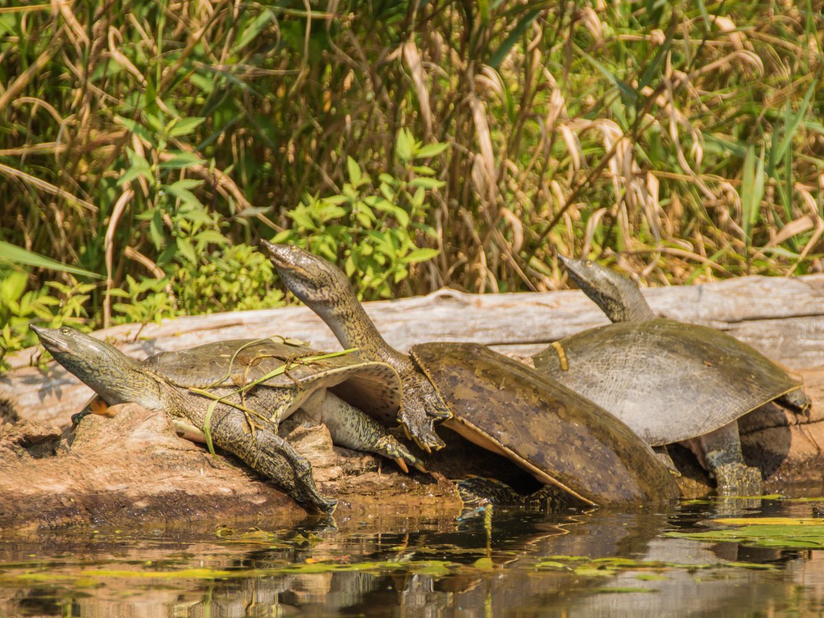
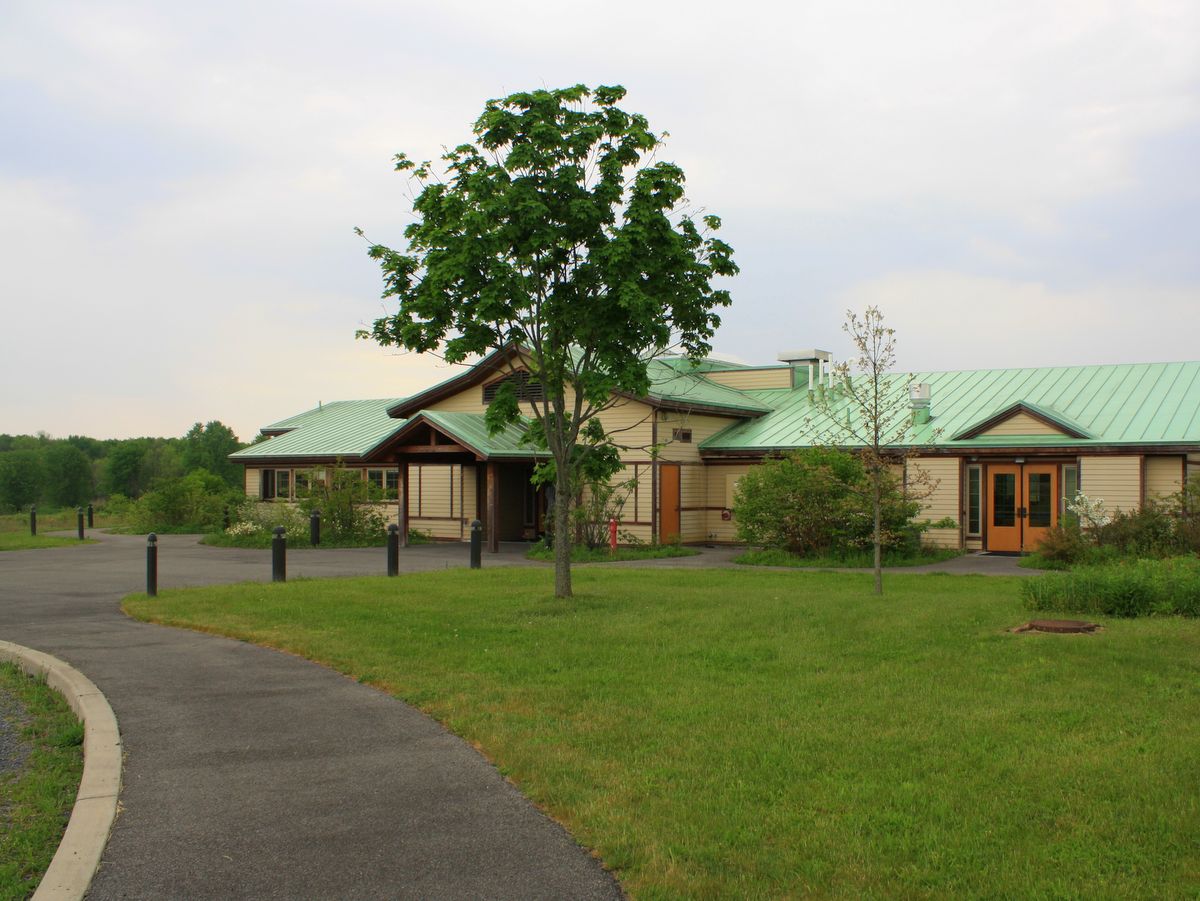
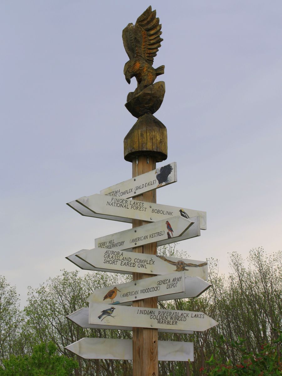
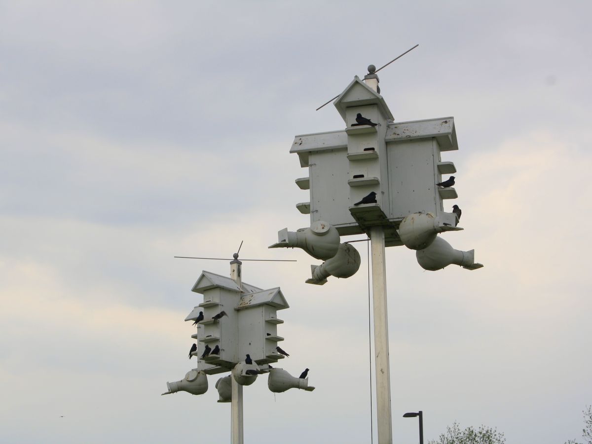
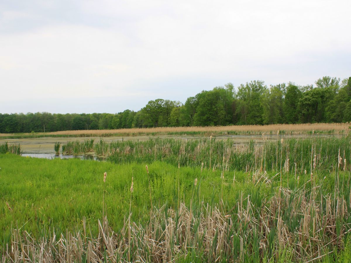
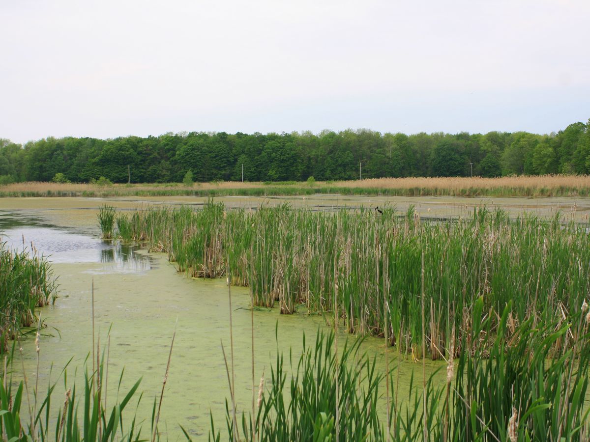
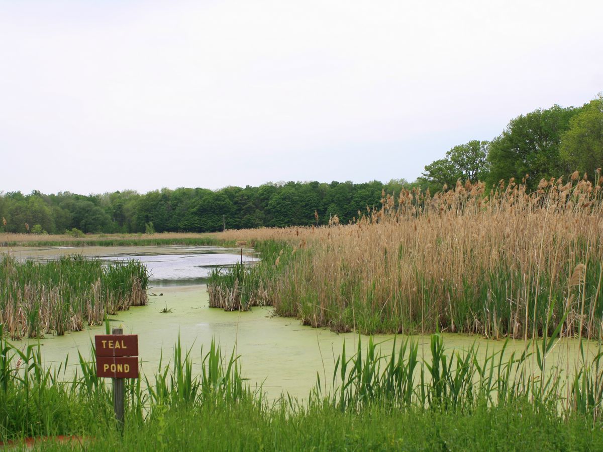
North of Cayuga Lake is a vast, flat area filled with marshes and wetlands that is a stopover for a tremendous number of migratory waterfowl along the Atlantic Flyway (see Montezuma National Wildlife Refuge for more information). The area is often referred to as the Montezuma Wetland Complex and includes more than 50,000 acres of land that is preserved and restored by a variety of governmental and private organizations including the US Fish and Wildlife Service, the New York Department of Environmental Conservation, Ducks Unlimited, The Nature Conservancy, private landowners and, of course, the New York Audubon Society. Along the northwest edge of the complex is the Montezuma Audubon Center (MAC), which is often referred to as the information hub of this vast network of important ecological niches.
In addition to the MAC building, there are two ponds, an observation platform, as well as streams and wetlands located on the 198-acre property. Walking trails loop around the ponds and through the adjacent fields and forest; note that dogs and bikes are not permitted along the trails.
Photo: FLLT
Photo: FLLT
Photo: FLLT
Photo: FLLT
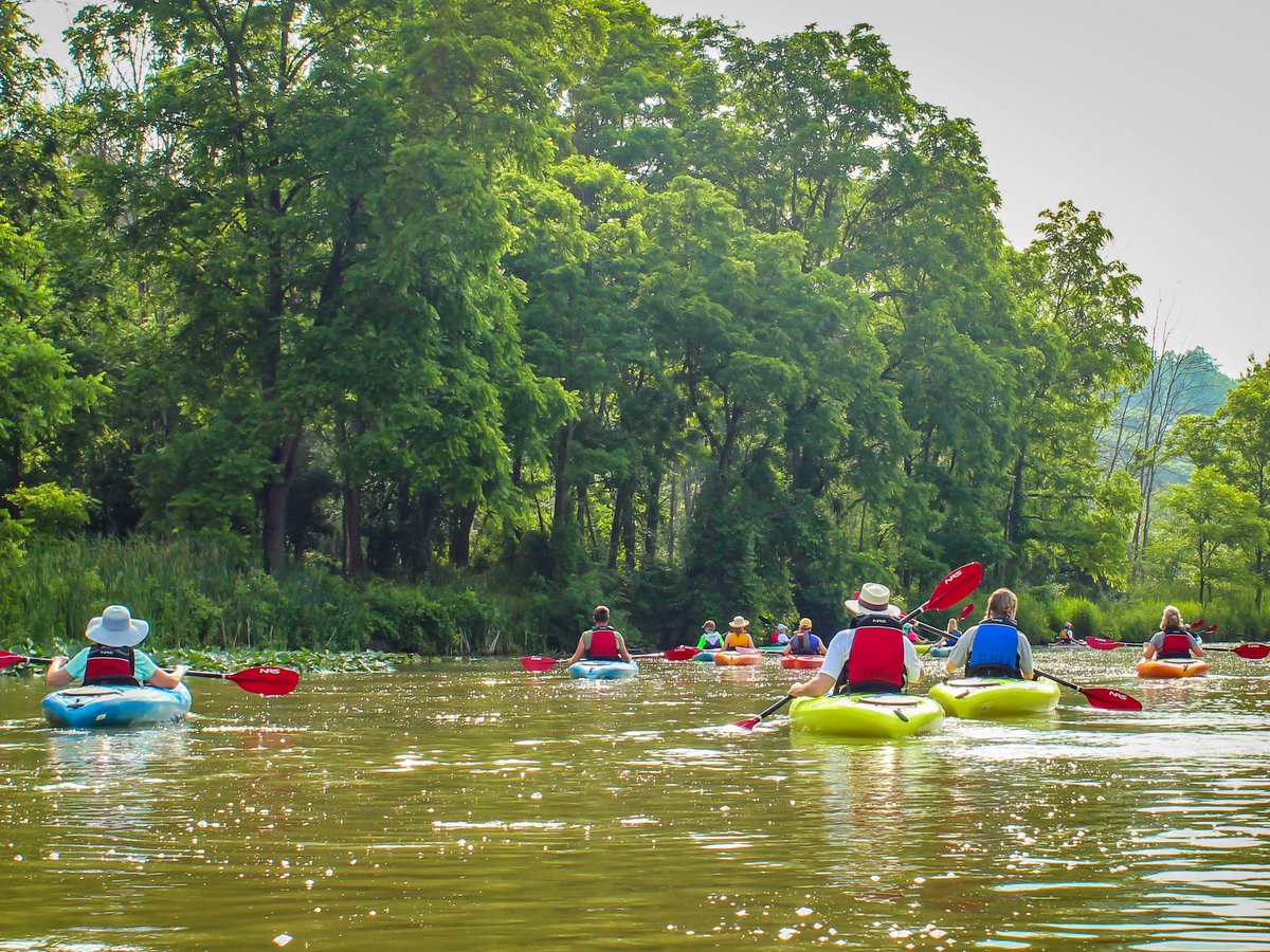
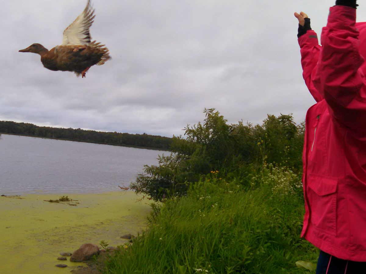
Aside from the wildlife viewing and important preserved habitats that can be explored on the property, the role the MAC plays as an informational and activity hub for the Montezuma Wetland Complex as a whole cannot be understated. The center offers numerous events that focus on habitat restoration, wetland ecology, bird migration, and general nature-oriented programs, such as locavore and wild edibles demonstrations. Of particular note are organized canoe and kayak trips around Howland Island and nearby Cayuga and Seneca Lakes. These boating trips are offered regularly and are great opportunities for people hoping to learn more about the Montezuma Wetland Complex and/or for trying out canoeing and kayaking.
In winter, snowshoes are available for rent so the exploration of the area can continue year-round. The MAC also has youth camps and festivals related to wildlife and conservation through the summer season.
In short, any plan for visiting the facilities within the Montezuma Wetland Complex should include a short stop at the MAC to see what is going on on that day or in near the future. At the very least, pick up a copy of the incredibly useful and informative guide and map provided by the Friends of Montezuma Wetland Complex.
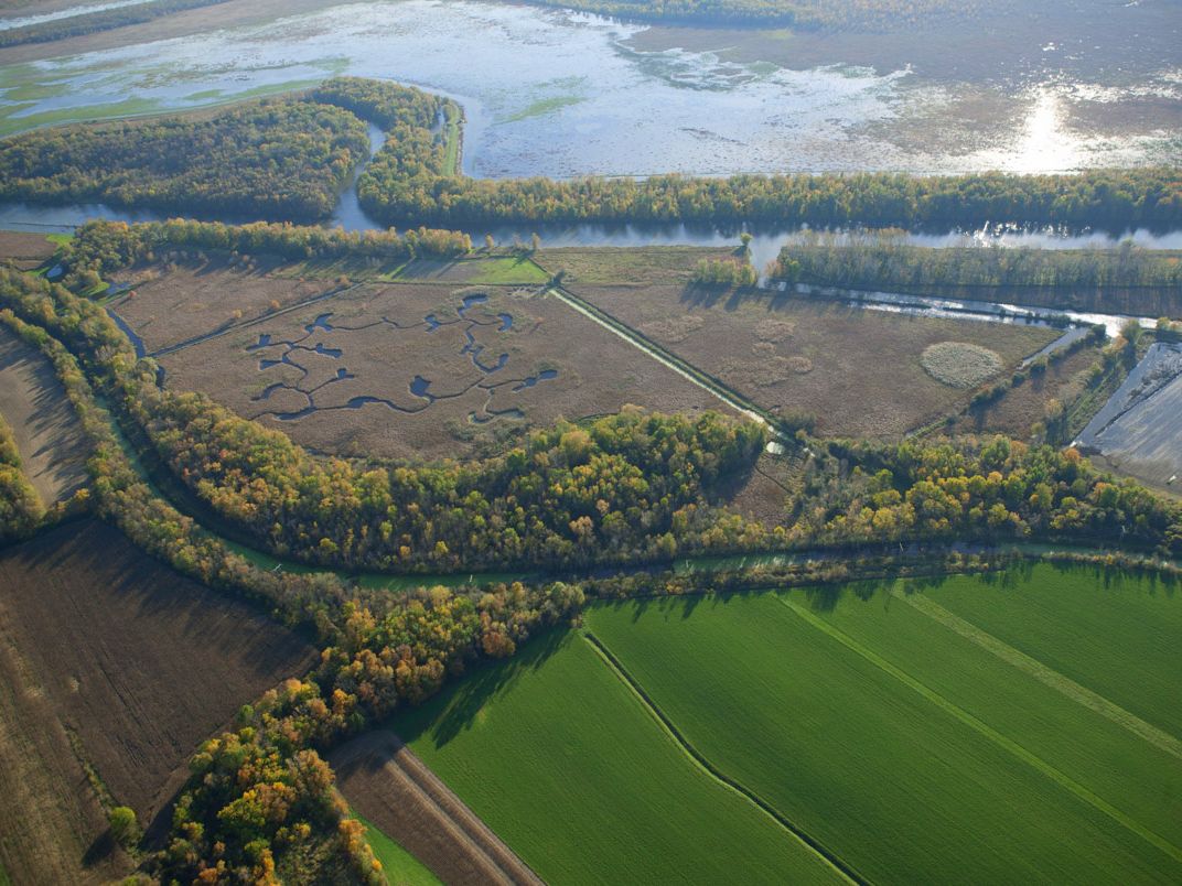
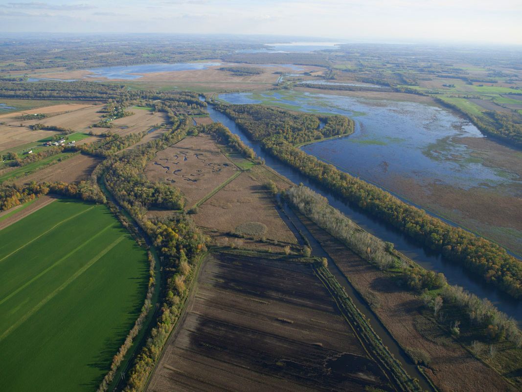
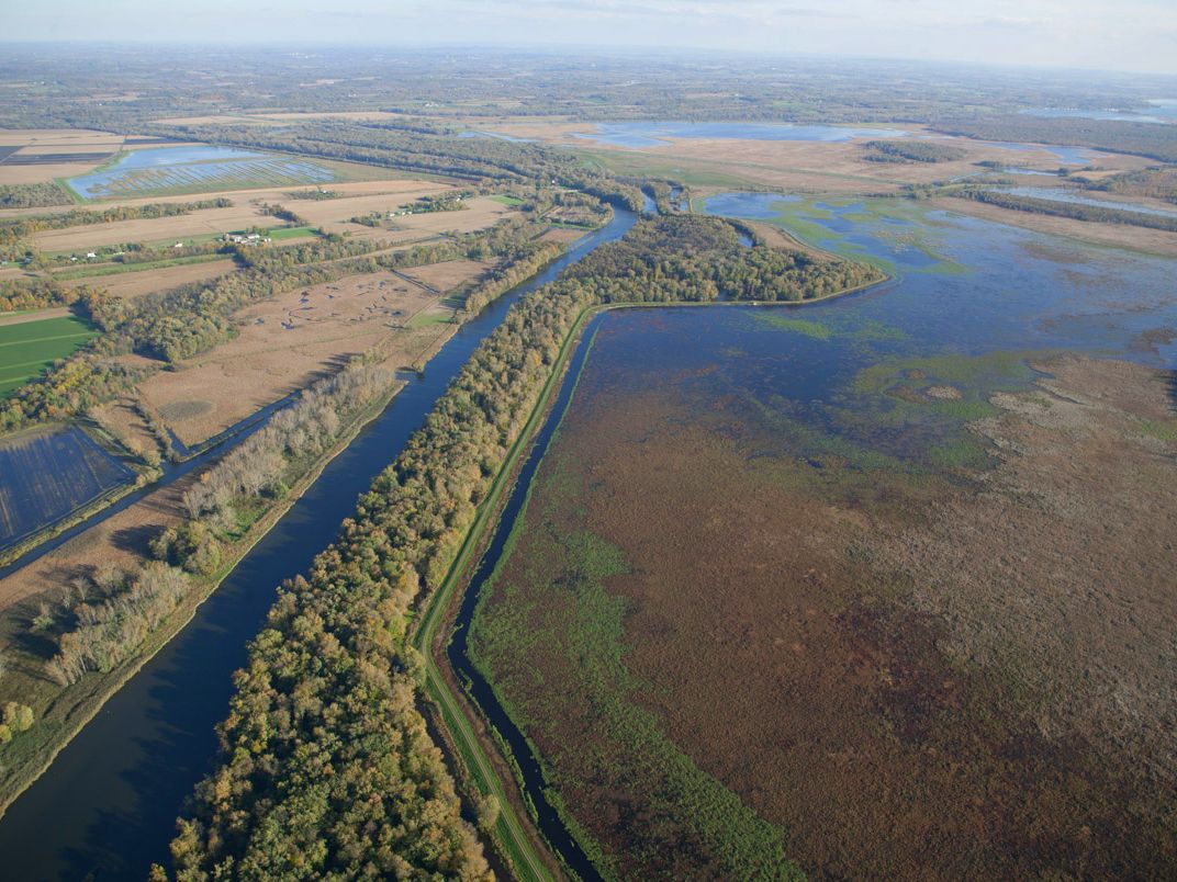
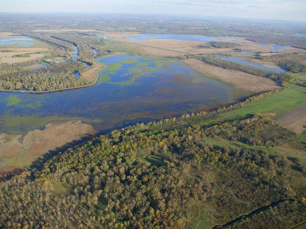
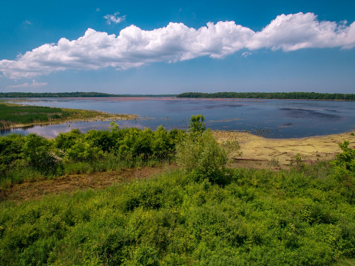
Before the Finger Lakes region was fully settled, there existed a vast wetland north of Cayuga Lake that extended nearly to Lake Ontario. It was commonly referred to as the “Montezuma Swamp,” but as industrial expansion and the construction of the Erie Canal worked their way across the region, nearly 70% of the wetland was drained and lost.
Presently, 50,000 acres of wetlands and related uplands, known as the Montezuma Wetland Complex, are being preserved and rebuilt by conservation groups in hopes of rehabilitating this vitally important habitat. The largest of the protected areas, over nine thousand acres, is the Montezuma National Wildlife Refuge (MNWR). Managed by the U.S. Fish and Wildlife Service, the refuge maintains numerous types of pools and ponds as well as field and scrublands that are preferred by hundreds of thousands of migratory birds.
Photo: Bill Hecht
Photo: Bill Hecht
Photo: Bill Hecht
Photo: Bill Hecht
Photo: Chris Ray
Photo: Chris Ray
Photo: Chris Ray
Photo: FLLT
Photo: FLLT
Photo: FLLT
Photo: FLLT
Photo: Chris Lajewski
Photo: Chris Lajewski
The refuge, along with other protected areas within the Montezuma Wetland Complex, makes up one of the largest bird sanctuaries along the Atlantic Flyway in the northeast. The flyway is a migratory path that essentially follows the Atlantic Coast, starting in the arctic islands and the coast of Greenland and extending down the coast over the Appalachian Mountain chain to the Gulf of Mexico and beyond.
In a sense, the refuge not only supports local habitats but also provides destination habitats as well. The crucial role it serves in global ecology is why it is recognized as an Important Bird Area (IBA) by the Audubon Society and as a Bird Conservation Area (BCA), by New York State. BCAs are a New York State program modeled after the Audubon’s IBA.
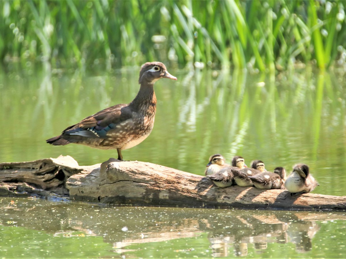
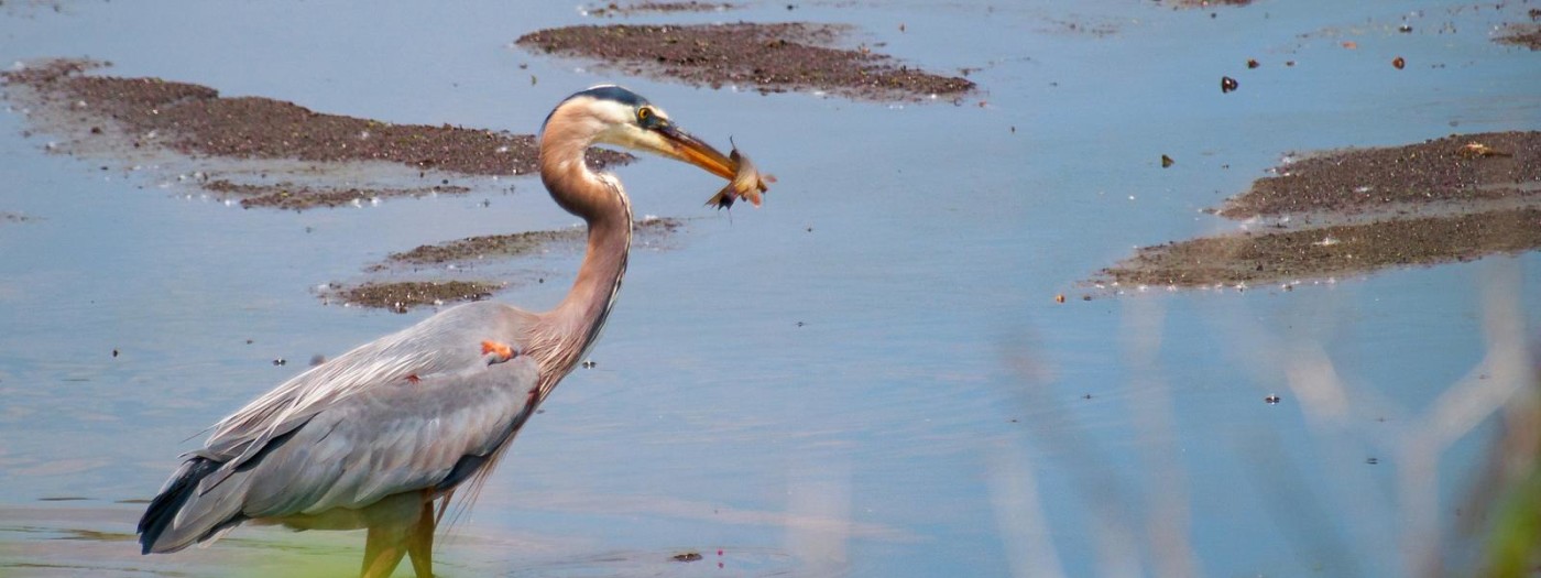
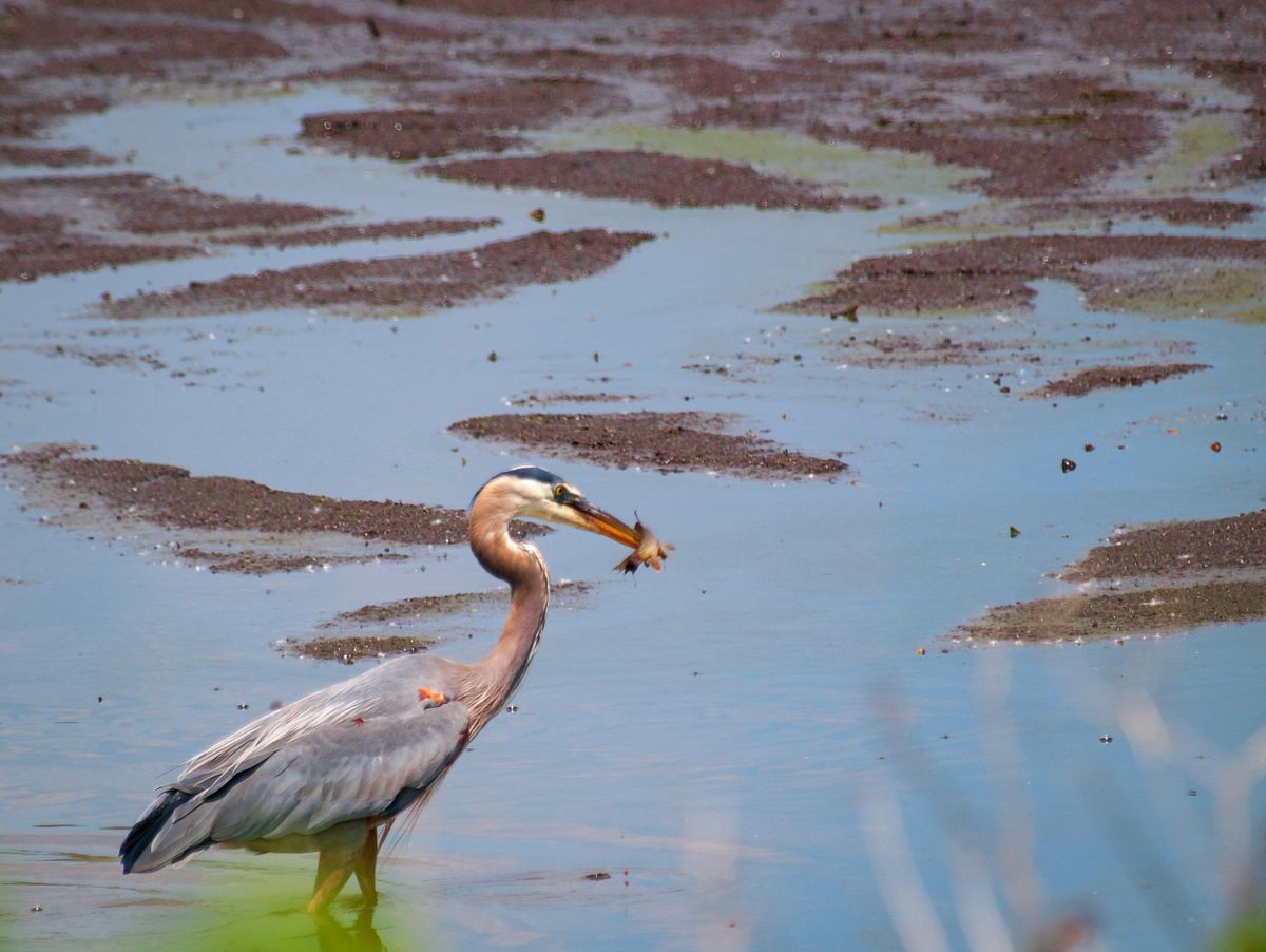
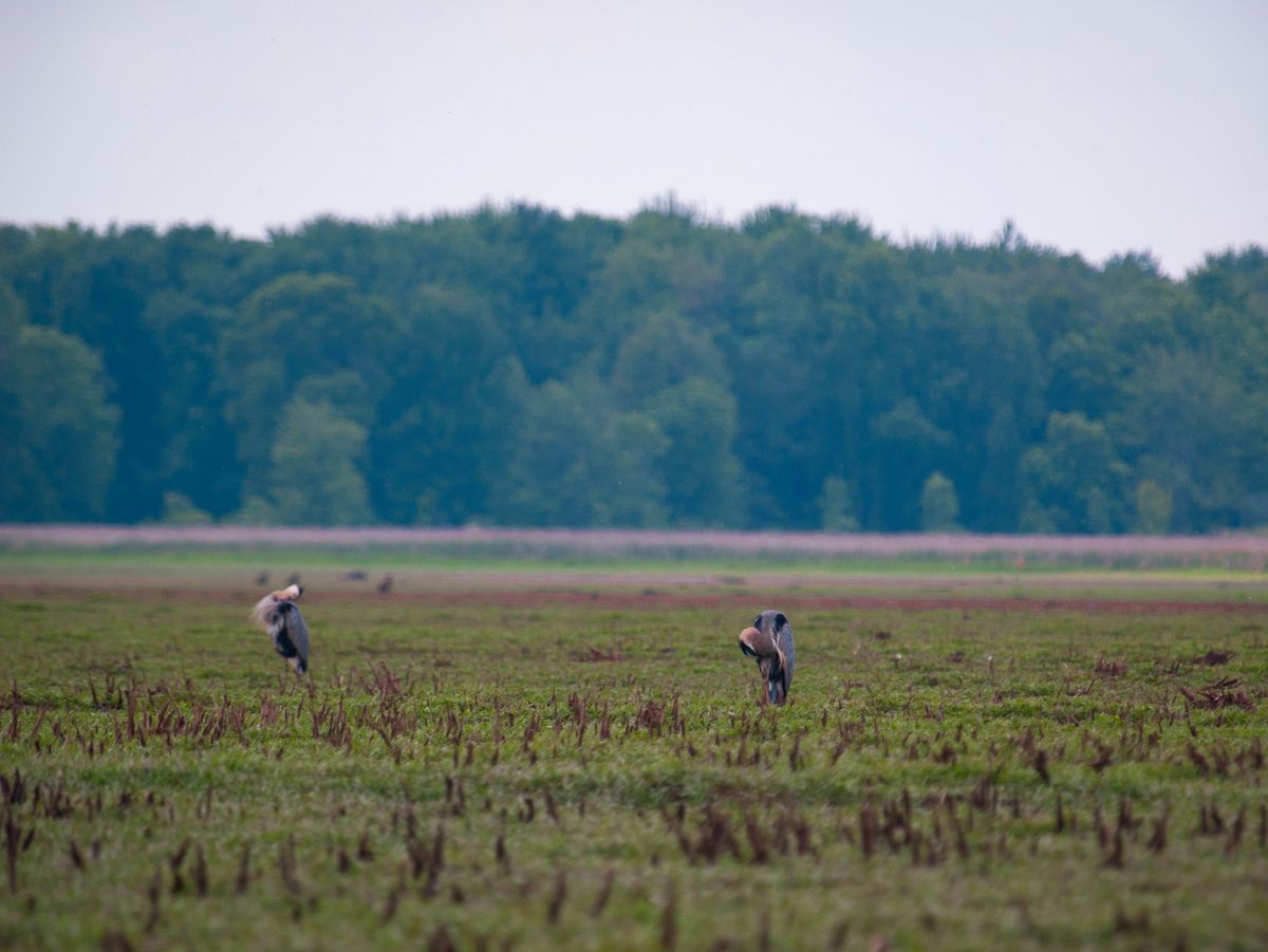
Nearly a million birds, including Northern Pintail, dowitchers, and widgeons utilize the refuge during migration. Snow geese can be seen in the tens of thousands! Spring and fall are the best times to see massive flocks of migratory birds, but Montezuma is not just a stopover for passing shorebirds and waterfowl. Cerulean Warblers, Virginia Rails, and Sandhill Cranes all use the refuge as breeding habitat.
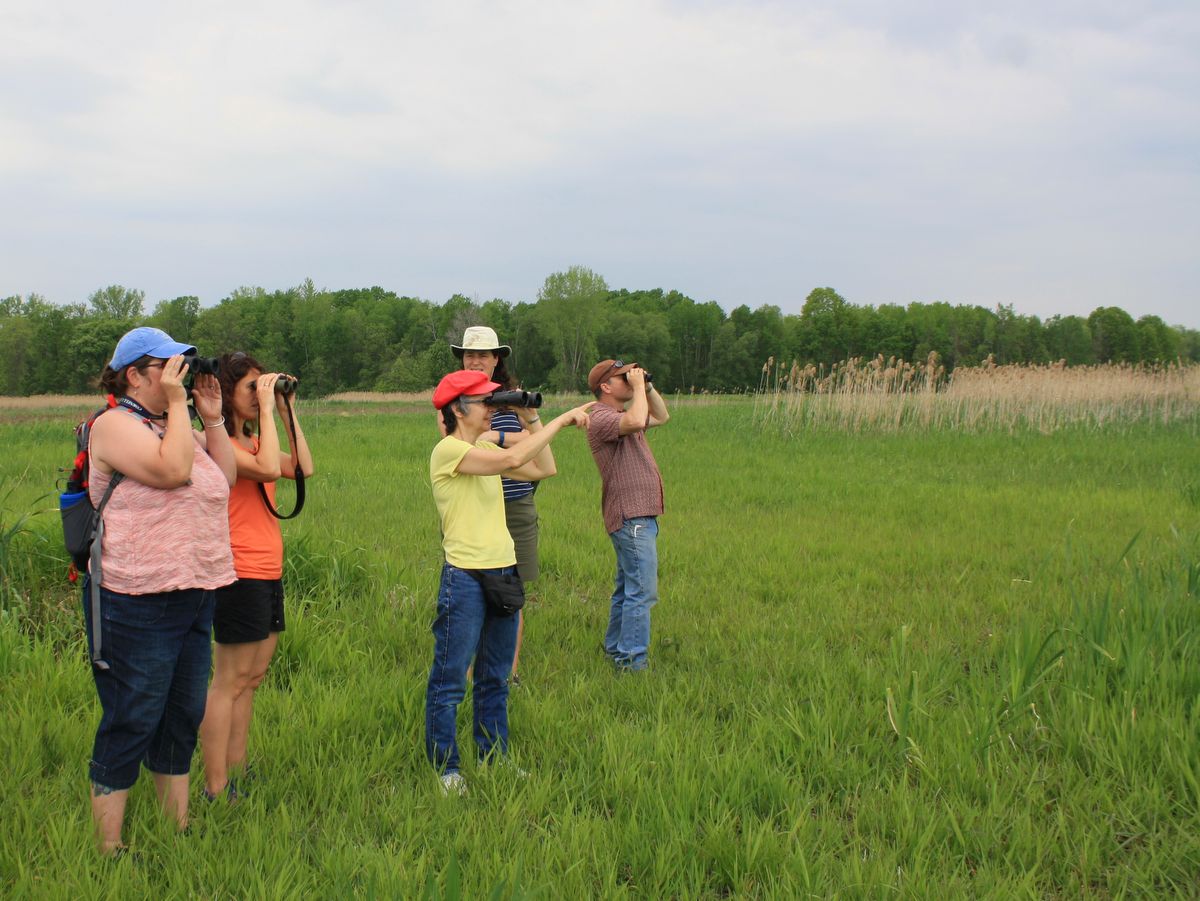
Though the wildlife refuge system operates under the auspices that “wildlife comes first,” the area is still full of opportunities to enjoy and view the abundant wildlife. Perhaps the most popular activity is the “Wildlife Drive” which encircles many of the ponds and pools. The 3.5-mile drive features a local radio station as well as “guide by cell” information points that describe the nature of the refugee, numerous ponds, and the many species of birds that visit the wetland. There are also observation towers, several miles of hiking trails along the Esker Brook Trail system (located just to the west of route 89), and a short walk near the refuge’s headquarters and visitor center.