PART OF OUR REGIONAL CONSERVATION AGENDA
Protect Our Lakes, Streams & Drinking Water
Theme 1 from our report on strategies for permanently protecting the priceless lands and waters of the Finger Lakes region
Here we share the first set of strategies from Lakes, Farms, and Forests Forever, our fully illustrated report which you can find on our web site at fllt.org/top10.
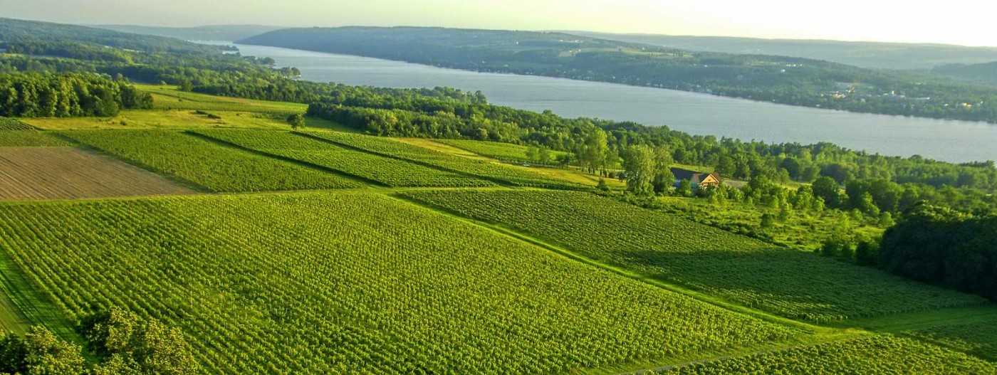
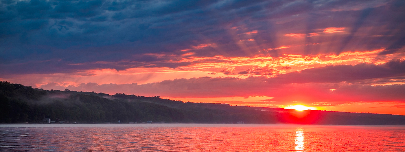
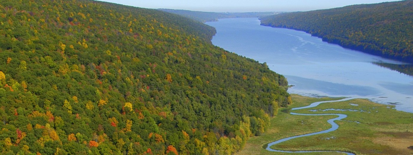
The eleven Finger Lakes are the lifeblood of the region. They provide drinking water for one million residents while attracting tourists from around the world. The lakes define local culture and traditions, creating bonds among families and communities that are cherished for a lifetime.
The lakes have long been known for their clean waters. In recent years, however, nutrient-laden runoff, exacerbated by a warming climate, has resulted in declining water quality. Five of eleven lakes reported significant outbreaks of toxic algae in 2015 — resulting in health alerts warning against swimming and drinking the impacted water. Toxic algae can cause nausea; skin, eye, and throat irritation; and breathing difficulties. It is harmful for wildlife, pets, and humans.
Today, the stakes are high to save our remaining pristine lakeshore as development pressures increase. Soil erosion from farm fields and contamination from lakeshore septic systems both increase the likelihood of future toxic algal blooms. All 11 lakes are at risk. Let’s save our lakes by aggressively countering these threats.

The conservation strategies in this theme:
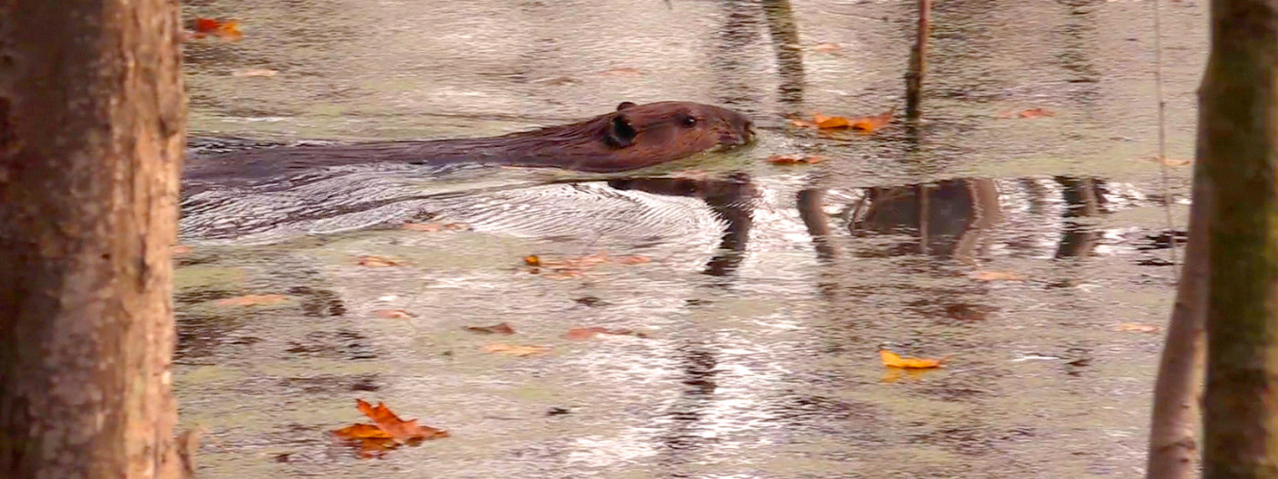
Buffer Our Streams & Create New Wetlands
Create permanent streamside buffers on farms and other lands that directly affect water quality for towns and cities across the region. Support a systematic effort to restore and create wetlands to filter runoff and protect our waters while providing valuable wildlife habitat.
Save Our Last Undeveloped Shoreline Now
Protect our last wild shoreline through the acquisition of parks and conservation land as well as the use of conservation easements (perpetual legal agreements that limit development while keeping land in private ownership).
Protect the City of Syracuse Drinking Water Supply
Restore the successful program that used conservation easements to secure environmentally sensitive lands adjacent to Skaneateles Lake, the primary drinking water supply for Syracuse residents.
What you can do
If you love the Finger Lakes region, please take a moment to read Lakes, Farms, and Forests Forever. You can download a digital copy at fllt.org/top10 and request free print copies. Please share with friends who love our lands and waters, and consider supporting the Finger Lakes Land Trust by becoming a member and getting involved at our events and volunteer opportunities.
Learn More
Conservation
Recreation
Share This