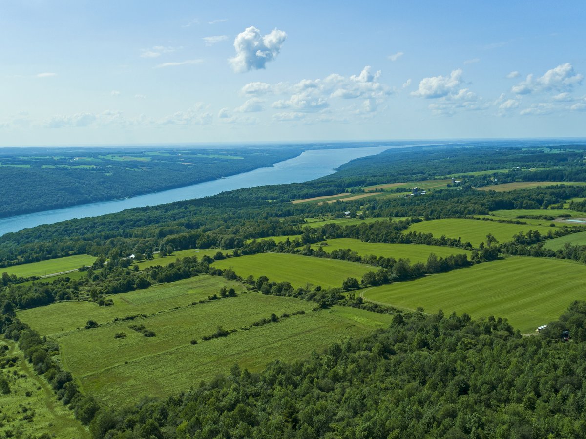
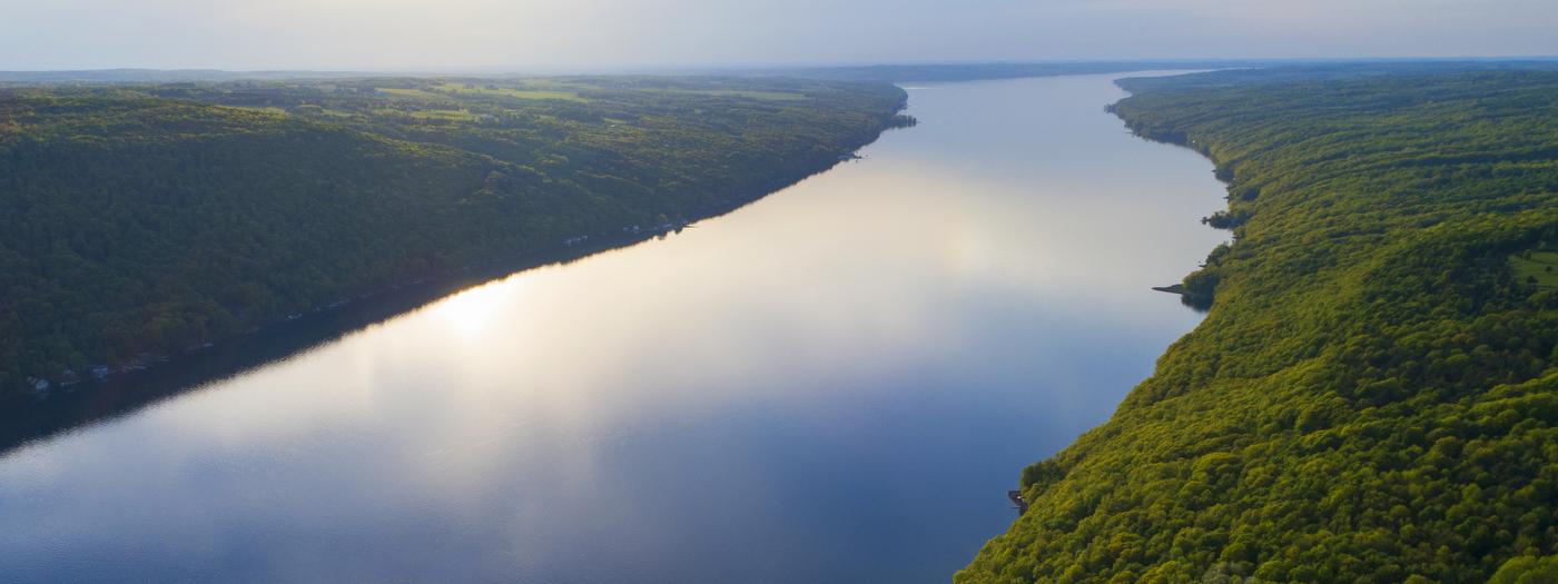
The Finger Lakes Land Trust (FLLT) has acquired 101 acres of open space just outside the village of Skaneateles.
The property will be retained and managed by the FLLT in perpetuity as a publicly accessible nature preserve to be known as the Shotwell Brook Conservation Area.
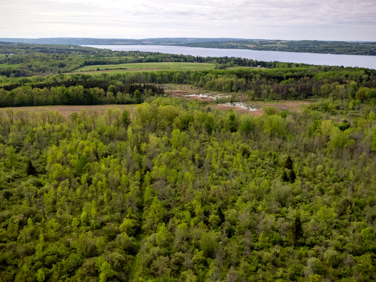
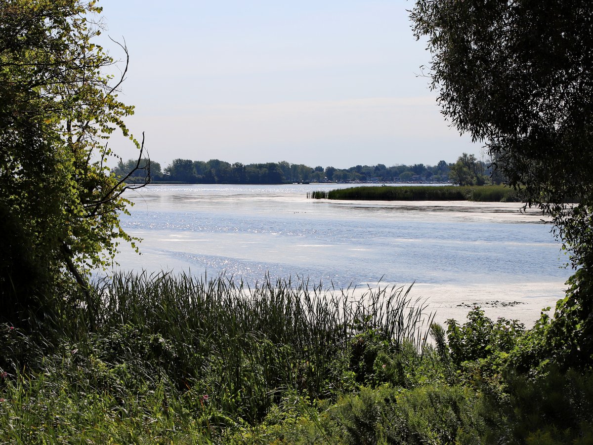
The property was identified as a conservation priority due to its location near the headwaters of Shotwell Brook, a key tributary of Skaneateles Lake. The parcel features more than 1,000 feet of frontage on the brook and more than 1,000 feet of frontage on U.S. Route 20 and is part of the eastern gateway to Skaneateles and the Finger Lakes region.
See the full story on the Finger Lakes Land Trust web site.
ACT NOW
With your help, we can permanently save rare and beautiful places across the Finger Lakes region:
Or call (607) 275-9487 to make your gift
Please contact us with any questions about how you can help save more land in the Finger Lakes!
Learn More
Conservation
Finger Lakes Land Trust Acquires 101 Acres Just Outside the Village of Skaneateles
Keuka Lake Bluff Point $100,000 Challenge Achieved!
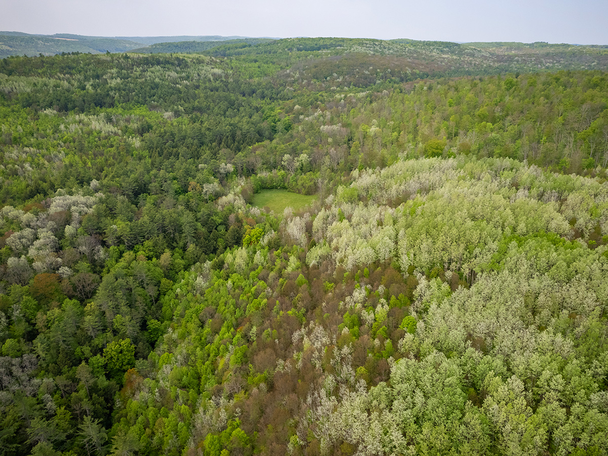
Bad Bear Hill: 992 Acres Protected!
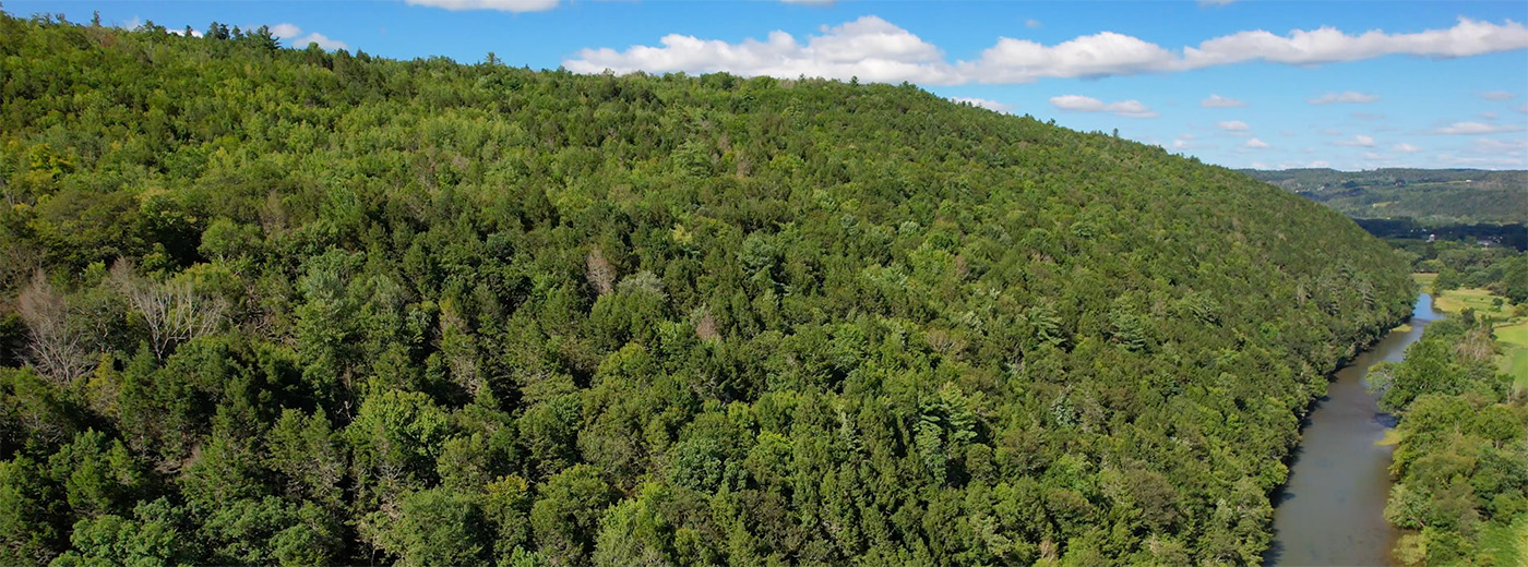
Bell Station Cedar View Addition
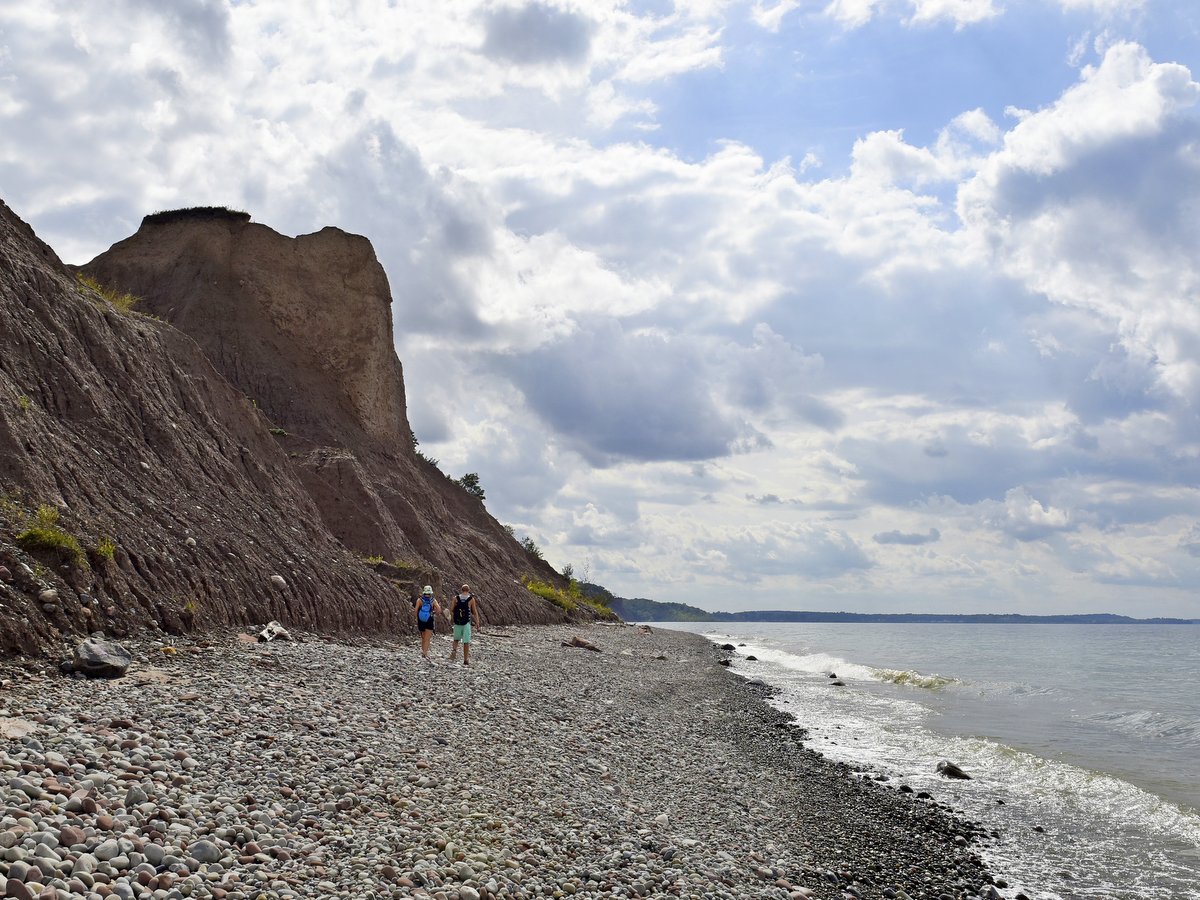
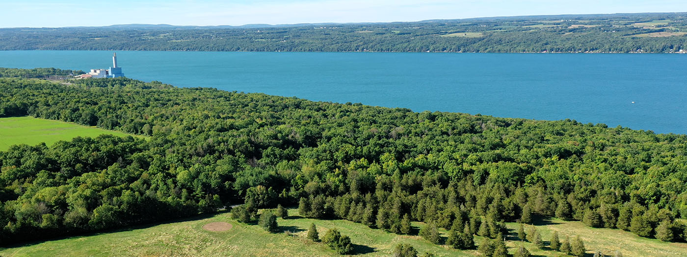
690 Acres Saved by Skaneateles Lake!
Cayuga Lake’s Bell Station Protected Forever!
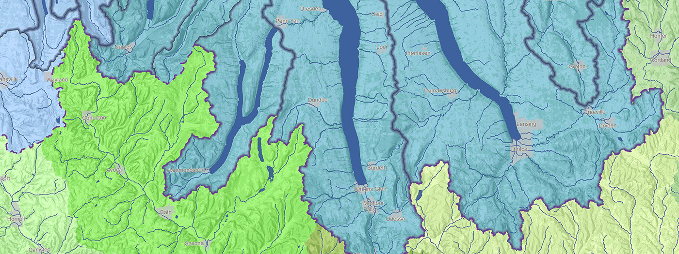
FLX Watershed Maps!
Protecting Water Quality in the FLX
Top 10 Conservation Strategies
Lakes & Streams
Recreation
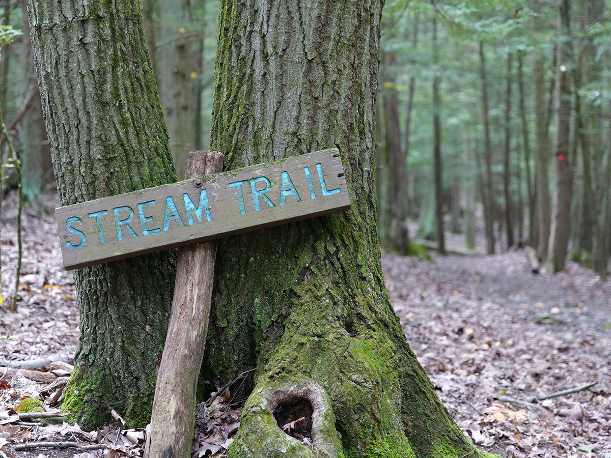
78 Miles on the Finger Lakes Trail
A Paddle to a Trail Between Two Finger Lakes
3 New Locations on Go Finger Lakes!
Your Inspiration to Get Outside in Early Spring
Go Finger Lakes Locations Without Hunting
Ithaca Outdoors: Highlights for Hiking, Biking, Birding, and More!
Syracuse Outdoors: Highlights for Hiking, Biking, and Exploring!
Rochester Outdoors: Highlights for Hiking, Biking, Paddling, Birding, and More!
Our Favorite Fall Hikes for Leaf Peeping
10 New Locations on Go Finger Lakes!
Share This