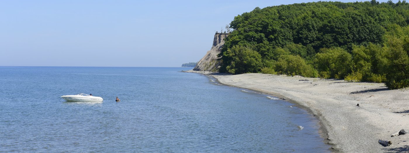
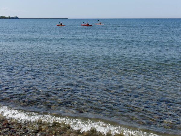
Like many New York State Parks, Fair Haven Beach is an ideal spot for families looking to sample a variety of activities rolled into one package. Hiking, camping, swimming, and paddling are all on the list, but of course, the main draw here is Lake Ontario and its ocean-like setting. Looking out on the vast Great Lake with sailboats shrinking along the seemingly endless horizon, it is easy to forget you are still in the Finger Lakes and not along the coast somewhere.
From Memorial Day through the first weekend in September, the primary activity here is the beach. Like many along the shores of Lake Ontario, the beach is a mixture of round gravel, pea-sized pebbles, and sand. The 1,500 feet of swimming beach is almost entirely sand and an obvious draw for beachgoers. The water’s depth drops quickly to knee height but then increases very slowly over a great distance. It’s ideal for children to splash around in, but adults will have to wade out quite a ways before attempting to submerge. There are two beach sections: the smaller western beach that includes 500 feet of guarded swimming area, and the larger eastern section. They are divided by Sterling Pond’s outlet but connected by an arched footbridge. Each has a restroom and washroom and the western section has a playground, pavilion, outdoor showers, concessions, and newly constructed boardwalks to help protect the sand dunes. More active than the eastern beach, the western section is adjacent to Sodus Bay and has tie-ups for large boats.
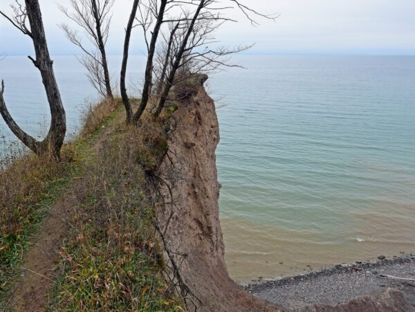
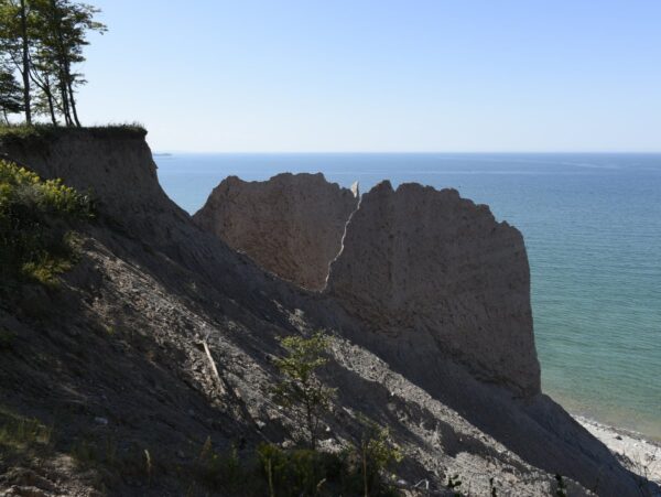
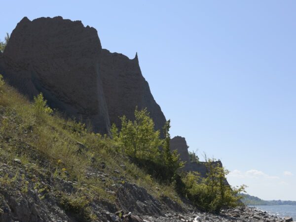
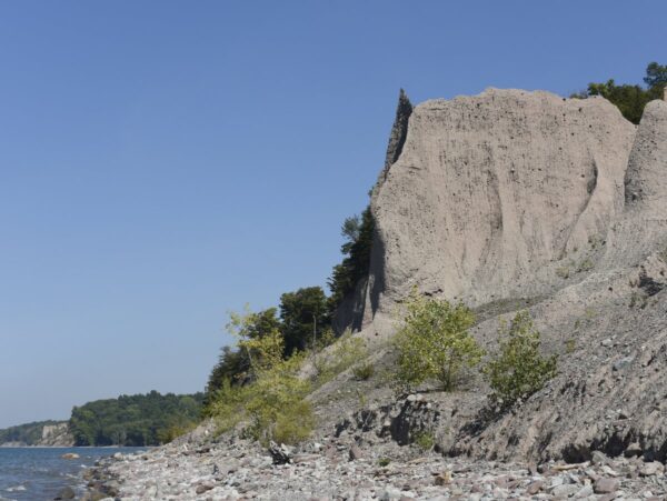
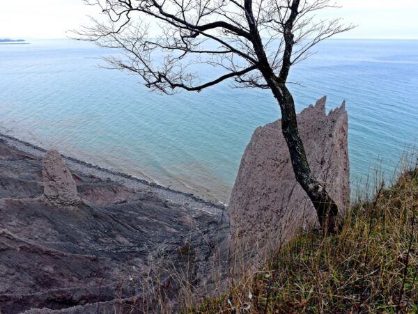
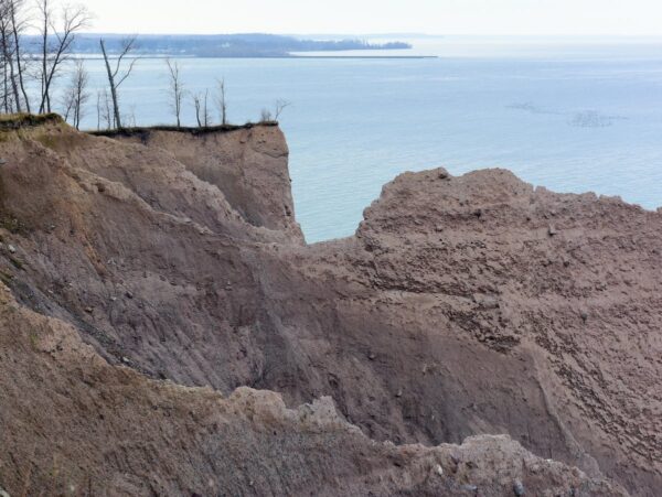
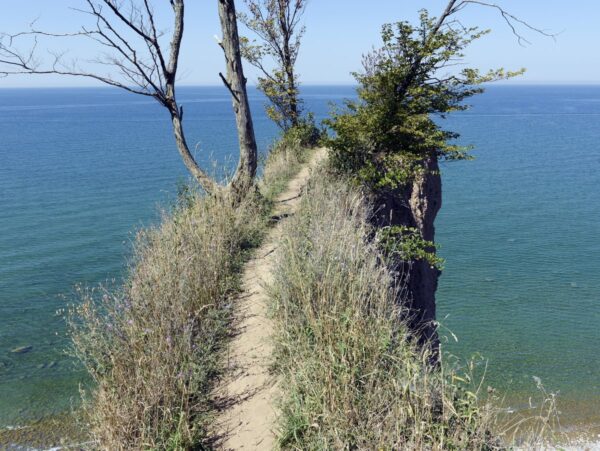
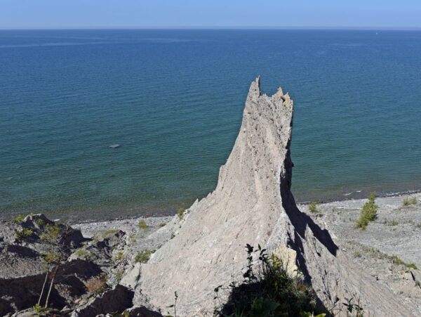
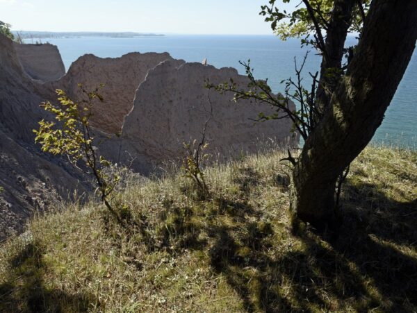
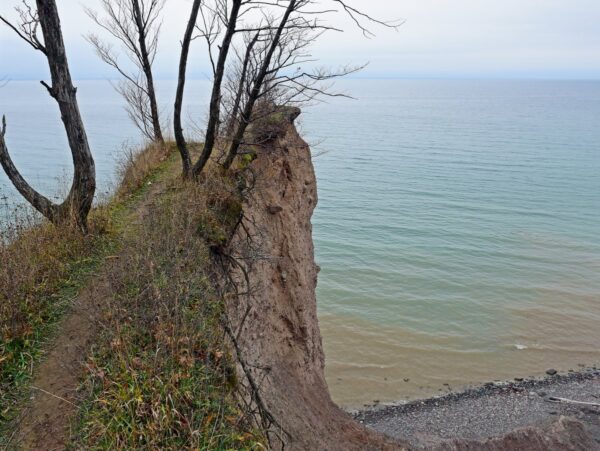
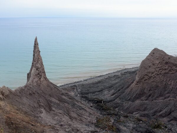
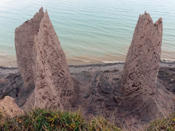
Throughout the park, there are picnic tables and grills, with other beachfront setups further east of the eastern beach. Beyond these shoreline picnic areas are the bluffs, drumlins whose northern edge has been washed away over the centuries by the relentless waves of Lake Ontario. For a more detailed description of this process see Chimney Bluffs State Park. The area between Syracuse and Rochester just south of Lake Ontario is actually a giant drumlin field; estimates are that over 10,000 drumlins are located in the region. A drumlin is a byproduct of giant glaciers that bulldozed and scoured the region nearly flat during the last Ice Age. The same powerful forces that produced the drumlin also produced the sand along the beaches and, practically speaking, the only source of sand for millennia. It is for this reason that the state has begun projects in the park to protect the dunes by trapping the sand on the beaches instead of allowing it to blow inland. If the dunes aren’t protected, the sand will eventually disappear.
One of the other great features at Fair Haven Beach State Park is Sterling Pond. Like many of the inlets, bays, and ponds that stem from Lake Ontario, “The Pond” is ideal habitat for fish and waterfowl. Protected by sand dunes from the Great Lake’s wind and waves, the pond’s waters are mostly placid and an idyllic site for anglers, paddlers, and birders. And if you don’t have a canoe or kayak, or just don’t want the hassle of lugging one there, canoes and kayaks are available for rent just across the road from the eastern swimming area.
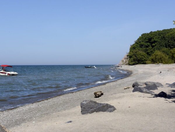
There are hiking trails, the most notable of which is the 1.5-mile out-and-back Lake Shore Trail. It leads to a secluded rocky beach that is drastically less frequented by the rest of the park-goers. Given that the rocky beach is picturesque and serene, one might wonder why. One reason is that it’s relatively hard to find. Its signage, though present, does not advertise itself to the timid outdoorsman. But really, the answer is insects—lots and lots of mosquitos and deer flies. If you are brave enough, proceed at a brisk pace, have ample bug spray, and if there is a strong wind, the trip will be worth it. The reason for the horde of bloodsuckers is that the trail and beach both neighbor Sterling Marsh. The wooded trail provides enough cover from the lake’s breeze so that the insects have free reign. Out on the beach, the ocean-like breezes help keep the insects at bay. The first part of the trail is roughly a half mile along an access road that comes to an end near a slight rise before the lake. The sounds of the lake lapping on the shore practically beg you to scramble up the short rise where you will be rewarded with breathtaking views of Lake Ontario. The beach in this section of the park is more pebble and gravel but there is roughly a third of a mile here to explore. It is a very narrow band of shoreline between the lake and the marsh, so stay close to the lake, lest you advertise that you are back on the menu for the voracious insects.
Another major outdoor activity here is camping. There are 222 sites including cabins, tent-only, and trailer sites, with many booked for the summer well in advance. In effect, there is a sort of built-in beachgoer residency at the park. Sundays are typically departure days, so those mornings the park will have fewer people, but crowds steadily increase as day visitors arrive. Weekdays are also a good bet, especially in weeks that don’t include a holiday.

