Share This Location


Sprawling westward from Syracuse, reaching Rochester and beyond, is a broad contiguous lowland. The glaciers scoured this area clean, but as the great ice sheets receded they stalled, and “super” versions of present-day Lake Ontario and Lake Erie were trapped between the northern ice sheet and the southern Allegheny Plateau. Hence, this region is characteristic of a lake bottom; flat and mostly featureless.
Now, if someone told you about a 3,500-acre island in the center of this lowland, it would sound awfully familiar to the “swampland” real estate scams of Florida in the 1960s and 70s. But the island does indeed exist, thanks to another highly transformative power in the Finger Lakes region: the canal construction boom of the nineteenth century.
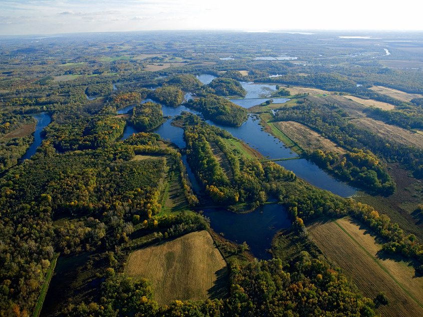
The broad Seneca River aligns nearly perfectly west to east for much of its course. As such, its incorporation into the Erie Canal System was inevitable. To bypass one sweeping section of the river, a more direct canal was constructed. The result is the virtually landlocked Howland Island. The island makes up more than forty-five percent of the 7,700-acre Northern Montezuma Wildlife Management Area (NMWMA), which in turn is part of the Montezuma Wetland Complex (MWC) that also includes the Montezuma National Wildlife Refuge, the Montezuma Audubon Center, Nature Conservancy lands, and a few other smaller parcels of protected land.
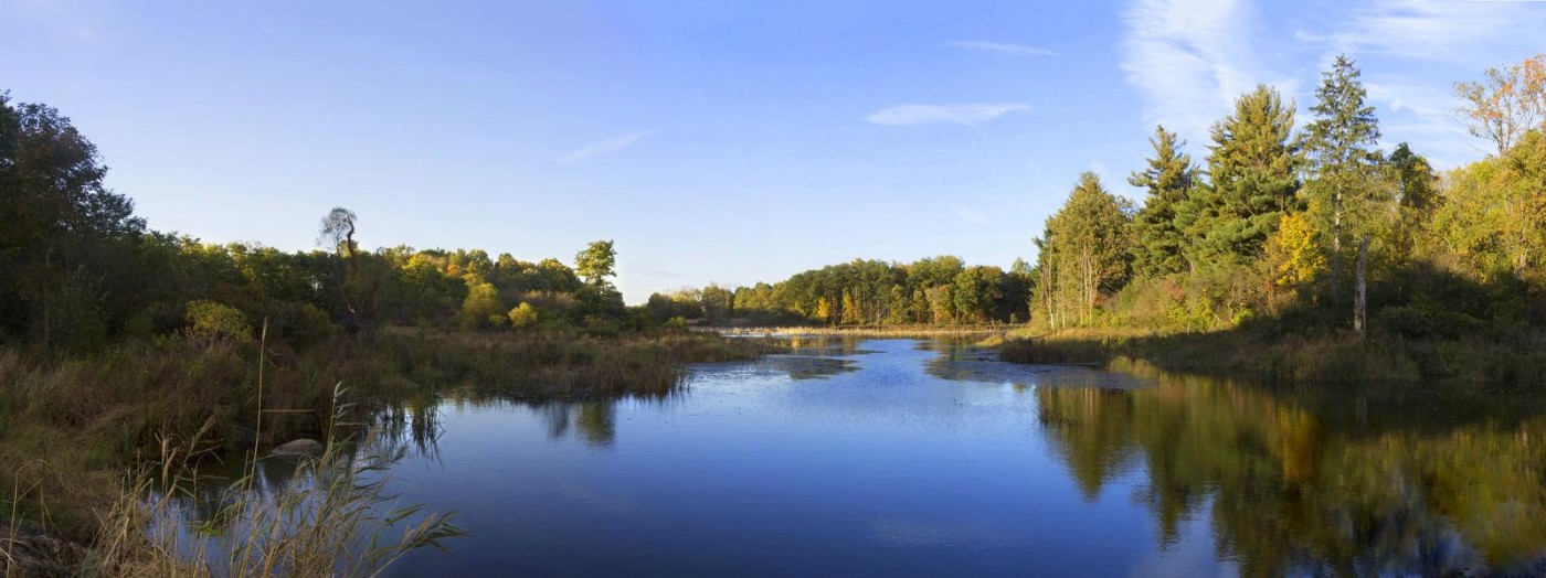
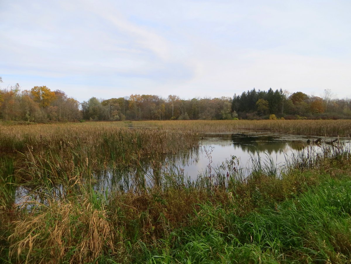
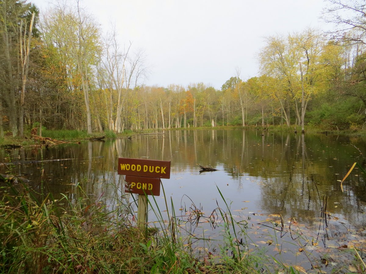
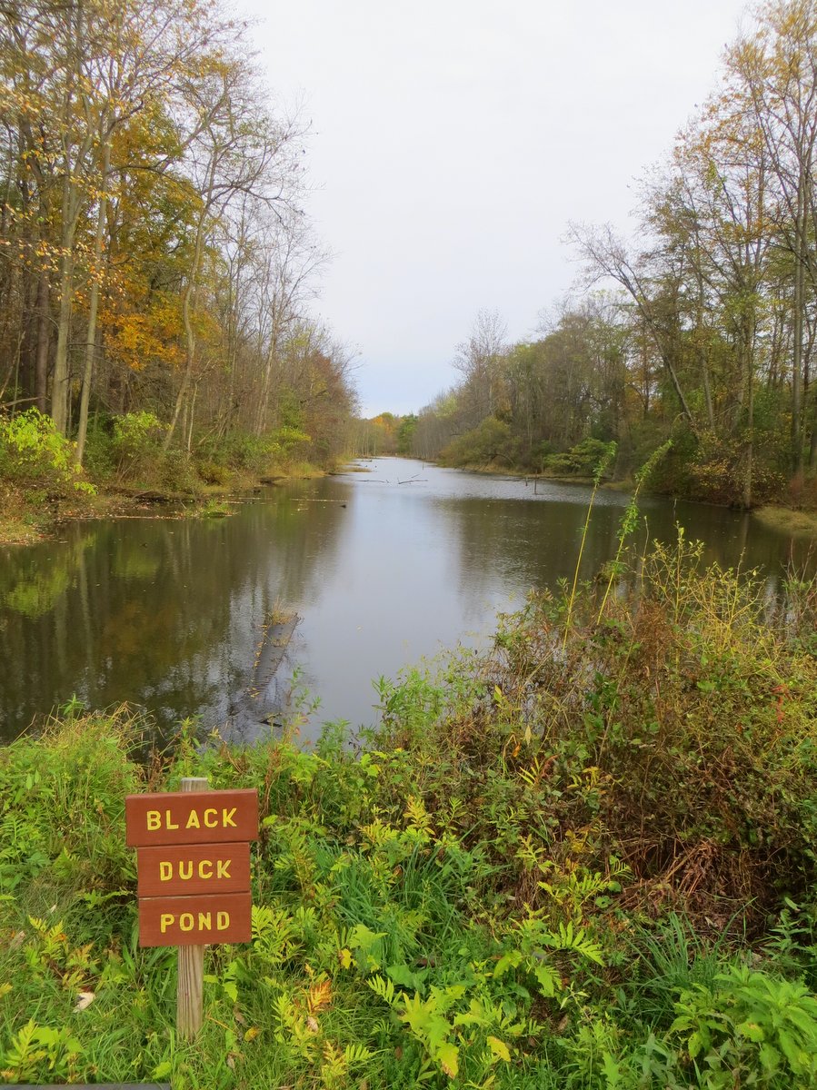
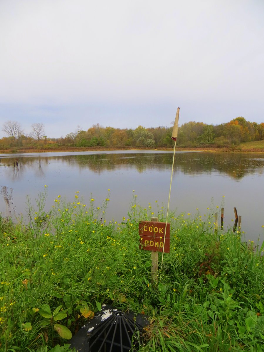
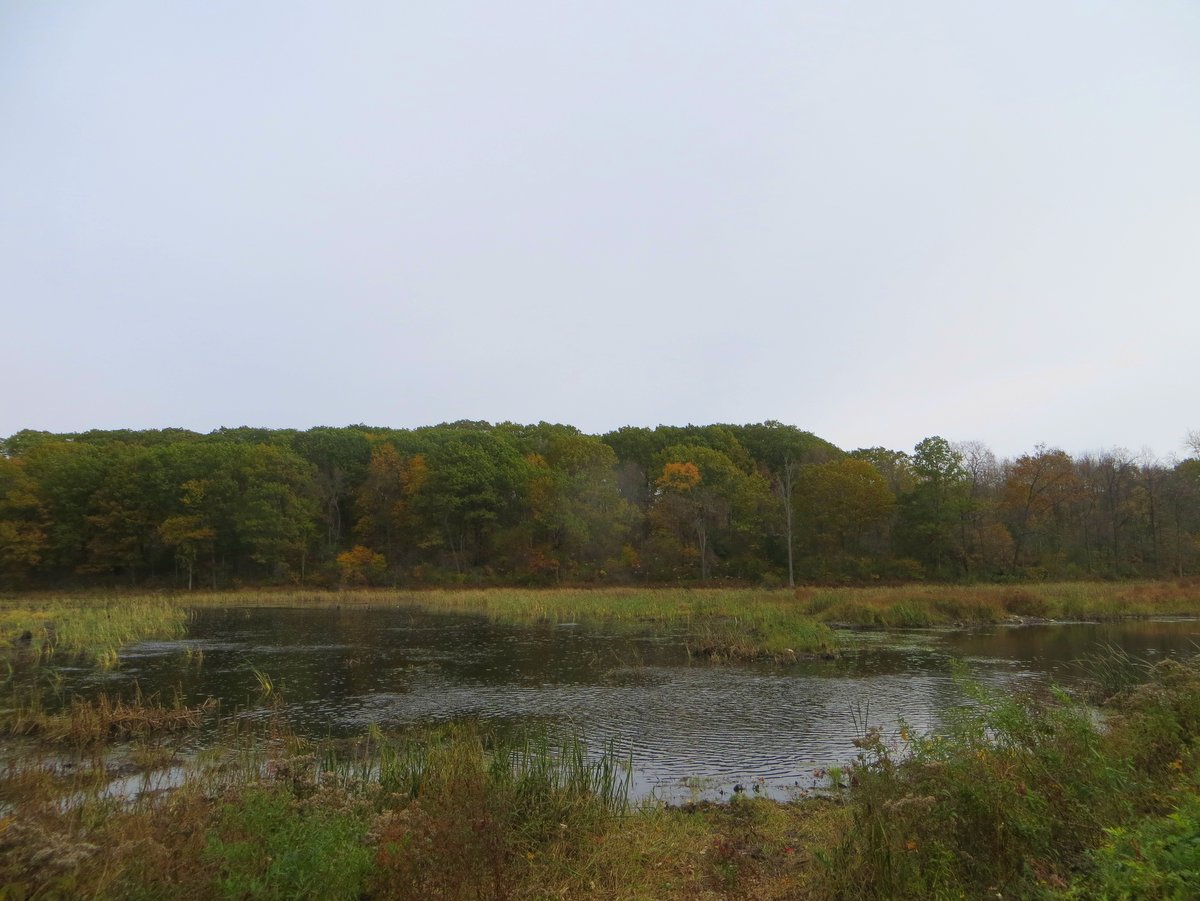
The trail system in the NMWMA is almost entirely on Howland Island and consists of interconnected gravel access roads. The roads follow or encircle many of the man-made ponds and lie mostly in the open. The trails do occasionally delve into the sporadic woodlands that line some of the ponds’ shores, but generally, that is the exception rather than the rule. It’s a pleasant change from the heavily wooded trails found elsewhere in the region, but adventurers should plan for full exposure for not only sunny but windy days as well.
The network has over seventeen miles of trails and multiple combinations can be used to shorten or lengthen treks along interconnected loops. Whether by foot, bike, or skis, visitors are sure to see an abundance of wildlife year-round, but periods of peak migration will bring immense flocks of migratory birds. Similar to the nearby wildlife refuge, birding is excellent, but the island offers more chances to get up close for that perfect photo. Visitors should be aware hunting is allowed in the wildlife management area and it is a popular activity in late fall, so planning a trip to this gem in the off-hunting season might be prudent.
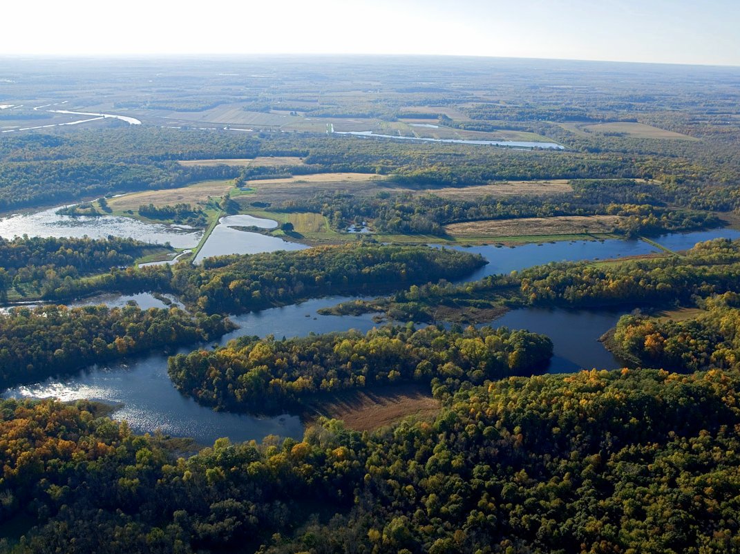
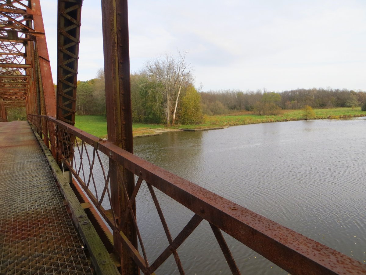
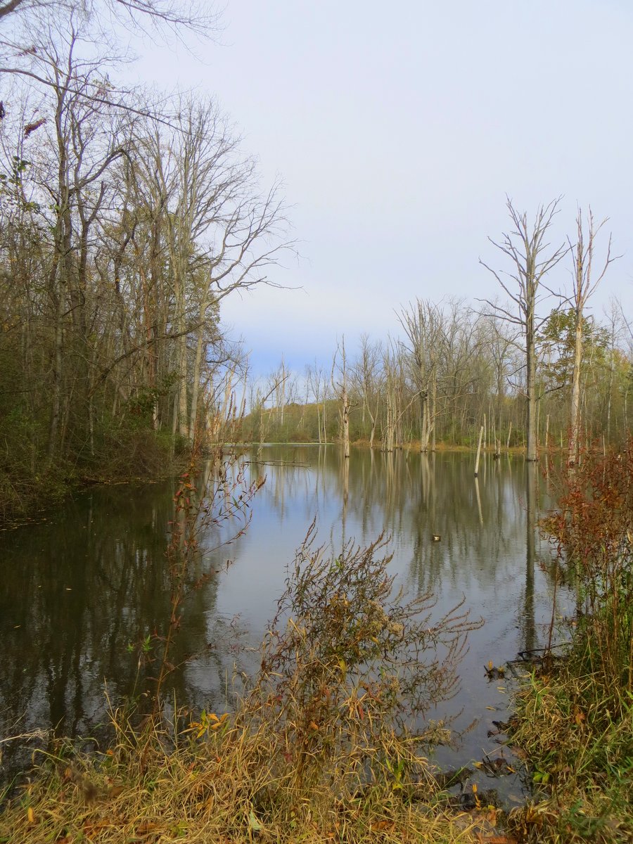
Exploring the whole island along the various routes will likely mean multiple visits, but even that won’t give the full experience. Paddlers will enjoy both the river and canal with the added benefit that this is a “round” river trip. This type of configuration means you can paddle the river and canal and end up right where you started without retracing your course. As expected, these experiences are very rare and make planning a trip easy; there is no need to plan a shuttle or make other arrangements to get back and forth. The entire circuit would be 9-10.6 miles and this includes the Seneca River, the Swift Water Channel, and the Erie Canal.
Longer trips can be created by navigating further along the Seneca River and looping back along the Erie Canal further to the southwest. While larger powered boats will be encountered along the canal these large boats tend to avoid the river due to thick weeds and other obstructions. The Montezuma Audubon Center, the informational hub for the Wetland Complex, offers regular, naturalist-guided, paddling trips to further enhance the experience.
Note: paddling at Howland Island should be undertaken in late spring or early summer as the growth of aquatic vegetation makes the trip difficult later in the year.