Share This Location


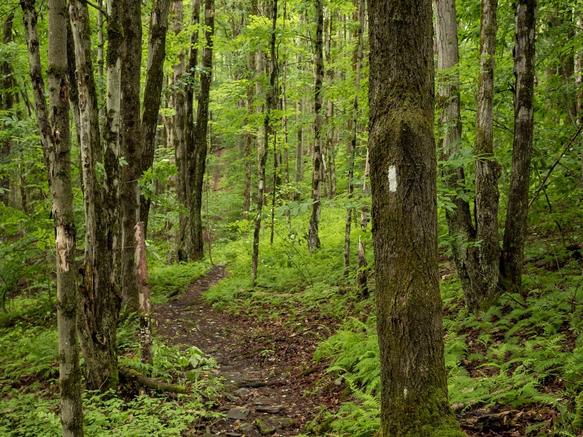
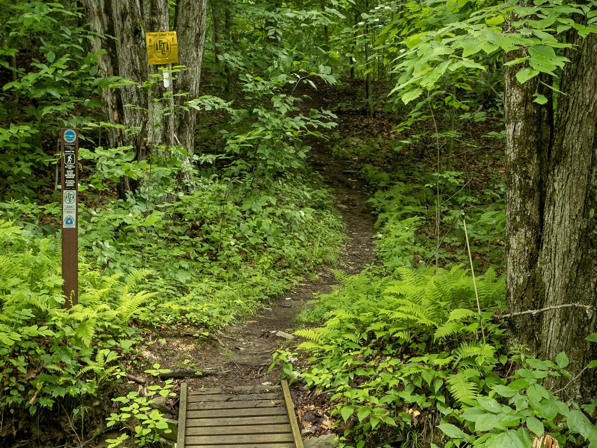
For hikers who hate to retrace their steps, you can’t go wrong in choosing from the many loop hikes at James Kennedy State Forest. The 4,507-acre forest is a packed collection of named trails, including short, one-mile family-friendly loops; short half-day loops; and, figure-eights or more convoluted patterns to hike all day or overnight. Trails are well marked, but with so many loops and options, it is advisable to buy the multipage set of maps dedicated to the area from the Finger Lakes Trail Conference.
The named loop hikes, from longest to shortest, are Figure 8, International, Virgil Mountain, Dabes Diversion, Spanish, Swedish, Lithuanian, English, and Irish Loops. Much of the trail system is a combination of single track footpaths and shaded forest roads. The white emblazoned main Finger Lakes Trail (FLT) runs along an east-west axis with the loop trails breaking off from it to both the north and south.
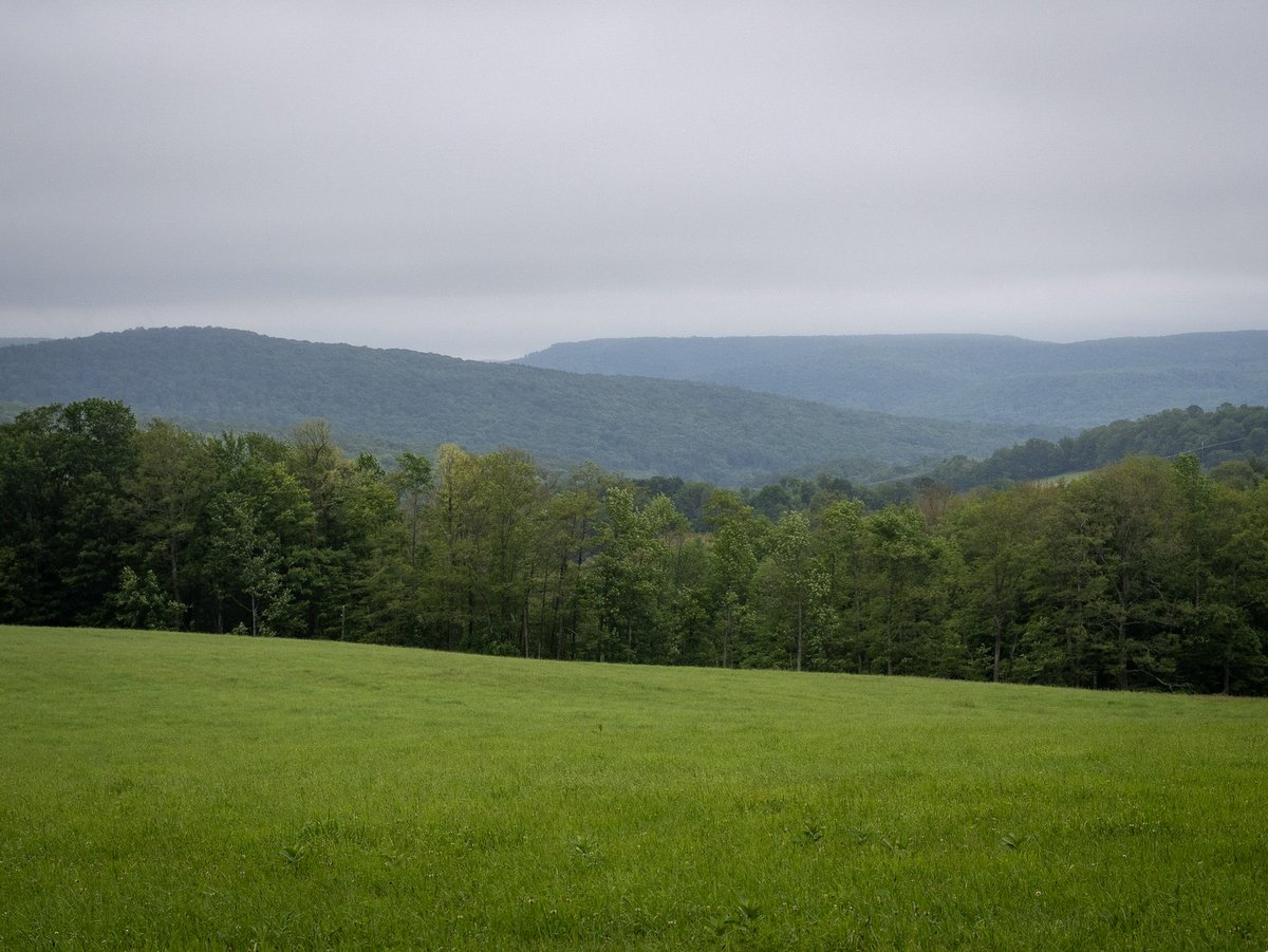
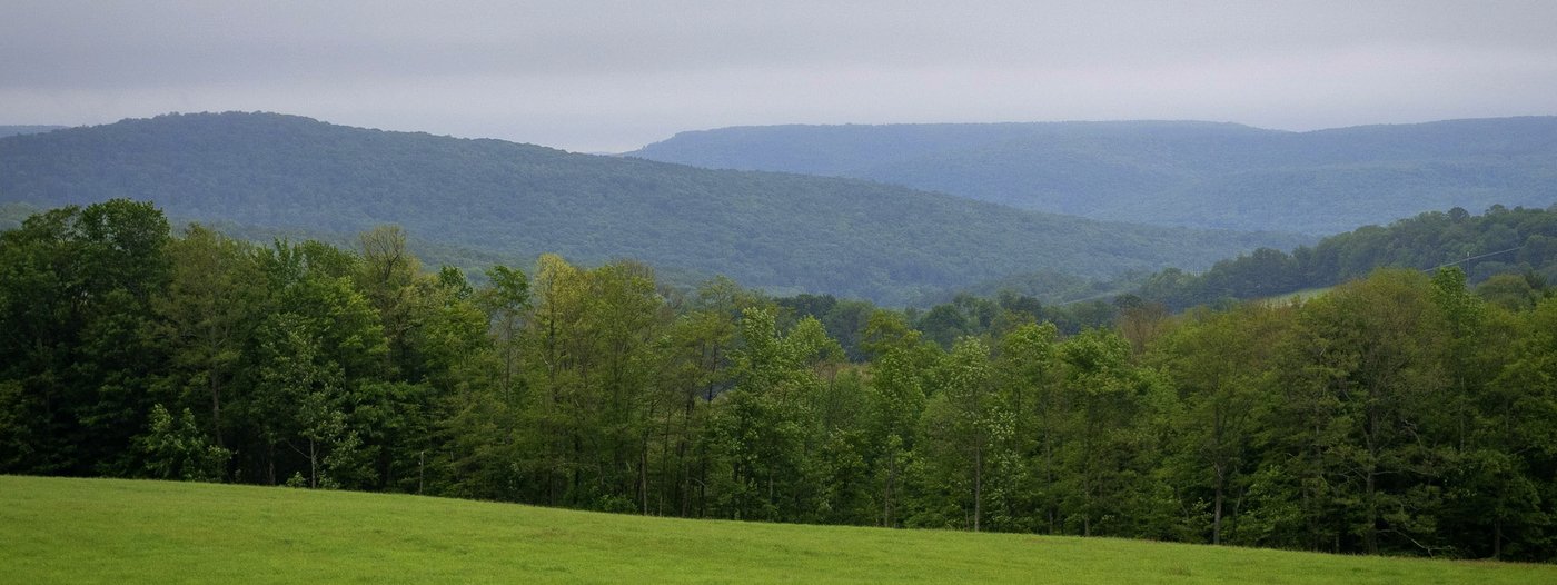
The Virgil Mountain Loop is one of the more popular hikes in James Kennedy State Forest, but its name is slightly deceptive since there are no mountains in the Finger Lakes region. The rounded, over-steepened forested hilltops that dot the landscape are not a result of a mountain building event (such as tectonic plates colliding as seen in the Catskills or a rising bubble in the Earth’s crust like in the Adirondacks). Rather the Finger Lakes landscape is a plateau of an ancient sea bed that has been gouged out and sculpted by glaciers. In fact, one of Virgil Mountain’s nicer features, a vista, tells exactly this story and why the name is a misnomer. Looking eastward from near the “mountain top” a landscape of densely forested hills of nearly equal elevation and U-shaped valleys without major rivers is revealed. These features are all evidence of a landscape gouged out and not one that was thrust upward. Virgil Mountain’s vista is courtesy of power lines that cut a wide swath through the otherwise dense forest canopy that would block the view.
A southern facing vista (and arguably more pristine view) is found along the Dabes Diversion Loop at its southern connection with the main Finger Lakes Trail. The view looks across a neighboring field of a privately owned farm, so be sure to remain within the forest boundaries while enjoying the pastoral scene. The two vistas can be enjoyed within the same excursion on the Figure 8 trail – a combination of the Virgil Mountain Loop and Dabes Diversion Loop.
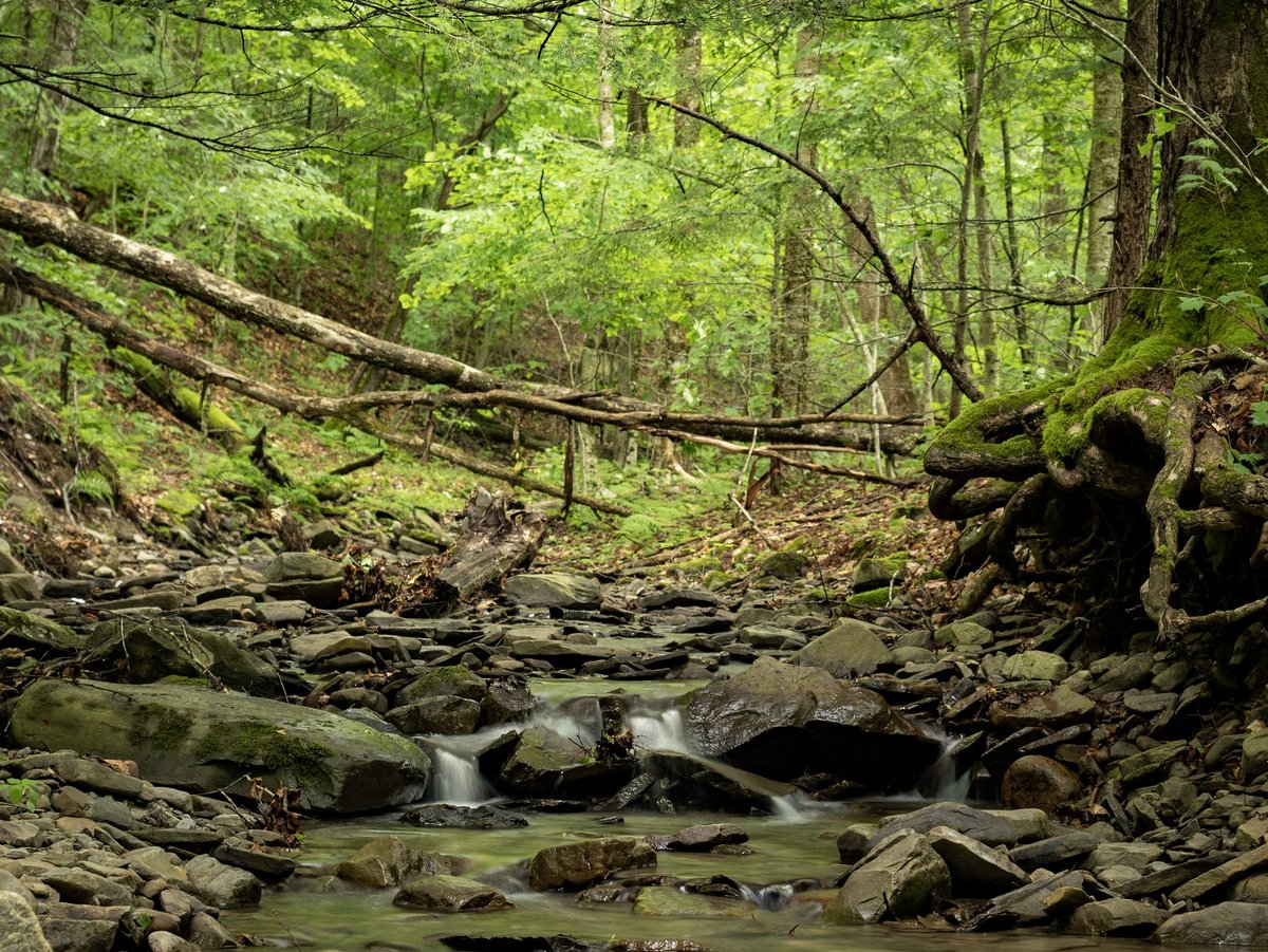
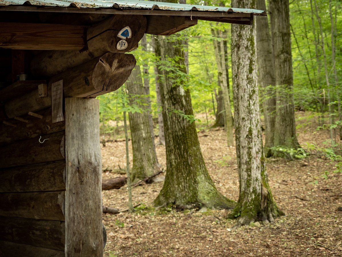
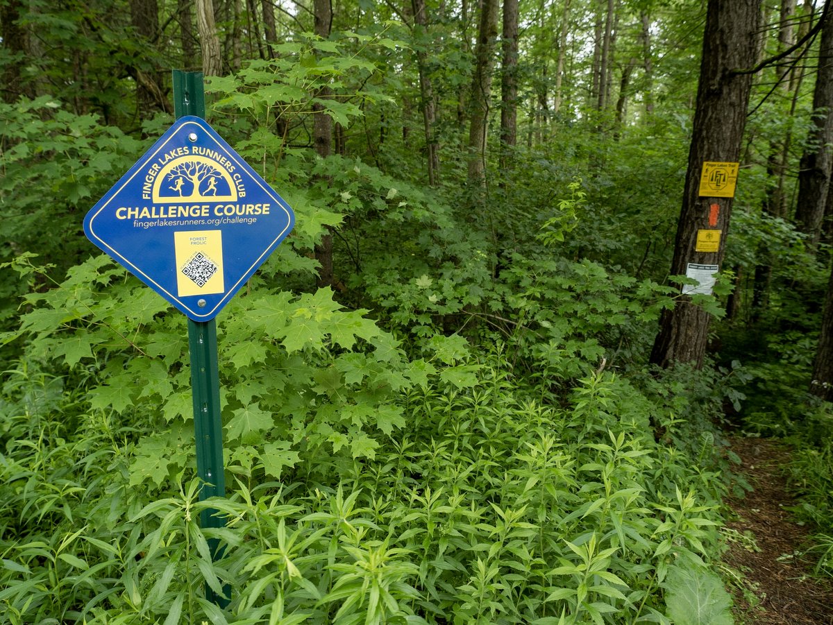
Hiking is not the only activity here. There are also three annual competitive running events; a passport hike mailbox located in the middle of Dabes Diversion to Kuzia cutoff trail for achievement hunters; and, four miles of dedicated cross-country skiing trails. Cross-country skiing and snowshoeing are also allowed on hiking trails, but trails dedicated for the experience are typically better suited for skiers. And like any state forest, primitive camping is allowed in the forest, but there are also the Foxfire lean-to and designated camping areas along the Finger Lakes Trail for extended stays.