Share This Location


In some ways, a trip to Sugar Hill State Forest is a bit like a trip to the Old West. No, there are no deserts or arid plains or shootouts, but there are horses and horse camps and horse stables and horse hitching posts and horse… well, you get the point. Much of the infrastructure throughout the vast 9,240-acre state forest focuses around making equestrians’ lives easier, but also note that the multiuse trails are usable by all.
In the end, because horses are more likely here than along other trails, hikers and/or bikers are going to have to brush up on their right-of-way knowledge. Bikers yield to hikers and both yield to equestrians. For the safety of you and the horse’s rider, it is essential that you announce your presence from a distance (a friendly hello is always nice), step off the trail on the downhill side, and remain still. Allow the horse and rider to move past before continuing. And of course, if you bring along your four-legged friend, remember keeping them on a leash and under control is essential for the safety and enjoyment of all.
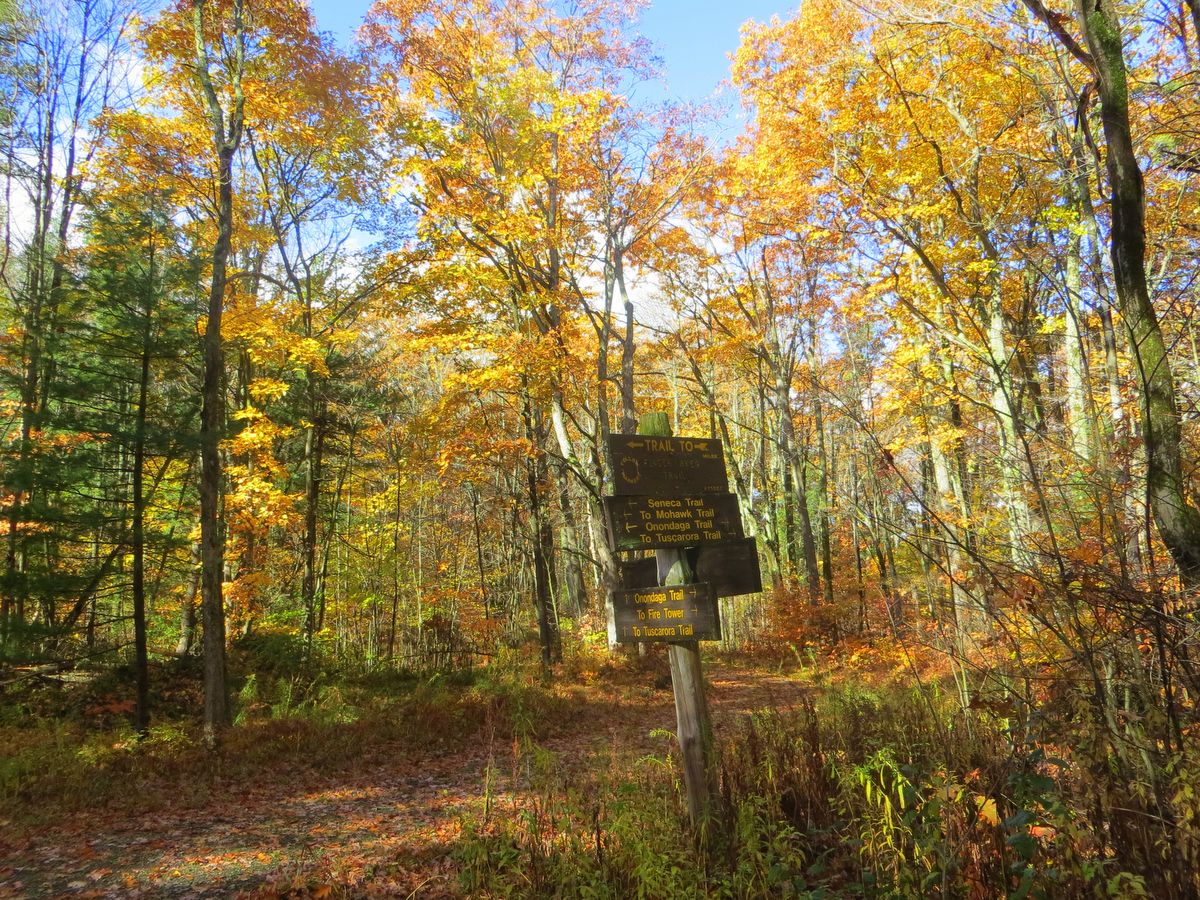
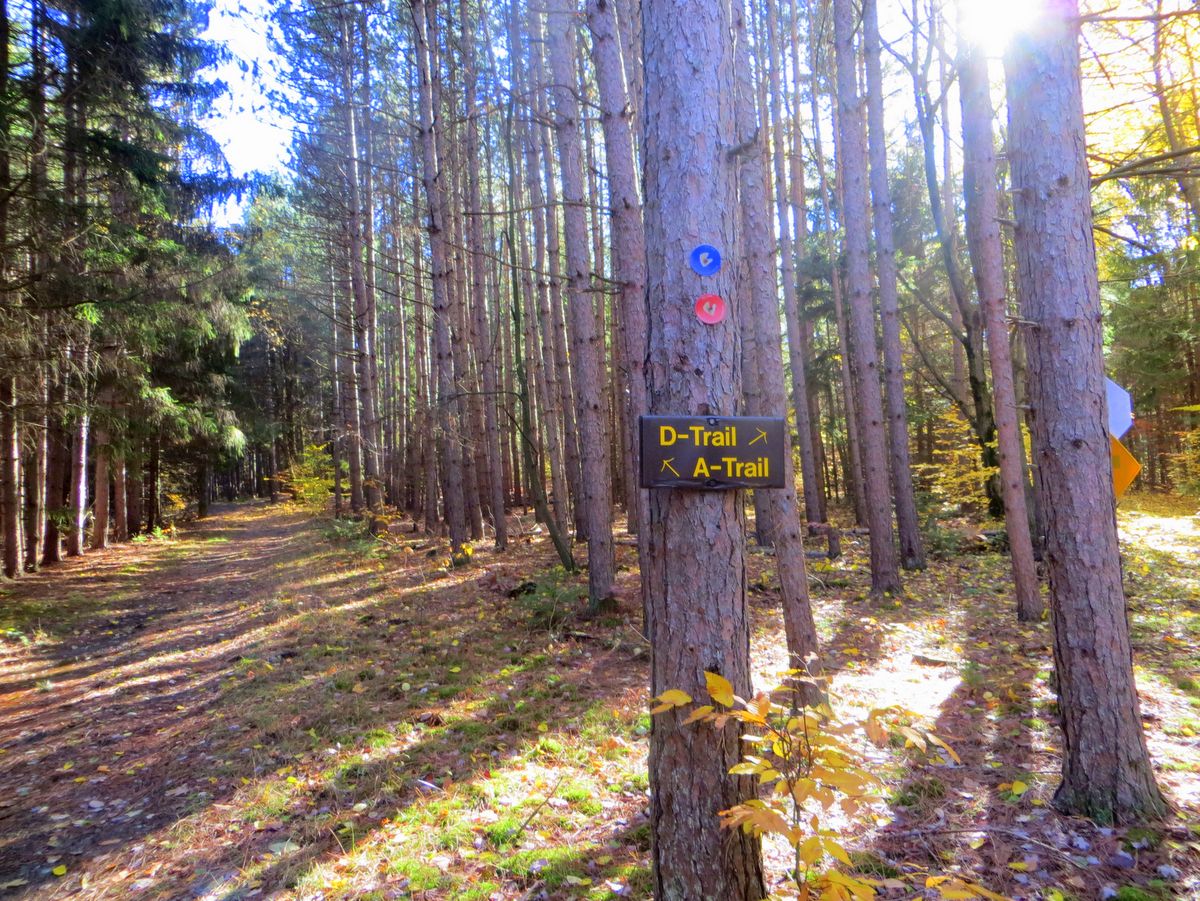
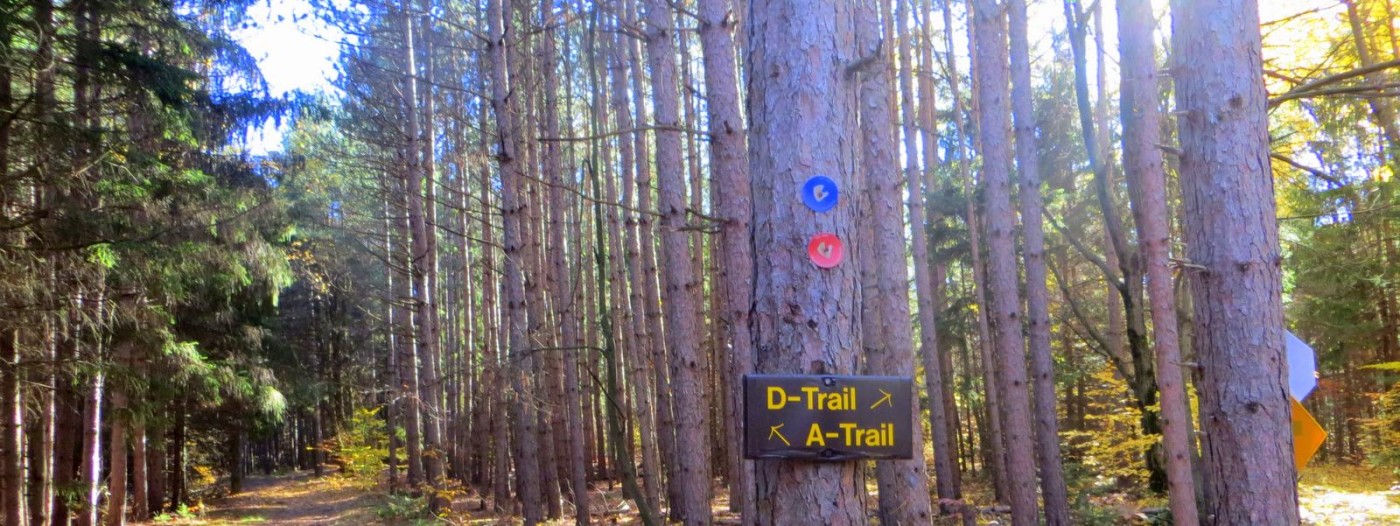
Trails here are part of the Six Nations Trail System, a network of roughly forty miles of trails that covers this and ten other nearby state forests. The vast majority of these trails reside within Sugar Hill State Forest. Be aware that navigating the disparate loops and spurs sometimes requires a bit of rustic road travel either on the edge of the forest or briefly outside as well.
These connective routes are not always clearly marked so a good map is prudent, the best of which is available within the Six Nations brochure. Several parts of the trail network follow utility access lanes where swaths of land are cleared and though the exact path along them varies, there are sporadic markers to indicate that indeed, you are following the correct lane.
Because horses are more likely here than along other trails, hikers and/or bikers are going to have to brush up on their right-of-way knowledge.
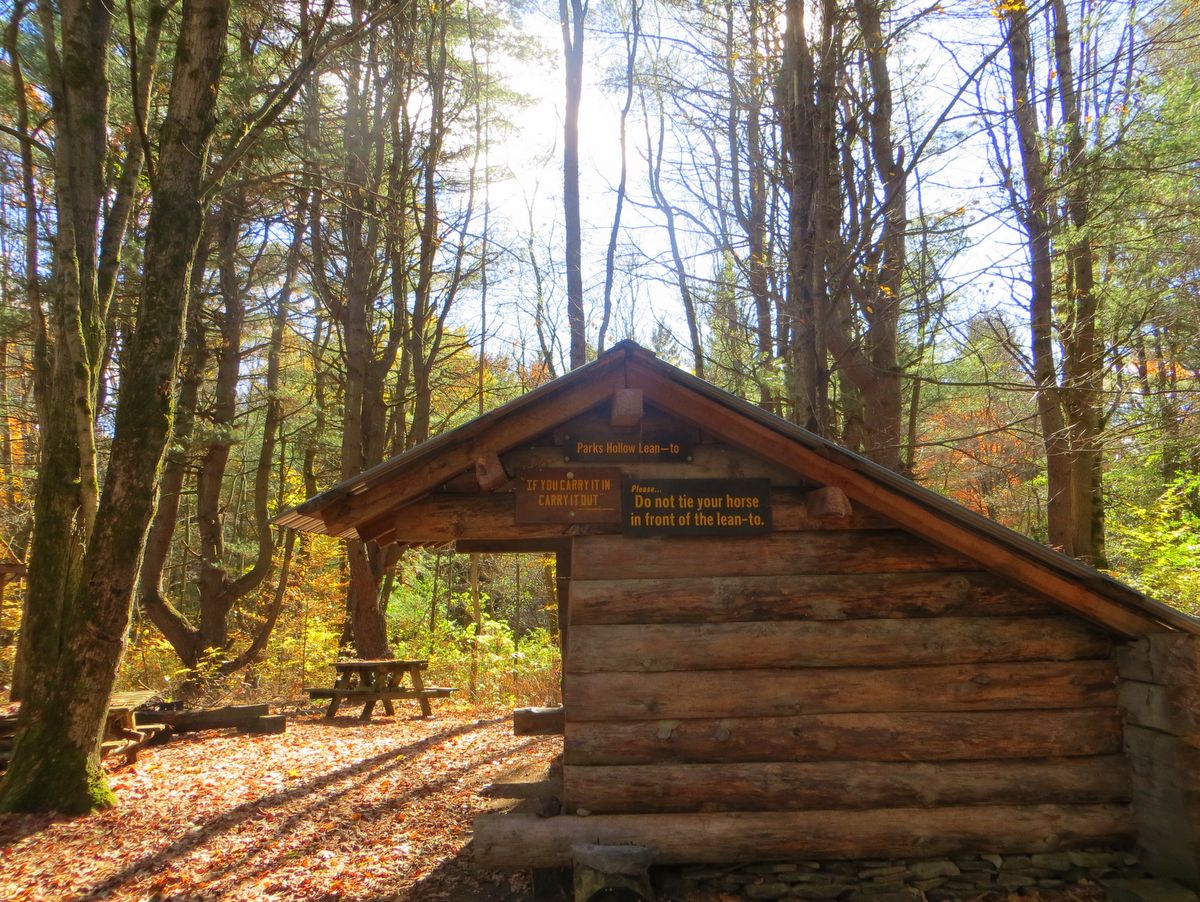
Throughout the vast forest, adventurers can camp at-large following the New York State Department of Environmental Conservation’s backcountry guidelines. There are also established campgrounds at the Sugar Hill Recreation Area, the Lower Evergreen parking lot, and fifteen other designated areas. Additionally, there are five lean-tos found mostly along or near the Finger Lakes Trail.
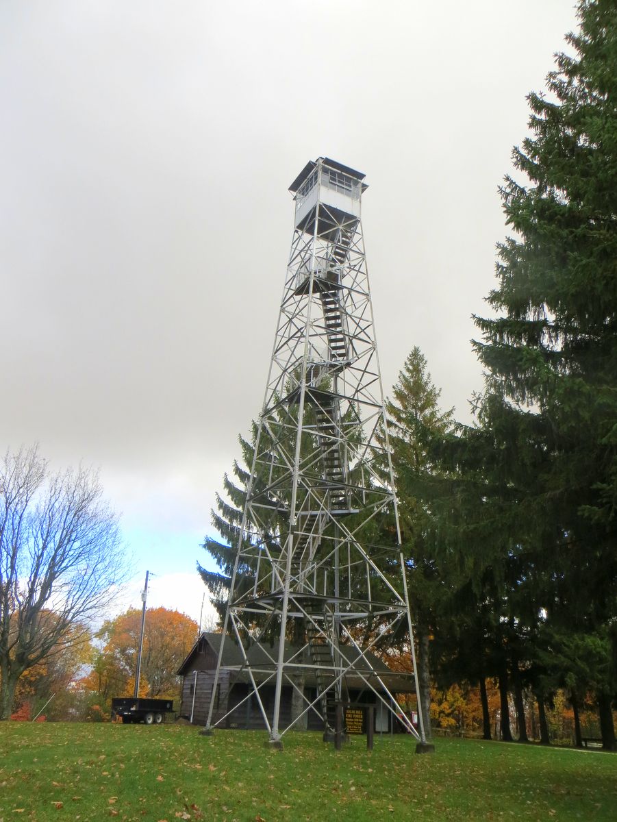
Also of note, because of the structure of the trail network, Sugar Hill State Forest has one of the more extensive Motorized Access Programs for People with Disabilities. Unlike some accessible systems that tend to remain close to civilization’s edge, the accessible sections here allow for very far-removed and wild experiences.