Photo: Joan Lentini

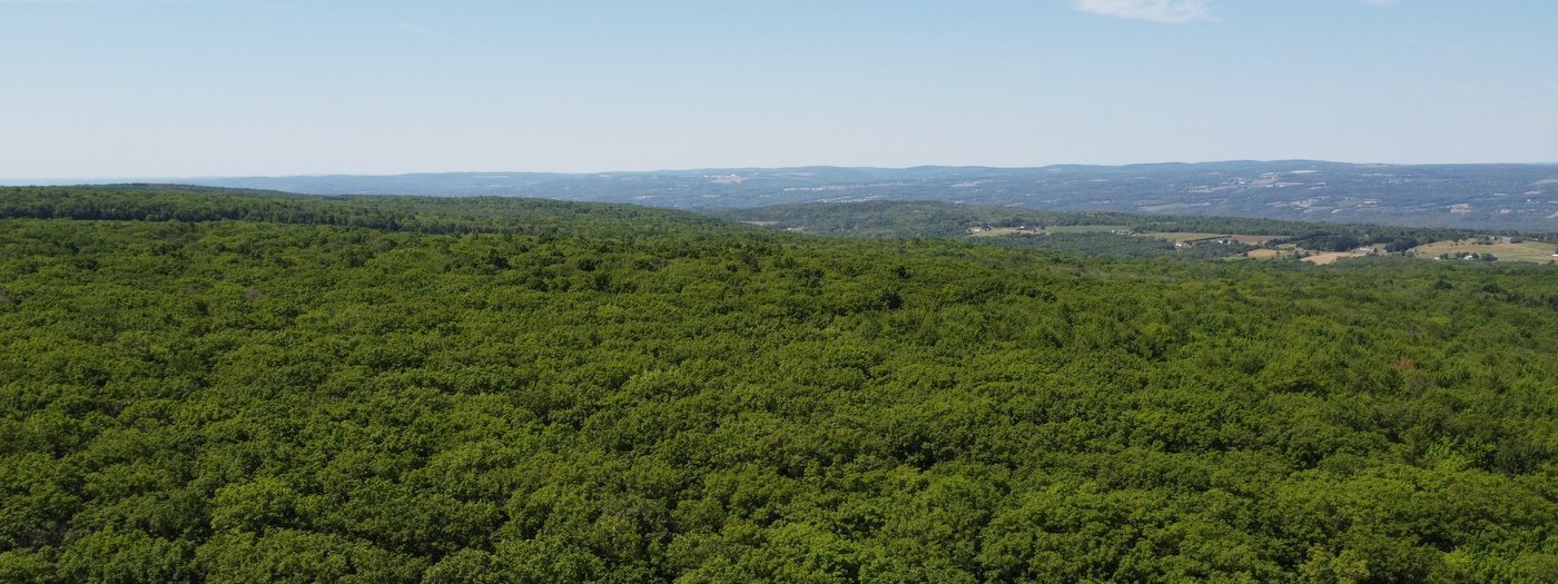
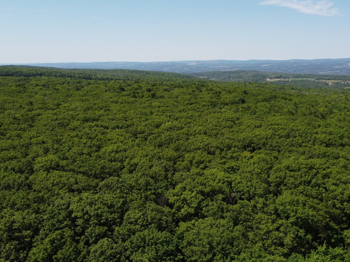
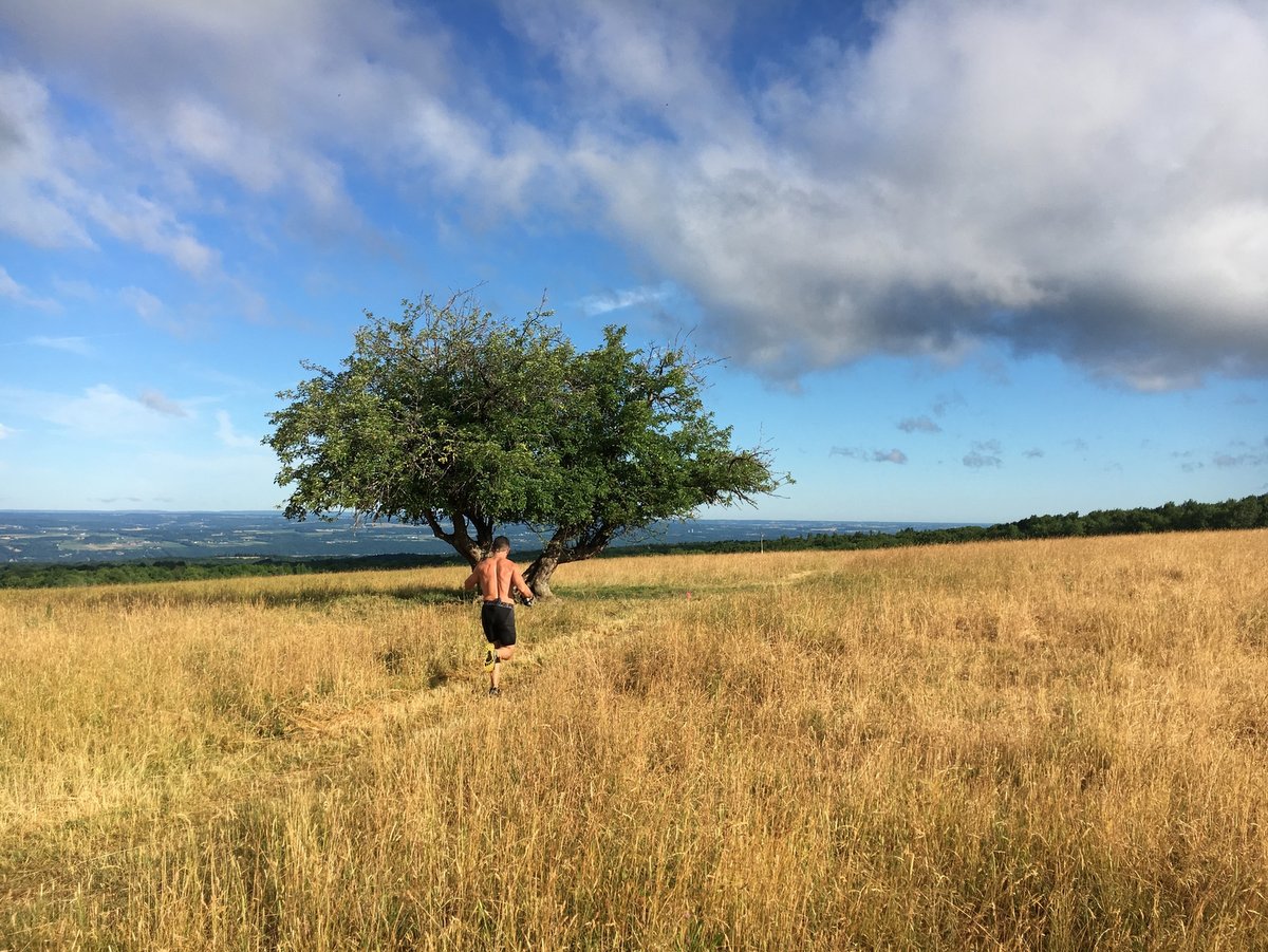
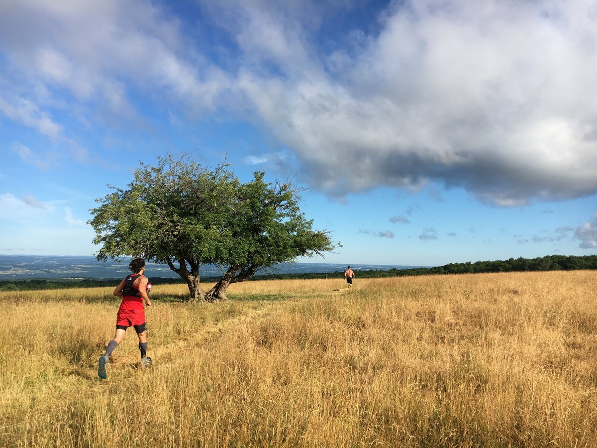
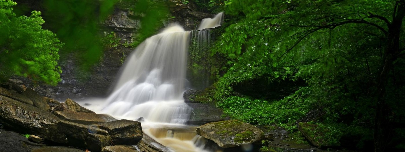
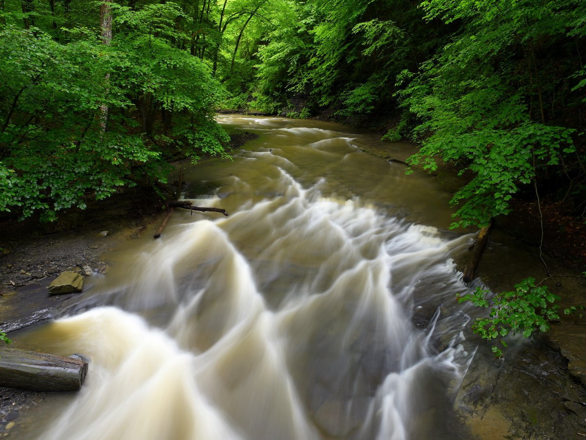
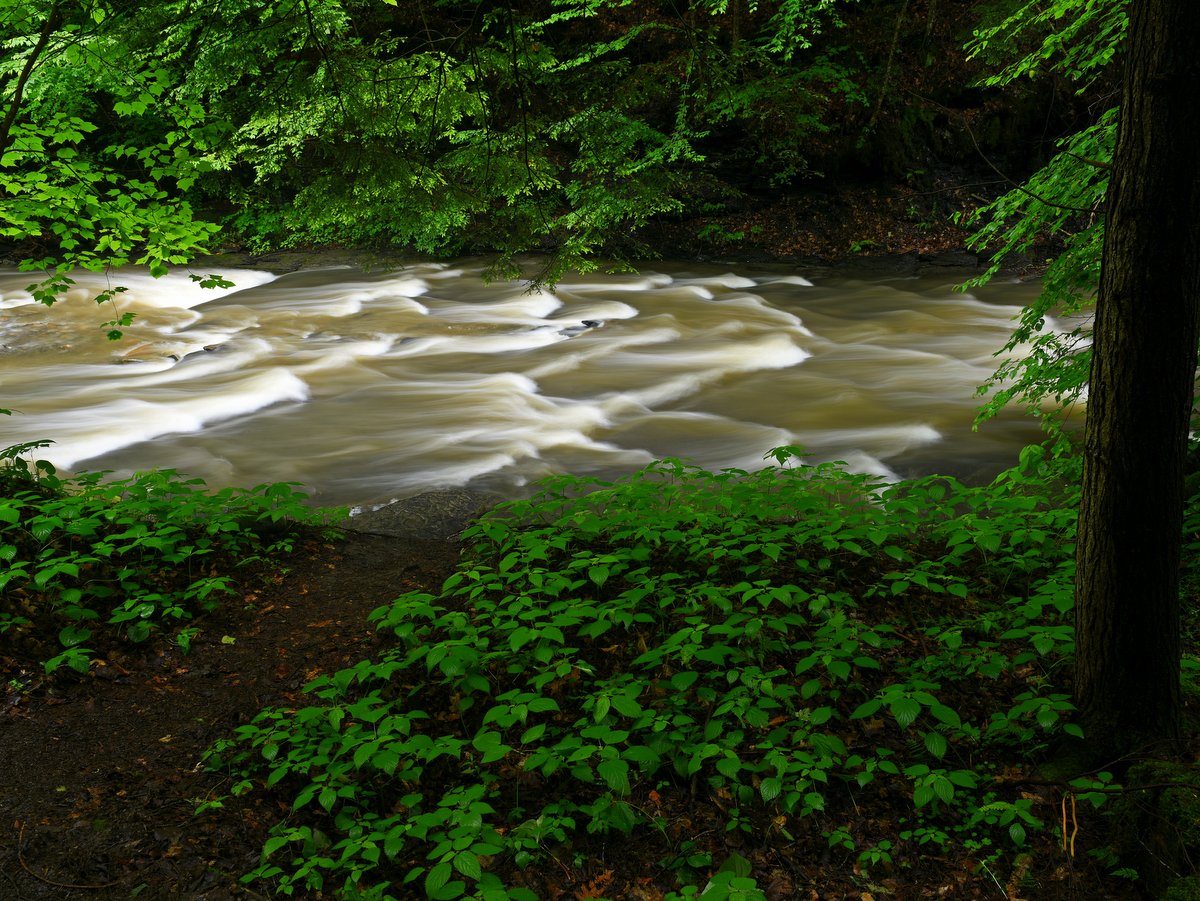
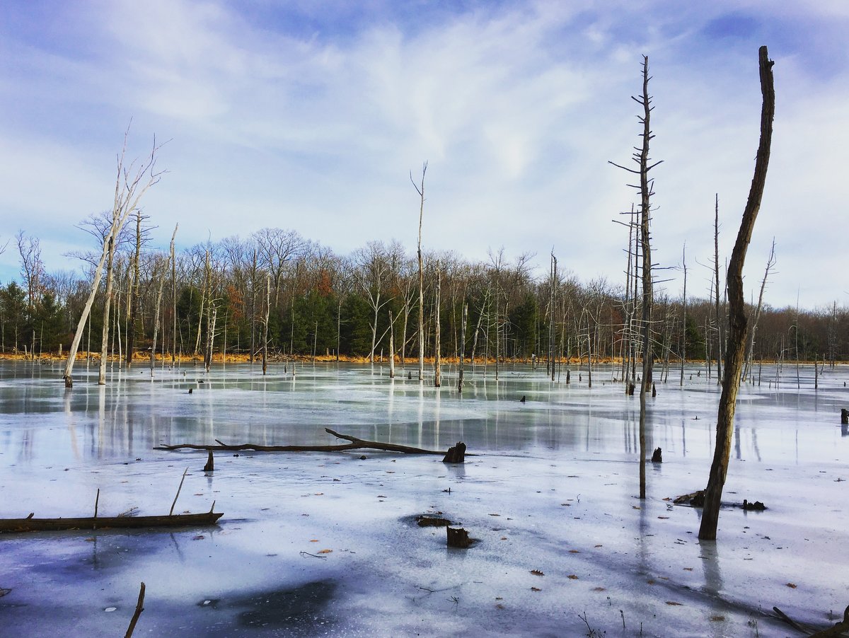
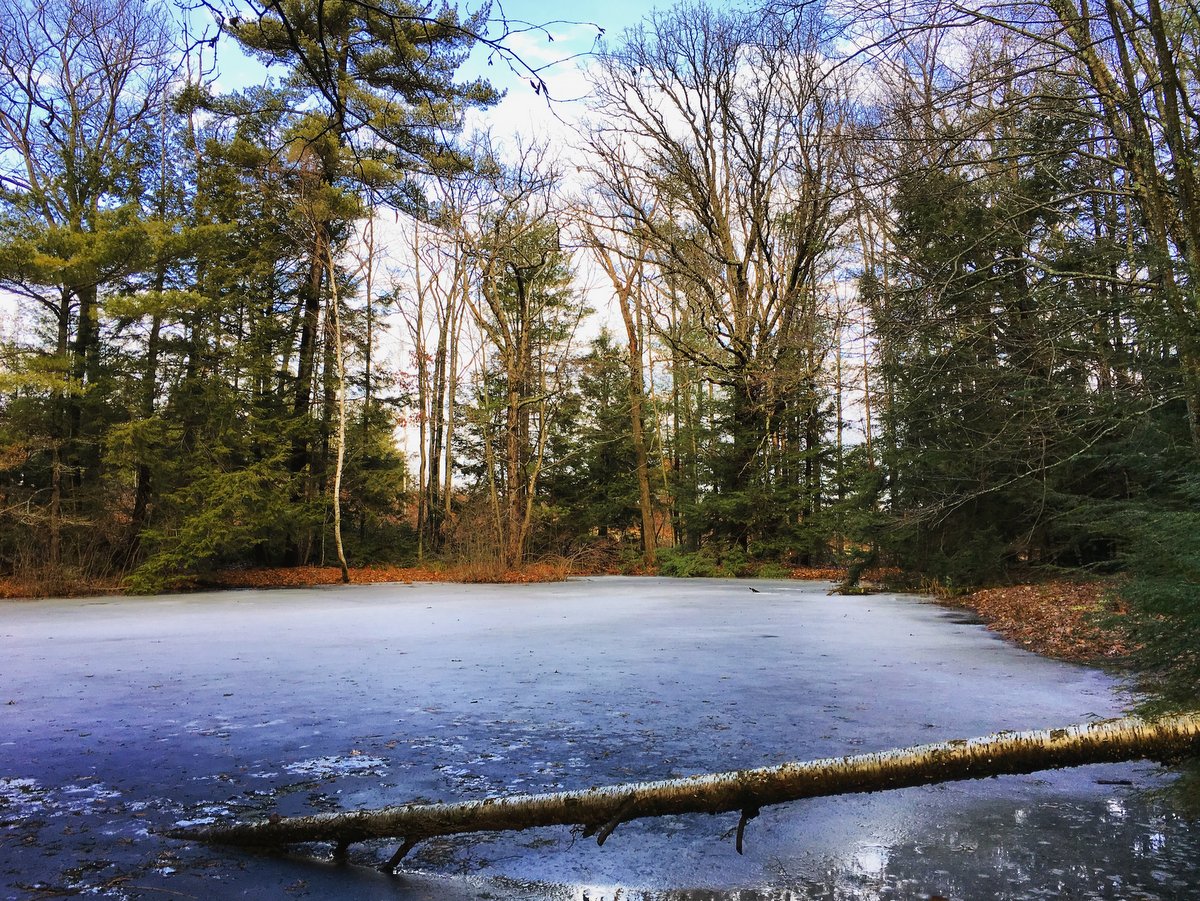
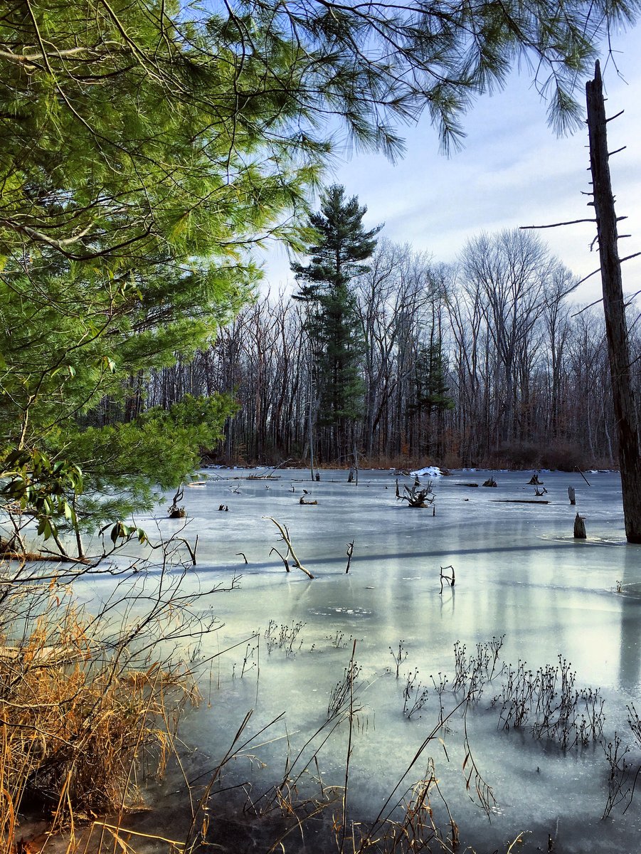
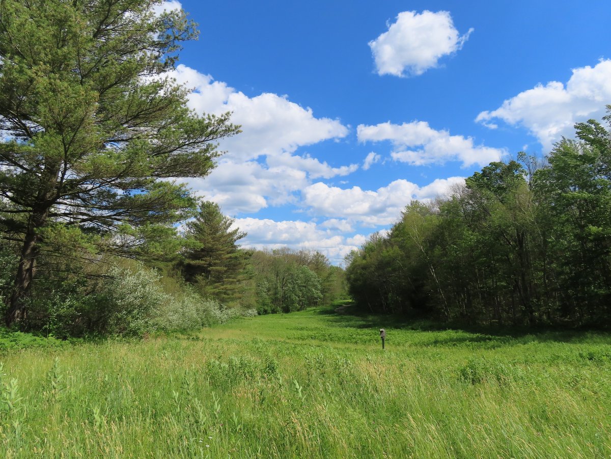
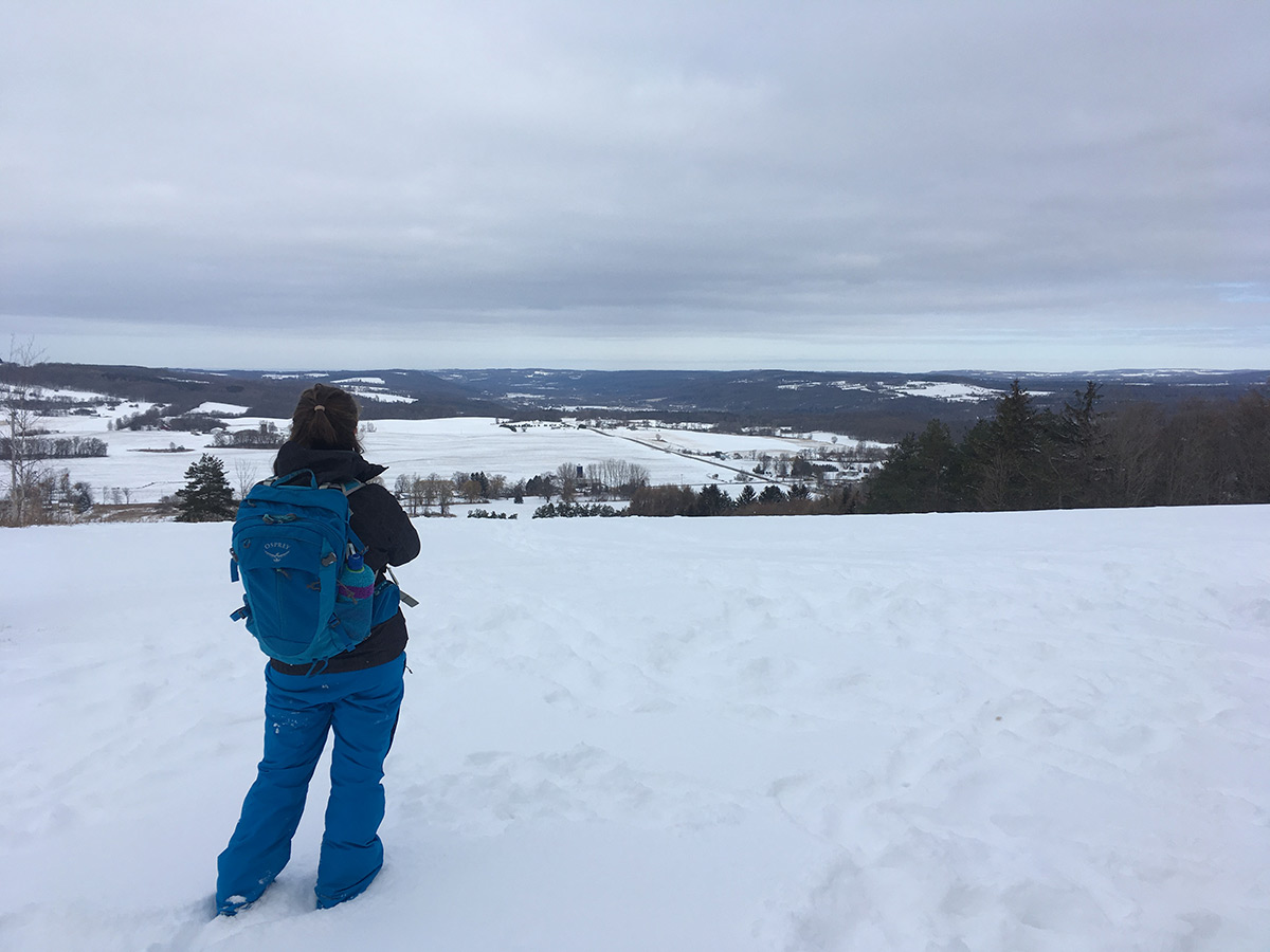
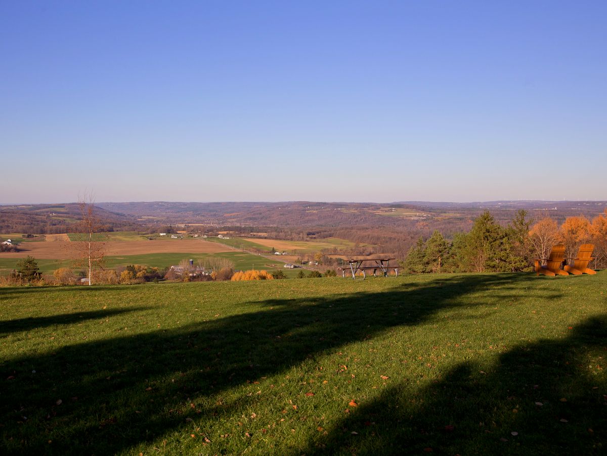
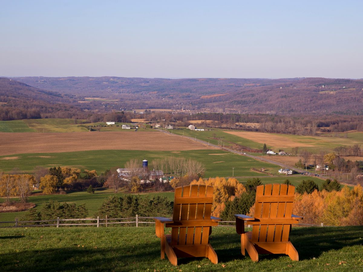
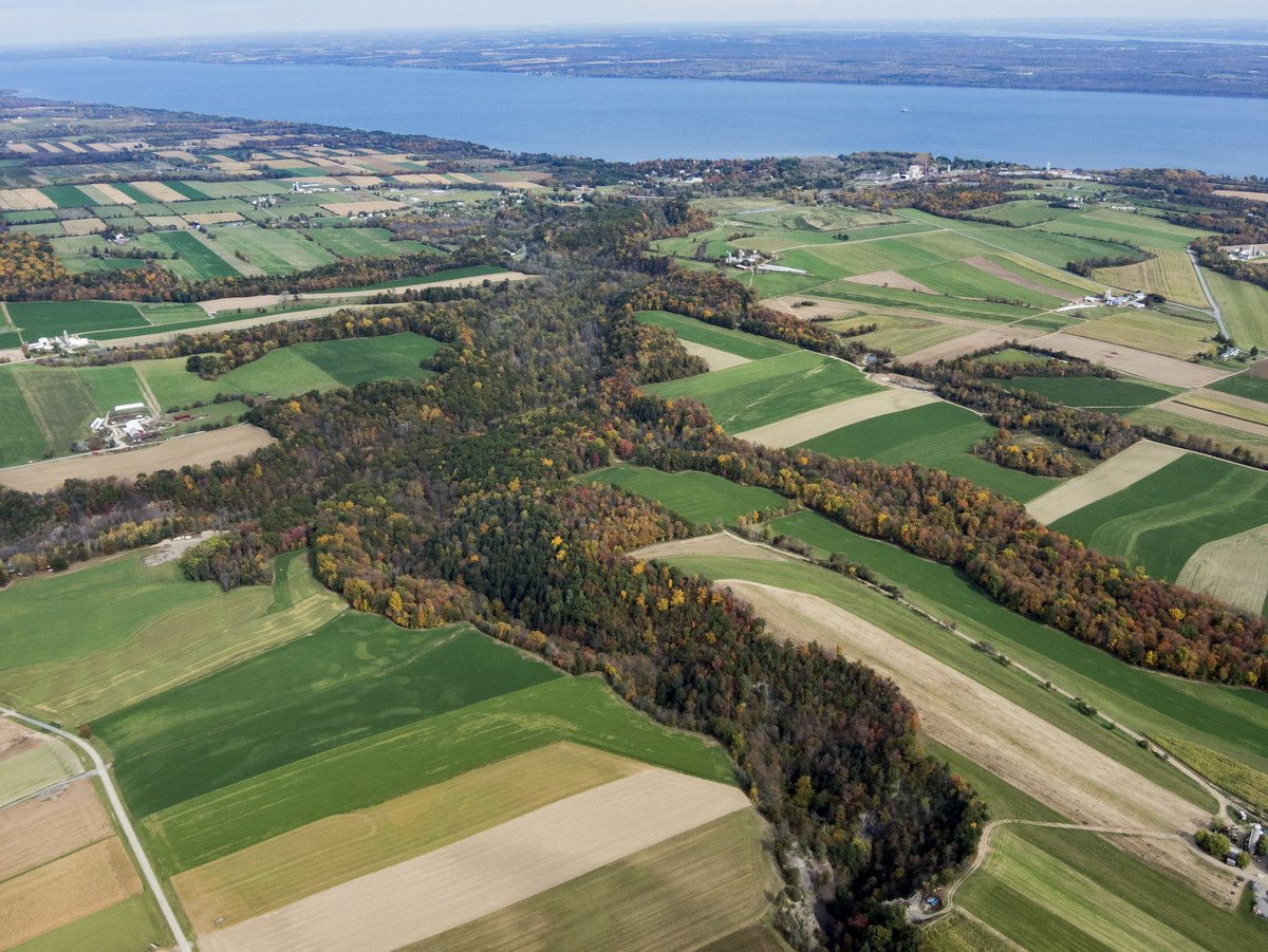
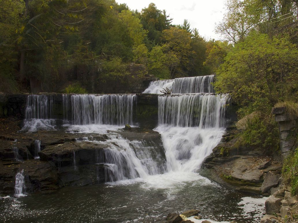
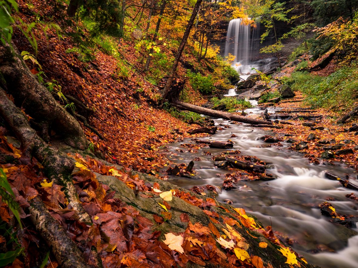
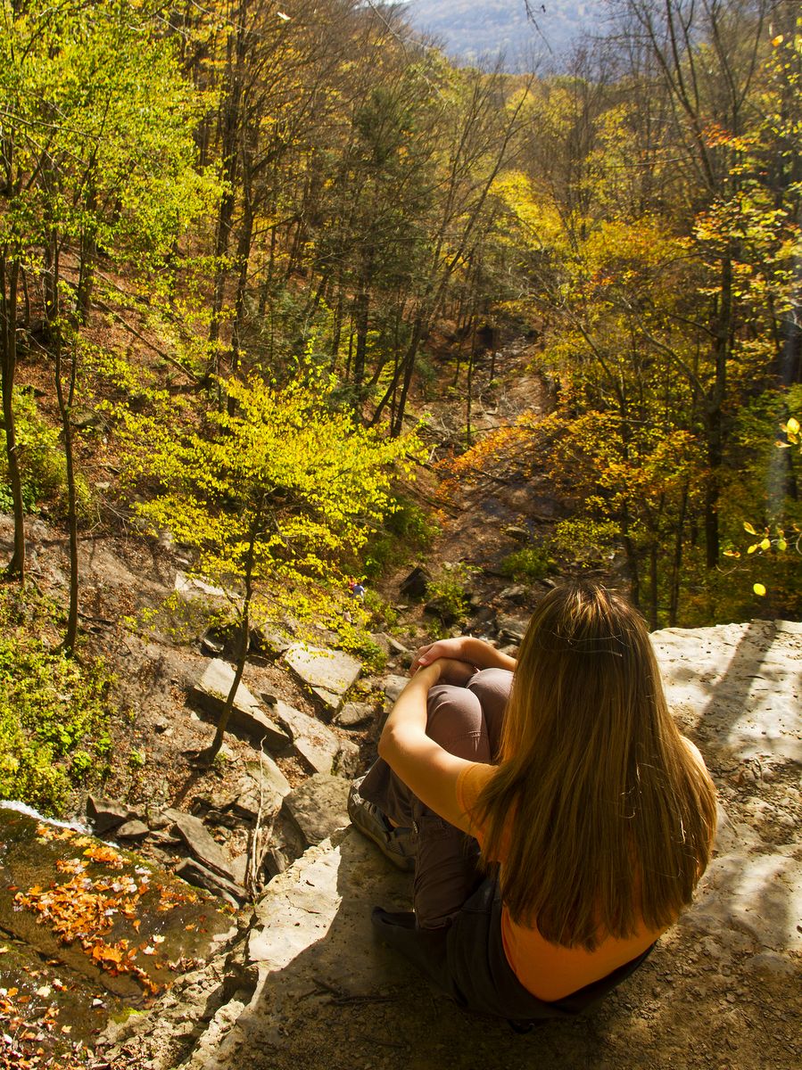
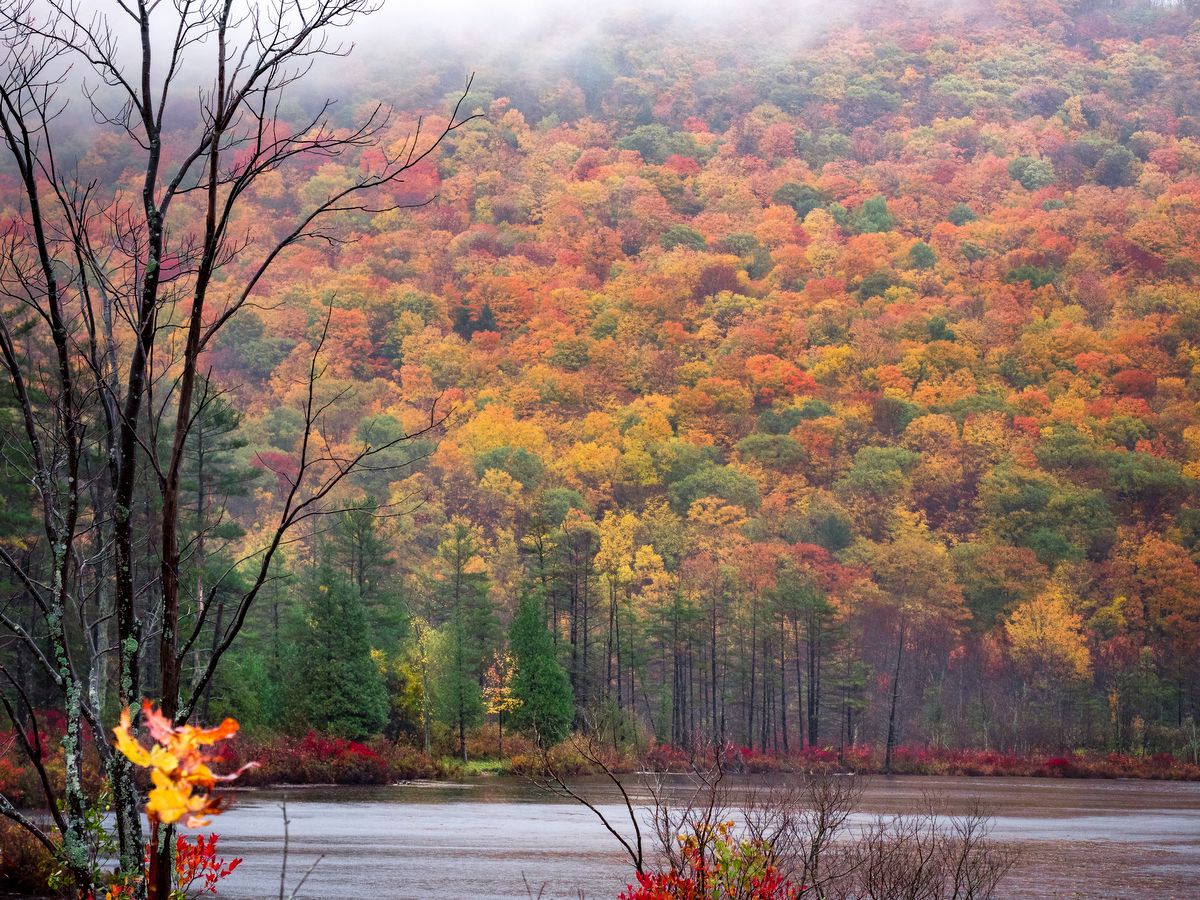
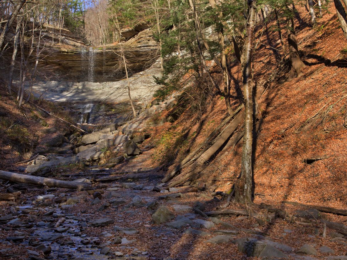
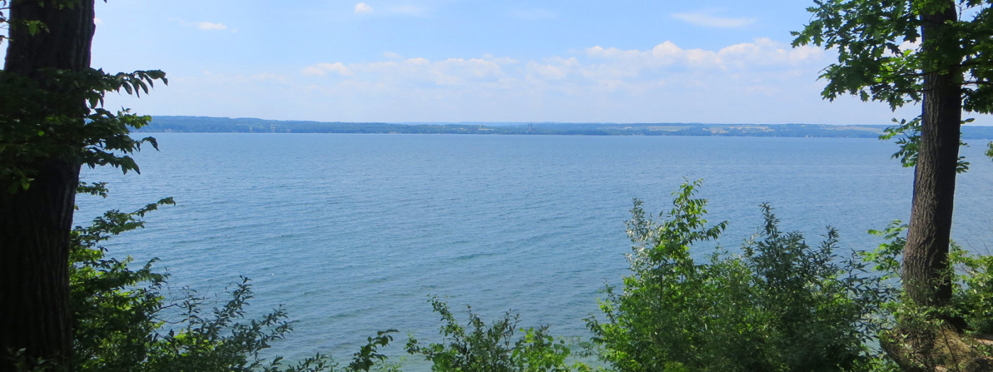
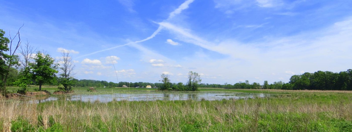
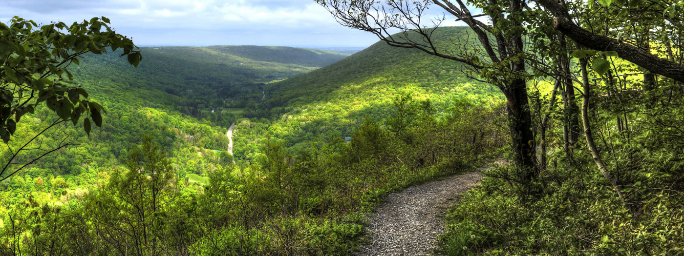
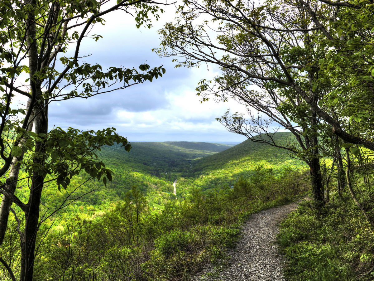
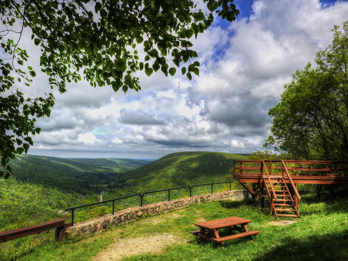
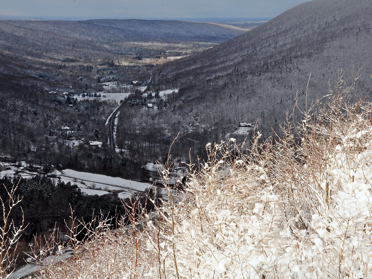
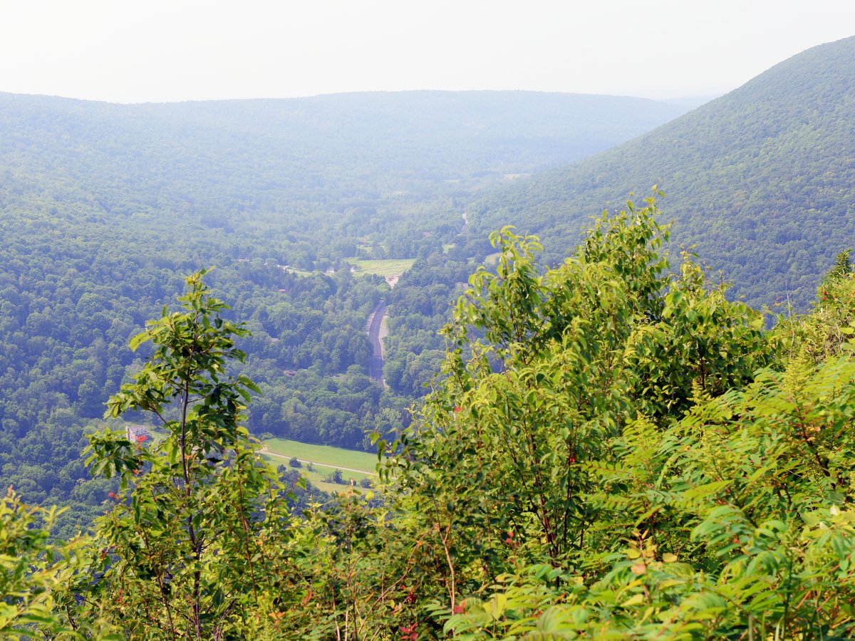
There are not many trails with broad scenic views in the Finger Lakes region, but the ones that do exist are high on the must-visit list.  Among those trails with a view, the “Jump Off” overlook at Gannett Hill is one of the best.  From an elevated platform or within a stone-wall encircled viewing area, the Bristol Valley sprawls across the western horizon in a stunning panoramic vista.

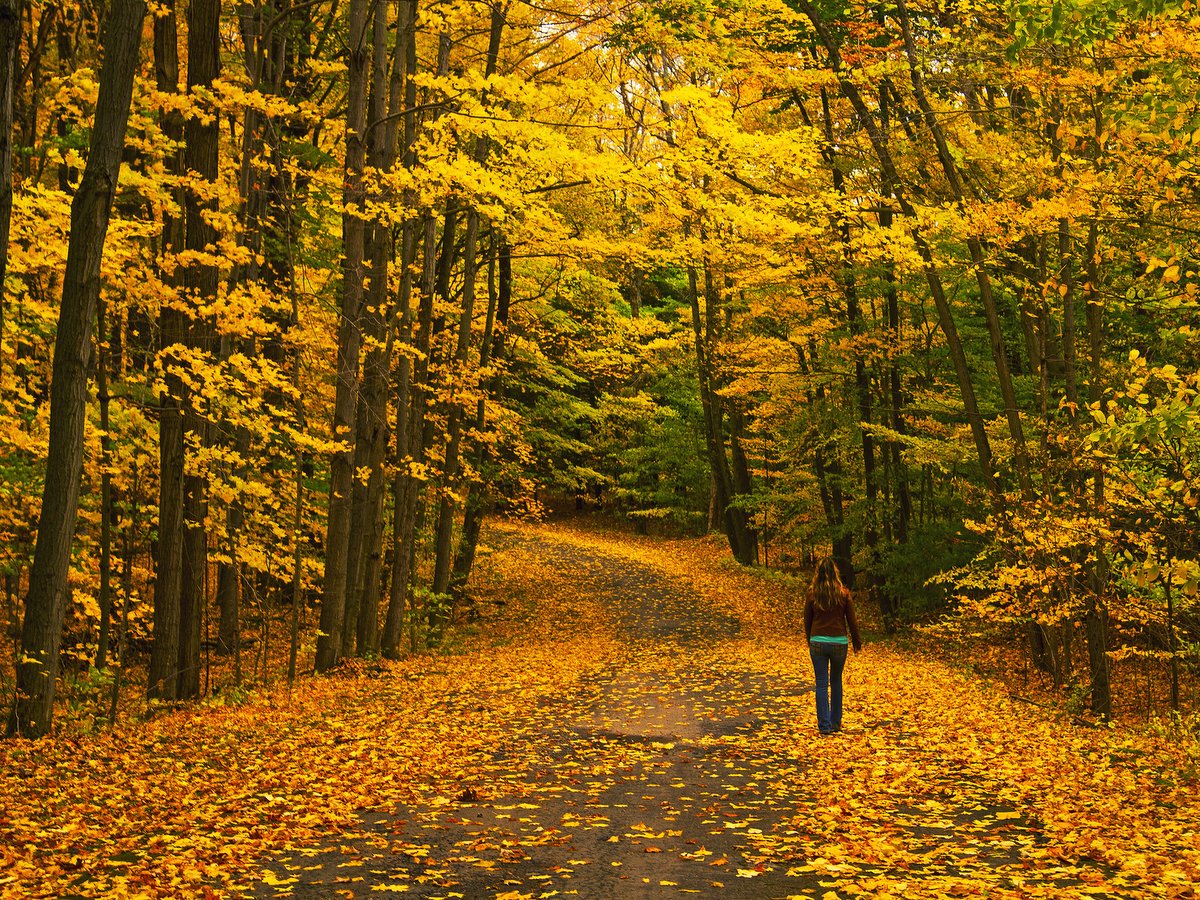
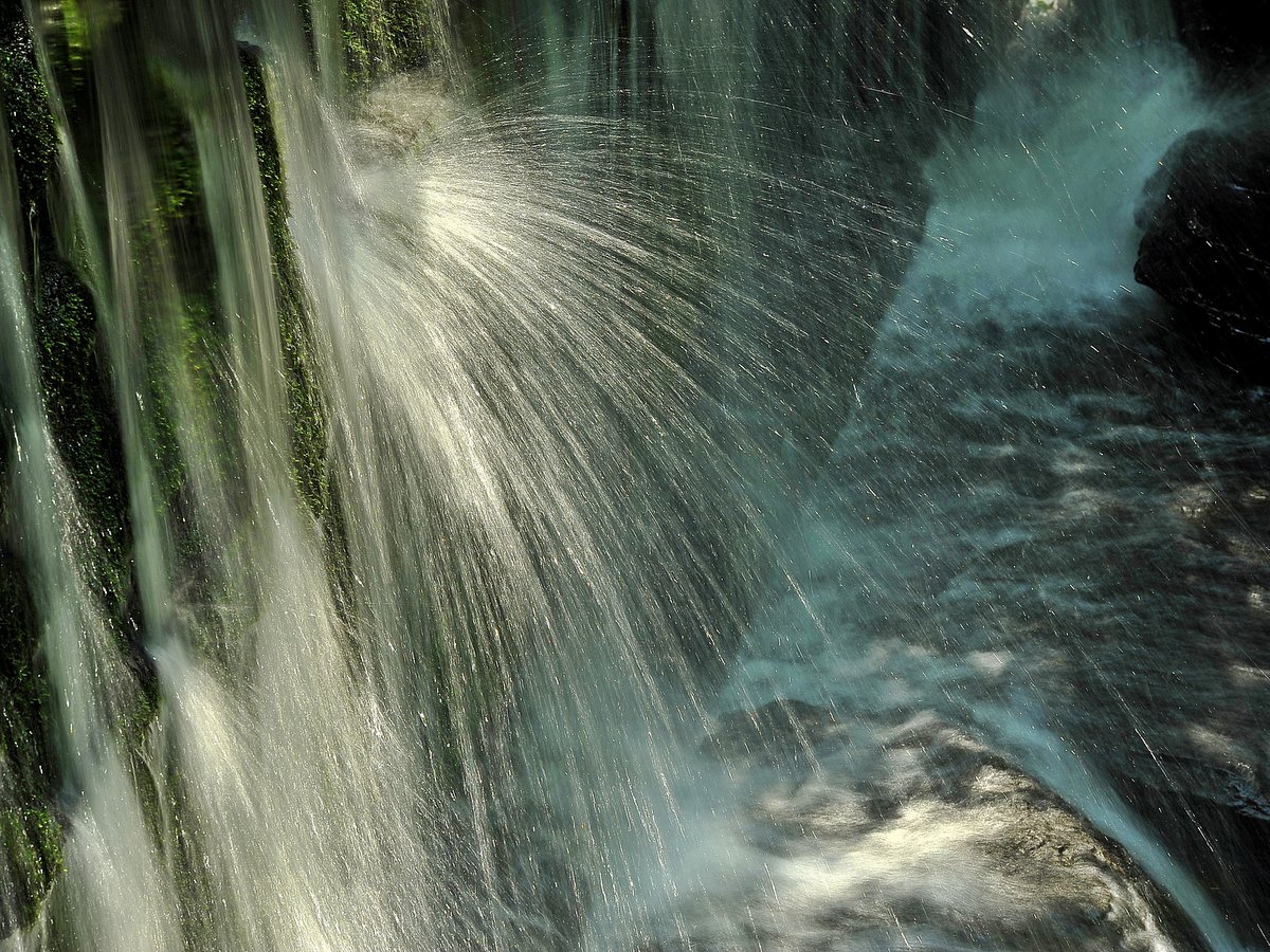
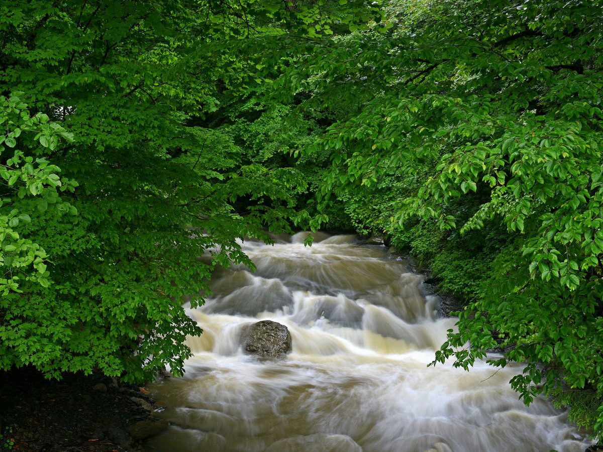
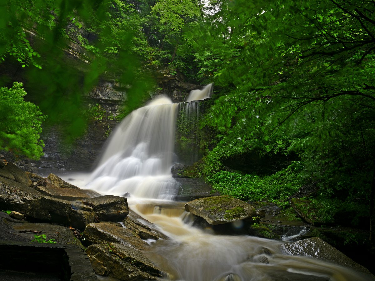
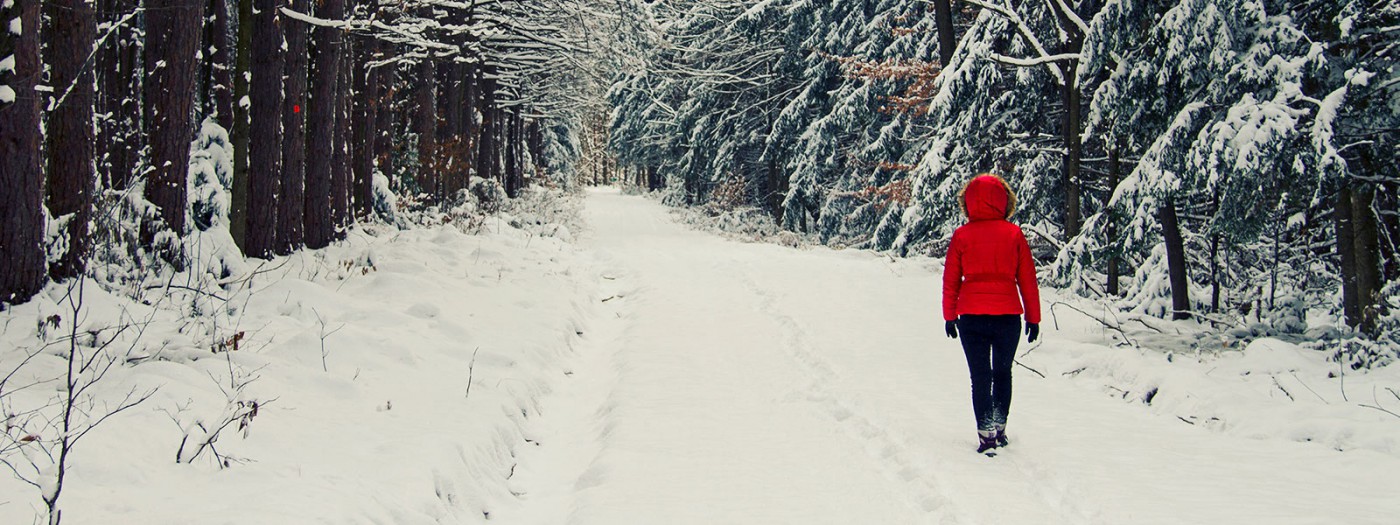
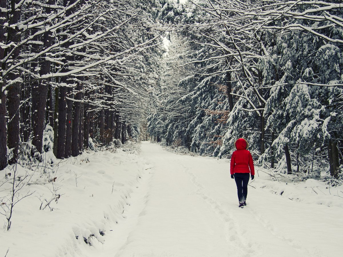
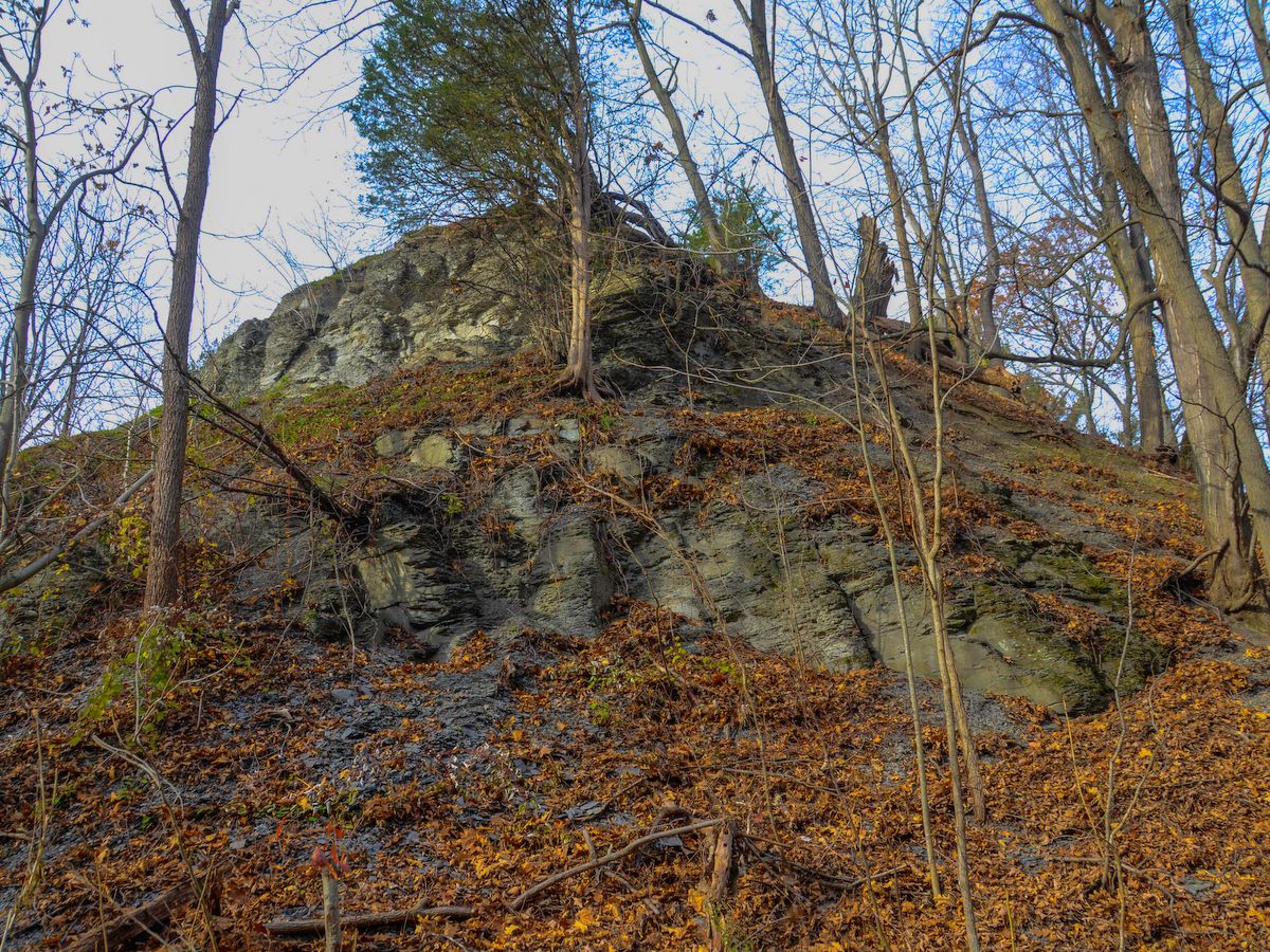
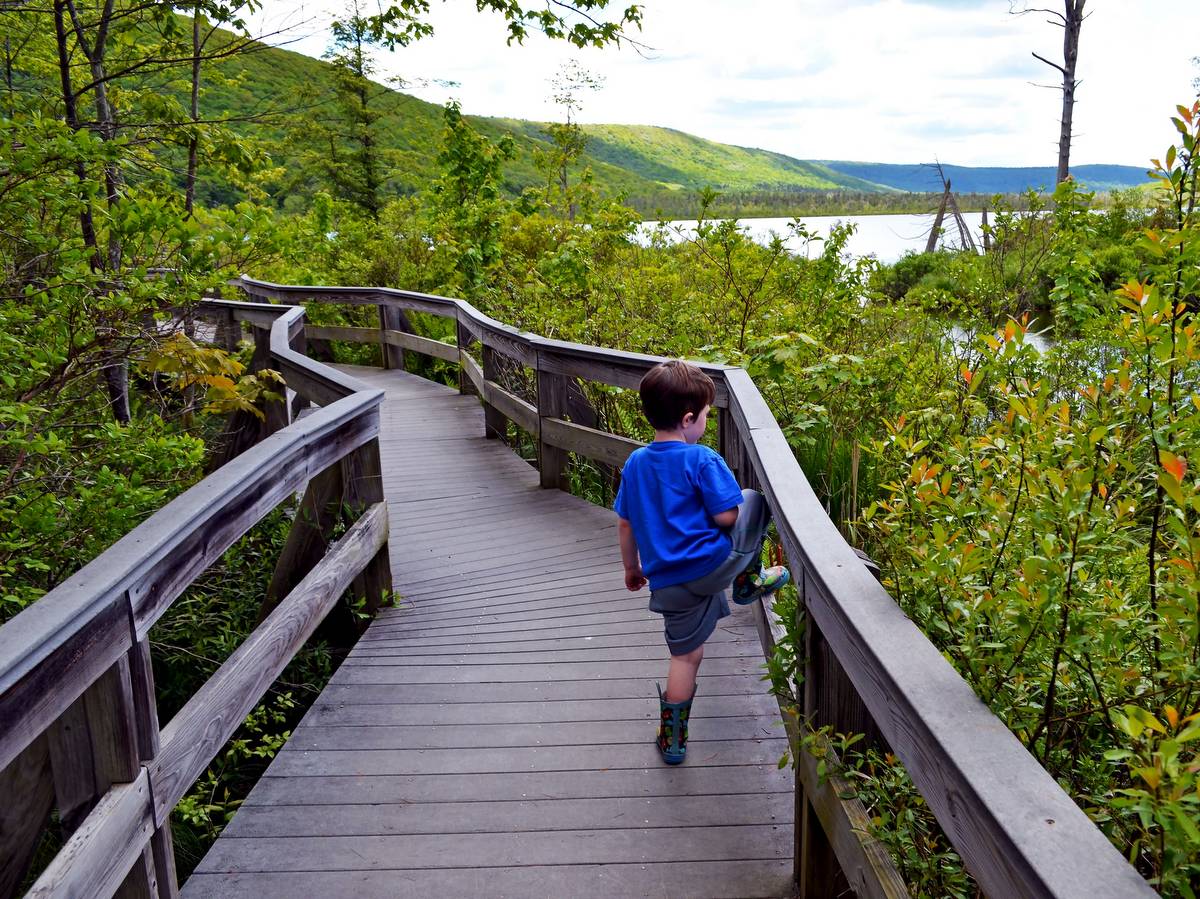
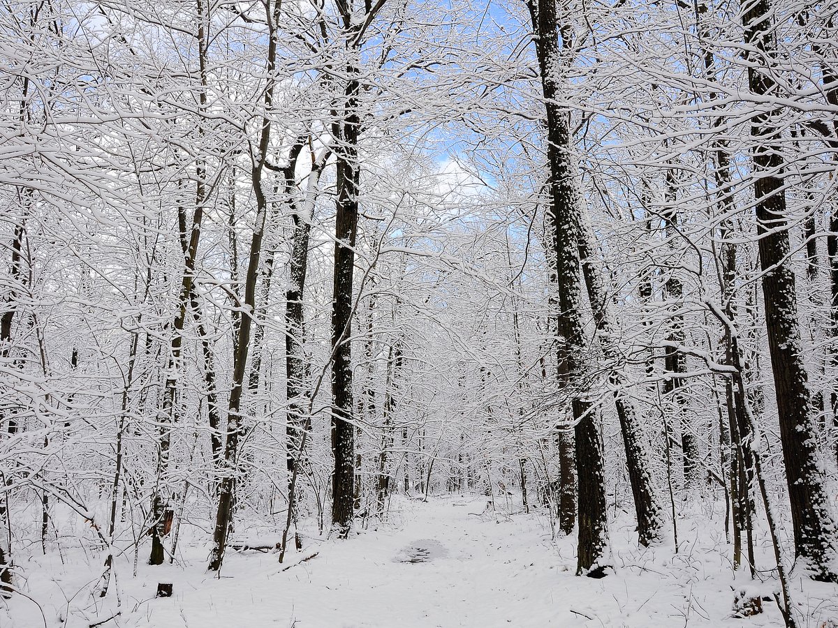
Whether snow-covered, lush with summer’s verdant green, or emblazoned with fall colors, this is a site to see.  The view is illustrative of the major influence that glaciers had in sculpting the U-shaped valleys and overly steepened hillsides of the Finger Lakes region.  What is even better is that this overlook can also be accessed via a short ADA-accessible path so every member of the family can enjoy the view.

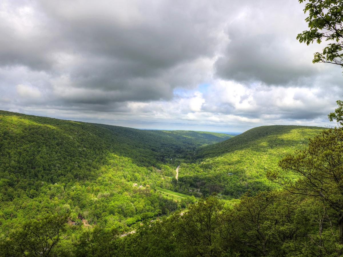
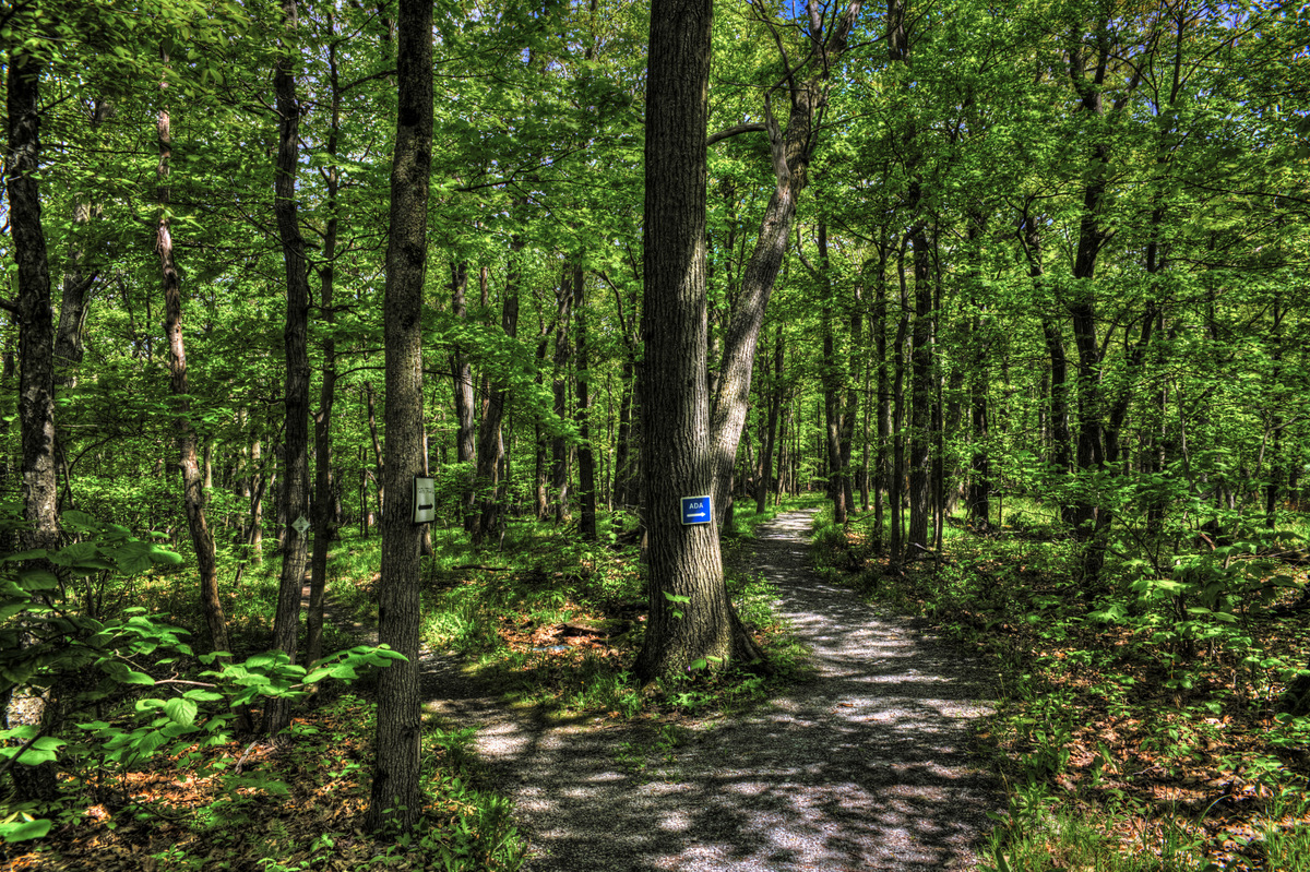
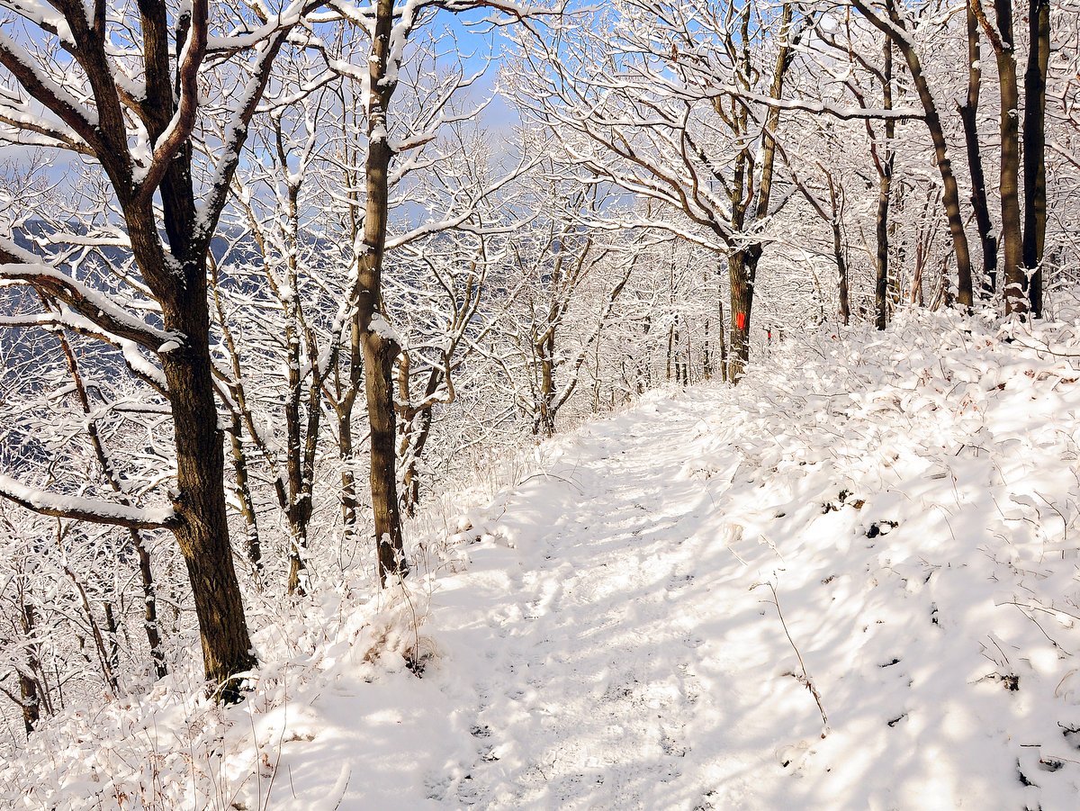
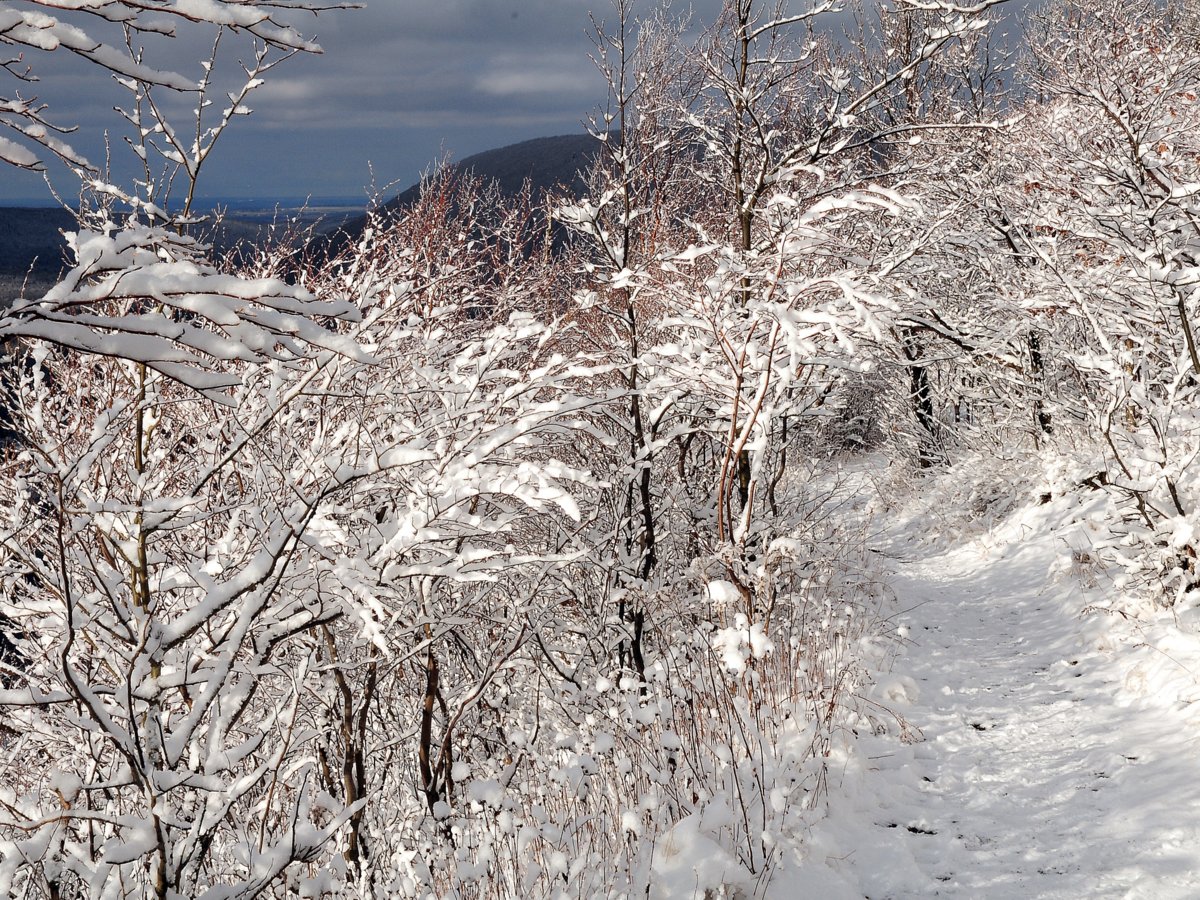
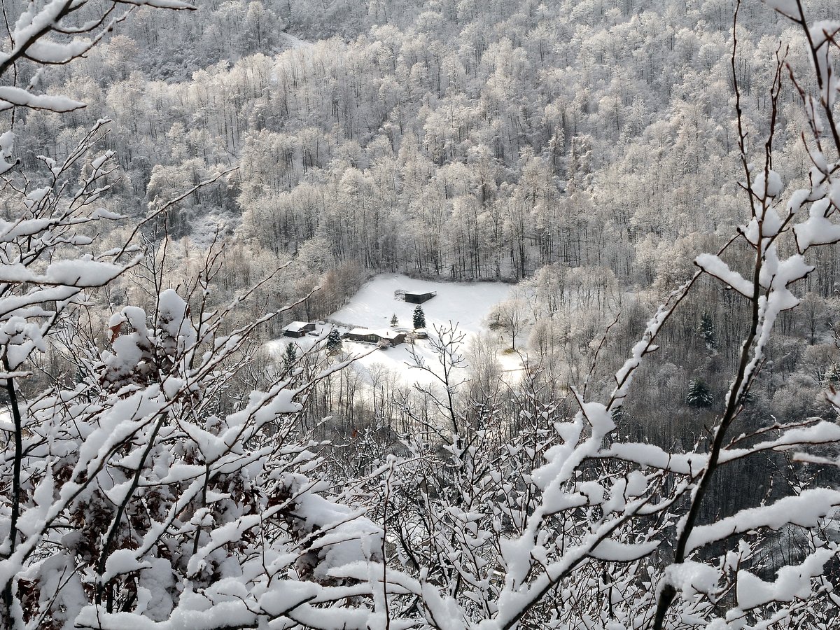
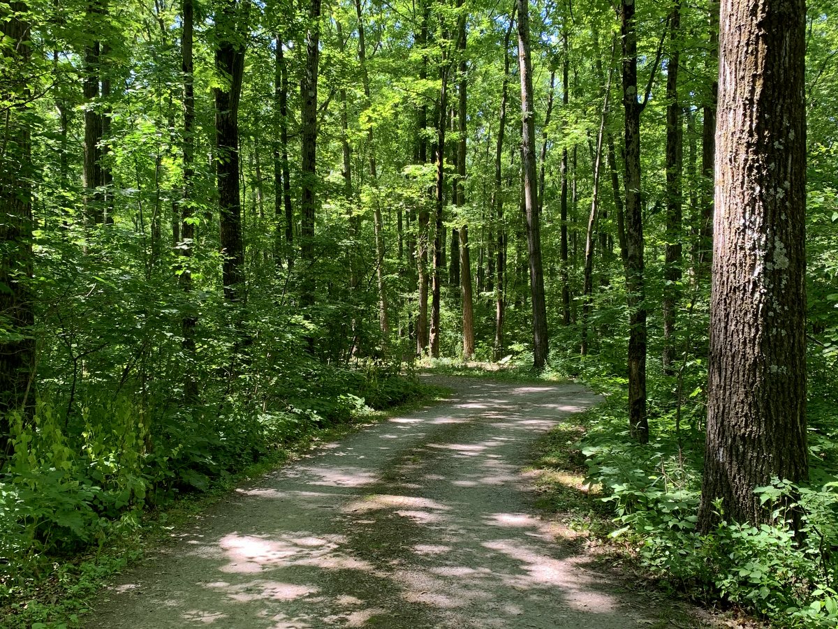
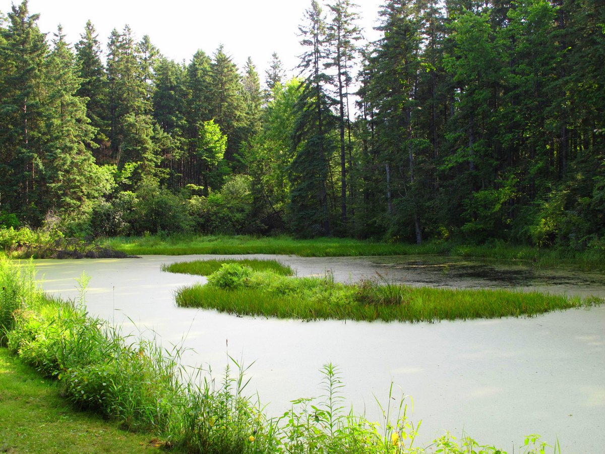
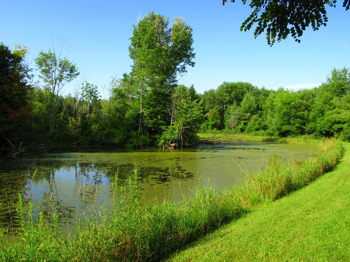
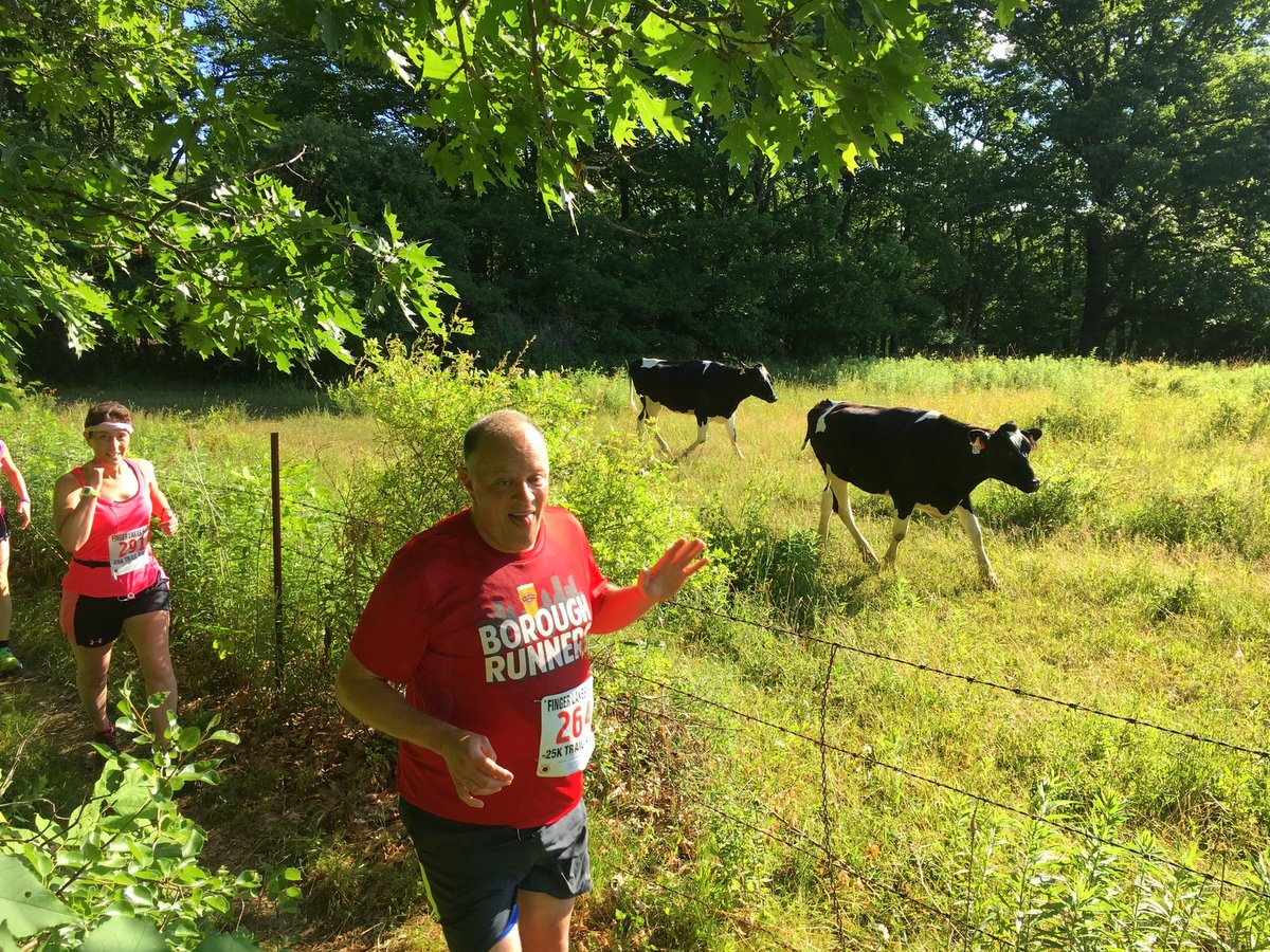
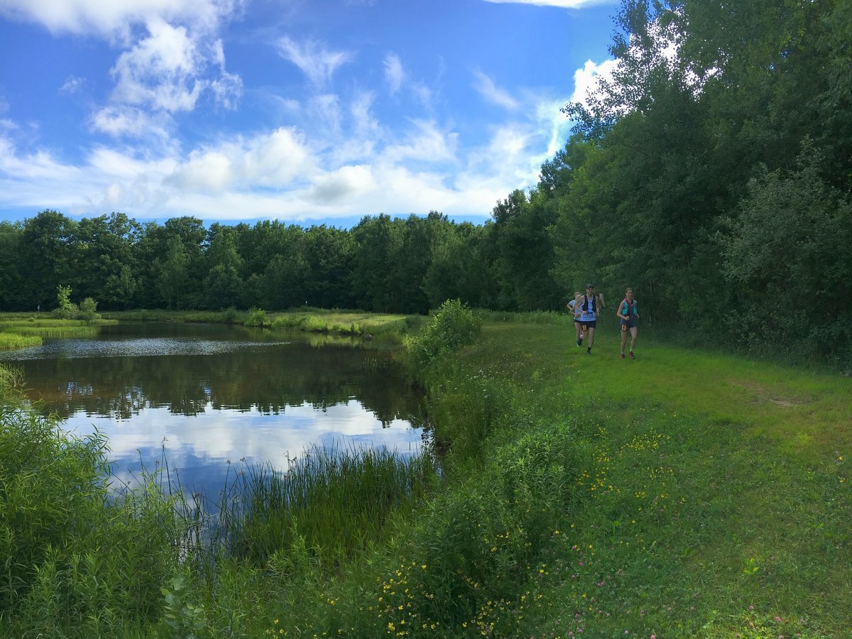
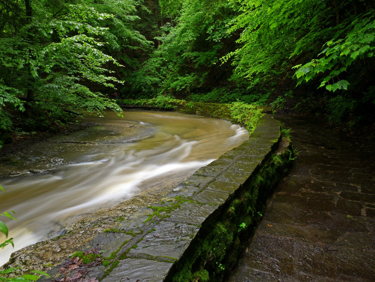
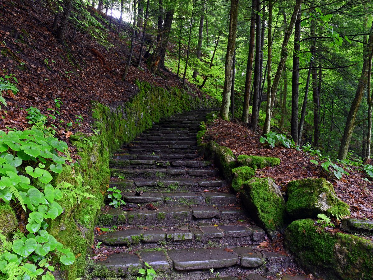
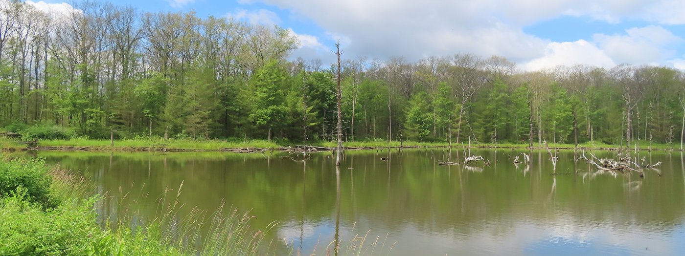
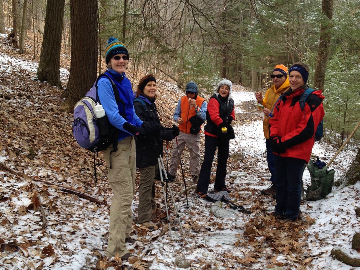
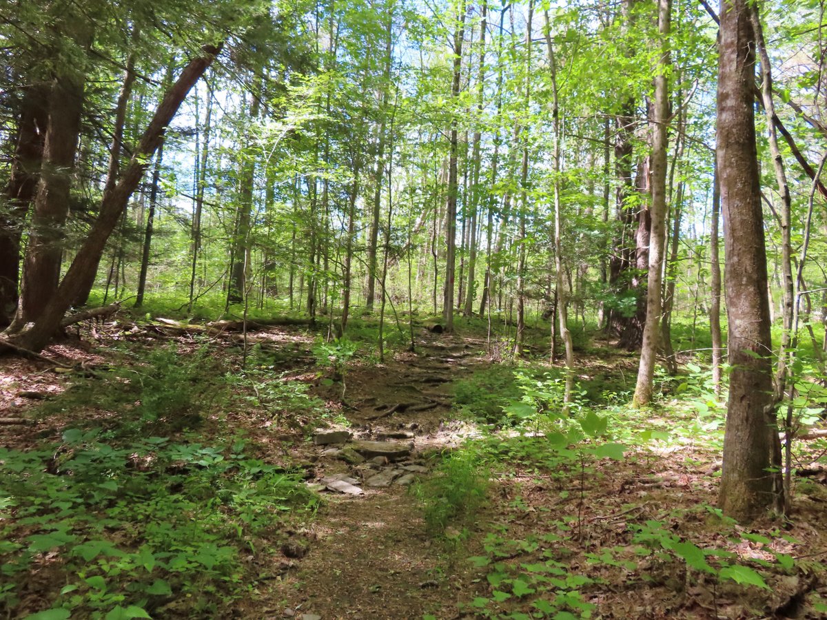
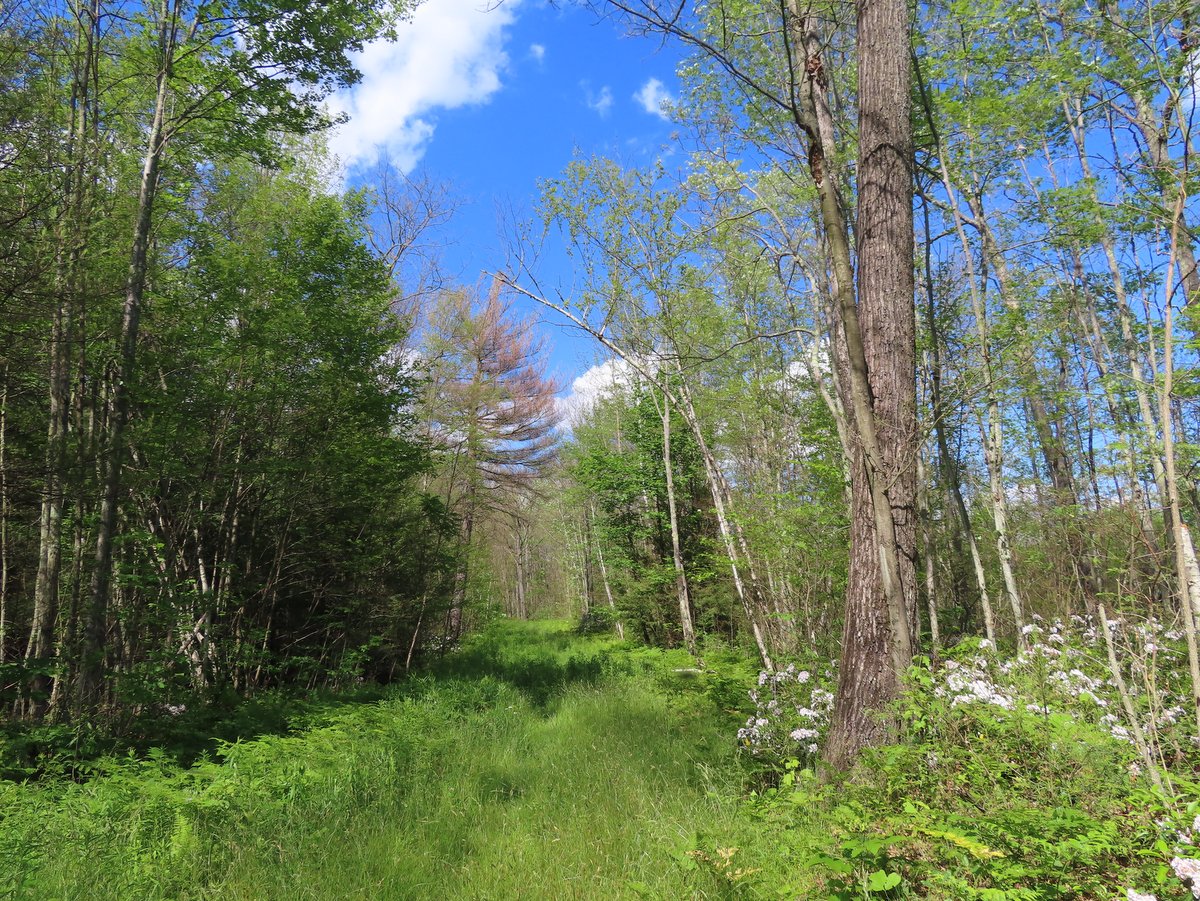
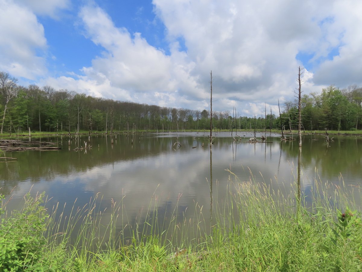
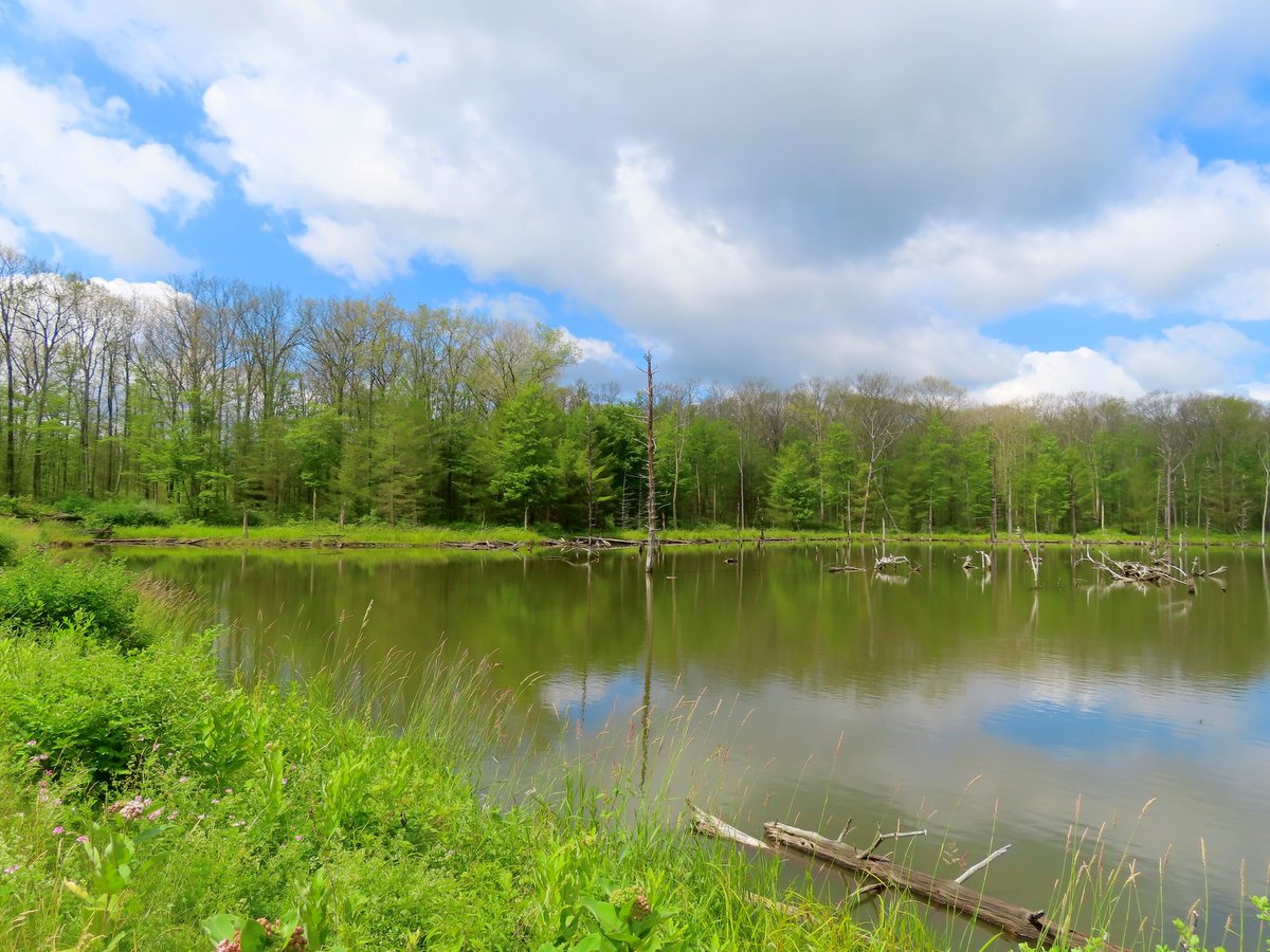
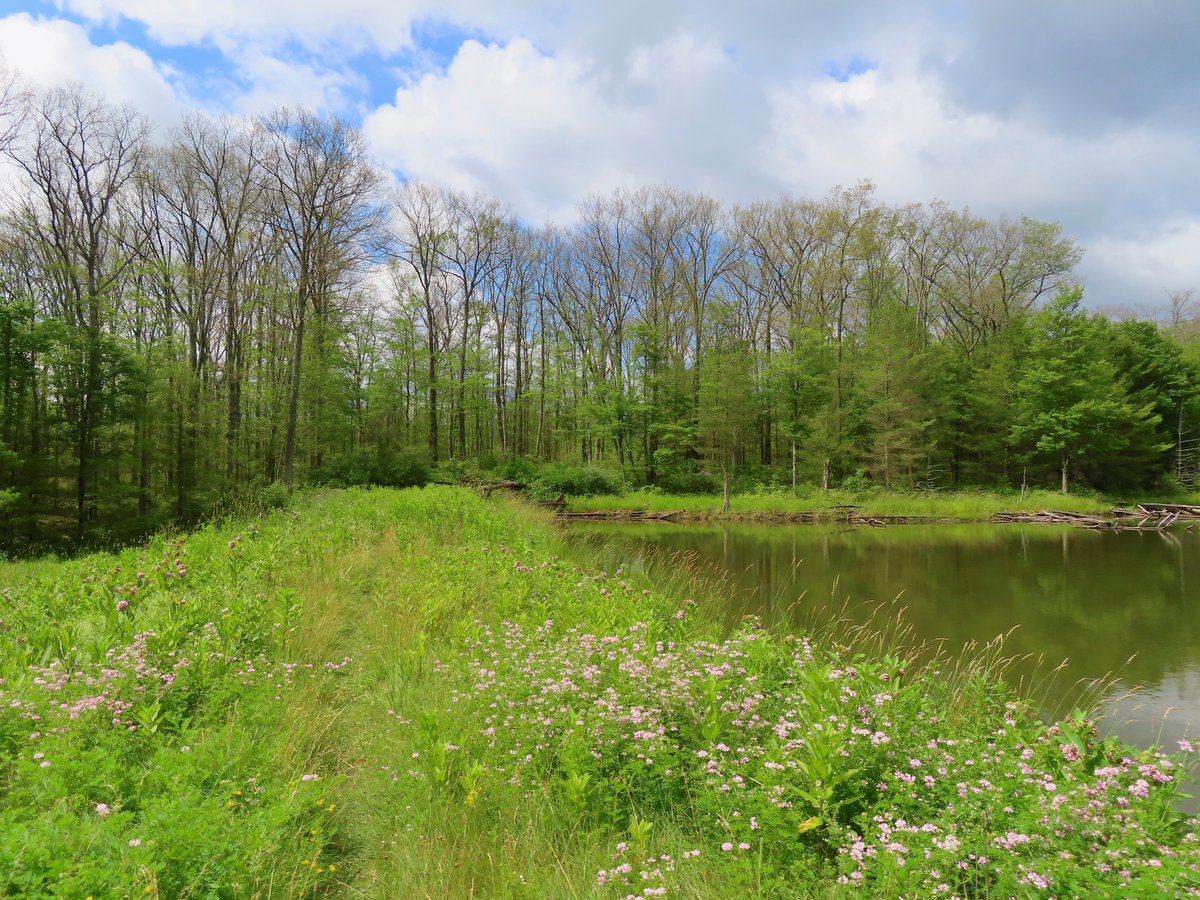
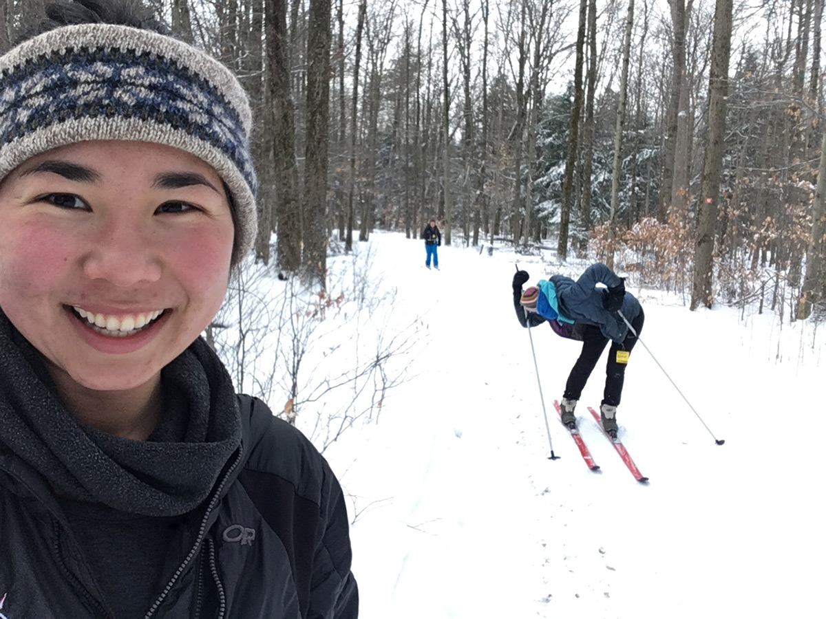
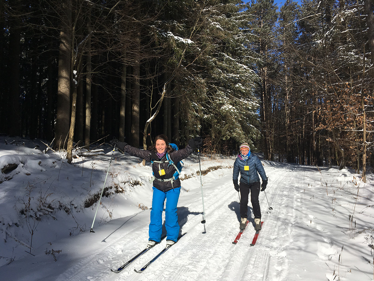
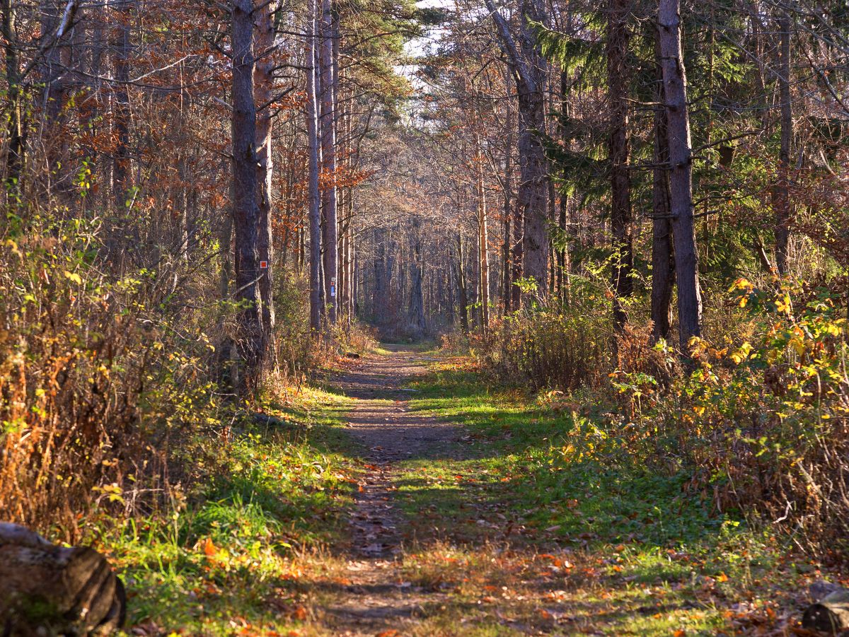
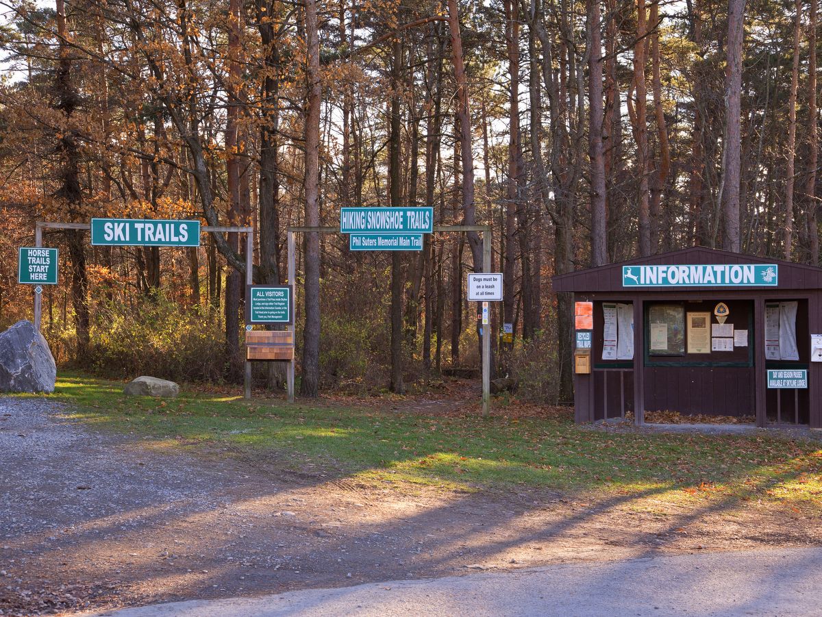
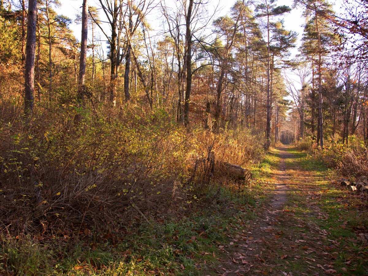
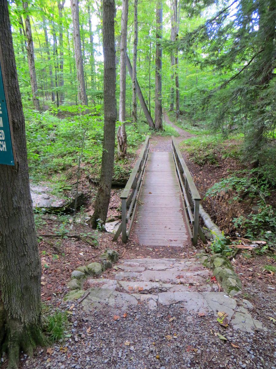
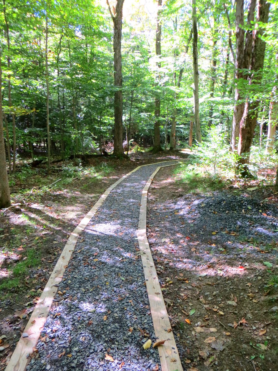
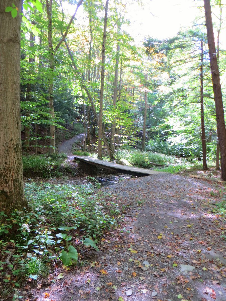
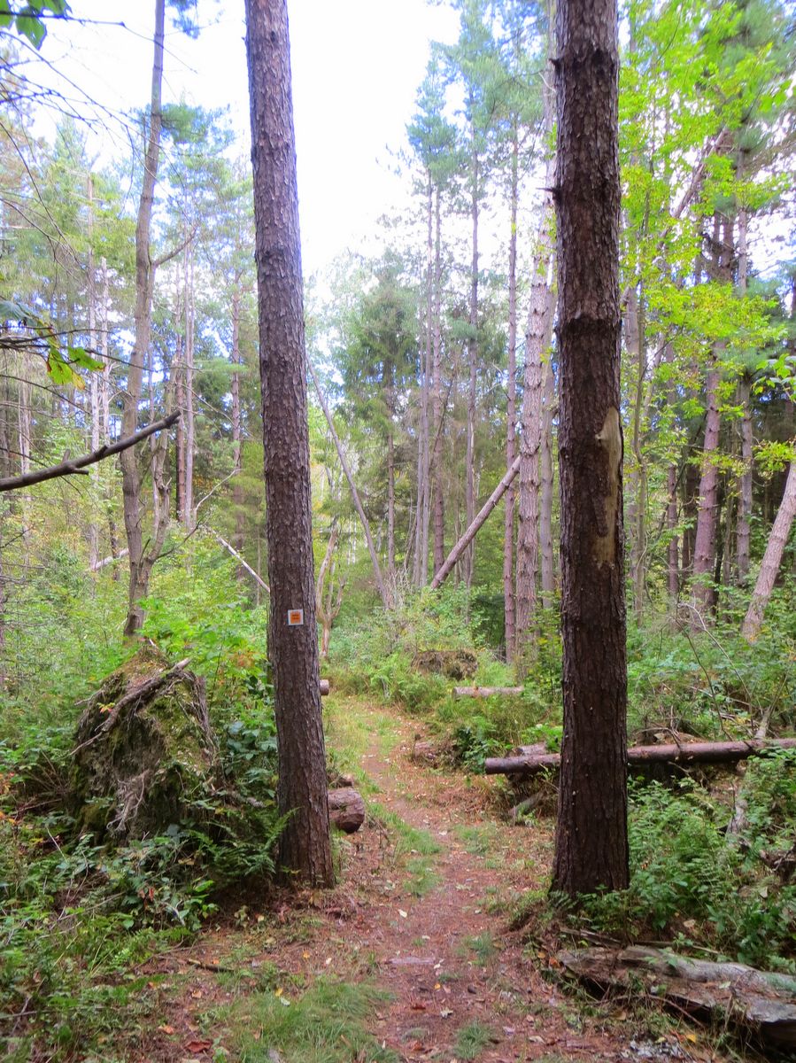
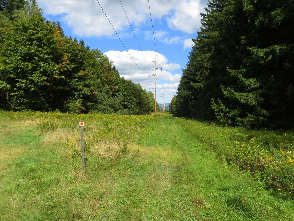
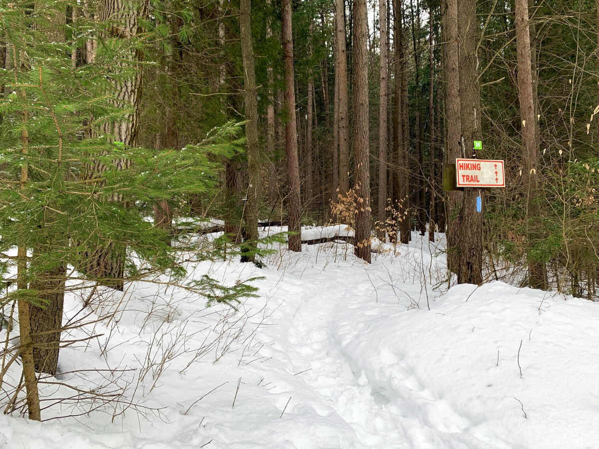
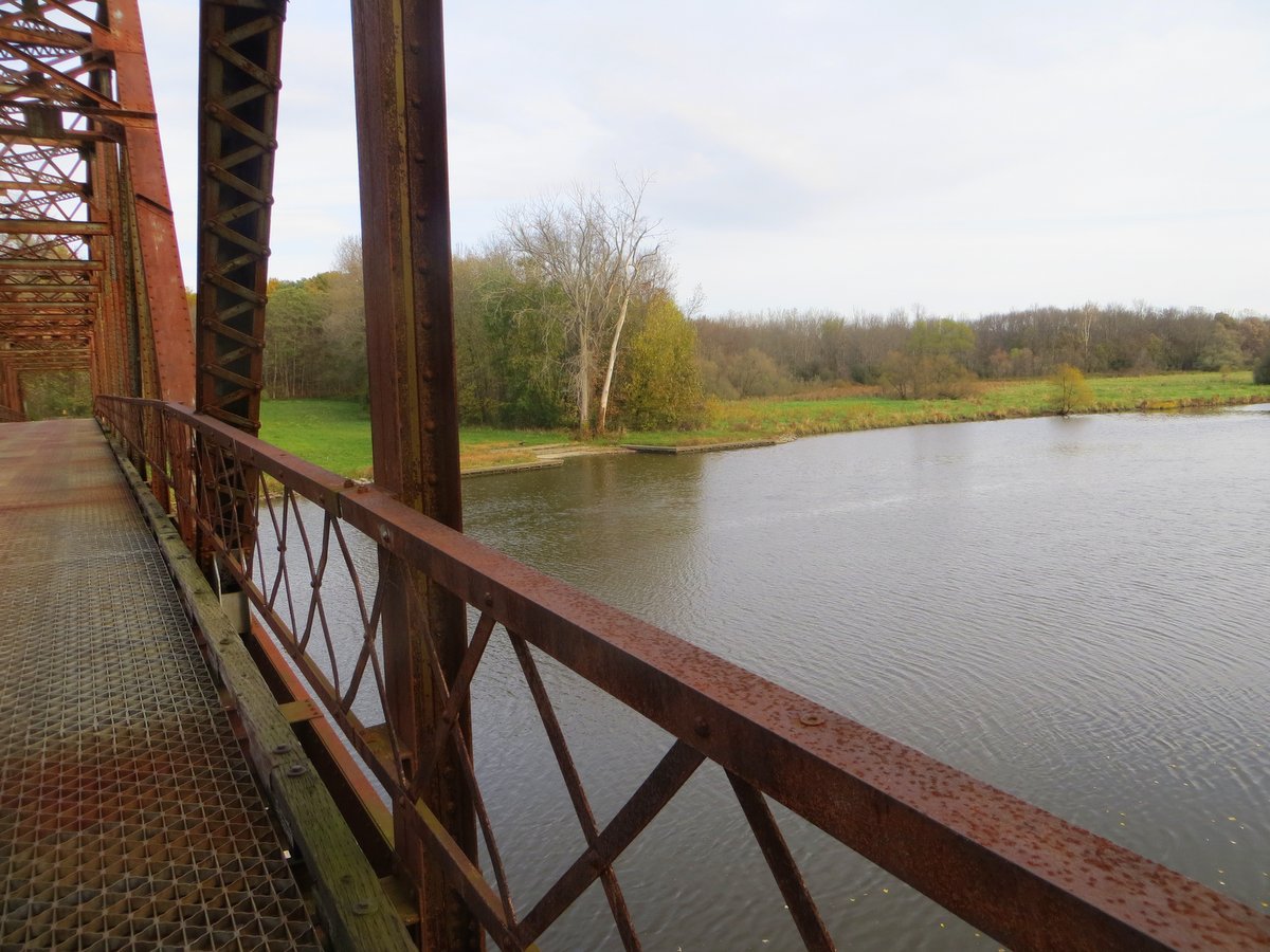
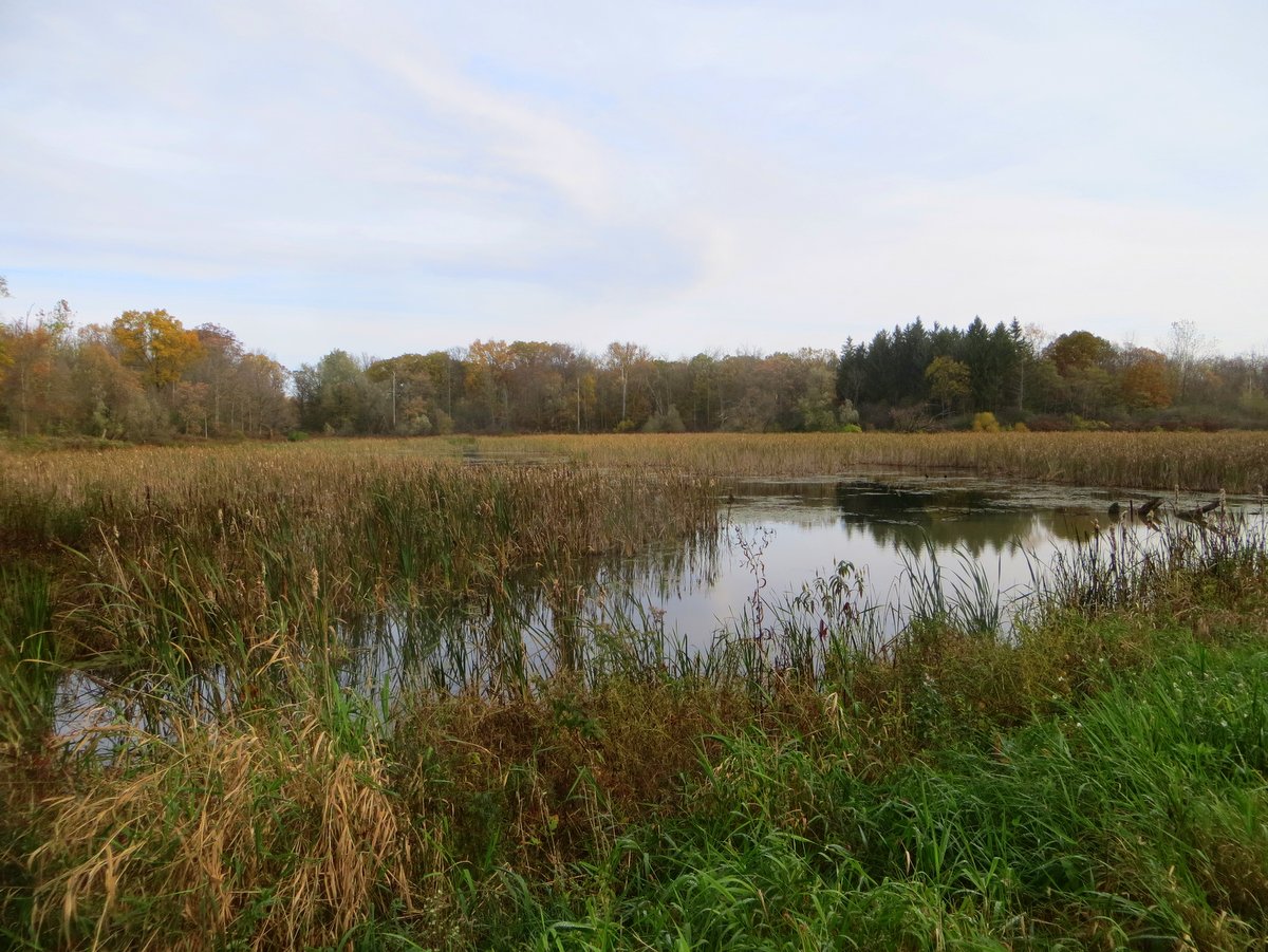
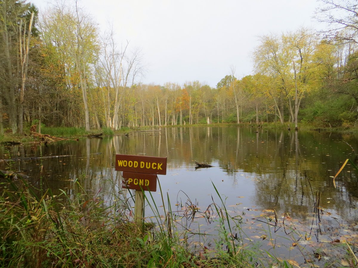
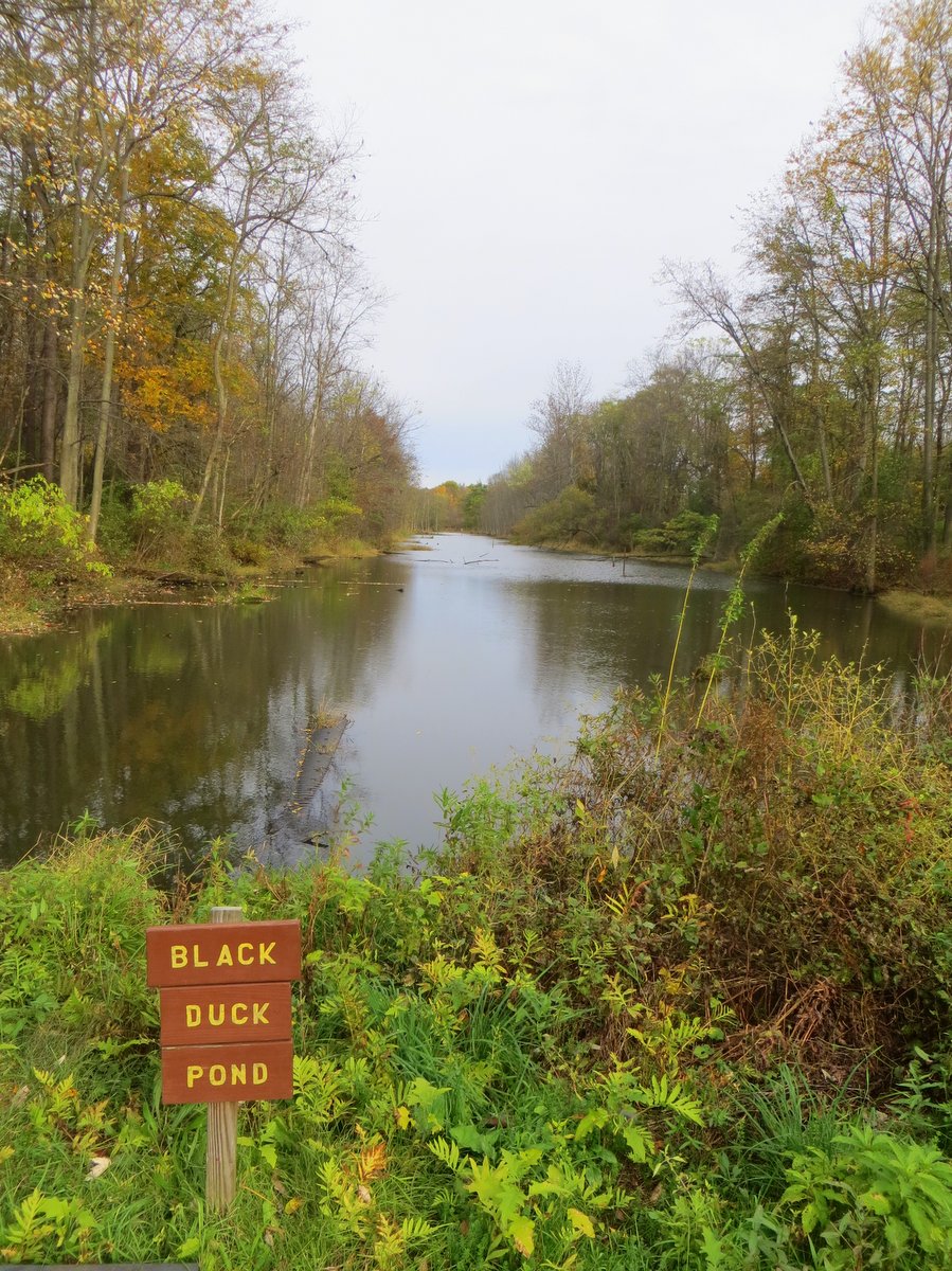
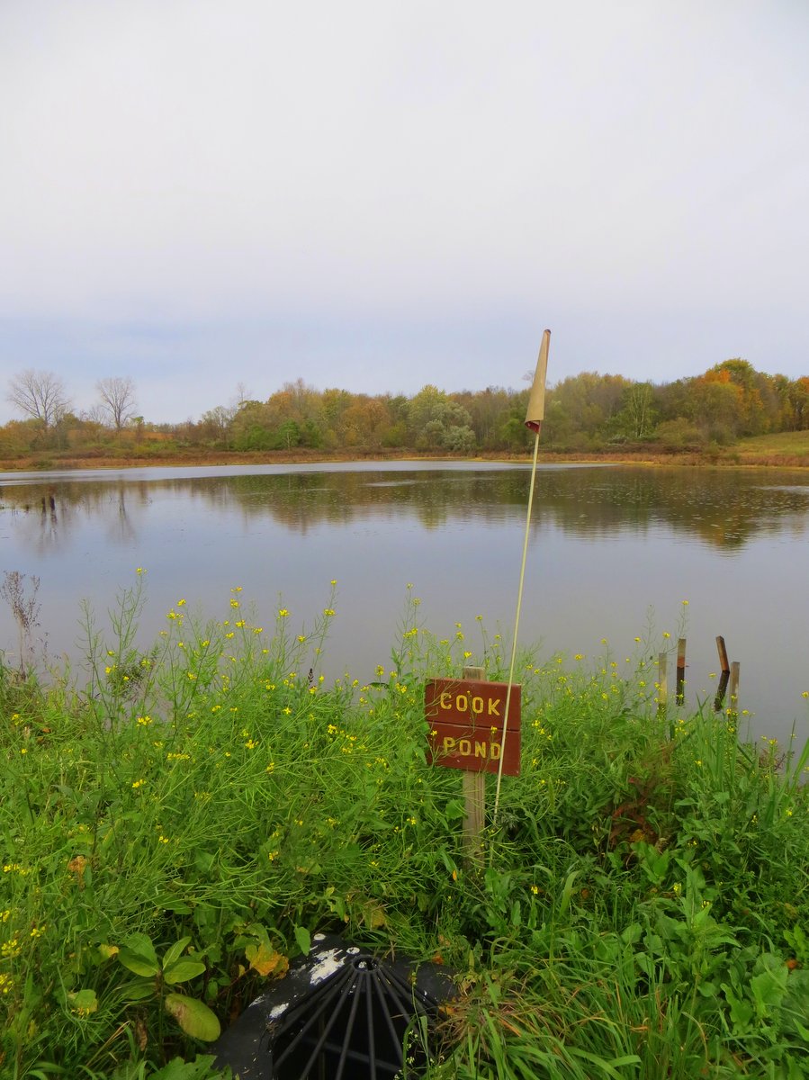
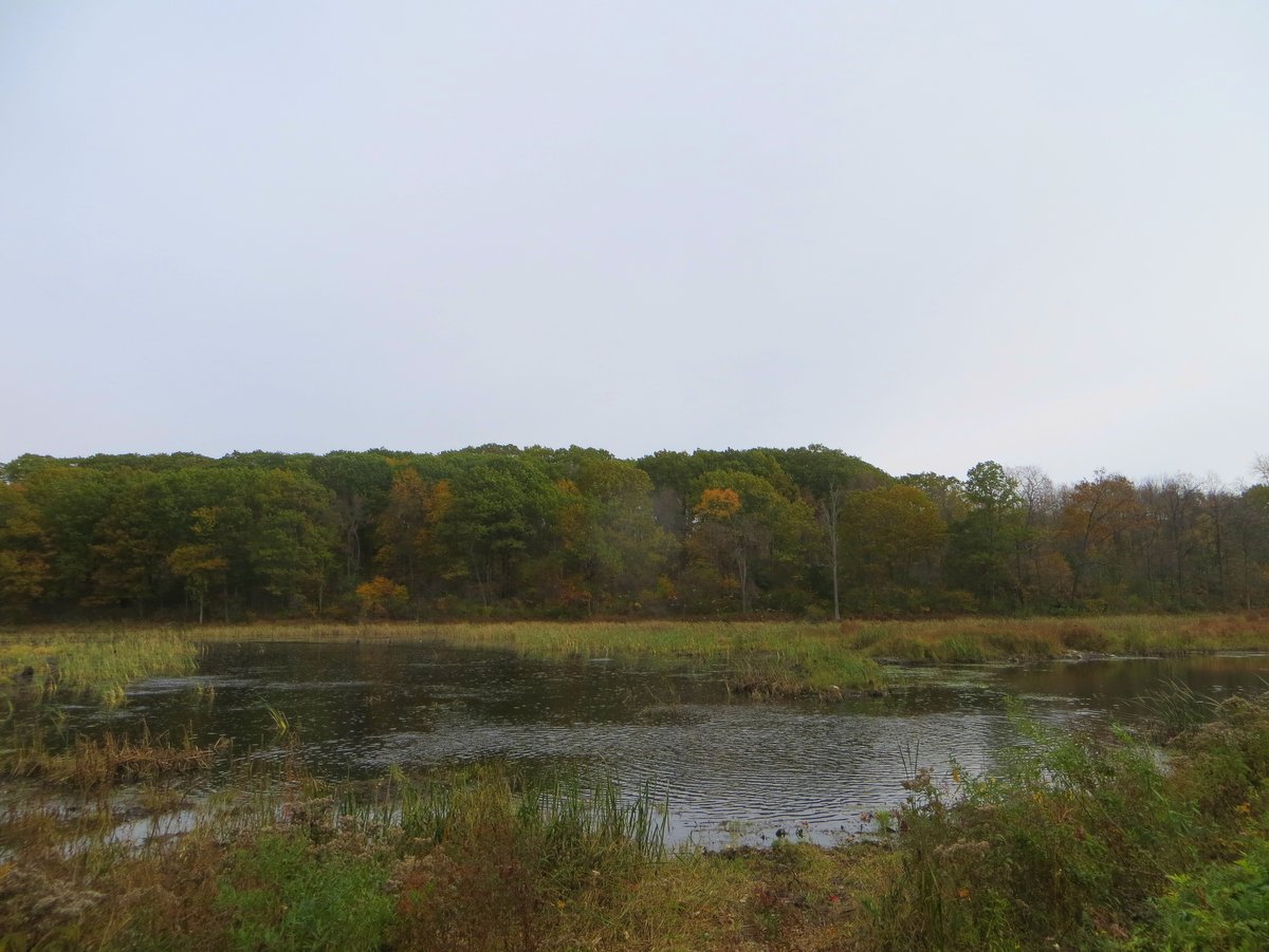
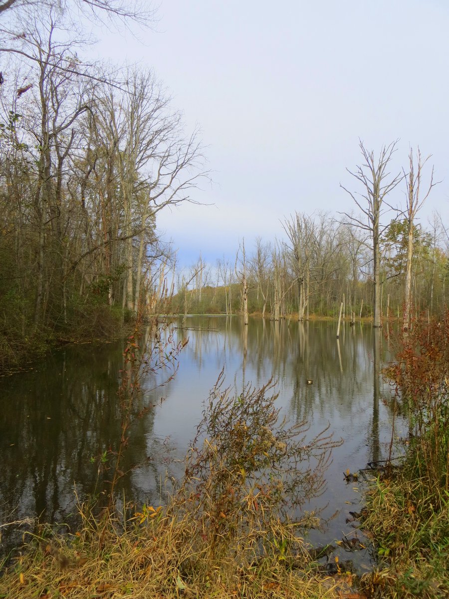
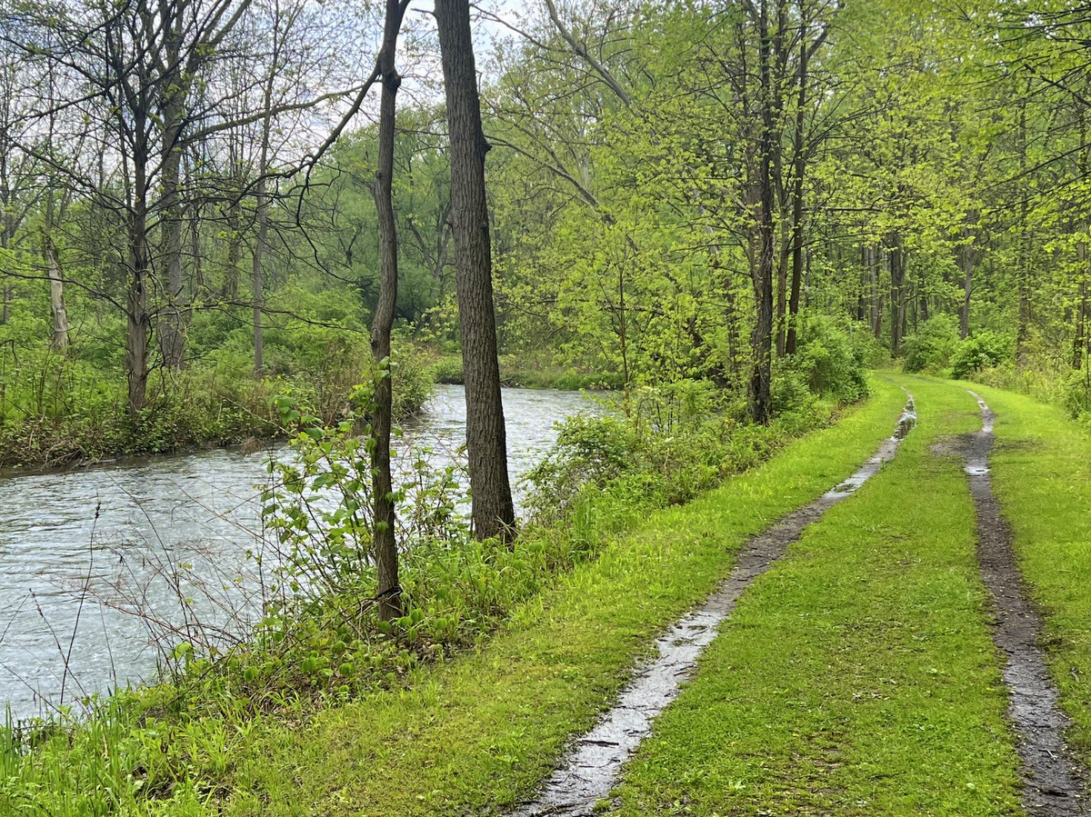
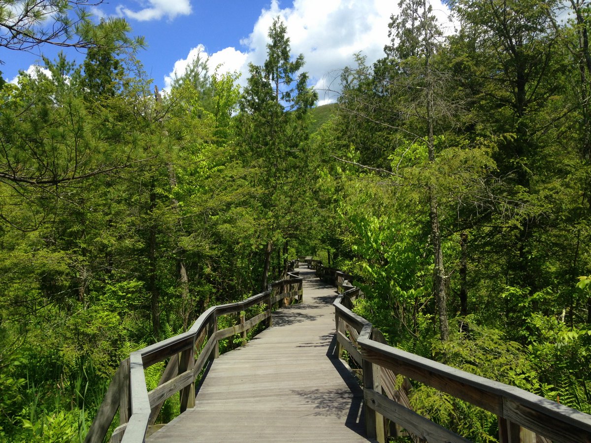
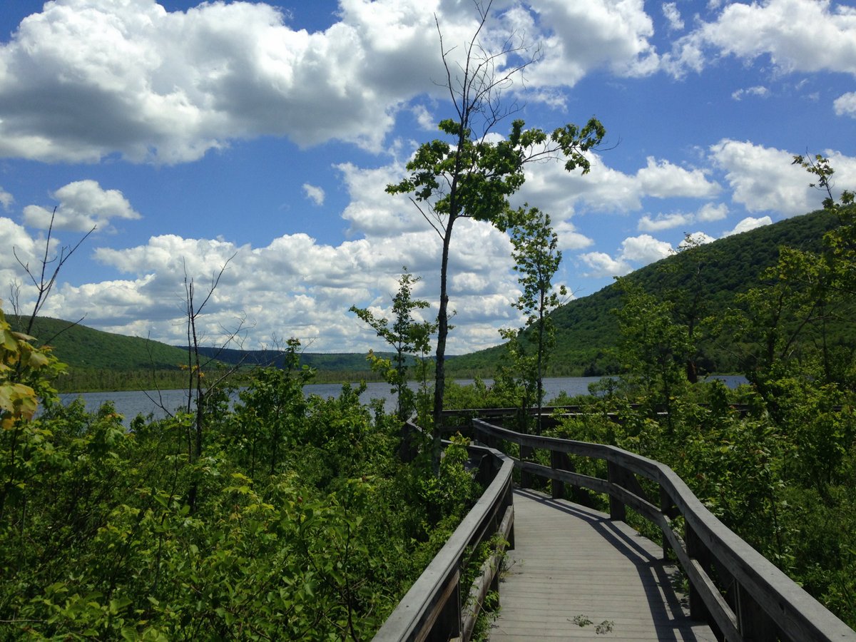
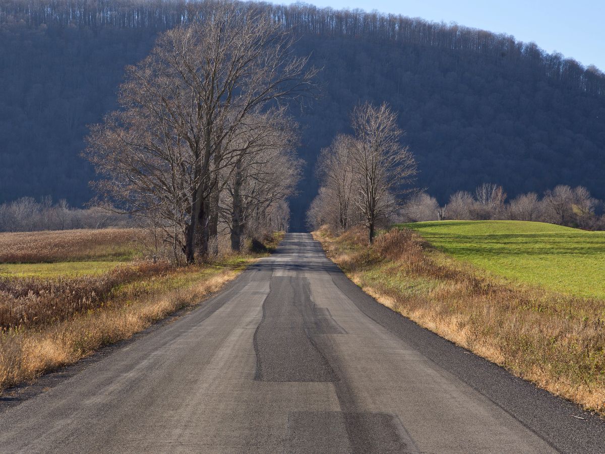
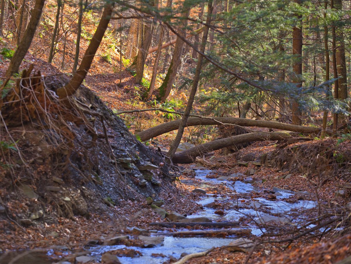
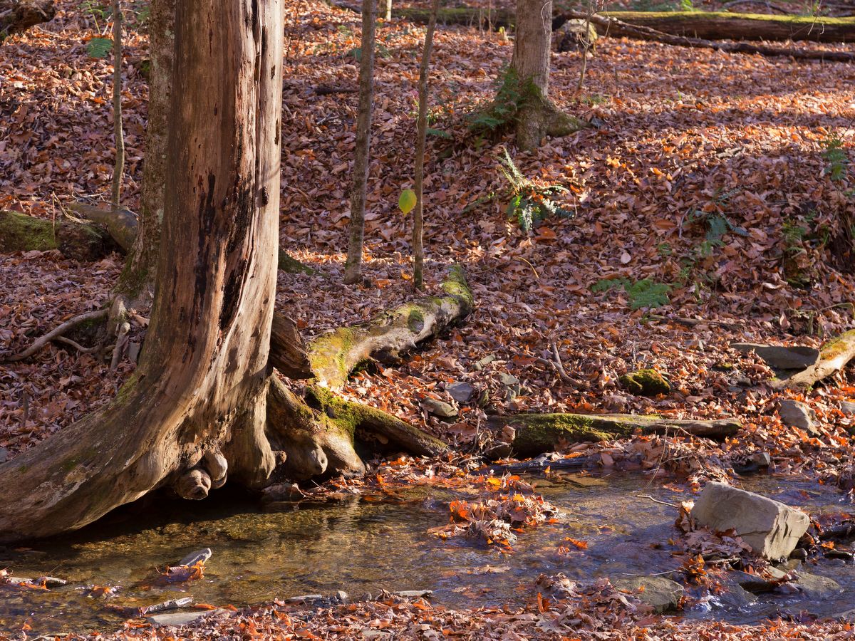
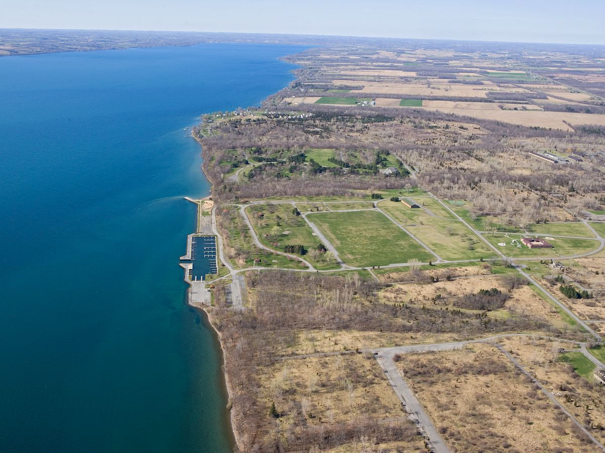
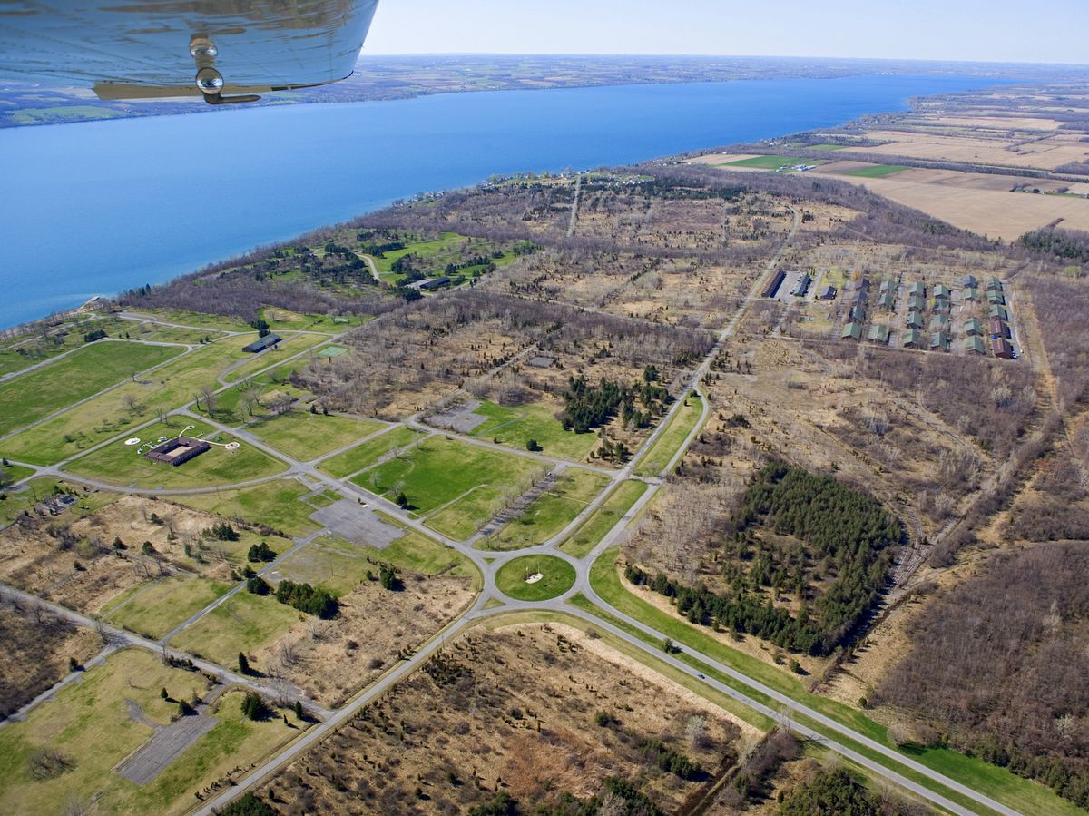
But the lookout is just the beginning of the activities available in the over 400-acre county park. Heading south from the lookout, the dramatic vista accompanies trekkers along their way to where the majority of the extensive trail system unfolds.  A vast network of trails, over 10 miles in total, weaves through the woodland and over steepened hillsides of the Bristol Valley.

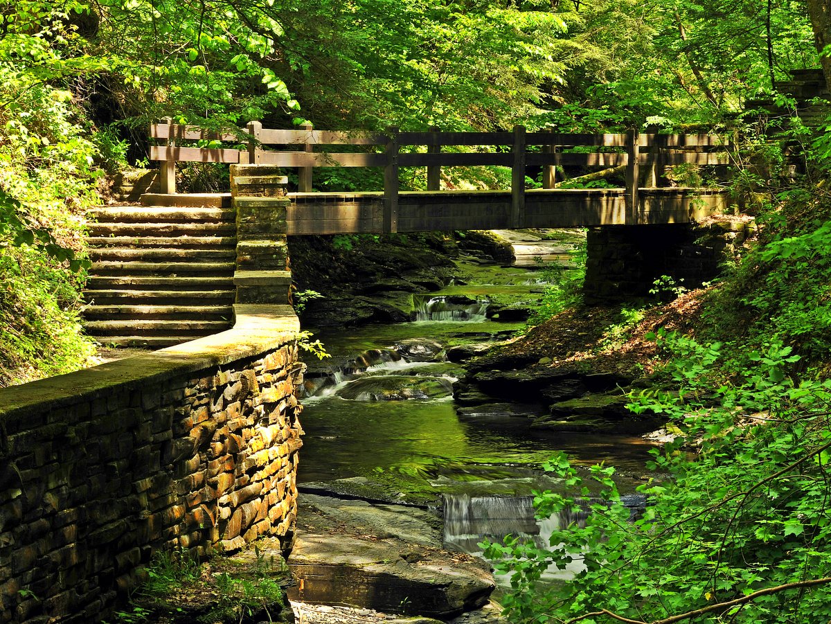
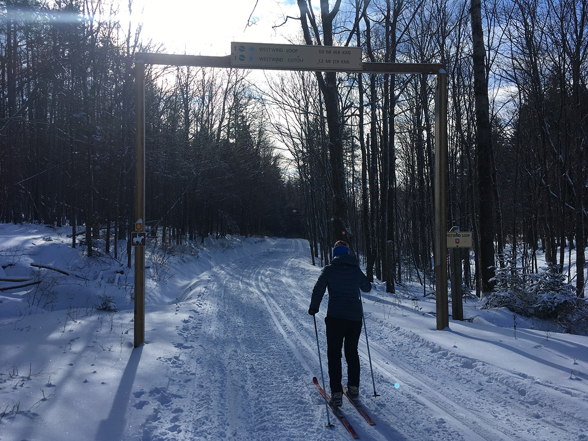
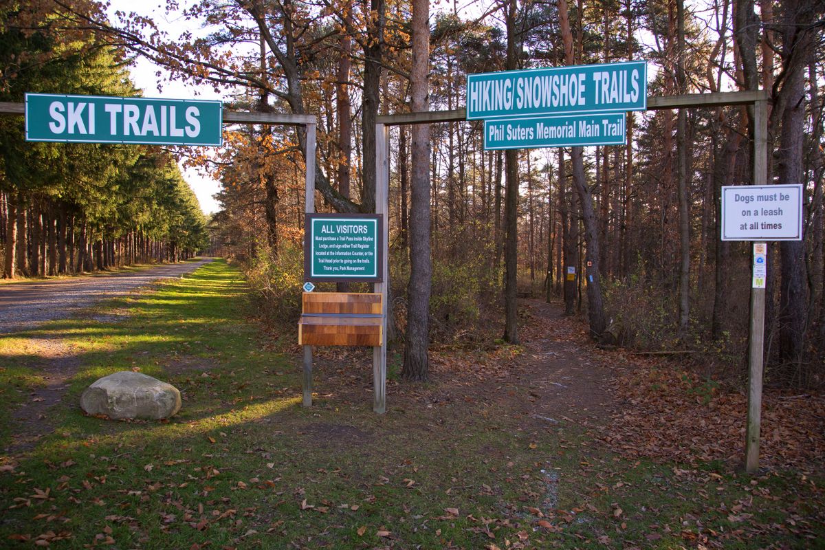
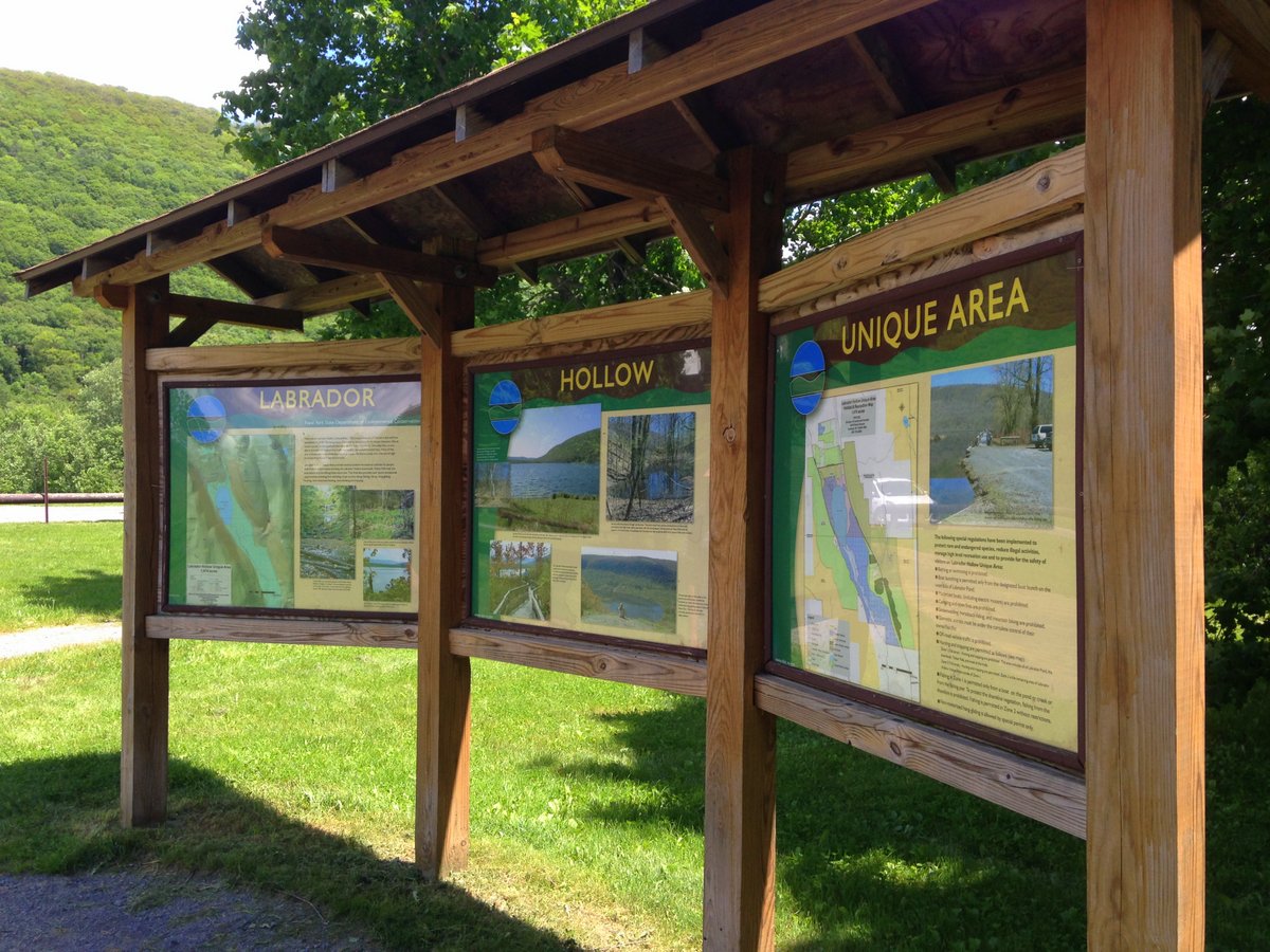
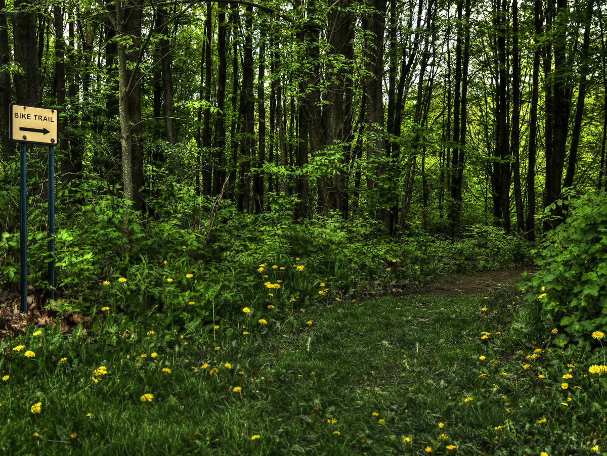
Trails are laid out in different loops that occasionally connect.  Each trail is well marked, has its own color, and also provides an indication of trail difficulty — difficulty being a measure of ruggedness and elevation change rather than distance.  All the trails within the park boundaries are multiuse, very well-built, and stable.  An accurate color map is available at the admission booth (note: admission and use of the park are free with the exception of camping) and is quite handy when planning which route to take.

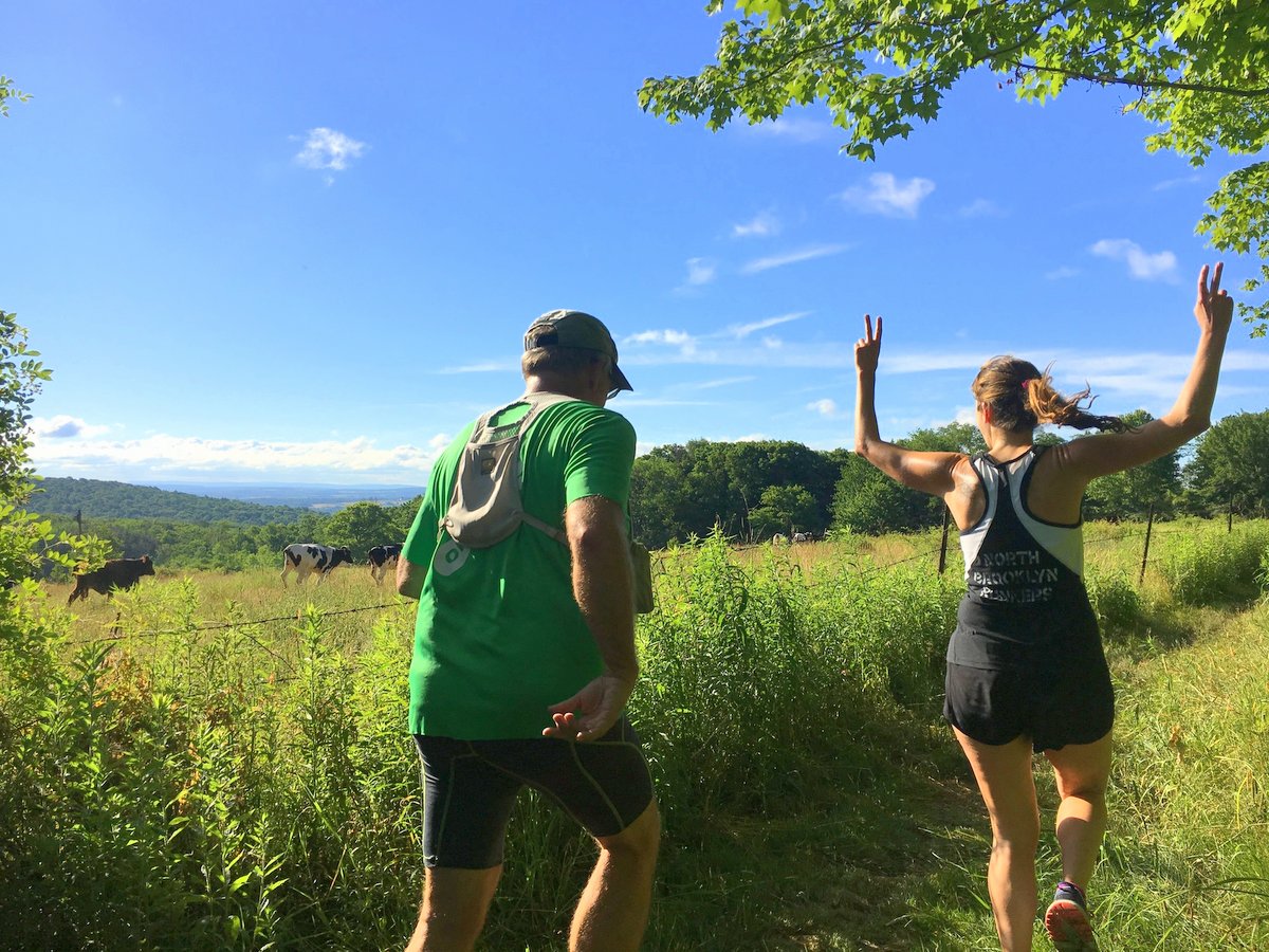
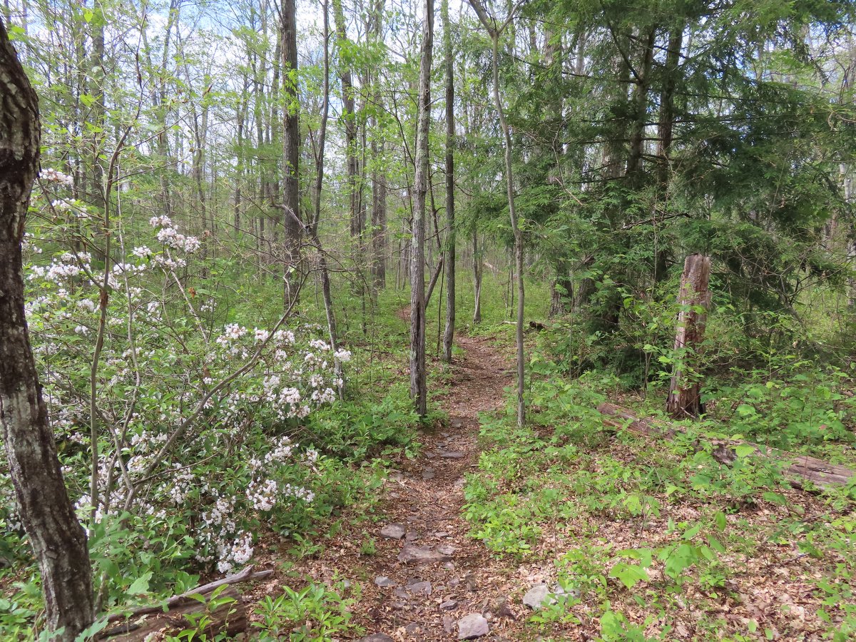
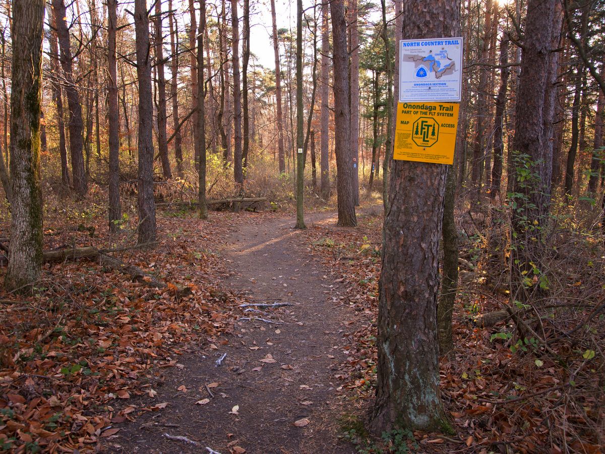
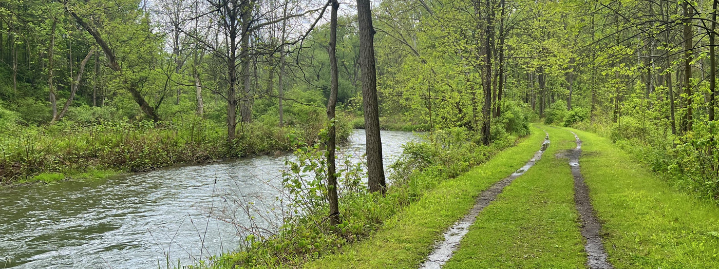
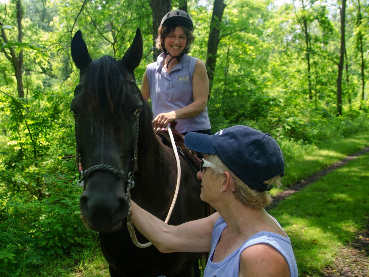
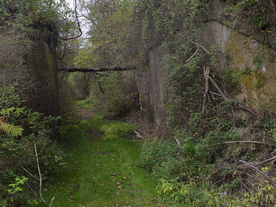
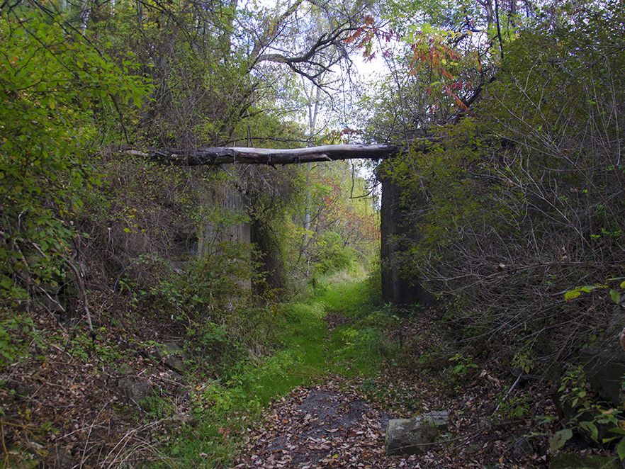
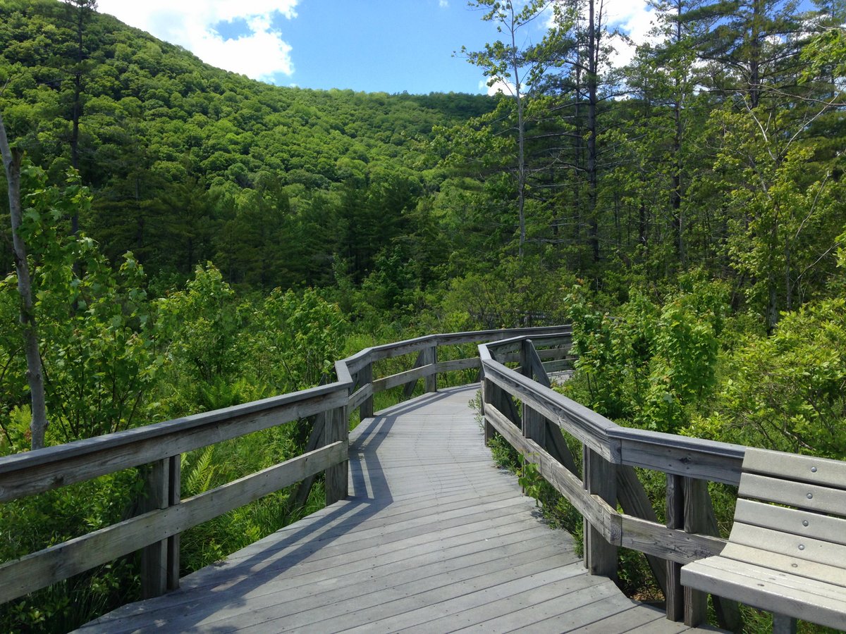
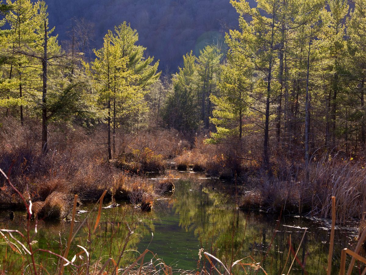
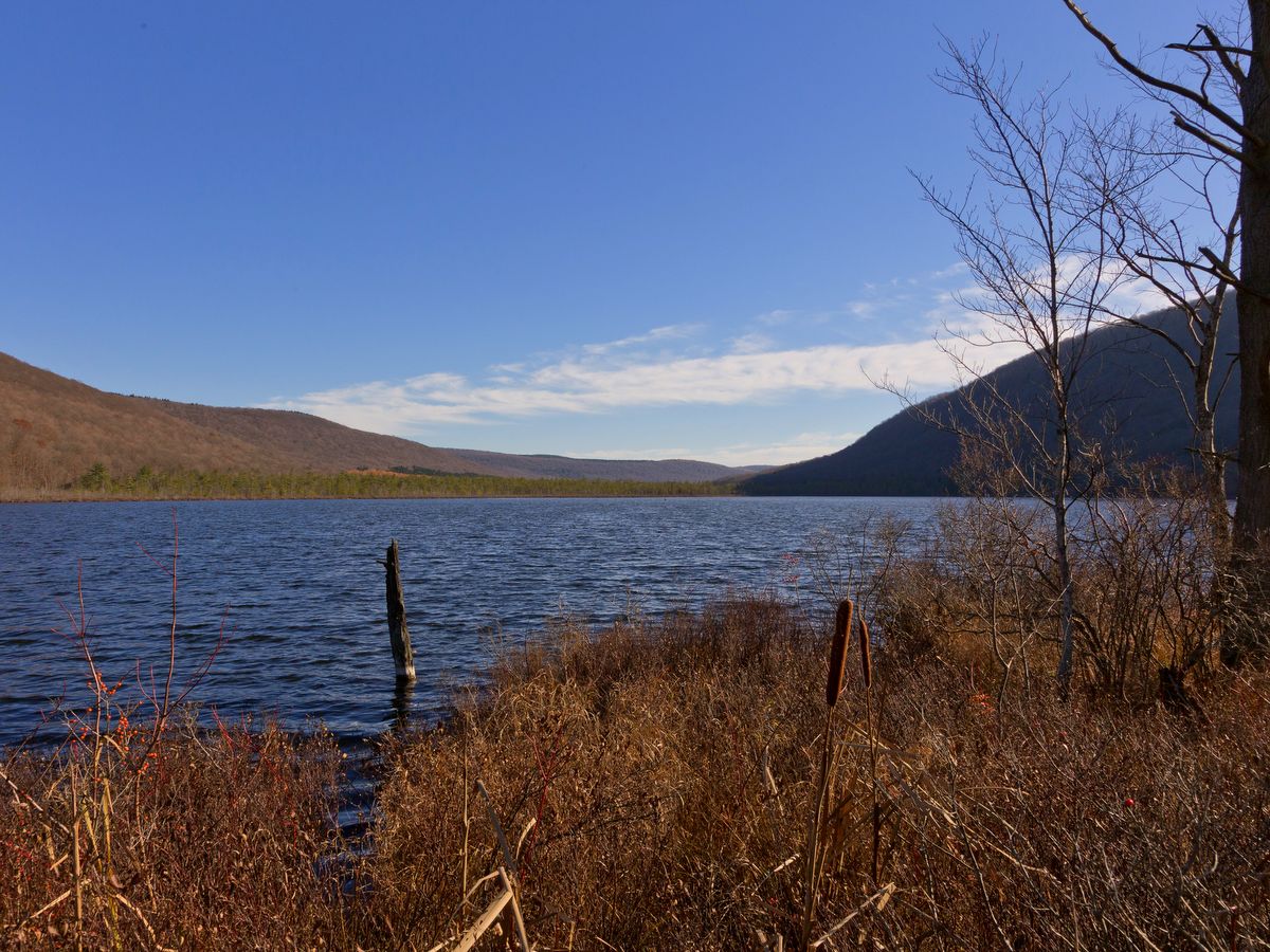
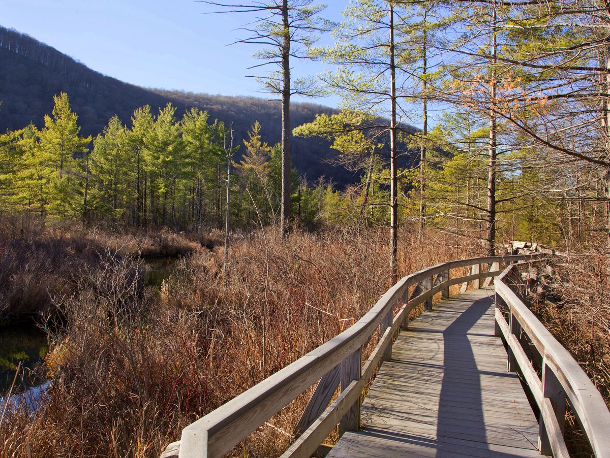
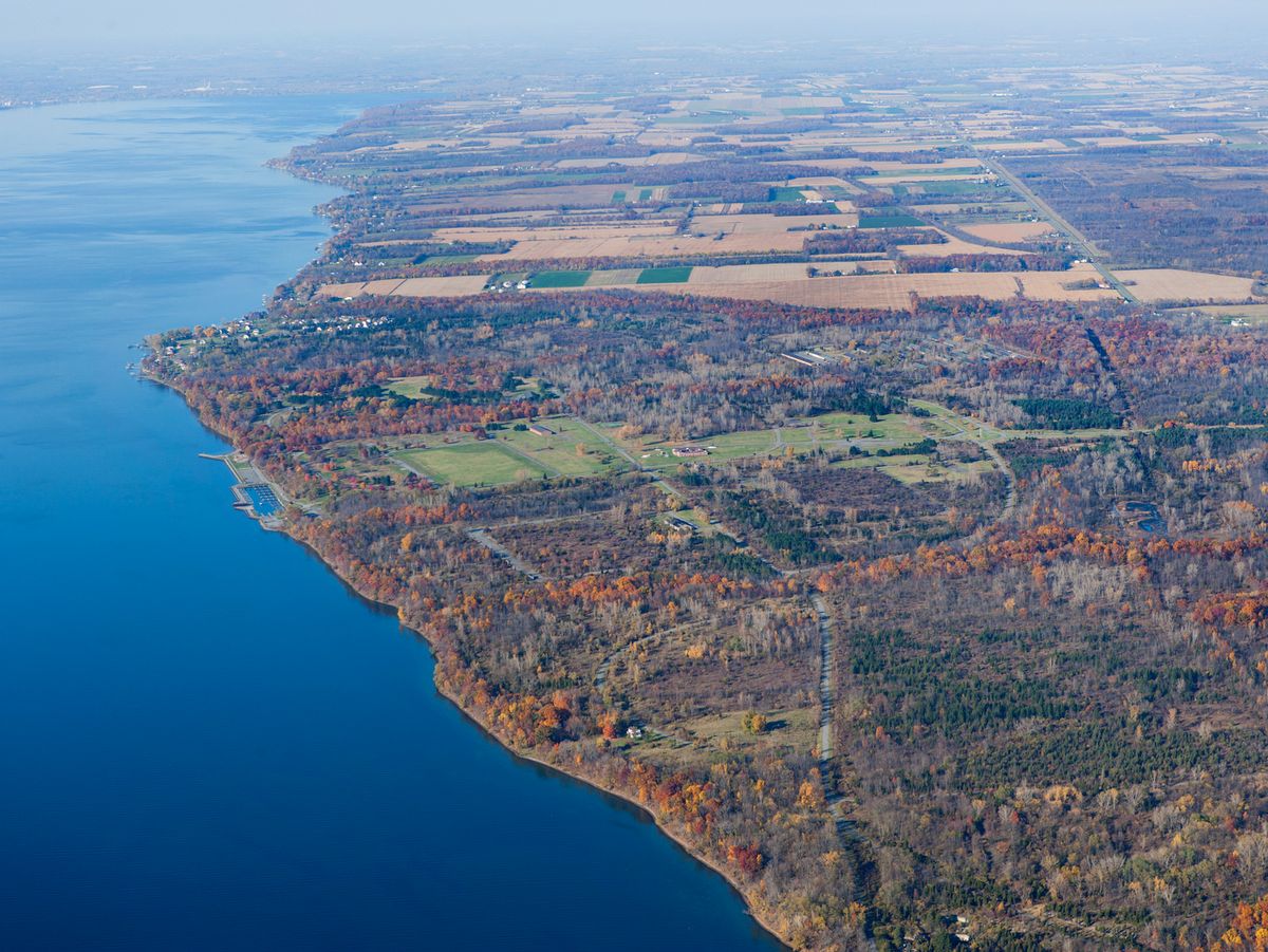
The trail network actually extends beyond the park boundaries along the Bristol Hills Trail, a spur of the Finger Lakes Trail.  This branch trail snakes its way through several parks, state forests, and wildlife management areas.  It totals roughly 55 miles from Gannett Hill in the north to the main Finger Lakes Trail in Mitchellsville to the south.  The trails beyond the park boundary are for foot travel only, and you will certainly notice the change as access is through tight V-shaped structures that preclude anything but hikers from passing further.

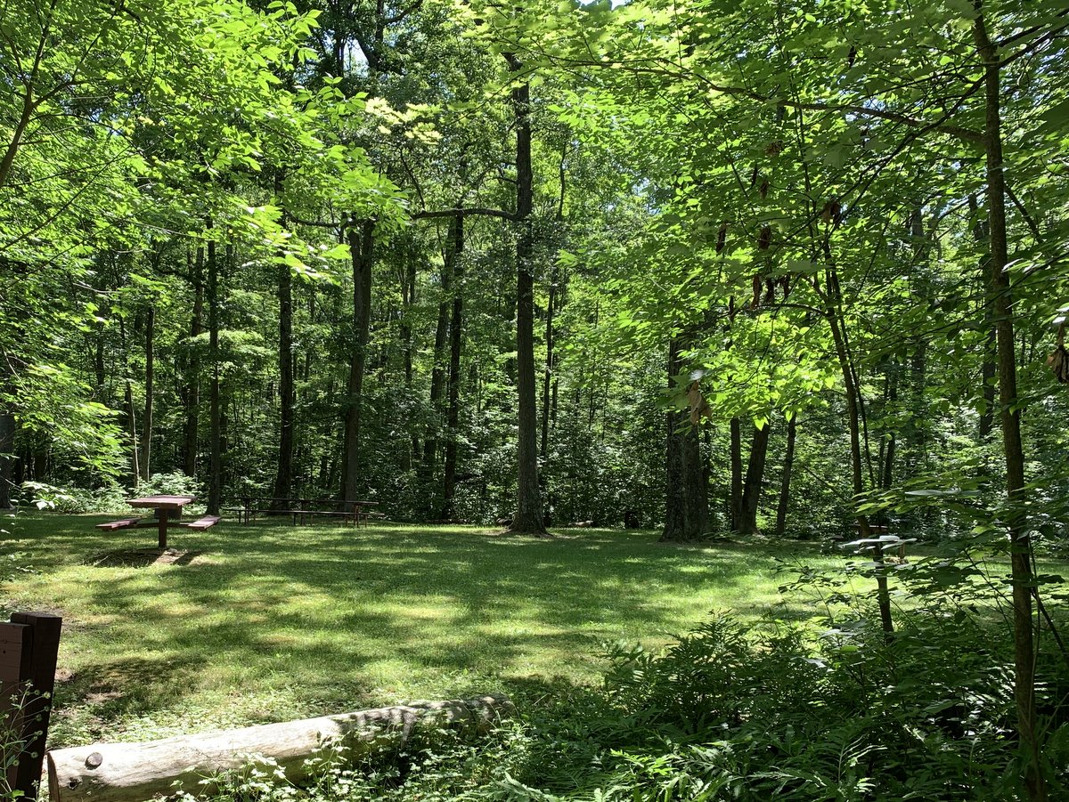
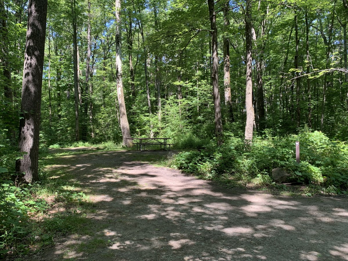
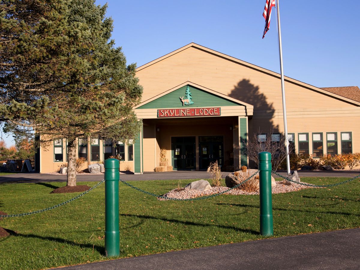
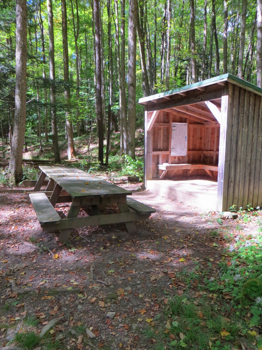
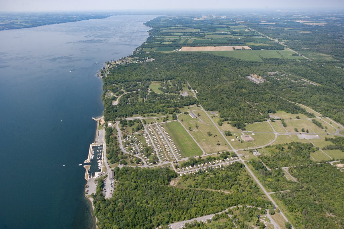
Here you will find many common community parks features: picnic areas, ball fields, restrooms, play structures, and pavilions; but Gannett Hill goes one step beyond.  The park also has numerous campsites and cabins available so a visit could include an overnight trip as well.  Book campsites and cabins through their website.

Photo: Marybeth Longo

There are no national parks in New York State.  There are national monuments, national recreation areas, and national historical parks (these focus on a single historic site), but no sprawling national parks that preserve the natural heritage.  But there is one national forest here in Central New York — Finger Lakes National Forest.

The distinction between a national forest and national park is that parks are to be preserved essentially “as is” while forests serve multiple functions for the public at large.  Timber stands are managed and harvested, pastures are grazed, and of course, there are recreational activities.  The purpose of national forests, as stated by Gifford Pinchot, first Chief of the Forest Service, is “to provide the greatest amount of good for the greatest amount of people in the long run.”

Wooded glens and open pastures comprise the majority of the landscape in the Finger Lakes National Forest where the wooded areas are similar in character to state forests, managed by the Department of Environmental Conservation. However, the pastures are what make these trails distinct from those in other forests.  As is the case on many federally owned lands, grazing is permitted.  Hikers will find that they share the pastures with cattle during the months of May to October, and must use a series of locking cattle gates when venturing in and out of the fields. Aside from the oddity of bovine accompaniment, the pastures offer excellent vistas that are especially beautiful in the fall when the hills across Seneca Lake are emblazoned with autumn colors.

The forest is home to over thirty miles of trails which have a mixture of uses ranging from hiking, mountain biking, skiing, snowshoeing, and horseback riding.  The trails vary from roads and worn footpaths in the forest to sunken ruts or merely painted stones in the fields.  Though a short portion of the Finger Lakes Trail (FLT) crosses the southern boundary of the forest, much of the trail system is closely tied to the twelve-mile north-south-oriented Interloken Trail — a branch trail along the FLT.

There are four tiers of trail usage that progressively allow more activities.  The first begins with foot traffic only and includes the FLT, most sections of the Interloken Trail, as well as the Gorge and Ravine Trails.  The next tier adds skiing and horseback riding and includes a short section of the southern part of the Interloken Trail.  Mountain biking is added to the next tier and is allowed on the northernmost section of the Interloken Trail.  Finally, all the preceding, plus snowmobiling, are allowed on the final group of trails which includes the Burnt Hill Trail, Backbone Trail, and the No Tan Takto Trail.

The Interloken Trail forms the central axis through the forest while the other trails are either side loops or form parallel north-south oriented trails.  The trails can be combined to create longer loops or extended backpacking trips. Occasionally, brief treks along the east-west oriented roads which bisect the forest are necessary to form the loops, but the roads are infrequently traveled so hikers need not worry about losing the serene setting too much.

Finger Lakes National Forest is home to three campgrounds: Backbone Horse Camp which is mainly for equestrians, Potomac Group Campground which is for group camping (groups range 10-40 campers such as boys scout troops), and Blueberry Patch Campground which has nine primitive campsites.  Note that two acres around the Blueberry Patch Campground are actually managed to foster blueberries, raspberries, apples, and other fruits, so foragers and locavores might want to plan the timing of their trips accordingly.  Backpackers may camp anywhere within the national forest as long as they are not less than 50 feet from streams, ponds, trails, and developed areas, and secondly, not within the pastures from May through October.

Photo: Nigel Kent

Not every waterfall and gorge trail is located in Ithaca.  Approximately twenty miles north, in the quiet village of Moravia, is another beautiful gorge park — Fillmore Glen.  It features campgrounds, a swimming area, and of course a deep gorge with stunning waterfalls just like its southerly brethren: Buttermilk Falls, Robert Treman, Taughannock Falls, and Watkins Glen State Parks

Like these other iconic parks, the trails and infrastructure at Fillmore Glen were created and enhanced by the Civilian Conservation Corps (CCC) in the 1930s.  Stone-walled paths, numerous bridges that crisscross the oddly named Dry Creek, and stone staircases are all beautifully and thoughtfully blended with the stunning natural setting.  The whole family will enjoy the natural marvels along the trails with plenty of picnic tables and pavilion spaces to spend a day in the park.

Three trails are available to explore: the north rim, the south rim, and the real gem — the gorge trail.  While the rim trails are open year-round, the gorge trail is only open from late spring to late fall. Its closure is predictable, but trail opening varies depending on the damage winter, and subsequent spring-time floods, have had on the narrow gorge.  Fortunately, spring cleaning rarely extends past late May and trail openings are regularly posted on the park’s web site.

The wooded gorge, with its cool waters, provides welcome relief during the hot and hazy days of summer.  Hikers are not the only creatures who have sought this refuge.  Rumor has it that before the state acquired the park in 1925, cows from nearby farms would often wander into the gorge seeking relief.  Perhaps not the most noteworthy tale, but it is memorialized by the first-named natural feature in the park — the “Cowsheds” — a water-carved stone amphitheater encompassing the first waterfall.  It’s another stunning example of the Finger Lakes’ unique geology and the ways water has sculpted the region.  In the amphitheater, we see a hard and erosion-resistant limestone capstone that sits above softer shale layers that have been carved away underneath.  See similar phenomena at Carpenter Falls Unique Area, Tinkers Falls in Morgan Hill State Forest, and Taughannock Falls State Park.

The first falls, sometimes called Cowsheds Falls or simply First Falls, are wheelchair accessible while the other parts of the gorge are only reached after a brief but steep climb.  After the initial climb, the trail through the gorge is relatively flat and easily negotiated.  Further along the gorge are several stunning smaller cascades and waterfalls that culminate with the tallest falls, Dalibarda Falls, followed shortly after by Upper and Lower Pinnacle Falls.  These last pair of waterfalls lies in a visually striking square-cut section of the gorge near the terminus of the gorge trail.

Late spring, early summer, and/or after periods of heavy rain are the best time to see the waterfalls in their most torrential states.  However, autumn is also a notably beautiful time to visit, either when the leaves are emblazoned with contrasting colors or just after fallen leaves reveal parts of the gorge previously hidden from view by the dense understory.

The park is named after the 13th president of the United States, Millard Fillmore, who came to office in 1850 after Zachary Taylor died in office.  Fillmore was born roughly five miles away from the park, founded the University of Buffalo, and has several dubious political distinctions.  First, he was the last Whig president.  Second, he was the only Whig president not to die or be expelled from his party while in office.  Third, he is one of five presidents who did not receive their party’s nomination as a candidate when actively seeking reelection.  A replica of the log cabin he was born in is located near the main parking area and pavilion which is easily overlooked due to its surprisingly diminutive size.

Photo: Monika Wood

Five miles west of Corning, the Erwin Wildlife Management Area (WMA) features over 2,507 acres of prime wildlife habitat and more than ten miles of trails.  Deep gullies with hemlock-shaded streams add a primeval feel in sections, while deciduous forests in various states of succession make up the majority of the woodland.

The forest is predominately oaks, whose nuts are a vital source of nourishment for wide variety of animals including deer, bears, turkey, and grouse. Several small ponds also help to support wildlife.  Unlike state forests that are managed with forest products as a major decision factor, wildlife management areas’ primary goal is, as expected, fostering habitat for wildlife.

Since the oaks in many parts of the Erwin WMA had reached their maturity, the DEC decided to cut vast sections of the forest in order to foster new growth of this important mast-producing tree.  Oaks are shade-intolerant, so once they begin to decline, more shade-tolerant species such as maples, take over and shade-out oak regrowth.

The successional growth is well underway in portions of the forest and provides an interesting perspective on forest ecology.  Differences in management techniques are not the only differences between state forests and WMAs that outdoor enthusiasts should be aware of.  For example, camping is not permitted in WMAs so thru-hikers should plan accordingly.

Many hikers in the Finger Lakes region are probably familiar with the Finger Lakes Trail (FLT) and the mostly concurrent North Country Trail (NCT).  Some may even be familiar with their more popular branch trails, e.g., the Bristol Hills Trail, the Onondaga Trail, and the Interloken Trail.  But how about the Crystal Hills Trail?  The Crystal Hills Trail (CHT) is a more recent entry onto the list of long trails in New York.  Similar to the NCT, the CHT extends far beyond New York.  It is actually a part of the Great Eastern Trail (GET), which is a north-south-oriented trail extending from New York to Alabama.  If that sounds familiar it is because it parallels the Appalachian Trail, which also starts in the south, specifically Georgia, but ends in Maine.

The CHT is only a small portion of the trails available within Erwin Wildlife Management Area.  Most of the trails that crisscross the unit are one-way but can be combined with the rustic access roads to form loops of varying lengths.

Photo: Matt Champlin

Long trails are in short supply in the Finger Lakes and Central New York.  Loop trails as well. Fortunately, Highland Forest has plenty of both.  The extensive network of trails — over twenty miles of hiking/snowshoeing trails and many additional miles of mountain biking/skiing trails — intersects numerous wooded streams and rolling terrain through a variety of deciduous and coniferous forests.  (Note: hiking trails are also used by equestrians.)

The two types of trails are separate but crisscross each other frequently, making trail intersections more a common occurrence than a landmark.  There are so many route options within the two interwoven networks that long, difficult treks, as well as short interludes, can be enjoyed by all levels of hikers and cyclists.

With so many options it may seem that picking a route or finding your way would be a tad daunting.  But rest assured the separate trails are well marked — square for the hiking/snowshoeing trails and diamonds for the biking/skiing routes.  There are also a plethora of location markers along the various routes so finding your way is fairly straightforward.  Additionally, numerous lean-tos along the loops provide great stopping spots and have maps inside, providing yet another way to find your location and gauge your progress.

The North Country Trail (NCT), a trail that runs from North Dakota to the eastern edge of New York, bisects the park.  The NCT connects the Finger Lakes with the Adirondacks, which is a fitting connection as Highland Forest is often described as an Adirondack experience in the heart of Central New York.  At over 2,700 acres, this Onondaga County park rivals many state forests in size and has a similar remote, deep forest setting.  Unlike state forests, there is very limited camping and hunting (bow hunting is allowed by park permit only), and parks hours are essentially dawn to dusk.

Another way the park really shines is easy access to alternative outdoor activities.  This is a great place to get outside and try something new while enjoying nature.  Cycling surfaces vary from country roads to forest riding trails and include three levels of difficulty, providing a wide variety of options and experiences.  Furthermore, snowshoes and skis are available to rent at the lodge. Outfitters offer horseback riding trips during the summer while horse-drawn sleigh rides are available during winter.  Cabins and campsites are available for youth groups such as Boy Scout troops.  So there is ample reason to revisit the park throughout the year to explore and expand your experiences in this deep forest setting.

Photo: Bill Hecht

Sprawling westward from Syracuse, reaching Rochester and beyond, is a broad contiguous lowland.  The glaciers scoured this area clean, but as the great ice sheets receded they stalled, and “super” versions of present-day Lake Ontario and Lake Erie were trapped between the northern ice sheet and the southern Allegheny Plateau.  Hence, this region is characteristic of a lake bottom; flat and mostly featureless.

Now, if someone told you about a 3,500-acre island in the center of this lowland, it would sound awfully familiar to the “swampland” real estate scams of Florida in the 1960s and 70s.  But the island does indeed exist, thanks to another highly transformative power in the Finger Lakes region:  the canal construction boom of the nineteenth century.

The broad Seneca River aligns nearly perfectly west to east for much of its course.  As such, its incorporation into the Erie Canal System was inevitable.  To bypass one sweeping section of the river, a more direct canal was constructed.  The result is the virtually landlocked Howland Island.  The island makes up more than forty-five percent of the 7,700-acre Northern Montezuma Wildlife Management Area (NMWMA), which in turn is part of the Montezuma Wetland Complex (MWC) that also includes the Montezuma National Wildlife Refuge, the Montezuma Audubon Center, Nature Conservancy lands, and a few other smaller parcels of protected land.

The trail system in the NMWMA is almost entirely on Howland Island and consists of interconnected gravel access roads.  The roads follow or encircle many of the man-made ponds and lie mostly in the open.  The trails do occasionally delve into the sporadic woodlands that line some of the ponds’ shores, but generally, that is the exception rather than the rule.  It’s a pleasant change from the heavily wooded trails found elsewhere in the region, but adventurers should plan for full exposure for not only sunny but windy days as well.

The network has over seventeen miles of trails and multiple combinations can be used to shorten or lengthen treks along interconnected loops.  Whether by foot, bike, or skis, visitors are sure to see an abundance of wildlife year-round, but periods of peak migration will bring immense flocks of migratory birds.  Similar to the nearby wildlife refuge, birding is excellent, but the island offers more chances to get up close for that perfect photo.  Visitors should be aware hunting is allowed in the wildlife management area and it is a popular activity in late fall, so planning a trip to this gem in the off-hunting season might be prudent.

Exploring the whole island along the various routes will likely mean multiple visits, but even that won’t give the full experience.  Paddlers will enjoy both the river and canal with the added benefit that this is a “round” river trip.  This type of configuration means you can paddle the river and canal and end up right where you started without retracing your course.  As expected, these experiences are very rare and make planning a trip easy; there is no need to plan a shuttle or make other arrangements to get back and forth.  The entire circuit would be 9-10.6 miles and this includes the Seneca River, the Swift Water Channel, and the Erie Canal.

Longer trips can be created by navigating further along the Seneca River and looping back along the Erie Canal further to the southwest.  While larger powered boats will be encountered along the canal these large boats tend to avoid the river due to thick weeds and other obstructions.  The Montezuma Audubon Center, the informational hub for the Wetland Complex, offers regular, naturalist-guided, paddling trips to further enhance the experience.

Note: paddling at Howland Island should be undertaken in late spring or early summer as the growth of aquatic vegetation makes the trip difficult later in the year.

Photo: Andy Zepp

Keuka Lake is the odd little duckling of the Finger Lakes; but, it is not the “ugly” duckling by any stretch!  Instead, Keuka Lake is beautifully unique and, though it shares much with its fellow “fingers,” it is set apart by its peculiar shape.  Early settlers called this the “crooked lake” because, unlike the long and sinuous, finger-shaped lakes, Keuka Lake is forked and shaped like a Y.  The odd shape is one of its many unique features, but more pertinent to outdoor enthusiasts is that Keuka is the only Finger Lake that drains into another.  This gave rise to the Outlet Trail.

During the mid-19th century, canal-building swept New York and the outlet connecting Keuka Lake to Seneca Lake held great commercial promise.  A six-mile-long canal, known as the Crooked Lake Canal, connected the two lakes and fostered growth in existing mills and the creation of associated businesses.  But like many other canals across the state, the canal was abandoned and a railroad took its place.  Since it followed the winding towpath, the new rail line was sometimes referred to as the Corkscrew Railway.  In 1972, Hurricane Agnes washed away the tracks, and its use as railroad ended.  Late in the twentieth century, recreation advocates blazed the way in repurposing the towpath and rail-bed into the Keuka Lake Outlet Trail — one of the best multiuse trails in the region.

The canal and rail bed have long been abandoned but a winding stream remains and accompanies hikers, runners, bikers, and even equestrians along the 6.8-mile route.  Along sections of the outlet, mostly at the eastern end, are the remains of old mill buildings and locks.  In addition to the serene stream and lush woodlands, there are also two impressive waterfalls.  The most notable is Seneca Mill Falls located at about the midpoint of the trail near the pavilion at the Lion Bruce Hansen Memorial Park.  Many people stop here to view the falls and picnic.

Deteriorating masonry walls, dozens of feet tall, abut the stream both downstream and upstream of the falls, so caution should be used when trying to view the falls and outlet at this point.  Indeed all the abandoned buildings found along the stream are deteriorating and should be viewed only from afar (see more about how to be safe when hitting the trails).  Exploring the buildings is prohibited and unwise in their current condition, but they do add an interesting glimpse into the past and stark juxtaposition of the persistence of what nature and man have made.

Not surprisingly the Keuka Lake Outlet Trail, often referred to as simply the Outlet Trail, follows a generally downhill course from the outlet of Keuka Lake in Penn Yan to the inlet along Seneca Lake in Dresden.  The trail varies from paved sections in Penn Yann to broad stone dust paths to mixed gravel to worn single track.  Some sections are considerably rougher than others and mountain bikes are recommended for cyclists.  But even along the sections with a single worn path, the trail-base is broad and two can travel abreast which also makes passing the many other travelers along the trail easy.

The trail is maintained and owned by the Friends of the Outlet, Inc., a nonprofit group, who publish detailed maps and a guidebook of the trail that highlights the points of interest and rich history that can be observed along the trail.

Equestrians often frequent the trail and since horses are not a common occurrence along many trails, it may be prudent to brush up on trail etiquette when encountering a horse.  When the riders approach, whether you are on foot or bike, stop moving and step aside to give the horse and rider a chance to pass.  Step off the path, on the downhill side if possible, giving the animal plenty of room.  Speak to the horse and rider as they approach so that the horse recognizes you as human and nothing to be afraid of; a friendly “hello” will do.  Do not make any abrupt movements when the horse passes.  When approaching from behind, announce your presence from as far as possible so that you do not startle the horse.  Only pass when the rider says that it is safe.  Pets should always be kept on a leash and held as far away from the horse as possible.

Photo: Chris Ray

The most popular destination in Labrador Hollow is the universally accessible, quarter-mile path to Tinker Falls.  Tinker Falls is a stunning example of a “hanging” falls.  Its origin dates back to when New York and much of the North American continent was part of an inland sea.  As ancient mountains slowly eroded away, layers of sediment accumulated in the sea.  The particulate carried into the sea often segregated based on weight according to distance and depth.  Heavier particles, like sand, settled out in shallow sea waters while lighter silt settled in deeper waters.  The sand, under the ever-increasing pressure from the layers above, eventually transformed into sandstone, while silt transformed into siltstone or shale.

Since sea depth fluctuated over the eons, layers of sandstone and shale would often intermix.  Millennia later, as these layers from the ancient sea bed were uplifted and again exposed to the surface, the disparity between sandstone and shale’s erodibility unfolded into a dramatic topographic feature.  Streams would erode the landscape down to the more resistant layers of sandstone, termed a capstone.  But where the persistent water eventually broke through, it dug more easily through the layers of shale beneath.  This discrepancy is one of the factors that created the region’s notable gorges and waterfalls.

Over time, the crumbly shale beneath the crest of the waterfall and behind it would wash away leaving an undercut capstone, a deep crevice behind, and an impressive waterfall.  There are few waterfalls that so effectively display this unique process as Tinker Falls.  (Another impressive example is Carpenter Falls above the Finger Lakes Land Trust’s Bahar Preserve).  The cavern behind the falls is 100 feet wide, 30 feet deep, and 30 feet high.  Walking behind it is possible if you are brave and agile enough to climb the steep, unstable, crumbly shale that surrounds it.

Second in popularity, and perhaps also in scenery, is the climb to the Jones Hill hang glider launch.  From this vantage point, you can look down upon the hollow and Labrador Pond, at one of the few truly scenic hilltop vistas available along trails in the Finger Lakes region.

The hollow between Labrador Hill and Jones Hill is so narrow, less than a half-mile, and has such steep hillsides that it lies in shade most of the day.  The result is that the hollow has its own microclimate.  This microclimate is considerably colder than the surrounding landscape and its ecological niche more closely resembles a high mountain Adirondacks bog than of wetlands found elsewhere in the region.  As such, a variety of unique plants inhabit the wetland and small pond.   The hollow and wetlands can be explored along universally accessible boardwalks, which also include an accessible fishing pier.  Quiet water paddlers who wish to explore Labrador Pond can do so from a car-top boat launch about midway down the western shore along Markham Hollow Road.

Labrador Hollow is designated as a Unique Area.  Though similar to state forests, fewer activities are permitted here than in state forests.  One restriction of note for backpackers is that camping is not allowed in the unique area but is allowed in adjoining Morgan Hill State Forest.

Photo: Tim Starmer

A naval base in the middle of New York State might sound like the beginning of a joke, but it is one of those weird quirks of history that led to the creation of Sampson State Park.  As the United States prepared for war in the 1940s there was a growing need for training bases and on May 14, 1942, President Roosevelt approved the construction of the naval base on Seneca Lake.  The base was named after a local Spanish-American War hero William T. Sampson.

After WWII, the base was converted into a college for returning veterans.  It was repurposed yet again during the Korean War as an airfield to train Air Force personnel.  All in all, over three-quarters of a million airmen and sailors were trained at Sampson, and today there is a combined air and naval museum dedicated to this history.

In the 1960s, the land was transferred to New York State, and its new life as a recreation park began.  Hundreds of buildings were dismantled and much of the park is slowly reverting to woodland and fields.  Today its campgrounds, boat slips, and launches, as well as a designated swimming area along Seneca Lake’s shoreline, provide many ways for the public to access and enjoy the Finger Lakes’ largest lake.

Origins and military history aside, what really shines at Sampson State Park for outdoor enthusiasts is the three and half-mile long Lake Trail, much of which follows the shore of Seneca Lake.  Despite hundreds of miles of trails throughout the Finger Lakes region, few of the trails are actually found on the shores of one of the Finger Lakes.  (Another notable exception is at Hemlock and Canadice Lakes).  Here, the access road between the village of Willard and the state park has been designated as a trail and follows within feet of the extraordinarily deep lake; Seneca Lake extends 173 below sea level.

Cyclists will enjoy the lakeside breezes that accompany them as they coast along the Lake Trail road while hikers can soak in a bit more of this unique setting.  More than 1.5 miles of the road is blocked from vehicle traffic so cyclists and hikers can coast and stroll in peace.  The other roads in the park have sparse traffic, so cyclists who want an extended, virtually vehicle-free ride can do so as well.  Note that bicycles are available for rent at the park office if needed.

Along the route are informational placards for a phone-based guided tour as well as numerous benches to relax.  At the benches, the trees are thinned providing open vistas of the lake as well as footpaths that lead down to the rocky shore.  Views of the lake are even more expansive after autumn has striped the wooded roadway of its foliage.

Photo: Tim Starmer

The 576-acre Seneca Meadows Wetland Preserve is a mixture of diverse wetlands and lush prairies, both of which are dwindling habitats in New York.  The seven miles of trails at Seneca Meadows Wetlands Preserve are a series of interconnected loops that provide multiple options for routes and differing trail lengths.

The trail surfaces vary from stone-dust to gravel to wood chip.  The trails are broad and essentially level so hiking, running, skiing, snowshoeing, or bicycling (all of which are permitted) are easy for outdoor enthusiasts with any level of experience.

Cyclists should note that the Main and Blue Heron Loops are the only gravel routes and other routes are not conducive to riding.  The majority of the trails are entirely in the open so don’t expect shade and plan attire and/or sunscreen accordingly.  Unlike some other preserves, pets are allowed at the site so long as you pick up after them and they remain on a leash at all times.

The preserve encompasses several open ponds, vast fields of grassland, and a variety of wetland habitats.  There is an abundance of birding and other wildlife viewing opportunities and several endangered or “vulnerable” species have been seen or are known to live in the preserve.  During the establishment of the preserve, the endangered Indiana bat was discovered roosting on site, necessitating changes to the plan for the site’s habitat creation.  What is most surprising about this site is that much of the habitat preserved here is also habitat that has been created.

During the establishment of the preserve, the endangered Indiana bat was discovered roosting on site, necessitating changes to the plan for the site’s habitat creation.

The preserve was created in 2007 when Seneca Meadows, Inc., began the process of wetland mitigation to counter a 181-acre expansion, 70 acres of which were wetlands.  Typically, when wetlands are destroyed, new wetland habitats need to be created in a ratio of 3 to 1; here, the ratio is closer to 8 to 1.  In all, roughly 1100 acres were preserved, of which 157 acres were existing wetlands, 419 acres were newly created wetlands, and an additional 500 acres of floodwater conveyance wetlands that are connected to the preserve were protected.

The process of enhancing and creating the habitat was extensive and took more than 3 years and 8 million dollars.  Seneca Meadows, Inc., currently owns and operates the site, but the site will be managed by the National Audubon Society so that future generations can enjoy the created wetlands long after the landfill closes, scheduled for 2024.