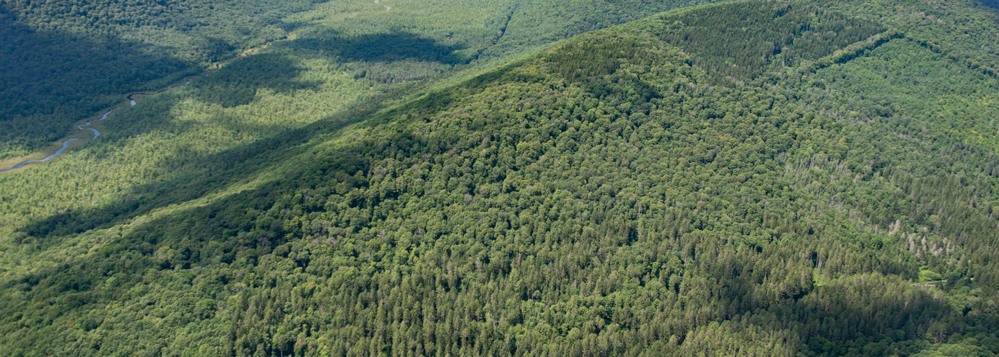
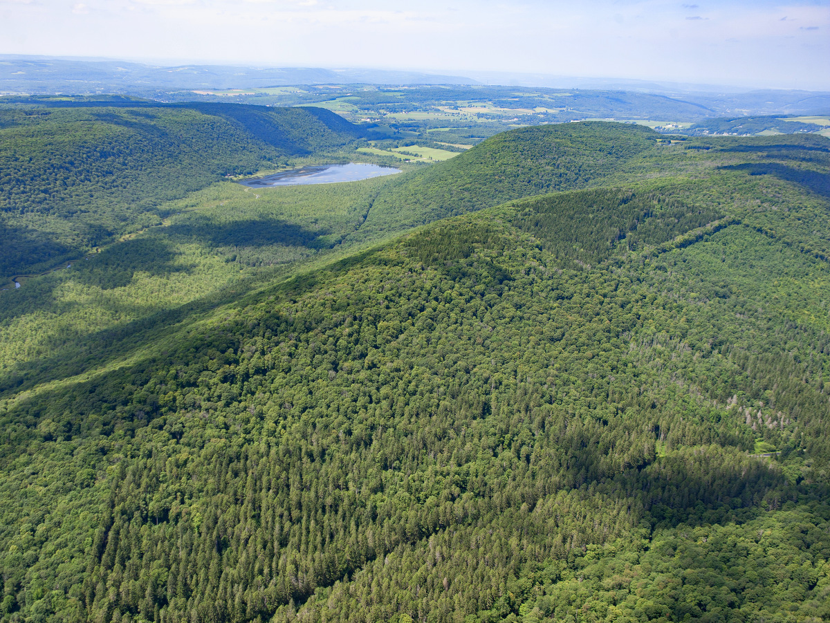
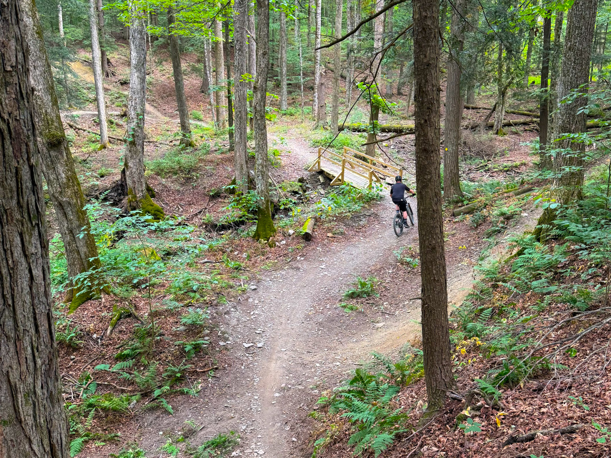
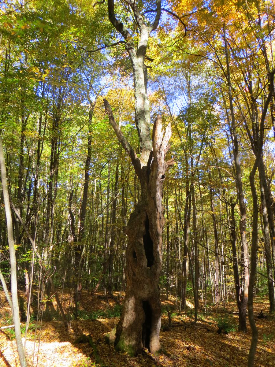
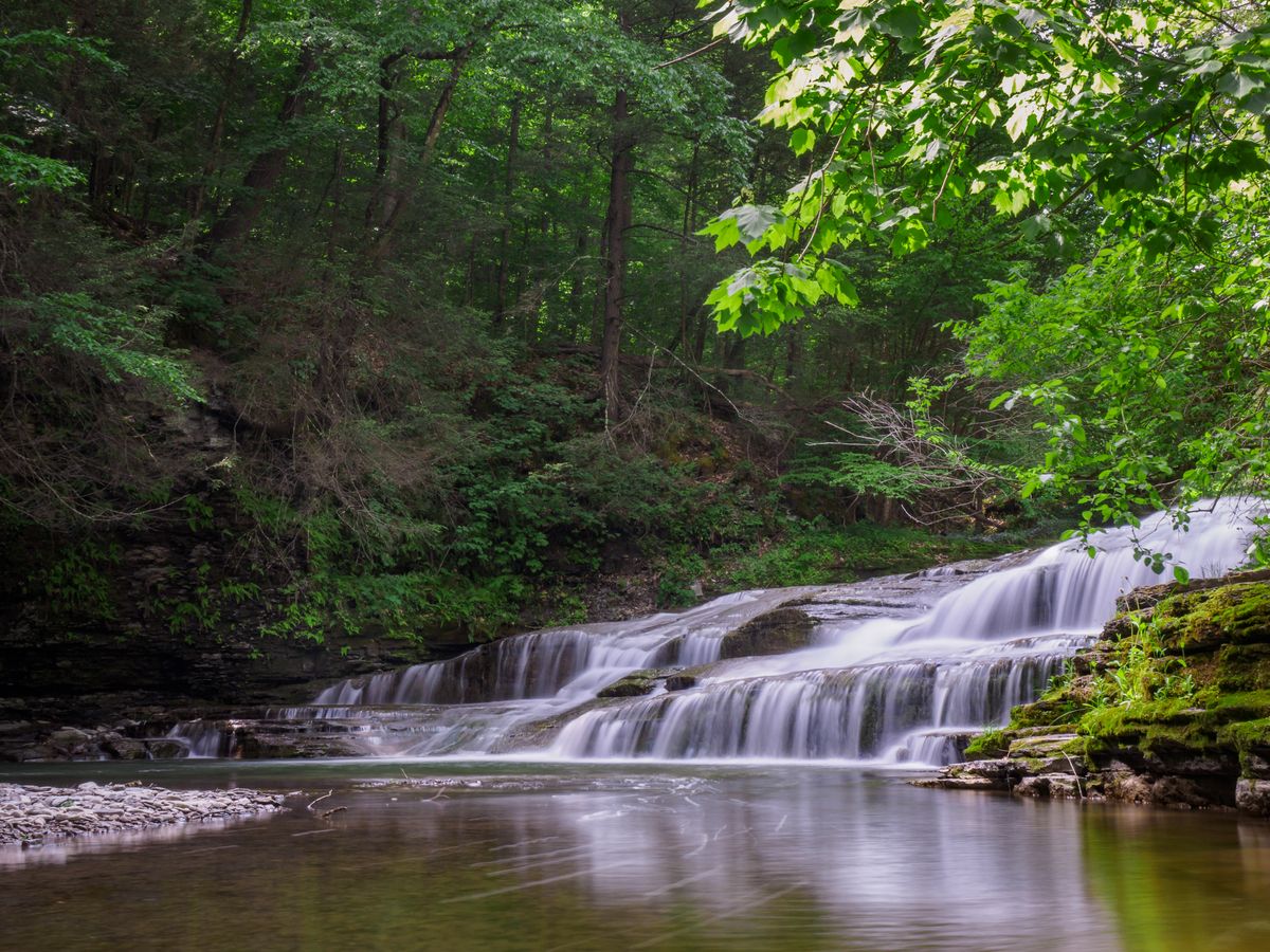
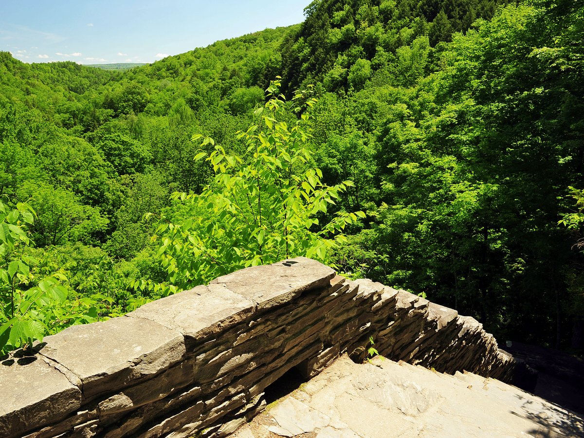
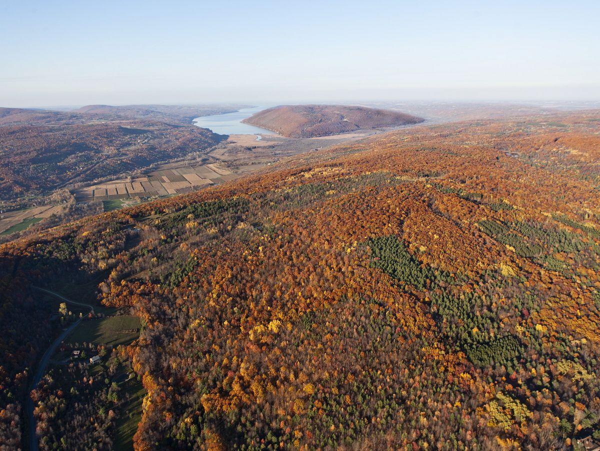
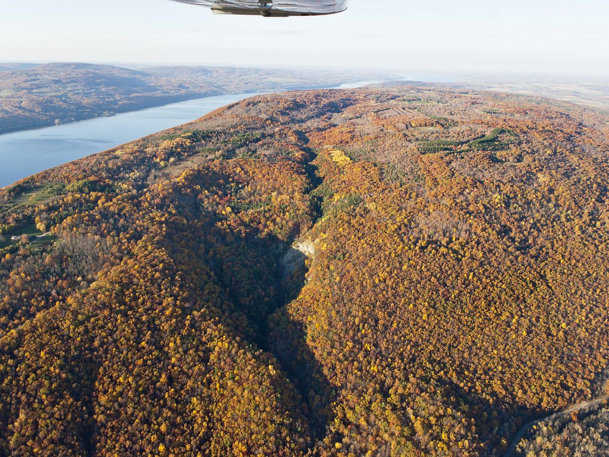
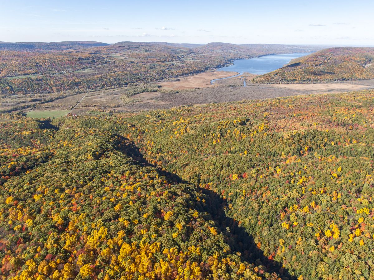
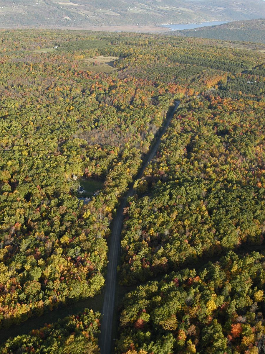
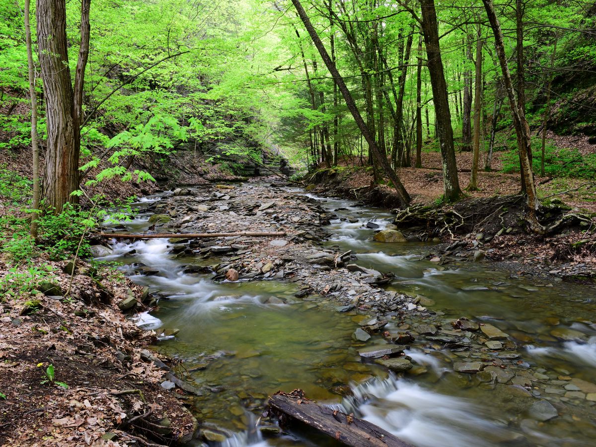
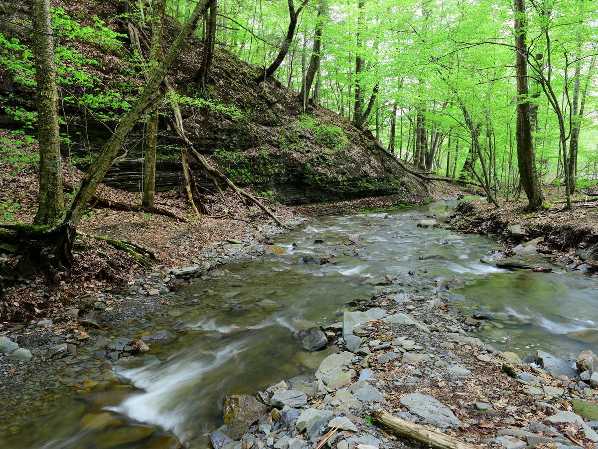
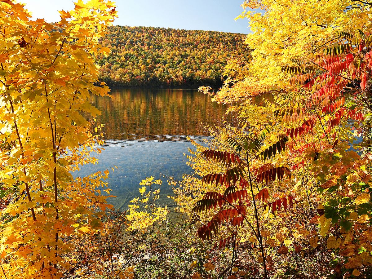
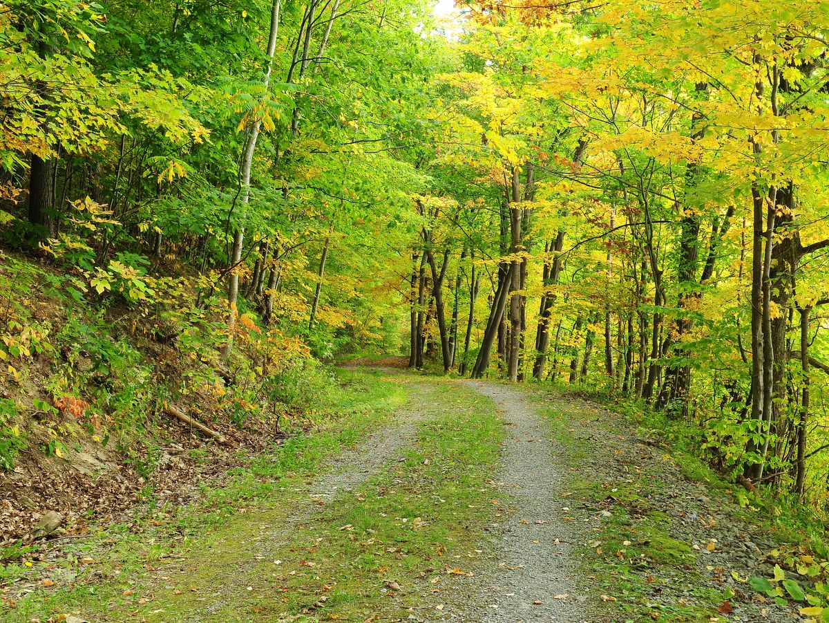
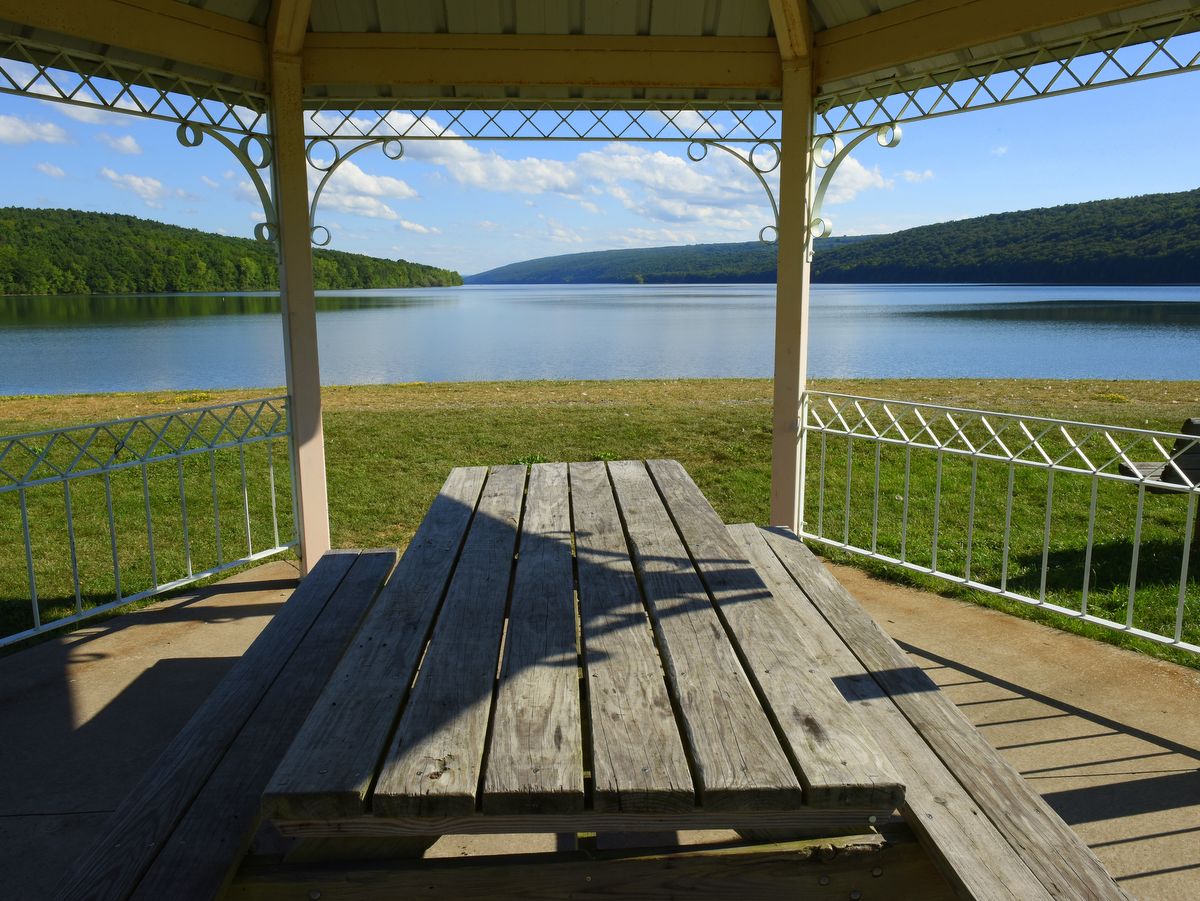
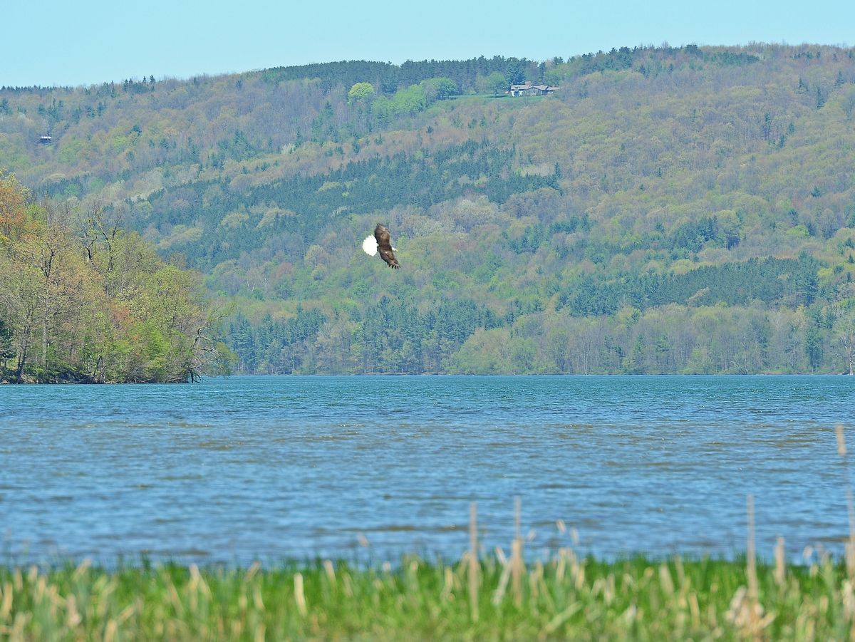
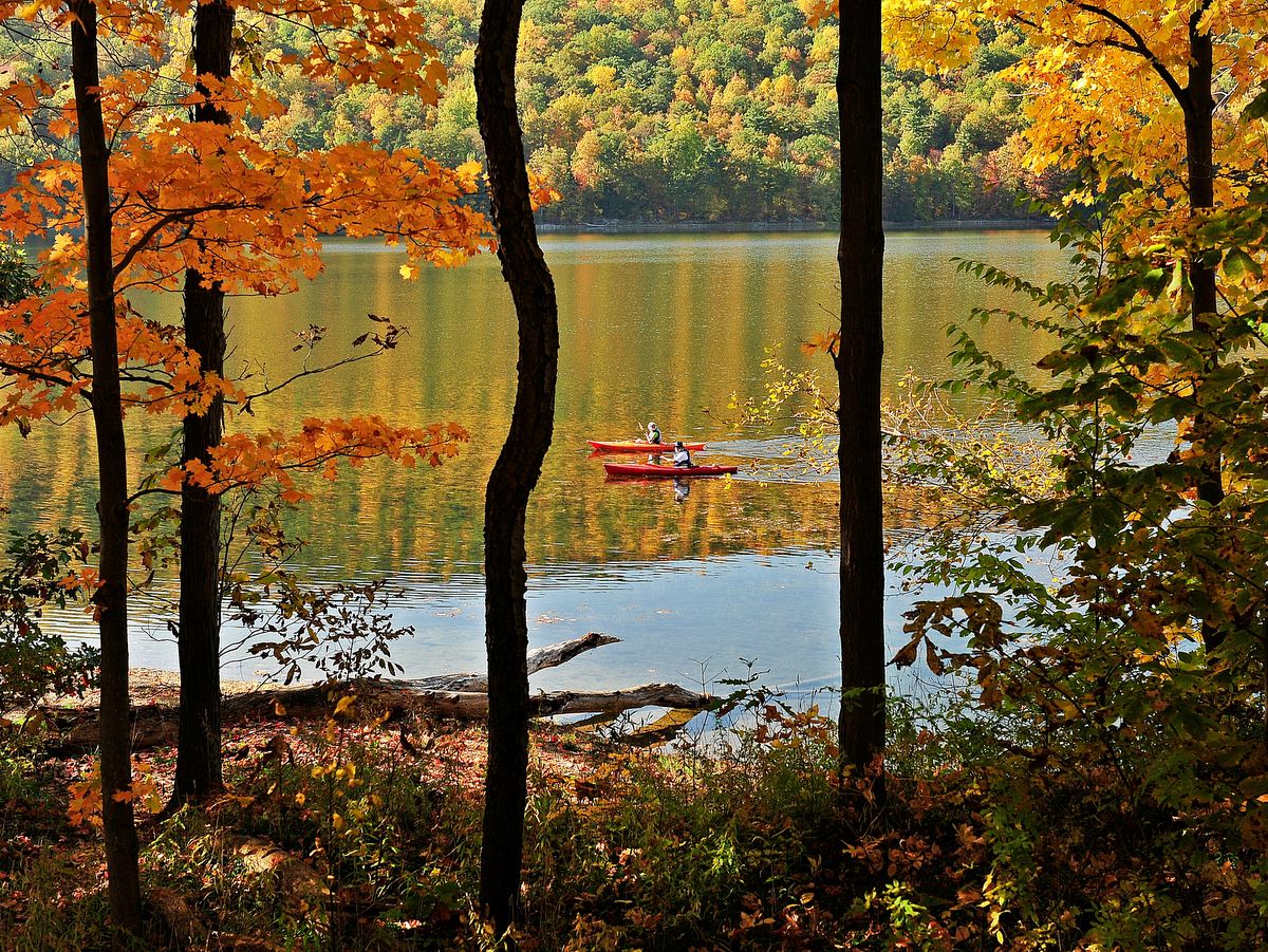
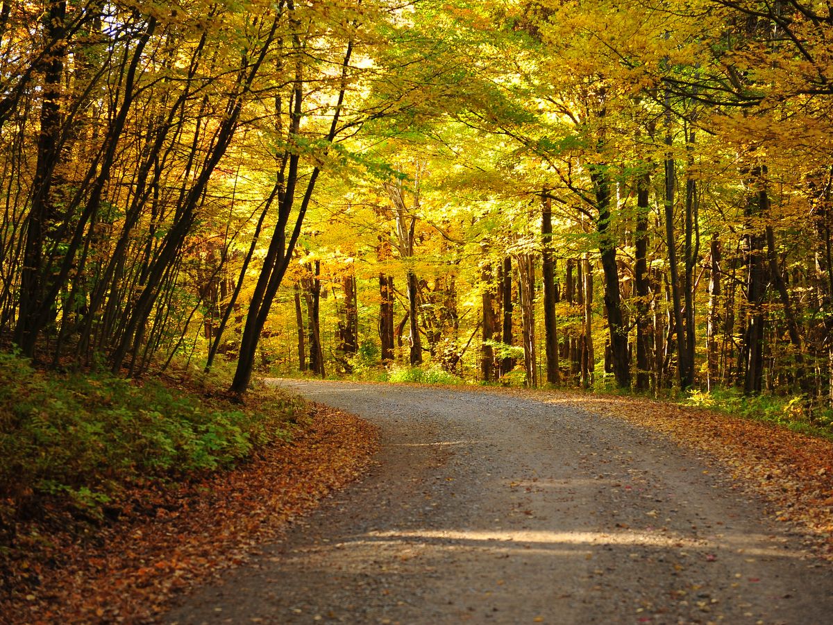
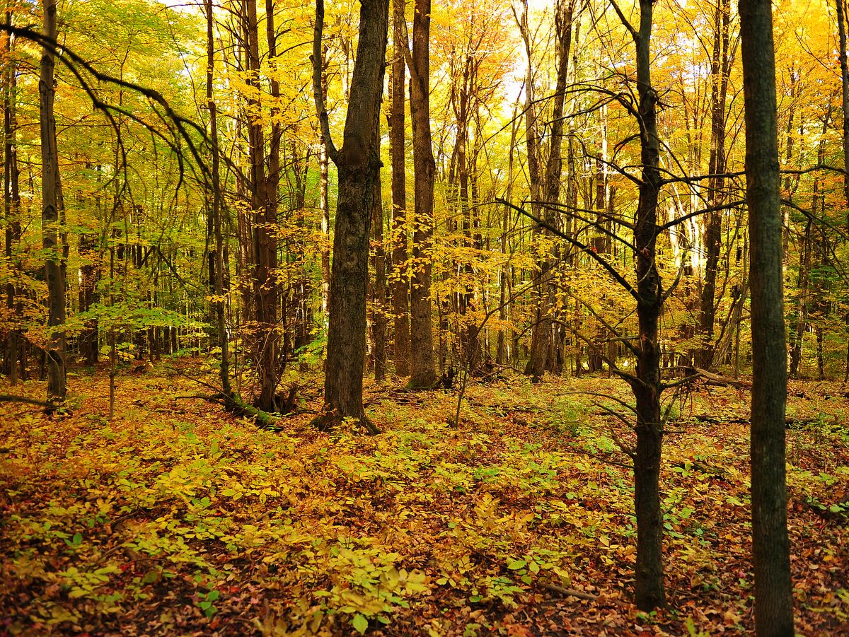
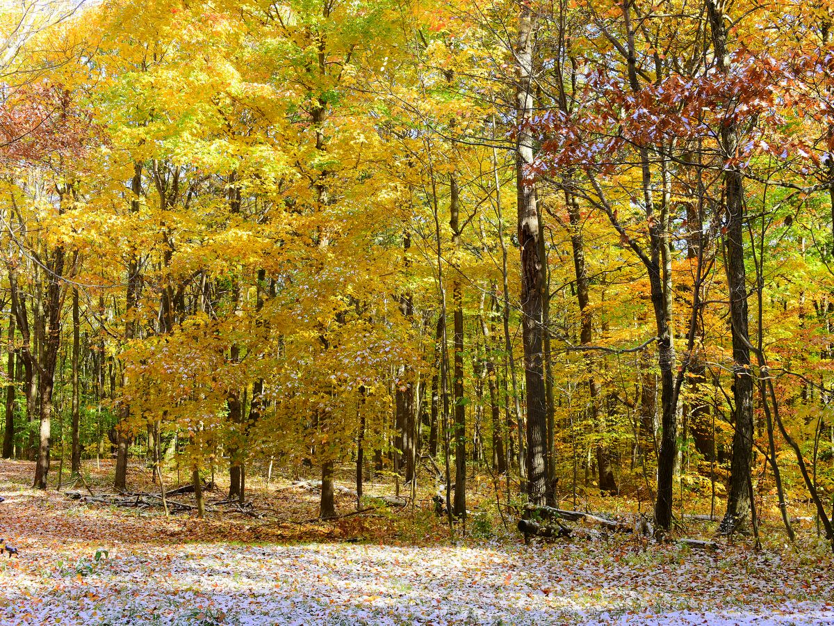
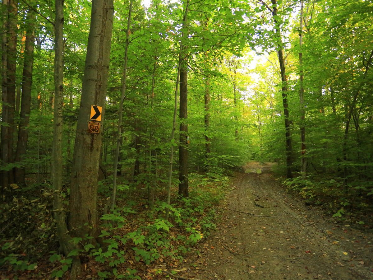
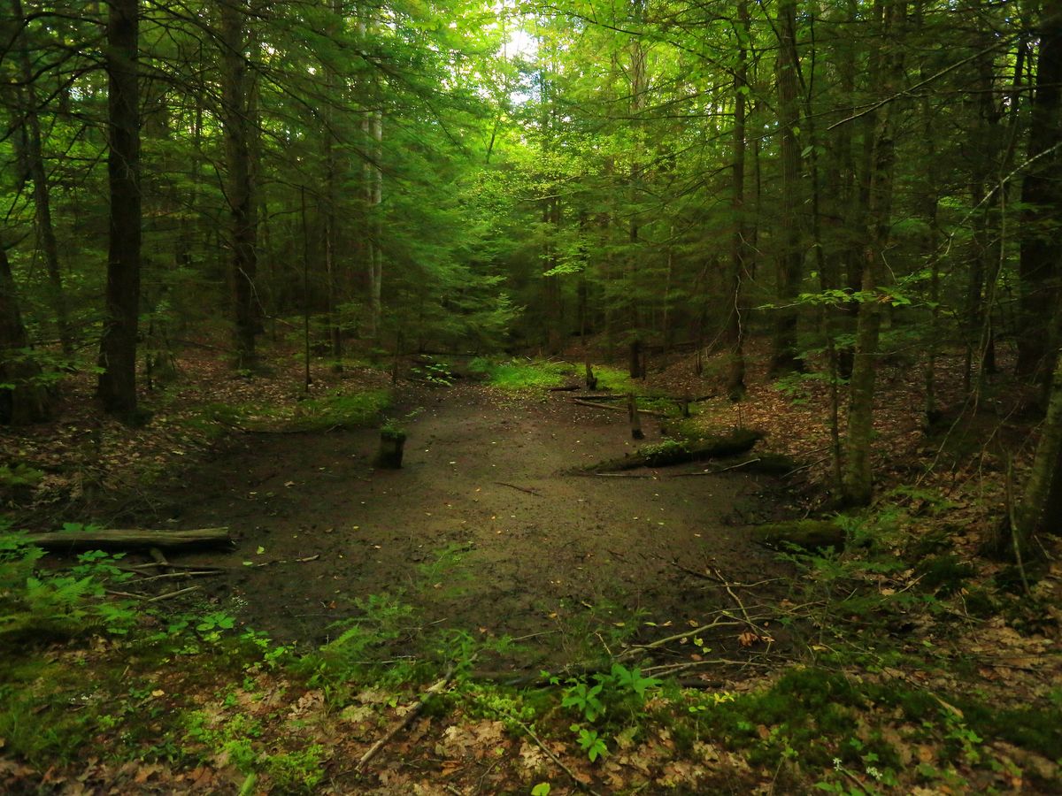
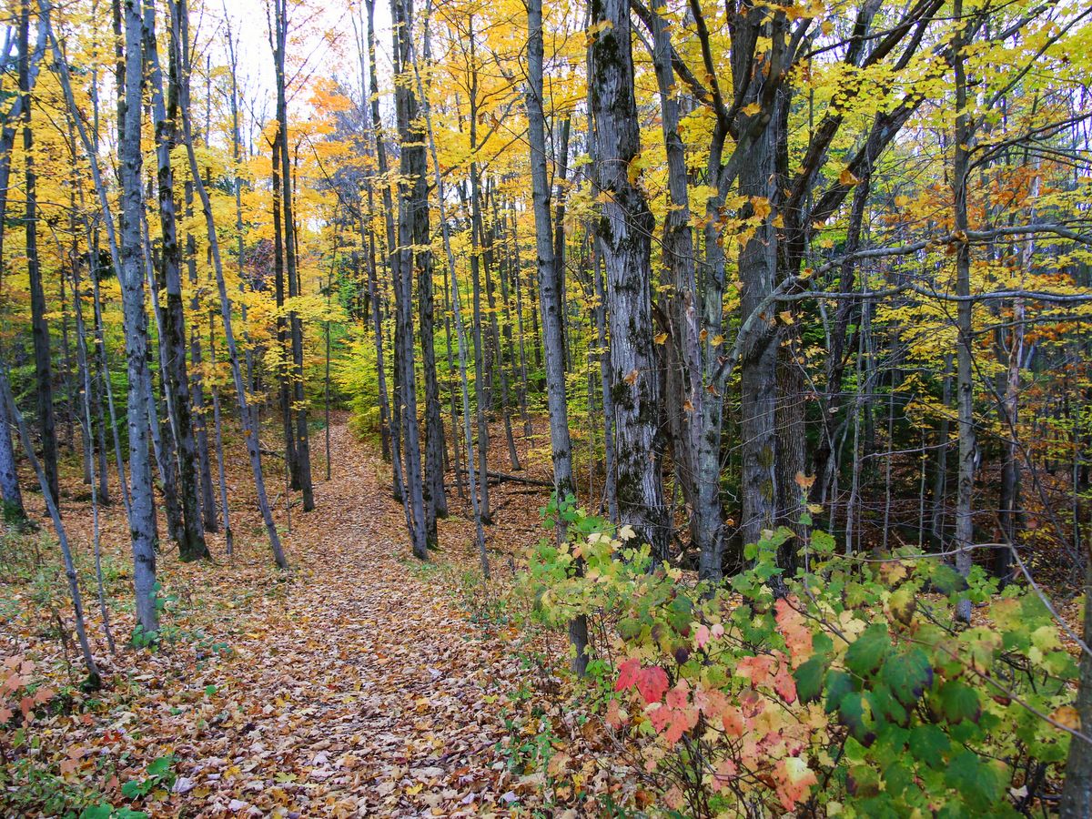
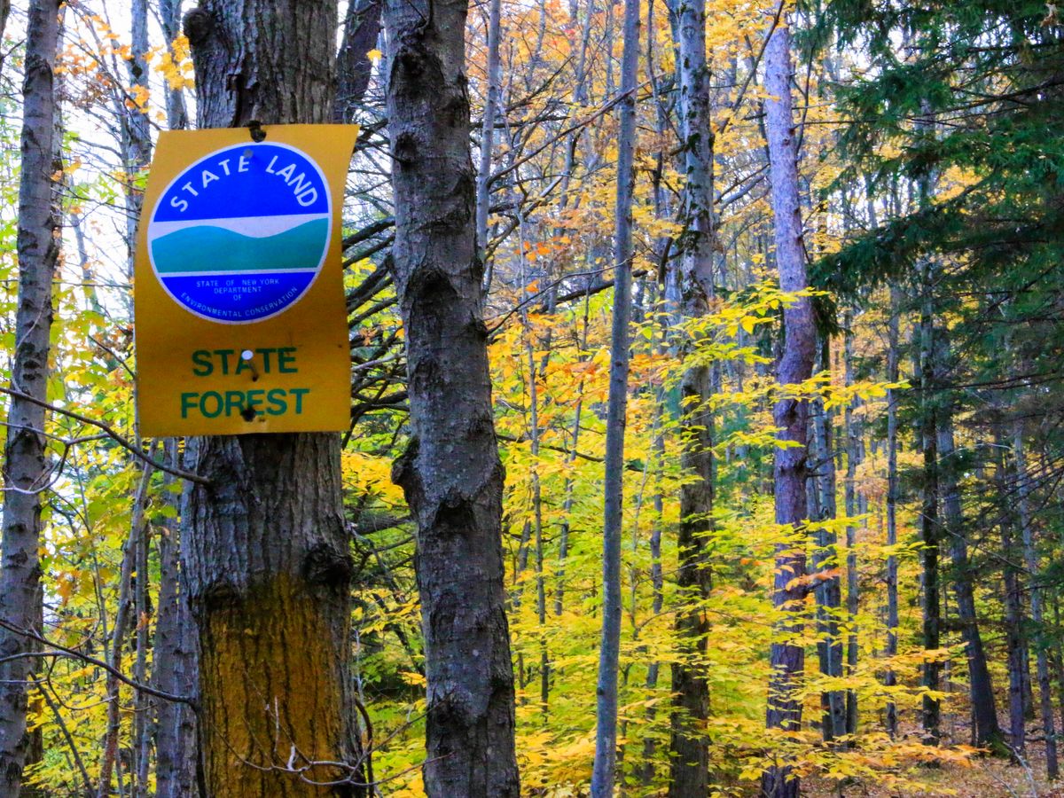
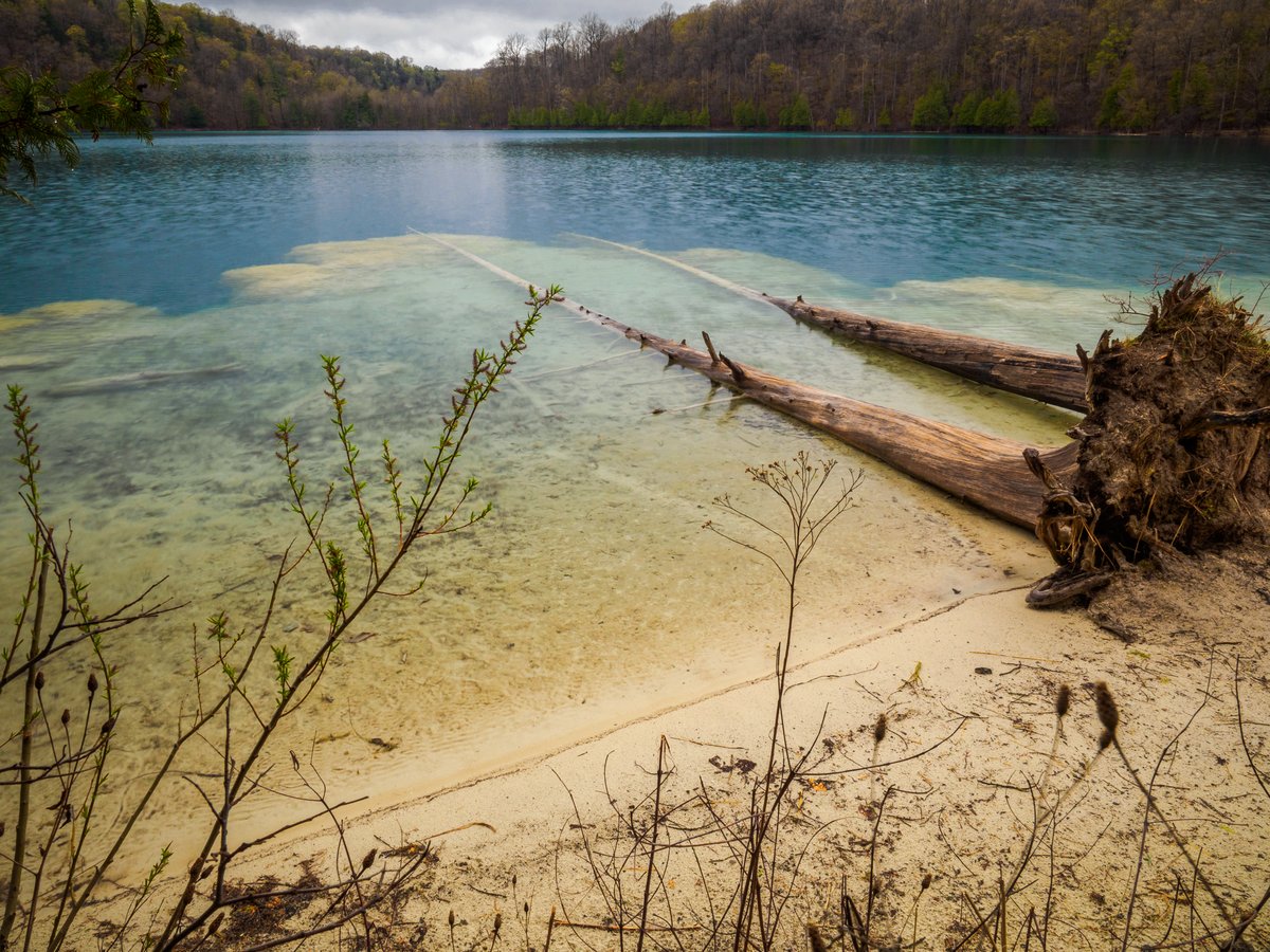
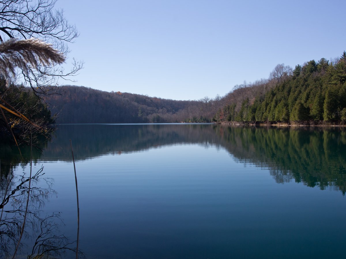
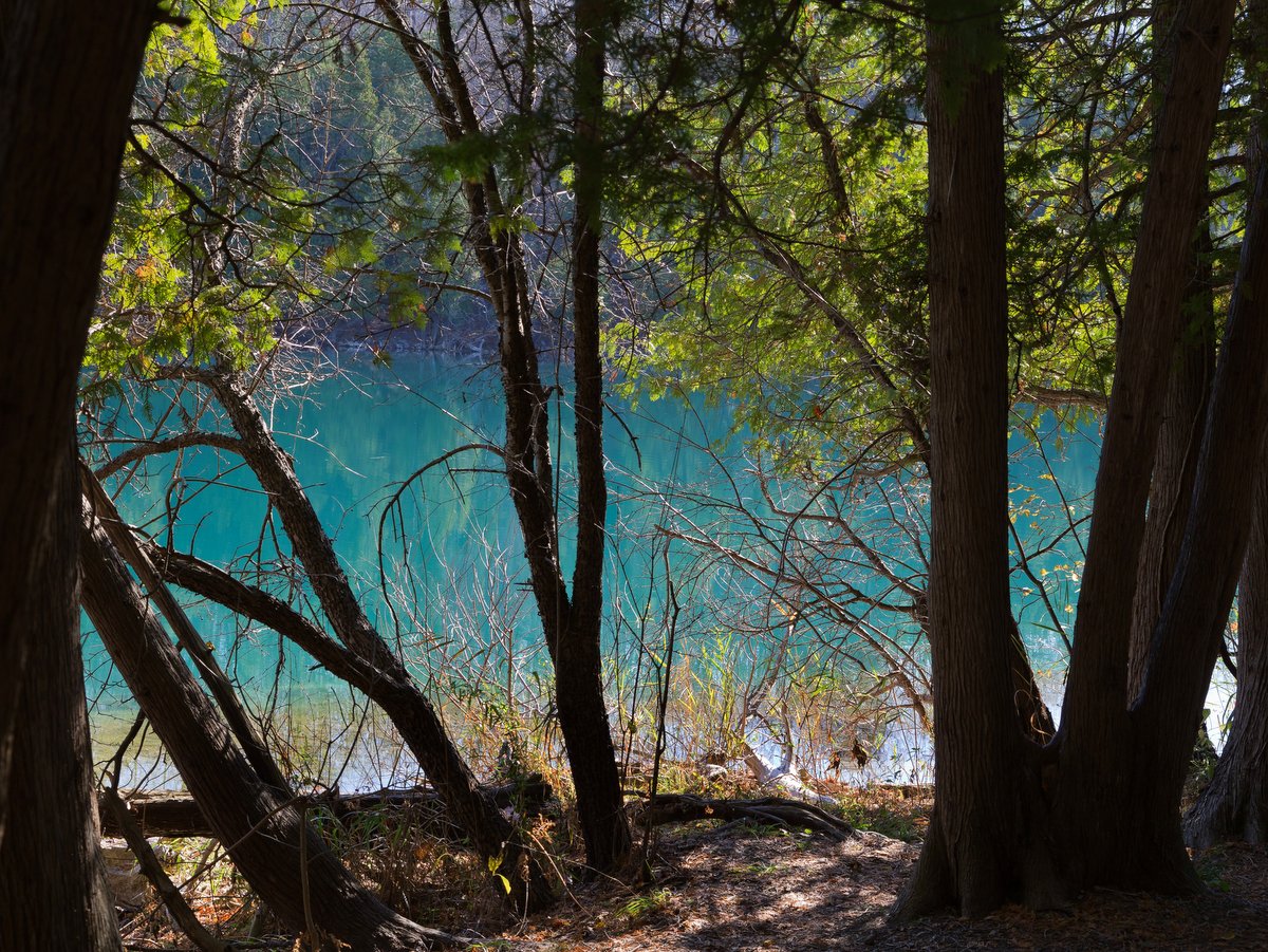
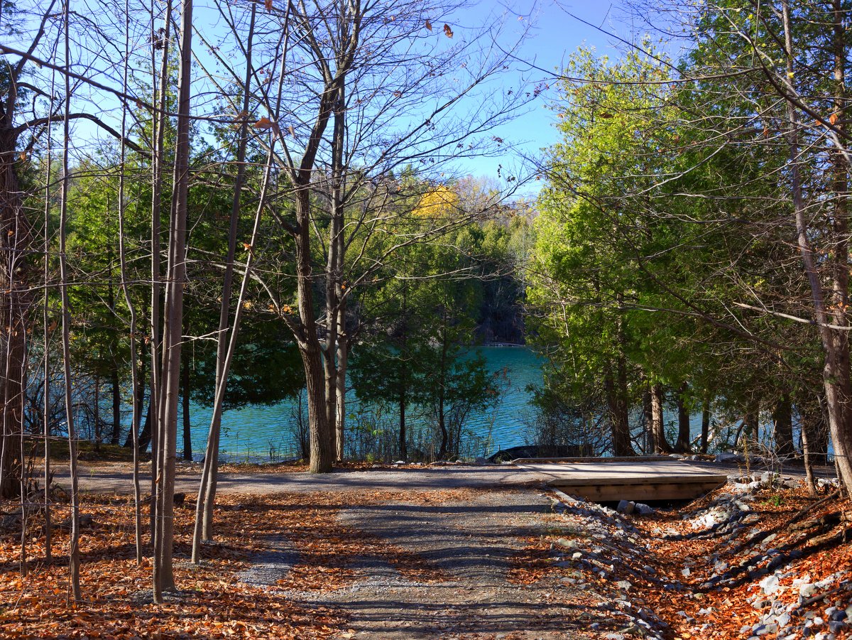
Morgan Hill State Forest and Labrador Hollow Unique Area are often referred to as one and the same, and to a certain extent, it is true. The New York State Department of Environmental Conservation (DEC) refers to the two as the Hill and Hollow unit. They are, for the most part, contiguous parcels. Though their boundary to the north actually diverges (divided by a parcel of private land), they are, in effect, still connected by the North Country Trail which bisects the property. Visitors commonly access Morgan Hill through trails that originate within the boundaries of Labrador Hollow.
The best trips to the area include both locations and combine the striking scenery from Labrador Hollow with the rugged wildness of Morgan Hill. However, Morgan Hill remains the destination of choice for more serious hikers, bikers, backpackers, and those who want an extra challenge.
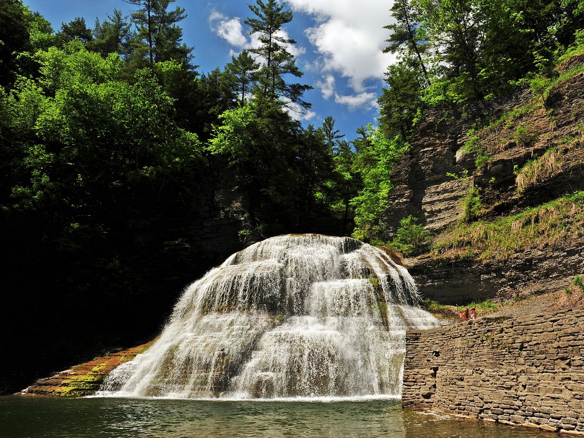
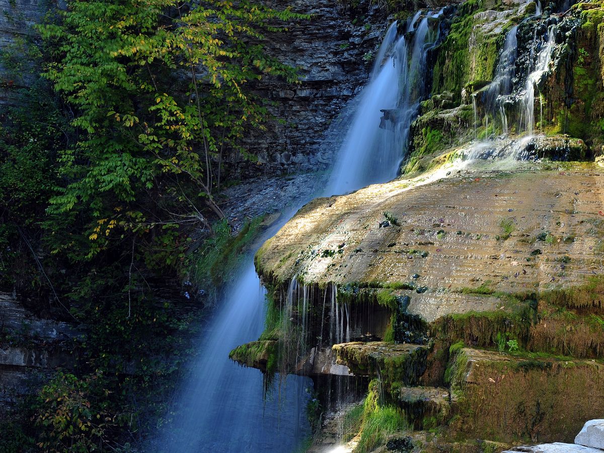
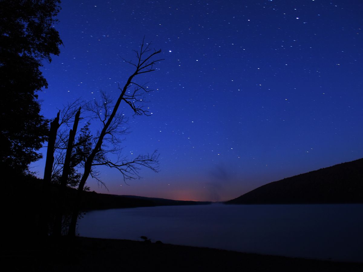
Photo: Steve Gelb
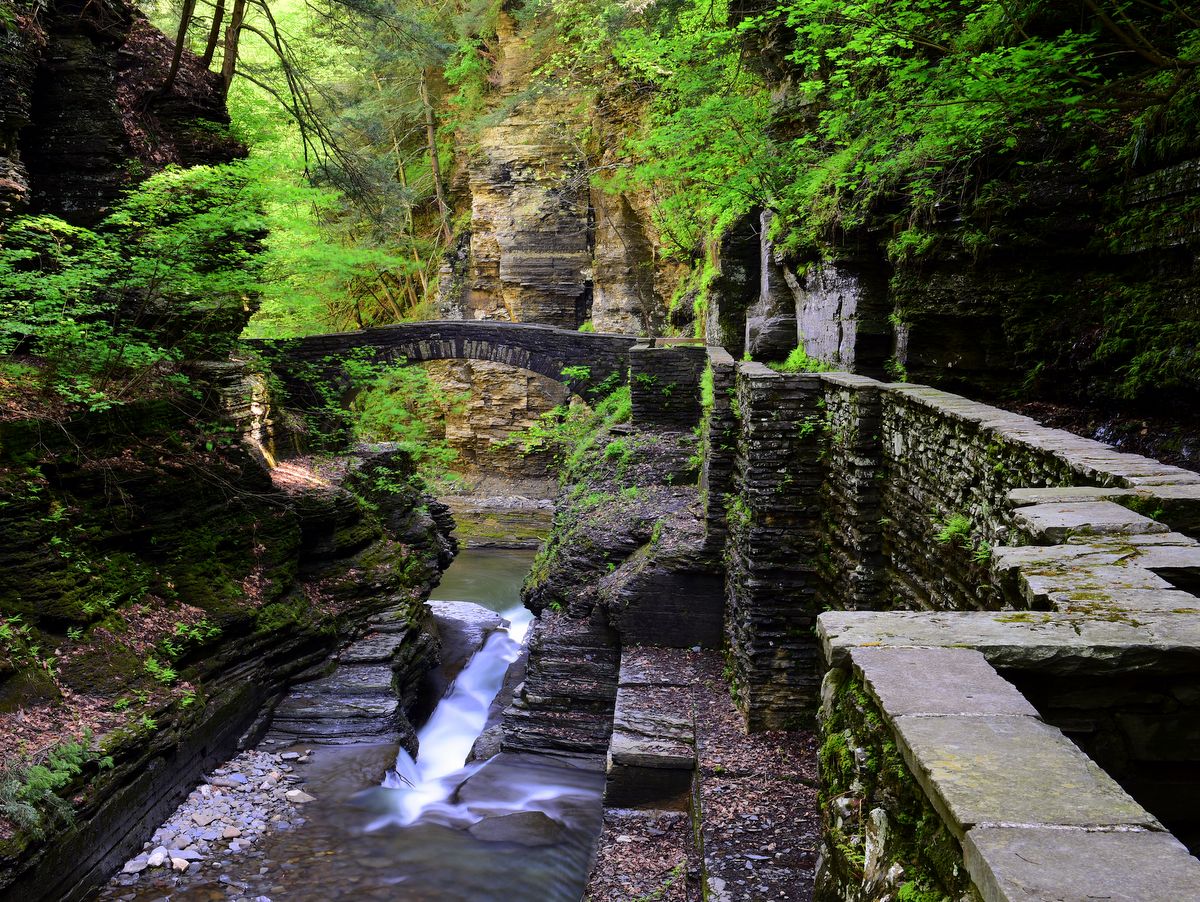
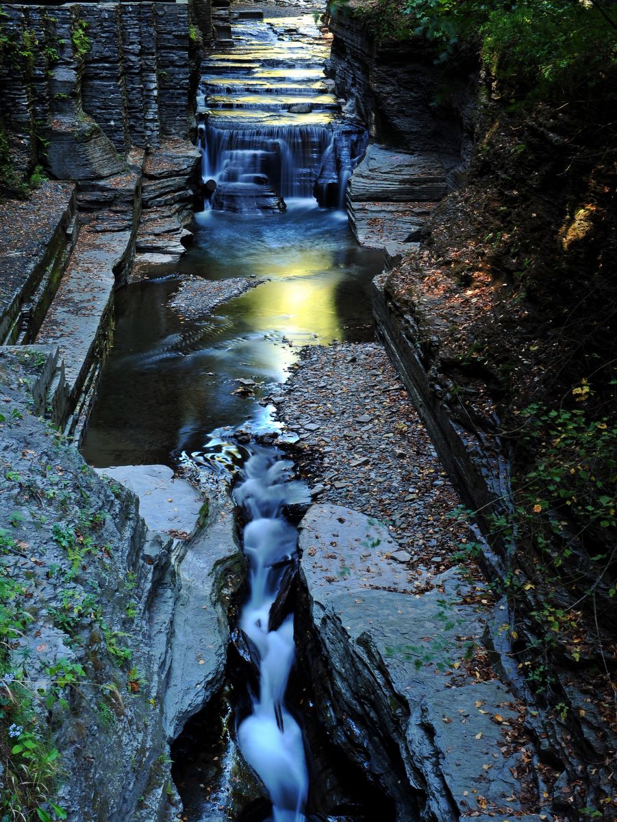
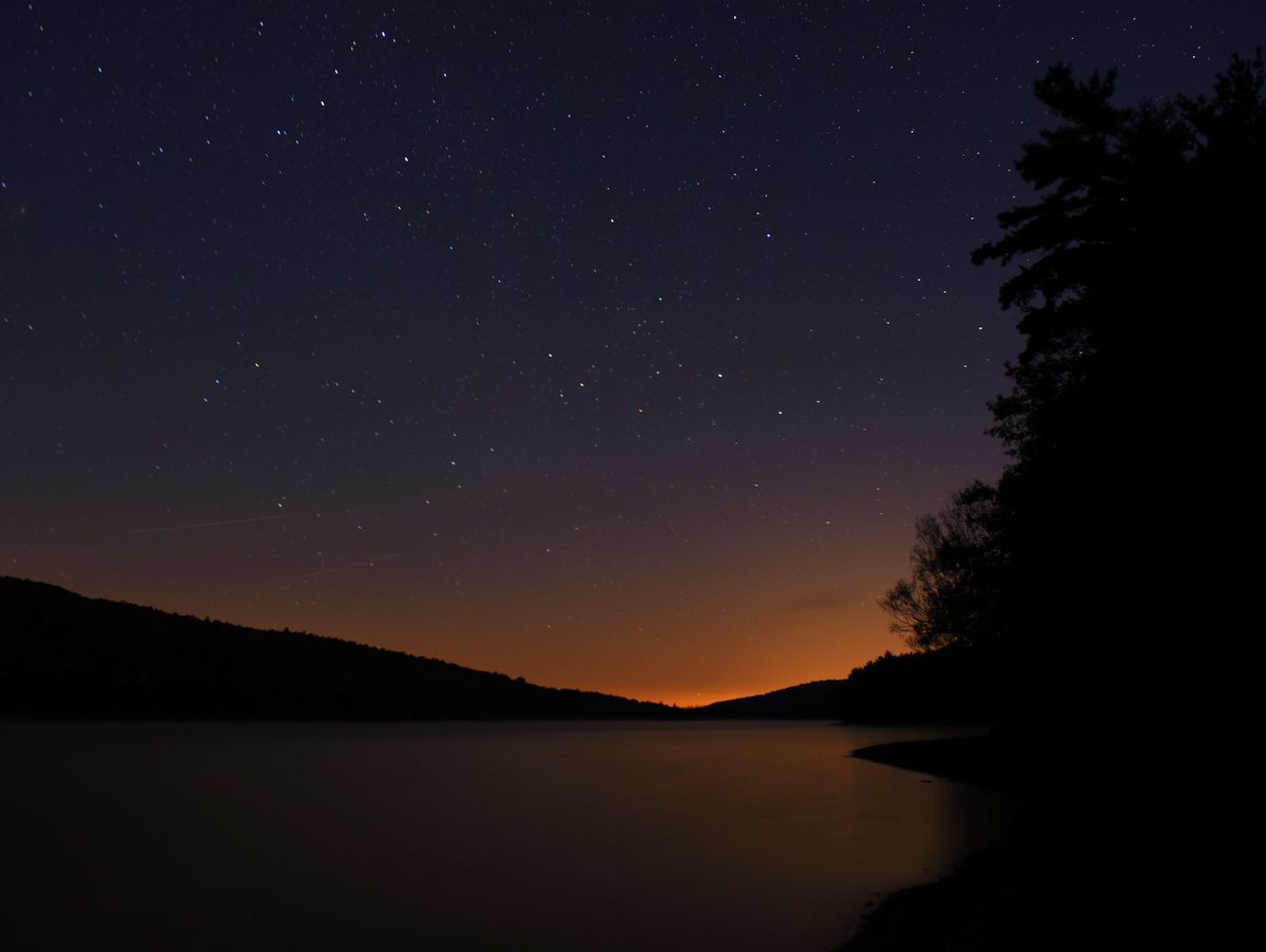
Photo: Tim Starmer
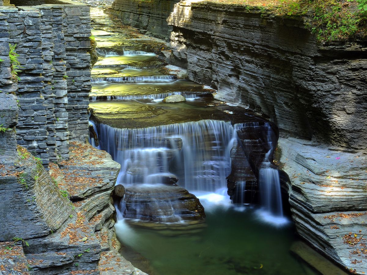
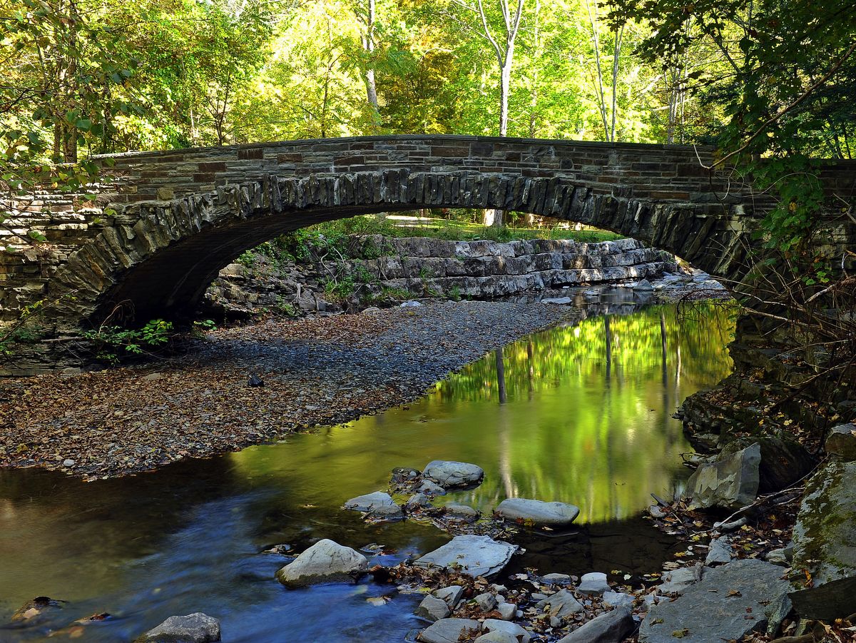
Photo: Tim Starmer
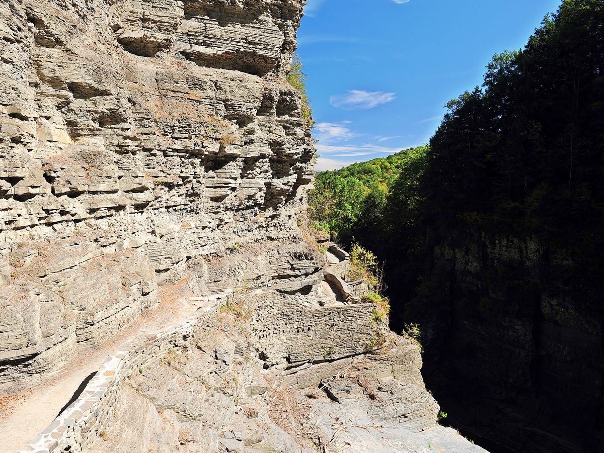
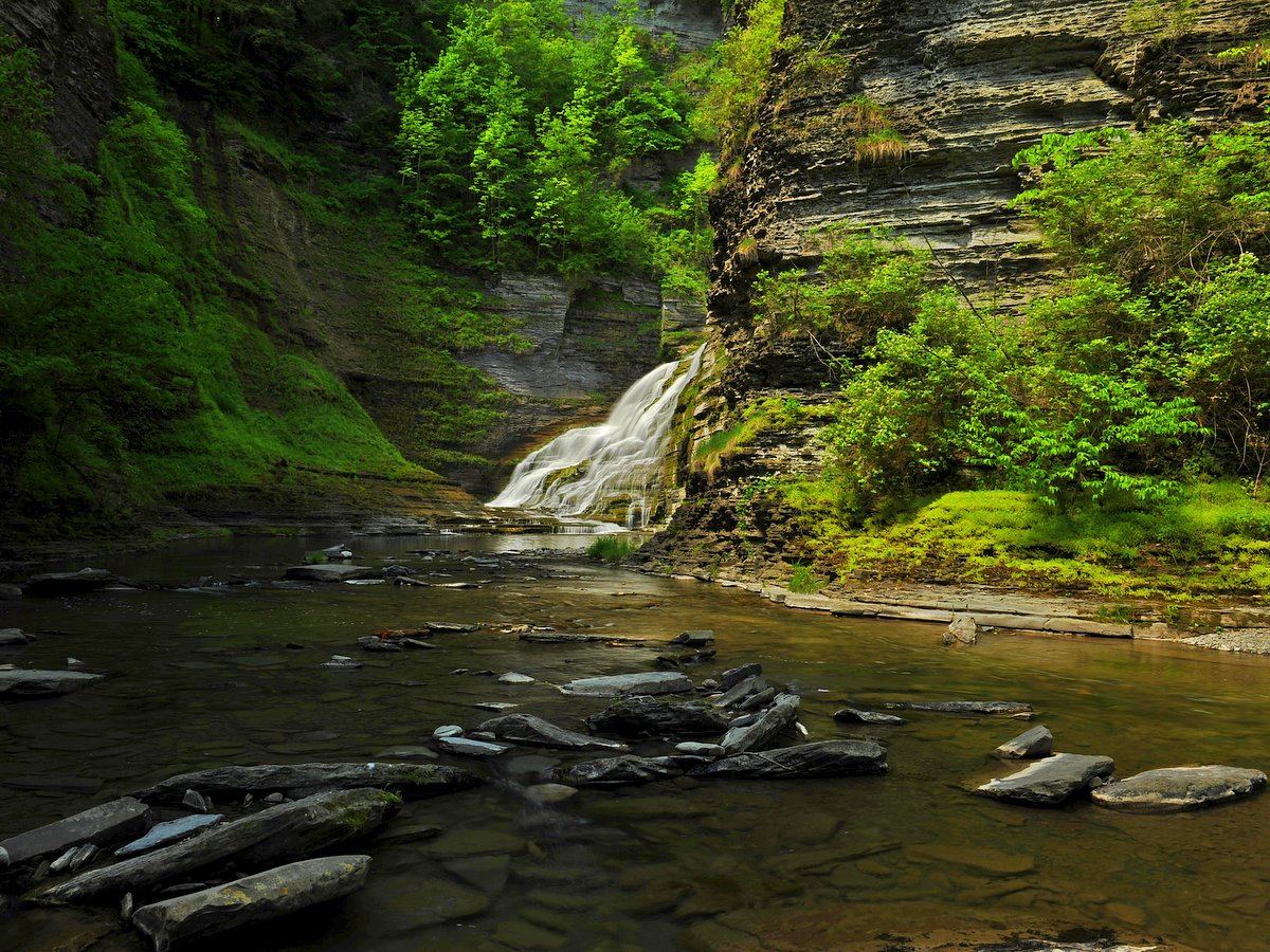
Photo: Bill Hecht
Photo: Steve Gelb
Photo: Steve Gelb
Photo: Steve Gelb
Photo: Steve Gelb
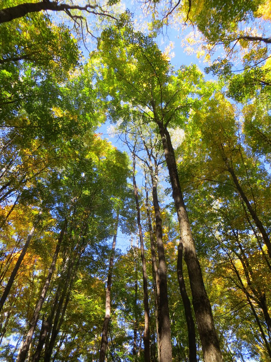
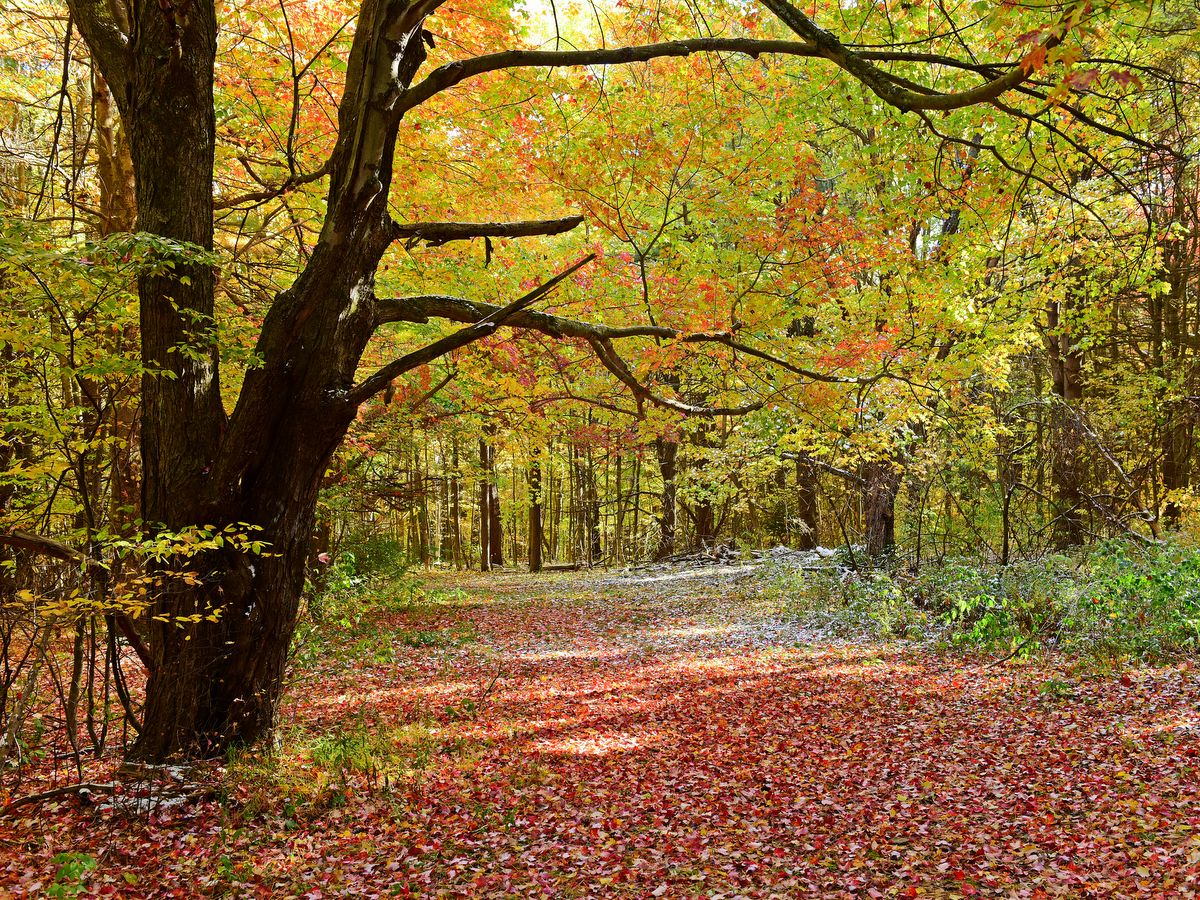
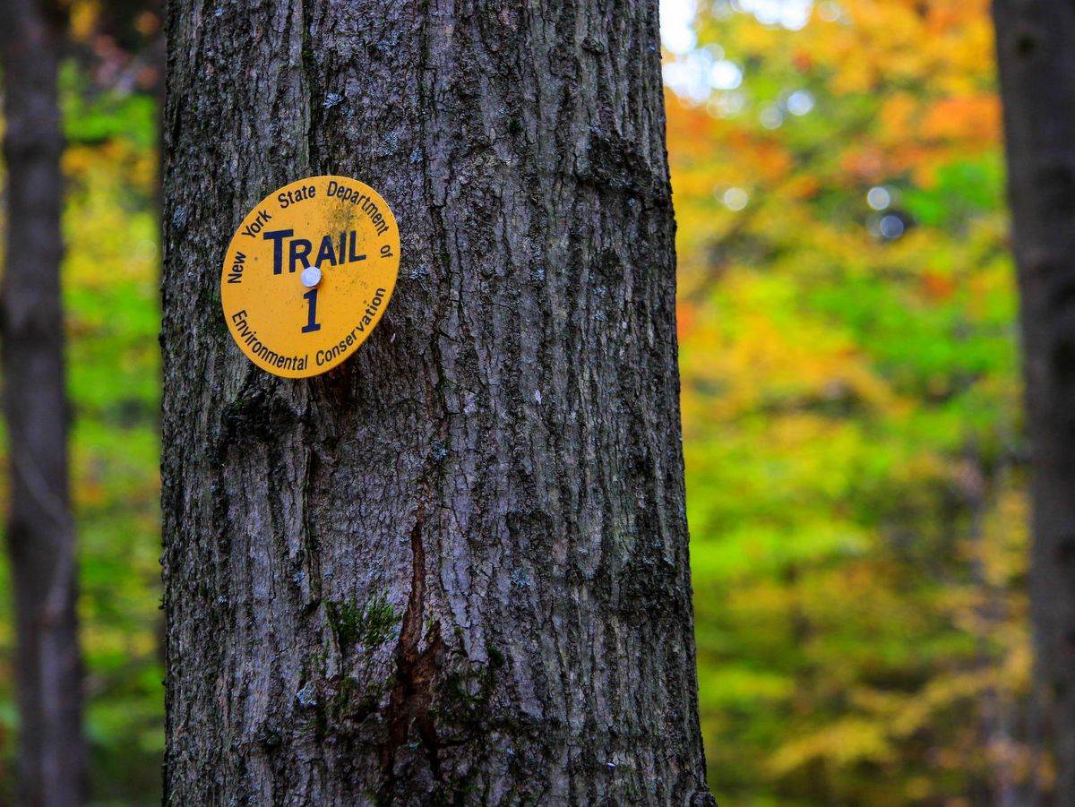
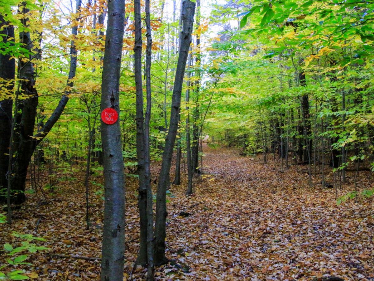
There are 13.1 miles of marked trails which connect the western part of the forest with Labrador Hollow Unique Area, and then continue east as part of the Finger Lakes Trail System/North Country National Scenic Trail—a 4,600-mile trail that traverses seven states and connects North Dakota to New York. In addition, there are 11.5 miles of Public Forest Access Roads that run through the forest.
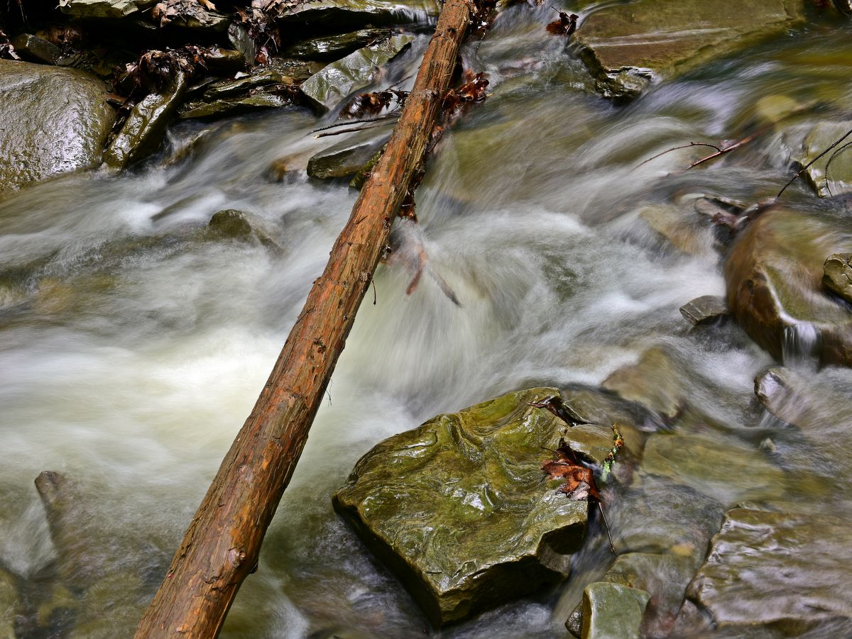
The rugged trails feature some higher levels of difficulty along lengthy rising and falling treks which experienced hikers and bikers will cherish. Since the trails to Tinker Falls and the Jones Hill hang glider launch at Labrador Hollow are the most popular and farthest many visitors travel, hikers that delve into Morgan Hill will be rewarded not only with a deep forest setting but solitude as well.
Camping is prohibited in Labrador Hollow but is easily accessible within Morgan Hill. In addition to backcountry camping, there is a lean-to as well as twelve roadside campsites near Spruce Pond; camping here is free but requires a permit. However, despite being in a well-patrolled, quiet state forest well-off the beaten path, the designated sites are rumored to be more loud and raucous than many campers prefer.
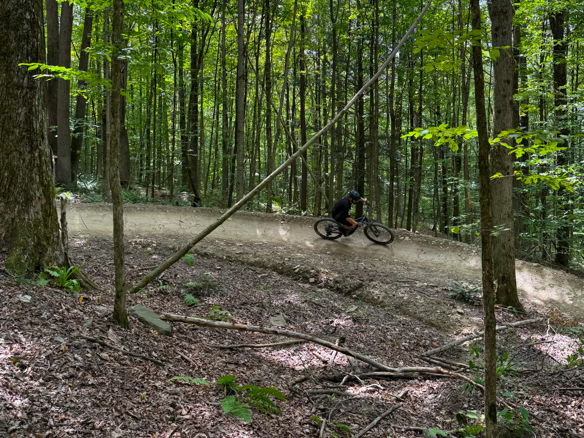
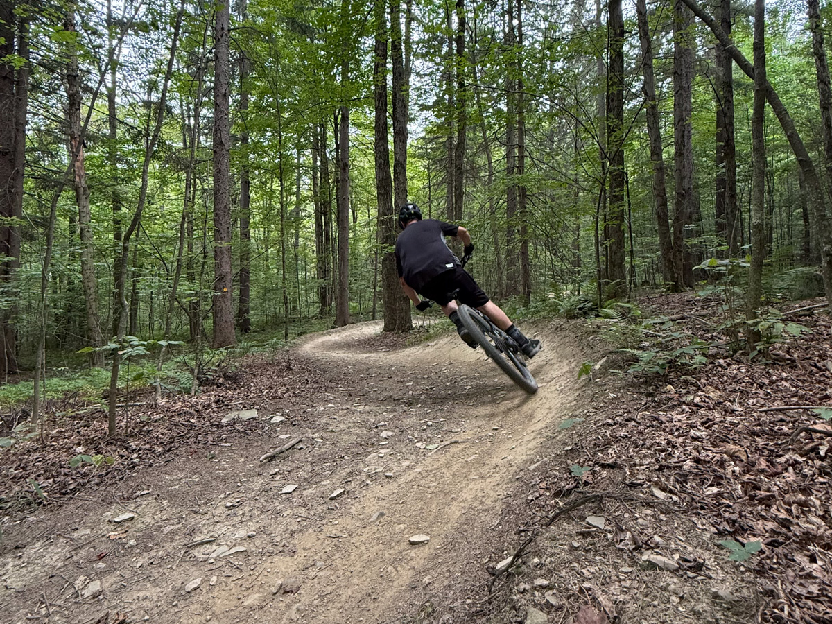
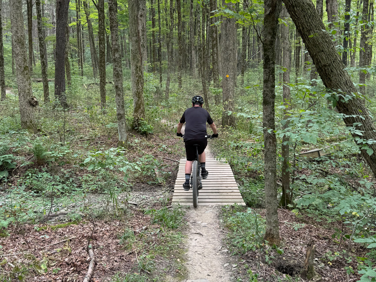
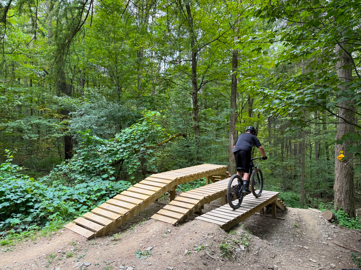
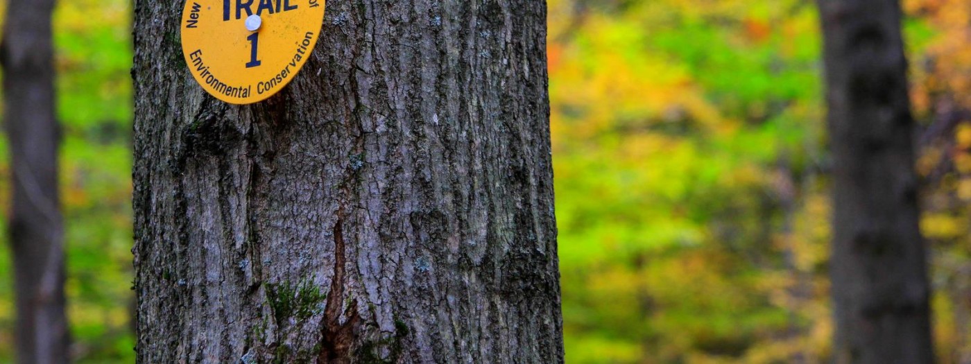
A popular destination for people from the Syracuse area and beyond, Morgan Hill is a fine example of an outdoor recreational resource that thrives when the community comes together. The hiking trails here are maintained by Finger Lakes Trail Conference and the Adirondack Mountain Club-Onondaga Chapter, while the biking trails are constructed by the local mountain bike group CNY D.I.R.T.
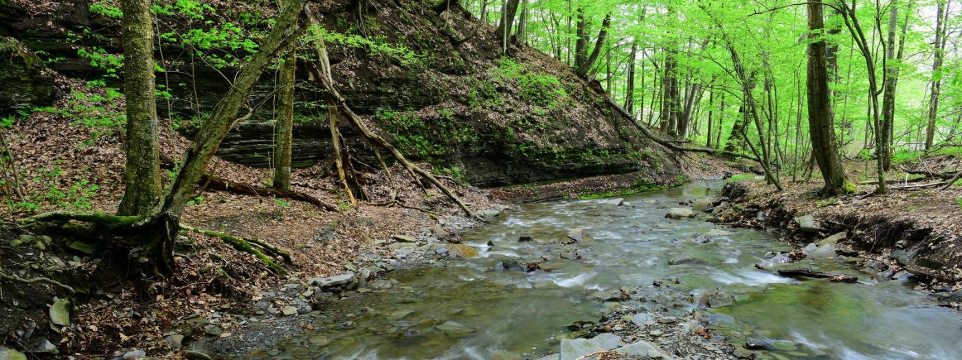
Oakley Corners State Forest is literally divided in half by Dutchtown Road, and though much of the forest is the same to the north and south of the road, there are a few differences. Notably, all of the ponds are within the southern portion of the property, and the trails around them, marked in yellow, are more level and easier. The northern section features uneven terrain and more challenging trails. While backcountry camping, following DEC guidelines, is allowed throughout the forest, a small number of designated sites are found around the southern ponds. They are popular destinations, so don’t plan on the pond sites being available.
Photo: Tim Starmer
Photo: Tim Starmer
Photo: Tim Starmer
Photo: Tim Starmer
Photo: Tim Starmer
The sixteen miles of deep, woodland trails follow many interconnected loops that allow for longer or shorter treks. The only downside is that though the multiuse trails are color-coded and numbered, there is no easily accessible source for what the colors and numbers reference. The New York State Department of Environmental Conservation’s (DEC) online map shows the trails, but not which trails are which. The DEC web site lists mileage for each segment, but you have to piece it together as you go. To compound this, trail intersections do not indicate distances to major destinations (e .g., roads, natural features, other trails, etc.) like signage does at so many other DEC trail systems.
However, if you dig into the Tioga Unit Management Plan that covers this forest, you can find a map with marked trail segments. If you forget to plan in advance, note that in the northern section there is a central access road that can be used as a reference should you ever get turned around.
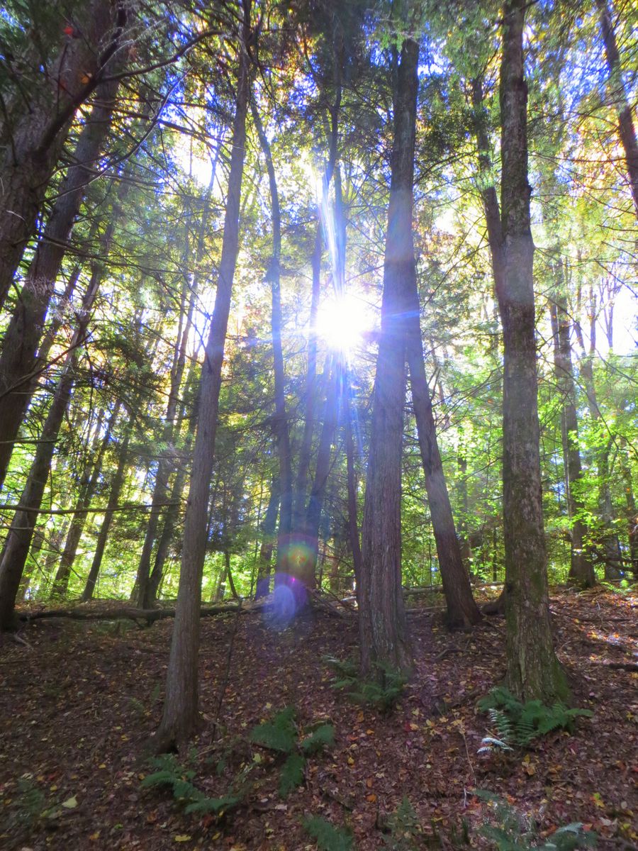
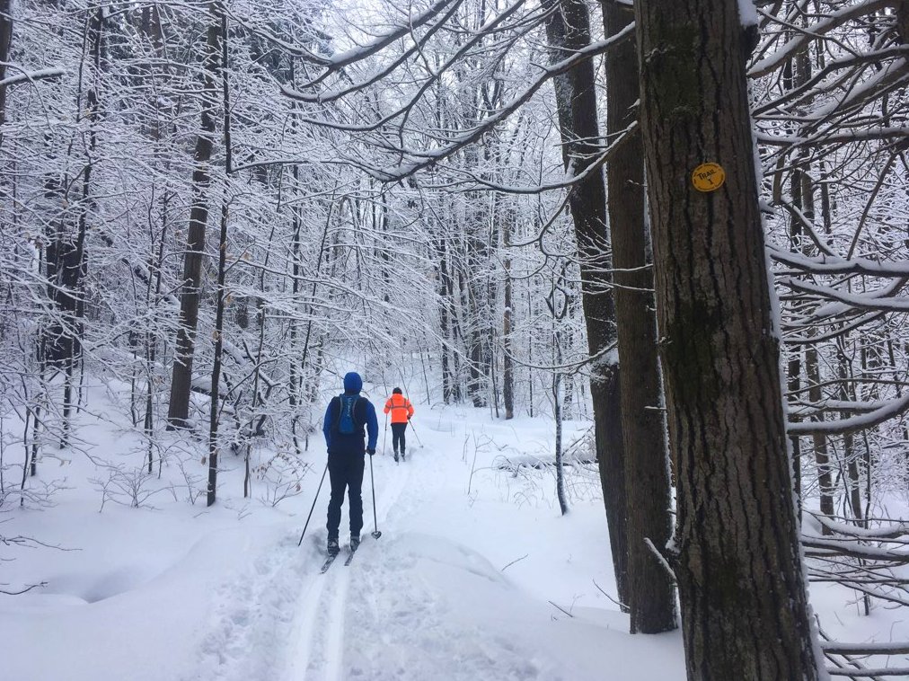
Despite the lack of signage, the actual trails themselves are in great shape and offer a good deal of solitude. Trail work has included the construction of many sturdy bridges and ditching to provide dry, stable trails even during wet seasons. Cross-country skiing is popular here and mountain biking is increasing as well. The network of trails here was built by the Triple Cities Ski Club through the DEC’s Adopt-A-Natural Resource (AANR) program and is another great example of how public and private partnerships can make natural resources accessible.
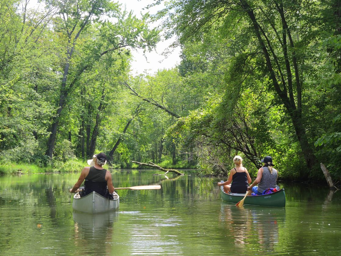
Please note: periodic flooding at Owasco Flats can occur after heavy rains. Please exercise caution when paddling the inlet and lake, and be on the lookout for trees, branches, and other debris.
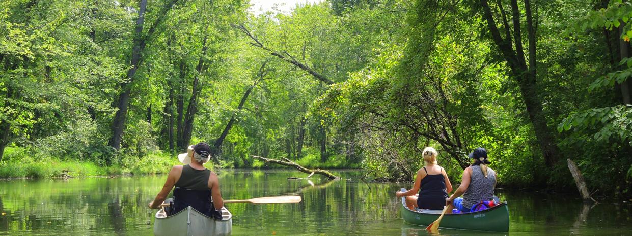
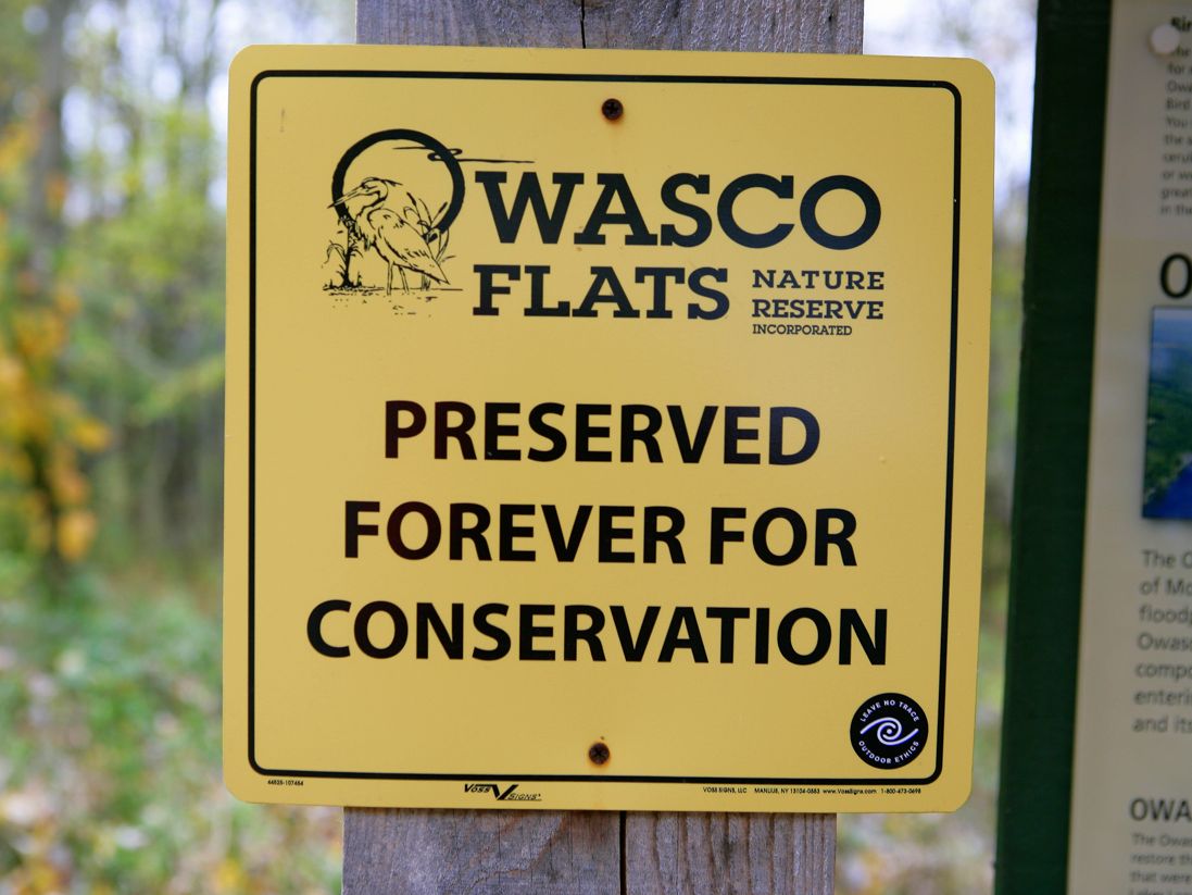
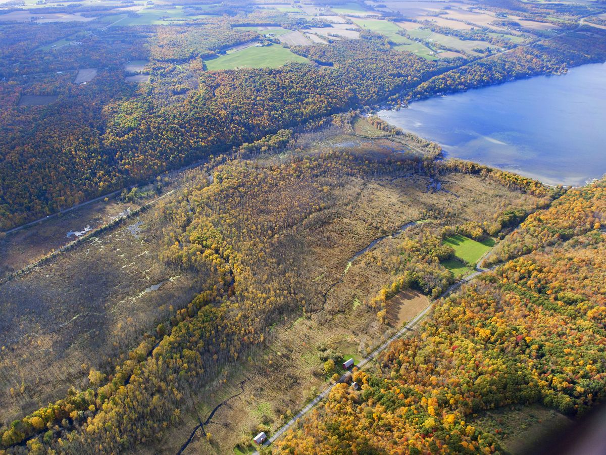
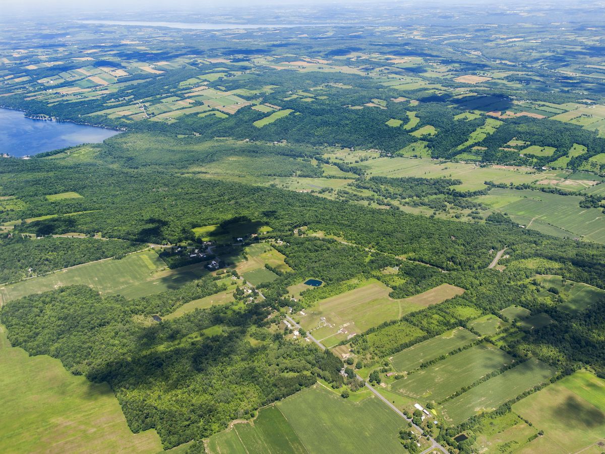
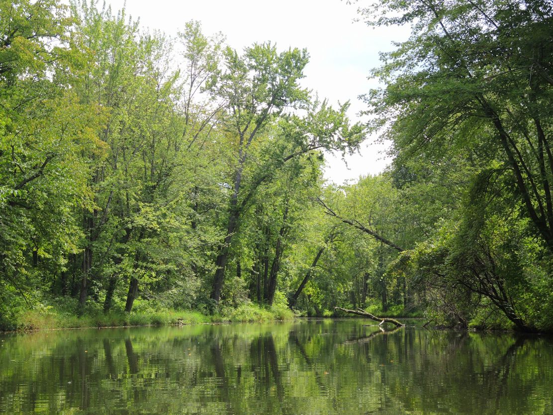
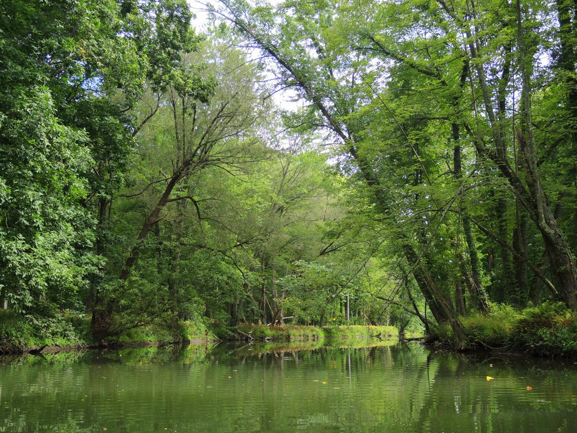
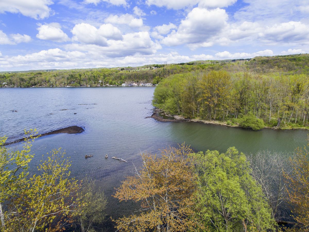
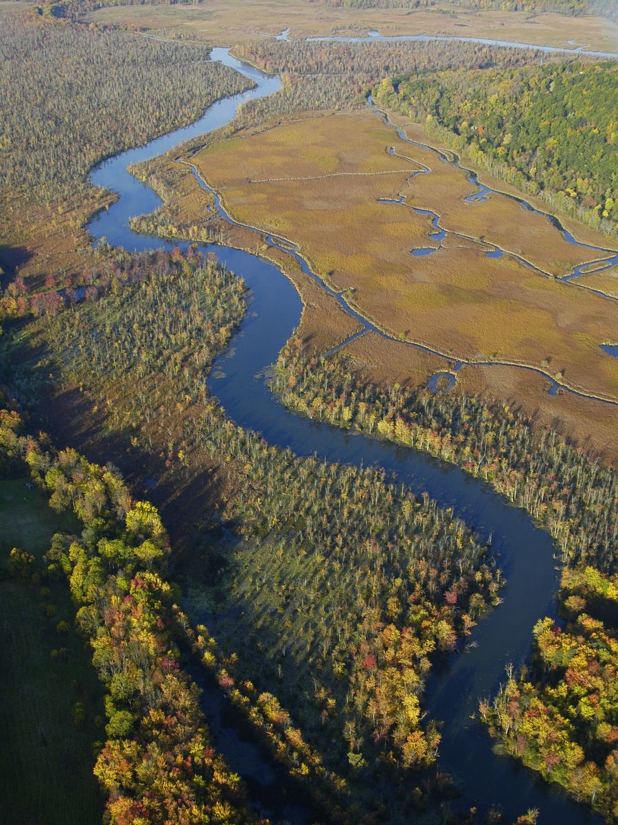
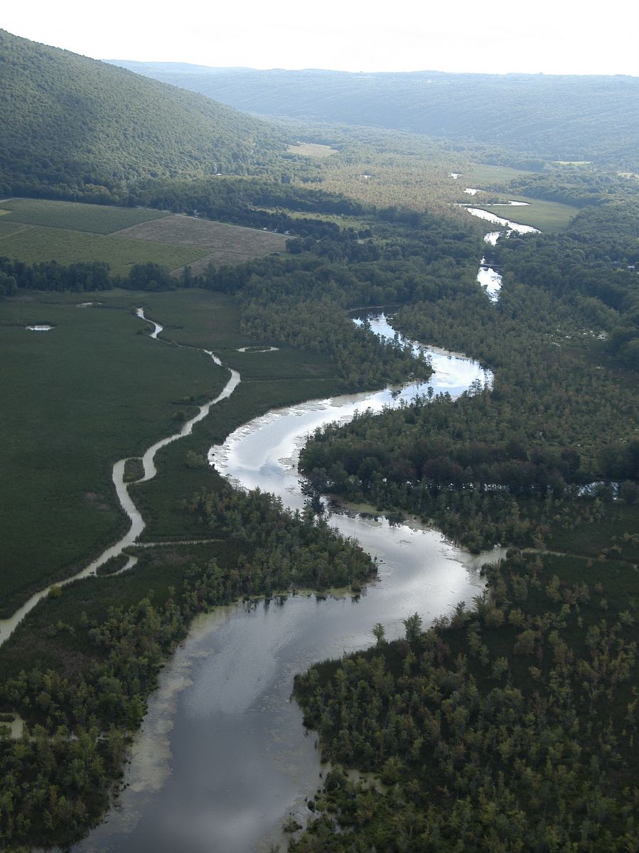
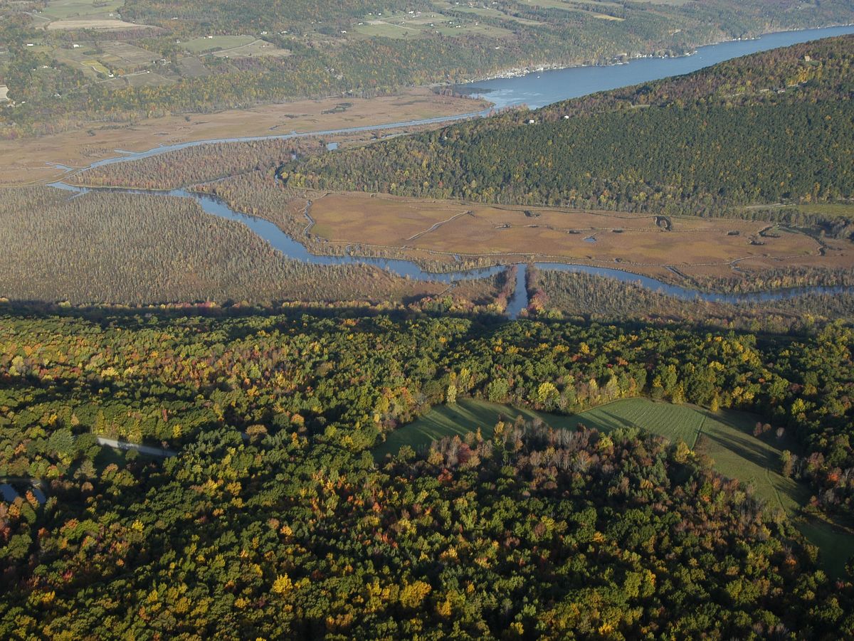
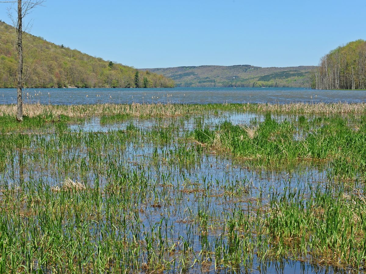
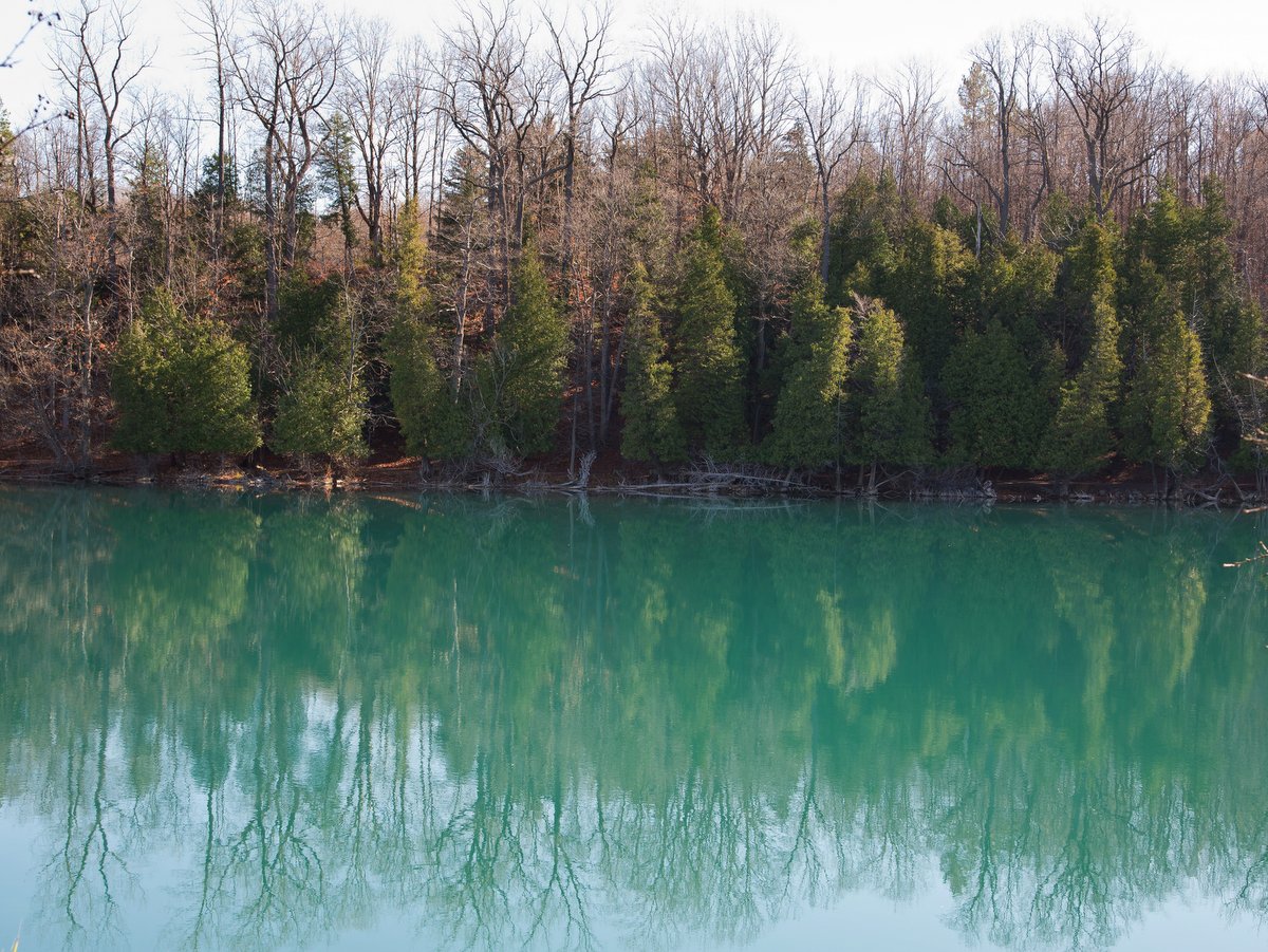
At the southern end of Owasco Lake lie an inlet and diverse floodplain that provide excellent birding, paddling, and a couple of short nature trails. Commonly known as Owasco Flats, the inlet serves as an important habitat for fish spawning within its emergent marshes, which also does double duty as a natural water quality buffer for Owasco Lake. Nearly 70% of Cayuga County’s water supply comes from Owasco Lake and over half of the lake’s water filters through the inlet, so the wetland’s importance for the community cannot be overstated.
Schools of small fish are frequently seen in the inlet and show how important this habitat is in ensuring a thriving fish community, including species like northern pike, walleye, trout, and bass. During the spring, runs of rainbow trout will find fishermen nearly shoulder to shoulder along the inlet trail. But the habitat promotes other wildlife as well. Beavers can be seen at work and even the wily river otter has been spotted. Not to mention the abundance of birds that can be seen and enjoyed throughout the wetlands.
Photo: Bill Hecht
Photo: Bill Hecht
Photo: Bill Hecht
Photo: Bill Hecht
Photo: Bill Hecht
Photo: Bill Hecht
Photo: Bill Hecht
Photo: Bill Hecht
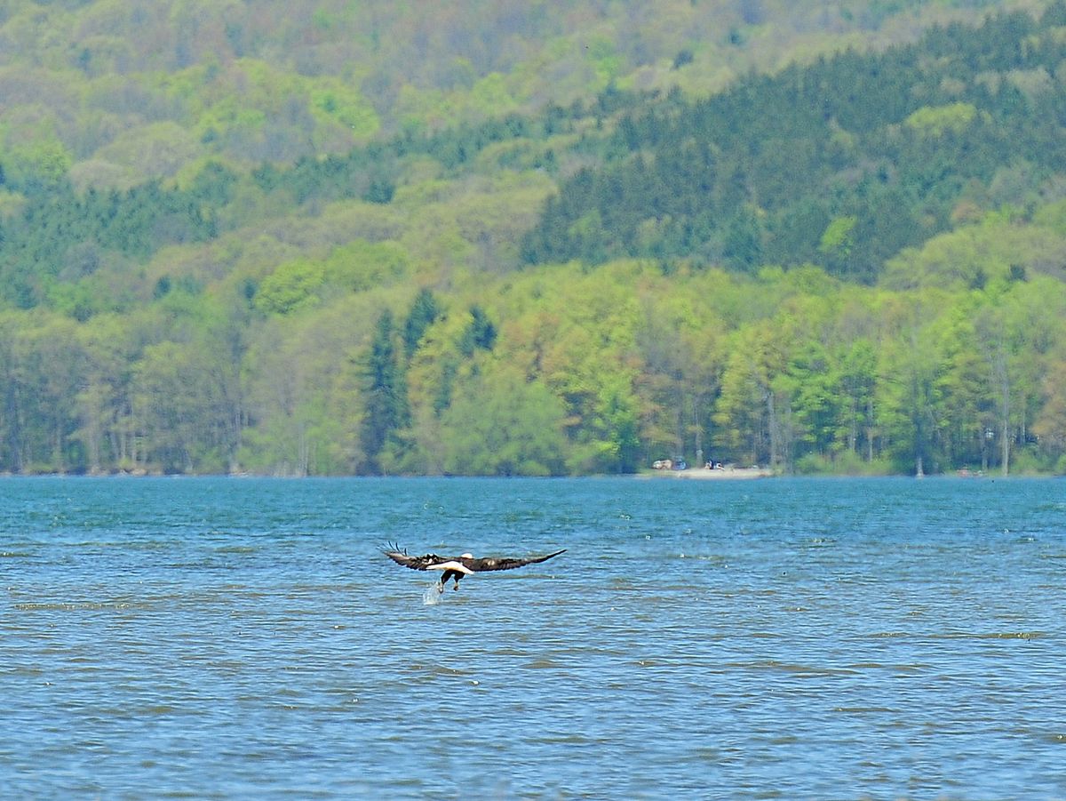
The Flats are part of the Greater Summerhill Important Bird Area (IBA). IBAs are places that possess valuable habitat for Priority Bird Species — rare and endangered bird species whose habitats are in decline. The New York Audubon includes the Owasco Flats, Summerhill State Forest, Fillmore Glen, and the Finger Lakes Land Trust’s Dorothy McIlroy Bird Sanctuary in the Greater Summerhill IBA. Species of note in this IBA are the Cerulean Warbler, the American and Least Bittern, as well as Bald Eagles, which have been sighted in the flats and hopefully will nest in the area in the future.
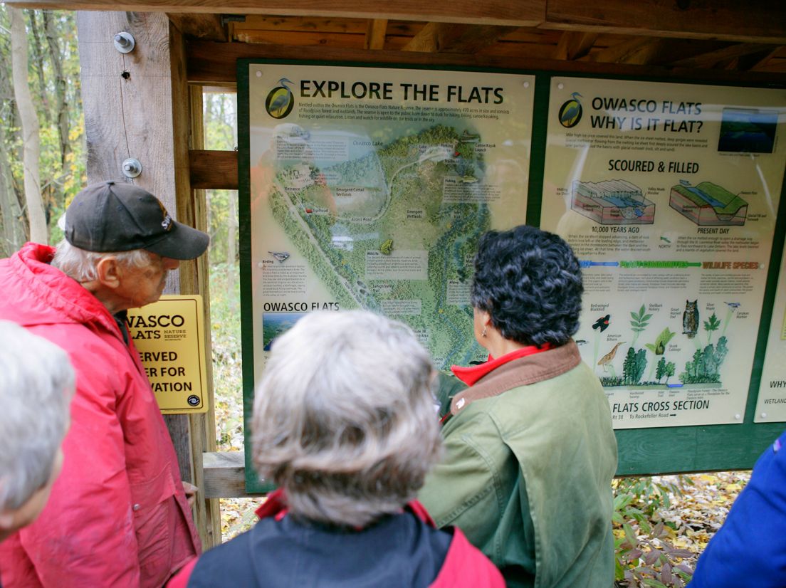
Parking is available at the end of Firelane One, accessible just past the South Shore Marina (which incidentally rents boats), and has an information kiosk. Additional parking is also available along Rt. 38. The park is open dawn to dusk, year-round.
There are two trails — the Inlet Trail and the Lake Trail. The Lake Trail is a roughly quarter-mile-long bushwhack on well-worn footpaths along the southern tip of Owasco Lake. The Inlet Trail can be hiked as a loop by following the fishermen’s footpath along the inlet’s western shore and then returning to the fire lane access road via a short section of the old Lehigh Valley rail bed. This loop totals 1.6 miles and can be combined with the lakeshore loop. Though the Inlet Trail starts along a boardwalk, many sections of the trail are muddy and require a bit of hopscotching around the muck during wet conditions.
Paddling along the inlet is the activity that really shines here and is easily accessed via the car-top boat launch at the end of Firelane One, along a short portage from the Rt. 38 parking area, or at the South Shore Marina. In summer, when the lake level drops, the area immediately adjacent to the parking area may be too shallow/mucky to launch, but boats can easily be put in along short portages either north to the lakeshore or further down the Inlet Trail.
The slow and quiet paddler will be rewarded with ample bird spotting and rare photo opportunities. Paddlers can explore the inlet all the way to Rt. 38 in Moravia. Paddlers should note that submerged logs and branches are found throughout the inlet and may make sections inaccessible depending on water levels.
The publically accessible parts of the Flats comprise Owasco Flats Park (managed by Cayuga County), parcels owned by the City of Auburn, and the Owasco Flats Nature Reserve (a non-profit grassroots organization dedicated to nature conservancy and land stewardship).
Currently, the area is under consideration to become part of a larger DEC Wildlife Management Area (WMA). The future plan would be to unify and expand the boundaries to include the 1,500 acres between state Rt. 38 to the west, Rockefeller Road to the east, Owasco Lake to north and the Village of Moravia to the south. The expanded area would enhance the water quality of Owasco Lake and expand recreational opportunities for hikers, skiers, birders, fishermen, hunters, and paddlers alike. This site shines already, but hopefully will be cherished even more by generations to come.
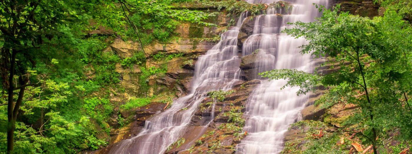
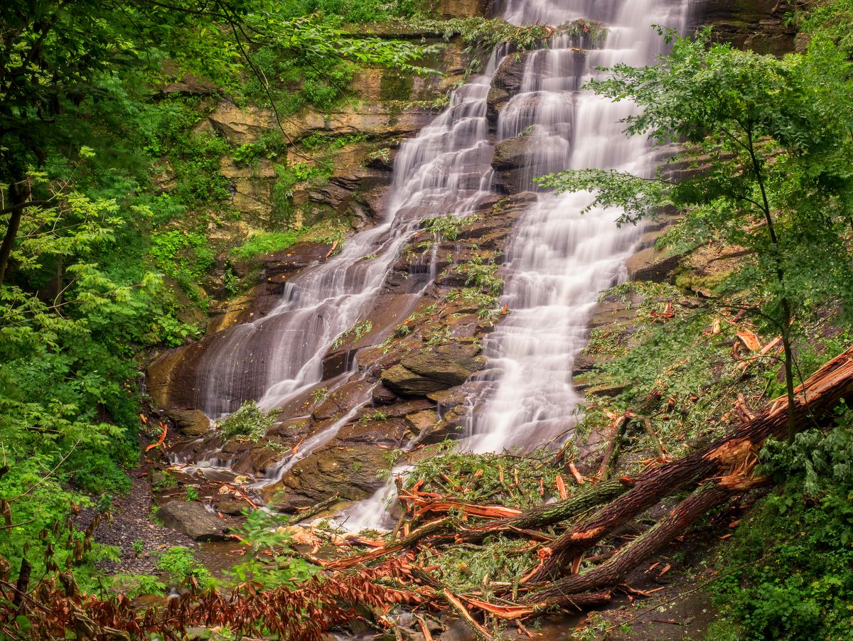
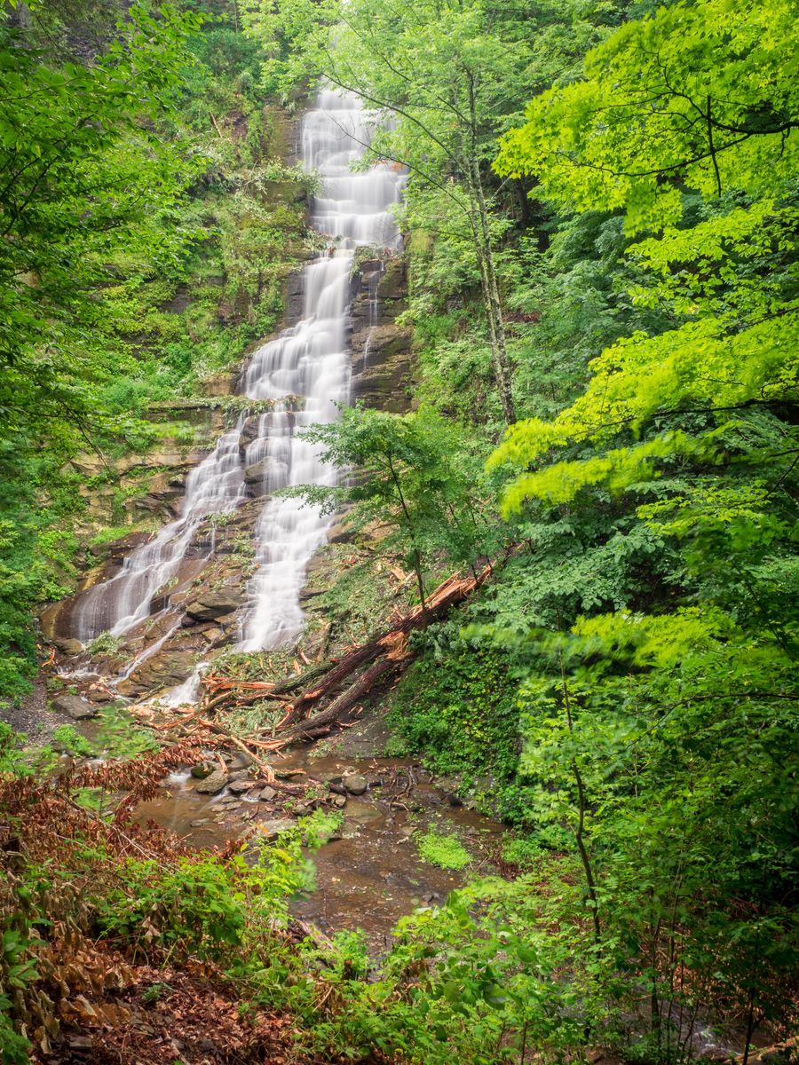
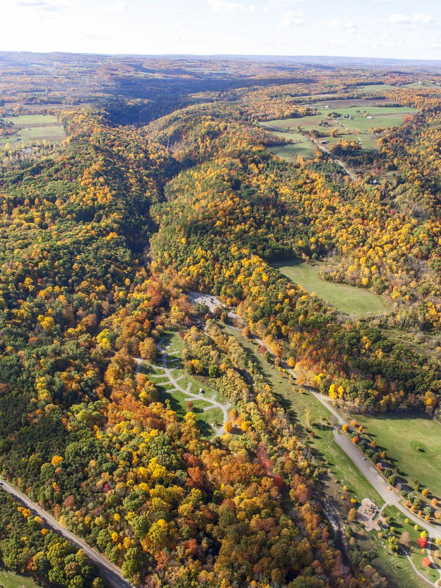
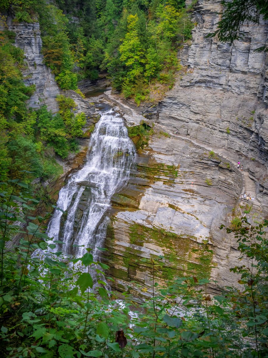
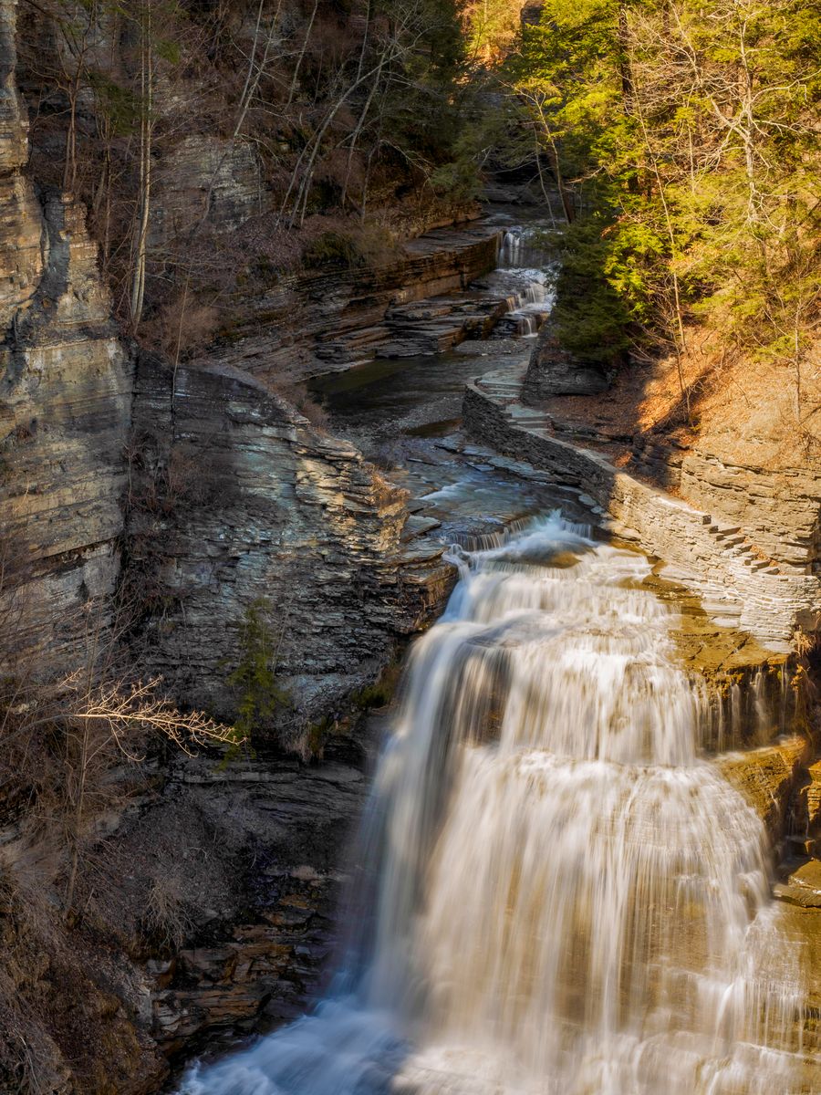
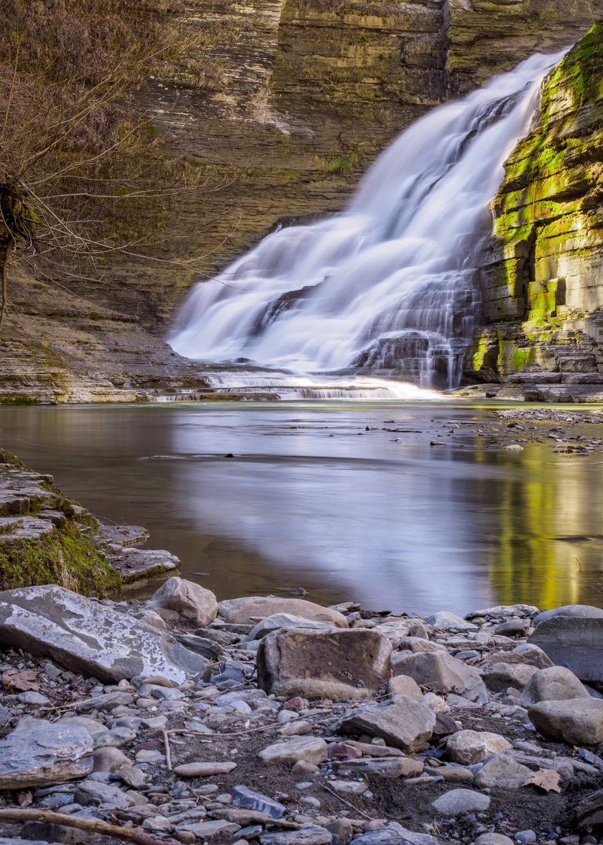
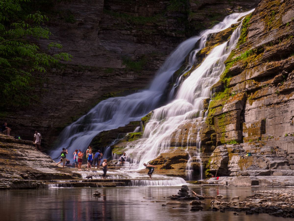
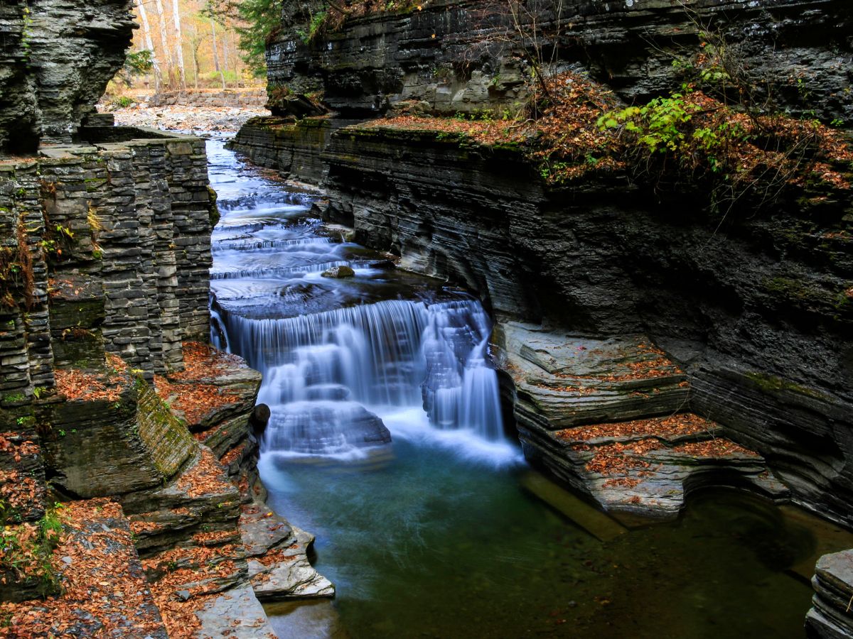
Pratt’s Falls County Park is small in size but not small in scenery. The staggering, 137-foot-high waterfall is clearly the sight to be seen within the roughly 300-acre park. The waterfall can be observed from an outlook near its crest, but you really need to view the falls from the base to take in its towering grandeur. The trail to the base is a short 0.6 miles and features steps and railings to ease the ascent/descent.
Back when New York was a part of a great inland sea, sediments deposited from the eroding mountains would disperse and settle on the seafloor. Over time, some sediment layers would form soft shale, while other layers would form erosion-resistant sandstone.
Photo: Chris Ray
Photo: Chris Ray
Photo: Chris Ray
Photo: Chris Ray
Later, when the land was uplifted and underwent the inevitable process of erosion once again, water along creeks and rivers would easily carve through the shale but more slowly through the sandstone layers. This interplay often results in staggeringly tall waterfalls and that is precisely what can be seen at Pratt’s Falls.
The falls are actually tiers of foaming cascades, as opposed to a single free-fall. Each tier is dozens of feet high, but so close in their vertical drops that the falls appear to be one frothy cascade. Since the crest — roughly 8 feet wide — is notably smaller than its fall — 137 feet — the falls are classified as a ribbon falls, one where the fall is at least twice as large as the width of the crest.
A small pond atop the falls was formed when Limestone Creek was previously dammed to power a sawmill when the area was first settled. The pond adds an easily accessible fishing spot but is also one of the reasons the waterfall has consistent volume throughout the year. When other waterfalls run dry in summer, Pratt’s Falls will likely still be flowing.
There are other trails in the park, but they mostly explore open fields and back up to the surrounding developments. Though good for exercise, the hardcore hiker will not find the additional 5 miles very isolated or remote. Hiking, archery, and dogs on a leash are all permitted in the park and though access is technically free, a $2 donation is requested.
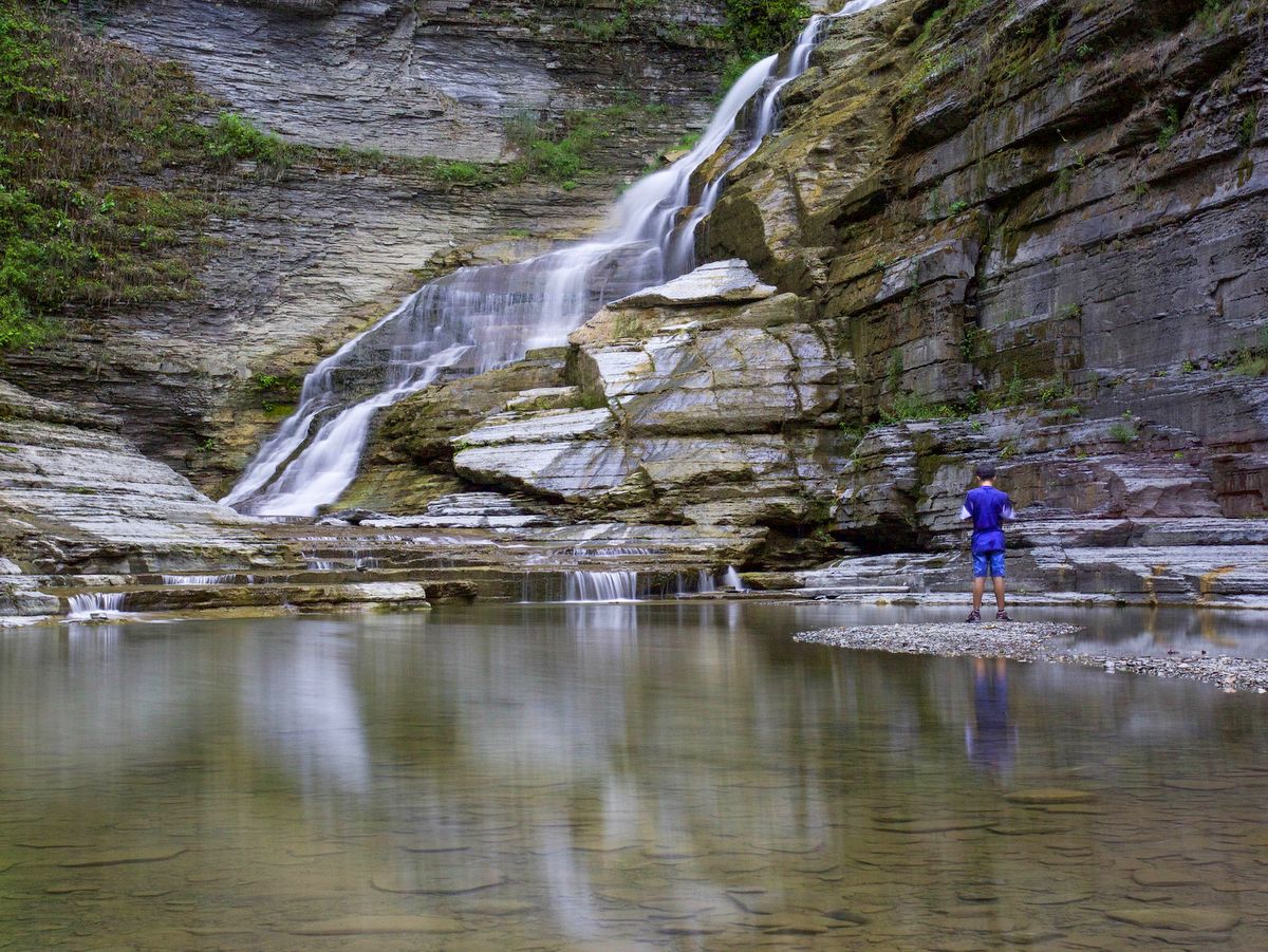
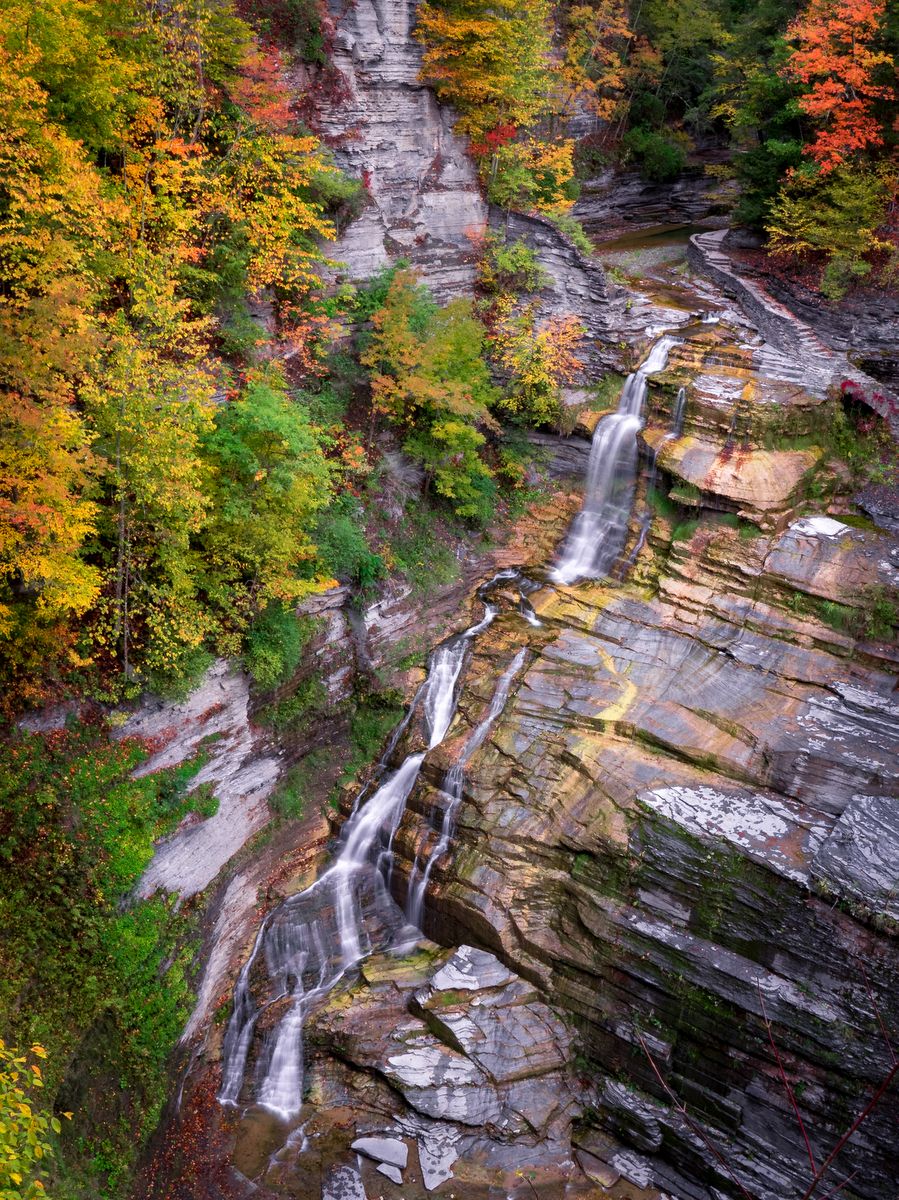
While other gorge parks hit you with some of their most dramatic views right from the start (including Buttermilk Falls, Watkins Glen, and Fillmore Glen), at Robert H. Treman, also known as Enfield Glen, you have to work just a little bit harder to get to the wow factor.
Mind you it is not much work, as the initial part of the gorge trail is relatively flat and meandering for a mile and three-quarters. But as you begin to hear thundering falls and see the route out of the gorge, it’s easy to see why “wow” might not be sufficient to describe the scene.
The 115-foot Lucifer Falls is clearly central, and the handsome stonework winding up along the sheer cliff is equally remarkable. The dramatic waterscapes continue in the “upper gorge” area and it is clear why visitors often linger in this stunning section.
Photo: Brian Maley
Photo: Bill Hecht
Photo: Bill Hecht
Photo: Chris Ray
Photo: Chris Ray
Photo: Chris Ray
Photo: Chris Ray
Photo: Chris Ray
Photo: Chris Ray
Photo: Chris Ray
Photo: Chris Ray
Photo: Chris Ray
Photo: Chris Ray
Photo: Chris Ray
Photo: Tom Reimers
Photo: Nigel Kent
Photo: Nigel Kent
Photo: Nigel Kent
Photo: Nigel Kent
Photo: Nigel Kent
Photo: Nigel Kent
Photo: Nigel Kent
Photo: Nigel Kent
Photo: Nigel Kent
Photo: Nigel Kent
Photo: Nigel Kent
Photo: Nigel Kent
A marvelous way to experience the gorge and Lucifer Falls is to walk up the Gorge Trail and then climb down the steep and long stone staircase along the Rim Trail. (Steep is actually an understatement, so if you don’t have good balance or healthy knees, avoid this return route. But note that there are several “can’t miss” lookouts with eye-popping views available along the Rim Trail before reaching the steep steps.)
While climbing to and beside Lucifer Falls, try to visualize yourself and the path. When you reach the lookouts along the Rim Trail on the opposing cliff, there is no doubt you will be astonished just how high and narrow the passage up through the gorge to the falls actually is. Like many state parks, the beautiful work done by the Civilian Conservation Corps (CCC) can be admired for its appearance but also in the feat of constructing the trail which literally clings to the sheer cliff.
As is the case throughout the Finger Lakes region, the park’s unique and stunning scenery is also the product of glaciation, but in Enfield Glen, a slightly different process is revealed. The gorge was formed in two distinct phases. During a period of interglacial melt, a gorge (referred to as the “old gorge”) had formed in the lower portion of the park. When the glaciers advanced once again, the sheets of ice-filled in the gorge with glacial till. After the final glacier receded, a “new gorge” formed in the upper portion of the park. The water from the “new gorge” quickly swept away the glacial till revealing two gorges similar in genesis but unique in character. Lucifer Falls marks this boundary between the two and visitors of other gorge parks will note the similarities that the upper gorge has with Buttermilk Falls while the lower gorge is more akin to the feeling within Taughannock Falls.
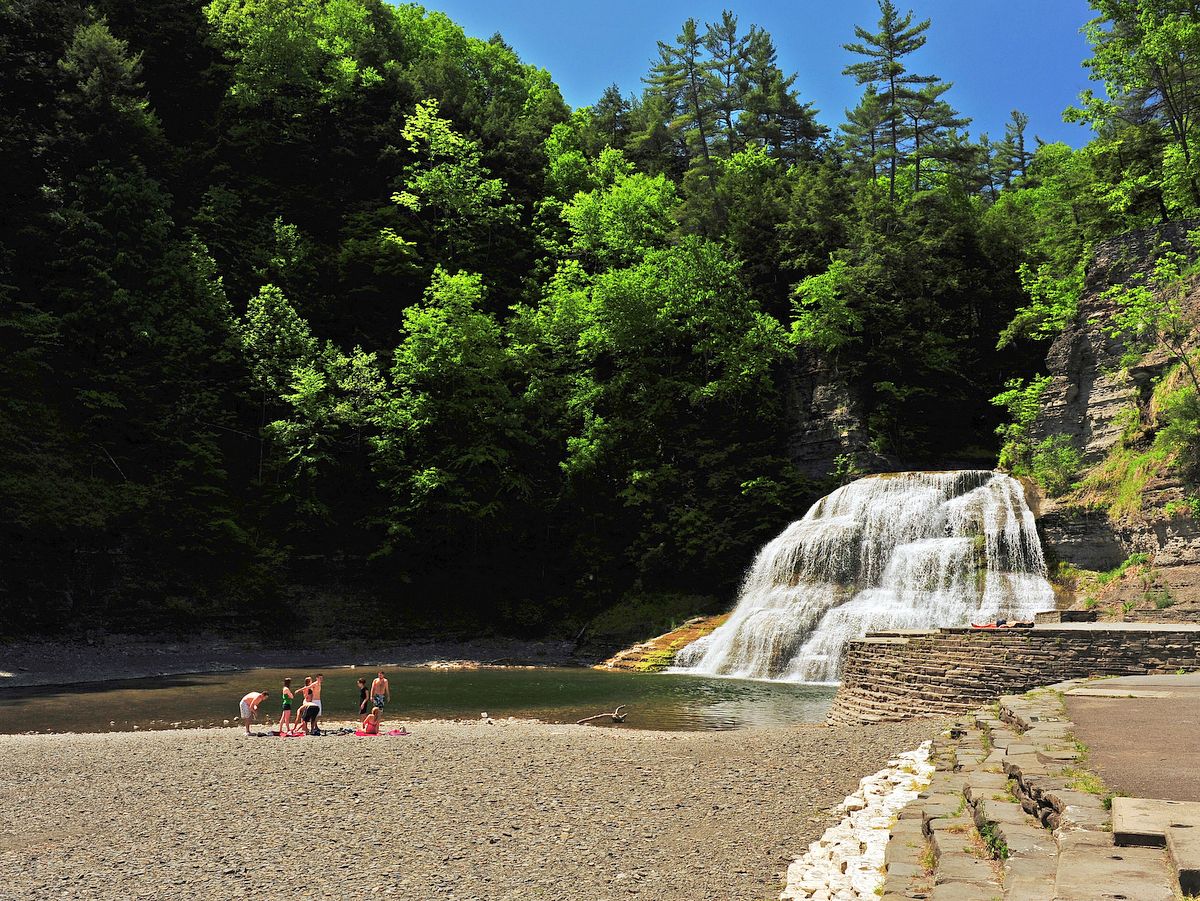
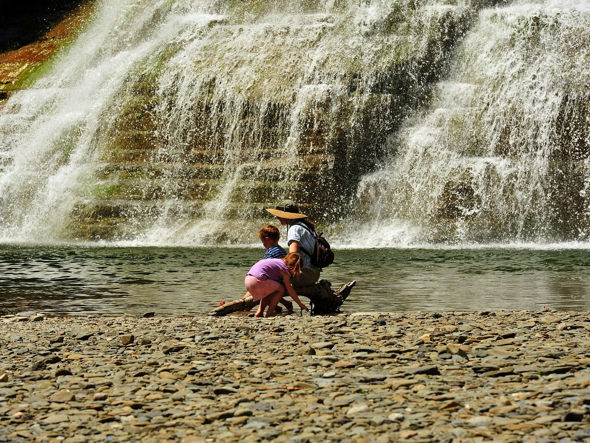
Like other gorge state parks, Robert Treman has a swimming area, campgrounds, handsome stonework, and stunning waterfalls. Like Buttermilk Falls State Park, the swimming area is beneath a beautiful waterfall and is extraordinarily popular during the summer. In fact, many of the park’s visitors are only there for the swimming so expect fewer hikers along the trail than the full parking lots might imply. Unlike other gorge parks, there is only one rim trail and portions of it are actually within the gorge. As such, much of the trail system is closed during the off-season, November-May (visit the park’s web site for current trail status).
However, there is a beautiful stretch of the Finger Lakes Trail (FLT) that runs through Treman as well. For the more adventurous, follow the FLT beyond Treman to Lick Brook Gorge and then all the way to Buttermilk Falls State Park.
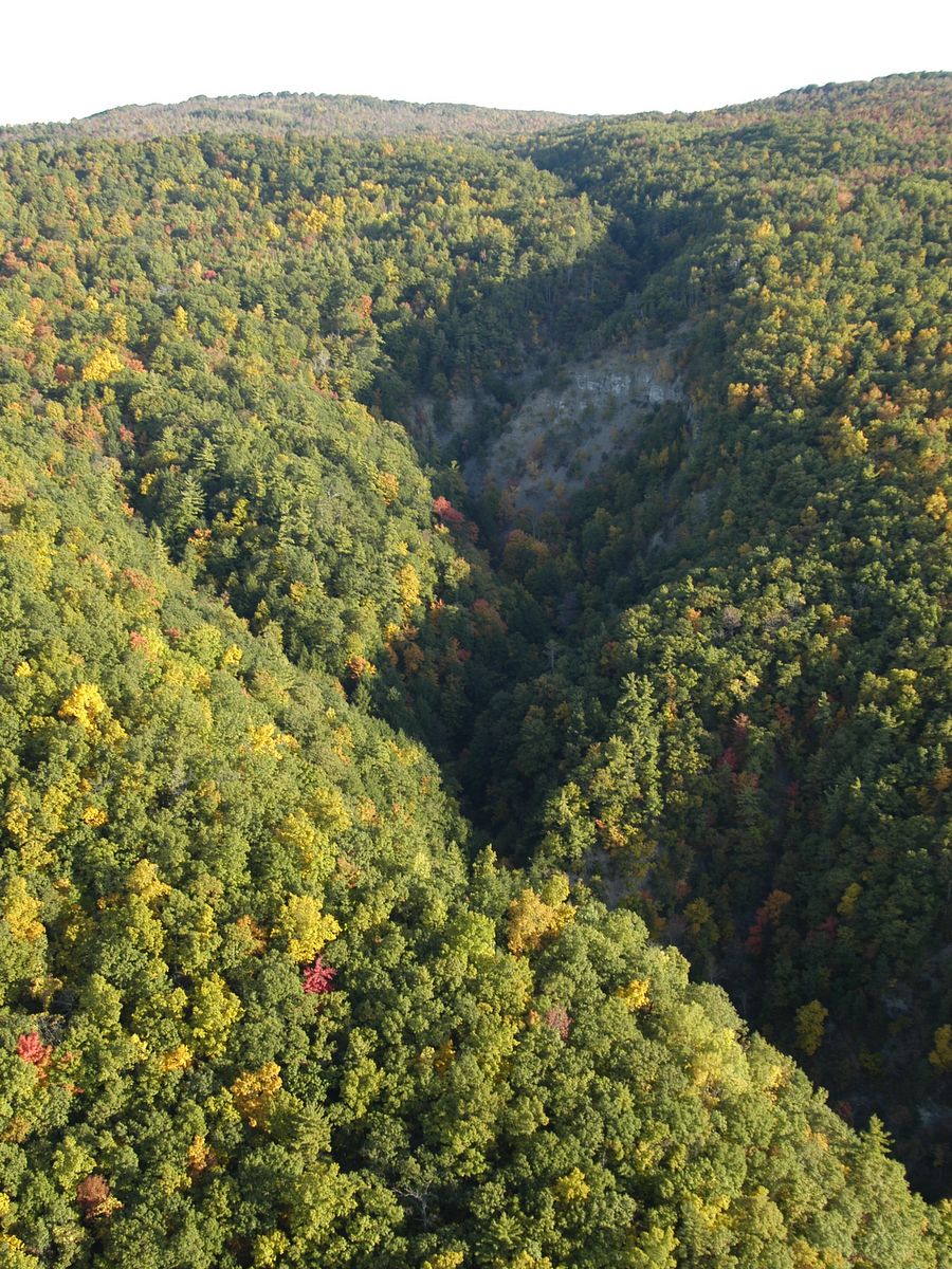
Opportunities abound for all types of outdoor enthusiasts at the High Tor Wildlife Management Area (WMA): paddling along the West River, cycling along the Lehigh Valley Rail Trail, and, of course, hiking and biking the expansive upland plateau. And you can’t leave out creek walking and gorge exploration in Conklin Gully-Parish Glen and Clark Gully. With ponds, waterfalls, rivers, gorges, forests, and open fields, there is an abundance of outdoor experiences waiting within the 6,800-acre wildlife management area.
There are over a dozen miles of hiking trails as well as a network of access roads in the 3,400-acre upland portion of High Tor WMA. No matter which approach you choose to reach the upland site, the climbing is steep. But, once you reach the top, the hiking and biking are fairly level.
Photo: Bill Hecht
Photo: Chuck Feil
Photo: Bill Hecht
Photo: Bill Hecht
Photo: Bill Hecht
Photo: Chuck Feil
Photo: Chuck Feil
West River and Hi Tor Wildlife Management Area. Photo: Chuck Feil
Photo: Chuck Feil
Photo: Chuck Feil
Photo: Nigel Kent
Photo: Nigel Kent
Photo: Nigel Kent
The trail network is a mixture of access roads and rugged worn footpaths that wind their way through open fields and dense woodlands with the occasional wooded glen and pond to spice up the experience. The trail system is also a part, albeit only a short section, of the more extensive Bristol Hill Trail, a branch trail of the even longer Finger Lakes Trail (FLT). Backpackers and thru-hikers should note that as a wildlife management area there is no camping within the unit. The one exception is group camping for youth groups, such as boy scouts, which requires a special permit. The best trail map for the area is available from the Finger Lakes Trail Conference and can be purchased individually or as part of a package that includes the entire vast FLT network, a staggering thousand miles and counting.
Conklin Gully, a recent addition to the WMA, is adjacent to the upland unit and near two of its major access points (the parking area along NY 245 and the upper parking area along Parish Hill Road). The only formal trails that explore this gully follow the rim and have several stunning scenes of the gorge and Angel Falls. The more adventurous and sure-of-foot can creek-walk the gorge. Expect to get your feet wet along this unmarked scramble and be cautious of slippery and high water conditions.
A Seneca legend tells that within this gully is a crevice from which their ancestors emerged to populate the earth.
Another creek walk, along a slightly more formal trail, explores Clark Gully in the South Hill Unit. This unit is adjacent to the West River Unit on the north side of NY 245 and is accessed via a parking area along Sunnyside Road. The gully features two smaller waterfalls that are safely accessed. A Seneca legend tells that within this gully is a crevice from which their ancestors emerged to populate the earth.
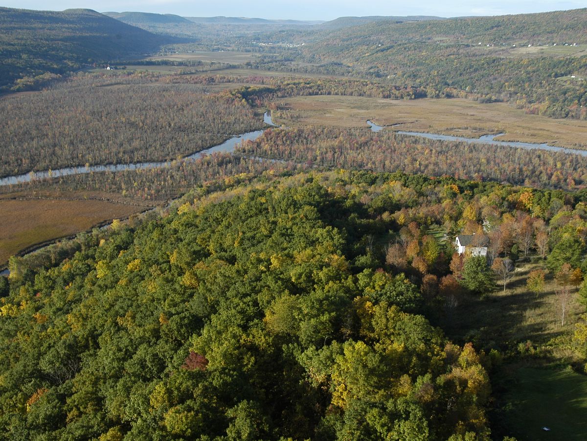
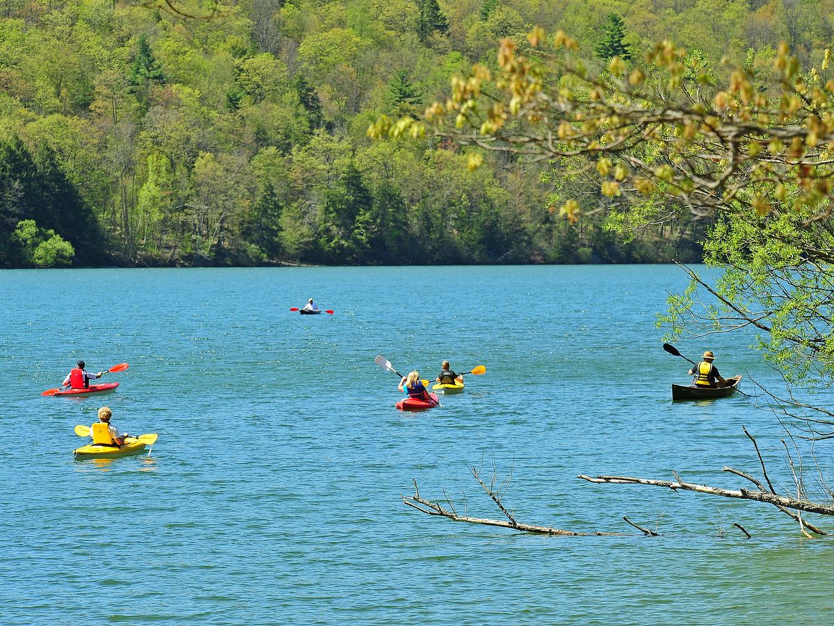
Over four miles long, the meandering West River, as well as trips along tributaries, provides ample paddling in an almost idyllic landscape. Tall cattails and thick lily pads carpet the banks throughout the 1,700-acre marshland. Surrounded by forested, over-steepened hillsides, the river and vast wetlands are truly peaceful and a world unto themselves. In fact, paddling up the West River to the developed shores and loud motors on Canandaigua Lake feels a bit like stepping forward in time as the wilderness cedes to civilization. It is akin to Adirondack paddling trips and a true testament to how removed the river and wetlands actually feel. Ambitious paddlers can explore the lake itself, but be advised strong north-south winds often fill the center of the lake with tall waves. Various car top launch points are available along the river as well as on the southwest corner of Canandaigua Lake.
This treasured flat water marsh provides ideal habitat for largemouth bass, which literally jump out of the water during the spring feeding frenzy. Rainbow trout are also known to have remarkable spawning runs along the river. Fishermen, of both human and avian varieties, flock to the river for a chance to catch the abundant fish. There is virtually no doubt that herons and other predatory birds will be seen fishing the banks of the river and often up close for excellent photo ops. No doubt the rich habitat and all the wildlife it supports is why the Audubon Society has recognized the West River and the High Tor WMA as an Important Bird Area (IBA).
There really is too much to do within the High Tor complex and several visits will be needed to take in all the sites and activities.
Mountain biking throughout the upland plateau provides extensive and challenging opportunities. After a grueling climb to the plateau, dozens of miles of interconnected gravel access roads can be enjoyed in multiple loops that wind between forest and field.
For those looking for an easier adventure, though no less scenic, you could hardly go wrong cycling along the Lehigh Valley Rail Trail, sometimes referred to as the Middlesex Valley Rail Trail. Like so many repurposed industrial corridors, the route follows an abandoned rail line, and as such the path is mostly level with a stable broad base. The nearly 10 miles of trail parallels NY 245 and passes through the West River Section of the WMA, providing those without a boat the opportunity to see the West River gem as well.
There really is too much to do within the High Tor complex and several visits will be needed to take in all the sites and activities available. Should your need for excellent outdoor destinations still be unquenched, there are the rugged trails nearby at the Great Hill (Nundawao) Nature Preserve of the Finger Lakes Land Trust and another amazing creek walk at Grimes Glen.
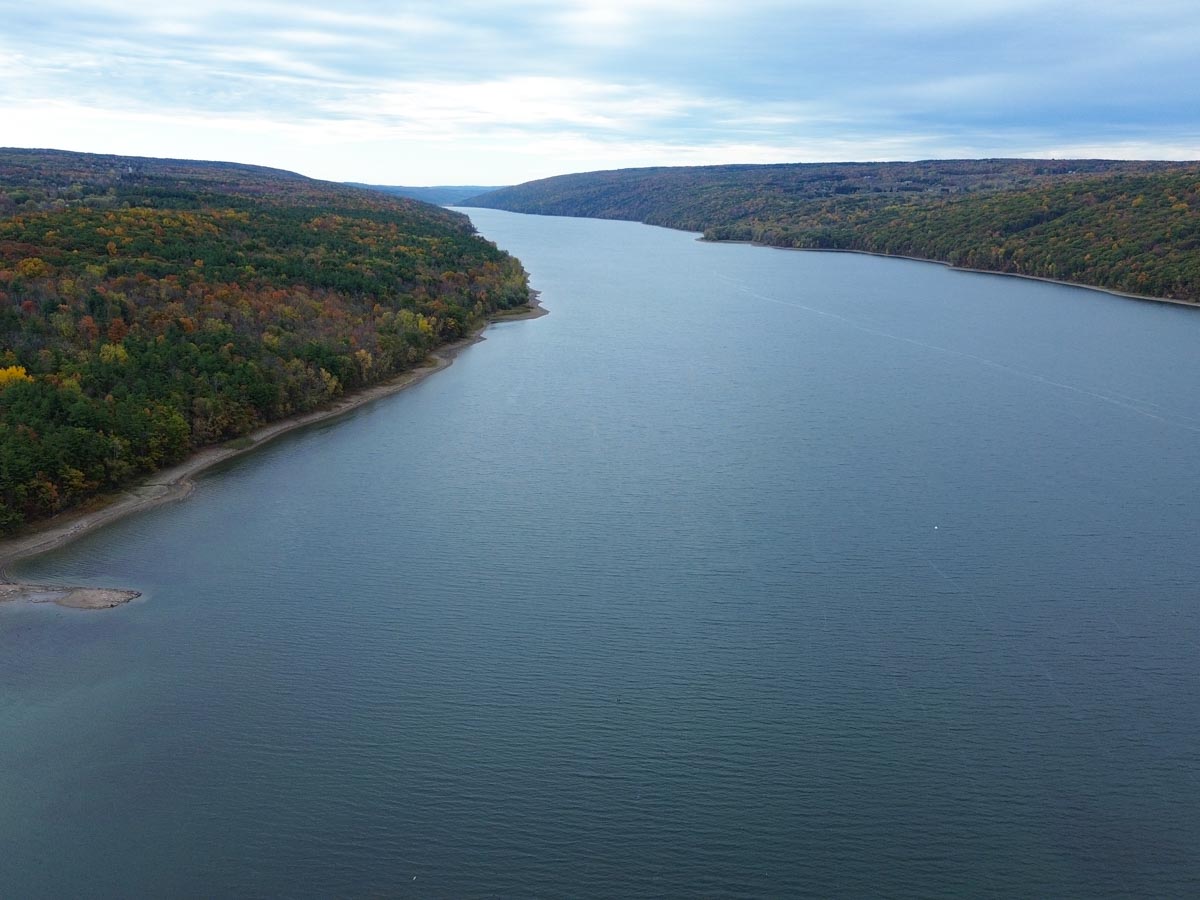
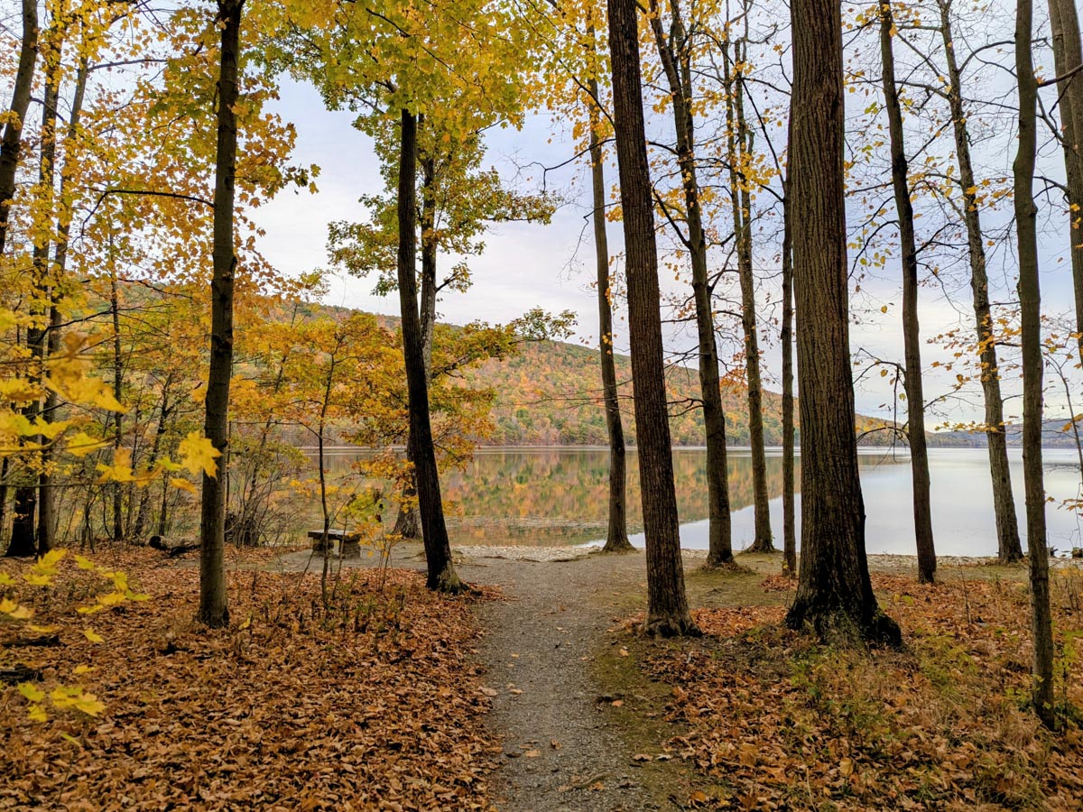
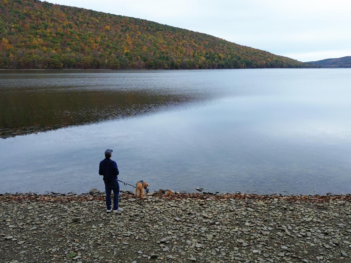
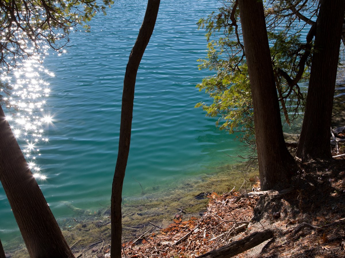
There are many beautiful places to get outdoors in the Finger Lakes, but few allow you to explore the shores of an actual Finger Lake. Not so for the trails in Hemlock-Canadice State Forest. And to put a cherry on top, so to speak, the shores of these gems are free of development and utterly wild. The unique situation is thanks to the fact that Hemlock and Canadice lakes are the source of Rochester’s drinking water supply.
Paddlers are also welcome and can enjoy these tranquil waters, free of the common boat traffic found on all of the other Finger Lakes. Lacking the typical houses and cottages as well as large noisy boats, exploring Hemlock-Canadice State Forest is like stepping back in time to behold the Finger Lakes in their natural state. It’s an opportunity and experience to cherish but its destiny as such has not always been certain.
Photo: Nigel Kent
Photo: Nigel Kent
Photo: Nigel Kent
Photo: Nigel Kent
Photo: Nigel Kent
Photo: Nigel Kent
Photo: Nigel Kent
Photo: Nigel Kent
Photo: Nigel Kent
Photo: Nigel Kent
Photo: Nigel Kent
Photo: Nigel Kent
Photo: Nigel Kent
Photo: Nigel Kent
Photo: Nigel Kent
Photo: Nigel Kent
Photo: Nigel Kent
Photo: Nigel Kent
Photo: Nigel Kent
Photo: Nigel Kent
Photo: Nigel Kent
Photo: Nigel Kent
Photo: Nigel Kent
Photo: Nigel Kent
Photo: Nigel Kent
Photo: Nigel Kent
Photo: Nigel Kent
Photo: Nigel Kent
Photo: Nigel Kent
Photo: Matt Sitler
Photo: Matt Sitler
Photo: Matt Sitler
The lake shores were in fact at one time developed, but in the late 1800s, the City of Rochester began purchasing land surrounding Hemlock and Candice lakes to secure a clean supply of water. This continued until the entirety of these small lakes were owned by the city. The forests surrounding the lakes act as natural purifiers; clean water is one of the many positive effects of land conservation.
In the 1980s, new EPA rules required that the water supply also be actively filtered. Concern developed that if the lake water was actively purified then the need for the city to preserve natural buffers would not be as critical. Fears grew that the city would sell off the land, and the pattern of over-development seen on the shores of other Finger Lakes would replicate here, threatening the pristine condition of these wild lakes. Fortunately in 2010, through a partnership between the Nature Conservancy and the NYS Department of Environmental Conservation (DEC), the land was transferred from the city to the state to ensure permanent preservation and stewardship.
Since the need to preserve the integrity of the water supply still exists (natural buffers and natural filtration reduce the costs of purification), this state forest has a few extra restrictions. For outdoor adventurers, noteworthy restrictions include no camping, no fires, no swimming, and no horses allowed.
The main restrictions for boaters are that boats must be less than 17 feet and cannot have motors more powerful than 10 hp. Additionally, boating and fishing are prohibited in the northernmost sections of the lakes: north of the northernmost boat launch on Hemlock Lake and 500 feet from the north end of Canadice Lake. Otherwise, these preserved lands offer an abundance of recreational activities. With over 2,000 acres of placid water to paddle and over 20 miles of multiuse trails, there is a lot to do and see and the opportunities are expanding.
Thanks to the Nature Conservancy, a swath of land between the already protected lands around Canadice and Hemlock lakes is conserved and serves as a corridor between the two once-divided preserves. The property is known simply as Rob’s Trail, named after Rob van der Stricht — a longtime conservationist and advocate for the Finger Lakes — and the property does indeed feature a trail. Originally, Rob’s trail had a short loop trail high on the western slope of Candice Lake as well as a spur trail down to Canadice Lake. In 2016, the dream of connecting the two lakes with an actual trail became reality. The new trail was built through a partnership between the Nature Conservancy, the DEC, and hundreds of volunteers. Hikers can now explore the two lakes, gorges, and a waterfall that were previously inaccessible.
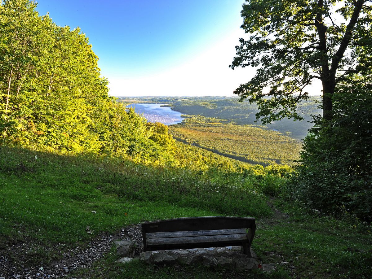
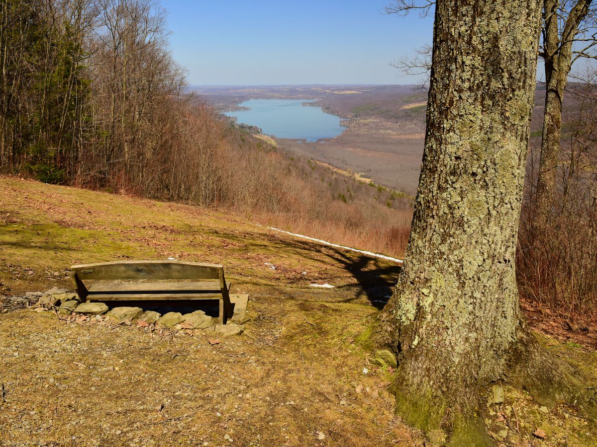
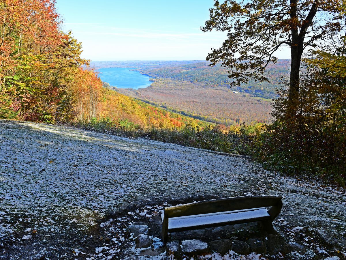
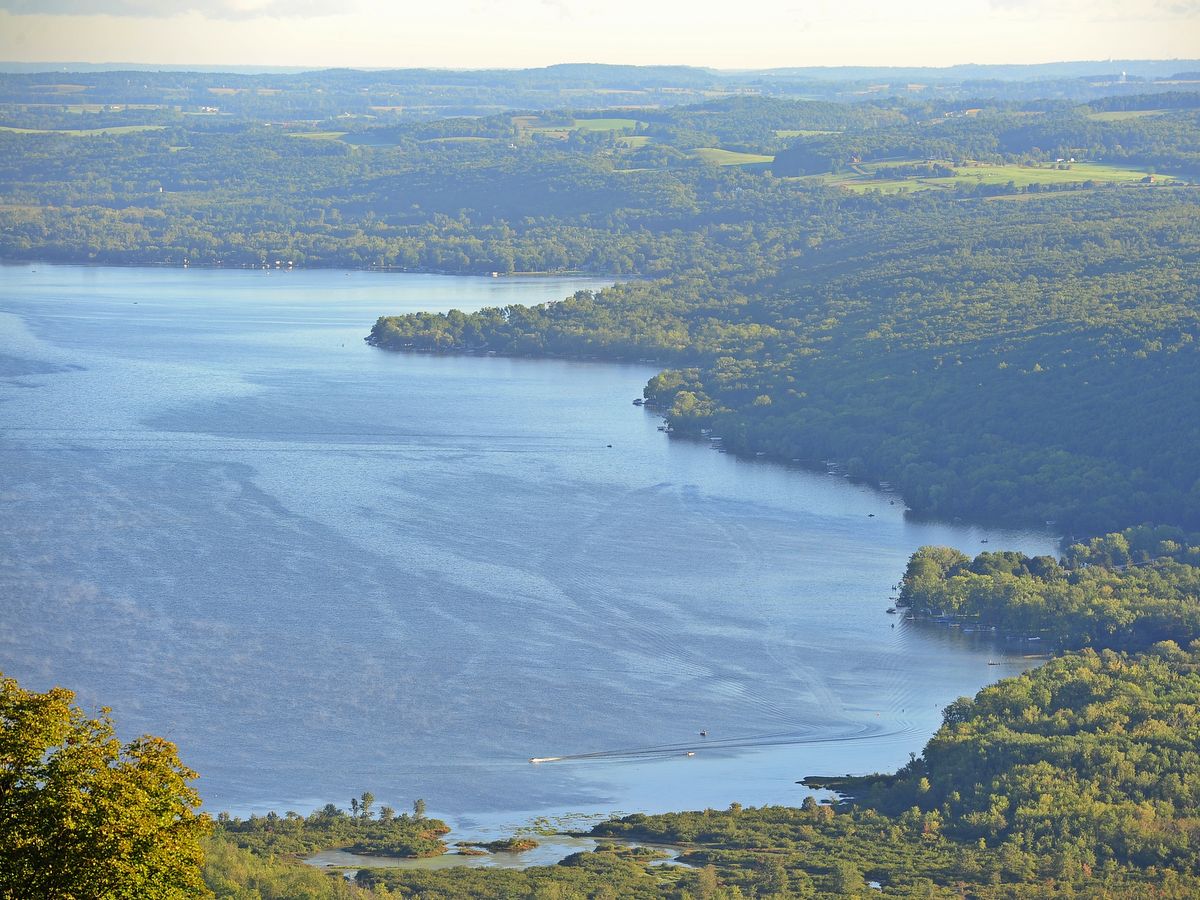
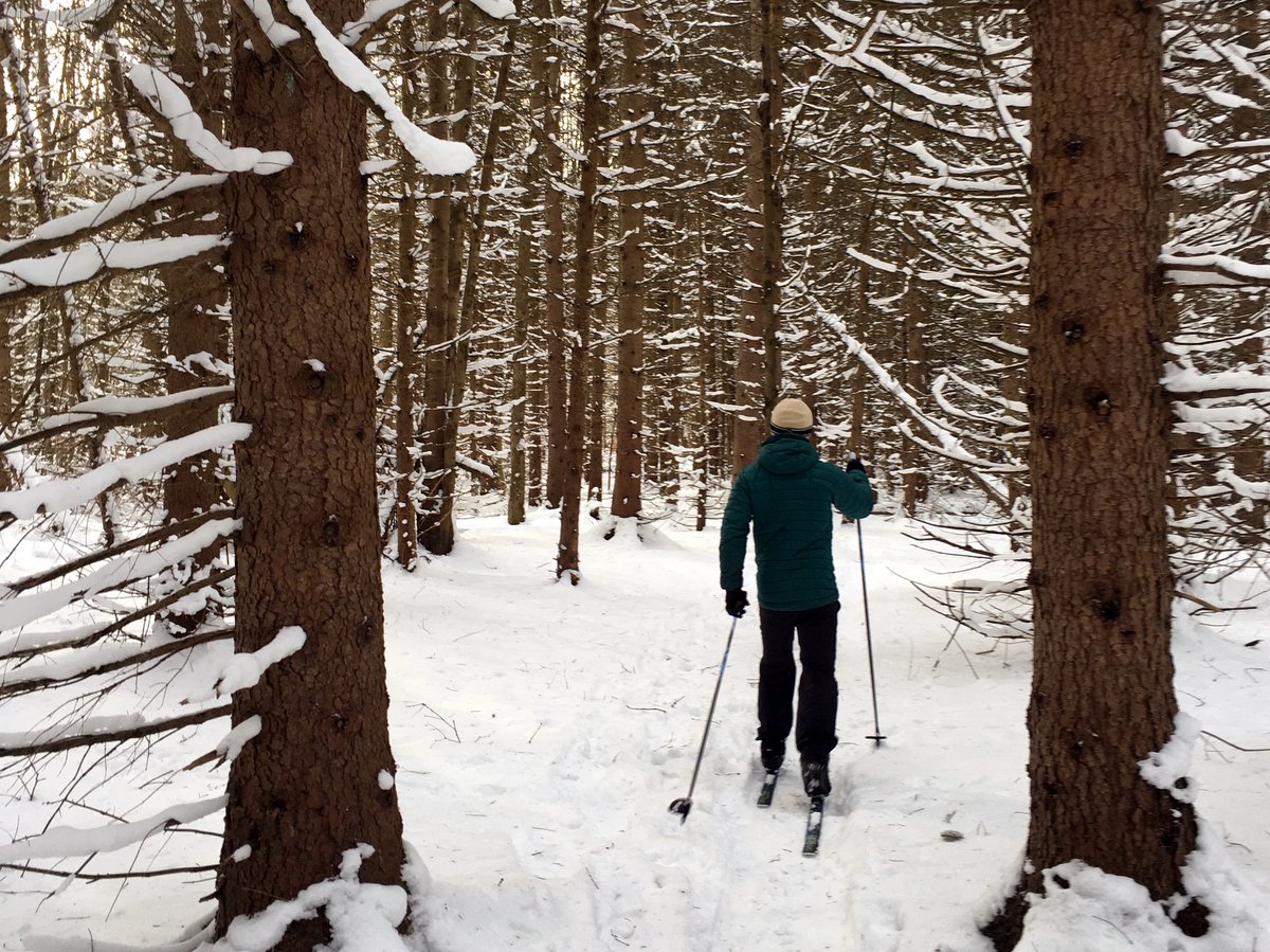
Just as Hammond Hill is a premier cross-country skiing destination for Ithaca folks, and Highland Forest the likely destination for Syracuse cross-country skiers, Harriet Hollister Spencer Recreation Area is a well-deserved hub for Rochester-area skiers. With an elevation greater than 2,000 feet, the dense woodland receives far more reliable snow cover than elsewhere in the region.
Indeed, visiting in the summer feels a bit odd as the trails are all marked with winter activities in mind: slope difficulty for skiers, snowmobile crossings, and pleas for snowshoers to walk beside (and not on) skier tracks. But what makes it ideal for these winter activities — a deep woodland feel with broad stable trails that include lots of lengthy lines-of-sight — also makes for an enjoyable hike or bike ride in the other seasons. Not to mention the picturesque panoramic view of Honeoye Lake and its steep-sided valley along the Overlook Trail.
Photo: Nigel Kent
Photo: Nigel Kent
Photo: Nigel Kent
Photo: Nigel Kent
Photo: Nigel Kent
Photo: Nigel Kent
Photo: Nigel Kent
Photo: Nigel Kent
Photo: Nigel Kent
Photo: Nigel Kent
Photo: Matt Sitler
Photo: Matt Sitler
Photo: Matt Sitler
Photo: Matt Sitler
Photo: Matt Sitler
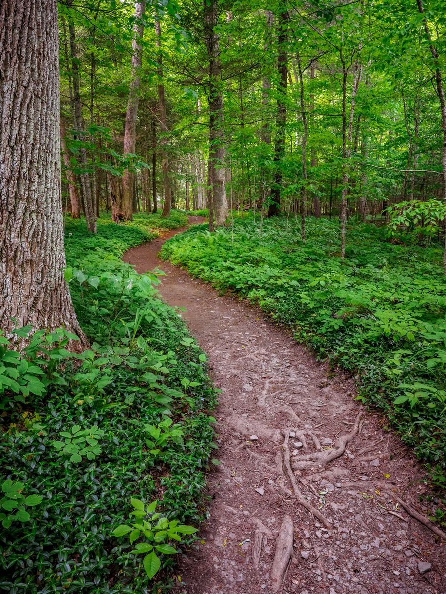
The roughly 20-mile trail network weaves through mostly deciduous forest that is currently reclaiming the previously developed landscape. Vestiges of past uses dot the area, but the transformation is well underway and a friendly reminder of nature’s persistence. The majority of trails follow old forest roads, but singletrack paths also round out the network of interconnected and parallel loops. Trips of varying length and difficulty can be accomplished and though difficulty is often noted on the trail, the rating is related to skiing and not necessarily other uses.
If there is a downside it may be that there are perhaps too many options. Though many intersections are clearly marked, some are not and many intersections occur within such close proximity that it can be a bit unclear exactly which intersection you may have reached. Of course, thanks to trail grooming by the Rochester Cross Country Ski Foundation, the right track is readily clear for winter adventurers.
The recreation area began as a charitable gift from the site’s namesake, Harriet Hollister Spencer, a Rochester civic leader and horticulturist in 1962. The original donation was 679 acres, but the preserved acreage has grown to over 1,550 acres thanks to the combined effort of New York State and the Nature Conservancy. As a state recreation area, the site has some of the features you would associate with a state park, notably a pavilion and picnicking areas, but it is considerably less developed and allows more activities. It lies somewhere between the rigorously maintained but structured state park and the slightly wilder and more flexible state forest.
The recreation area performs admirably in its role to provide multiple healthy outdoor recreation opportunities, but it also has the mutual benefits of protecting water quality and providing a continuous natural connective corridor between the Finger Lakes smaller gems: Hemlock and Canadice and Honeoye Lakes.
Hammond Hill is a popular destination for mountain bikers and cross-country skiers and it is easy to see why. Not only is the trail system well-built and maintained, it also features some very desirable conditions for these and other outdoor activities. The majority of the trails follow old forest roads and as such are broad and have mostly even surfaces. Many are long, straight corridors so that riders and skiers have clear views of what’s ahead, which is especially helpful for the downhill portions.
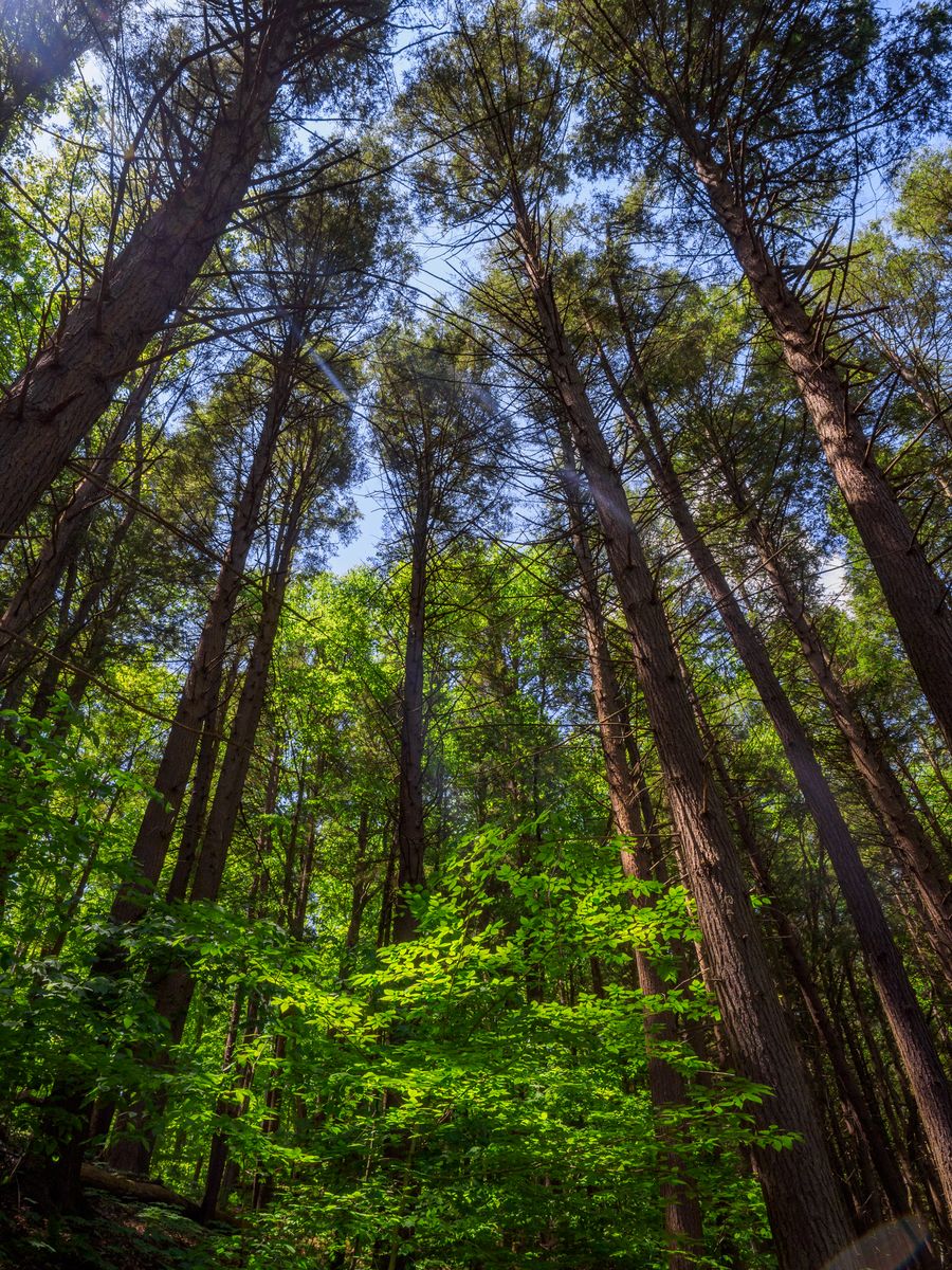
Wide trails provide an easy way to pass other adventurers and the lack of blind corners help users see who or what is coming — essential for safely sharing the trail. Perhaps more important than the trail structure is that the 20+ mile trail network explores a forest with towering and majestic oaks reminiscent of old-growth forest giants.
Photo: Brian Maley
Photo: Brian Maley
Photo: Brian Maley
Photo: Tom Reimers
Photo: Tom Reimers
Photo: Brian Maley
Photo: Brian Maley
Photo: Brian Maley
Photo: Brian Maley
Photo: Tom Reimers
Photo: Tom Reimers
Photo: Tom Reimers
Photo: Hannah George
Photo: Cat Massa
Visitors should note that the roads that run through the forest are seasonal and rough. Access via the longer Canaan Road would be better suited to high clearance vehicles, while lower clearance cars will find access along Hammond Hill Road and the western section of Star-Stanton Hill road more desirable. The main parking area for skiers is located on Hammond Hill Road and is the parking area most likely to be plowed in winter.
The network of trails has been divided and classified by difficulty: beginner, intermediate, and advanced. While the Department of Environmental Conservation (DEC) web site lists the different segments and their respective designations, it does not actually show the designations on their map.
The trails themselves are well marked, but for an accurate map you may have to look on the Cayuga Nordic Ski Club’s page. Like the DEC site, the club page classifies trails by color, number, and difficulty, and their assessment is pretty accurate. This isn’t surprising since they are part of a group of active volunteers who help to build and maintain the trails in the state forest. Through the Adopt a Natural Resource program (AANR), the collaborative efforts of the DEC, Cayuga Nordic Ski Club, Finger Lakes Land Trust, Friends of Hammond Hill, and the Town of Dryden have helped to build an ideal network of trails.
For hikers looking to expand their adventure, there is a section of the Finger Lakes Trail (FLT) along the eastern edge and a newly constructed connector trail to the Roy H. Park Preserve on the western edge. Please note, these trails are for foot travel only. The preserve is a Finger Lakes Land Trust property that is open to the public and helps create a bridge of protected lands by more fully connecting Hammond Hill State Forest with Yellow Barn State Forest, creating one more link in the ambitious Emerald Necklace project.
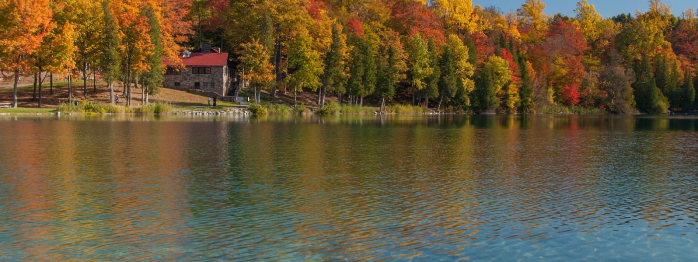
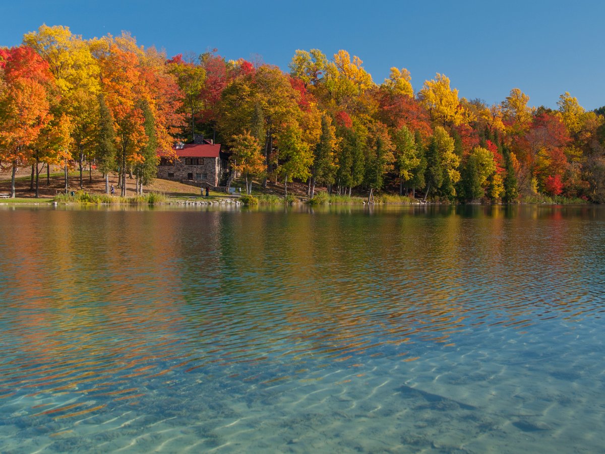
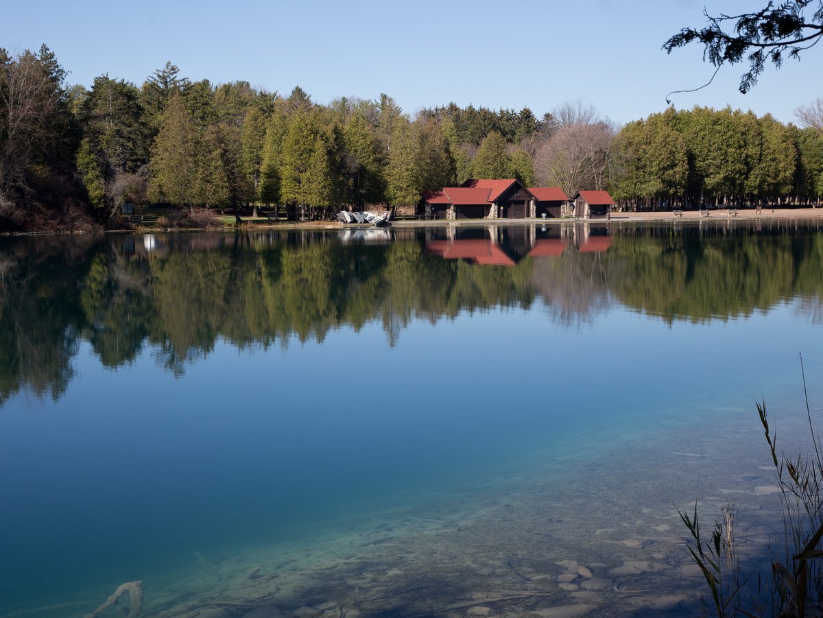
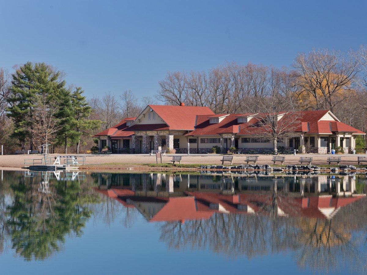
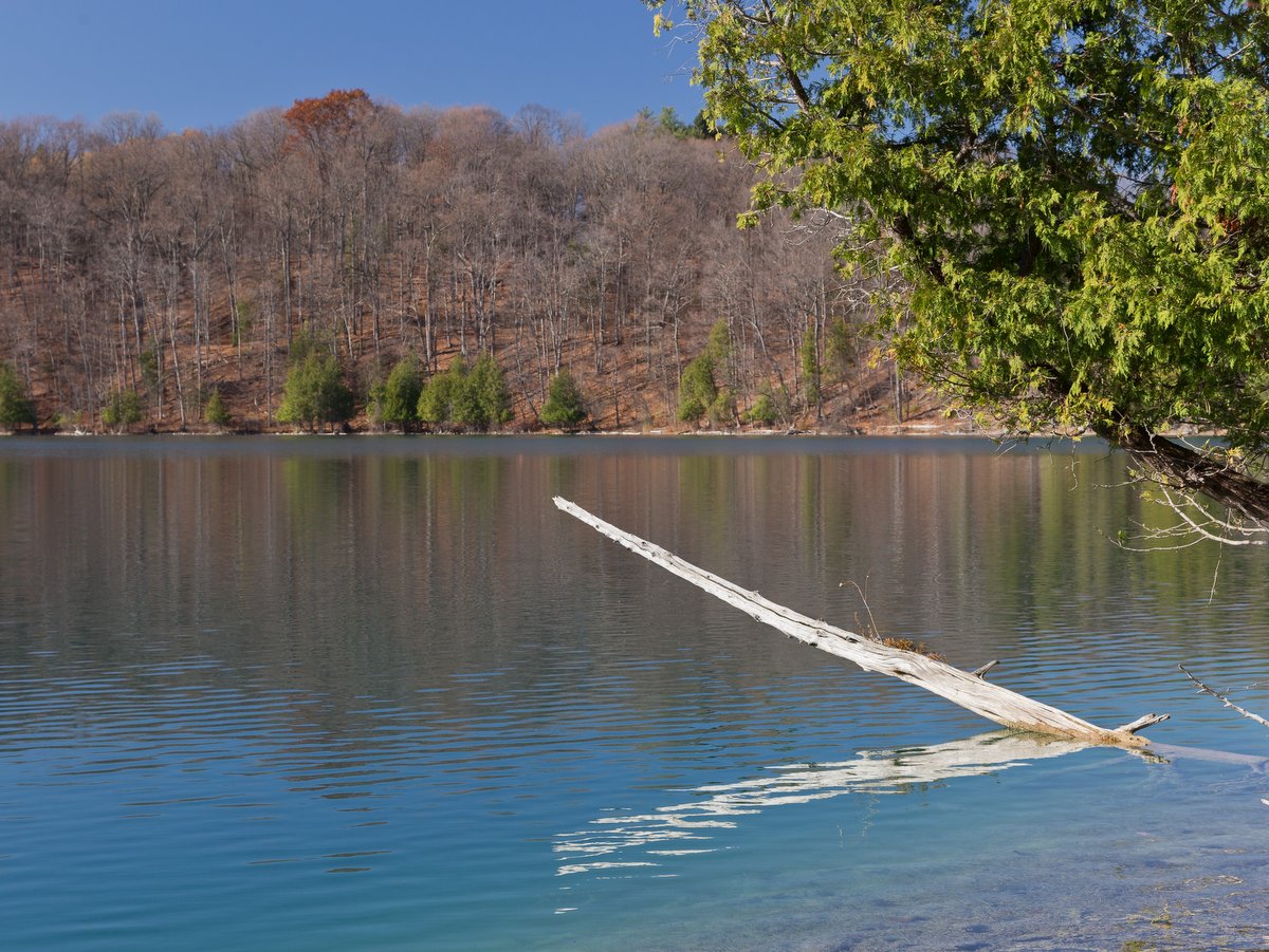
With nearly 20 miles of trails, old-growth forests, two pristine lakes, boat rentals, 137 campsites, a sandy swimming beach, and even golf courses (traditional and disc versions), there are numerous ways to get outside and enjoy Green Lakes State Park.
At the heart of the 1,955-acre park, literally and figuratively, are two meromictic lakes — a unique condition where surface waters and deeper waters do not intermix. Formed during the last ice age nearly fifteen thousand years ago, the two lakes are essentially giant plunge pools. Great waterfalls flowing off the receding edge of the glaciers scooped out nearly 500 feet of rock to form deep, steep-sided lakes that are incongruous with the present-day landscape. Smaller versions of this process can be seen at plunge pools within the many gorges and waterfalls for which the Finger Lakes region is famous, such as Buttermilk Falls State Park.
Photo: Chris Ray
Photo: Chris Ray
Photo: Chris Ray
Photo: Chris Ray
Photo: Chris Ray
Photo: Chris Ray
Photo: Chris Ray
Photo: Chris Ray
Photo: Chris Ray
Photo: Chris Ray
Photo: Chris Ray
Photo: Rob Howard
Photo: Rob Howard
Photo: Rob Howard
Photo: Rob Howard
Photo: Rob Howard
Photo: Rob Howard
Photo: Rob Howard
Photo: Rob Howard
Photo: Rob Howard
Photo: Rob Howard
Photo: Rob Howard
Photo: Rob Howard
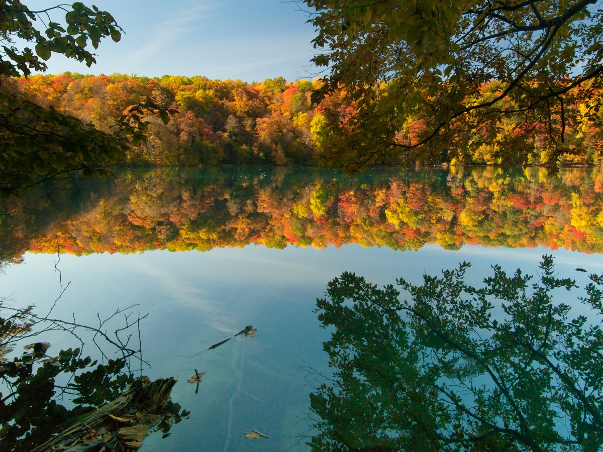
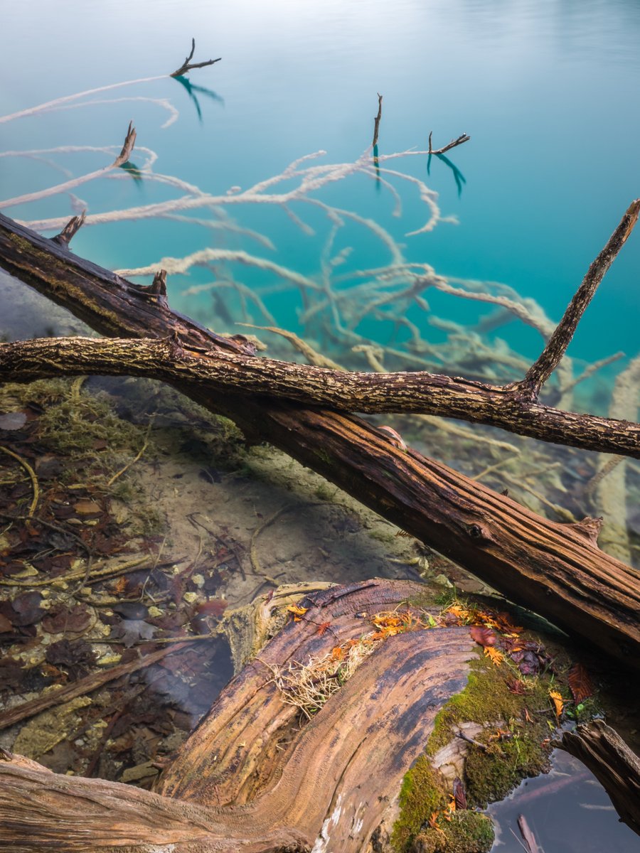
The deep nature of these lakes — Green Lake is estimated to be 195 feet deep and Round Lake to be 180 feet deep — and their unique water chemistry create conditions that prevent the layers of water from intermixing. The minerals and salts, mostly calcium carbonate, that leech into the lake from the groundwater also account for the lakes’ green appearance.
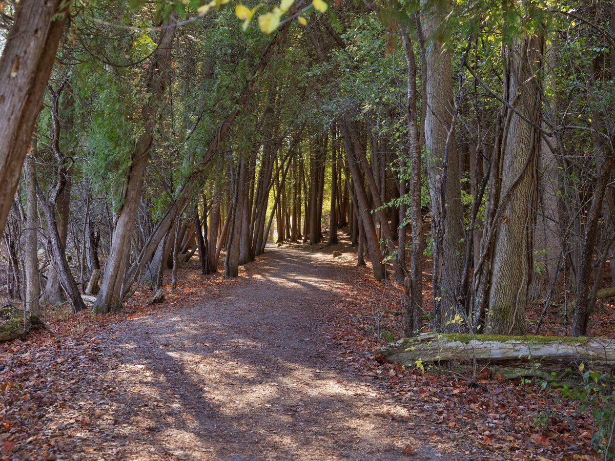
During late May to early June, the lakes undergo an annual “whiting” event where the calcium carbonate precipitates out of the water and settles to form reef-like structures — yet another spectacle only observable at this park. The most striking “reef” is found at Deadman’s Point, but other examples are observable at numerous points around the flat lakeside trails. These trails are heavily traveled, constantly maintained, well developed, feature numerous benches, and see steady traffic from a mix of walkers and joggers.
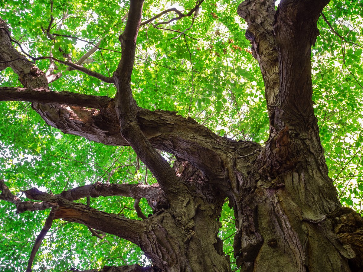
The natural wonders don’t stop with the lakes. The gorge, with steep slopes over 150 feet high, and surrounding area feature old-growth forest as well. The peculiar nature of the lakes and the old-growth forest were all contributing factors when Round Lake was designated as a National Natural Landmark in 1973. Old-growth forests, a rare circumstance in the northeast, feature multi-layered canopies and large diameter trees measured here in feet, not inches, as seen in most New York forests. Several of the trees towering here were mature by today’s standard well before the American Revolution began.
The trails through this forest can be reached at the western edge of Round Lake and are less frequented by most of the park’s visitors. Indeed, the trail network above the lake is more extensive than around the lake (approximately 13 miles of trails), and a little distance is always a sure way to find a bit more solitude. The west section trails weave between woodlands and open fields and feature mowed trails and most of the mixed-use/biking trails as well.
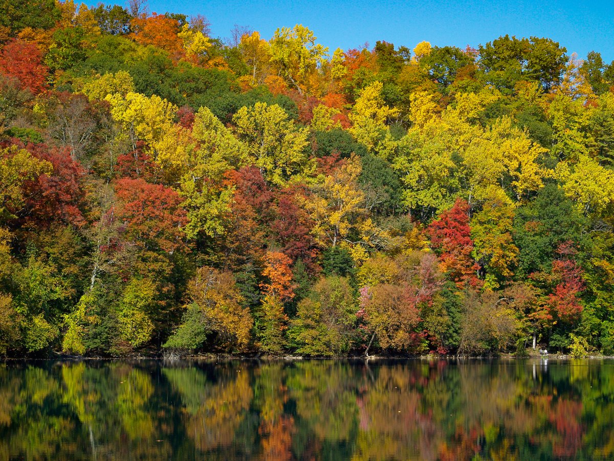
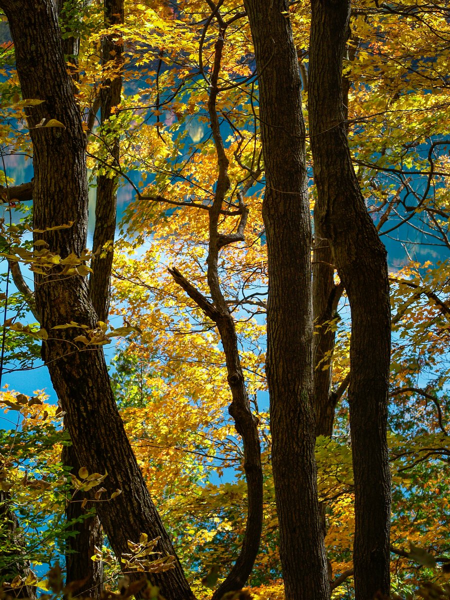
Summer is when the vast majority of visitors frequent the park, but it remains open year-round and has equally stunning scenery and outdoor activities in other seasons. Multicolored leaves emblazoned around the blue-green lakes make for a particularly striking setting in the fall. In the winter, snowshoeing and extensive cross-country skiing trails (10 miles of groomed trails) expand the list of available activities even further.