Share This Location


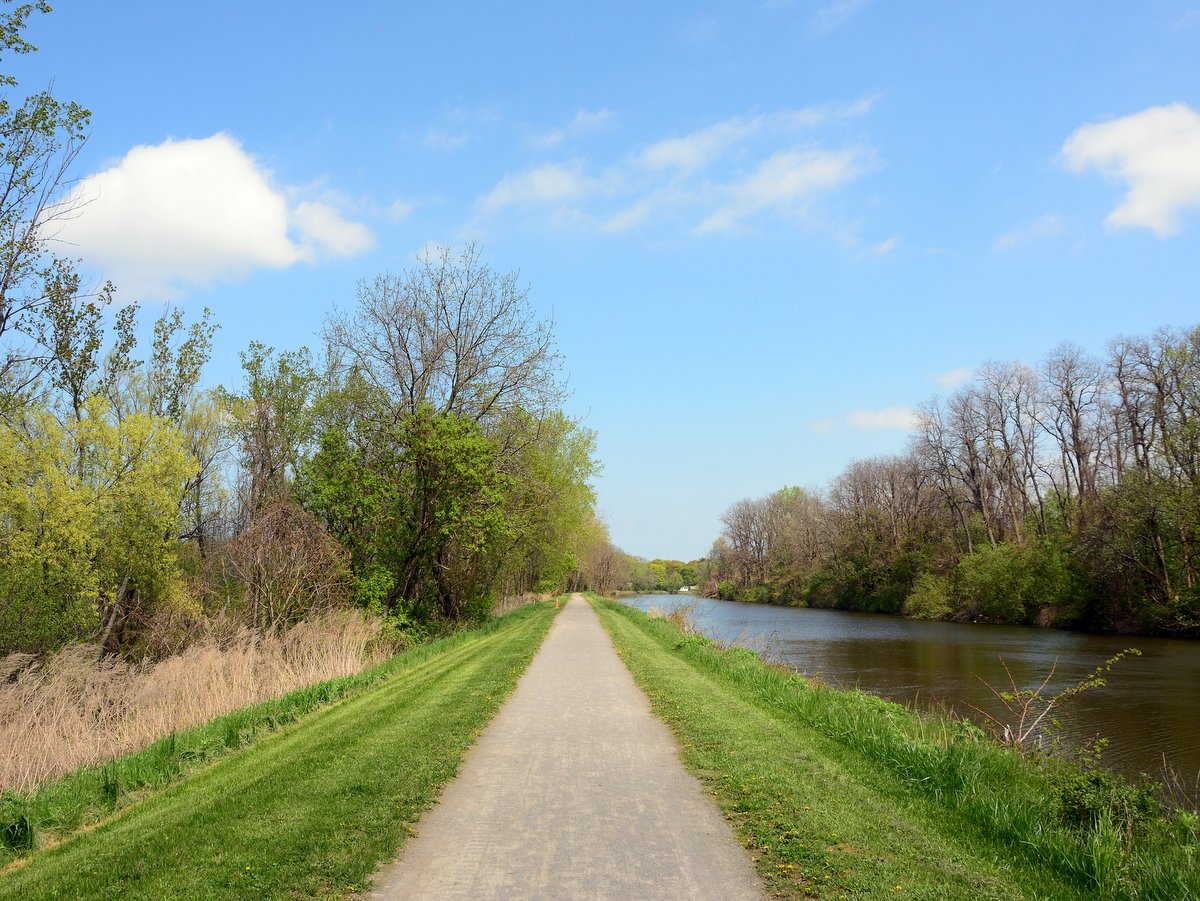
There is something unique about traveling along infrastructure that is not meant for automobiles. Perhaps it is the simple nature of a hand-dug canal or the slower pace, but trips beside the Erie Canal often feel like stepping back into pre-industrial America.
Along many sections of the Empire State Trail, the flow of travel is interrupted by frequent intersections with bisecting roads. The pattern of starting and stopping breaks the immersion when the realities of modern life and the presence of cars interrupt the excursion.
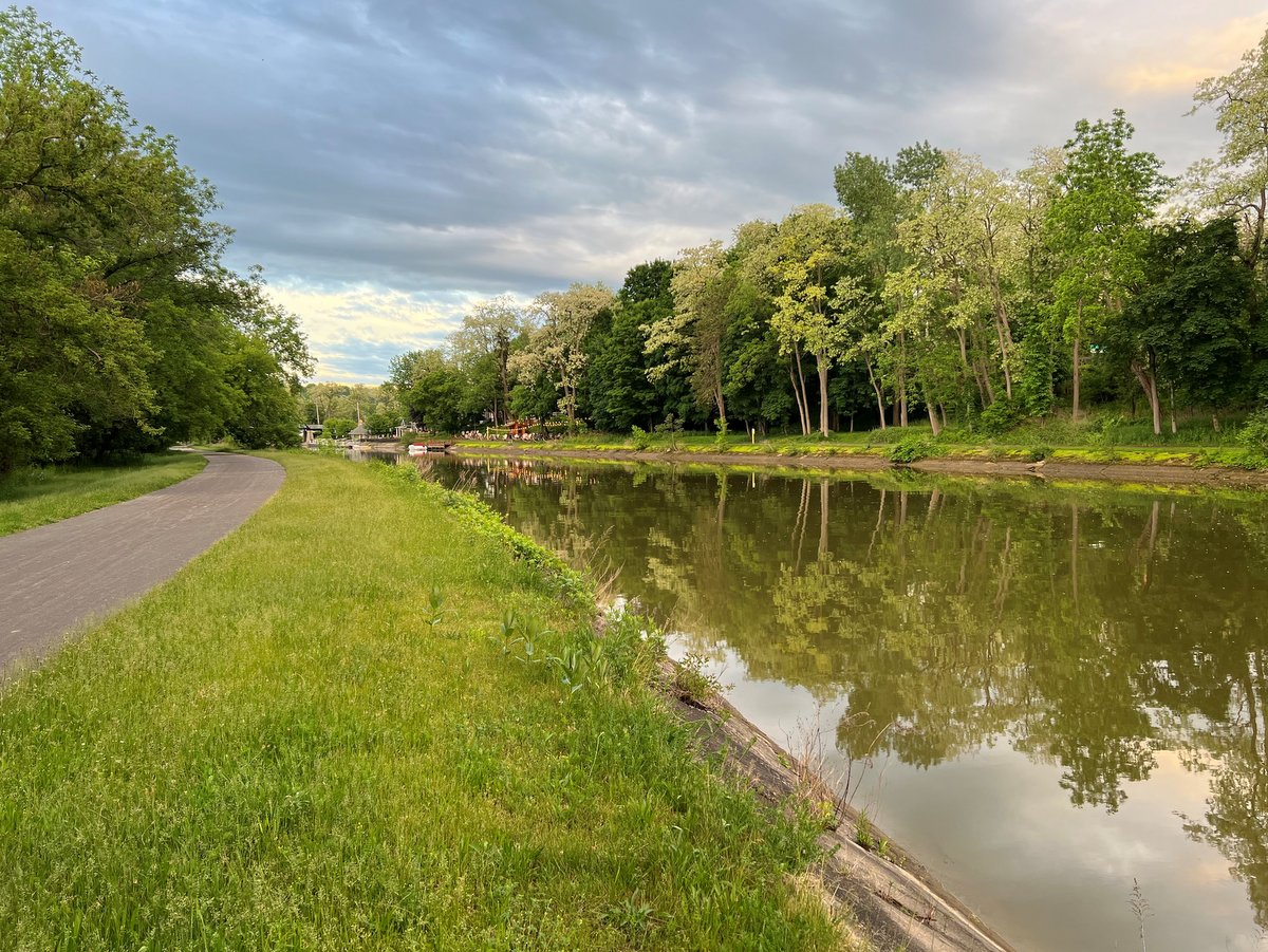
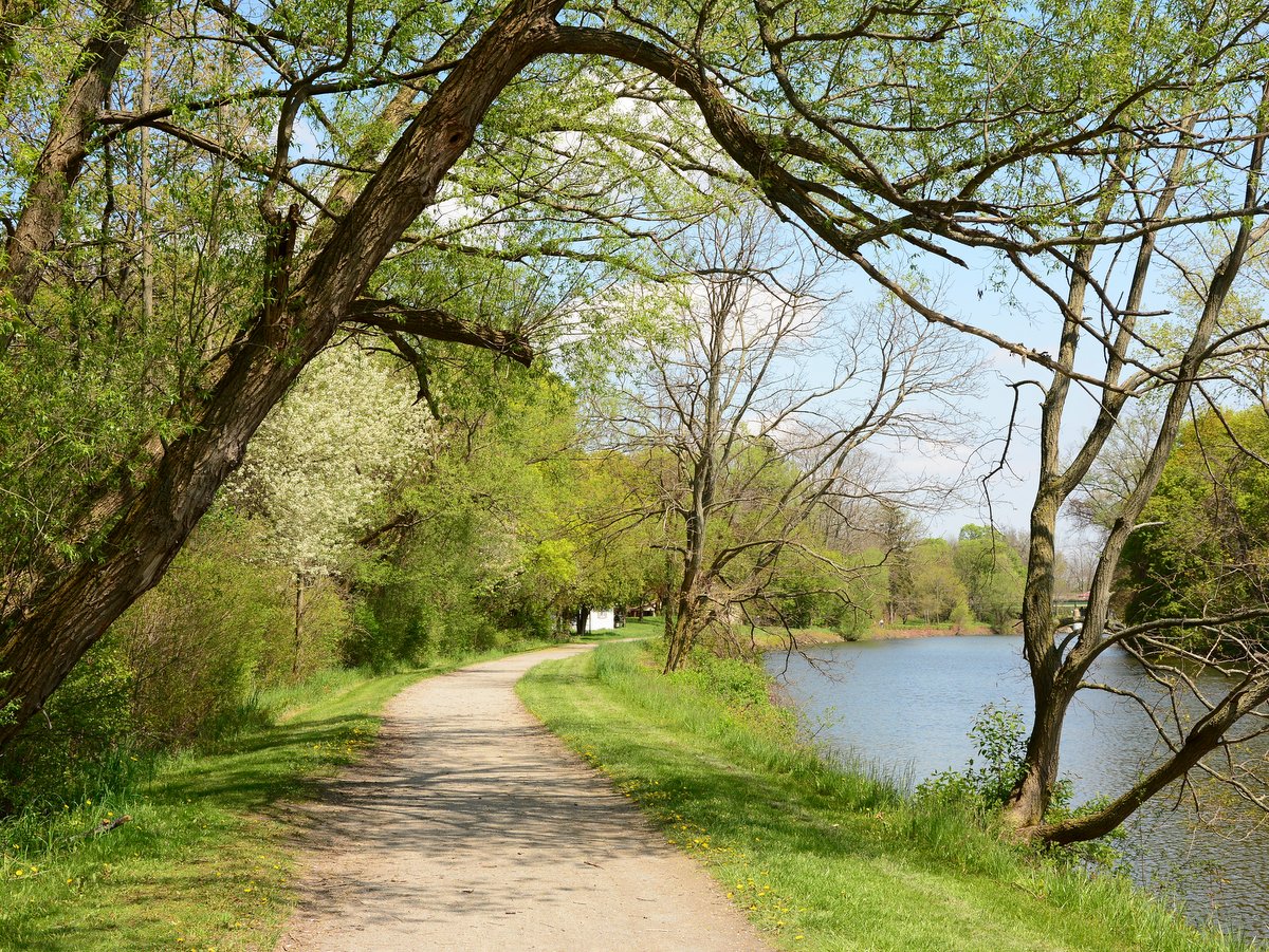
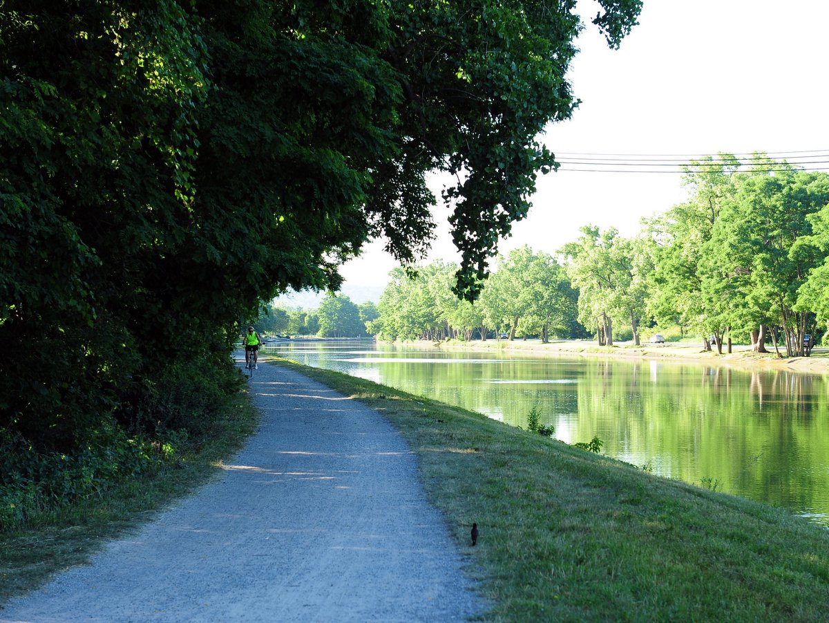
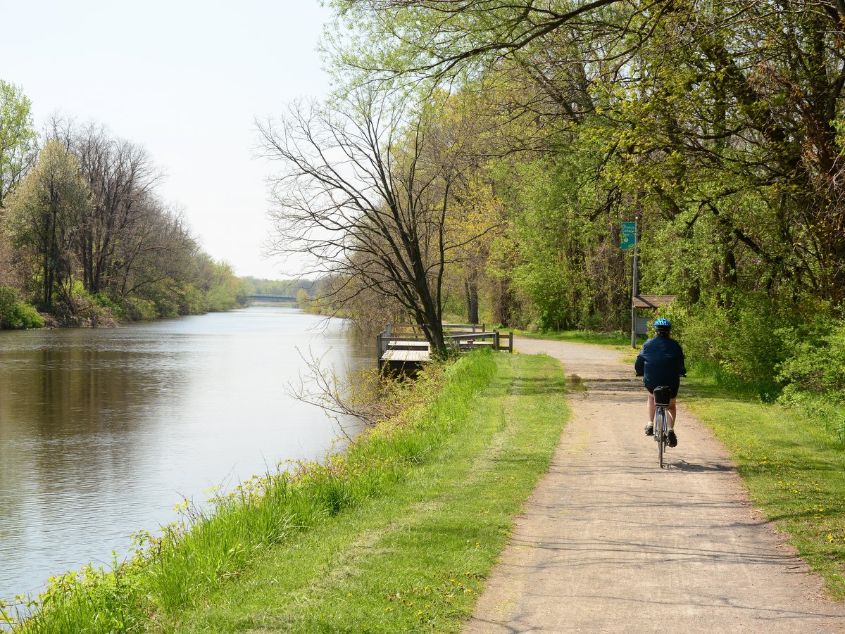
But along the Pittsford-Fairport section, there are miles of unbroken stone dust trail, where intersecting roads pass over the canal and towpath. For paddlers and boats, this is a necessity; for pedestrians, a convenience; and for cyclists, a pure delight. The dedication of space for people, not cars, is what makes this section of the Empire State Trail a true gem.
The opening of the Erie Canal was one of the most transformative events in American history. To note all of its economic and cultural effects would fill many tomes but in brief, consider a few facts. The Erie Canal’s completion shifted the financial and commerce centers of the United States from the South to the North. Immigration also followed. It opened up the west for expansion and that expansion was seeded with the ideals and beliefs that were taking root in the northern abolitionist states. Decades later when the US entered into the Civil War, many would argue that financial resources and manpower available from this shift were the decisive factors that determined the outcome.
In Upstate New York and the Finger Lakes, the most obvious effect was the population explosion. Precursors to the boomtowns of later westward expansion, sleepy hamlets and villages exploded into cities and towns in mere decades. Soon the derisive moniker of “Clinton’s Ditch” or “Clinton’s Folly” shifted to the “Mother of Cities” and the “Eighth Wonder of the World.” Before the canal was built, Upstate New York’s largest population centers were as follows: Buffalo, no more than 2,000; Rochester, around 1,000; and Syracuse, 250. Within 25 years, the populations of these cities quadrupled—Syracuse increased by more than forty-fold in 10 years. By the turn of the next century, roughly 75 years after the canal opened, Buffalo had a population of 352,387 (the 8th largest city in the US at the time), Rochester had 162,608, and Syracuse had 108,374. Even today, 80% of Upstate New York’s population still resides within 25 miles of the canal.
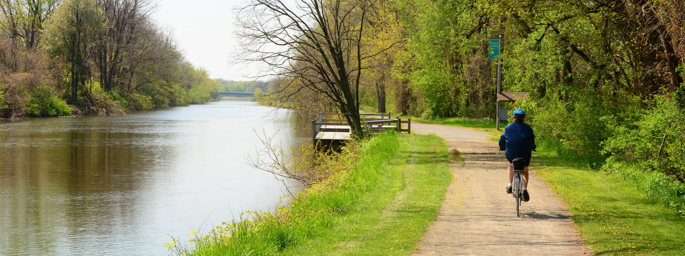
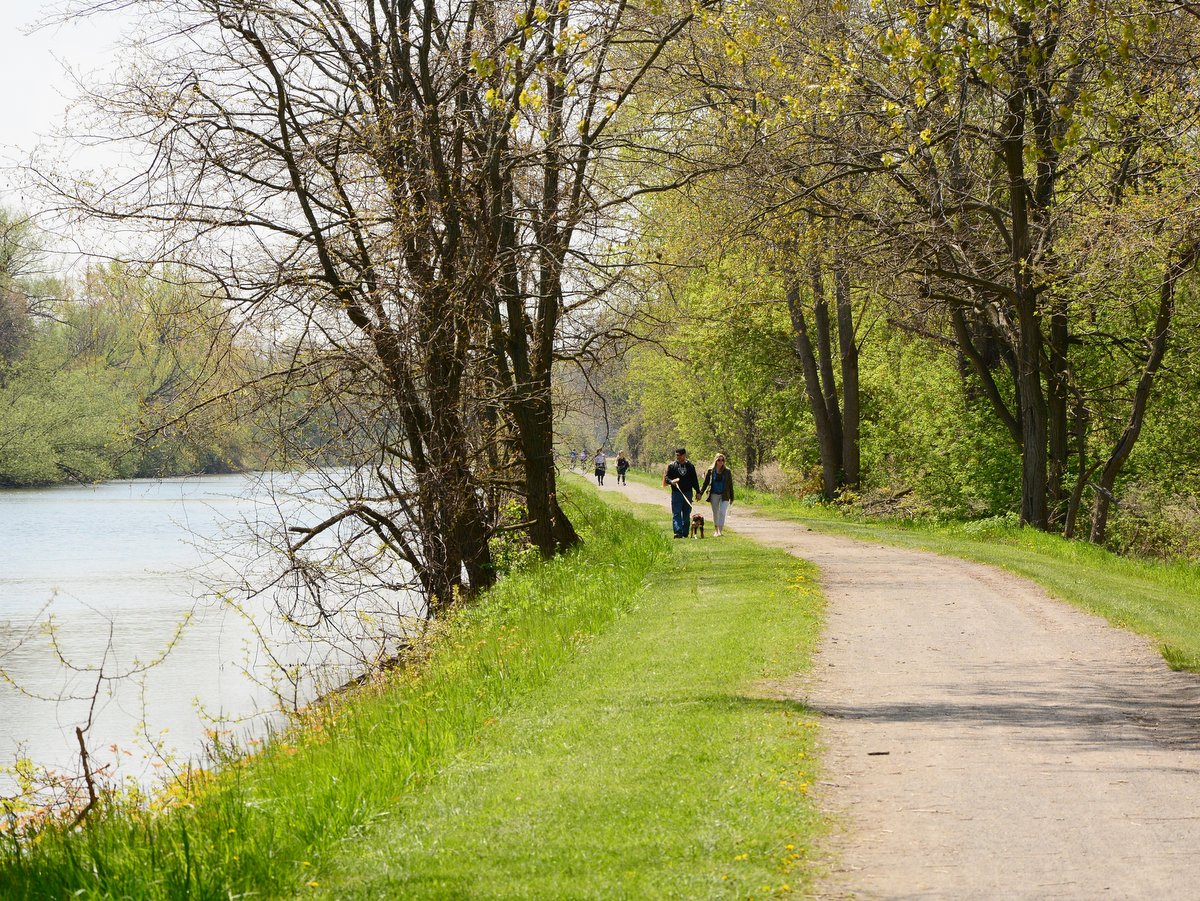
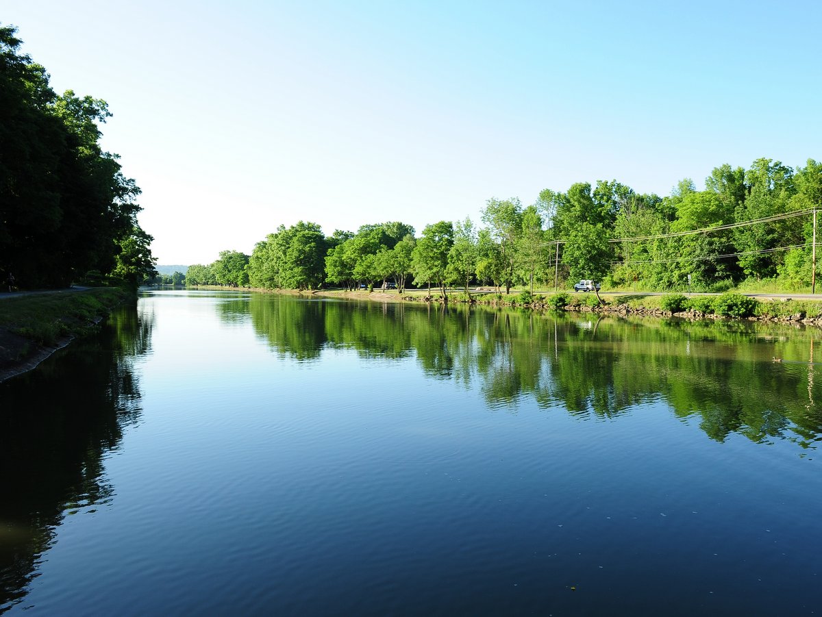
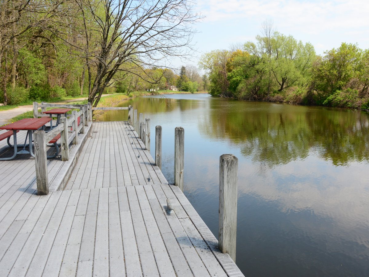
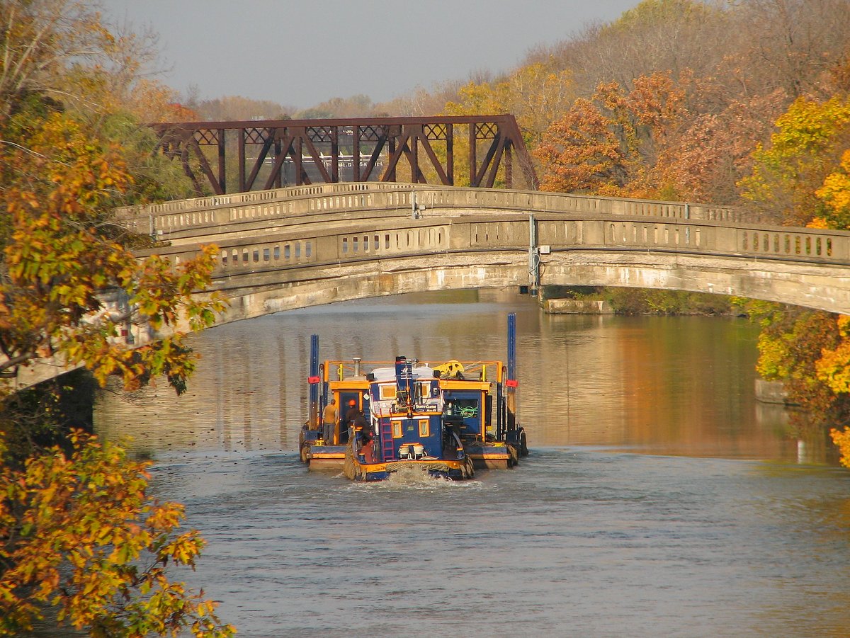
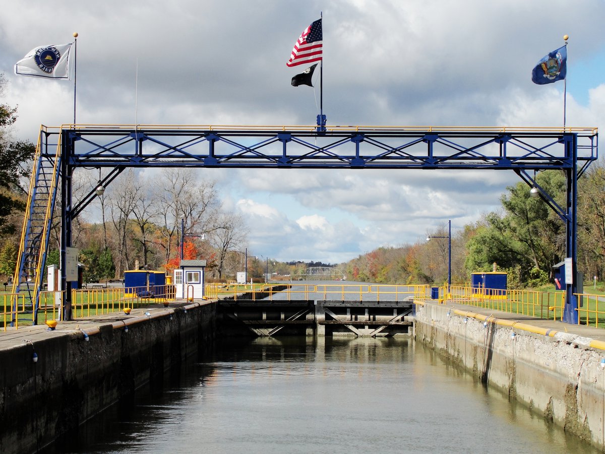
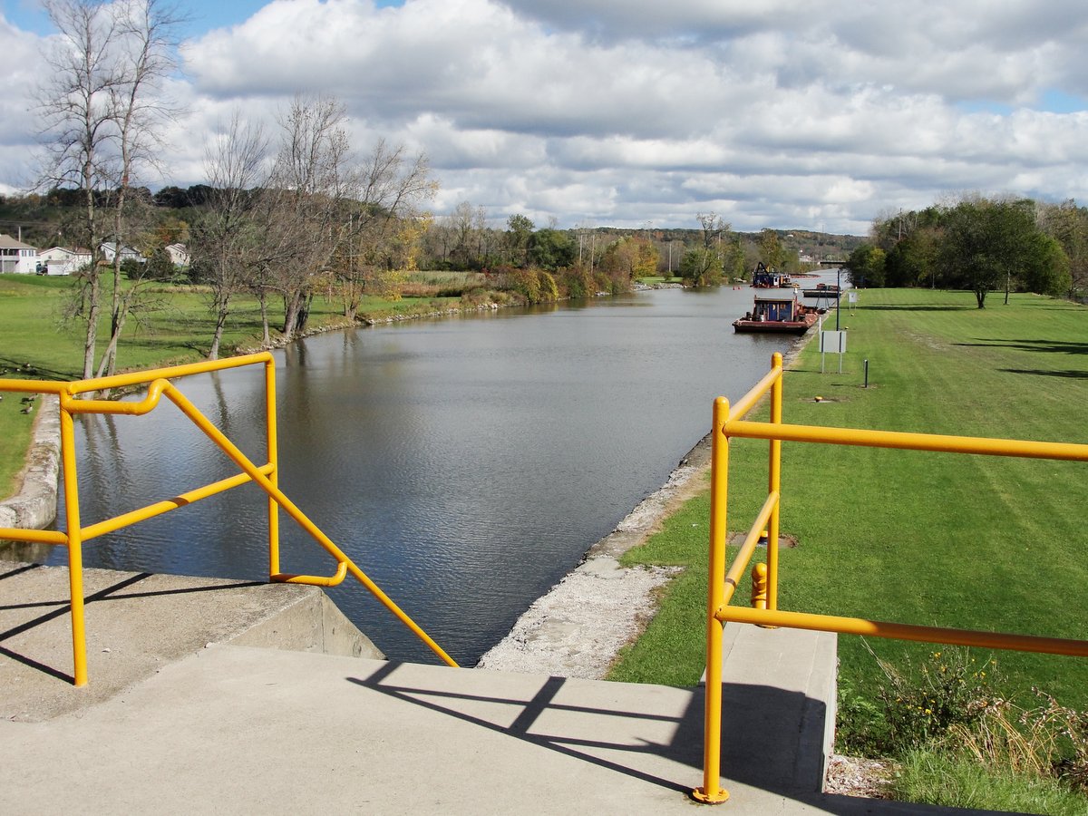
As quickly as the canal transformed America and New York, it was soon overshadowed by the railroad. The siren’s call of progress led to the abandonment of many sections of the canal where it was literally buried and seemingly forgotten. But along the Pittsford-Fairport section of the Empire State Trail, the canal’s rich history is embraced. Its infrastructure is widely used here, a bustling hub of outdoor activity. Today, a little over 200 years after this section of the canal opened, the old towpath is alive with people fishing, walking, running, and cycling. The placid waters are full of canoes, kayaks, row boats, motorboats, and even the occasional tugboat.
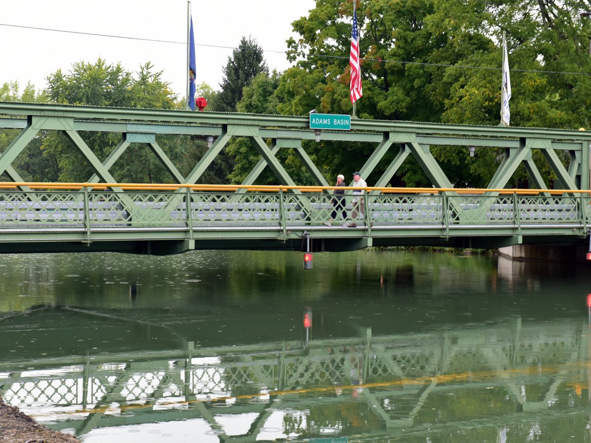
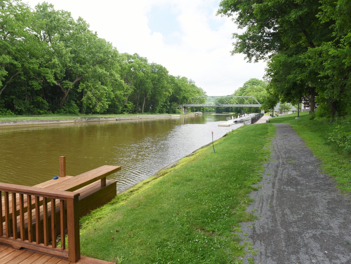
All along this oddly horseshoe-shaped section of the canal (more on that peculiarity below), the infrastructure aids those afoot, pedaling, or paddling. This focus is even more acutely felt when entering the major population centers, Pittsford and Fairport. At these points, the towpaths become promenades and the roads become thoroughfares for cyclists. Shops and restaurants are easily accessible and tailored to the needs of canal travelers. Benches and bicycle racks abound, creating convenient stops for families looking to fuel up for a day spent on the canal. It is also a place where you can rent canoes, kayaks, or bicycles should you want to try those experiences and either don’t have or want to transport the necessary equipment. These canal hubs have everything you need to stop or recreate along the canal, including sight-seeing canal boats. Here, the focus is on recreation, not transportation; on staying, not passing through; and on people, not cars. It perfectly illustrates a favorite quote regarding the history of the Erie Canal:
What do we do with glorious things that have outlived their original intent? When we’re wise, we preserve them. When we’re brilliant, we preserve and repurpose them. — Nick Yetto
But the story of this section and why it is an essential canal experience unfolds with one more historical tidbit, without which the canal’s very existence might have been doomed.
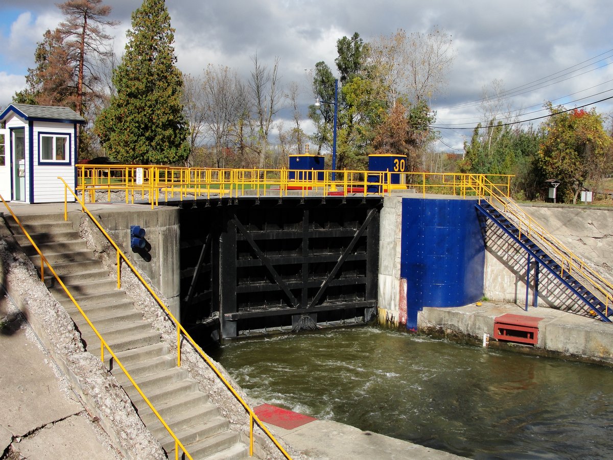
Generally speaking, the original Erie Canal follows a sort of squiggly but straight line. It wends and winds along the natural contours of the landscape, but rarely makes abrupt turns. But the section between Pittsford and Fairport has a pronounced south-easterly horseshoe-shaped bulge. Considering the canal was originally dug by hand, a bulge would seem an undue amount of effort. But in truth, this bulge was a pivotal feat of engineering and one that ultimately made the canal possible. During the initial planning of the Erie Canal, the entire proposal of a land-based route ran into a pesky snag; the hilly nature of the terrain just east of Rochester was deemed impossible. The topography was not as flat as elsewhere, and locks would be needed to traverse 150 feet up and down the Irondequoit Valley. Compounding the problem was that no adequate source of water was believed to be available to maintain that section, let alone one that could supply water to both sides of a lock system.
However, in the winter of 1809, surveyor James Geddes, one of the principal planners, found a route that weaved through the hilly terrain and could therefore be supplied with water from the Genesee River. The route could follow along natural ridges most of the way, but there remained one obstacle—how to traverse the valley surrounding Irondequoit Creek. These ridges were low enough to be supplied by the Genesee, but locks simply could not be used since the water supply was only on one side. Aqueducts were proposed, but in the end, the only practical way was to fill in the gaps. In 1822, work on the “Great Embankment” was begun and completed that year, despite having to haul the fill from miles away. In the end, a nearly mile-long 70-foot-high route bridged the natural ridges creating a level route. It required routing Irondequoit Creek at its base through a 245-foot-long and 26-foot-wide culvert.
The Great Embankment was deemed one of the canal’s most astonishing engineering achievements. Without this solution, the canal would have been routed into Lake Ontario, changing much of what is Upstate New York today. In short, this odd horseshoe was a keystone to what made the whole canal system possible.