Share This Location


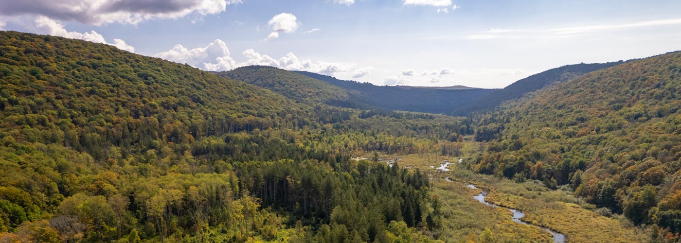
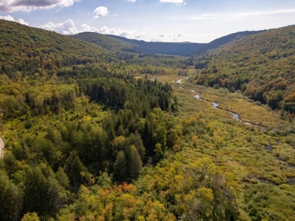
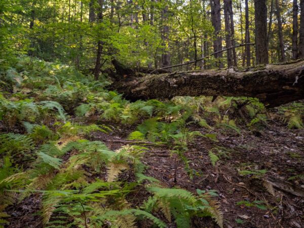
While some state forests close to population centers are often a hub of activity for outdoor recreation, Taylor Valley State Forest’s 4,755 acres feel like a peaceful and remote wilderness. Located in the steep rolling terrain of eastern Cortland County among a large cluster of state lands, Taylor Valley offers solitude for hikers, campers, birdwatchers, and more.
Nine miles of the Finger Lakes Trail cross the forest, and visitors can opt for varied loop hikes by picking up sections of forest/snowmobile roads. Ambitious hikers can enjoy deep woodlands while climbing to the top of Mt. Roderick for views of the Taylor Valley, then on to the top of Mt. Tego, both of which have substantial elevation gains.
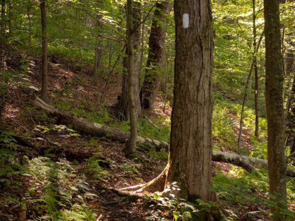

Thru-hikers on the Finger Lakes Trail can continue east onto Cuyler Hill State Forest or west onto Baker Schoolhouse State Forest, although both options require crossing private lands and road walks. This section of the Finger Lakes Trail was built by the Adirondack Mountain Club–Onondaga Chapter and overlaps with the North County Trail.
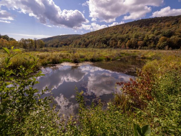
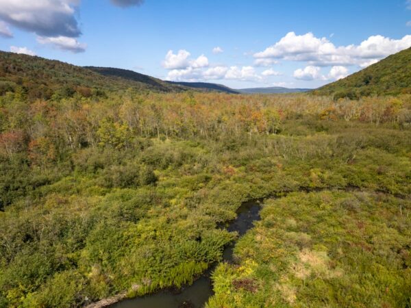
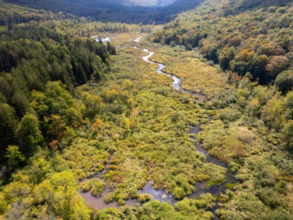
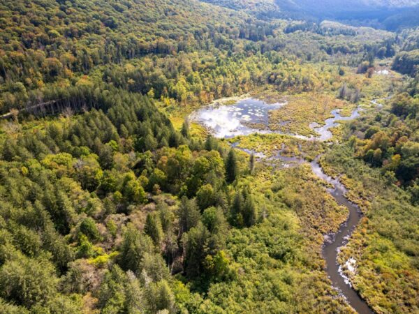
One of the most scenic features of this forest is its large glacially carved valley that contains a large and diverse wetland. This area filters Cheningo Creek as it winds its way through the forest and onto the East Branch of the Tioughnioga River.
The Cheningo Day Use and Camping Area, located on Taylor Valley Road, has a pavilion with picnic tables and several primitive camping sites directly across the road. Camping for more than three nights or in groups of ten or more requires a permit from the New York State Department of Environmental Conservation. Campfires are permitted only in designated areas.