


The Best Rail Trails in the Finger Lakes Region!
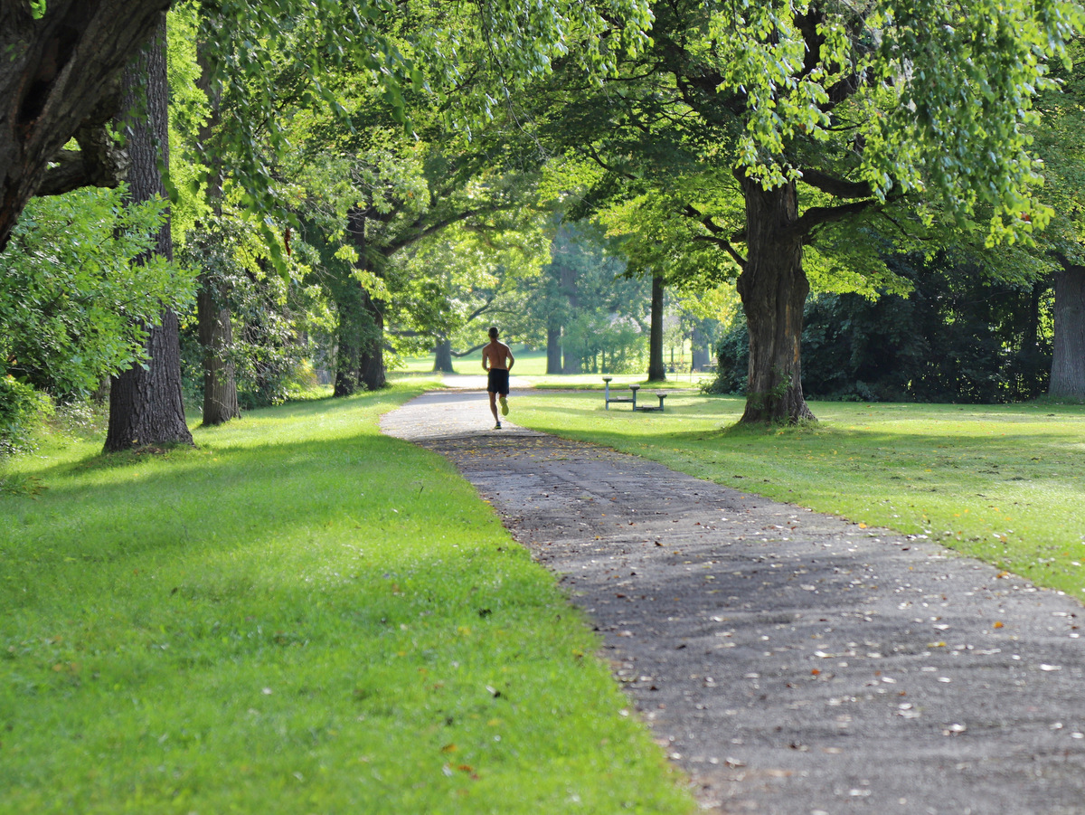
Spring is the perfect time to explore the Finger Lakes region’s rail trails. Repurposed from abandoned rail lines, these mostly flat and broad pathways provide hikers, runners, and cyclists ample opportunities for getting outside and avoiding muddier trails. Traversing both urban and rural landscapes, multi-use rail trails often connect to other protected lands such as state parks and nature preserves. Also in this list are sections of the Erie Canalway Trail/Empire State Trail that follow the towpaths of both active and historic sections of the New York State Canal System. Explore some of the best trails in the region!
Black Diamond Trail
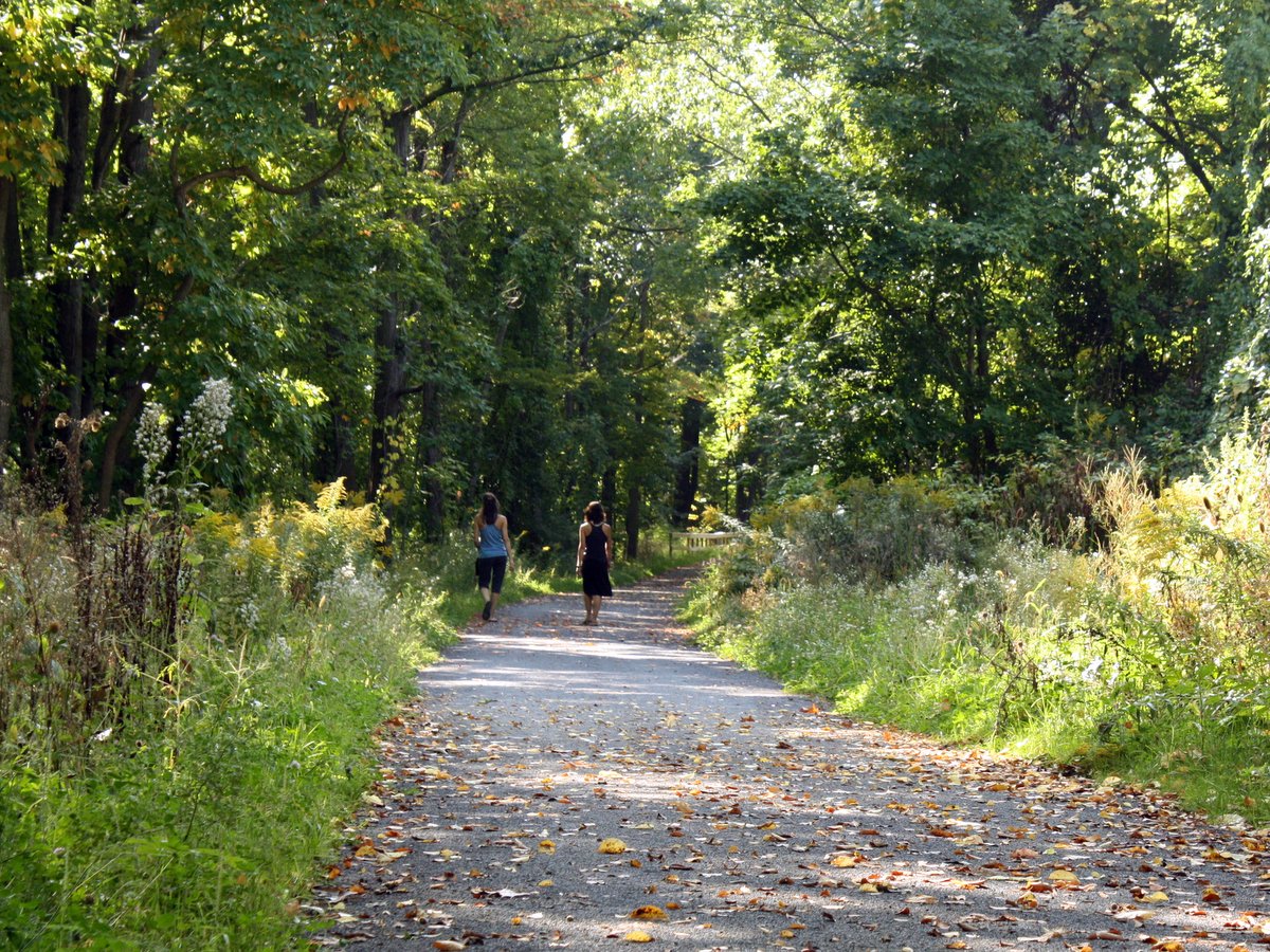
Though evocative of a hazardous downhill ski run, the 8.4-mile Black Diamond Trail is actually a broad, mostly level, multiuse trail. Its stone dust surface makes the trail a pleasure to ride on or to stroll along in what is essentially a picturesque tree-lined alleyway. The grade slopes downward most of the way from Taughannock Falls State Park in Trumansburg to Cass Park in Ithaca.
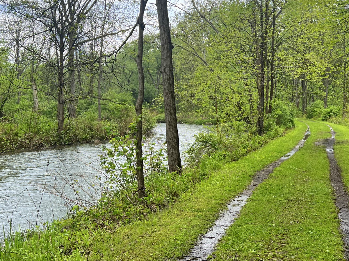
Catharine Valley Trail
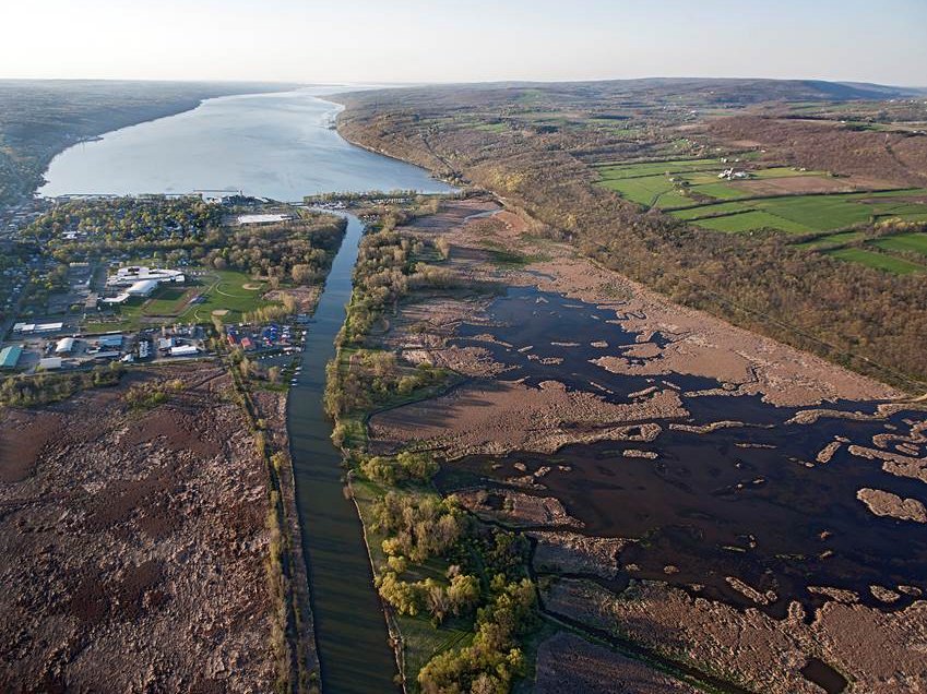
The 14-mile Catharine Valley Trail follows the old Chemung Barge Canal tow path and sections of the abandoned Northern Central Rail lines. Contiguous from downtown Watkins Glen to Mark Twain State Park, it’s a great natural corridor that utilizes compact stone dust paths that are an absolute pleasure to walk or bike.
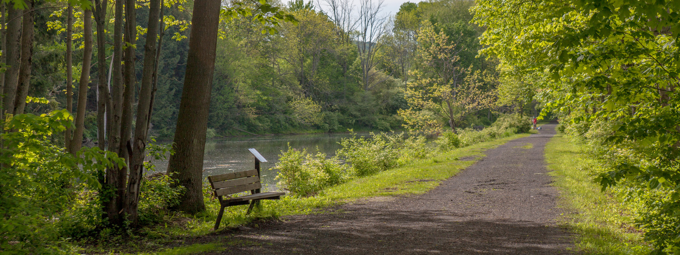
Cayuga-Seneca Canal Trail
The Cayuga-Seneca Canal Trail follows an old railroad bed beside a canal that links the two largest Finger Lakes while connecting picturesque villages along the way. Presently, 6.7 of the eventual 19 miles are finished and open to the public. Current access to the eastern end of the trail is in Waterloo while the western end can be accessed at Seneca Lake State Park or at the Bishop Nature Preserve, owned by the Finger Lakes Land Trust.
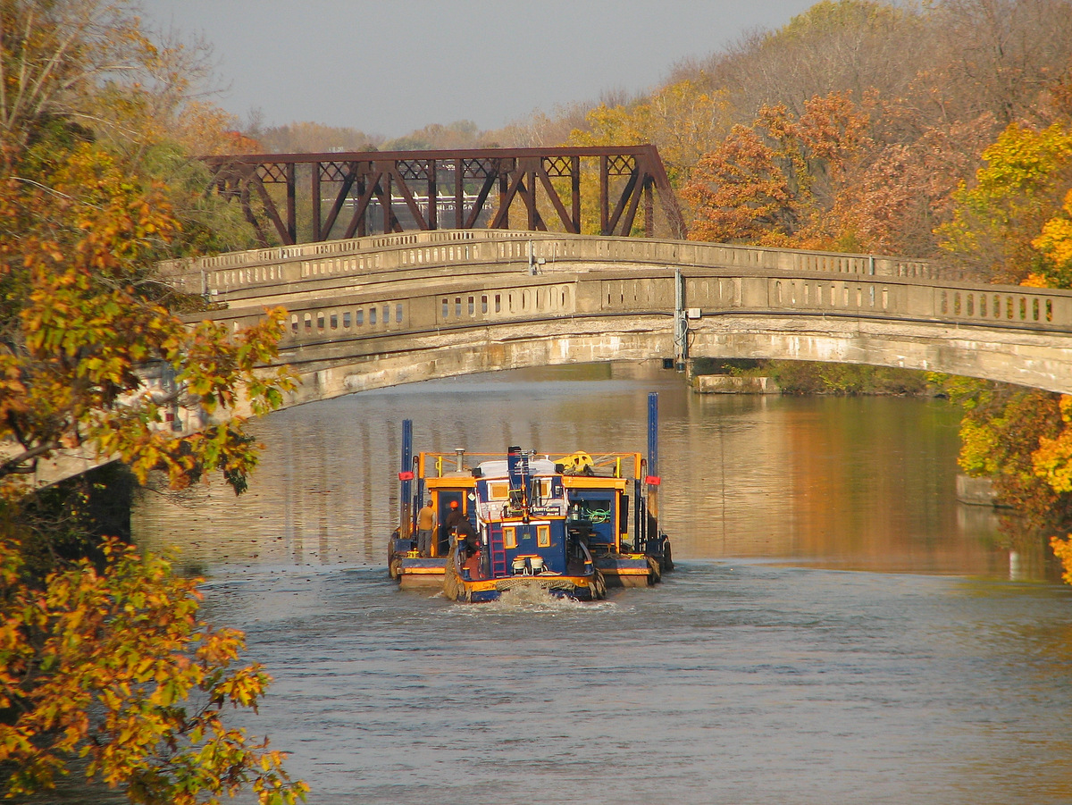
Erie Canalway Trail—Fairport to Pittsford
Along the Pittsford-Fairport section of the Empire State Trail, the Erie Canal’s rich history is embraced. Its infrastructure is widely used here, a bustling hub of outdoor activity. Today, a little over 200 years after this section of the canal opened, the old towpath is alive with people fishing, walking, running, and cycling. The placid waters are full of canoes, kayaks, row boats, motorboats, and even the occasional tugboat.
Genesee Valley Greenway State Park
Connecting Rochester and Cuba (NY), the Genesee Valley Greenway is a wonderful example of repurposed infrastructure, towpaths and railroad beds, into a new vibrant multiuse trail. Ninety miles of trail means it is unlikely you will make the trip in one day (it is certainly possible for dedicated cyclists), but the long trek traveler will be happy to know that accommodations are accessible along the route.
Dryden Rail Trail
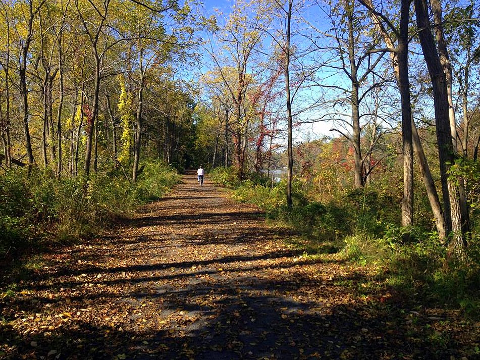
Once a branch of the Lehigh Valley Railroad system, the Dryden Rail Trail is an excellent example of repurposing abandoned rail lines into multi-use trails. Passing through a variety of urban and rural settings, hikers, cyclists, runners, and equestrians all share the broad and flat trail in summer, while snowshoers and cross-country skiers take over in the winter.
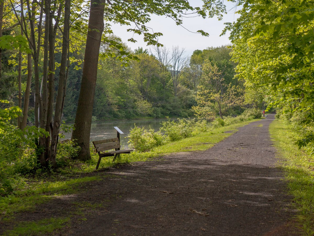
Keuka Outlet Trail
A winding stream accompanies hikers, runners, bikers and even equestrians along the 6.8-mile Keuka Outlet Trail. The trail follows a generally downhill course from the outlet of Keuka Lake in Penn Yan to the inlet along Seneca Lake in Dresden. The trail varies from paved sections in Penn Yann to broad stone dust paths to mixed gravel to worn single track.
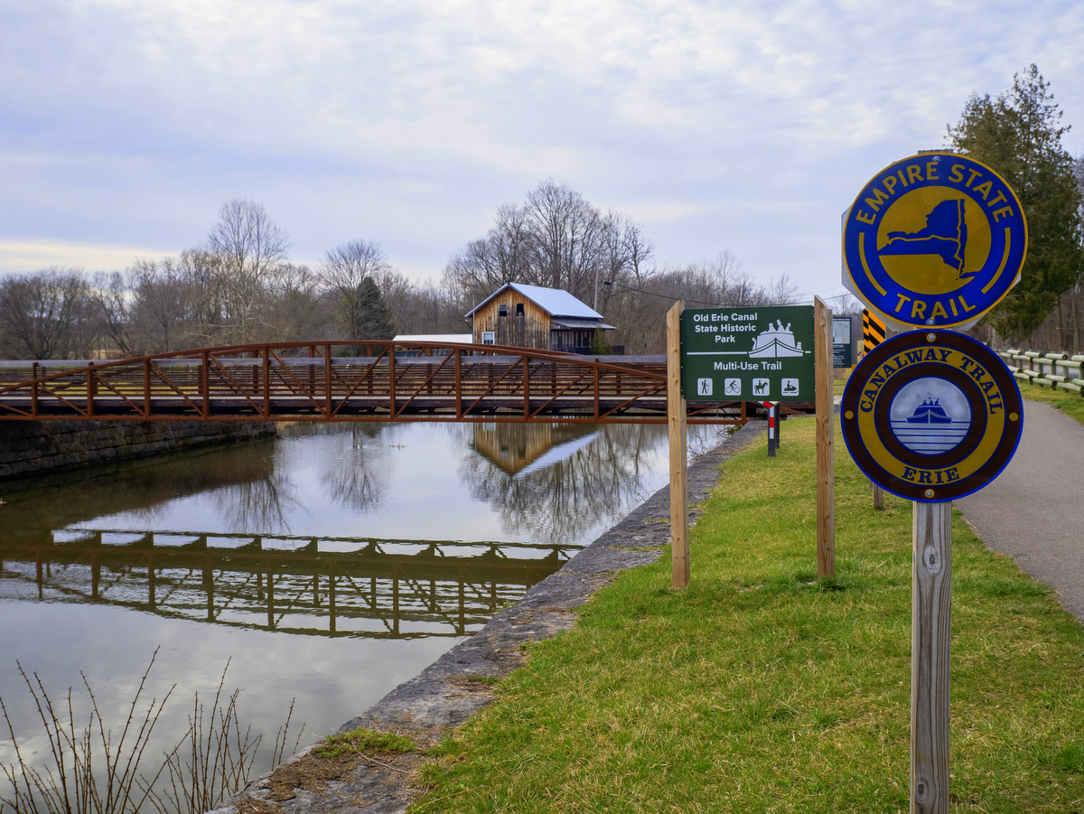
Old Erie Canal State Historic Park
At the Old Erie Canal State Historic Park, the Erie Canal is preserved in its earlier form and provides a glimpse of what those earlier, more remote experiences might have been like. From Dewitt to Chittenango, 11.5 miles within the park encompass a small percentage of the 363-mile-long Empire State Trail. It is a thin corridor that follows the enlarged canal route from its western terminus at Butternut Creek in Dewitt to the Chittenango Landing Canal Boat Museum.
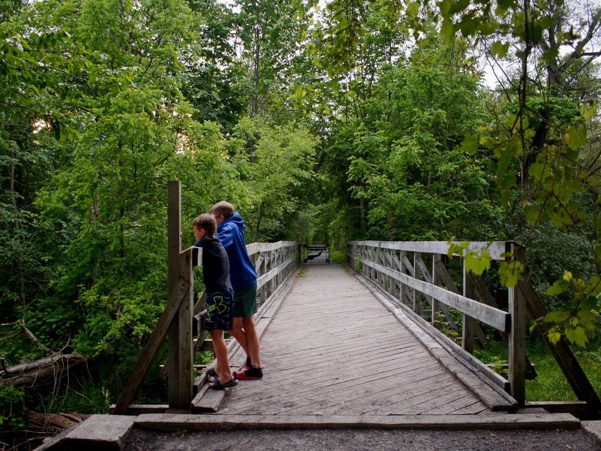
Ontario Pathways
Connecting various towns and villages in eastern Ontario County, Ontario Pathways is a flat, 25-mile, multiuse trail route open year-round for hiking, biking, running, horseback riding, and cross-country skiing. The trail is comprised of two “legs,” each approximately 11.5 miles long: the Canandaigua leg, stretching from Canandaigua to Stanley, and the Phelps leg, which extends from Stanley through Flint, Seneca Castle, Orleans, and ends in Phelps.
See the map!
Learn More
Conservation
Recreation
Share This