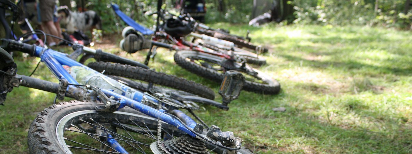
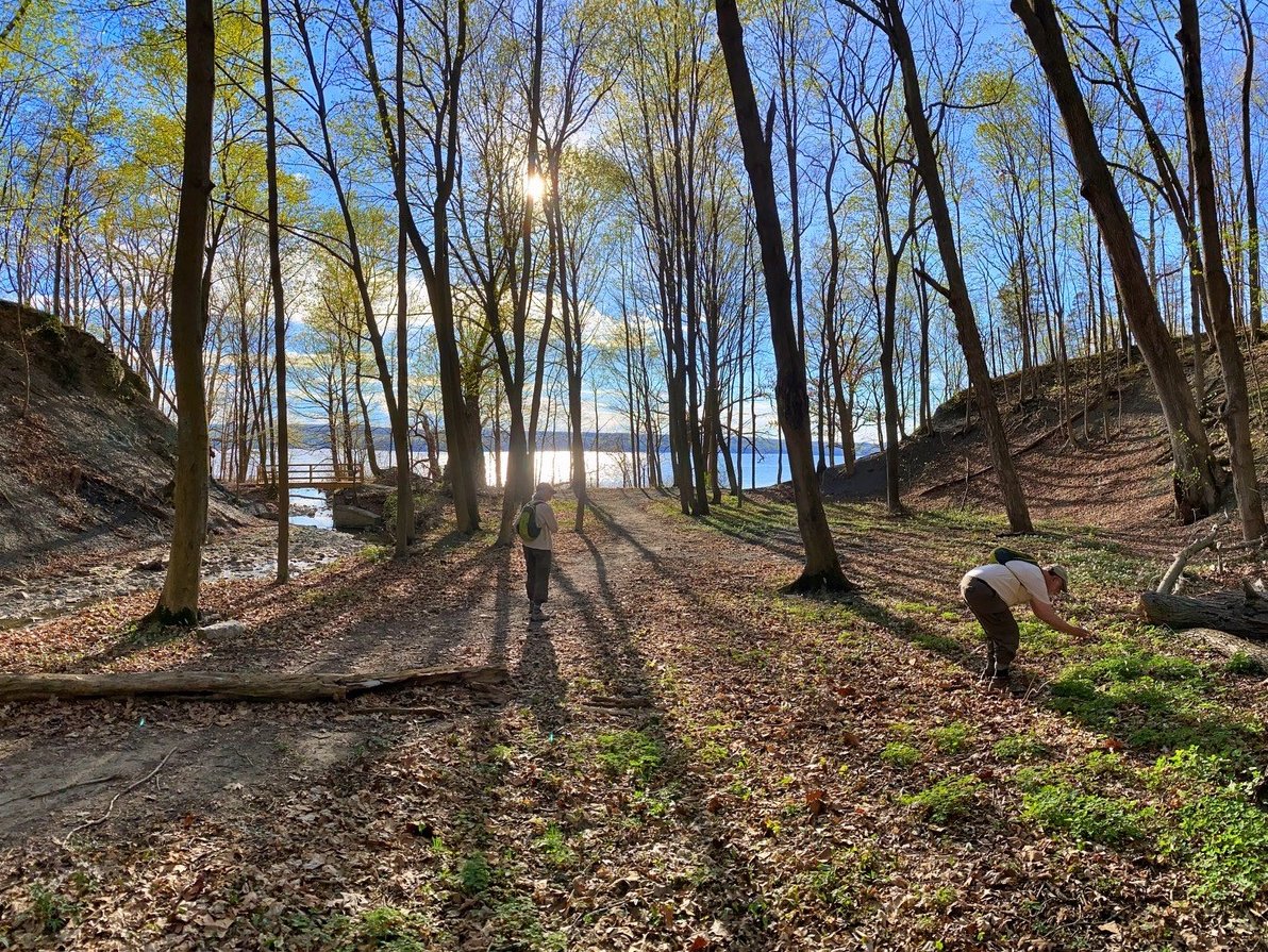
Whether you are a seasoned mountain biker or tackling the trails on two wheels for the first time, there is a spot in the Finger Lakes for you. Area parks offer everything from technical single-track to wide stone-dust rail trails if you know where to look. For your next ride, check out this list of favorite spots in the region, chosen by the staff at the Finger Lakes Land Trust.
And be sure to connect with local mountain bike groups like Cycle-CNY and CNY Dirt who volunteer to maintain area trails and host events.
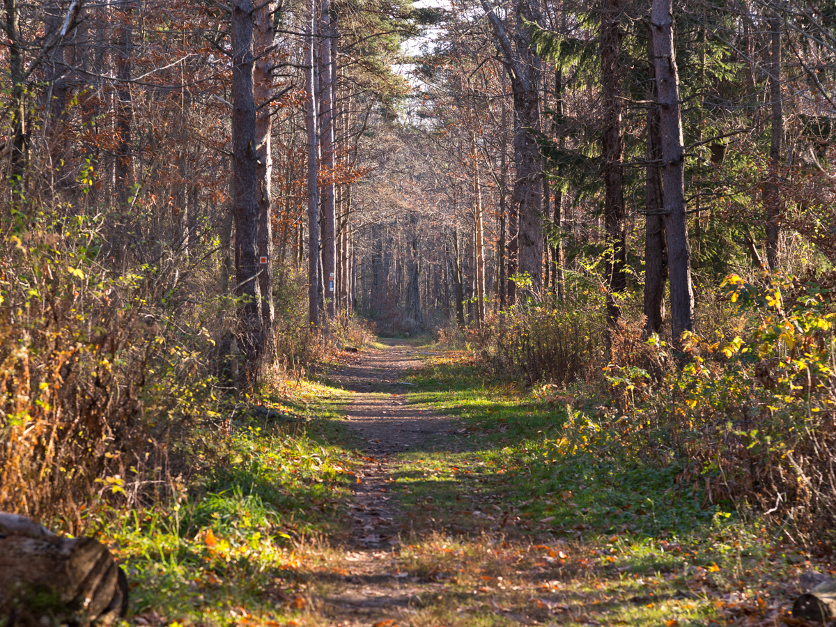
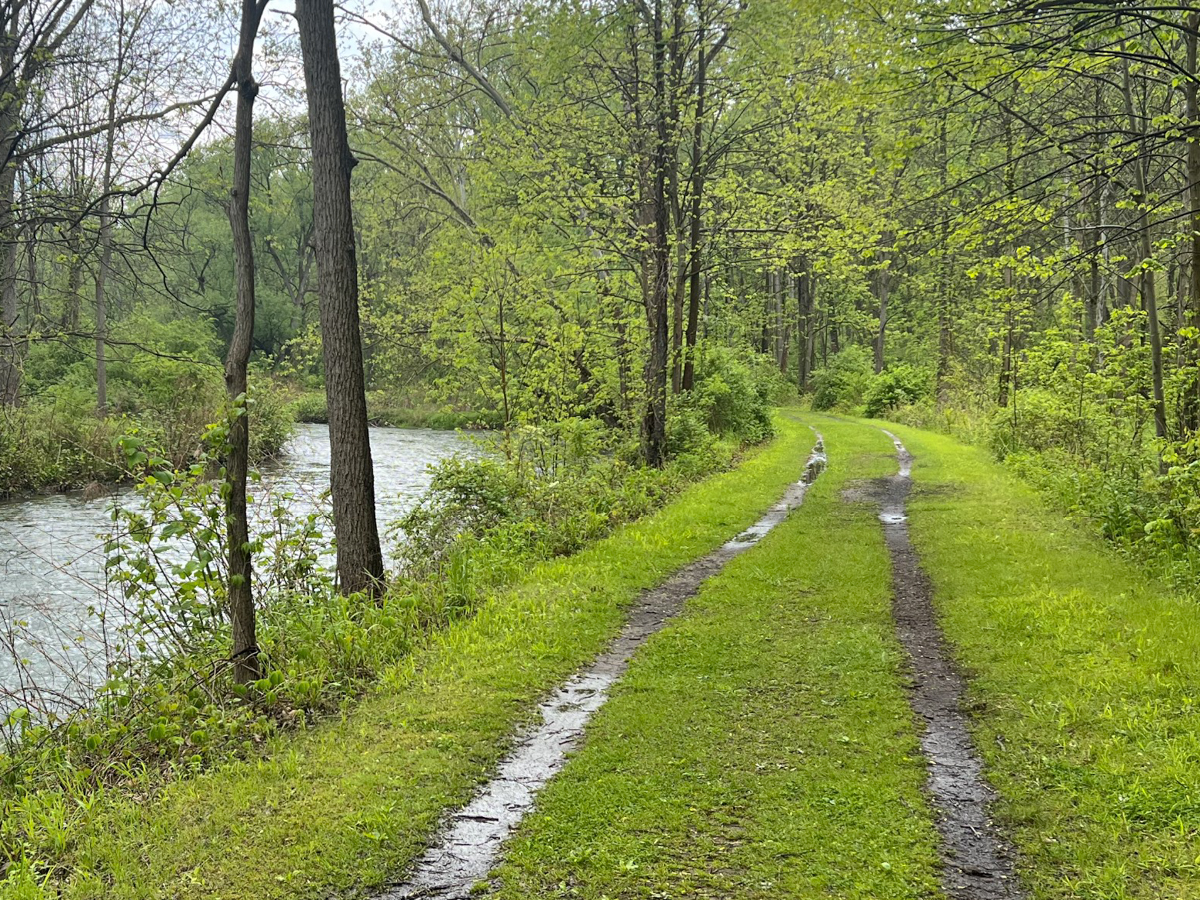
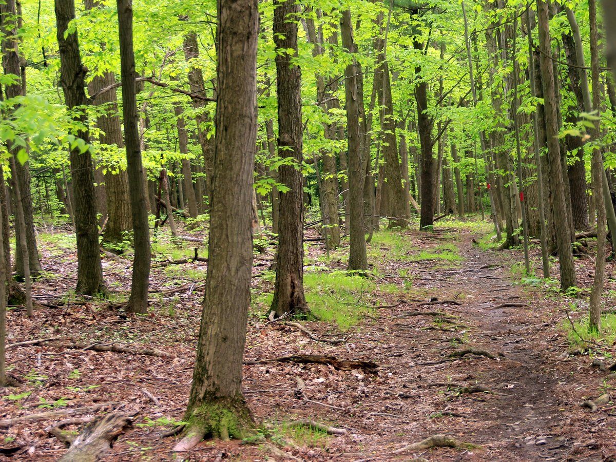
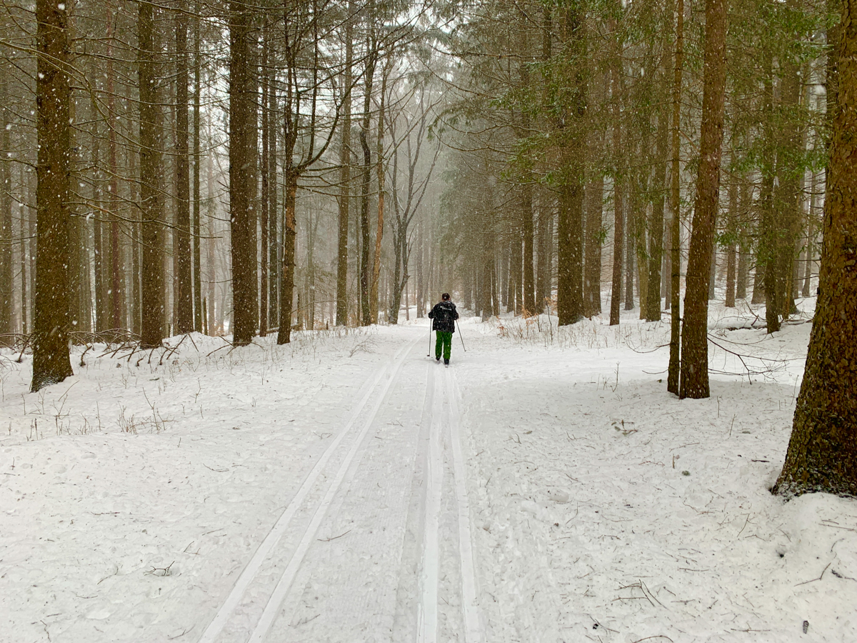
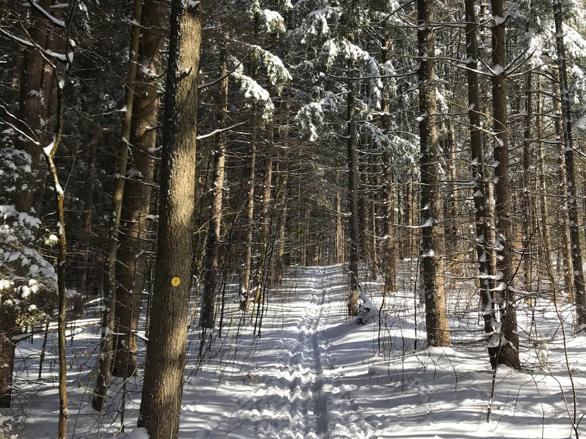
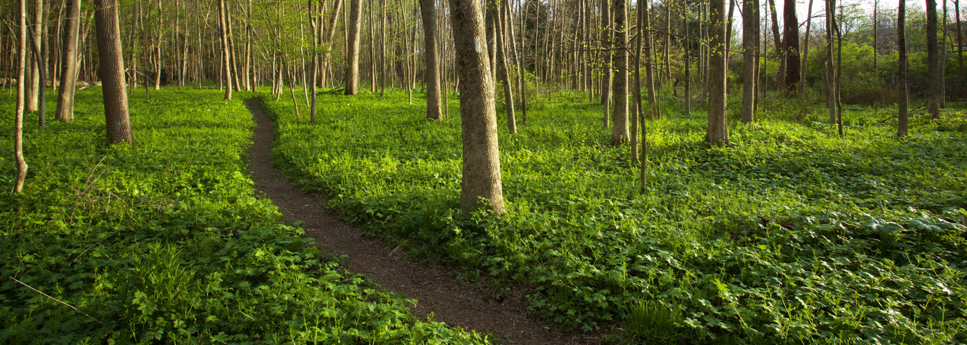
Bikers here will find that the majority of trails follow old forest roads, but single track paths also round-out the network of interconnected and parallel loops. Trips of varying length and difficulty can be easily accomplished after a quick study of the trail map before heading out. What makes it enjoyable for bike ride—a deep woodland feel with broad stable trails that include lots of lengthy lines-of-sight—also makes for an ideal cross-country skiing destination in the winter.
Diverse habitats and skillfully crafted trails converge at the 550-acre Hickory Ridge Nature Preserve in Naples, owned and managed by The Nature Conservancy in New York. 6.5 miles of shared-use trails for mountain bikers, hikers, and runners are clearly marked for beginners, experts, and everyone in between. A unique nature preserve in the Finger Lakes region, Hickory Ridge also features 2.8 miles of beginner trails that are open to adaptive mountain bike use.
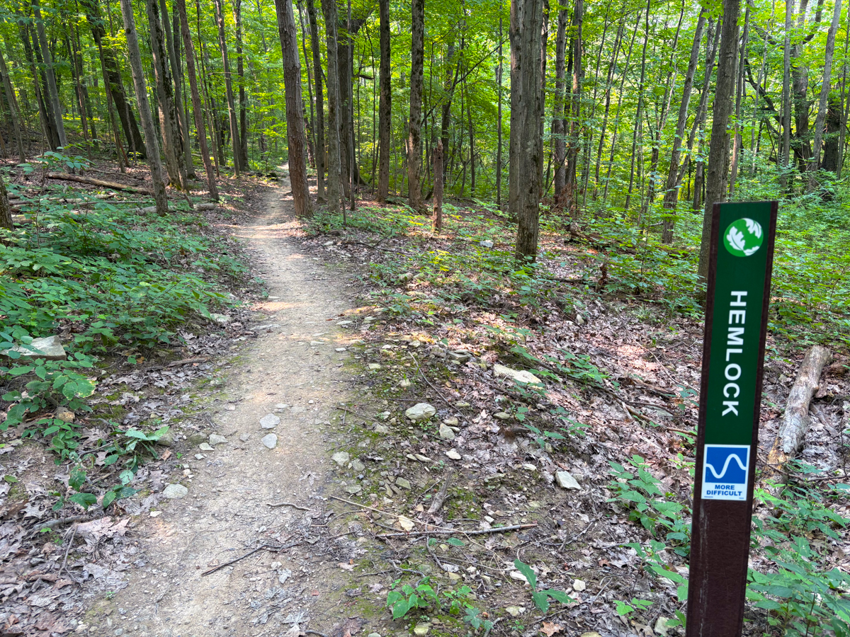
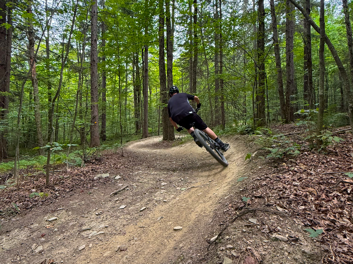
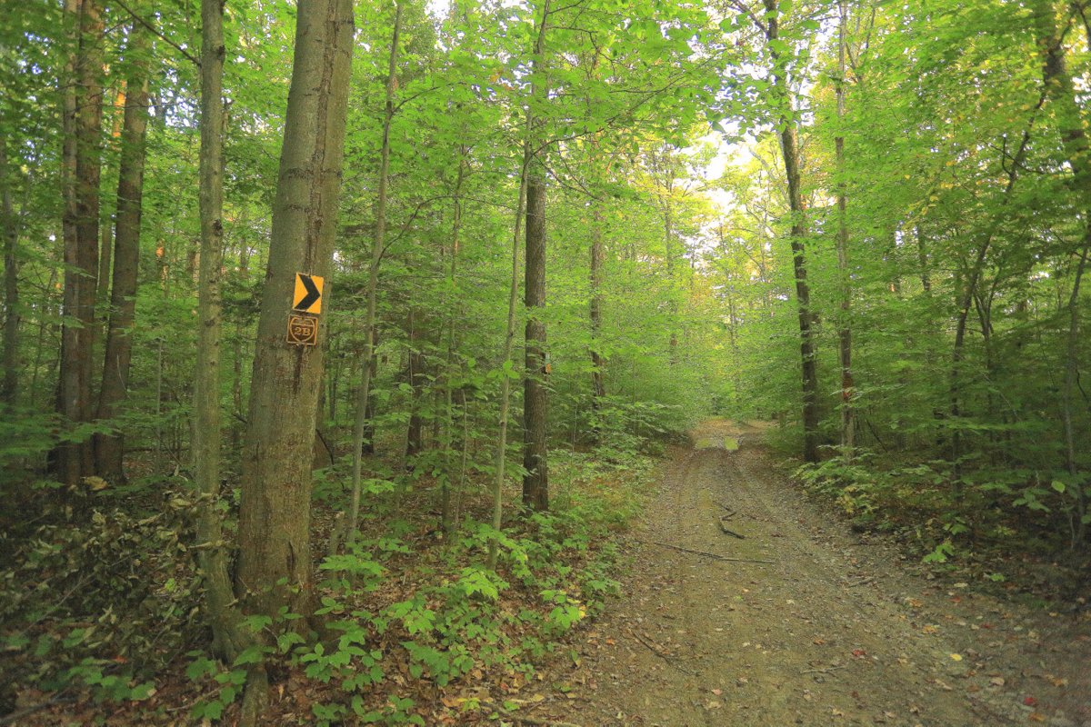
This state forest is a Finger Lakes favorite for mountain bikers—with over 5,266 acres and roughly fifteen miles of trails geared specifically for cyclists. The miles of dedicated mountain bike trails are classified as technical single-track, vary in difficulty, and can be combined to make extensive trips. Generally speaking, the blue trails are considered more difficult than the red and yellow trails but their proximity means it’s easy to mix and match.
The extensive network of well-marked trails—over twenty miles of hiking trails and many additional miles of mountain biking trails—intersects numerous wooded streams and rolling terrain through a variety of deciduous and coniferous forests. The two types of trails are separate but crisscross each other frequently, making trail intersections more a common occurrence than a landmark. There are so many route options within the two interwoven networks that long, difficult treks as well as short interludes can be enjoyed by all levels of cyclists. Cycling surfaces vary from country roads to forest riding trails and include three levels of difficulty, providing a wide variety of options and experiences.
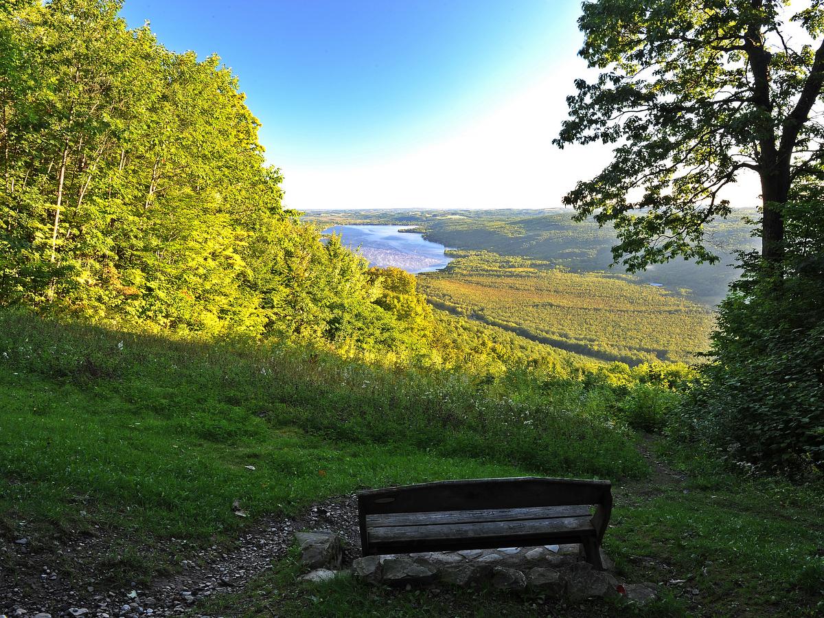
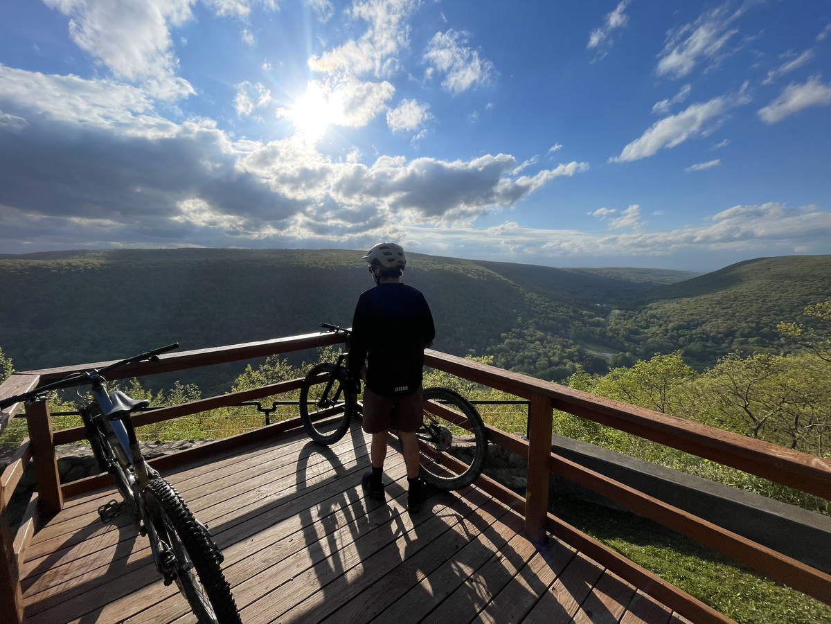
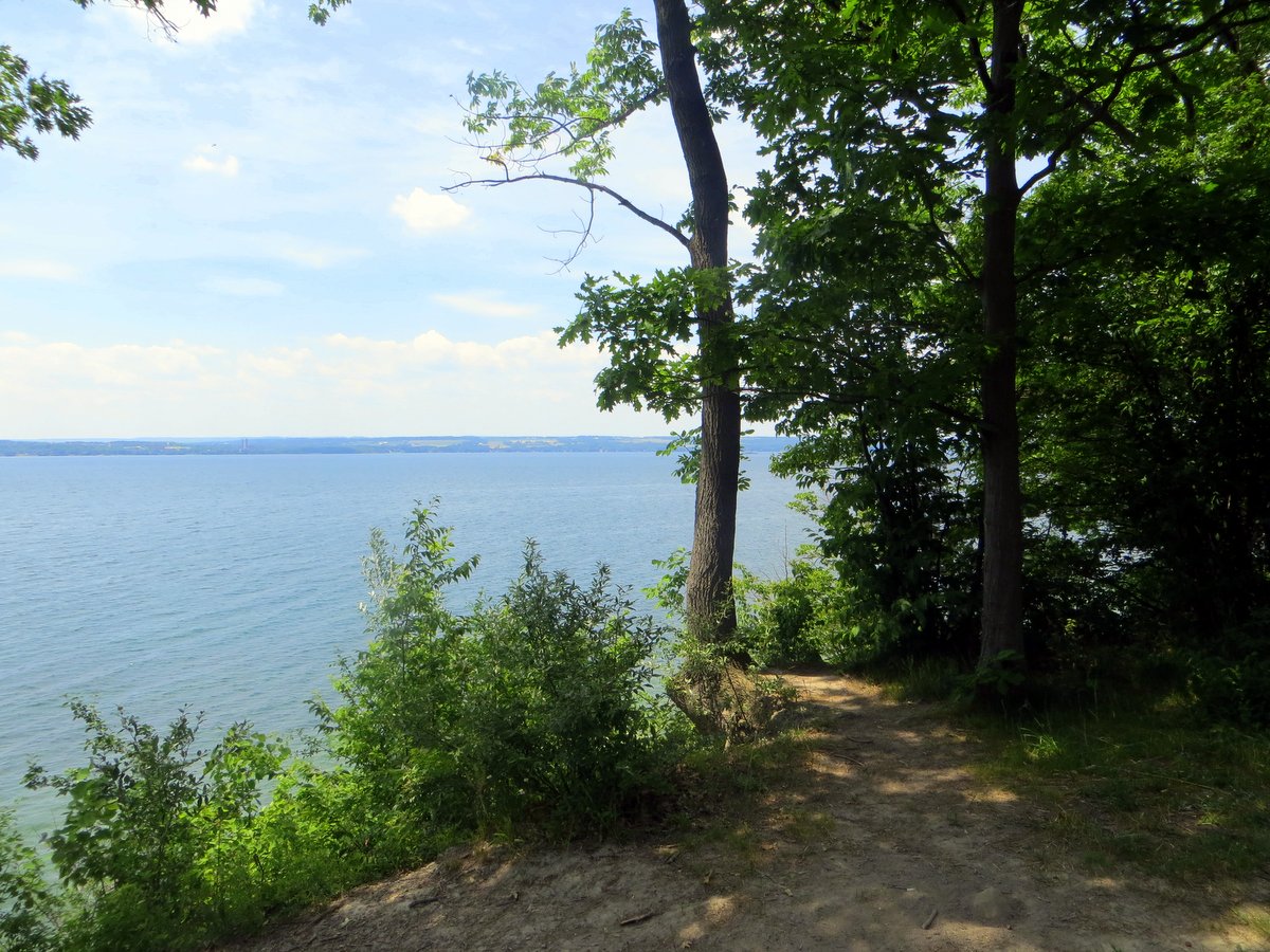
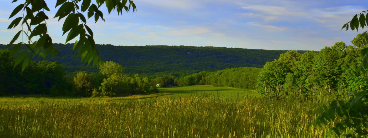
For a great ride with our without your kids, try the multiuse trail system at Gannett Hill. Trails are laid out in different loops that occasionally connect. Each trail is well marked, has its own color, and also provides an indication of trail difficulty so you can put together a route that suites both your skill and energy level! When you are done with your ride, head over to the overlook for an amazing view of the Bristol Valley sprawling across the western horizon.
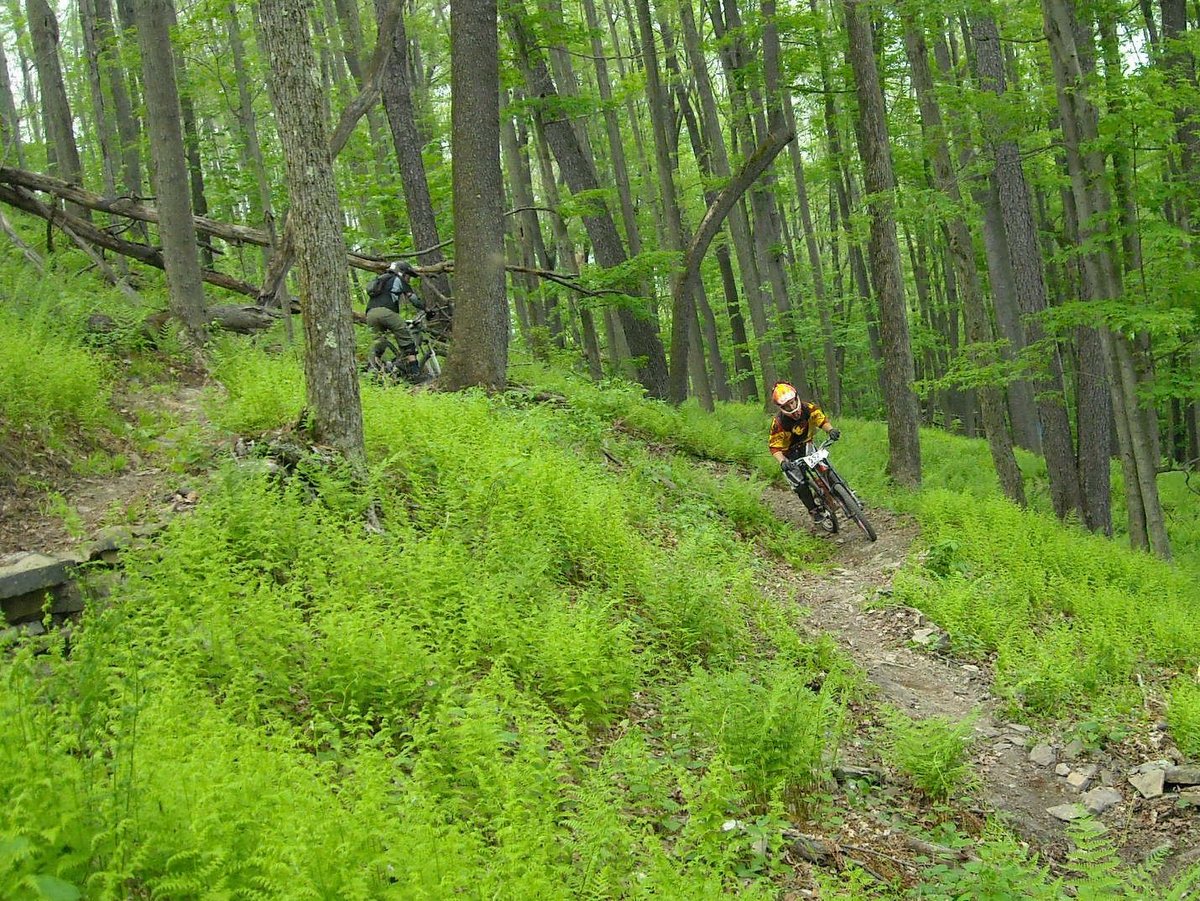
The trails here have been gaining popularity with the Shindagin mountain biking crowd due to its proximity to Ithaca and Syracuse. To help improve the experience, volunteers have been working hard to add miles of trails in recent years. Riders find this state forest is in a prime location and offers fun and scenic riding with good camping spots to boot!
Best Trail Running Spots in the Finger Lakes Region
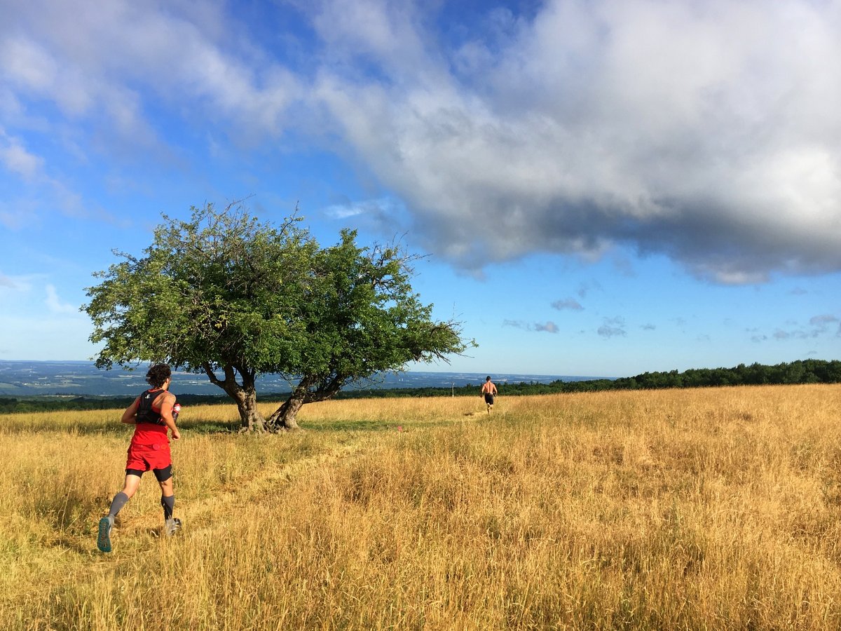
Are you ready to take your running from the roads to the trails? Or perhaps you are already a trail runner looking for a new challenge? Fortunately, the Finger Lakes region offers plenty of options for trail runners of all kinds. Check out our list of favorite spots, from easy-sloping double-track trails to technical single-track routes with beautiful views.
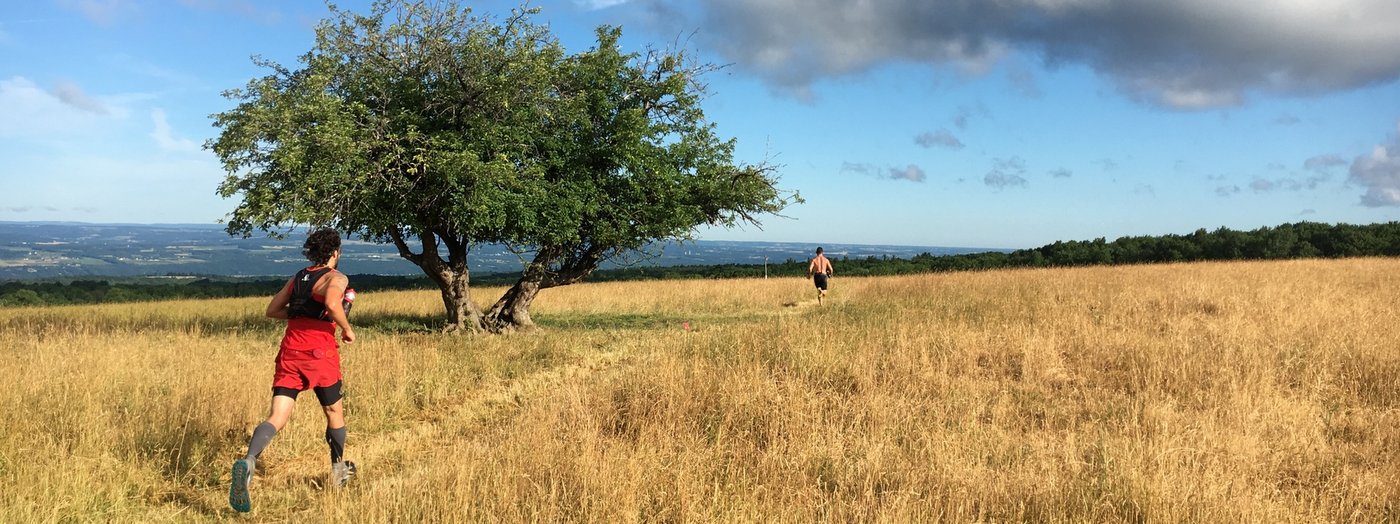
Hammond Hill is a popular destination for all sorts of adventuring, especially trail running. Runners love the versatility that Hammond Hill offers. With over 20 miles of trails to explore, this forest is the perfect location for runners looking for a quick jog after work or a long run on the weekend. Technicality varies here, offering options for single-track trails that require some maneuvering around rocks and roots and wide seasonal roads that let you take your eyes off the ground for a moment to enjoy the view.
The Catharine Valley Trail is the perfect place for the seasoned road runner to get a feel for running on trails. As a natural corridor that follows the old Chemung Barge Canal towpath, the trail runs from Watkins Glen to the hamlet of Pine Valley at a very modest grade. You can run long or short distances, but keep in mind that the Catharine Valley Trail is an out-and-back route. The low-grade and wide, crushed stone path also makes the trail a great option for runners with small children in strollers.
Nestled between Corning and Big Flats, the Finger Lakes Land Trust’s Steege Hill Nature Preserve is a perfect destination for Southern Tier runners. With a trail network covering more than 6 miles and offering several looped route options, Steege Hill is ideal for runners of all levels. Do you yearn to see some wildlife while exploring the trails? Steege Hill is home to many different species of animals, so keep your eyes out!
Located at the south end of Canandaigua Lake, High Tor WMA really has it all. With over 20 miles of trails to explore, High Tor WMA features ponds, waterfalls, rivers, gorges, forests, and open fields, so you will never get bored on a long run. If you need to cool off, there are plenty of creek walk options to enjoy before continuing on. If you love the Finger Lakes Trail (FLT), then you’ll also love High Tor WMA, as it features a part of the Bristol Hills Trail, a branch of the FLT.
The Keuka Outlet Trail, often referred to as simply the Outlet Trail, follows a generally downhill course from Keuka Lake in Penn Yan to the inlet along Seneca Lake in Dresden. As a rail trail, this is another great option for beginners or even seasoned trail runners looking for a place to shake out their legs while avoiding the roads. From point to point, the Outlet Trail extends nearly 7 miles, offering runners excellent short and long-run options as an out-and-back route. Please be aware that equestrians frequent the Outlet Trail, so make sure your trail etiquette knowledge is up to speed!
If you’re looking for a great location for technical elevation training, then Danby State Forest is the place for you. The popular Abbott Loop features 8 miles of trails that will get your heart rate up as you climb to the stunning lookout at Thatcher’s Pinnacles and your adrenaline pumping as you maneuver your way back down. With multiple spur trails, loops, and a seasonal road, every runner can find their right distance. Have trekking poles and want the chance to use them? Danby State Forest is an optimal place to try them out.
Runners of all abilities can find the perfect trail at James Kennedy State Forest. This 4,422-acre forest is a packed collection of named trails, including short, one-mile family-friendly loops; short half-day loops; and, figure-eight patterns. The white emblazoned main Finger Lakes Trail (FLT) runs along an east-west axis with the loop trails breaking off from it to both the north and south.
Home to over thirty miles of trails, the Finger Lakes National Forest offers a varied landscape of wooded glens and open pastures and includes a portion of the Finger Lakes Trail. The pastures offer excellent vistas that are especially beautiful in the fall when the hills across Seneca Lake are emblazoned with autumn colors.
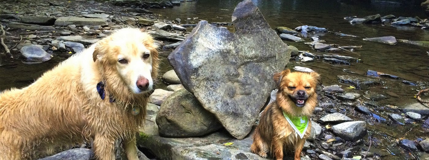
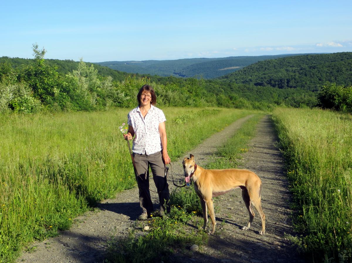
Dogs make great hiking companions and can bring tremendous joy to your outdoor adventures, but not all trails are dog-friendly. Fortunately, the Finger Lakes region offers plenty of places to get outside with your canine friends. Here are a few of our favorites, from locations with firm leash policies to places where your furry friends have a bit more freedom. Whether on or off-leash, please be sure your dog is under your control at all times.
The Finger Lakes Land Trust’s Wesley Hill Preserve has a 5.6-mile trail system which winds past several gullies, diverse stands of mature forest, and a pond. Perfect for exploring, the preserve is home to the immense Briggs Gully and features sweeping views of the hills surrounding Honeoye Lake’s southern end. Dogs must be under their owner’s control at all times.
Morgan Hill is a popular spot for Syracuse and Cortland-area hikers looking for some solitude. Dogs are welcome off-leash to explore over 22 miles of marked foot trails and public forest access roads. The trails at Morgan Hill cross seasonal streams, pass through a mixture of deciduous and conifer forests, and extend to the North Country Trail—a 4,600-mile trail that traverses seven states and connects North Dakota to New York.
Five miles west of Corning, the Erwin Wildlife Management Area features over 2,490 acres and more than ten miles of trails. Dogs are free to roam deep gullies with hemlock-shaded streams, deciduous forests, and several small ponds. Note that New York State’s wildlife management areas require dogs to be on a leash and under their owner’s control.
Full of military history from World War II and the Korean War, what really shines at Sampson State Park for outdoor enthusiasts is the three and half mile long Lake Trail, much of which follows the shore of Seneca Lake. Here, the access road between the village of Willard and the state park has been designated as a trail and follows within feet of the extraordinarily deep lake. Dogs must be kept on a leash at all times.
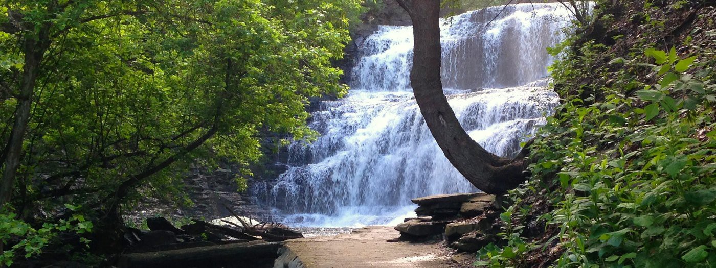
The Keuka Lake Outlet Trail follows a generally downhill course from the outlet of Keuka Lake in Penn Yan to the inlet along Seneca Lake in Dresden. Along sections of the trail are the remains of old mill buildings and locks, lush woodlands, and two impressive waterfalls. A winding stream accompanies hikers, runners, bikers and even equestrians along the 6.8-mile route. Dogs should be kept on a leash and under their owner’s control at all times.
A favorite spot for Ithaca-area hikers, Danby State Forest has 7,337 acres and over 19 miles of trails including two lean-tos and a section of the Finger Lakes Trail. The forest’s popular 8-mile Abbott Loop features a stunning lookout at Thatcher’s Pinnacles, where you’ll find sweeping views of the Cayuga Inlet Valley and the Finger Lakes Land Trust’s Lindsay-Parsons Biodiversity Preserve.
Photo: Joel Cisne
A reminder to recreation enthusiasts that many parks, forests, and nature preserves allow hunting and trapping in designated periods. Each location profile on Go Finger Lakes includes a link to the managing organization – whether it be the Finger Lakes Land Trust, a New York State agency, or a nature center – and visitors should consult that agency for hunting information before each outing. See our hunting safety guidelines.
When visiting state forests, please note that the New York State Department of Environmental Conservation requires dogs to be leashed when encountering another hiking group, especially one with dogs of their own. Dogs should be under the owner’s complete control at all times.
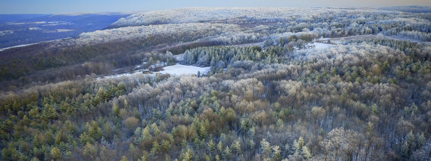
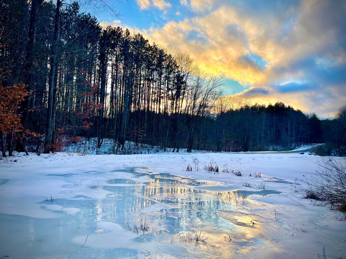
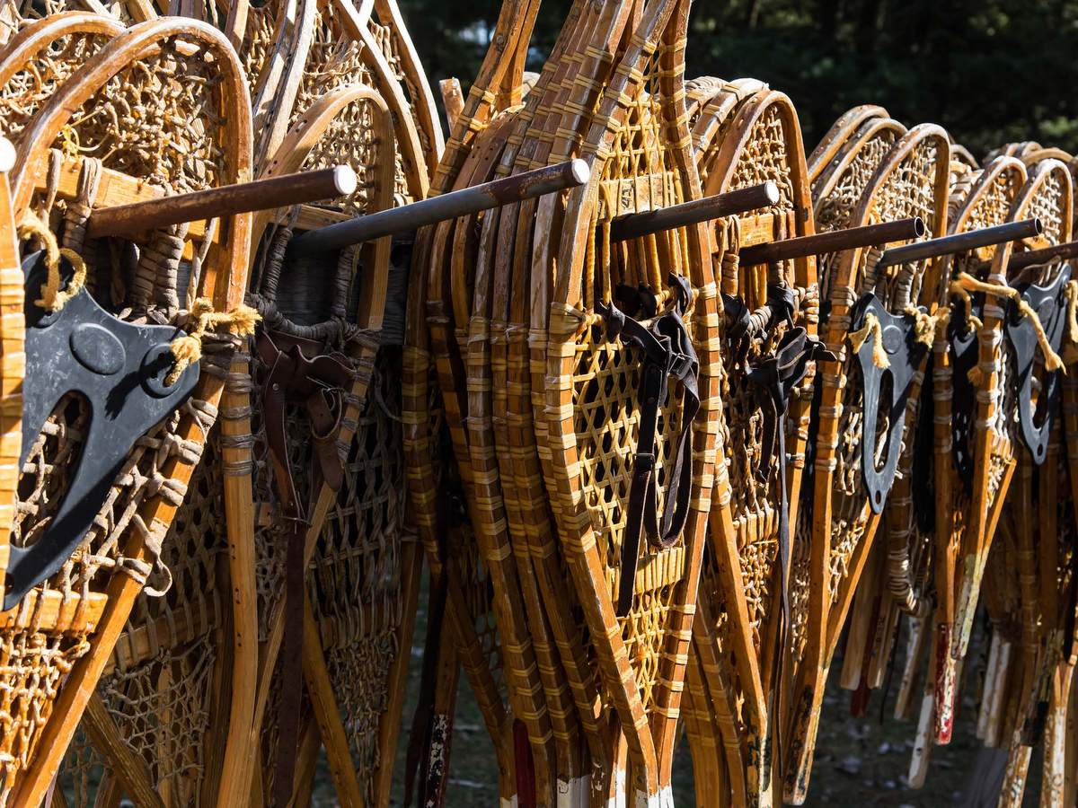
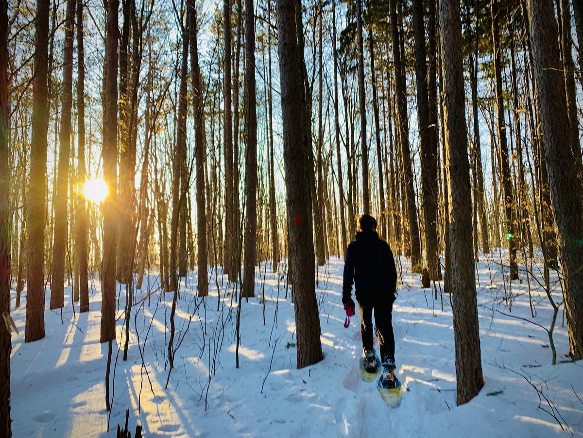
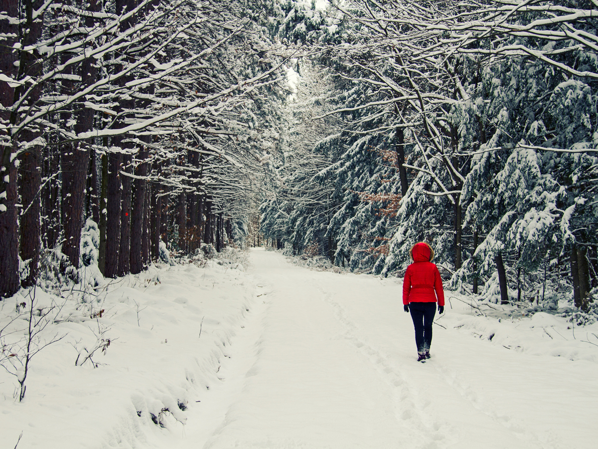
Top Snowshoe Destinations in the Finger Lakes Region
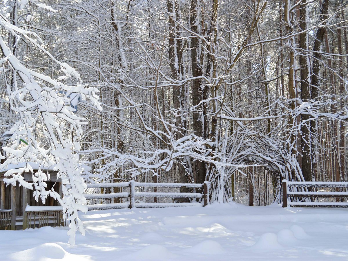
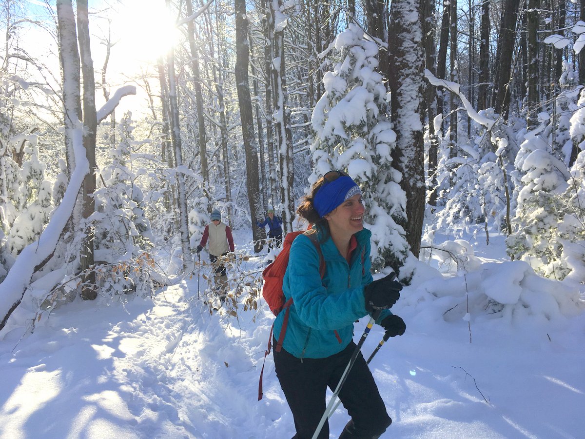
Don’t put away your snowshoes yet! There’s always snow in the higher elevations of the Finger Lakes region! Now’s your chance to get outside and explore this ephemeral winter wonderland before it’s gone. Regardless of your skill level, there is no shortage of places to go. Here are a few of our top snowshoe destinations chosen by the staff at the Finger Lakes Land Trust.
In a region dominated by out-and-back hikes, the Connecticut Hill Wildlife Management Area boasts not one but two separate loop hikes: the Van Lone Loop and the Bob Cameron Loop. The 5.7 mile-long Van Lone Loop shares a particularly picturesque section of the Finger Lakes Trail which follows Cayuta Creek along a mostly level route free of obstructions. The 2.6 mile-long Bob Cameron Loop lies within a deep, mostly deciduous forest with the trail crossing several seasonal streams. There are also numerous forest roads that provide an extensive trail network.
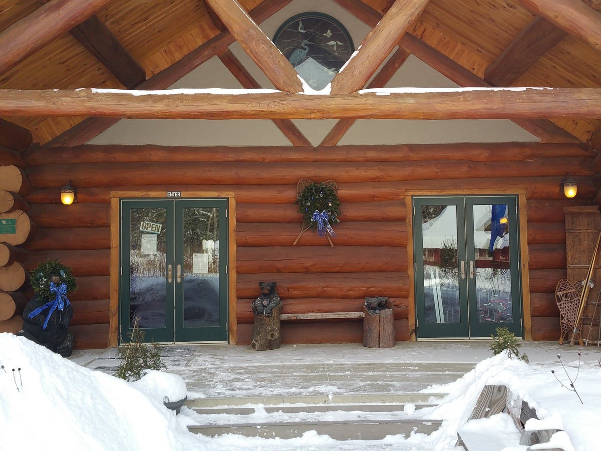
Don’t own a pair of snowshoes? Not a problem! Cumming Nature Center in Naples rents them for $5 and has a 3-mile loop just for snowshoeing. The trails here are perfect for beginners or those looking for a leisurely pace, and are patrolled by the Genesee Valley Nordic Ski Patrol. Acting as the Rochester Museum & Science Center’s “living museum,” the center is perfect for family-friendly fun.
The roughly 8-mile Abbott Loop in Danby State Forest weaves primarily through wooded glens with slow creeks and hilltop oak-hickory forests. Of particular interest along the loop is a spur trail leading to a stunning lookout at Thatcher’s Pinnacles, found along the steep western edge of the forest. From the pinnacle, you’ll find sweeping views of the Cayuga Inlet Valley and the Lindsay-Parsons Biodiversity Preserve of the Finger Lakes Land Trust.
Long trails are in short supply in the Finger Lakes and Central New York. Loop trails as well. Fortunately, Highland Forest has plenty of both. The extensive network of trails—over twenty miles of hiking/snowshoeing trails—intersects numerous wooded streams and rolling terrain through a variety of deciduous and coniferous forests. Furthermore, snowshoes are available to rent at the lodge.
While the trails at many state parks are often closed in winter for safety reasons, Green Lakes is an exception. The park features an 18-hole golf course designed by Robert Trent Jones, where visitors can snowshoe and enjoy wide-open views. For a more challenging experience, a 13-mile trail system on the western edge of Round Lake weaves through open fields and old growth forests, a rare circumstance in the northeast.
Just a short drive from Ithaca, this 241-acre preserve, which features portions of an extensive forest, rolling meadows, and wetlands, is an important connector in a larger array of some 8,000 acres of protected lands. From the north entrance, cross the boardwalk and snowshoe your way into more than 20 miles of multi-use trails at Hammond Hill State Forest. An easy meandering one-mile trail that begins from the south entrance of the preserve leads you through a meadow that encircles a beautiful evergreen plantation.
Located in the Southern Tier just north of Owego, Oakley Corners features a 13-mile multi-use trail system. All trails are color-coded and have a skill level designation: short, gentle trails for beginners, and steeper, longer trails for intermediate and advanced snowshoers. The network of trails here was built by the Triple Cities Ski Club through the New York State Department of Environmental Conservation’s Adopt-A-Natural Resource program and is another great example of how public and private partnerships can make natural resources accessible.
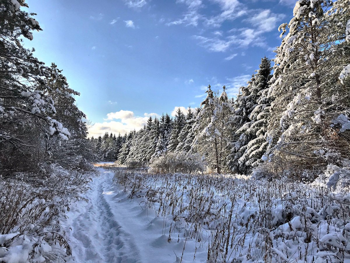
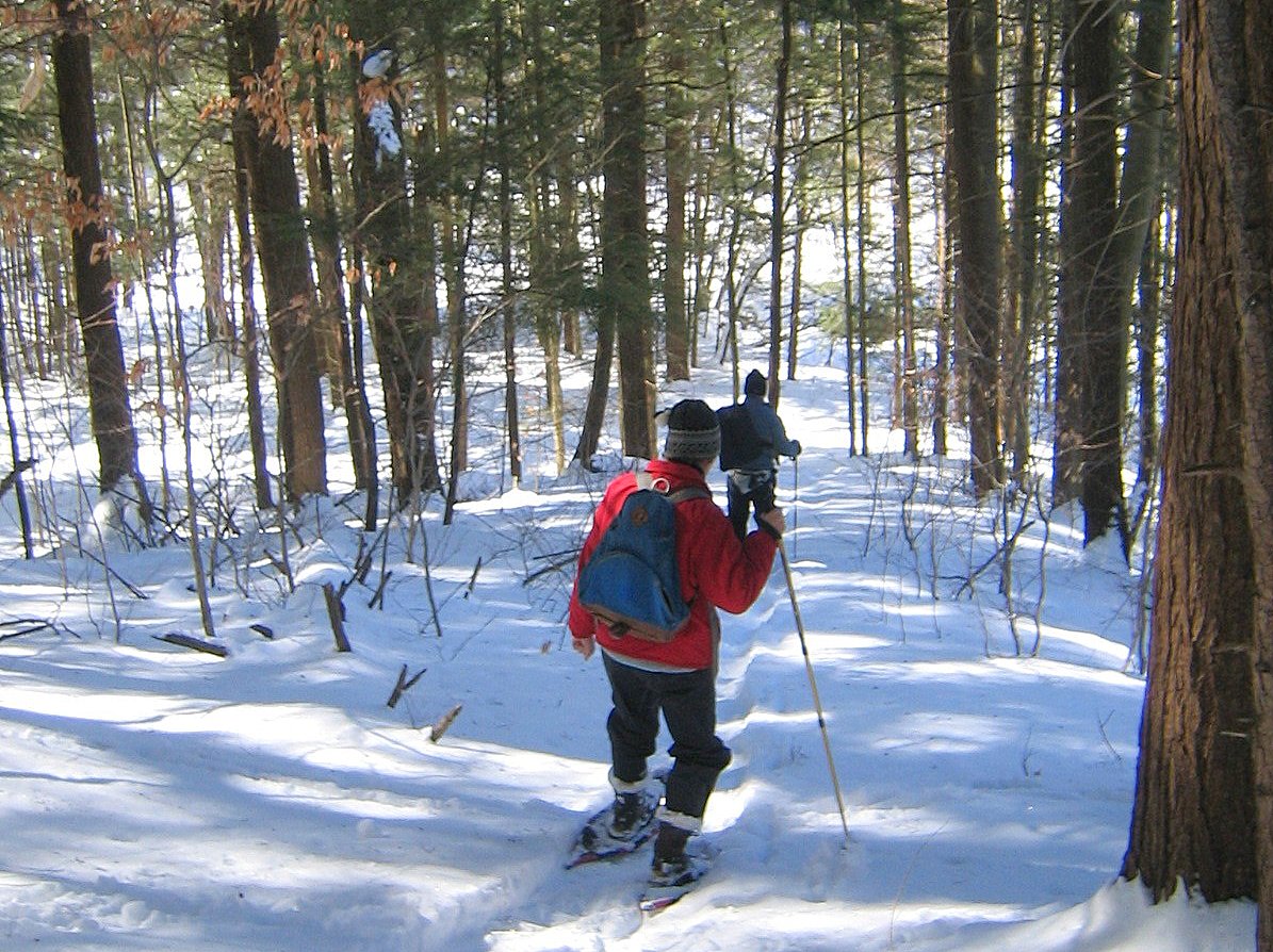
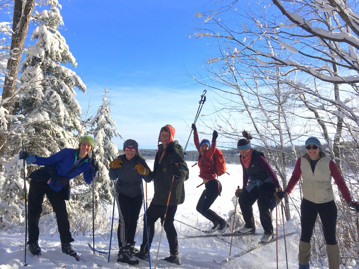
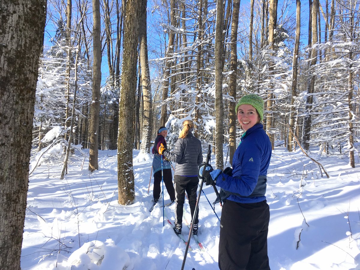
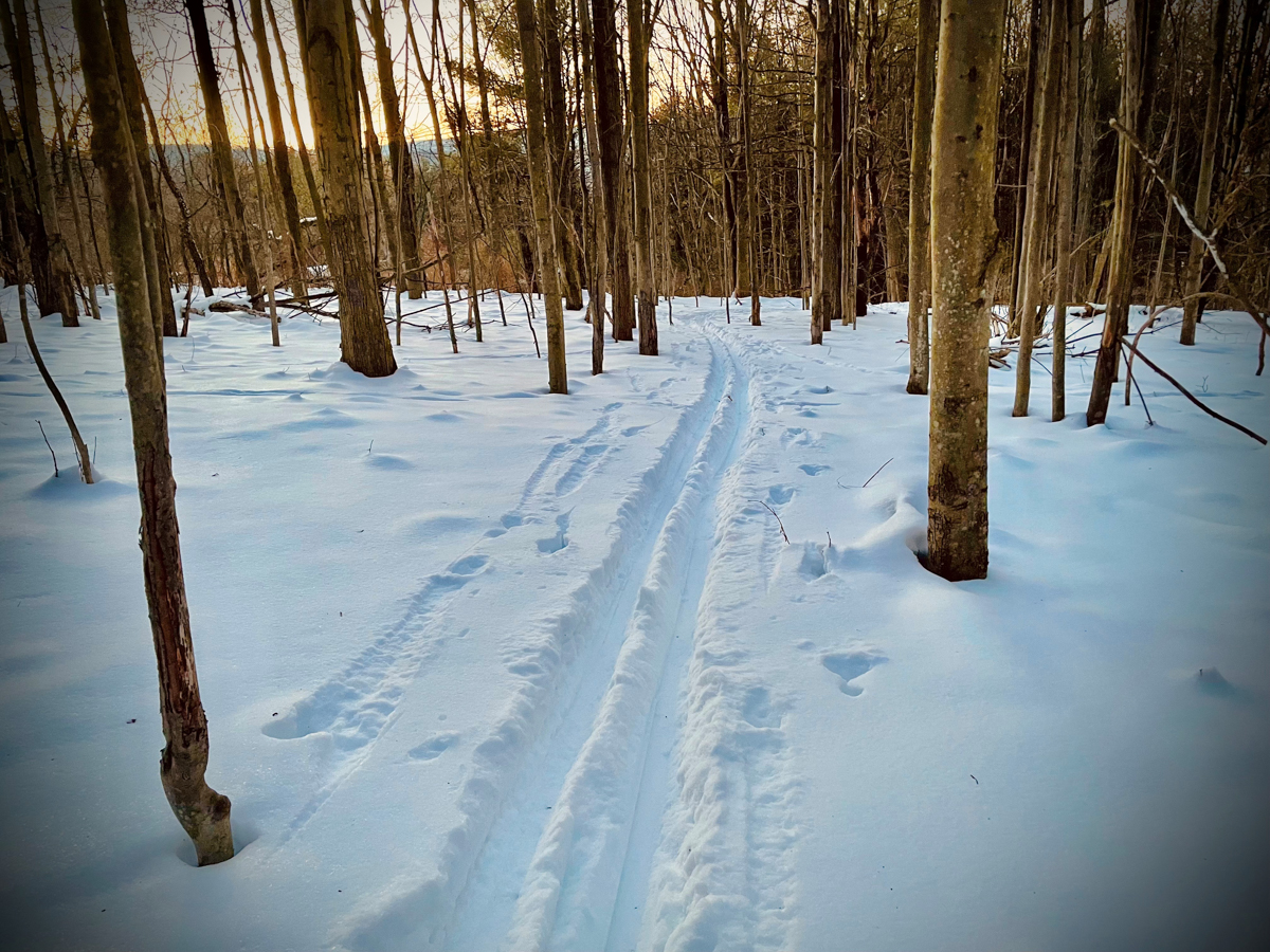
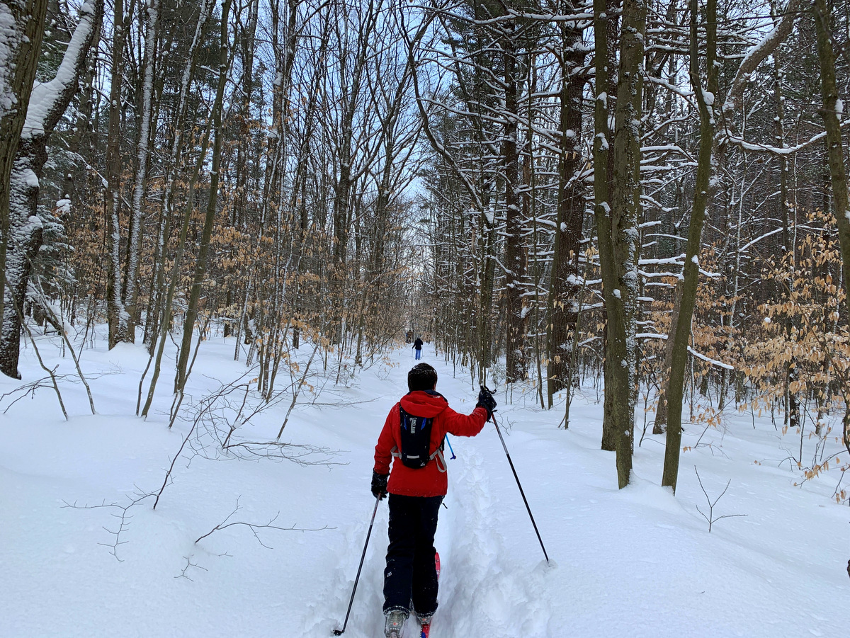
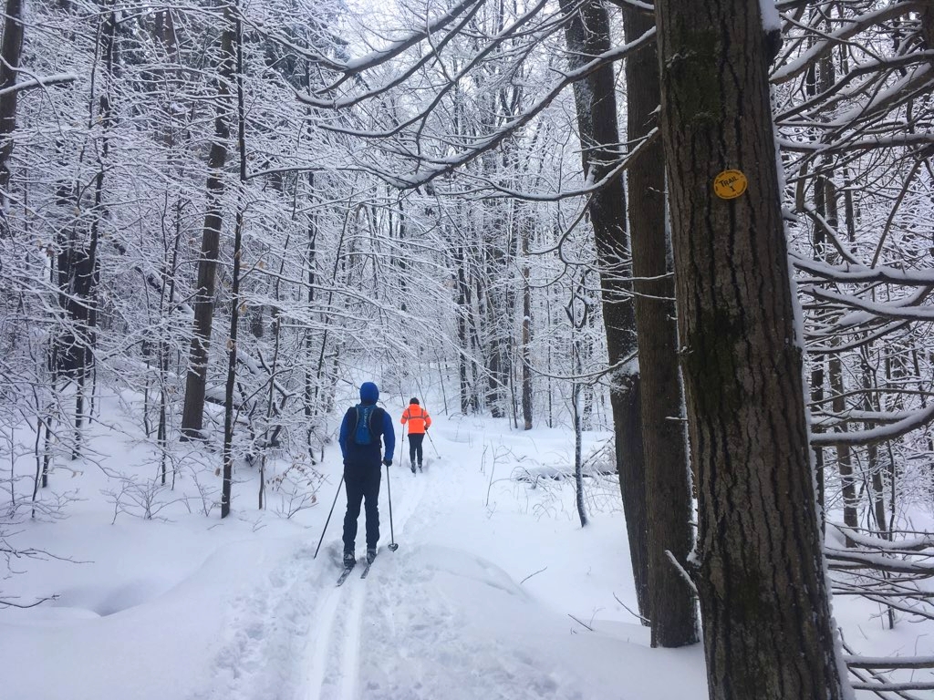
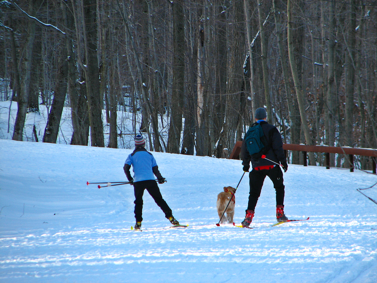
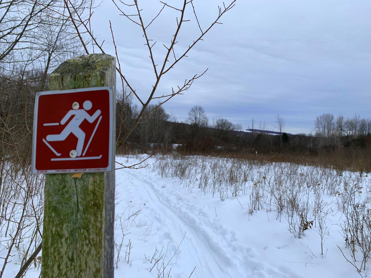
Top 10 Cross-Country Ski Spots in the Finger Lakes Region
It’s time to break out the skis, winter has arrived early! Cross-country skiing is a great way for people of all skill levels to enjoy outdoor recreation while taking in the beauty of the season. From technical terrain in state forests to groomed trails and more, there’s something for everyone in the Finger Lakes. See our top ski spots on this page, and also see the main map with the ski filter selected.
Known for its “Adirondack-like” character, Bear Swamp features extensive wetlands along with 15 miles of multi-use trails that provide lots of options for skiing. The forest overlooks the southwestern shore of Skaneateles Lake and is located in an area that typically receives ample “lake effect” snow. For the most part, the trails weave around and up and over two ridges that flank Bear Swamp Creek.
Connecticut Hill is the largest wildlife management area in New York State, encompassing 11,645 acres. It is also one of the largest contiguous high-elevation forests in the region. Skiers will enjoy the 5.7-mile Van Lone Loop which shares a picturesque section of the Finger Lakes Trail (FLT) that follows Cayuta Creek along a mostly level route free of obstructions. The trail then climbs beside a wooded stream and finally completes the loop by following sections of remote forest roads. Skiers looking for a shorter route can follow the 2.6-mile Bob Cameron Loop near the FLT, but entirely separate.
Nestled between Canandaigua and Honeoye Lakes, Cumming Nature Center is home to 900 acres of diverse habitats, including its iconic 90-year-old red pine stand. In winter, the center offers twelve miles of groomed trails that are flat, easy, and perfect for beginners. No skis? No problem! Equipment rentals are available. The center also charges a modest admission fee to use the trails and recommends purchasing tickets in advance.
The only National Forest in New York, the Finger Lakes National Forest lies on a ridge between Seneca and Cayuga Lakes. When there’s lots of snow, it’s a great option for anyone looking to avoid the more popular spots. The forest is home to over thirty miles of trails which vary from roads and footpaths in the forest to routes that traverse open pastures.
This forest’s 20 miles of trails include easy trails for beginners as well as challenging downhill runs for the most expert skiers. The best maps of the trail system are available online from gofingerlakes.org and the Cayuga Nordic Ski Club, one of several organizations that collaborate with the DEC to maintain the trails in the forest. The trails are broad and provide ample line of sight, making downhill runs exhilarating and less worrisome than narrow hiking trails found in other forests.
Located on the high wooded ridge just west of Honeoye Lake, this state recreation area is one of the go-to places for Rochester-area skiers. Harriet Hollister features a 20-mile network of trails through mature forest with several trails groomed by the Rochester Cross Country Ski Foundation. Trails are marked with the cross-country skier in mind including grade and difficulty levels. Elevations are above 2,000 feet, which makes it a better bet for snow cover than many other locations. Be sure to check out the Overlook Trail for a panoramic view of Honeoye Lake while you are there.
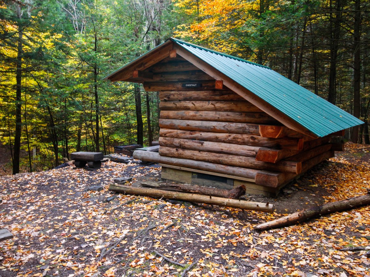
This Onondaga County park spans 2,700 acres of hill country south of Syracuse. There is an extensive trail system of interconnected loops to accommodate long and short trips with the added benefit that the skiing and snowshoeing trails are separate. Along the loops are numerous lean-tos with orientation maps providing great places to stop and gauge your progress.
The 4,422-acre James Kennedy State Forest in Virgil is home to a packed collection of named trails, the popular Virgil Mountain Loop, and the Foxfire lean-to. Skiing is allowed on all hiking trails, but there are also four miles of trails dedicated to cross-country skiing.
This hidden gem in Cortland County boasts 2.5 miles of cross-country ski trails that weave through meadows, forest, and scrubland, often encircling numerous ponds found throughout the 430-acre property. Open from dawn to dusk, the mostly flat trails are perfect for beginners and families with children—with a few steep slopes along the way.
Located in the Southern Tier just north of Owego, Oakley Corners features a network of 13 miles of trails built by the Triple Cities Ski Club. This 1,000-acre forest is located about a half-hour drive from both Ithaca and Binghamton. The state forest is divided into northern and southern sections by Dutchtown Road and though the forest remains mostly the same, skiers will find flatter terrain in the southern section and slightly more rugged difficult trails in the northern section.
Our Favorite Hikes on the Finger Lakes Trail (in the FLX Region)
Over 950 miles long and covering some of the most scenic land in New York, the Finger Lakes Trail (FLT) system runs from Allegany State Park on the Pennsylvania border to the Catskill Forest Preserve, with branch trails to Niagara Falls, the Genesee River valley, the Great Eastern Trail, the central Finger Lakes, and the Syracuse region. This system is built and maintained almost entirely by volunteers.
Here in the Finger Lakes region, there are a few hikes along the FLT that really stand out, including hikes that pass through Finger Lakes Land Trust nature preserves, NY State Forests, and county parks. We invite you to explore some of the best.
Spanning more than 3,000 acres, Birdseye Hollow State Forest has seven designated primitive lakeside campsites and nearly 11 miles along the Finger Lakes Trail. The white-blazed FLT winds its way mostly north to south through predominately deciduous forest, though several conifer plantations dot the landscape as well. Deep woodlands and babbling brooks occupy the majority of the trail experience here, but there is also the short blue-blazed lakeside trail that traverses the transitional space between forest and wetland and offers ample wildlife viewing along the way.
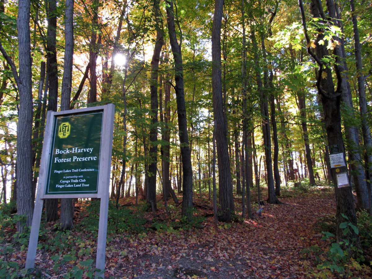
A highlight of the Finger Lakes Trail, this wooded 48-acre preserve offers ideal options for an easy walk or connection to a much longer, more challenging hike. Owned by the Finger Lakes Trail Conference subject to a conservation easement held by the Finger Lakes Land Trust, the Bock-Harvey Forest Preserve features some of our region’s oldest, most majestic trees.
Starting from the parking area on Rockwell Road, the FLT passes through a grove into a large meadow. At a fork in the trail, a yellow-blazed path leads to the “old-growth loop,” which passes by the preserve’s tallest maples, thought to be 300 years old. In the other direction, the trail leads to an overlook with views across Enfield Creek valley and then passes by a lean-to, fire pit, and picnic table perfect for camping.
Hikers looking for a quiet and secluded setting need look no further than the roughly 8-mile Abbott Loop in Danby State Forest. Though the forest is relatively close to Ithaca — less than 10 miles — its 7,337 acres feel perfectly tranquil and the lengthy trail proves the old maxim that a little distance will ensure solitude along the trail. Additionally, in a region with so many out-and-back hikes, the loop configuration is greatly appreciated by those who dislike retracing their steps.
The trail weaves primarily through wooded glens with slow creeks and hilltop oak-hickory forests. Of particular interest along the loop is the trail leading hikers to a stunning lookout at Thatcher’s Pinnacles, found along the steep western edge of the forest. The forest is thinned here, and from the pinnacle you’ll find sweeping views of the Cayuga Inlet Valley and the Lindsay-Parsons Biodiversity Preserve of the Finger Lakes Land Trust.
The forest is home to over thirty miles of trails which have a mixture of uses ranging from hiking, mountain biking, skiing, snowshoeing, and horseback riding. The trails vary from roads and worn footpaths in the forest to sunken ruts or merely painted stones in the fields. Though a short portion of the Finger Lakes Trail (FLT) crosses the southern boundary of the forest, much of the trail system is closely tied to the twelve mile north-south oriented Interloken Trail — a branch trail along the FLT. The Interloken Trail forms the central axis through the forest while the other trails are either side loops or form parallel north-south oriented trails.
Wooded glens and open pastures comprise the majority of the landscape in the Finger Lakes National Forest. However, the pastures are what make these trails distinct from those in other forests. As is the case on many federally-owned lands, grazing is permitted. Hikers will find that they share the pastures with cattle during the months of May to October, and must use a series of locking cattle gates when venturing in and out of the fields. Aside from the oddity of bovine accompaniment, the pastures provide excellent vistas and habitat for a variety of grassland birds.
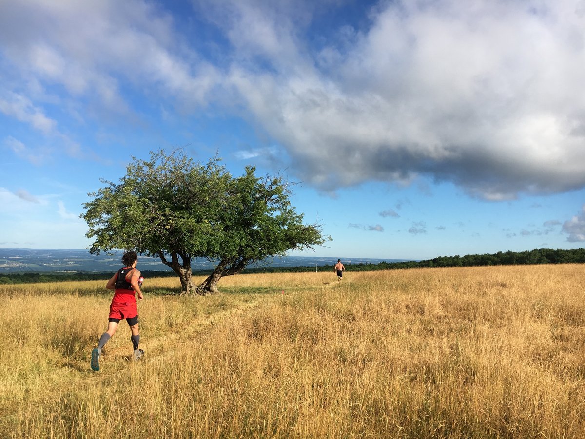
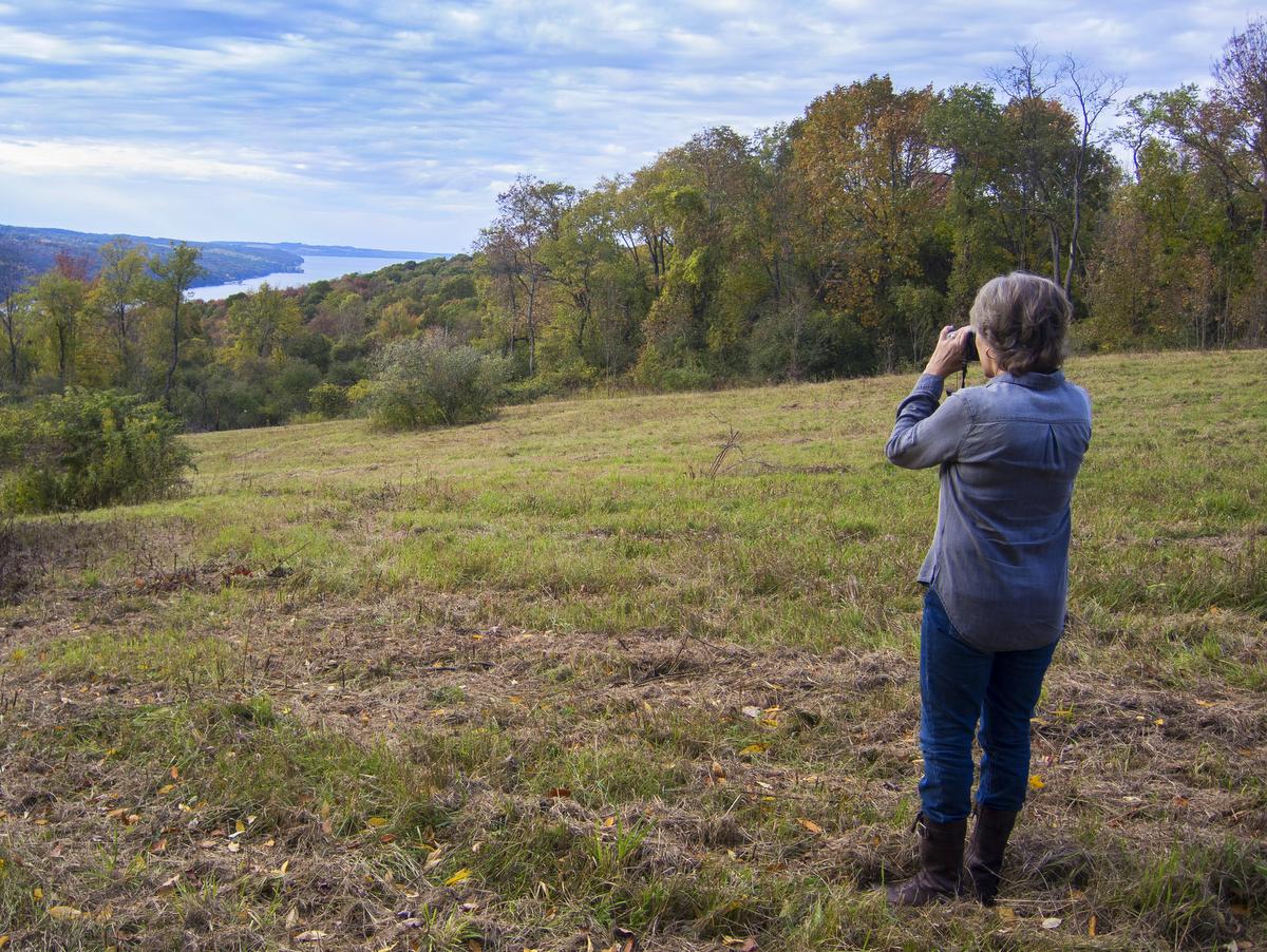
There are not many trails with broad scenic views in the Finger Lakes region, but the ones that do exist are high on the must-visit list. Among those trails with a view, the “Jump Off” overlook at Gannett Hill is one of the best. But the lookout is just the beginning of the activities available in the 400-acre county park. A vast network of trails, over 10 miles in total, weaves through the woodland and over steepened hillsides of the Bristol Valley.
Trails are laid out in different loops that occasionally connect. Each trail is well marked, has its own color, and also provides an indication of trail difficulty—difficulty being a measure of ruggedness and elevation change rather than distance. The trail network actually extends beyond the park boundaries along the Bristol Hills Trail, a spur of the Finger Lakes Trail. This branch trail snakes its way through several parks, state forests, and wildlife management areas. It totals roughly 55 miles from Gannett Hill in the north to the main Finger Lakes Trail in Mitchellsville to the south. The trails beyond the park boundary are for foot travel only, and you will certainly notice the change as access is through tight V-shaped structures that preclude anything but hikers from passing further.
Opportunities abound for all types of outdoor enthusiasts at the High Tor Wildlife Management Area (WMA). With ponds, waterfalls, rivers, gorges, forests, and open fields, there is an abundance of outdoor experiences waiting within the 6,315-acre wildlife management area.
There are over a dozen miles of hiking trails in the 3,400-acre upland portion of High Tor WMA, including the 4.8 mile High Tor Loop of the FLT. No matter which approach you choose to reach the upland site, the climbing is steep. But, once you reach the top, the hiking is fairly level. The trail network is a mixture of access roads and rugged worn footpaths that wind their way through open fields and dense woodlands with the occasional wooded glen and pond to spice up the experience. The trail system is also a part, albeit only a short section, of the more extensive Bristol Hill Trail, a branch trail of the FLT.
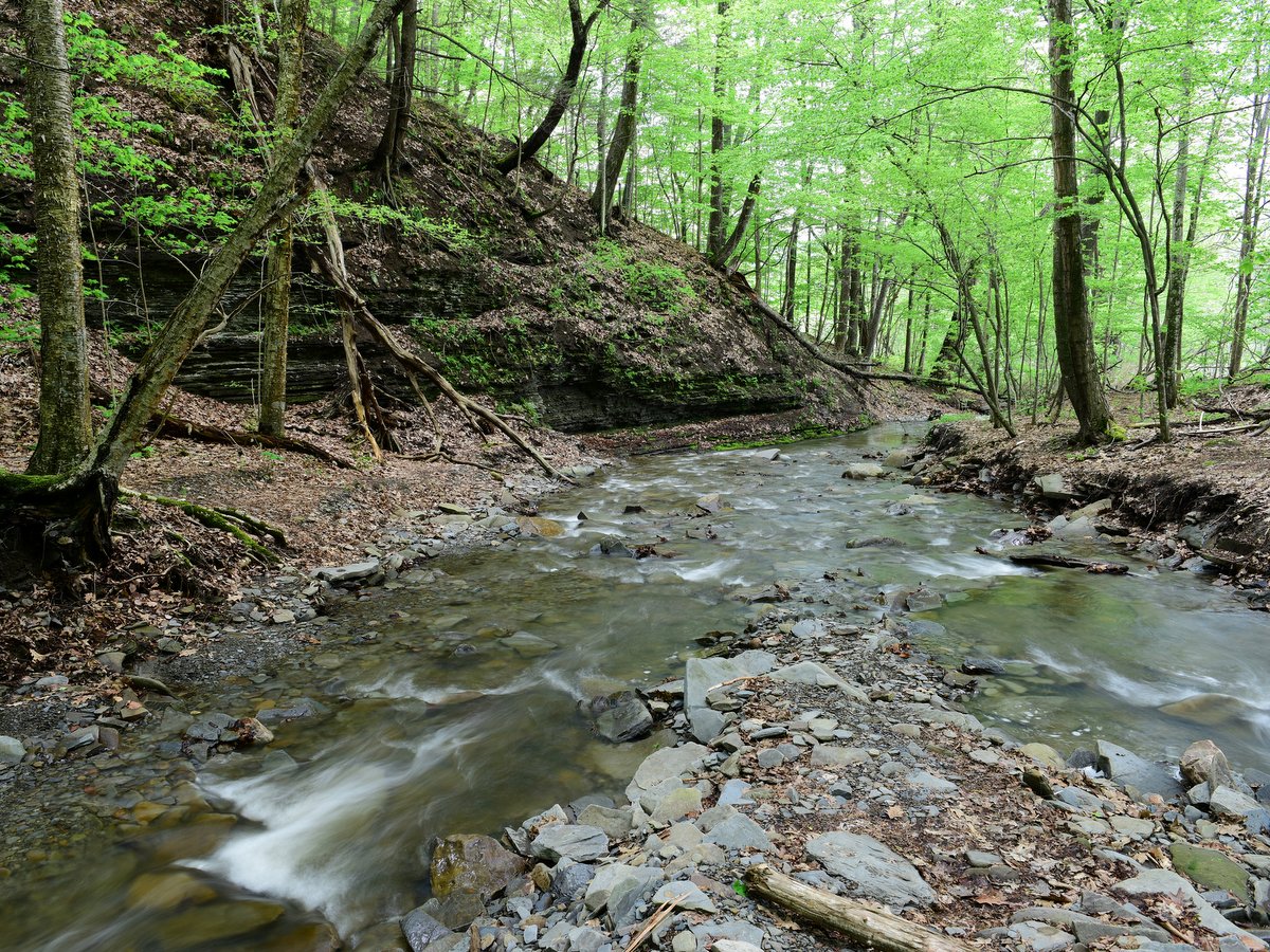
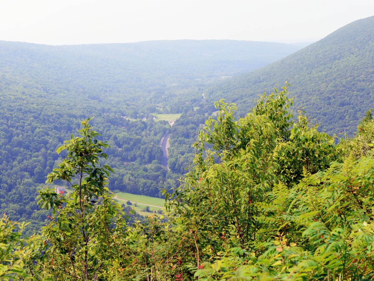
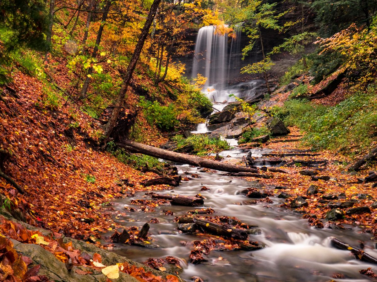
During the last ice age, glaciers thousands of feet thick blanketed much of northern North America, sculpting the beautiful topography of the Finger Lakes region. The effects of these glaciers can be seen in the multiple waterfalls that splash down along Lick Brook on its journey to Cayuga Lake, including one that is nearly 140 feet tall. The Finger Lakes Land Trust’s Lick Brook Gorge preserve hosts a popular stretch of the Finger Lakes Trail that runs along the gorge. Ambitious hikers can continue along the trail to Buttermilk Falls State Park to the east and Robert H. Treman State Park to the west.
Morgan Hill State Forest and Labrador Hollow Unique Area are often referred to as one and the same, and to a certain extent it is true. They are, for the most part, contiguous parcels and are connected by the North Country Trail.
The best trips to the area include both locations and combine the striking scenery from Labrador Hollow (including a 100-acre glacial lake) with the rugged wildness of Morgan Hill. However, Morgan Hill remains the destination of choice for more serious hikers, backpackers, and those who want an extra challenge. The rugged trails feature some higher levels of difficulty along lengthy rising and falling treks which experienced hikers will cherish. Since the trails to Tinker Falls and the Jones Hill hang glider launch at Labrador Hollow are the most popular and farthest many visitors travel, hikers that delve into Morgan Hill will be rewarded not only with a deep forest setting, but solitude as well.
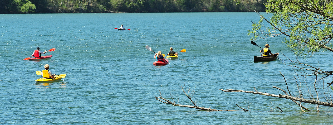
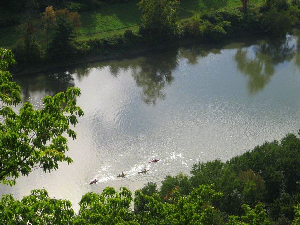
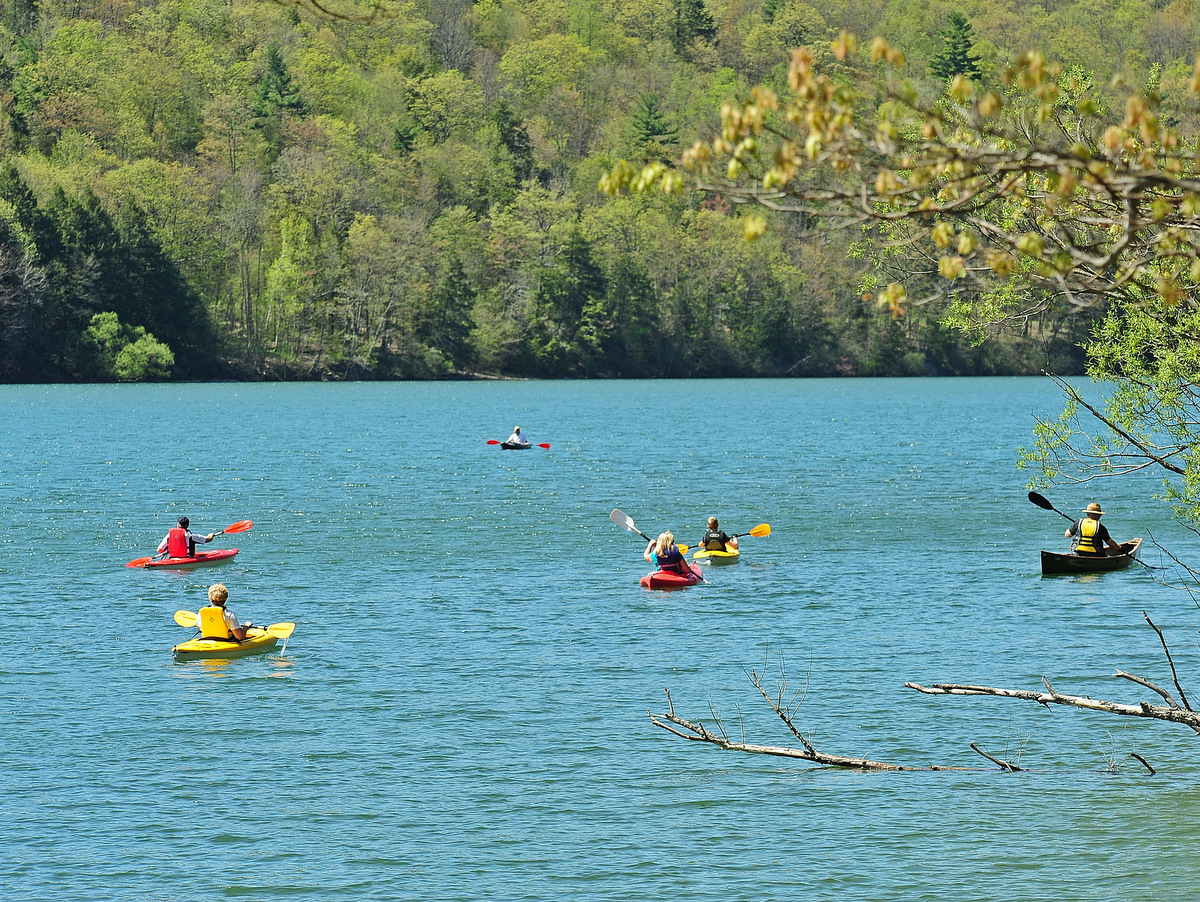
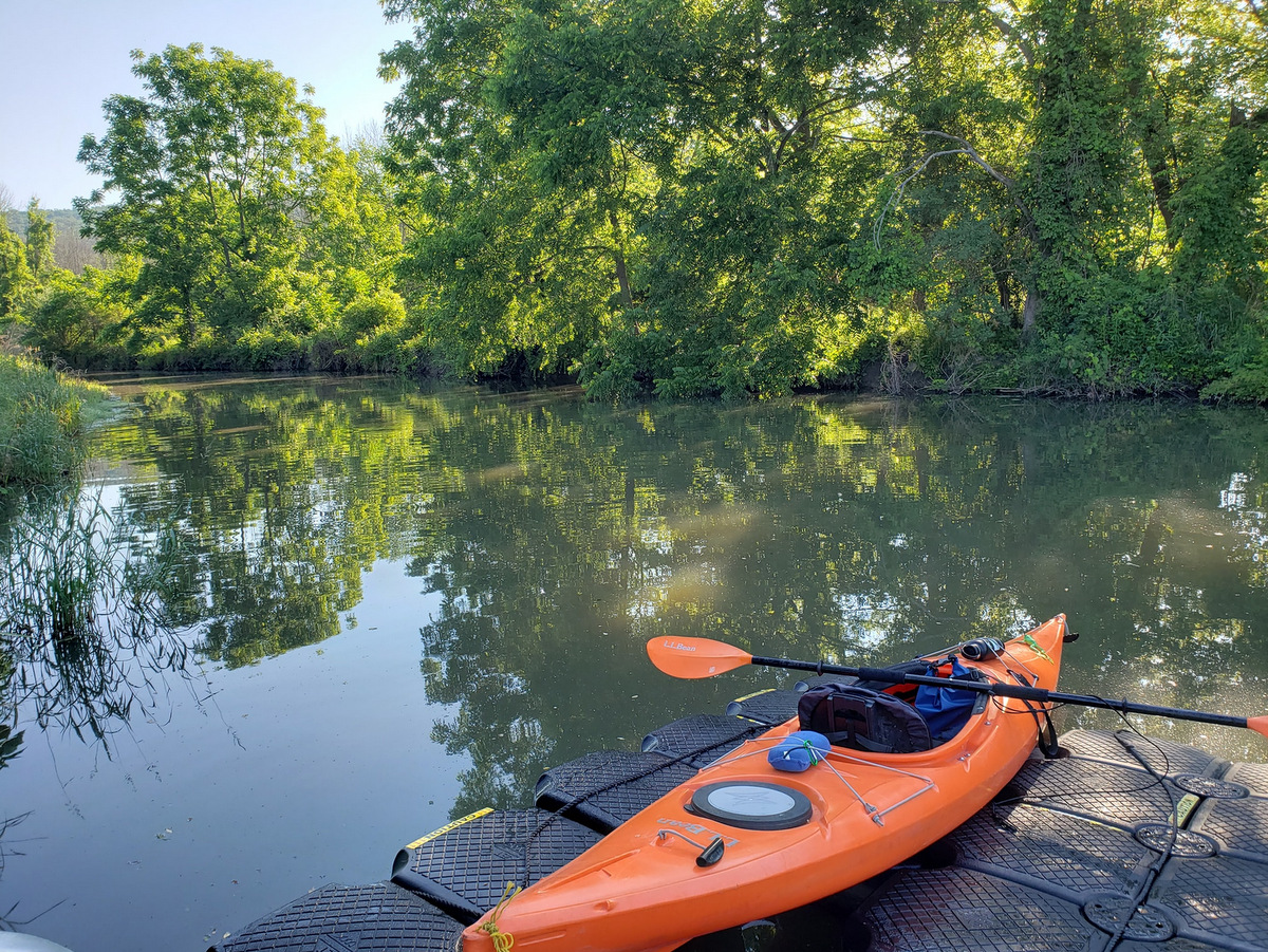
On a warm summer afternoon, there is no better way to enjoy the beauty of the Finger Lakes than by boat. While many people are familiar with powerboating on the open waters of the lakes, exploring the region in a kayak, paddleboard or canoe can be incredibly rewarding. From eleven beautiful lakes—including two completely undeveloped lakes—to bayou-like swamps and a mighty river, the region boasts a diversity of opportunities for quiet water paddling. See our top favorites.
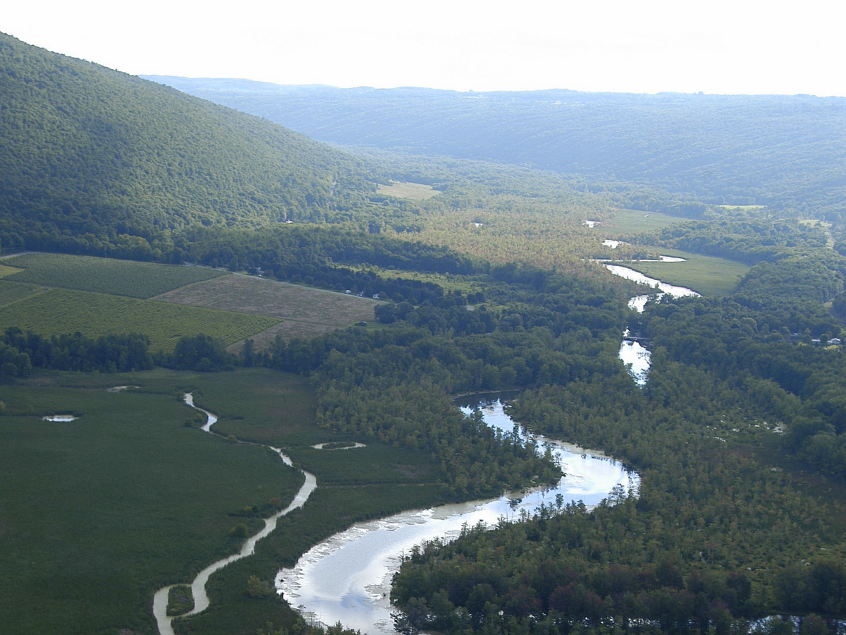
Wild rivers in New York are typically thought to be found only in the Adirondack Park, but the Chemung River is a great alternative for paddlers looking for a scenic trip local to the Finger Lakes region. The river is over 45 miles long, but many first-time visitors will prefer the six-mile stretch between Bottcher’s Landing in Big Flats and the Fitch’s Bridge pullout just west of Elmira. This stretch of the river is particularly picturesque and passes under the steep Palisades, a long sinuous cliff hundreds of feet high that looms over the river along its southern shore.
Paddling the six-mile stretch should take a couple hours but trips of a few days are also possible. It is even possible to continue along the Chemung to the Susquehanna and eventually to the Chesapeake Bay on a river adventure of epic proportions. Connect with one of many outfitters in the area to make your river trip easy.
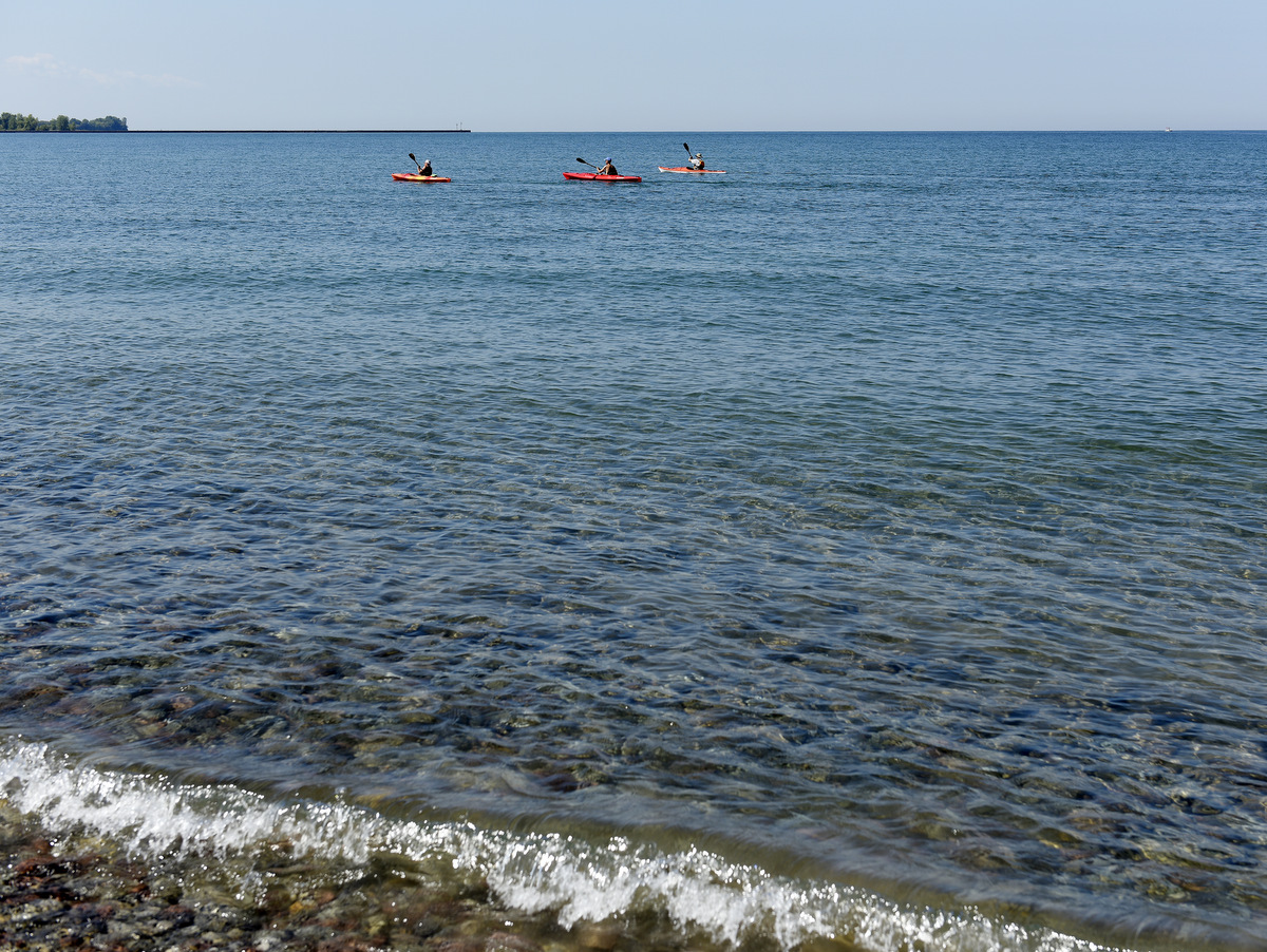
Like many New York State Parks, Fair Haven Beach is an ideal spot for families looking to sample a variety of activities rolled into one package. Hiking, camping, swimming, and paddling are all on the list, but of course, the main draw here is Lake Ontario and its ocean-like setting. One of the other great features at Fair Haven is Sterling Pond. Protected by sand dunes from the Great Lake’s wind and waves, the pond’s waters are mostly placid and an idyllic site for anglers, paddlers, and birders. And if you don’t have a canoe or kayak, they are available for rent just across the road from the eastern swimming area.
Paddlers are welcome to enjoy over 2,000 acres of tranquil water, free of the common boat traffic found on all of the other Finger Lakes. The shores of these gems are free of development and utterly wild, so exploring Hemlock-Canadice State Forest is like stepping back in time to behold the Finger Lakes in their natural state.
Please note: there is no swimming here. Otherwise, these preserved lands offer an abundance of recreational activities. With placid water to paddle and over 20 miles of multiuse trails surrounding the lakes, there is a lot to do and see and the opportunities are expanding.
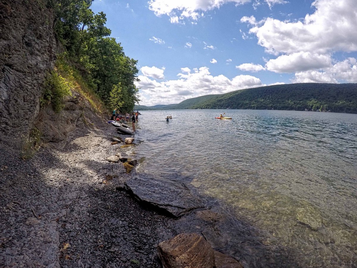
Over four miles long, the meandering West River at High Tor Wildlife Management Area provides ample paddling in an almost idyllic landscape. Tall cattails and thick lily pads carpet the banks throughout the 1,700-acre marshland. Surrounded by forested hillsides, the river and vast wetlands are truly peaceful and a world unto itself. In fact, paddling up the West River to the developed shores and loud motors on Canandaigua Lake feels a bit like stepping forward in time as the wilderness cedes to civilization. It is akin to Adirondack paddling trips and a true testament to how removed the river and wetlands actually feel.
Ambitious paddlers can explore the lake itself, but be advised strong north-south winds sometimes fill the center of the lake with tall waves. Various car top launch points are available along the river as well as on the southwest corner of Canandaigua Lake.
Howland Island Wildlife Management Area. Photo: Bill Hecht
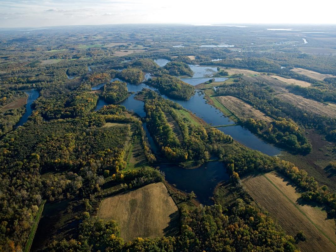
Paddlers will enjoy both the river and canal surrounding Howland Island with the added benefit that this is a “round” river trip. This type of configuration means you can paddle the river and canal and end up right where you started without retracing your course. As expected, these experiences are very rare and make planning a trip easy. The entire circuit would be about 10 miles and this includes the Seneca River, the Swift Water Channel, and the Erie Canal.
Longer trips can be created by navigating further along the Seneca River and looping back along the Erie Canal further to the southwest. While larger powered boats will be encountered along the canal these large boats tend to avoid the river due to thick weeds and other obstructions. The Montezuma Audubon Center, the informational hub for the Wetland Complex, offers regular, naturalist-guided, paddling trips to further enhance the experience.
At the southern end of Owasco Lake is an inlet and diverse floodplain that provide excellent birding, paddling, and a couple of short nature trails. Commonly known as Owasco Flats, the inlet serves as an important habitat for fish spawning within its emergent marshes, which also does double duty as a natural water quality buffer for Owasco Lake.
During the spring, runs of rainbow trout will find fisherman nearly shoulder to shoulder along the inlet trail. But paddling along the inlet is the activity that really shines here. The slow and quiet paddler will be rewarded with ample bird spotting and rare photo opportunities. When conditions permit, paddlers can explore the inlet all the way to Rt. 38 in Moravia.
A paddle along Skaneateles Lake’s eastern shore will wow paddlers young and old. Leave from the boat launch at the Town of Scott Family Park, located just off of Glen Haven Road. From there, a two-mile paddle along the lake’s edge will bring you to the Finger Lakes Land Trust’s Cora Kampfe Dickinson Conservation Area which protects 1,300 feet along the bluffs known locally as the “Staghorn Cliffs.”
Here, the lakeshore bedrock contains staghorn coral fossils. Peer into the water or step out of your boat to see an ancient coral reef from the Devonian Period, ca. 400-350 million years ago.
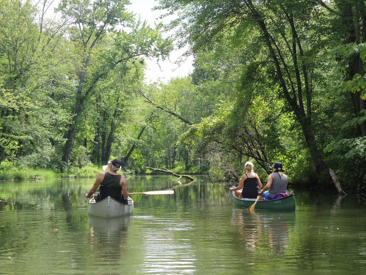
Along the picturesque west branch of Keuka Lake, lies a peaceful and biodiverse area awaiting exploration by boat. Paddling from the Saunders Finger Lakes Museum’s boat launch in Branchport gives you the opportunity to pass through a forested stream channel, wetlands, and into the open waters of the lake beyond. Choose your own adventure, which can, of course, incorporate all three.
Travel south from the launch and you will find yourself between two tracts of wetlands including the 16-acre Townsend-Grady Wildlife Preserve. This parcel has more than 1,400 feet of frontage on Sugar Creek, which is a navigable inlet to the lake. Paddle to the north on Sugar Creek and discover a forested wonderland.
Other excellent Finger Lakes paddling opportunities highlighted on gofingerlakes.org include:
A man-made pond is a short distance from the parking area along Texas Hollow Road, so boaters can easily portage in for some tranquil paddling and excellent fishing.
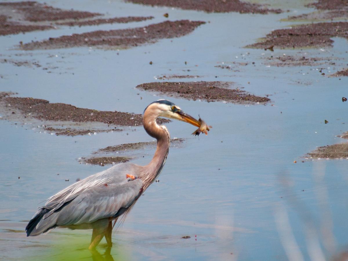
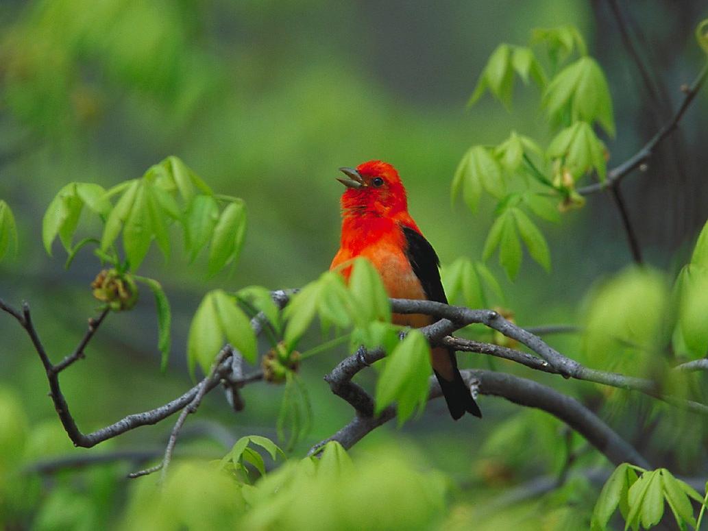
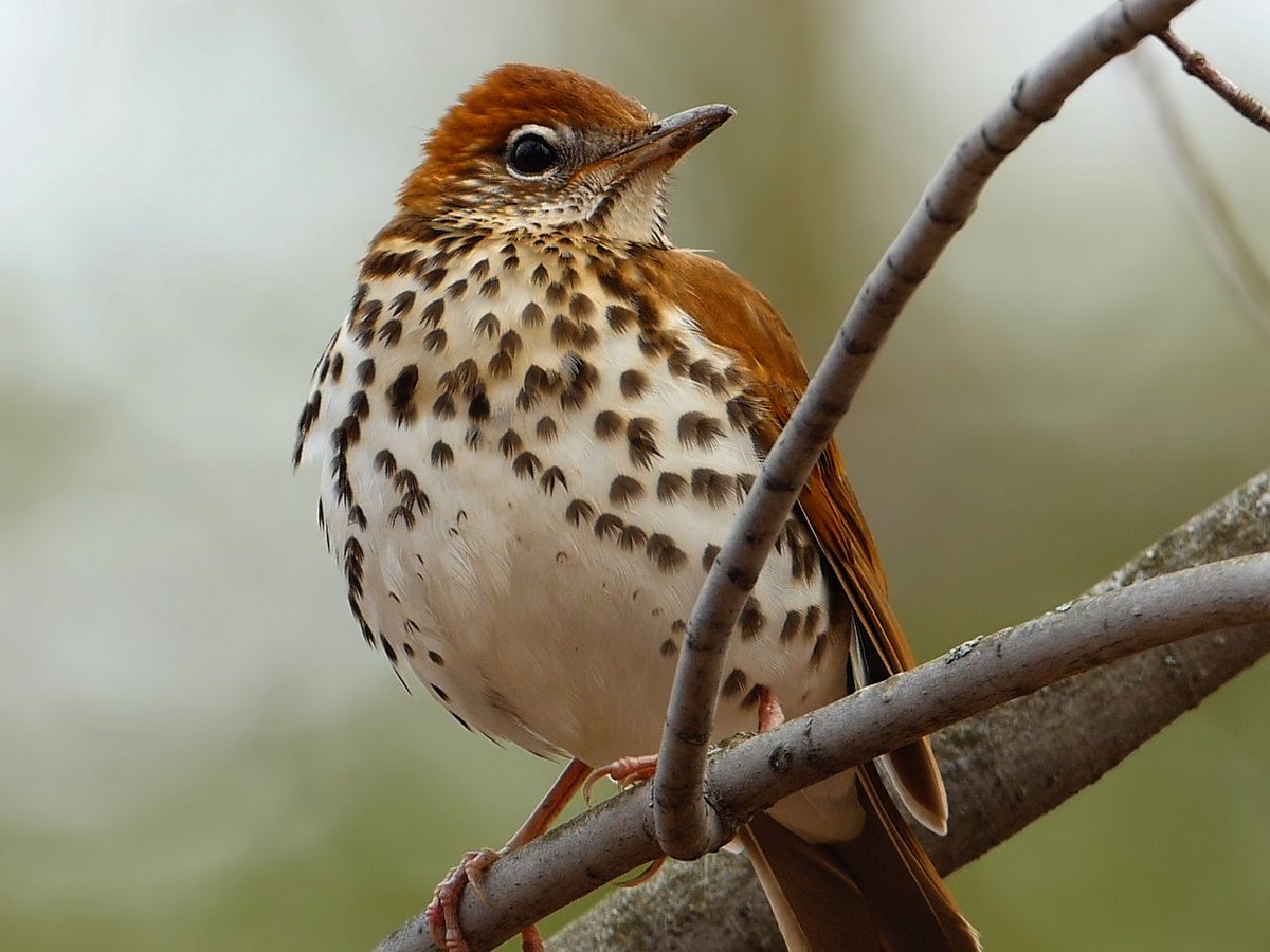
Over 300 species of birds have been recorded in the Finger Lakes region. If you are a beginning birder, it’s a great place to get started. If you are already a diehard, you can devote hours and hours, week after week, to birding here and never run out of rewarding discoveries. And whether you live in our region or are here just for a short visit, you have endless options about where to find the birds, all year round.
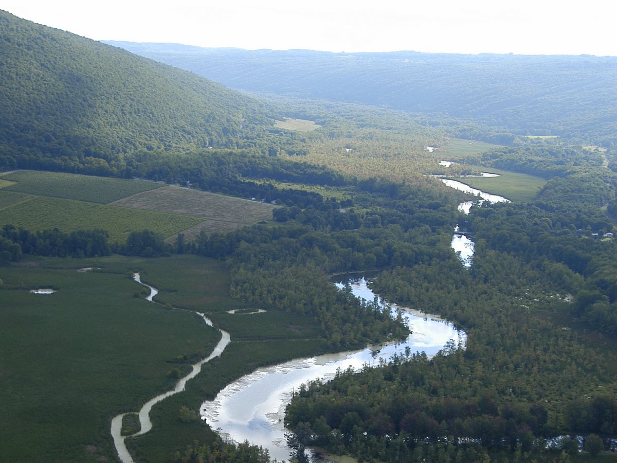
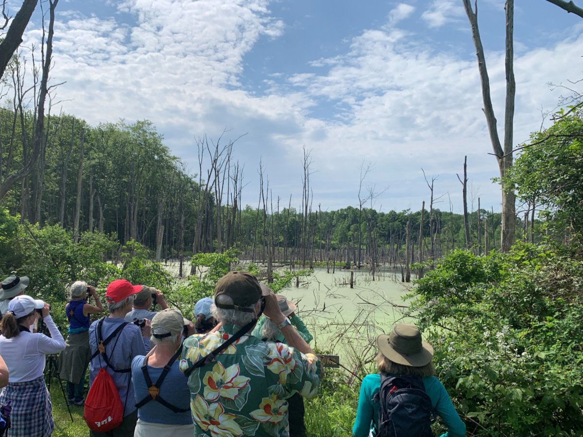
Montezuma is the crown jewel of the area’s birding sites, almost literally at the top center on the map of the region at the north end of Cayuga Lake, within an hour’s drive of Syracuse, Rochester, and Ithaca. The refuge itself encompasses almost 10,000 acres, but is only one part of the Montezuma Wetlands Complex, a vast patchwork of almost 50,000 protected acres, or about 78 square miles. Most people begin their visit at the refuge’s visitor center and then proceed slowly on the Wildlife Drive around the Main Pool. During spring and fall migration, these open waters host hundreds of thousands of migrating ducks, geese, swans, grebes, coots, cormorants, and every now and then, even local rarities such as American White Pelicans. Montezuma also hosts a dazzling array of charismatic breeding birds throughout the summer, and in winter, the area is still excellent for roadside birding, perhaps most notably for wintering Snowy Owls and Northern Shrikes.
Located in Ithaca, this 220-acre sanctuary is the home of the Cornell Lab of Ornithology, one of the world’s leading institutions dedicated to the study and conservation of birds. Sapsucker Woods is a particularly good place to start if you are new to birds and birding. The sanctuary itself has more than four miles of trails, which are all wide and flat, making for easy walking even for young children. Comprising beech-oak forest, swampland, brushy edges, and ponds, Sapsucker Woods typically hosts more than 150 bird species per year. During peak migration in May and September, birders collectively find 20+ species of warblers, plus vireos, thrushes, and much more. Summer is less of a riot of diversity, but still, with a well-trained ear, one can find 50 or more breeding bird species in Sapsucker Woods, including Barred Owls, Northern Waterthrushes, Scarlet Tanagers, and of course eponymous Yellow-bellied Sapsuckers.
With ponds, waterfalls, rivers, gorges, forests, and open fields, there is an abundance of wildlife habitats within the 6,315-acre wildlife management area in Yates County. Numerous songbirds and marshland birds may be viewed here. No doubt the rich habitat and all the wildlife it supports is why the Audubon Society has recognized High Tor as an Important Bird Area.
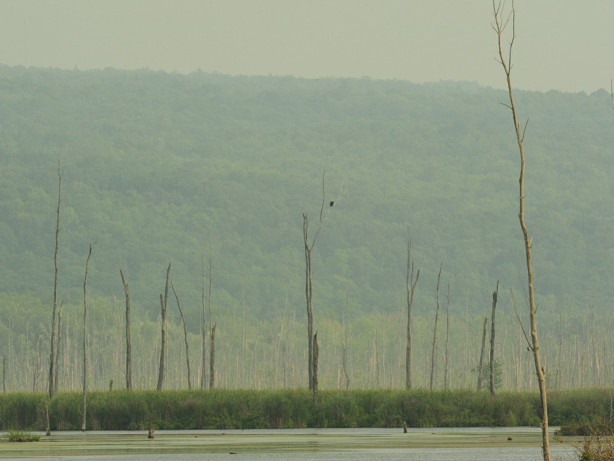
A Bald Eagle at the Conesus Inlet WMA. Photo: Nigel Kent
The Conesus Inlet Wildlife Management Area is 1,120 acres of broad, flat floodplain nestled between two glacially steepened hillsides at the foot of Conesus Lake. Its marshland habitat is a favorite stopover for numerous species of migratory birds, and Bald Eagles have been nesting within the area and can be seen fishing the lagoon.
Located northwest of Rochester, on the shore of Lake Ontario, Braddock Bay is one of New York State’s best birding spots and includes several habitat types: grasslands, woodlands, open water, wetlands, shoreline, and marshes. All of these provide shelter, food, and nesting for nearly every type of bird that uses the Atlantic Flyway. Well over 300 bird species have been sighted at Braddock Bay, including more than 130 songbirds and 23 raptors. And the sheer quantity of species is compounded by the volume: millions of birds each year.
Located on the eastern shore of Cayuga Lake, this natural area—formerly known as Bell Station—is a remarkable property that features 3,400 feet of pristine shoreline, wooded hillsides, extensive fields, and several small streams with cascading waterfalls. Bald Eagles are frequently seen on the property and waterfowl seasonally congregate off the shoreline.
The Finger Lakes Land Trust owns many lesser-known nature preserves, open to the public and much beloved by locals but often overlooked by visitors. Here you can really discover the variety in our regional landscapes, and accordingly, the diversity of our breeding birds. See our top three below.
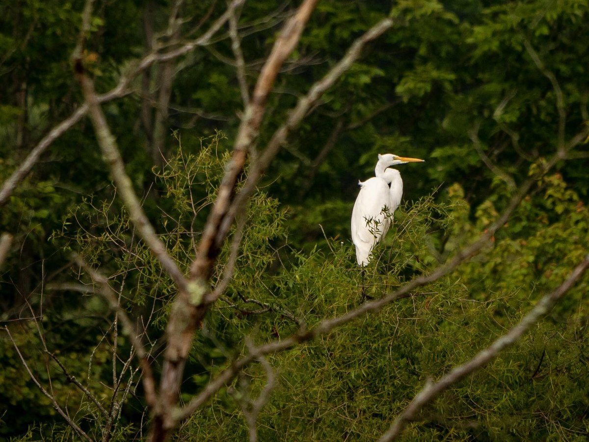
Great Egret at the Lindsay-Parsons Preserve. Photo: Chris Ray
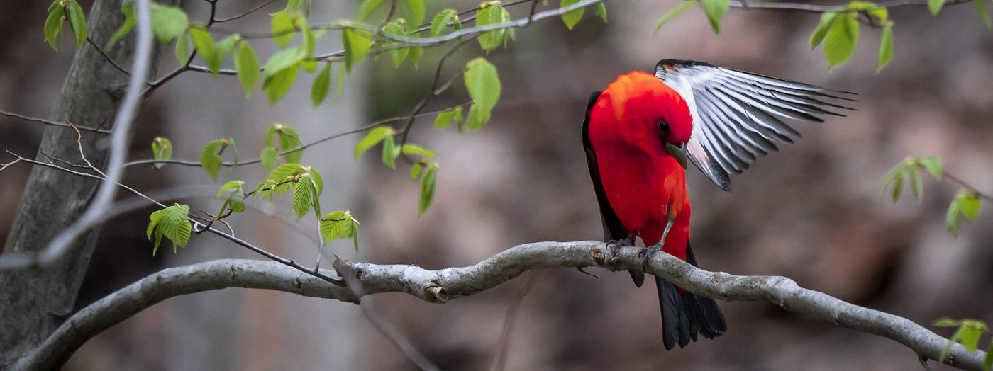
Located in West Danby, Tompkins County, this preserve covers more than 500 acres of meadows, hedgerows, hardwood forest, hemlock woods, and streams and ponds. Over 70 species of birds nest here in a typical year, including both Yellow-billed and Black-billed Cuckoos, plus Prairie Warblers among 17+ breeding warbler species.
The Hinchcliff Preserve in Spafford, Onondaga County, has a similarly impressive mix of habitats and bird species across its 206 acres, plus a sweeping view of Skaneateles Lake.
And in the 390-acre Wesley Hill Preserve between Canandaigua and Honeoye Lakes, you can expect to find Hermit Thrushes, Eastern Bluebirds, and up to three dozen other species on a slow morning walk through the mature hardwoods and conifers in spring and summer.
The Finger Lakes Trail system runs from Allegany State Park on the Pennsylvania border to the Catskill Forest Preserve, with branch trails to Niagara Falls, the Genesee River valley, the Great Eastern Trail, the central Finger Lakes, and the Syracuse region. This system is built and maintained almost entirely by volunteers. The Finger Lakes Trail Conference (FLTC) invites you to hike the trail and volunteer to keep it beautiful; see their site for maps and tools.
For a comprehensive list of all 232 miles of trails in Tompkins County, visit ithacatrails.org.
Funded by a grant from the Tompkins County Tourism Program, the site allows users to search for trails based on the type of experience they are looking for. It has the flexibility to allow searches for information such as distance, difficulty, dog walking, scenic views and picnicking.
The project is a partnership of the Tompkins County Parks and Trails Network. Partner organizations include the Cornell Botanic Gardens, Town of Ulysses, Tompkins County Tourism Program, Tompkins County Planning Department, Ithaca Tompkins County Convention and Visitors Bureau, the Finger Lakes Land Trust, NY State Parks, the NYS Department of Environmental Conservation, Ithaca College Natural Lands, Cornell Lab of Ornithology, City of Ithaca, Town of Ithaca, Town of Lansing, Town of Dryden, Town of Danby, the Nature Conservancy and user groups like Bike Walk Tompkins, the Cayuga Trails Club, and Finger Lakes Trails Conference.
Happy exploring around beautiful Tompkins County.
Need public transportation? The TCAT to Trails map provides information on access to various parks and trails in Tompkins County from TCAT bus stops.