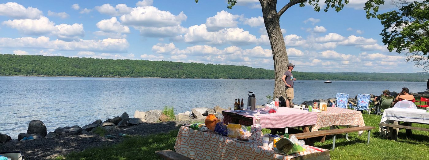
Top Ten Picnic Spots in the Finger Lakes Region!
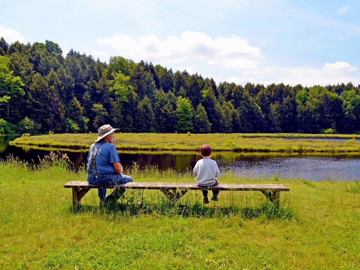
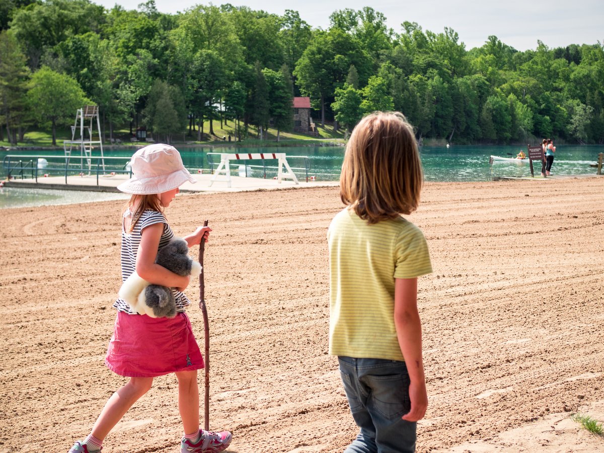
May is National Barbecue Month! Enjoying a picnic or barbecue is one of the most enjoyable warm-weather activities to share with friends and family. The Finger Lakes offers ideal locations with amenities such as picnic tables, grills, restrooms, and plenty of gorgeous scenery. If dining outdoors by a picturesque lake or waterfall is your thing, we invite you to explore our top ten favorite spots in the region.
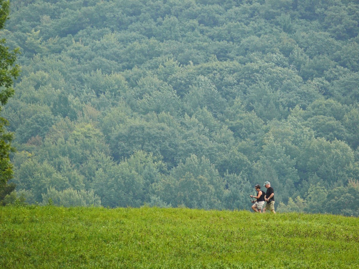
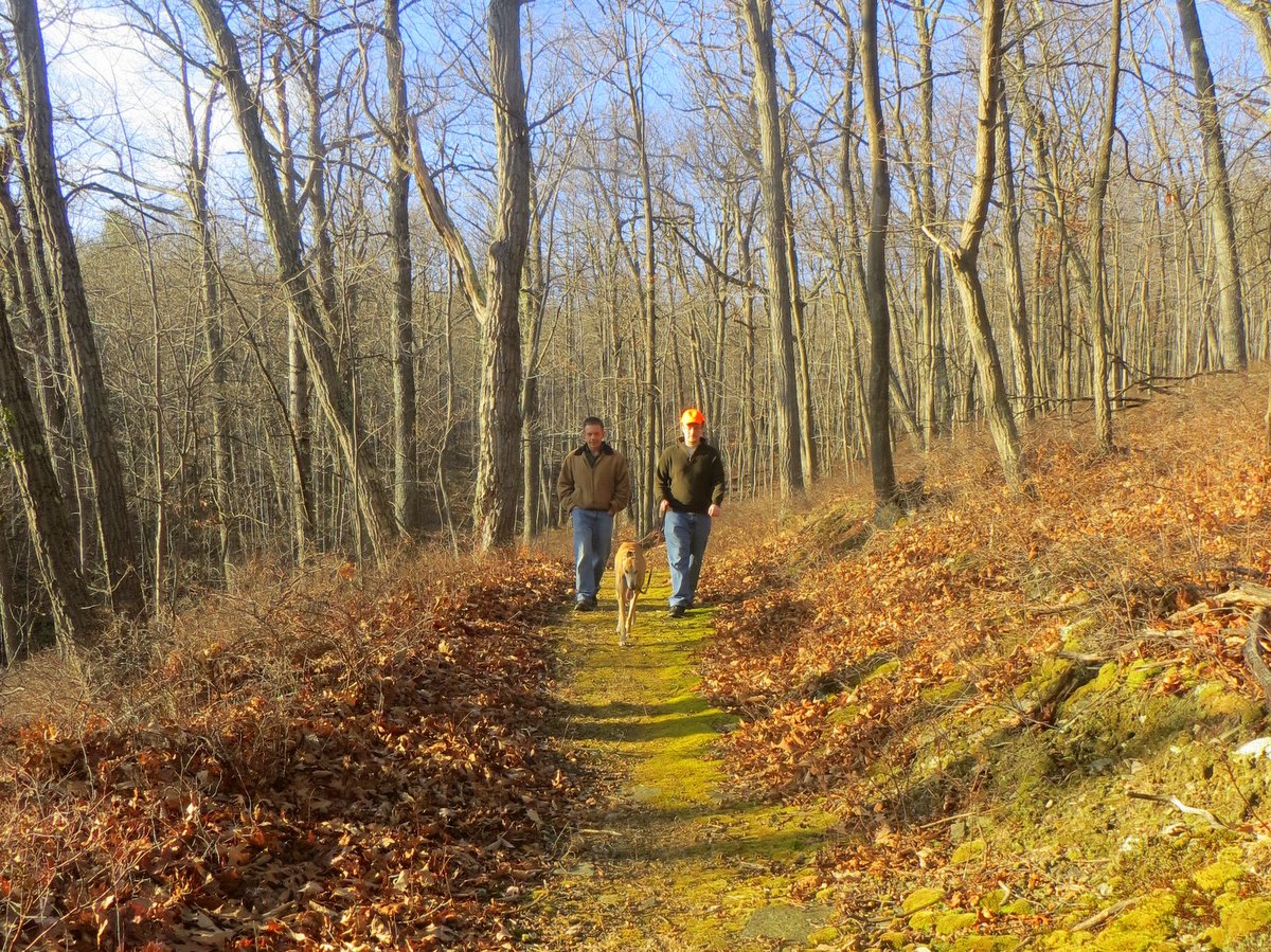
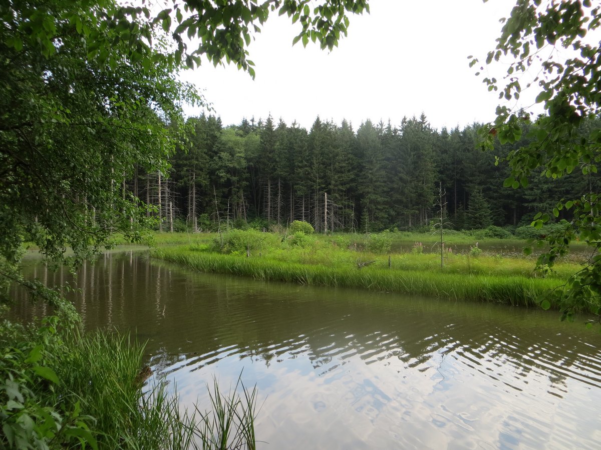
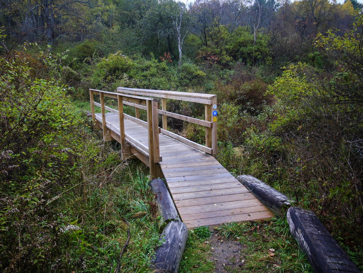
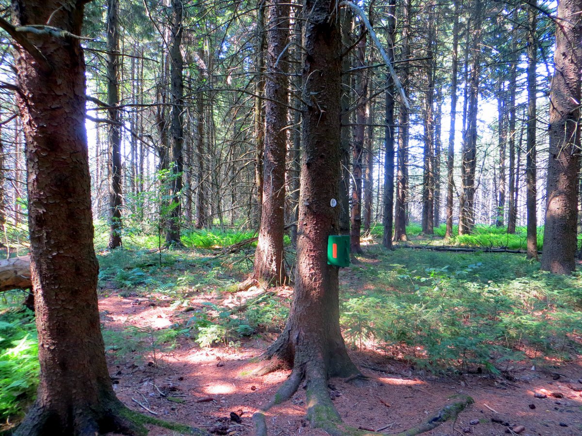
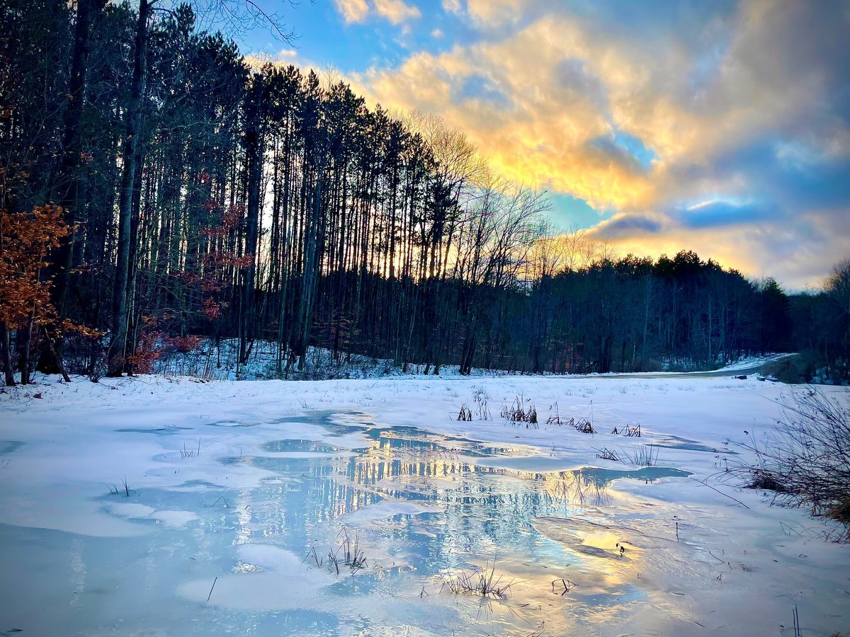
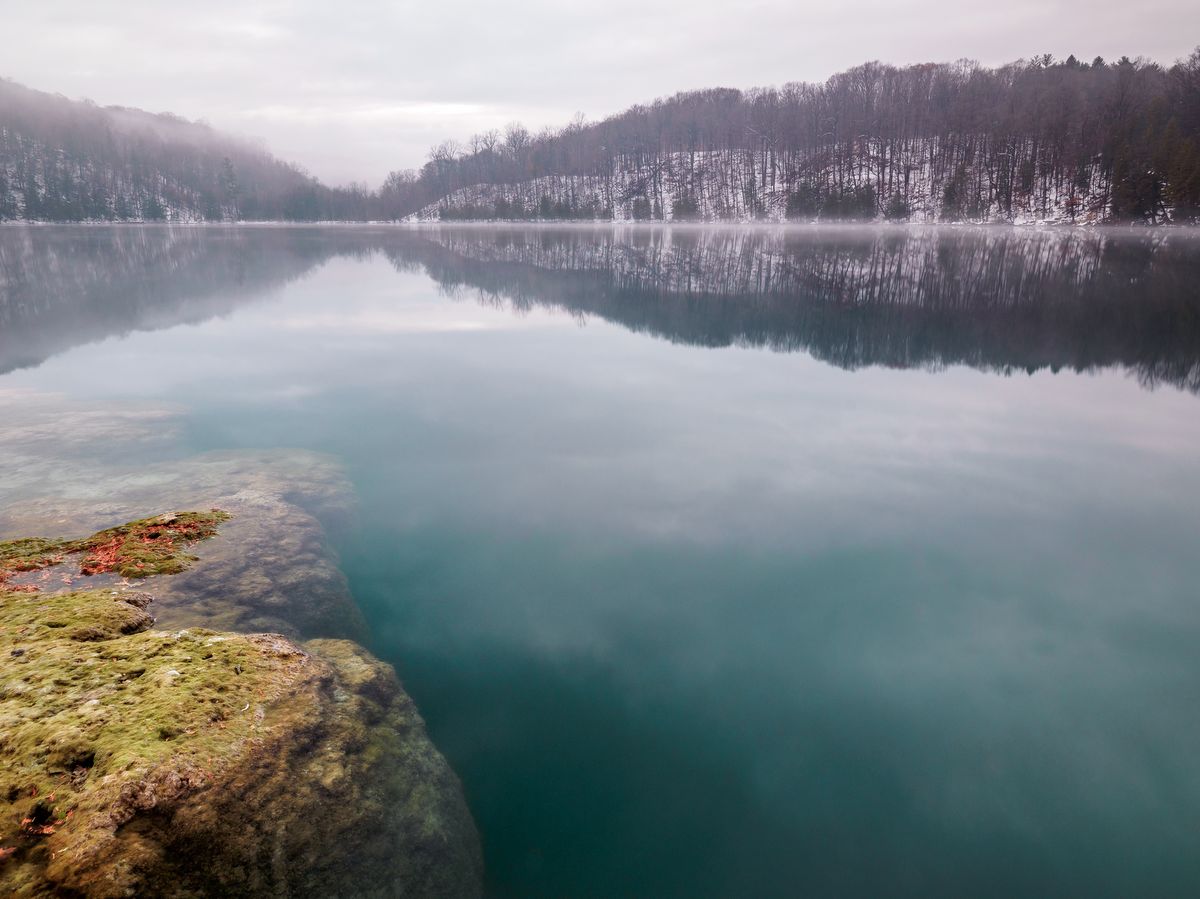
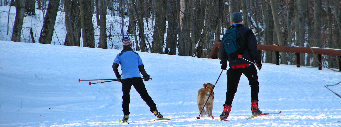
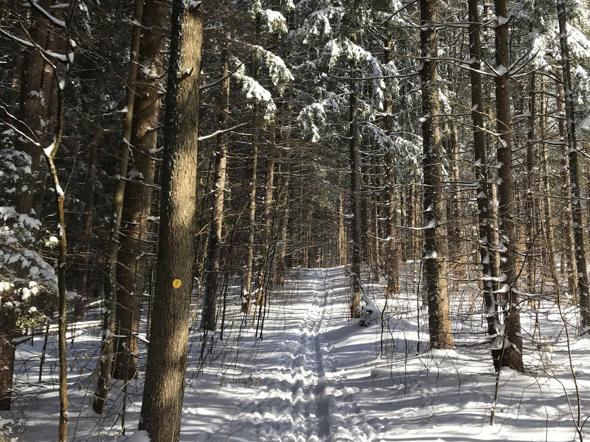
Birdseye Hollow State Forest
This 3,446-acre state forest in Bath has two day-use areas, two paddling opportunities—Sanford Lake and Birdseye Hollow Pond– and nearly 11 miles along the Finger Lakes Trail. Pavilions and picnic benches dot both of the day-use areas with other amenities to boot. The 18-acre Sanford Lake has an easily accessible boat launch, while Birdseye Hollow Pond has a fishing pier and direct access to the trail network.
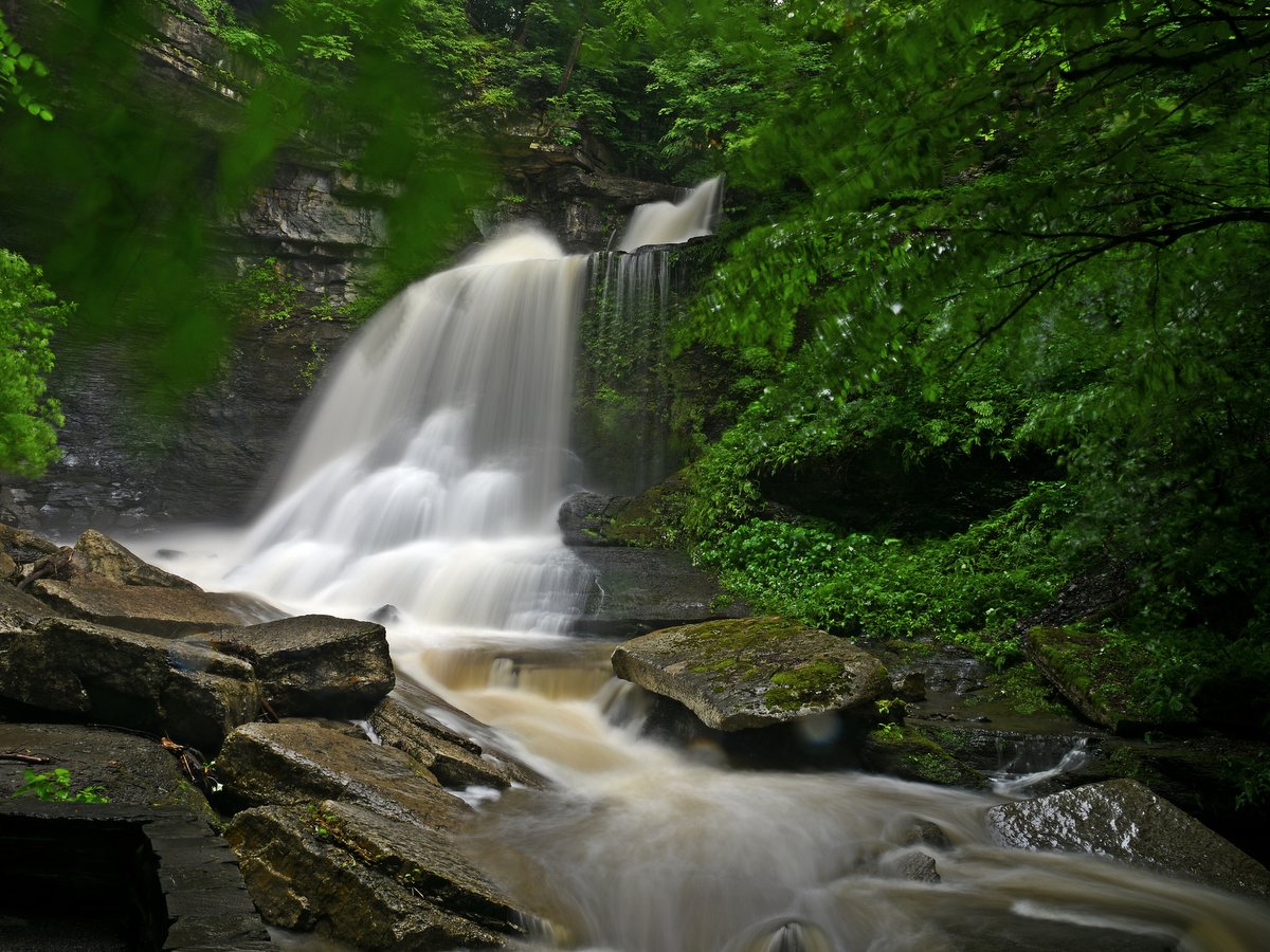
Buttermilk Falls State Park
Located at the southern edge of Ithaca, this popular state park has an upper and lower section, both offering plenty of recreational opportunities. At the base of Buttermilk Falls is a verdant lawn, the perfect setting for a picnic with a gorgeous waterfall in view. The upper section of the park includes 1.5 miles (one way) of hiking trails, picnic areas with grills, and Lake Treman.
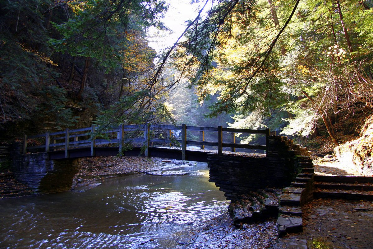
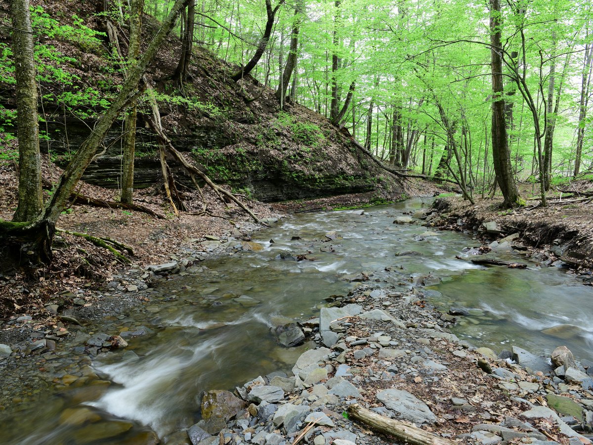
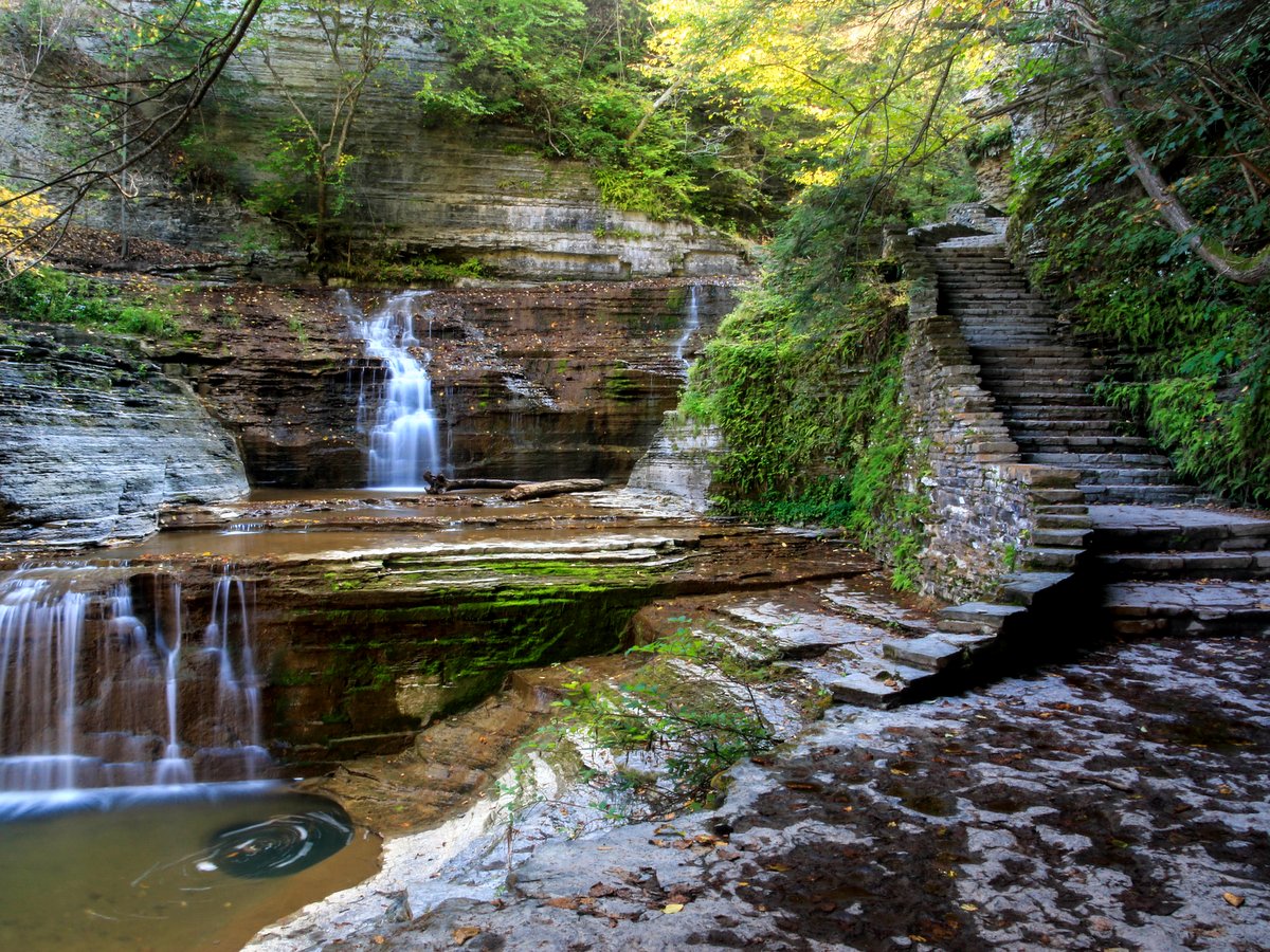
Fillmore Glen State Park
This beautiful park in the quiet village of Moravia features campgrounds, a swimming area, and stunning waterfalls. Stone-walled paths, numerous bridges that crisscross the oddly named Dry Creek, and stone staircases are thoughtfully blended with the stunning natural setting of this deep gorge. The whole family can enjoy these natural marvels with plenty of picnic tables and pavilion spaces to spend a day in the park.
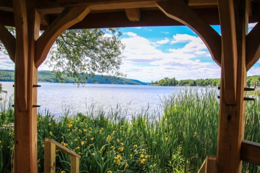
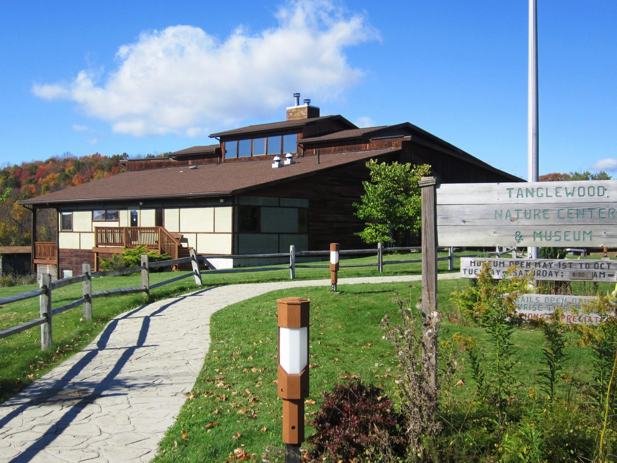
Finger Lakes Museum
Nestled in the quiet hamlet of Branchport, sits the Finger Lakes Museum which offers public access to Keuka Lake via Sugar Creek. The museum’s 16-acre Townsend-Grady Wildlife Preserve, located at the north end of the west branch of the lake, has a series of maintained trails and a boardwalk with a beautiful octagon pavilion. Here, you can enjoy a picnic lunch by accessing the pavilion on foot from the hiking trail, or by canoe or kayak, tying off at the small craft dock on the lake.
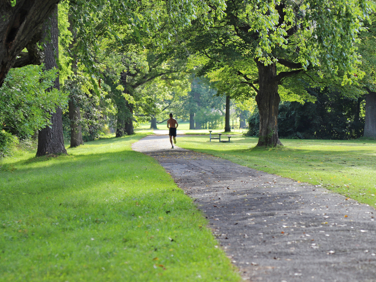
Green Lakes State Park
There are several picnic areas and pavilions to choose from at this unique state park in Fayetteville, including one overlooking the sandy swimming area. With nearly 20 miles of trails, old-growth forests, two pristine lakes, and boat rentals, there are numerous ways to get outside and enjoy a full day at Green Lakes State Park.
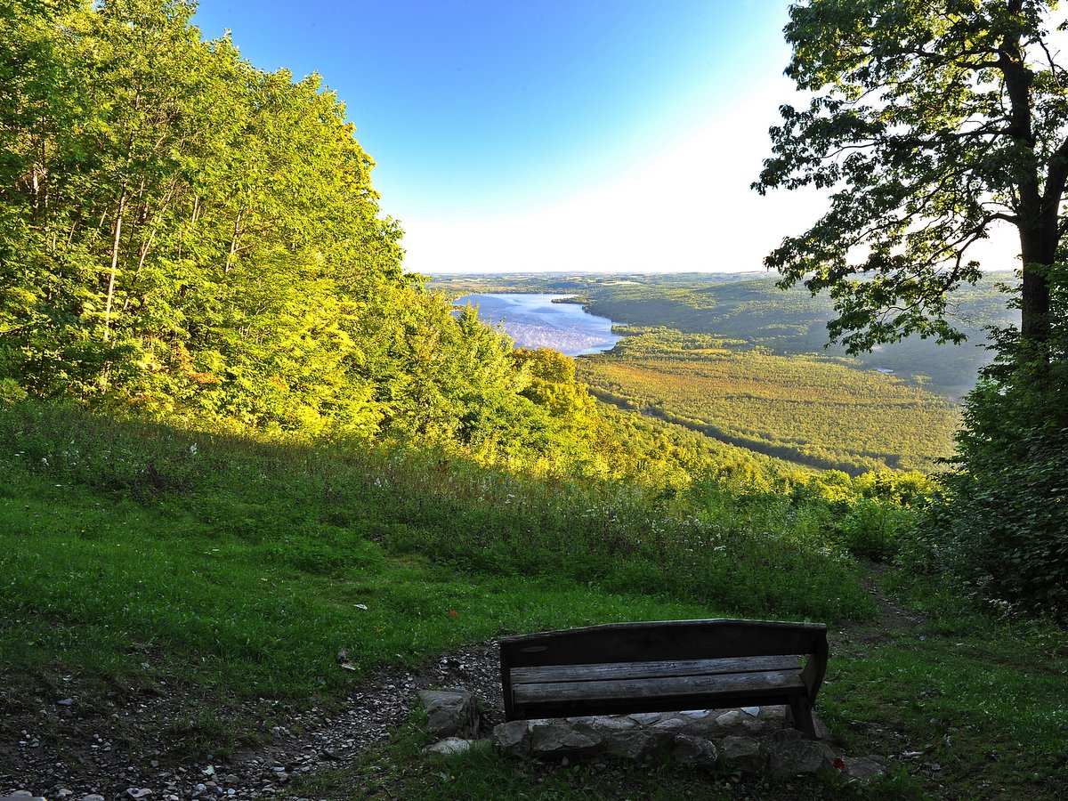
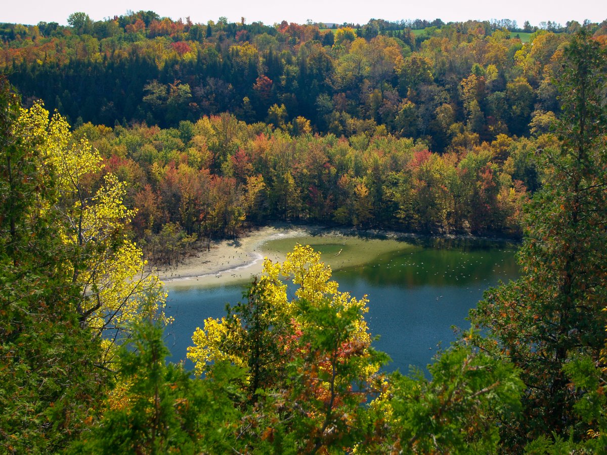
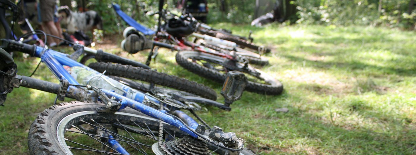
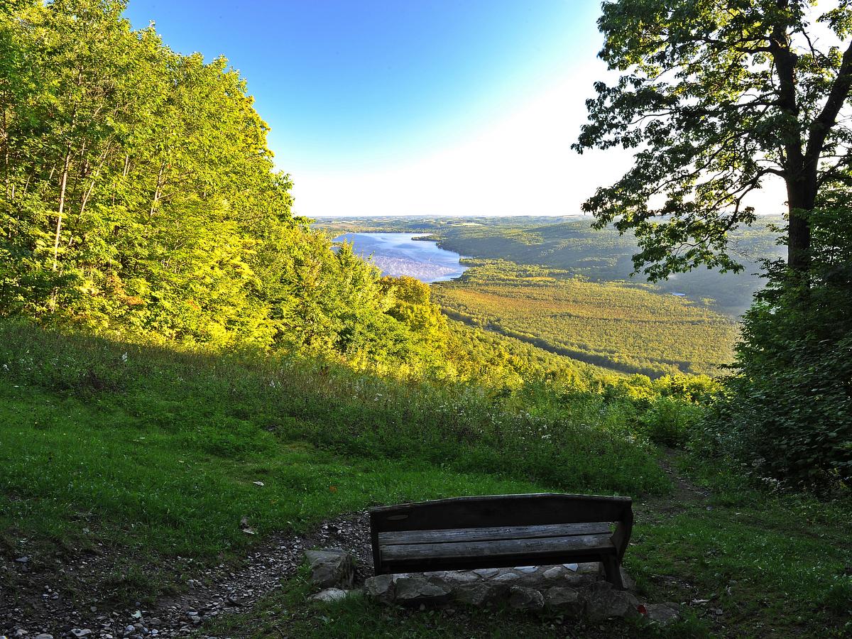
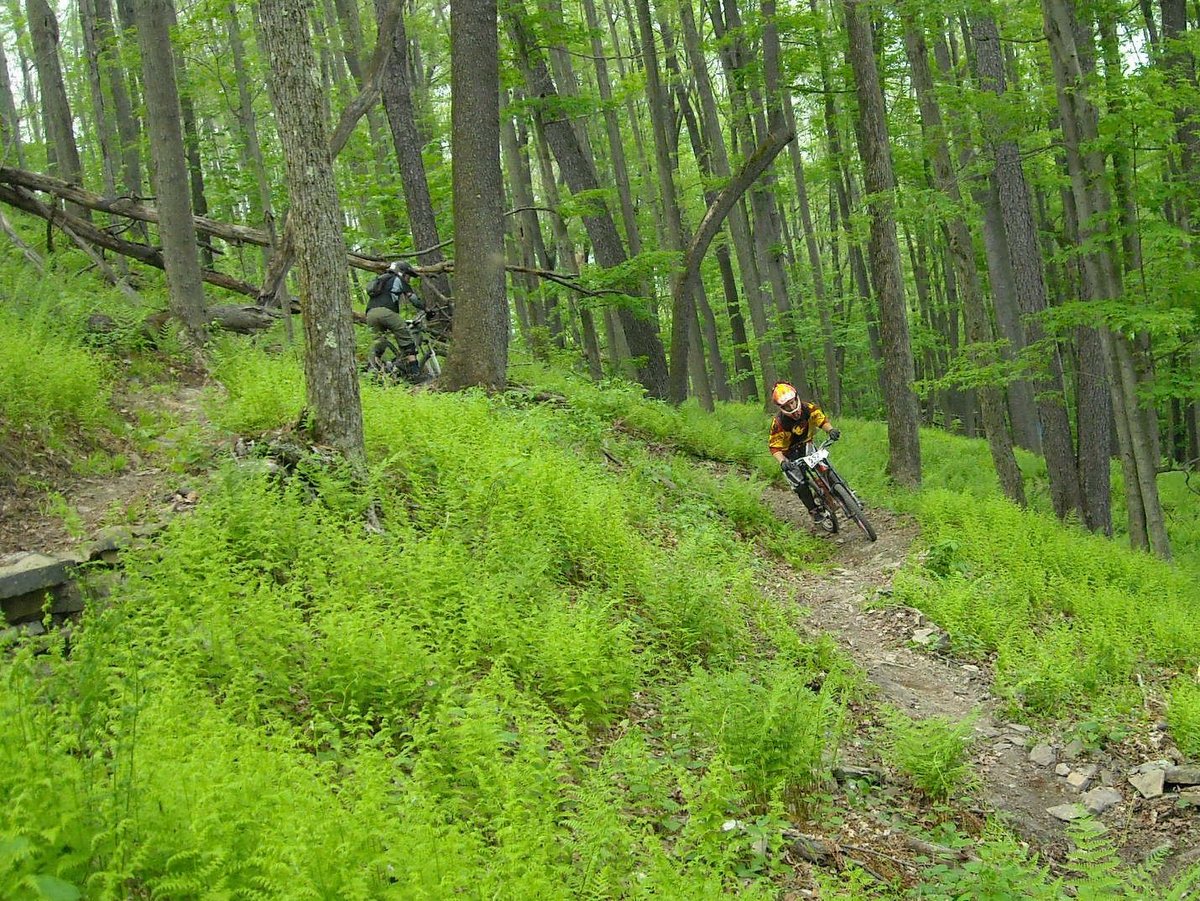
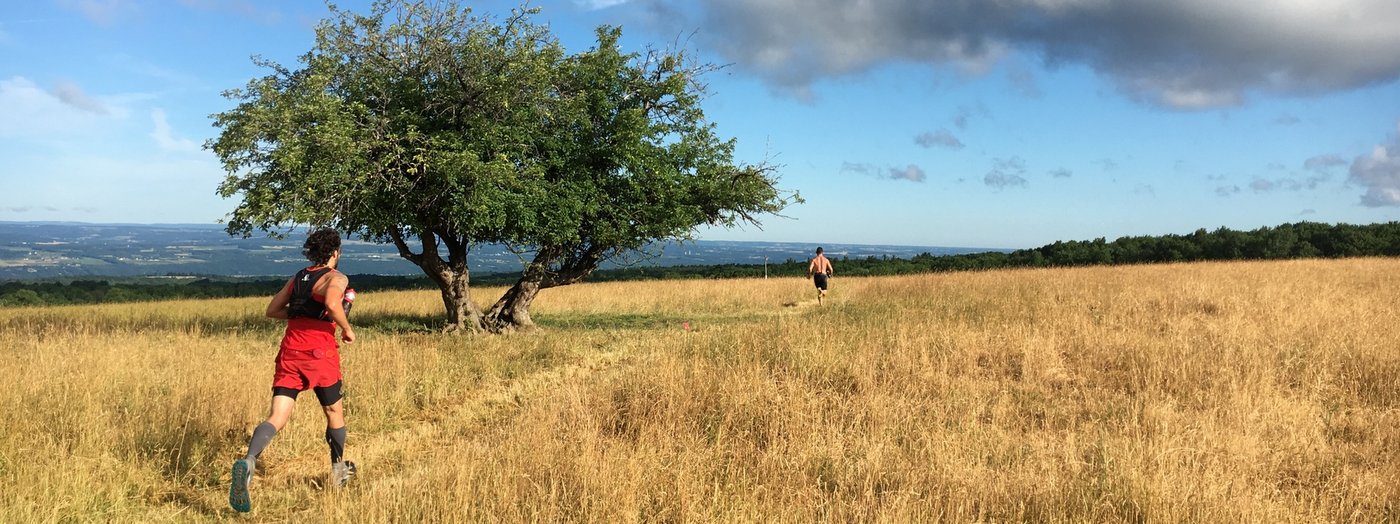
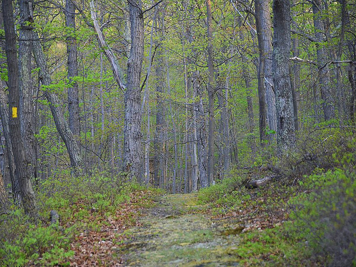
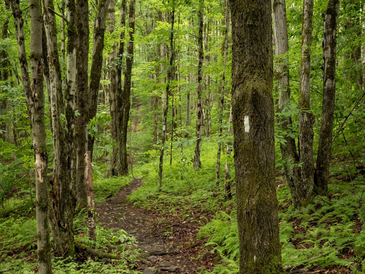
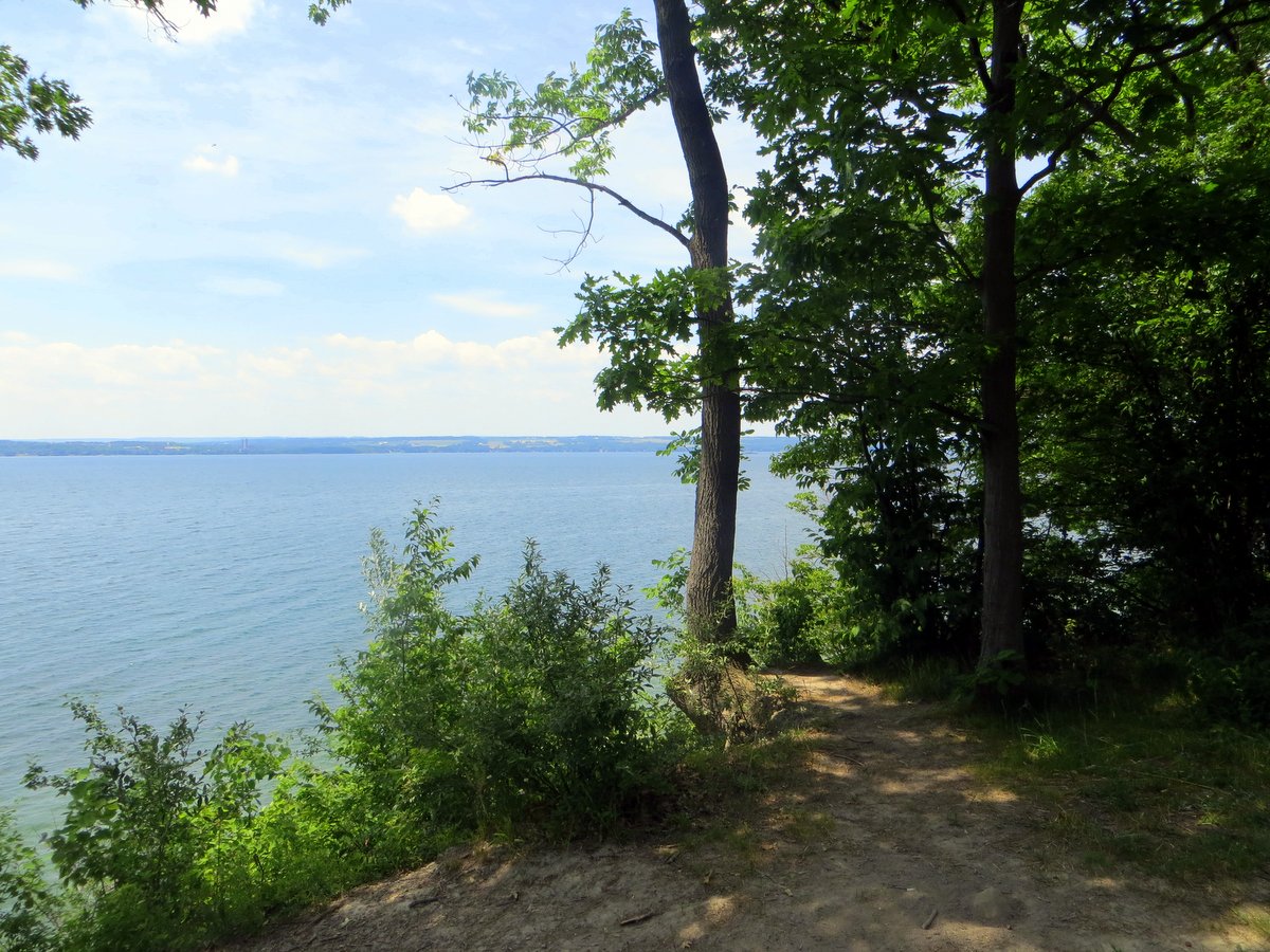
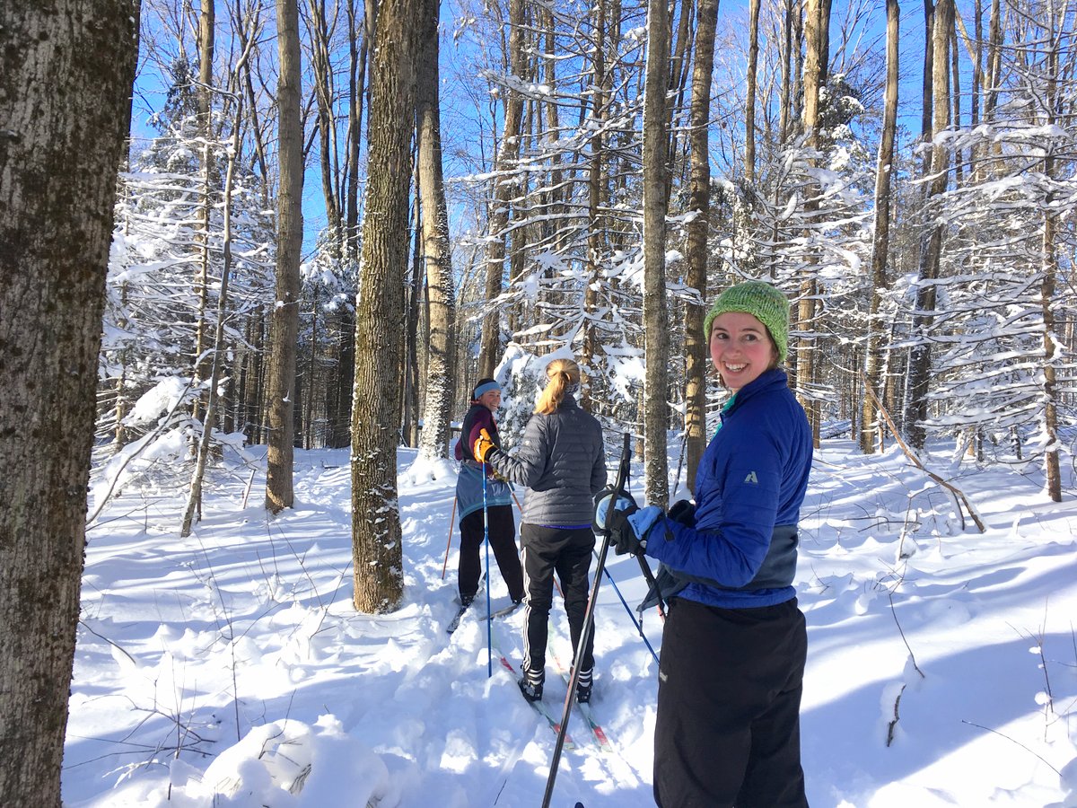
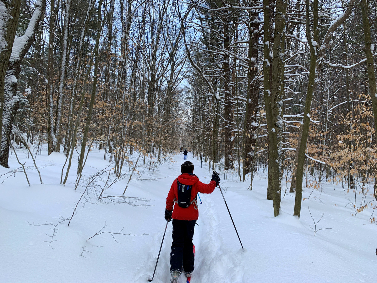
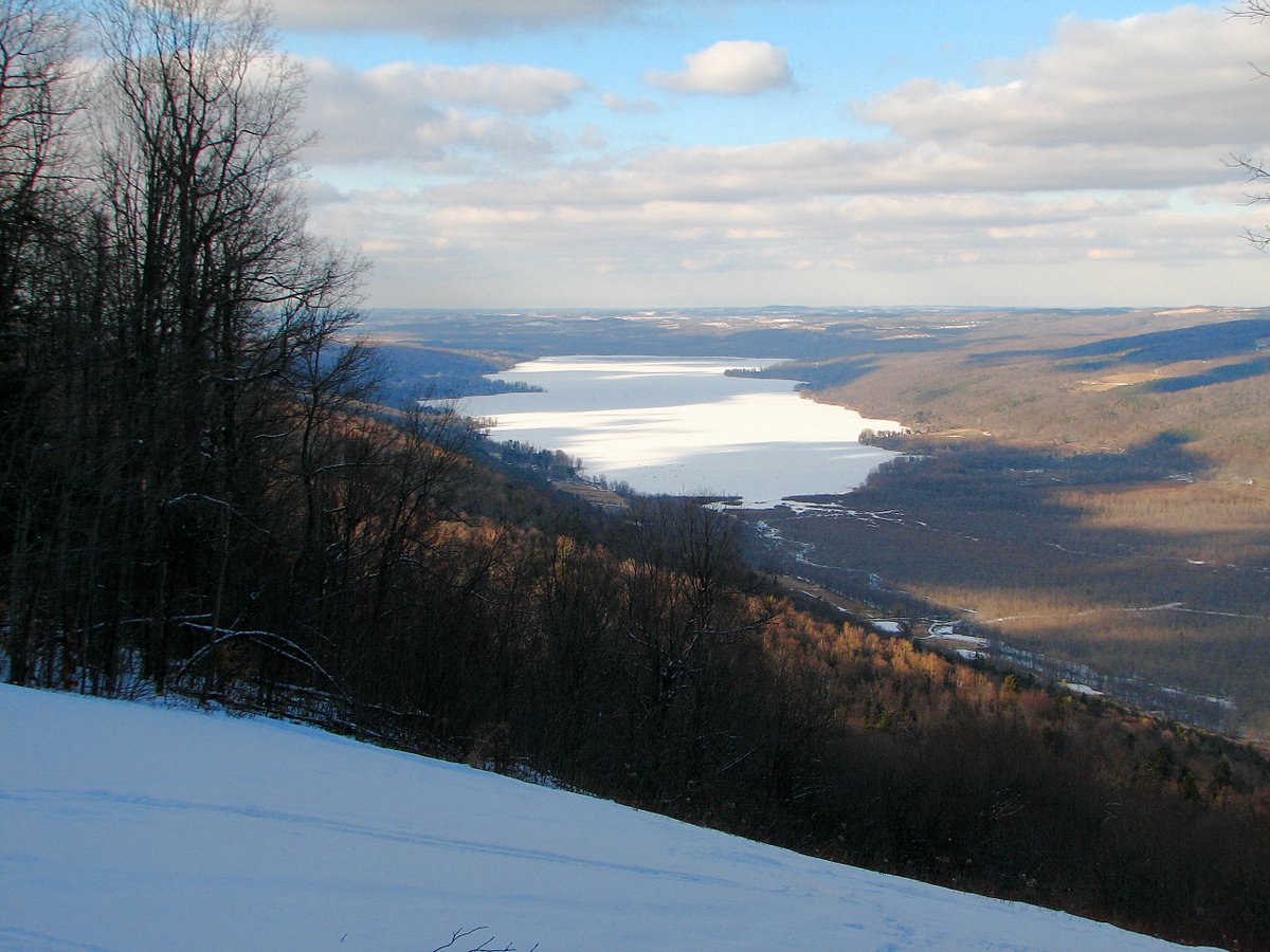
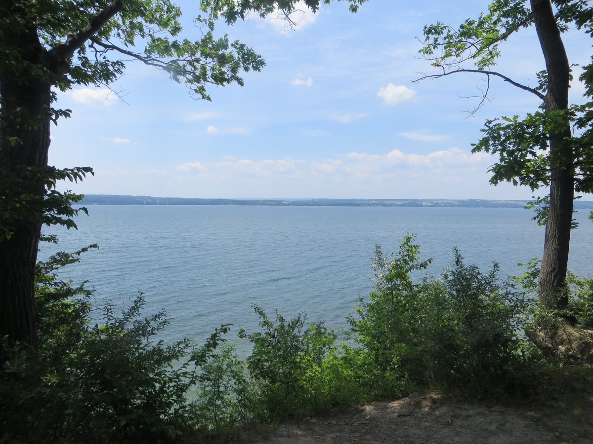
Harriet Hollister Spencer Recreation Area
With picturesque panoramic views of Honeoye Lake and its steep-sided valley, Harriet Hollister offers a bit more solitude than the region’s lively state parks. A popular spot for Rochester-area recreationists, the recreation area offers over 20 miles of trails for hiking and biking. Visitors can enjoy a small picnic area with tables and benches located in the main park, or a bench on the Overlook Trail.
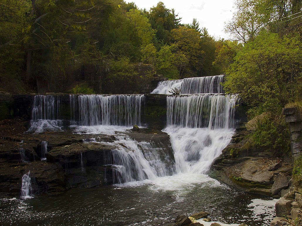
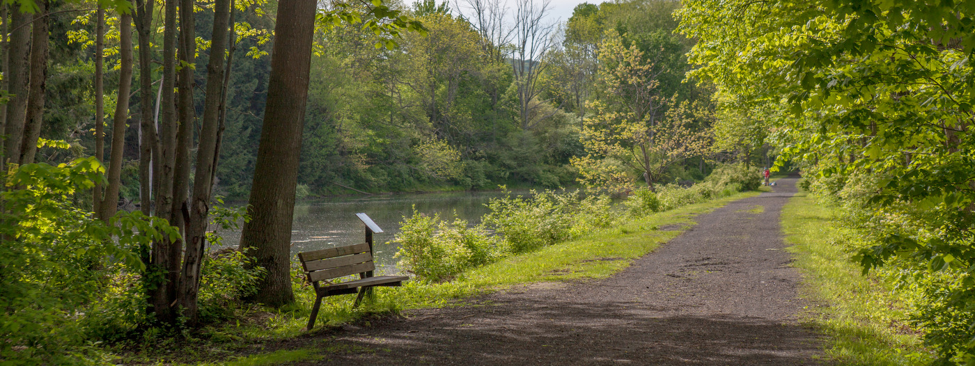
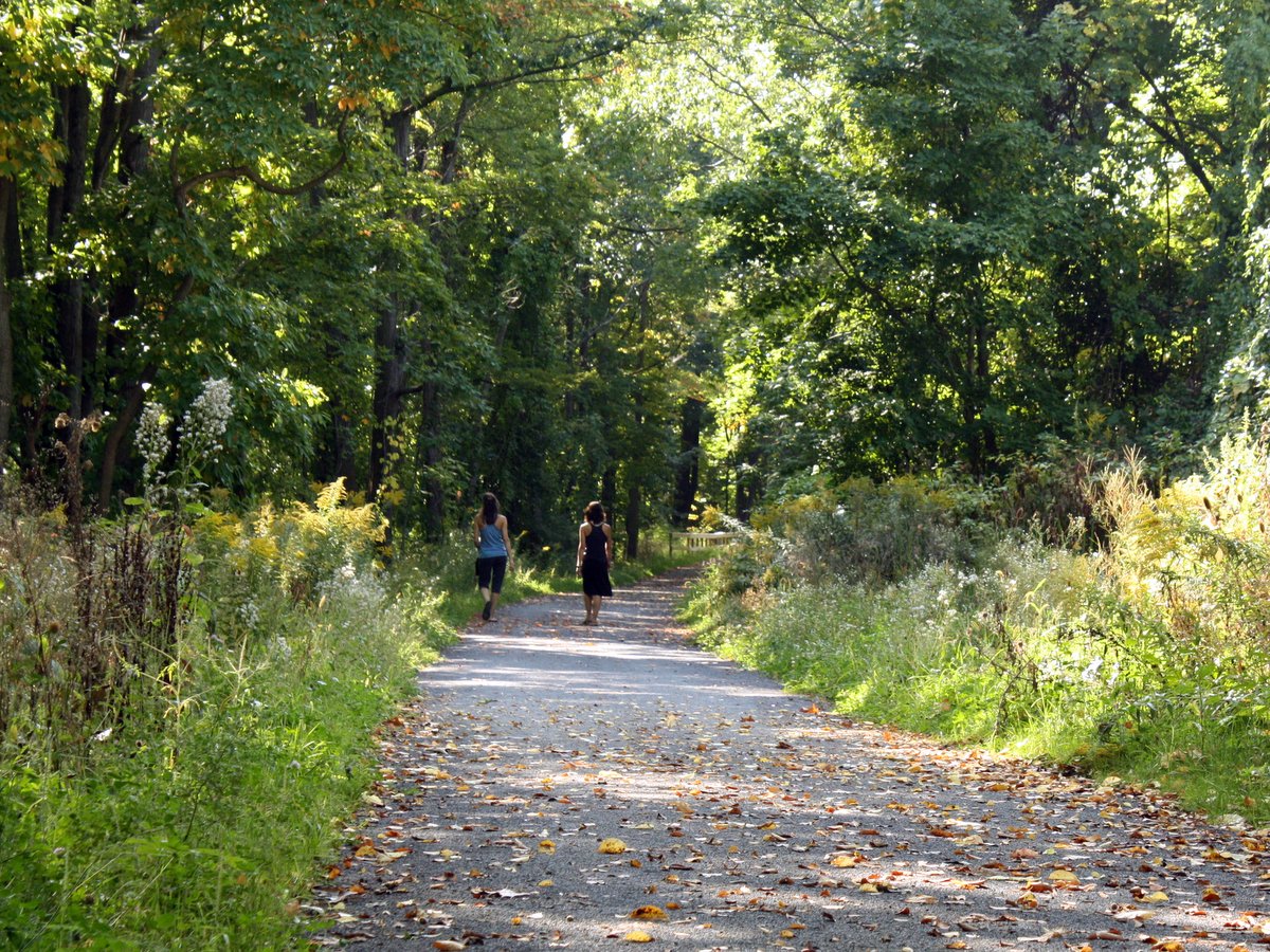
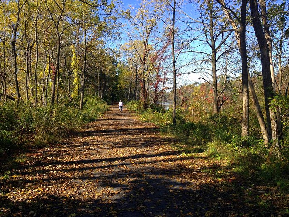
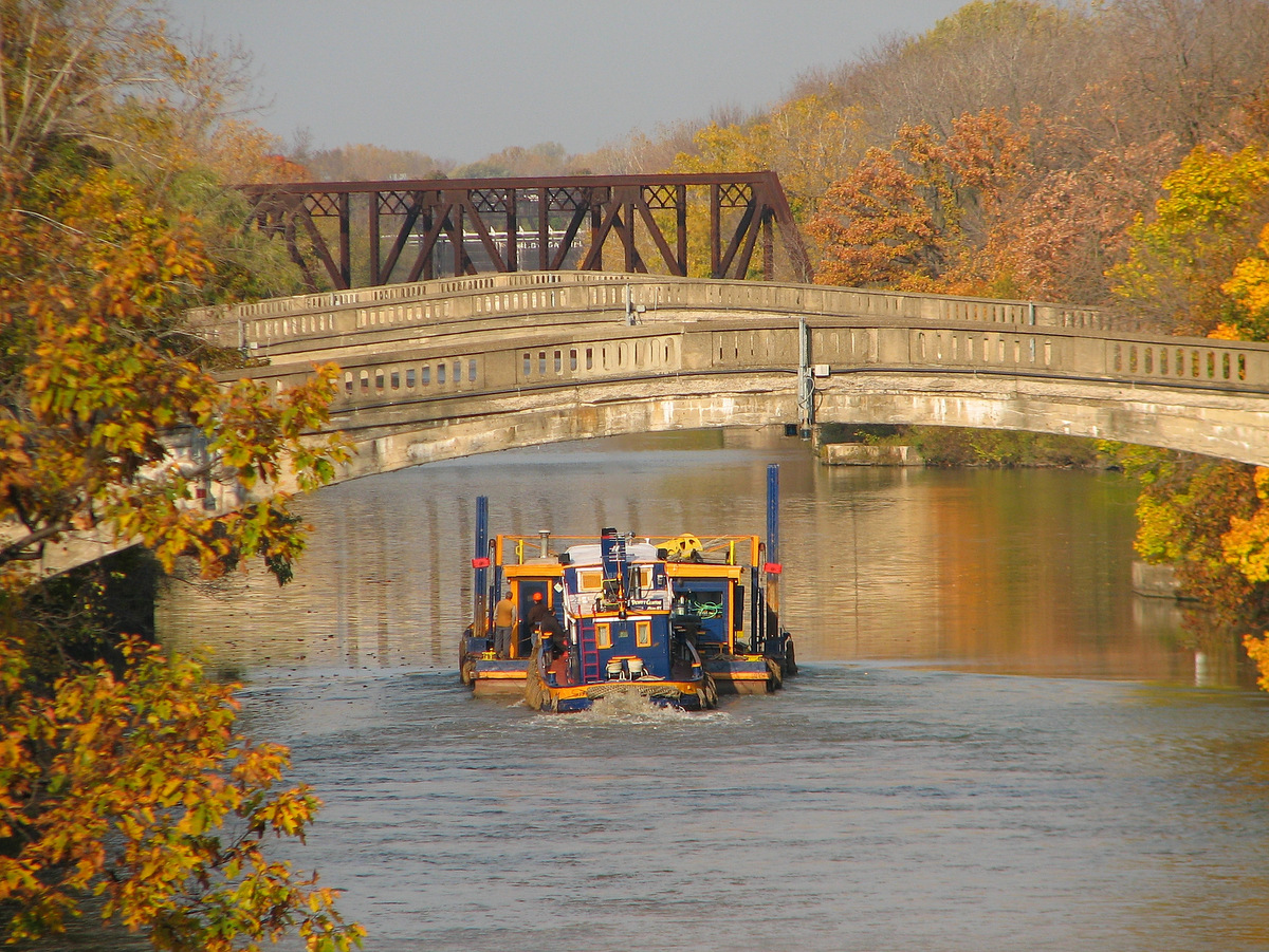
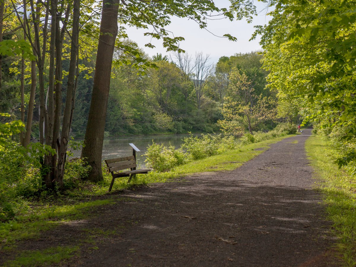
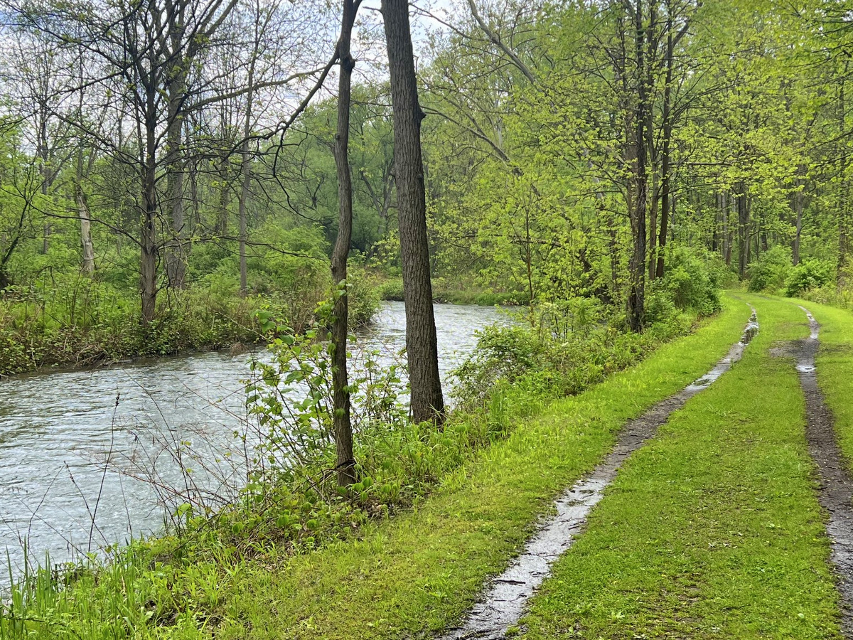
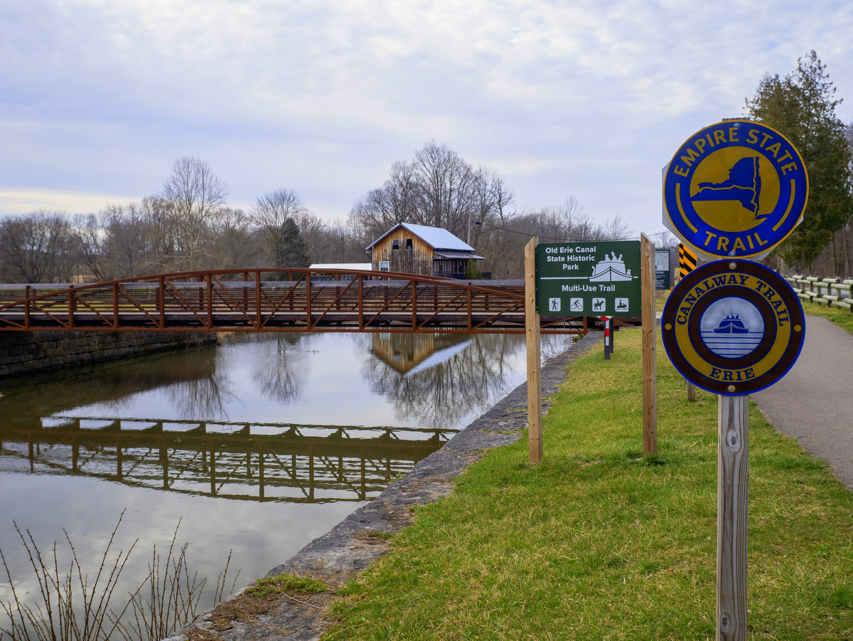
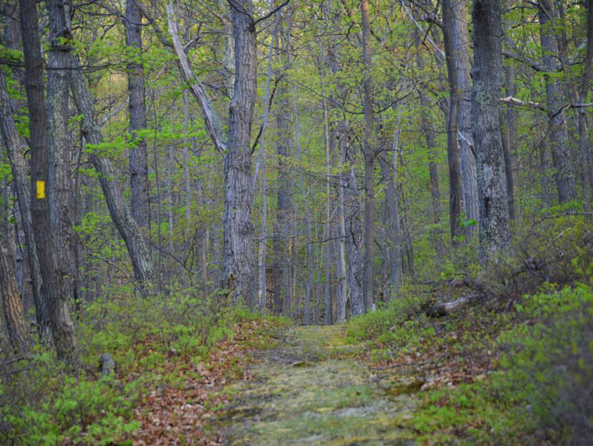
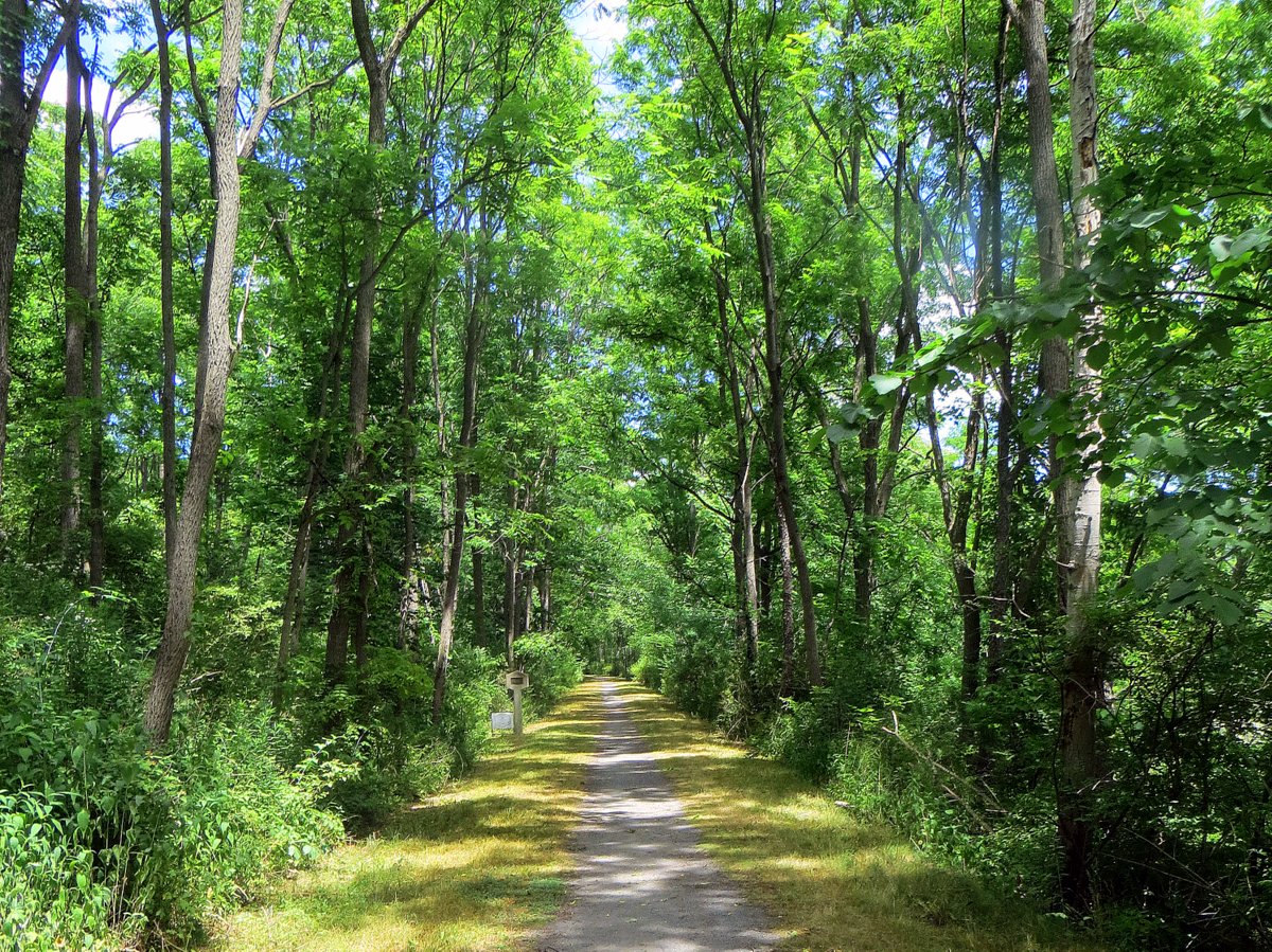
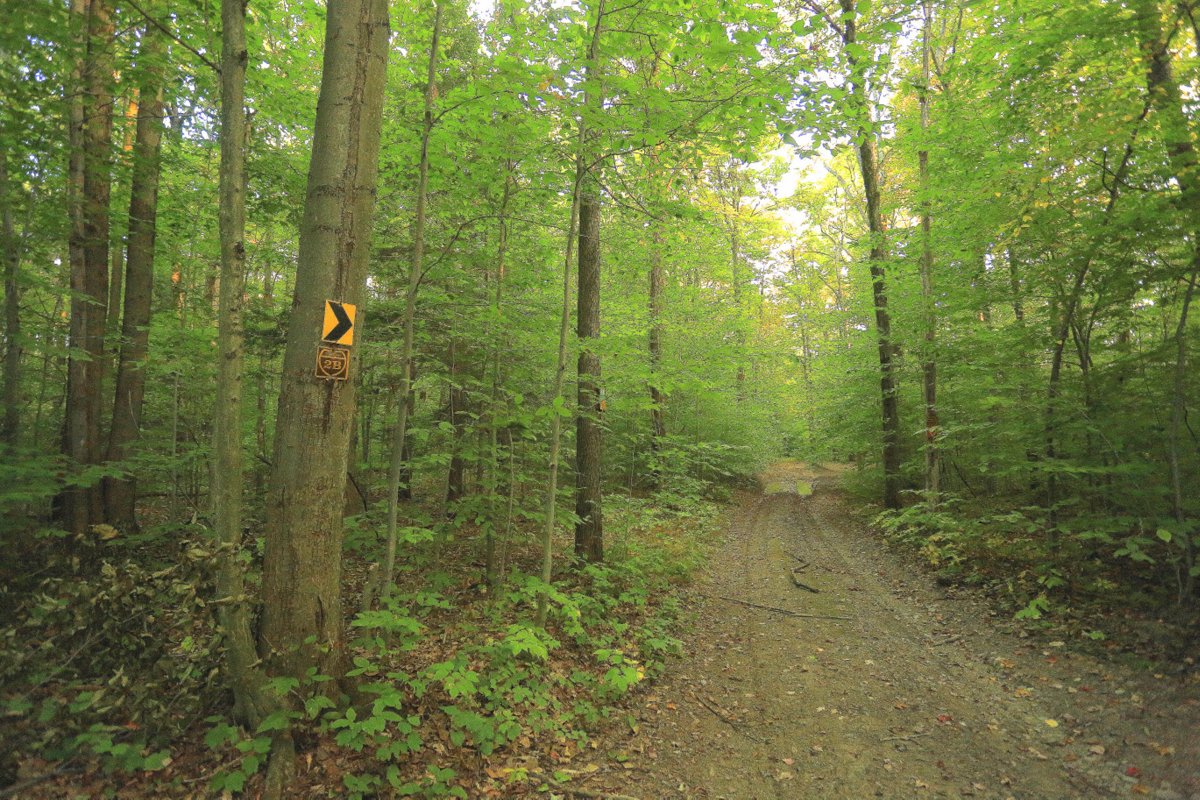
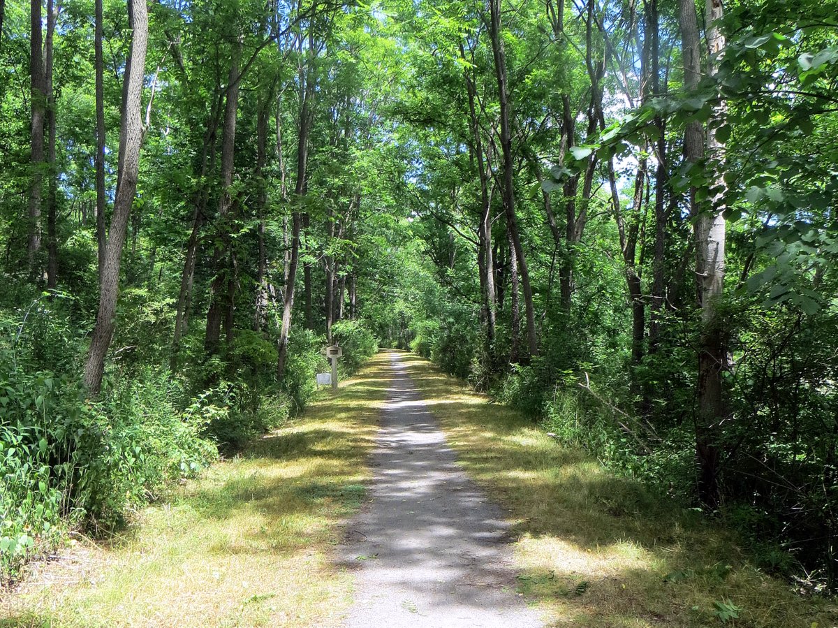
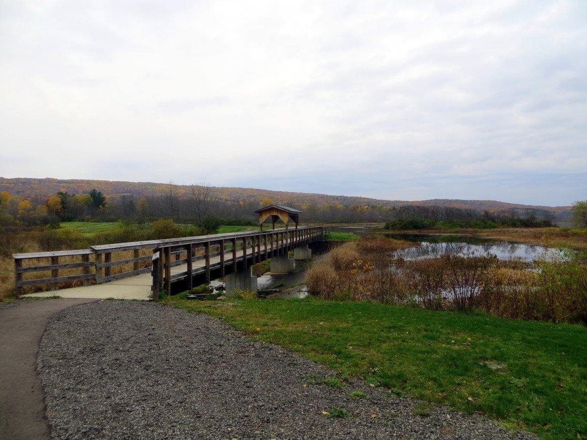
Keuka Outlet Trail
Considered one of the best multiuse trails in the region, this 6.8-mile pathway stretches from Penn Yan to Dresden and follows a winding stream with two impressive waterfalls. The most notable is Seneca Mill Falls located at about the midpoint of the trail near the pavilion at the Lion Bruce Hansen Memorial Park. Many people stop here to view the falls and picnic.
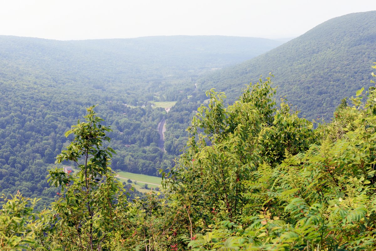
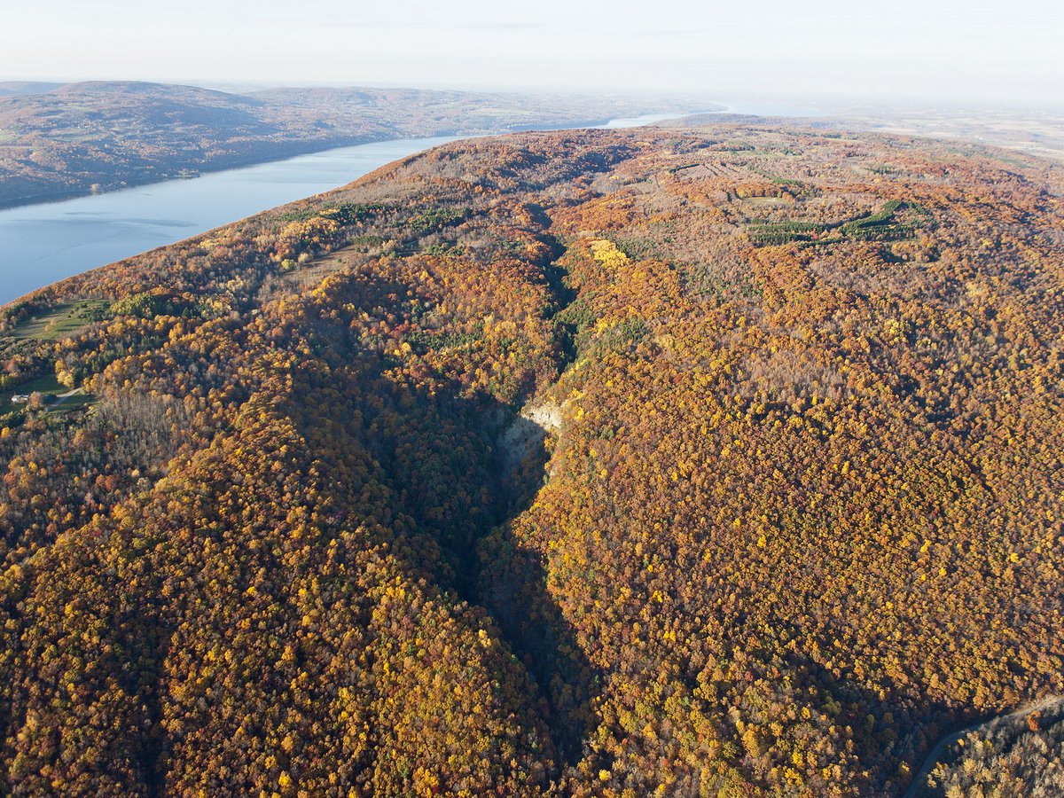
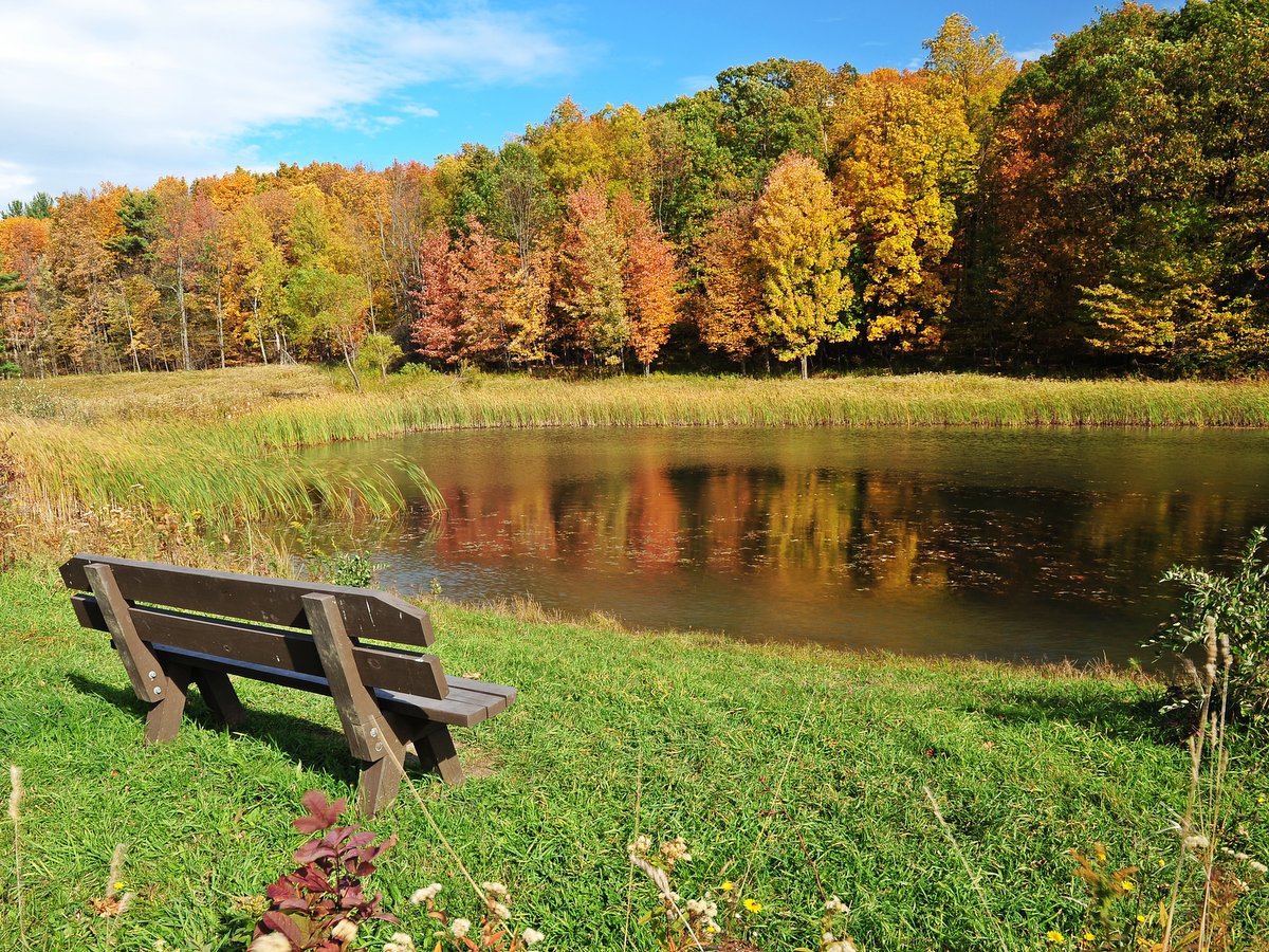
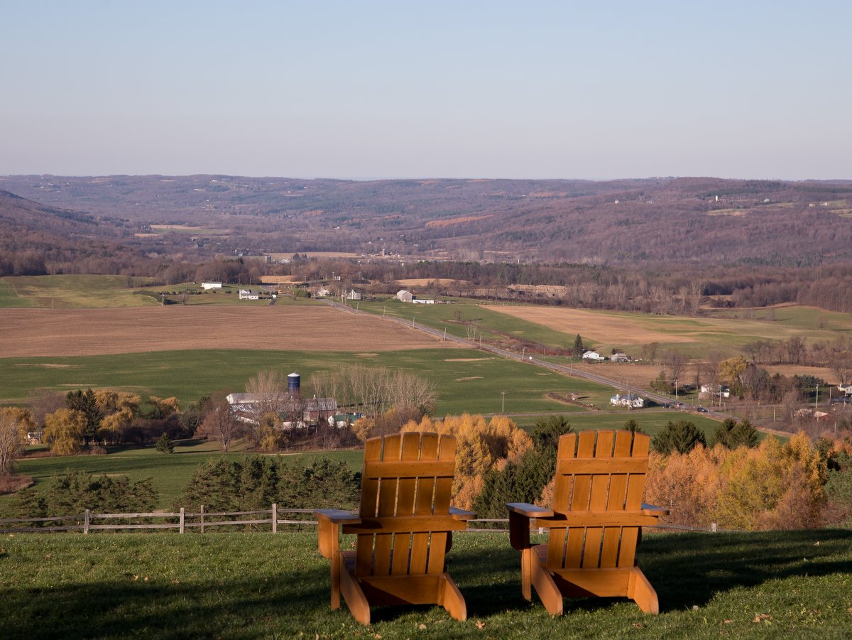
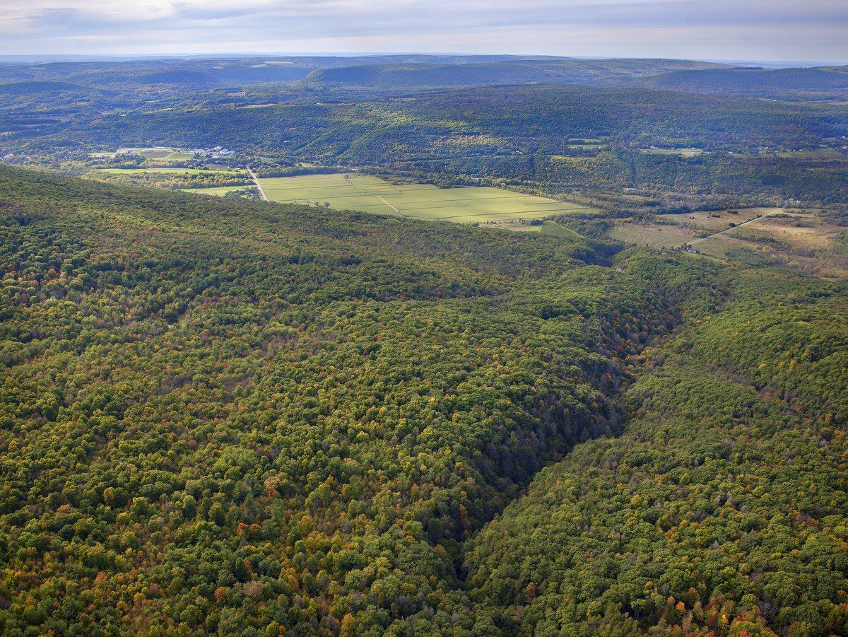
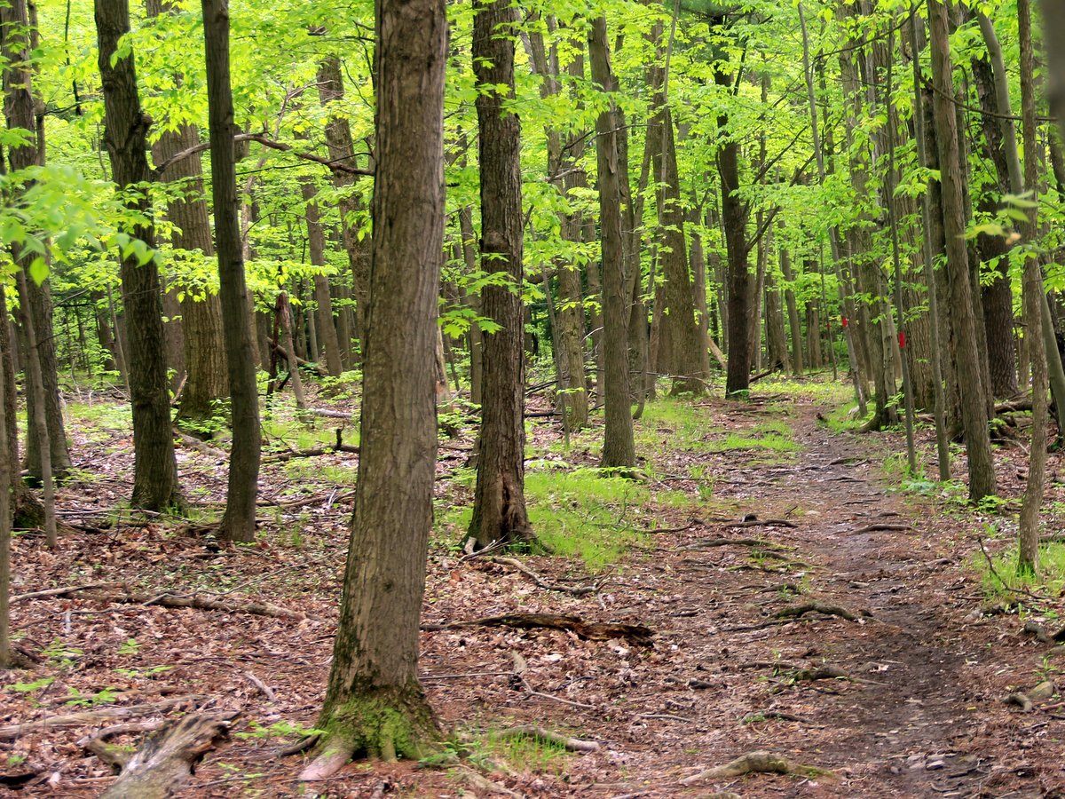
Ontario County Park at Gannett Hill
Enjoy a full day at this community park which features picnic areas with tables and grills, ball fields, restrooms, play structures, and pavilions. This 400-acre county park has a vast network of trails, over 10 miles in total, which weave through the woodland and over steepened hillsides of the Bristol Valley. The popular “Jump Off” overlook offers a stunning panoramic view of the western horizon.
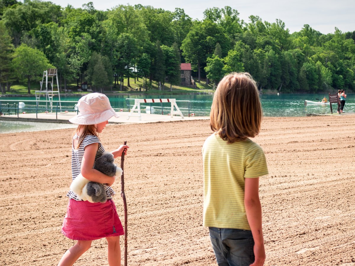
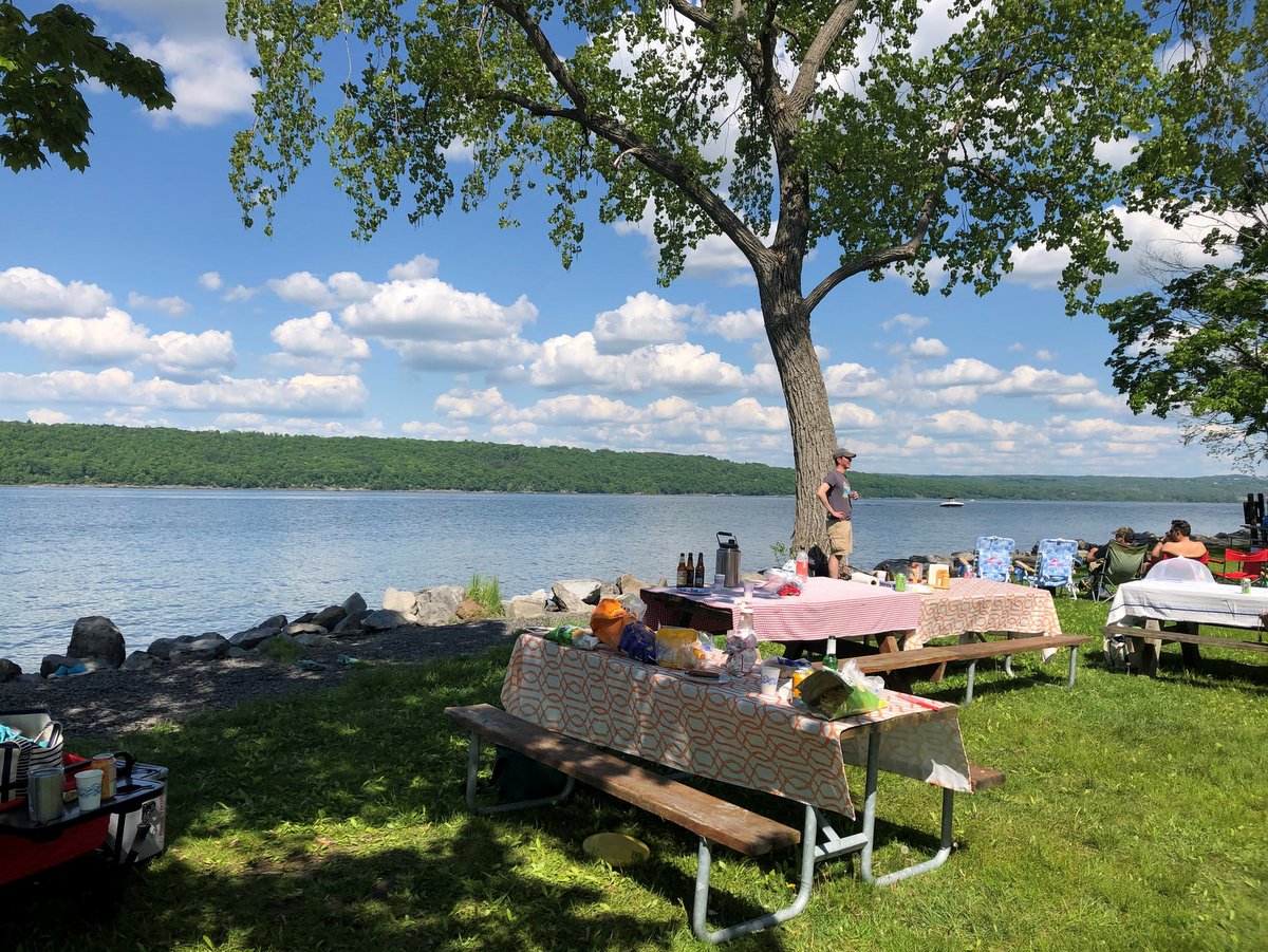
Sampson State Park
With a beautiful view of Seneca Lake at its center, Sampson State Park is ideal for enjoying a sunset barbecue or daytime picnic. With grills, restrooms, a swimming area, playgrounds, hiking trails, and more, there is something for everyone. And, as the former site of a World War II naval base and Korean War airfield, the site also holds particular appeal for military history enthusiasts.
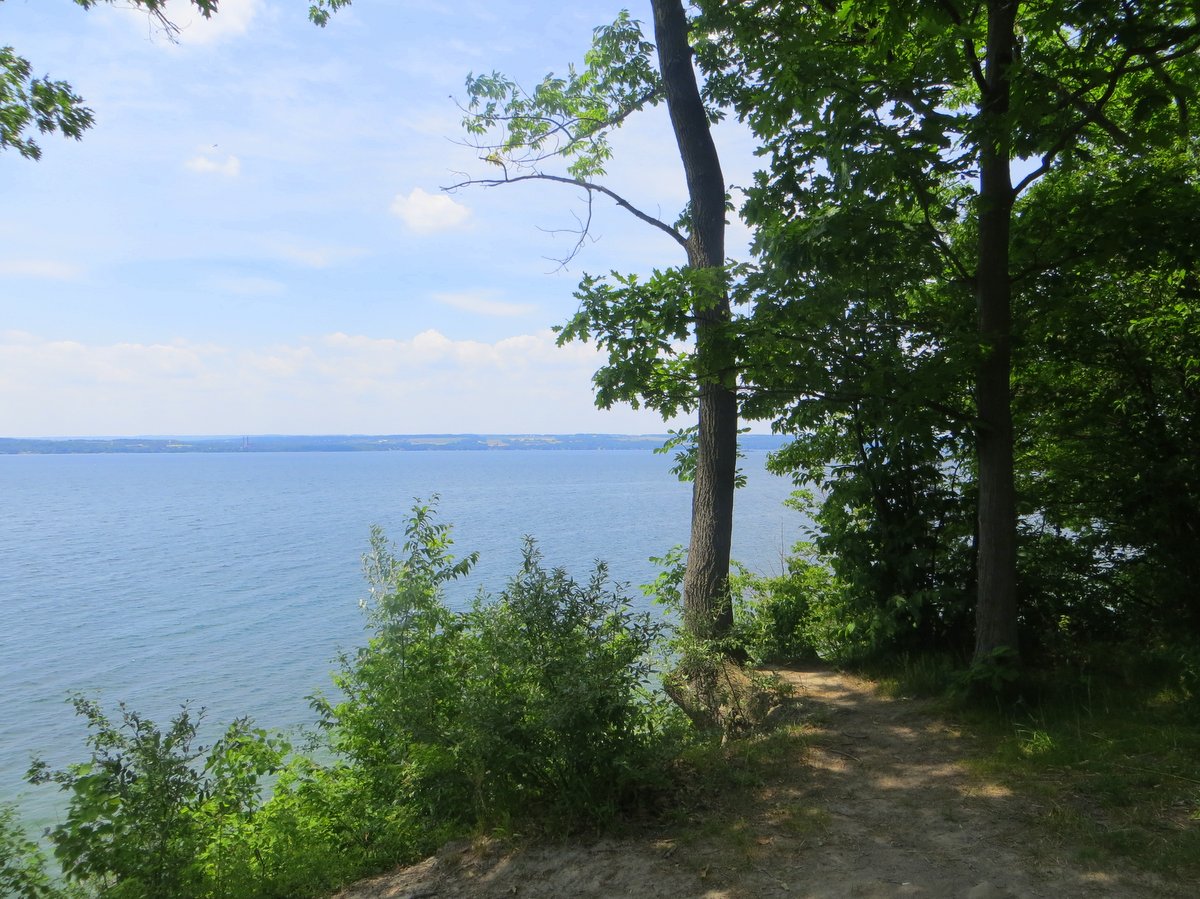
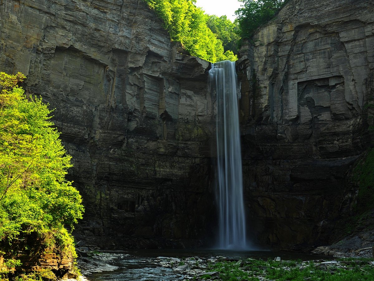
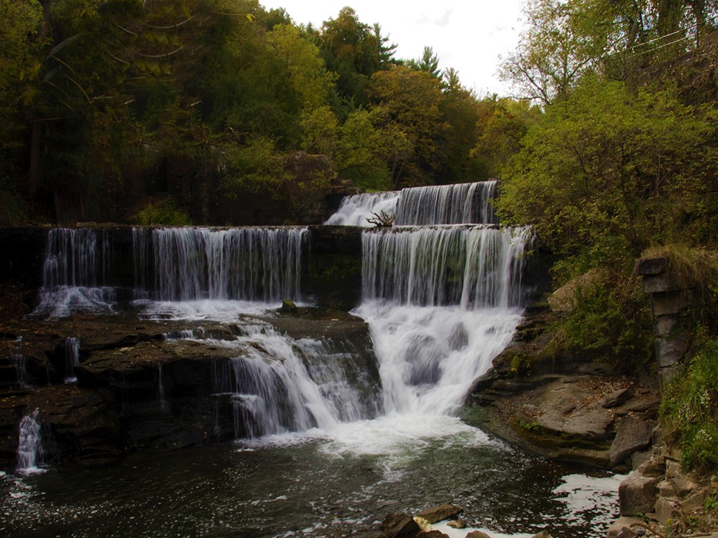
Taughannock Falls State Park
While the iconic falls that are the namesake of this impressive park are undoubtedly its most popular attraction, an abundance of picnic areas also draw visitors to celebrate its charm. Grills and picnic tables dot the lakeside portion of the park, offering warm breezes and gorgeous views of Cayuga Lake. Equipped with state park amenities such as a swimming area, playground, and restrooms, there is even a summer concert series to entertain folks of all ages (currently on hold due to the pandemic).
See the map!
Learn More
Conservation
Recreation
Share This