A Hike Through Ithaca’s Emerald Necklace by Finger Lakes Land Trust President Andy Zepp
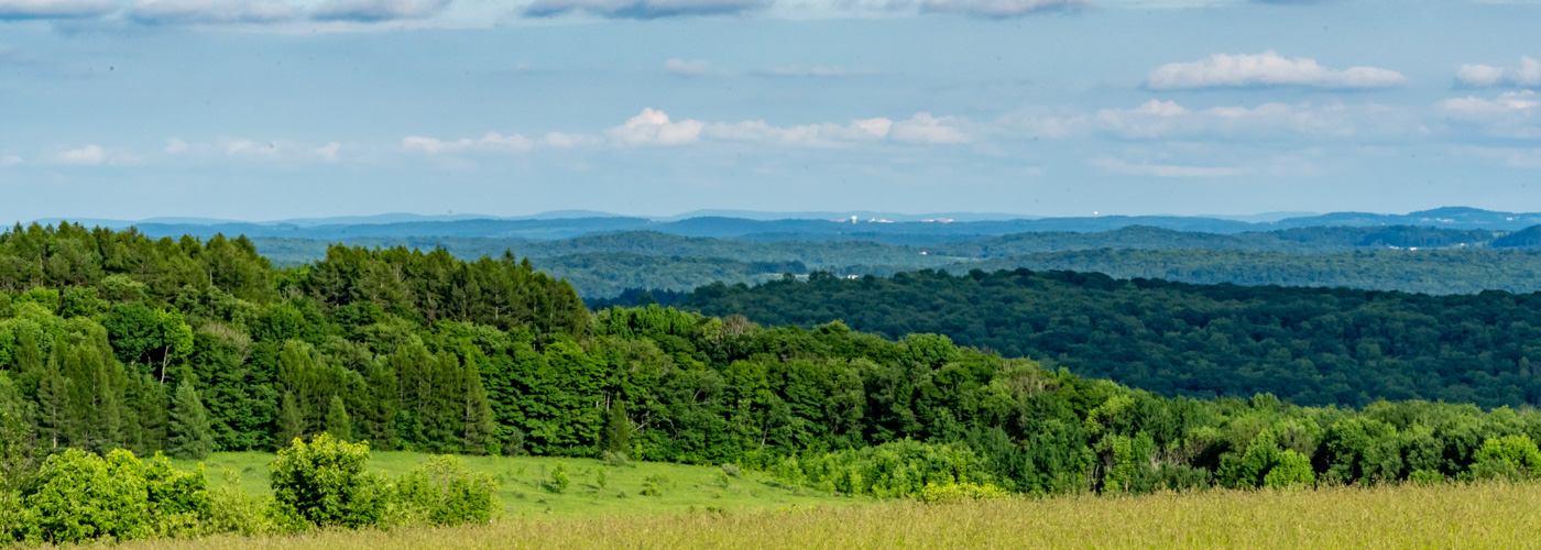
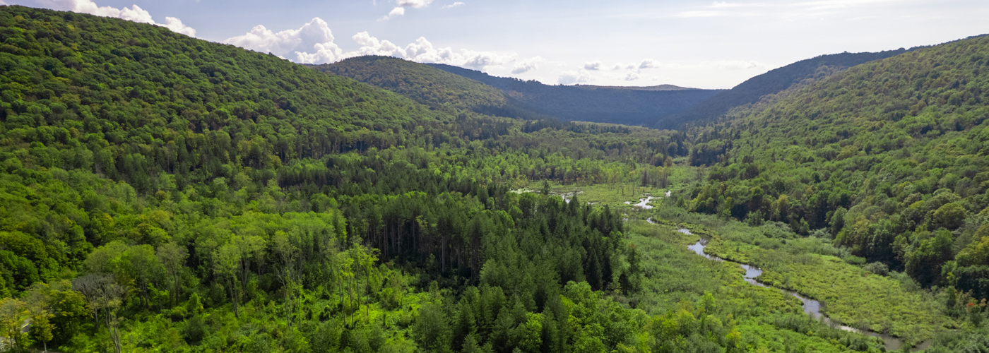
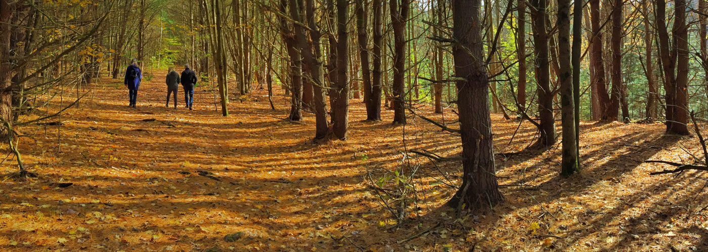
Ithaca’s Emerald Necklace is a swath of rolling hills and valleys that extend from the Finger Lakes National Forest in the west to Hammond Hill State Forest in the east. Though occasionally punctuated by hay fields that provide scenic vistas, much of the Necklace is former farmland that has returned to forest – a surprisingly wild home for an increasing diversity of wildlife, including bobcats and black bear.
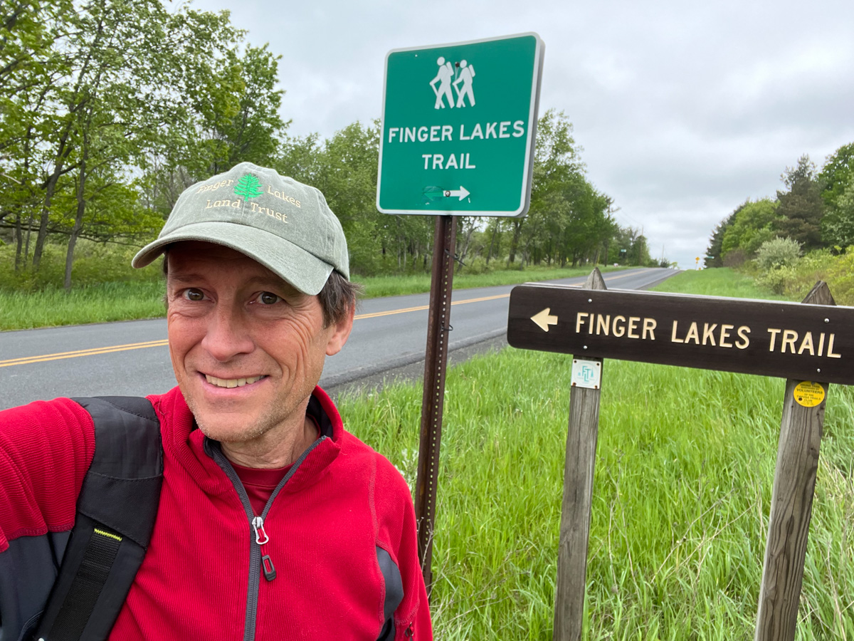
After completing a 78-mile traverse of this area twenty years ago via the Finger Lakes Trail, I was eager to mark the anniversary by doing the hike again – to see what had changed and what had remained the same.
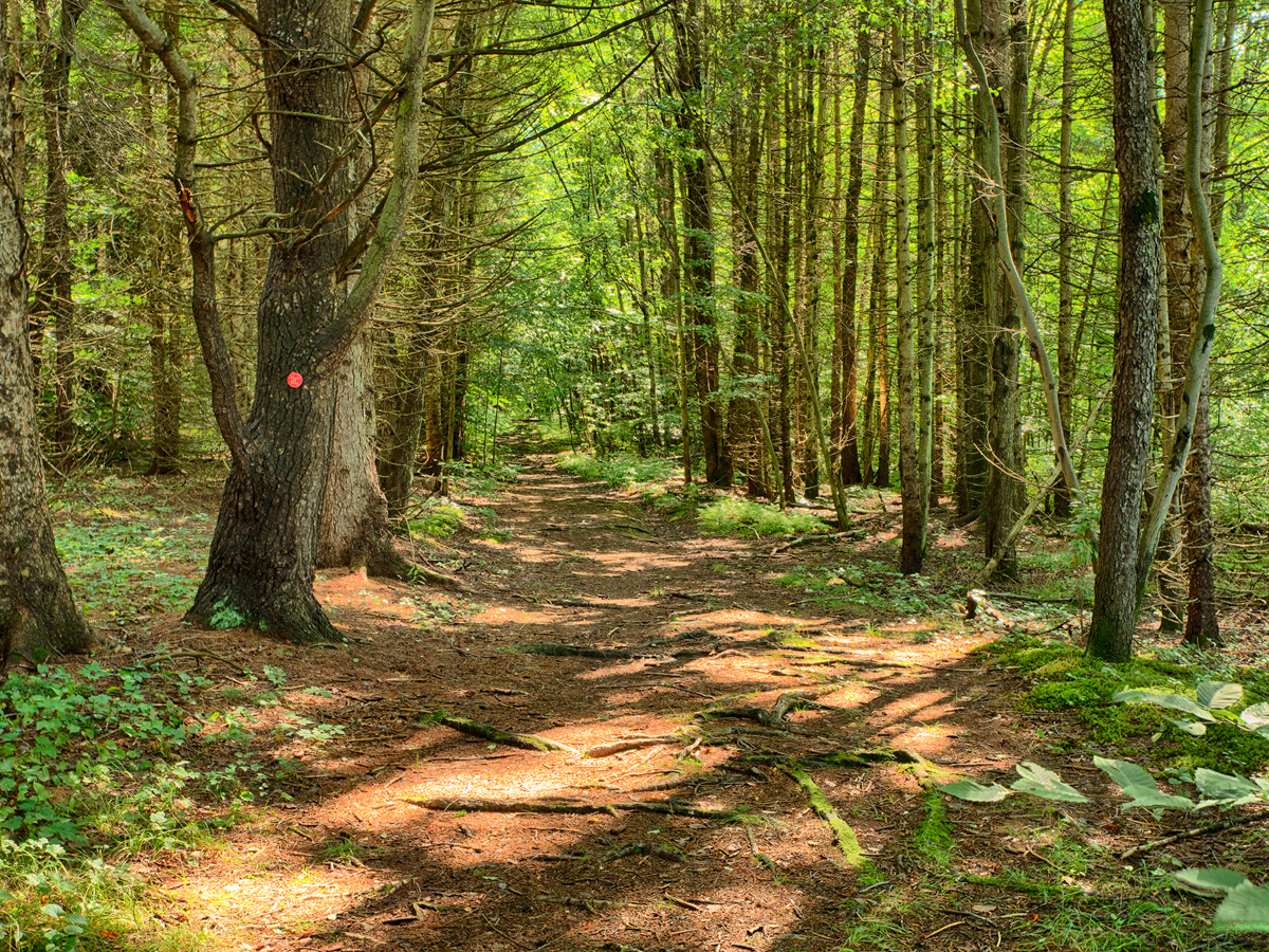
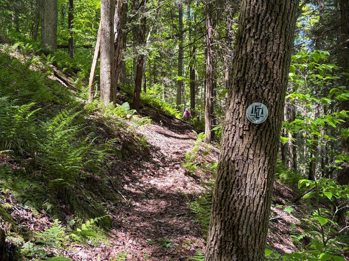
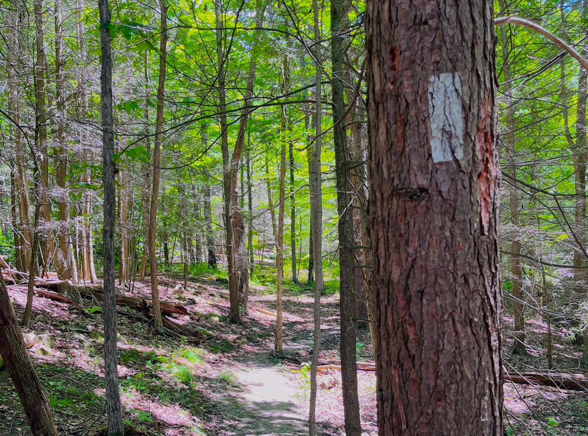
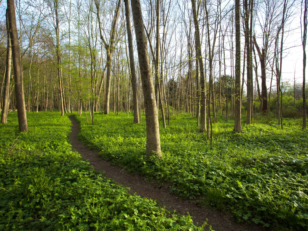
Much of the hike was as I remembered – long stretches of verdant forest, marked by gullies, meadows, steep uphill climbs, and the occasional foundation of a farmhouse or barn. I again marveled at nature’s reclamation of a landscape that had been dominated by farms and sweeping vistas 100 years ago. While much of the hike crossed familiar forest, every so often I would encounter the “jewels” of the Necklace – unique natural areas and recreational opportunities that really stood out.
While I enjoyed them during my six-day journey, most visitors experience them on a day trip. Each of these sites is located within a half hour of Ithaca:
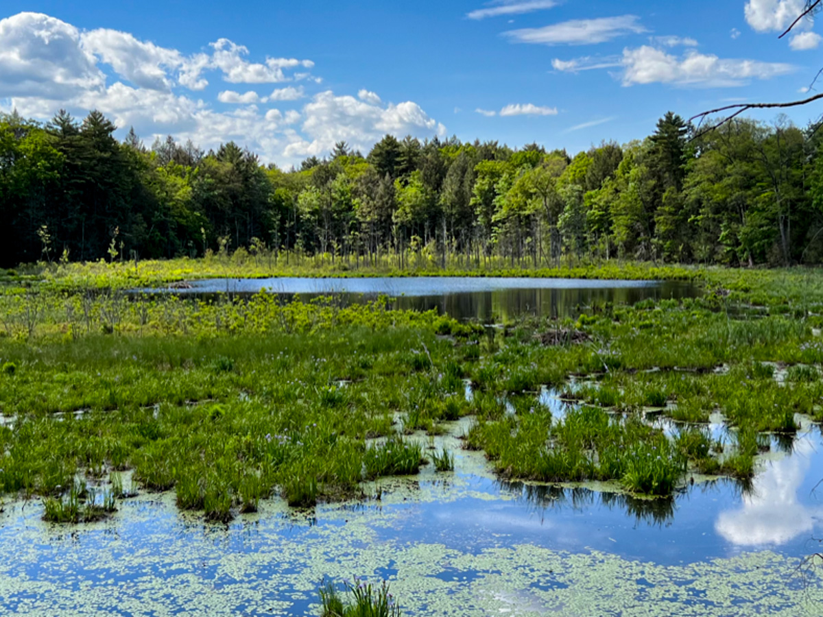
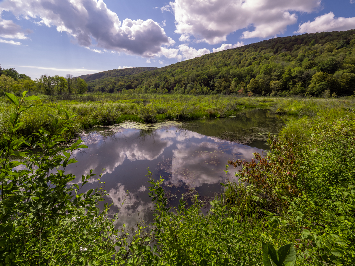
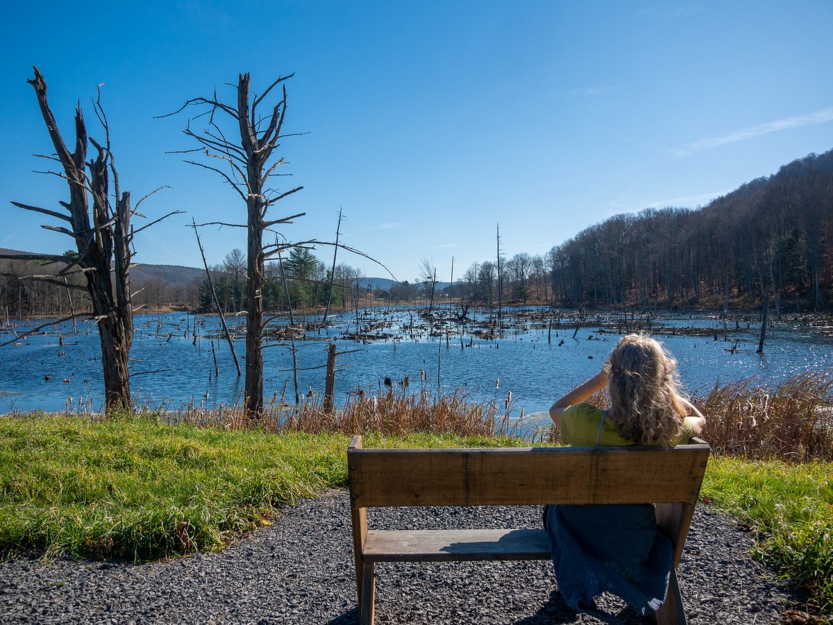
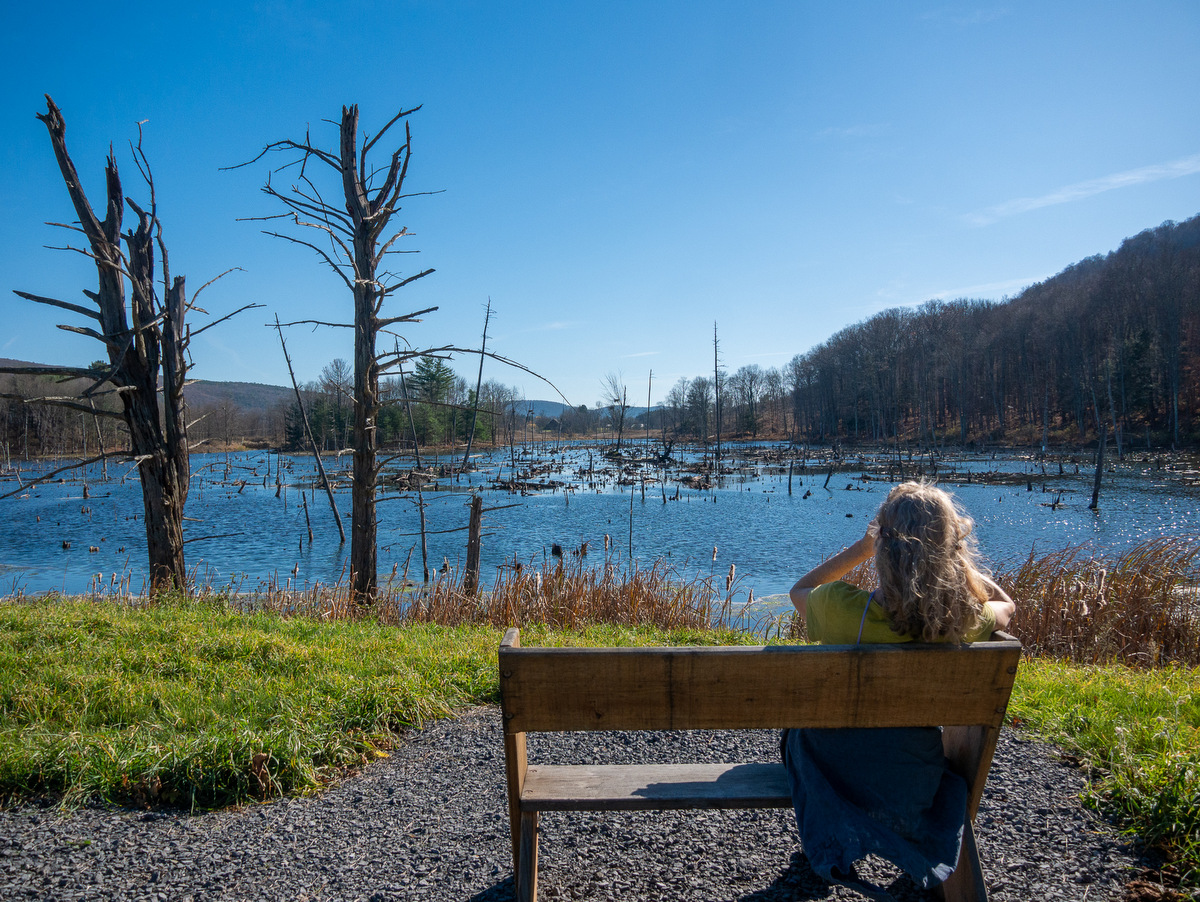
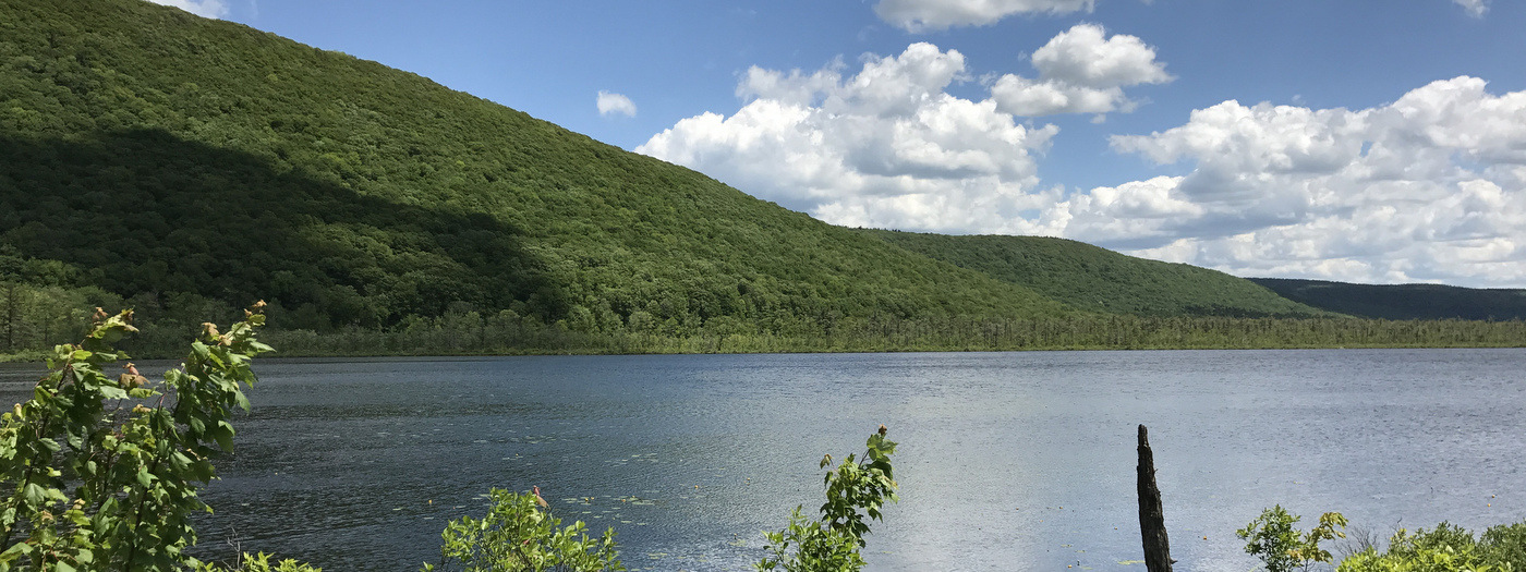
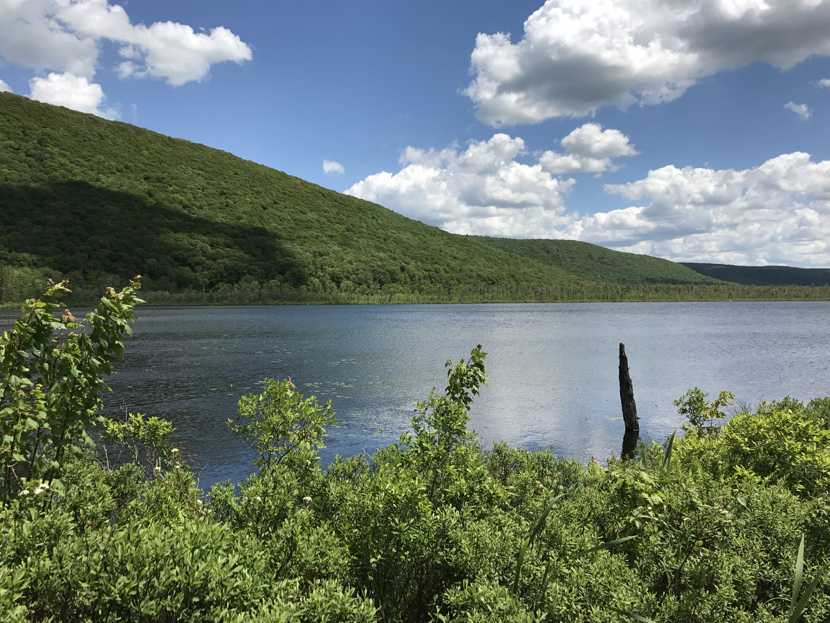
A bog is a type of wetland that is characterized by spongy ground composed of decaying plant material, also known as peat. In the Finger Lakes region, they are relatively uncommon. At Texas Hollow State Forest in Schuyler County, an easily accessible mile-long loop off the Finger Lakes Trail provides great views of a ten-acre sphagnum bog that hosts the pitcher plant and other interesting flora. The bog and an adjacent pond also provide terrific habitat for a diversity of birds and amphibians.
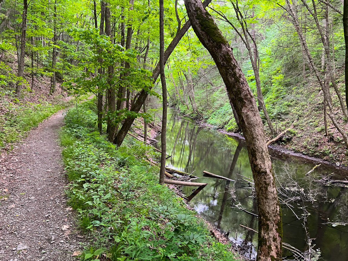
This scenic gorge is also locally known as “the gulf.” It also hosts a segment of the Finger Lakes Trail that is part of the 5.7-mile Van Lone Loop. The trailhead is located just a stone’s throw from Cayuta Lake – a natural water body that provides some good paddling opportunities. This gorge was created by glacial meltwaters and is reminiscent of our forests that are found further to the north. The north side of the gorge is also part of Connecticut Hill – the state’s largest wildlife management area.
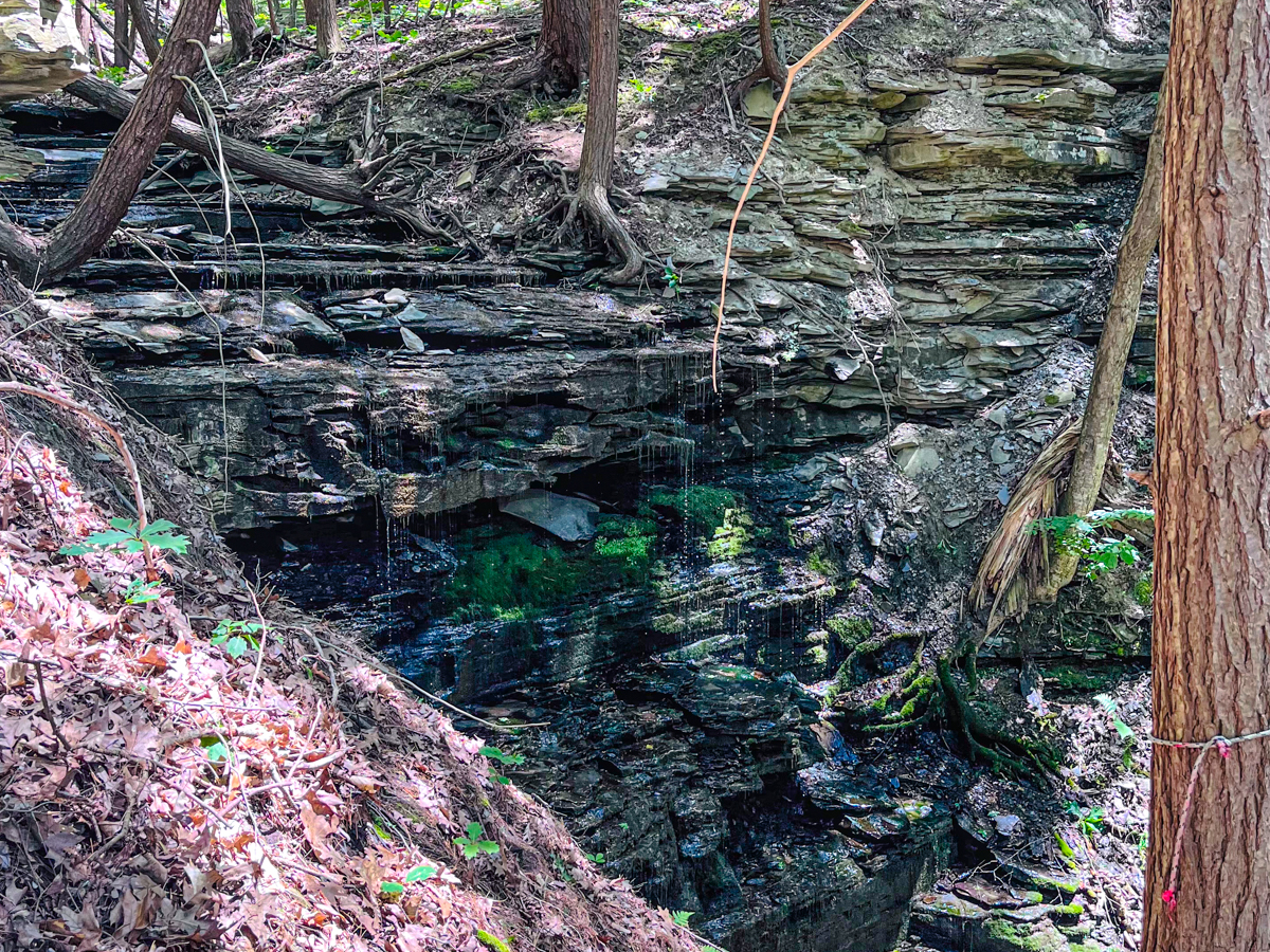
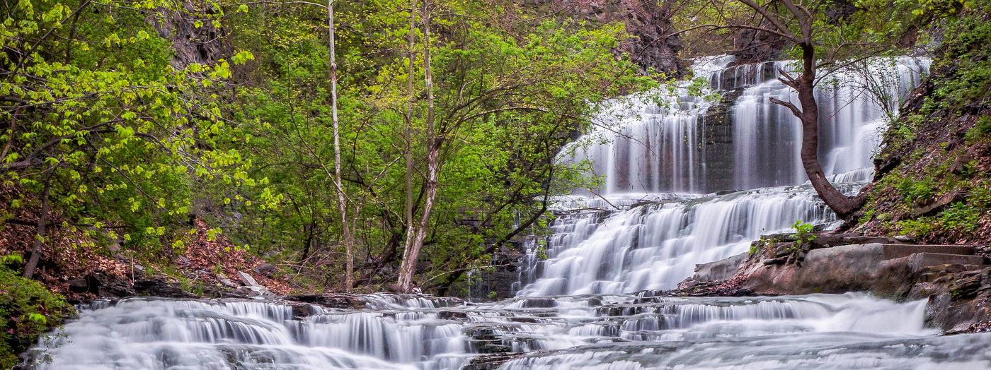
Located in the town of Ithaca, Lick Brook Gorge is one of the most popular stretches of the Finger Lakes Trail. It’s a great destination that can be combined with adjacent gorges and waterfalls in two state parks: Buttermilk Falls and Robert Treman. Lick Brook is a strenuous hike that rewards visitors with timeless views of a wild gorge and its waterfalls and perhaps the croak of one of the ravens that nest there.
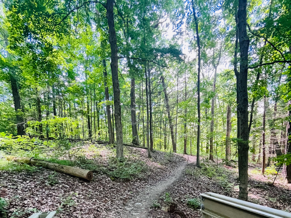
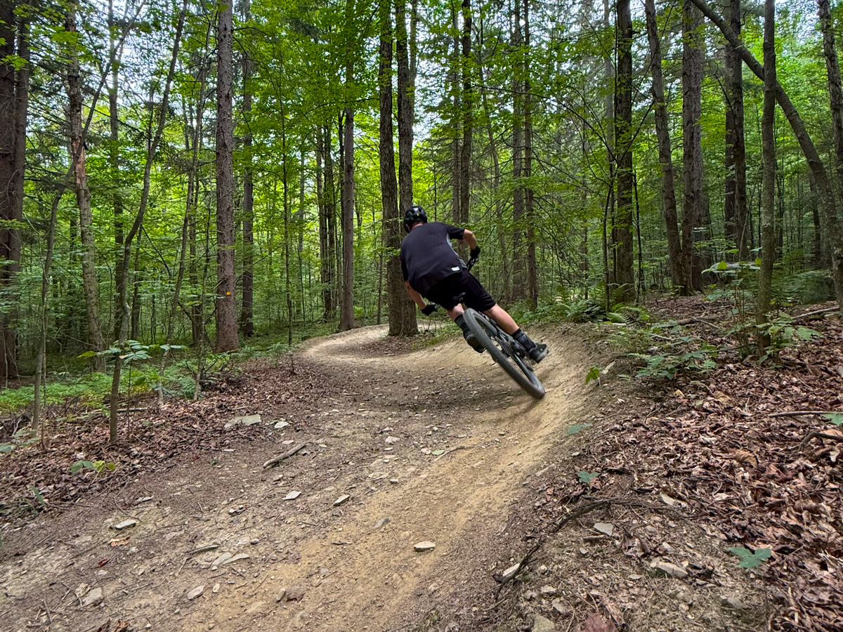
One of the wilder corners of Tompkins County, Shindagin is extensively forested, and its steep-sided hollow is impressive – particularly when you’re hiking up out of it on the Finger Lakes Trail! For many, though, the real draw is the mountain biking trails. Through a partnership with local volunteer group Cycle-CNY, the state has created a network of 15 miles of mountain biking trails that have something for everyone.
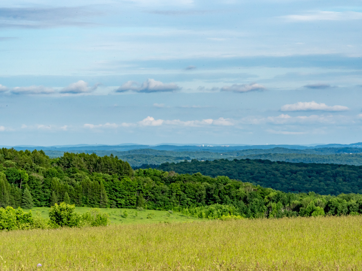
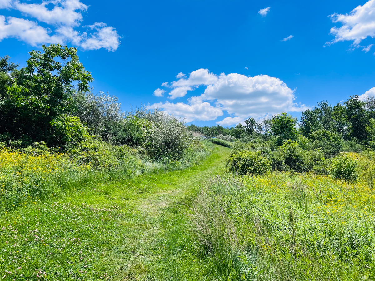
This Finger Lakes Land Trust Preserve features 30-mile views from a hilltop meadow along with nesting Bobolinks – a grassland-loving bird that sounds like the robot R2D2 and migrates to our region all the way from South America. Visitors can take an easy stroll to the vista point or go further for a more strenuous hike through mature hardwood forests that extend for miles in either direction.
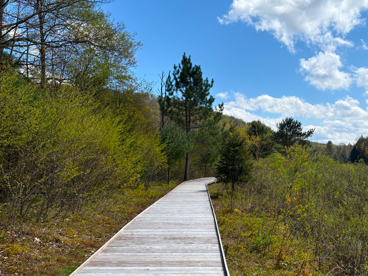
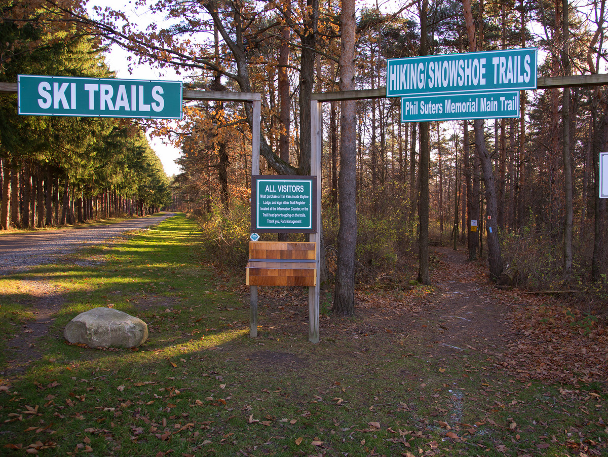
My hike ended at Hammond Hill – a familiar spot for me as it’s been my “go-to” spot for cross-country skiing for many years. The state forest features 20 miles of multi-use trails, and its location seems to frequently receive the southernmost accumulation of lake-effect snow off of Lake Ontario. The adjacent Roy H. Park Preserve features a universally accessible boardwalk and trail that provides access to wetlands bordering Six Mile Creek.
Photo: FLLT
At the conclusion of my hike, I marveled at how little the character of the Emerald Necklace had changed over twenty years, but also at how much progress has been made in making this wonderful area more accessible to the public – through newly conserved lands and improved trails. There are more lands to conserve, though, and plenty of trail improvements still to be made. I look forward to reporting on them after my next traverse!
Canoeing to Rob’s Trail Between Hemlock & Canadice Lakes
By Randi Lynn Quackenbush
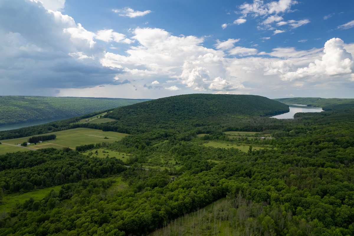
Hemlock and Canadice Lakes are special places here in the Finger Lakes Region. These two lakes are purposefully undeveloped, meaning there are no houses, swimming, or large motorboats permitted. The reason behind these strict regulations is that these lakes provide drinking water for hundreds of thousands of people in the City of Rochester, located 30 miles to the north.
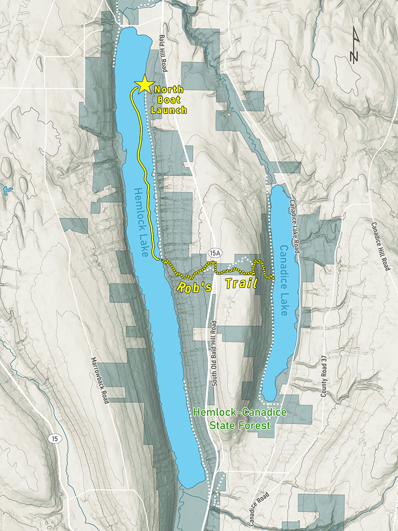
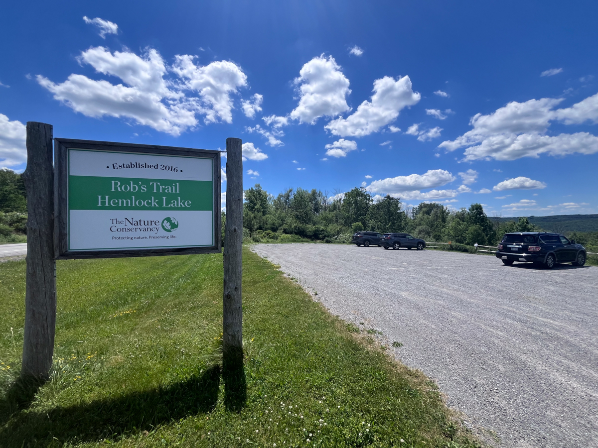
Connecting these two pristine lakes is Rob’s Trail, an out-and-back path from Hemlock Lake that is about 3 miles and includes over 1500’ of elevation gain. Rob’s Trail, and the accompanying preserve, are administered by The Nature Conservancy and named for Rob van der Stricht, a former board chair for the organization who passed away in 2006. He was a birder, canoeist, and fisherman who loved both of these lakes. The trail crosses the 168-acre Rob’s Trail Preserve, which was established in 2016 and is adjacent to Hemlock-Canadice State Forest.
Photo: Chris Ray
First Time on Hemlock
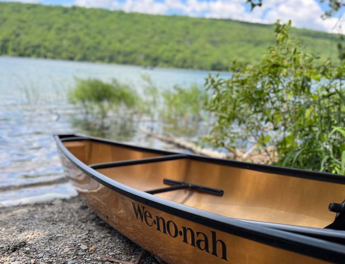
Born and raised here between Keuka and Seneca Lakes, I have always had a profound gratitude for our scenery, water, and gorges. I usually do most of my paddling in the Adirondacks and prefer wilderness areas with no houses and little to no boat traffic. I knew Hemlock Lake would provide a similar situation. So, with my adventure partner Luna—my 6-year-old Norwegian Elkhound—I packed a daypack and loaded my 12’ Wenonah Wee Lassie canoe onto my car to head to Hemlock Lake and Rob’s Trail for the day.
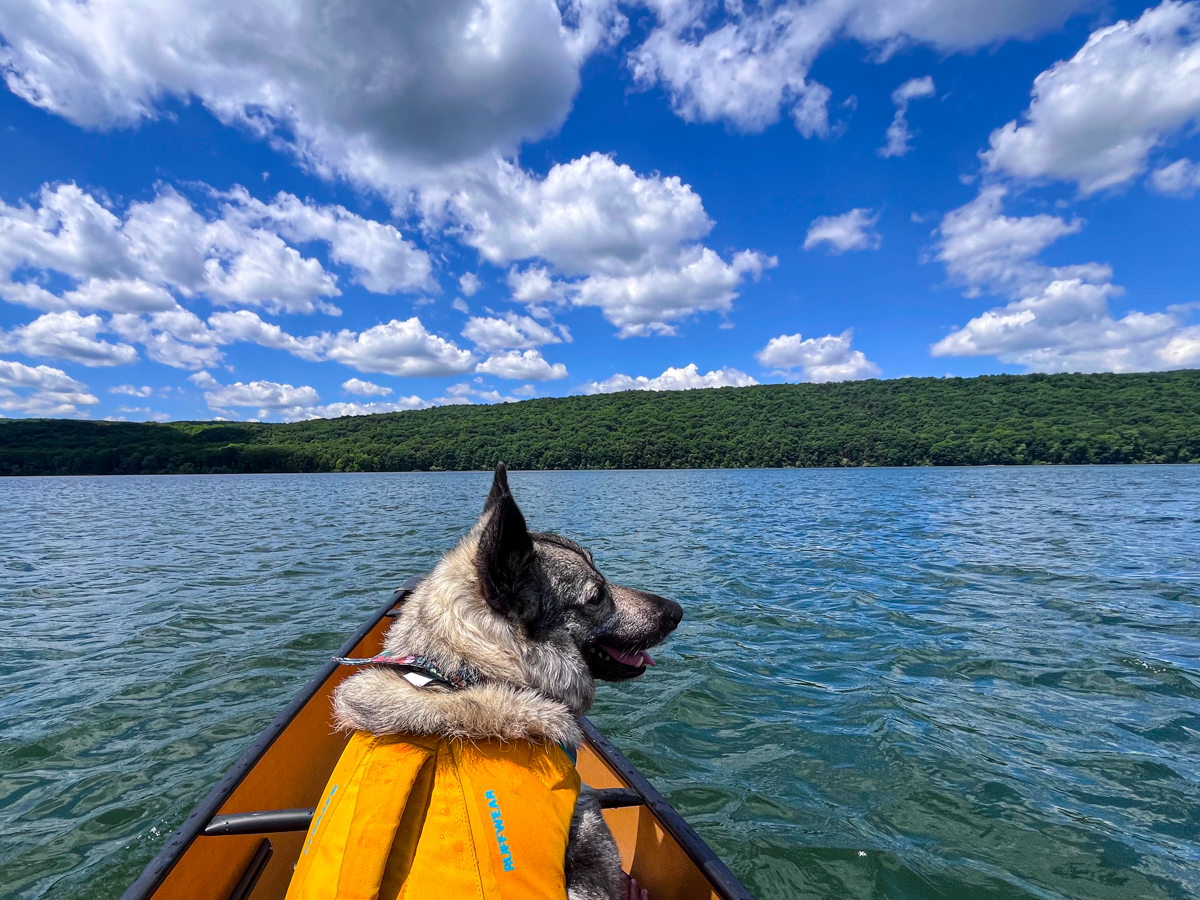
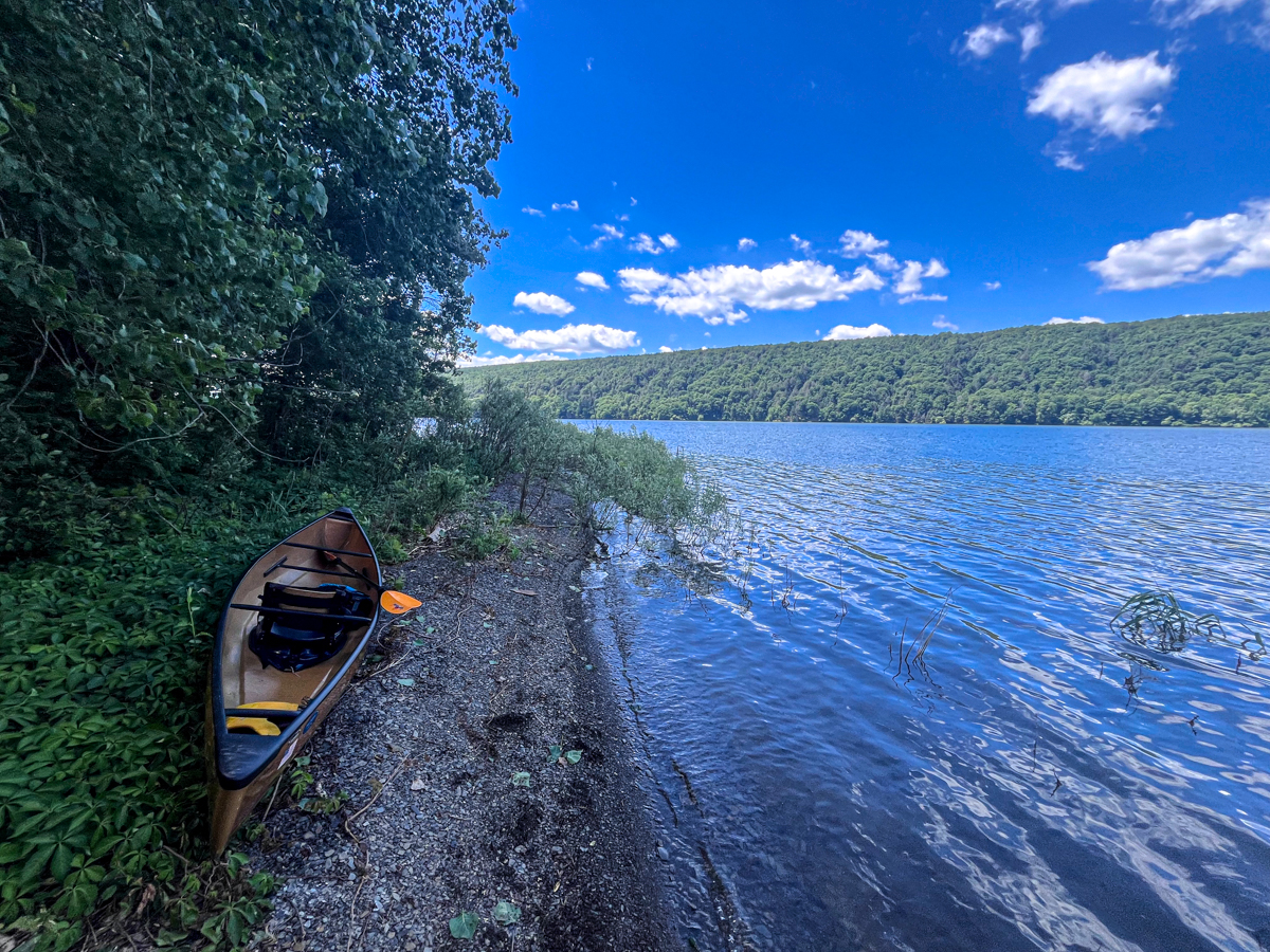
The weather was perfect—sunny, not too hot, and not humid. Soon I was nearing the lake. I passed a water pumping station and arrived at the North Boat access point on Hemlock Lake, where a summer intern with the New York State Department of Environmental Conservation (DEC) checked my boat for invasive species. Being a beautiful day in early June, it wasn’t surprising that so many fishermen were out, looking for the landlocked salmon, trout, and other fish. From this parking lot, you can also follow Rob’s Trail and the DEC Hemlock Lake Haul Road along the lake about 3.3 miles to where I paddled. I had decided to make this more interesting by paddling down the lake along the trail and landing just about where the trail begins to climb up. Thus, I launched my boat with the dog loaded and perched in front of me. Soon, we were floating on Hemlock Lake for the first time.
Photo: Randi Quackenbush
Hemlock Lake is 7 miles long, about a half mile wide, and 91 feet at its deepest point. This place felt wild, pure, clean. I instantly sensed that this is how the Finger Lakes looked before European colonists arrived. The Seneca people hunted and fished these lakes for generations until they were brutally driven out during the Sullivan campaign in 1779. Then came the lumber industry, and soon over 100 cottages and 5 hotels dotted the shorelines of Hemlock Lake. In the mid-1850s, the City of Rochester experienced an outbreak of cholera, and subsequently purchased the land surrounding both Hemlock and Canadice Lakes to secure drinking water for the city. All the cottages and hotels were torn down beginning in 1895 through eminent domain. As I paddled south down the lake, I tried to picture what it must have been like during that era, and marveled at how no remnants of that time are visible at all.
So, with my adventure partner Luna—my 6-year-old Norwegian Elkhound—I packed a daypack and loaded my 12’ Wenonah Wee Lassie canoe onto my car…
I also noticed what was missing—the lake’s namesake tree. Hardwoods line the lakeshore, a mix of maple, oak, willow, birch, and beech trees. I occasionally would see tall white pines poking up. I also enjoyed seeing all the gorges visible running down to the lake. Looking south, the only manmade object I could see was a cell phone tower in the distance. I could hear some small motors on the fishing boats, but other than that, it was just me, the birds, and the breeze. It truly felt like a wild and secluded place, knowing the city of Rochester was just 30 miles to the north.
Landing for Rob’s Trail
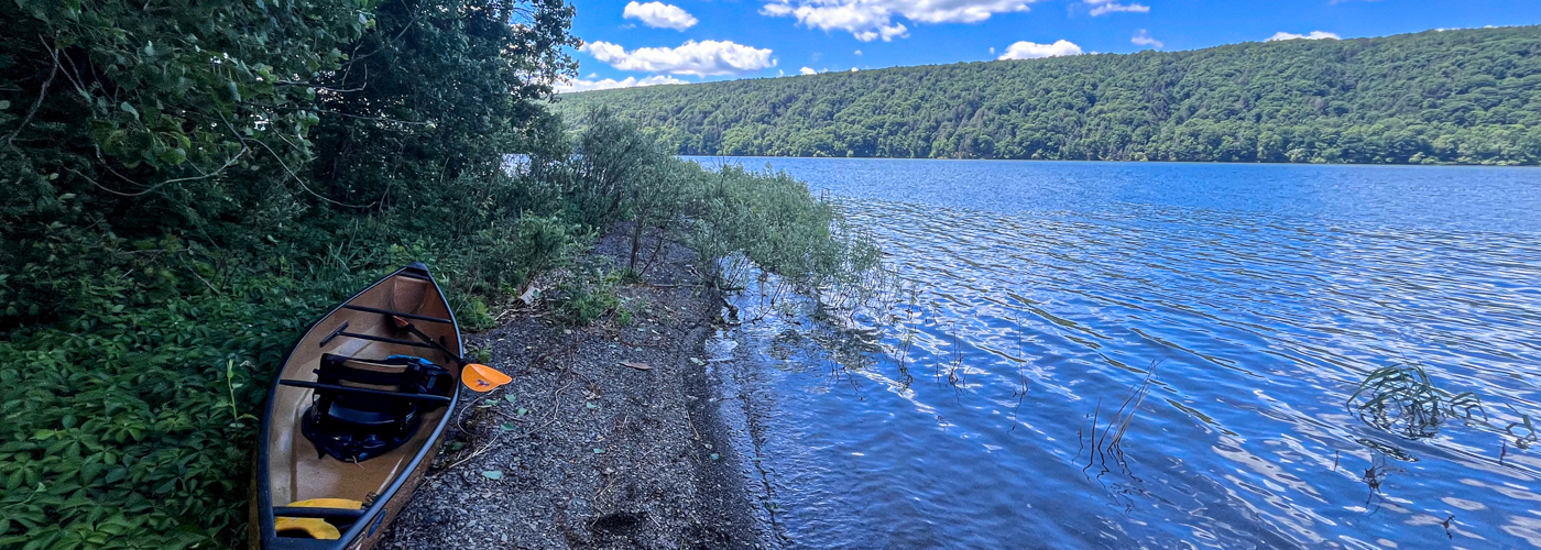
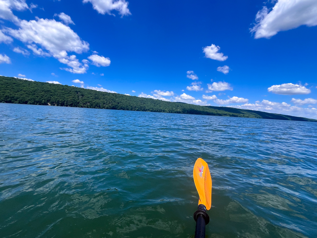
I was paddling into a decent headwind as I headed south. Hemlock Lake is more wind-prone than Canadice due to its size. There were no whitecaps, but enough wind to make taking breaks futile. I had to use a variety of strokes—forward sweeps, sometimes reverse sweeps, and ruddering to keep me pointed diagonally toward the shore. Before I knew it, I had paddled some 2.75 miles south. Checking my map, I saw that Rob’s Trail began climbing up from this part of the lake. I landed on a small point and changed from sandals to trail runners. I grabbed my daypack and Luna’s leash, said goodbye to my canoe, and walked through the brush to Rob’s Trail.
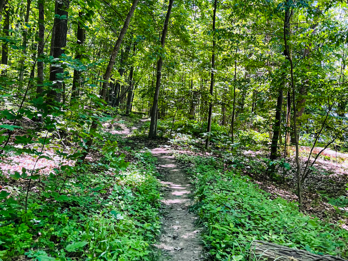
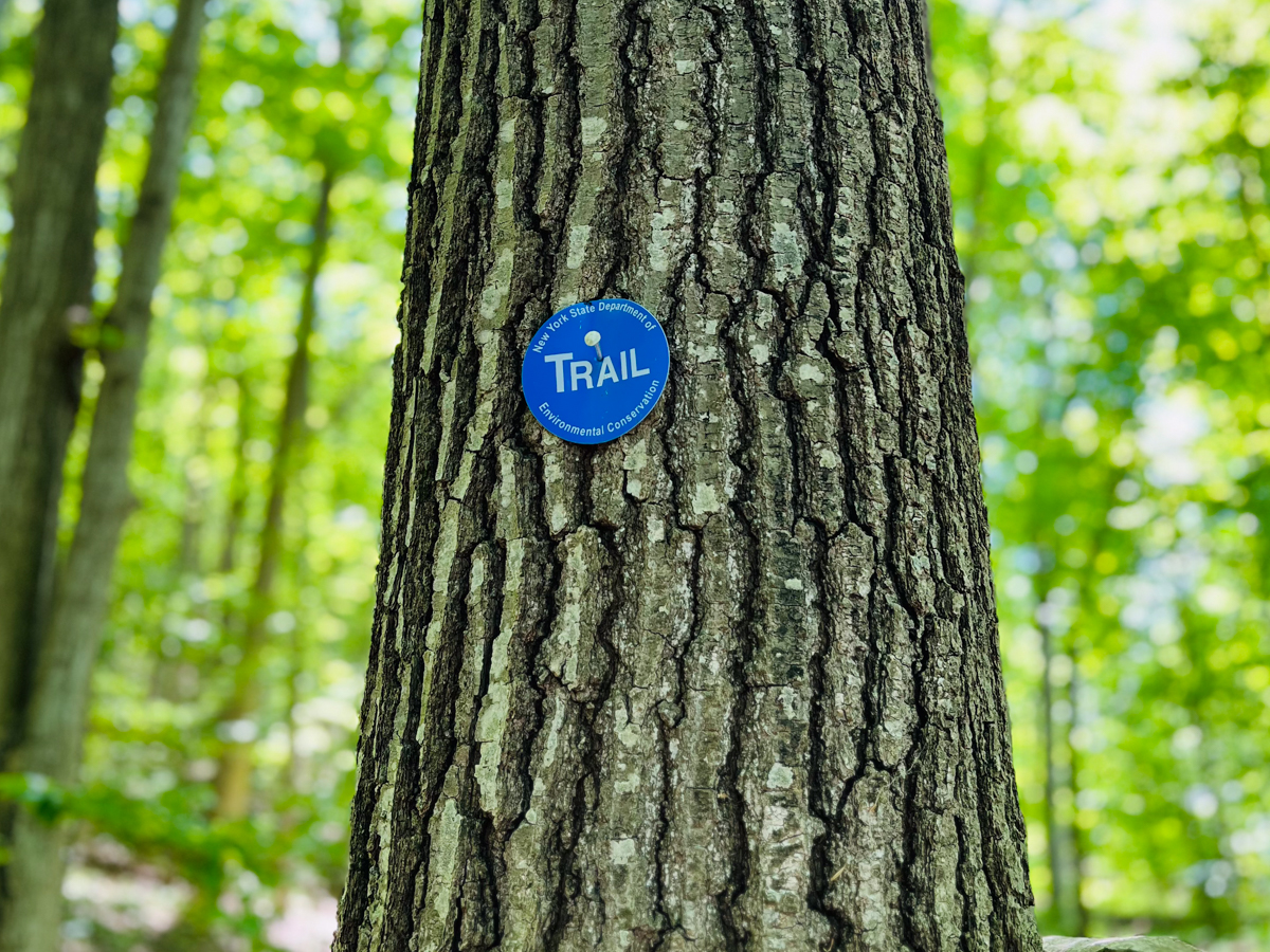
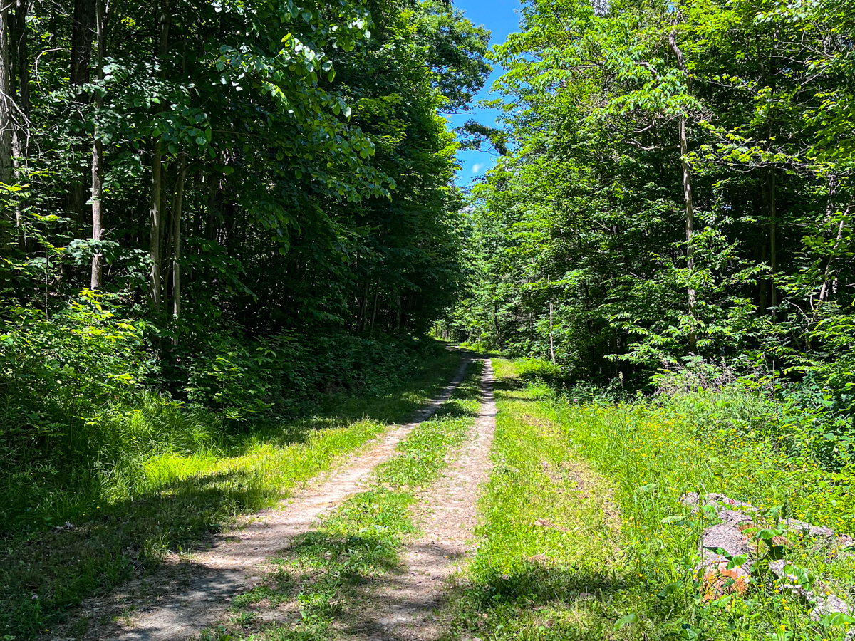
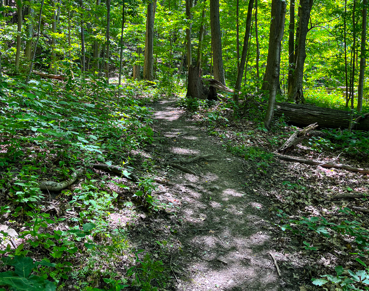
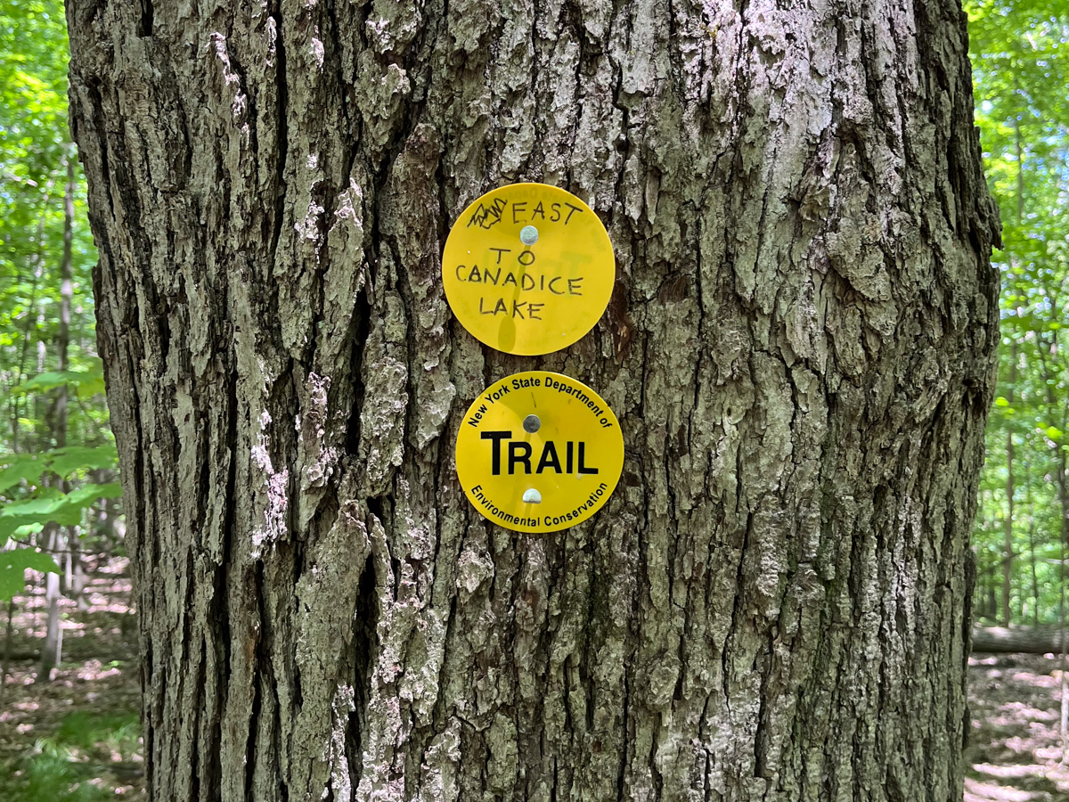
I instantly saw a blue DEC trail marker. The DEC purchased both of these lakes in 2010 from the City of Rochester, and today, the land surrounding the lakes is part of the 6,849-acre Hemlock-Canadice State Forest. The trail was lovely, and while I had landed at a brushier spot, there were several trails down to the lake off Rob’s Trail. I began the climb, which was gradual switchbacks with a mellow grade, a rarity in New York and quite splendid. The trail followed the contours of the land instead of heading straight up. About a half mile up, a side trail leads to a gorge with a waterfall overlook. Given our recent dry spring, the falls were minimal, but it was still a nice little spot, and I noticed the hemlocks here finally—they like to grow around the gorges.
Photo: Randi Quackenbush
Photo: Randi Quackenbush
Photo: Randi Quackenbush
Photo: Randi Quackenbush
Photo: Randi Quackenbush
Photo: Randi Quackenbush
Photo: Randi Quackenbush
Photo: Randi Quackenbush
Back on the trail, I continued up and naively began to think that maybe I would have the place to myself. About three-quarters of a mile up, we crossed a metal bridge, and Luna was able to get a drink from the small creek. After about a mile, I began to see people—first a woman with a younger girl on bikes, then a young man who was carrying a packraft down to do a loop, similar to what I was doing, and then a couple on a hike. Soon I could hear cars as I crested the hill and reached a parking lot with a lovely view of the valley toward the lake on Route 15A. This is the place you can park if you want to hike down to either lake and back to your car.
About a half mile up, a side trail leads to a gorge with a waterfall overlook.
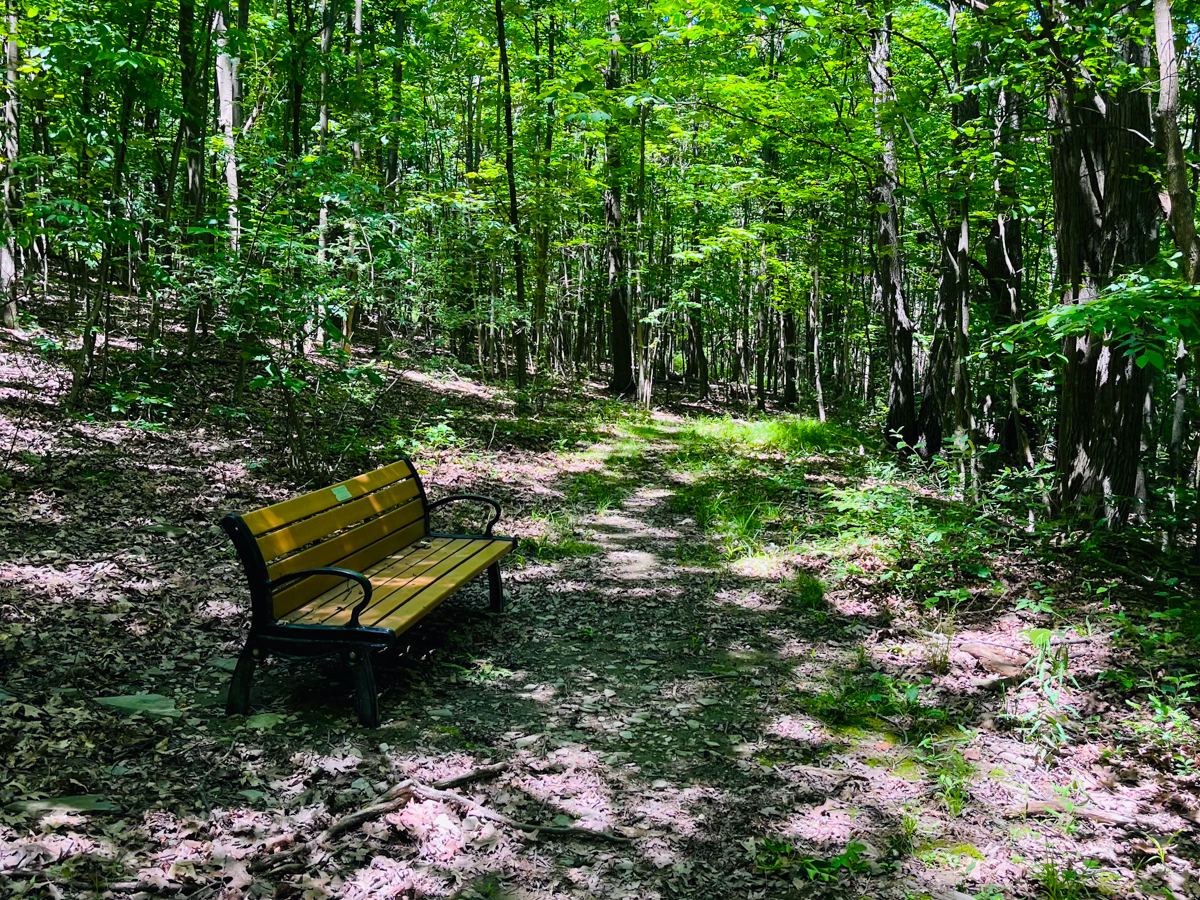
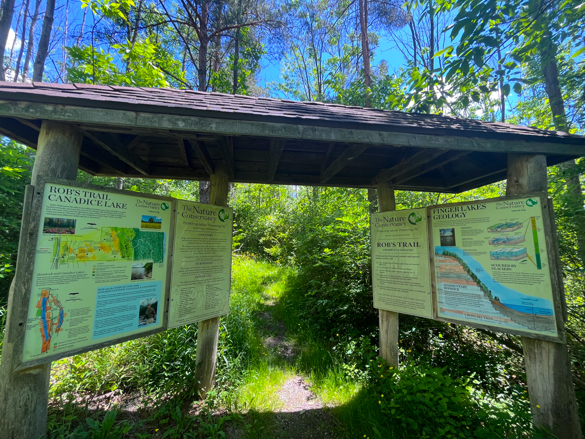
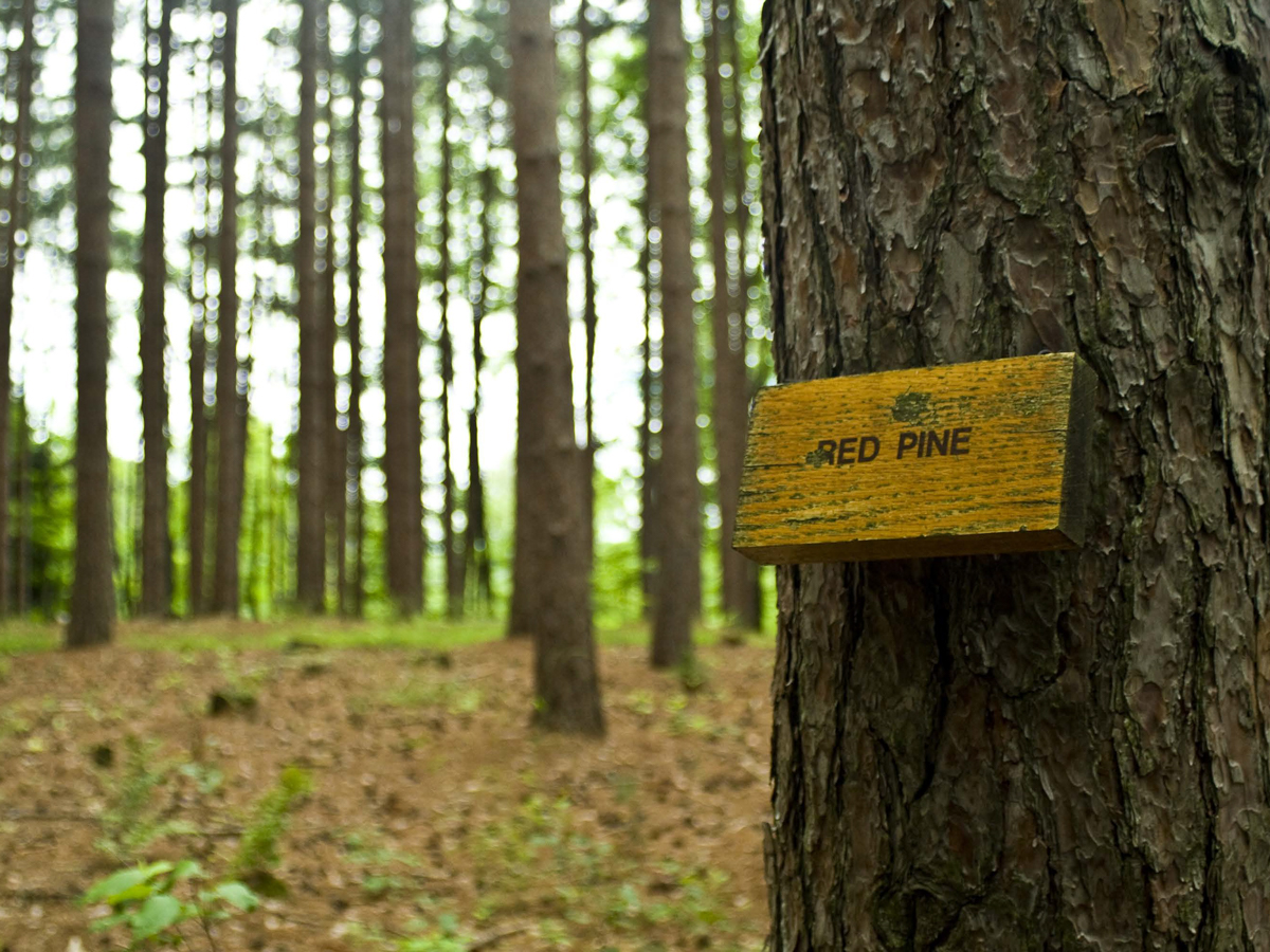
A short walk down the highway brought us to another parking lot, more Nature Conservancy land, and the trail down to Canadice Lake. You could tell that this trail is normally very swampy and muddy, but today it was thankfully dry. A kiosk explained that the first meadowy section was old farmland and would slowly return to forest. This section was full of high grass and honeysuckle, dogwood trees, and some scattered red pines. After some more tall grass, the trail entered a lovely woodland. I had hoped to be able to run down this trail, but it wasn’t in the best condition, and I was also worried about tripping in the tall grass. Soon, the trail re-entered the state forest, and this trail, marked yellow, was steeper and less maintained than the blue Hemlock trail. A bench dedicated to Rob marked the point to turn down toward the lake. I missed it on the first go and realized soon after, as a loop started uphill and I double-checked the map.
Photo: Randi Quackenbush
Photo: Randi Quackenbush
Photo: Randi Quackenbush
Photo: Randi Quackenbush
Photo: Randi Quackenbush
Photo: Randi Quackenbush
Photo: Randi Quackenbush
The final stretch of trail crossed a few dry creekbeds and dropped 600’ before the bright blue lake suddenly appeared in the trees, and we hit the Canadice Haul road. We found the best place to get down to enjoy the view of this lake. I grew up in the Finger Lakes, but I have never laid my eyes on Canadice Lake, which is kind of wild to me. This lake is only three miles long and is the smallest Finger Lake. I could see a few kayaks and hear a boat motor, but other than that, it was quiet.
We enjoyed the quiet calm and greenery of this lake for a bit. I said to Luna, “Alright, we are halfway done, time to head back up!” We saw a few people biking on the Canadice Lake Haul Road and went back up the slightly steeper grade, then took the loop option back to the parking lot and down the road to the next lot. Soon we were back on the lovely blue trail, and we were able to easily run the mile-and-a-half back down the gentle grade to the lake. We passed a few more people before getting back to the canoe. It was still there—hurray! I switched back to sandals, drank the last of my water, and got back on the lake.
Photo: Randi Quackenbush
Paddling Into the Wind
I had hoped the headwind would still be blowing up the lake, but alas, the afternoon brought the wind going down the lake, so I was paddling into the wind again, and it took a little longer to get back to the boat launch. We passed a few other kayakers and watched several turkey vultures soar above. Then I saw the distinct white head and tail feathers of a Bald Eagle right over my head. Bald Eagles are a common sight these days, but the kiosk indicated that when the birds were endangered, the only successful natural nest in New York was right here on the south end of Hemlock Lake. I then turned and saw a lone Loon bobbing right by us. It felt like being in the wilderness in the Adirondacks, but I was right here in the Finger Lakes.
The greenery was simply stunning. Having lived for several years away from Upstate New York in some dry places, I am always blown away by what the spring colors look like. I then wondered what it would be like to paddle on this lake during peak fall season and reckoned I would need to come back to see it. I also wondered what winter would be like and how the ice fishing would be and was also intrigued.
Soon, we were back at the boat launch, and we landed and loaded up the car. The whole journey totaled about five-and-a-half miles of paddling, seven miles of hiking with 1500’ of elevation gain, in about four-and-a-half hours. The mini adventure I had planned had been a success! The trails were in prime condition with the recent dry weather, and I loved having the challenge of the climb up and over and back again. I marveled at the feeling of being on a familiar, long, and skinny lake in my canoe, but without cottages and the buzz of motorboats. This state forest land is owned by us, the people of New York, and I, as always, love being a public land owner.
Randi Lynn Quackenbush was born and raised between Keuka and Seneca Lakes and now resides outside of Trumansburg near Cayuga Lake. She is a licensed NYS Guide and the owner of Crescent Moon Outdoors, a guiding and outdoor education business focused on getting women into the outdoors.
Dear Finger Lakers – Just in time for warm weather, we are excited to announce three new additions to Go Finger Lakes! Check out the list below which includes an expanded rail trail, a state forest, and a nature preserve with improved public access. These locations were chosen for their unique recreational opportunities by the staff at the Finger Lakes Land Trust. You can also search the main map for more outdoor adventures.
This multi-use trail in Tompkins County passes through a variety of urban and rural settings, perfect for hikers, cyclists, runners, and equestrians. Currently at 10 miles, the trail will encompass 14 miles when complete, linking Dryden to Ithaca, connecting to the East Hill Recreation Way near Cornell University campus.
Diverse habitats and skillfully crafted trails converge at the 550-acre Hickory Ridge Nature Preserve in Ontario County, owned and managed by The Nature Conservancy in New York. 6.5 miles of shared-use trails for mountain bikers, hikers, and runners are clearly marked for beginners, experts, and everyone in between.
While some state forests close to population centers are often a hub of activity for outdoor recreation, Taylor Valley State Forest’s 4,755 acres feel like a peaceful and remote wilderness. Located in the steep rolling terrain of eastern Cortland County among a large cluster of state lands, Taylor Valley offers solitude for hikers, campers, birdwatchers, and more.
It’s early spring, a time of highly variable weather conditions that make outdoor adventures quite difficult to plan. By now, the skis have been put away, and most people are awaiting consistently warm temperatures and sunshine. But instead of waiting for those ideal conditions, consider the many options available to all in the Finger Lakes region. It may not be time for swimming, paddling, or other warm weather activities, but there are still many beautiful places to visit and enjoy nature.
The things that many people love about getting outdoors in the Finger Lakes region—deep gorges, majestic waterfalls, lake views, and rolling forests—are often inaccessible to people with physical or cognitive challenges. Nonetheless, there are opportunities to experience nature for people of all abilities. See what our region has to offer with this list of inclusive outdoor spaces.
Over 950 miles long and covering some of the most scenic land in New York, the Finger Lakes Trail (FLT) system runs from Allegany State Park on the Pennsylvania border to the Catskill Forest Preserve, with branch trails to Niagara Falls, the Genesee River valley, the Great Eastern Trail, the central Finger Lakes, and the Syracuse region. Here in the Finger Lakes region, there are a few hikes along the FLT that really stand out, including hikes that pass through Finger Lakes Land Trust nature preserves, NY State Forests, and county parks. We invite you to explore some of the best.
With its glacially carved landscapes, majestic forests, sparkling lakes, and unique flora and fauna, the Finger Lakes region is alive with natural wonder. Interpreting it all are the many nature centers that provide environmental education and recreational opportunities for visitors and residents alike. Their trail networks, indoor exhibits, public events, school programs, and more are designed to foster an appreciation of the natural world. Visit some of our favorite nature centers in the region!
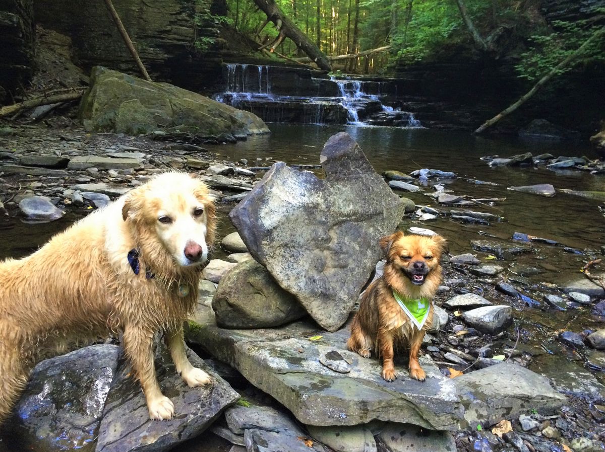
Dogs make great hiking companions and can bring tremendous joy to your outdoor adventures, but not all trails are dog-friendly. Fortunately, the Finger Lakes region offers plenty of places to get outside with your canine friends. Here are a few of our favorites, from locations with firm leash policies to places where your furry friends have a bit more freedom. Whether on or off-leash, please be sure your dog is under your control at all times.
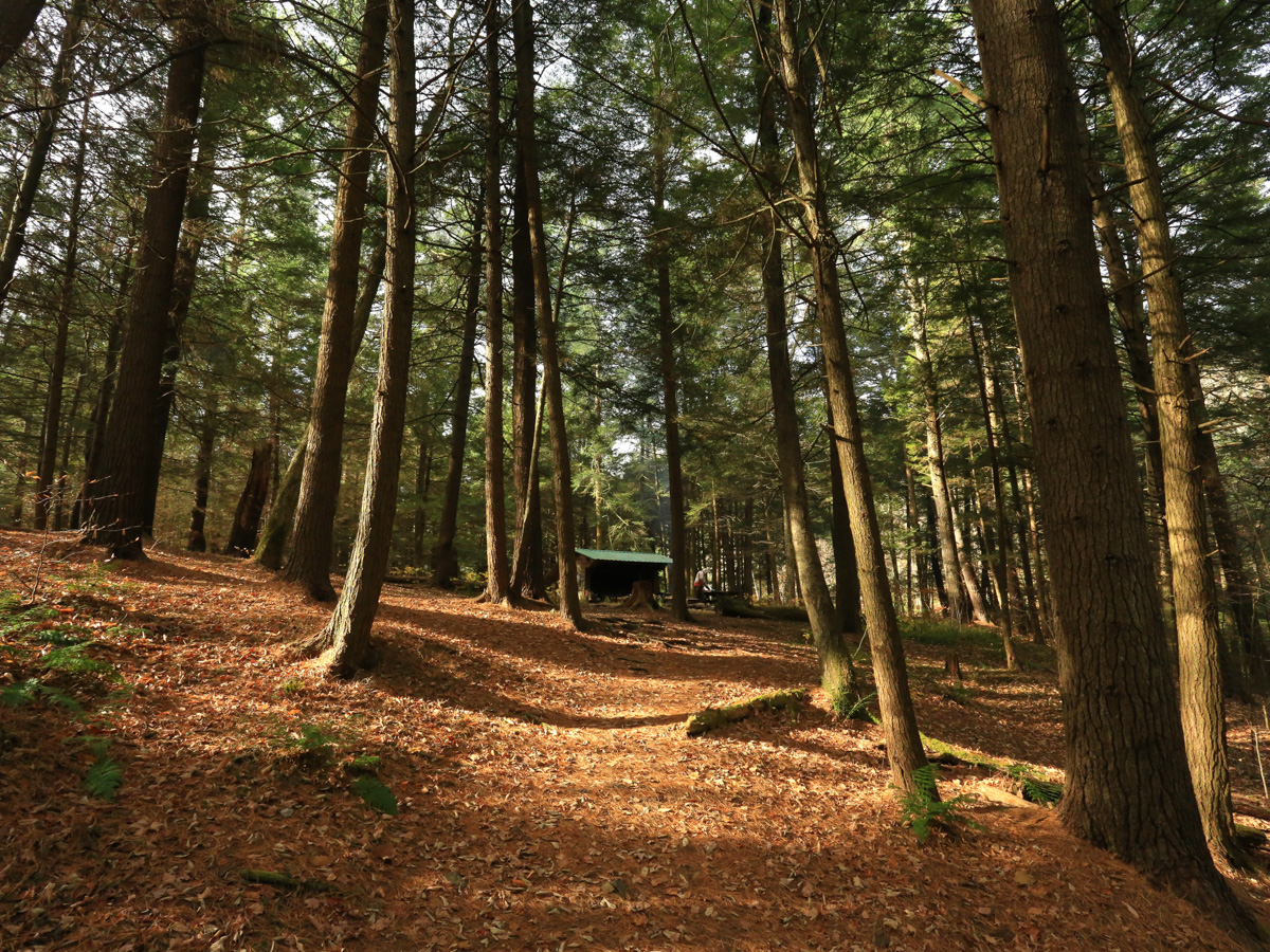
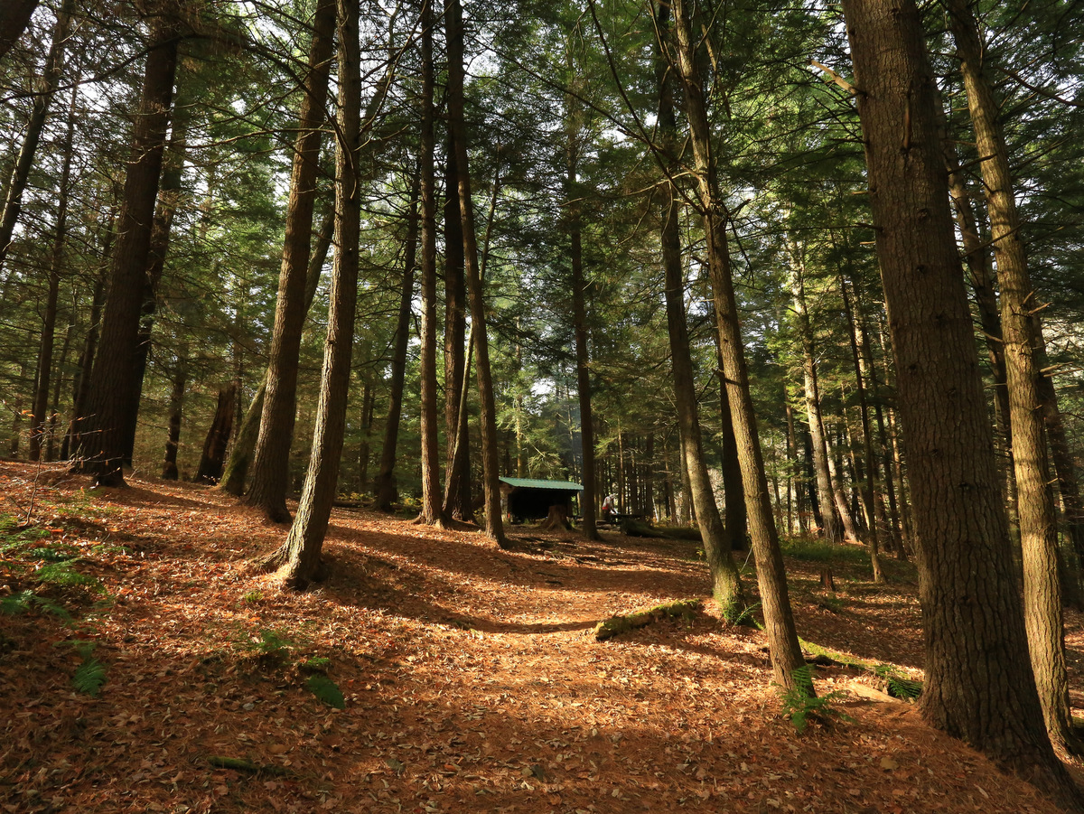
Lean-tos, the wonderful wooden shelters cherished by campers and trail enthusiasts of all kinds, are found in many forested areas of the Finger Lakes. Mostly nestled along sections of the Finger Lakes Trail, these rustic three-sided structures provide overnight lodging with celestial views. They also offer refuge from the rain and serve as a resting place for hikers, cross-country skiers, and more. Learn about our favorite lean-tos in the region.
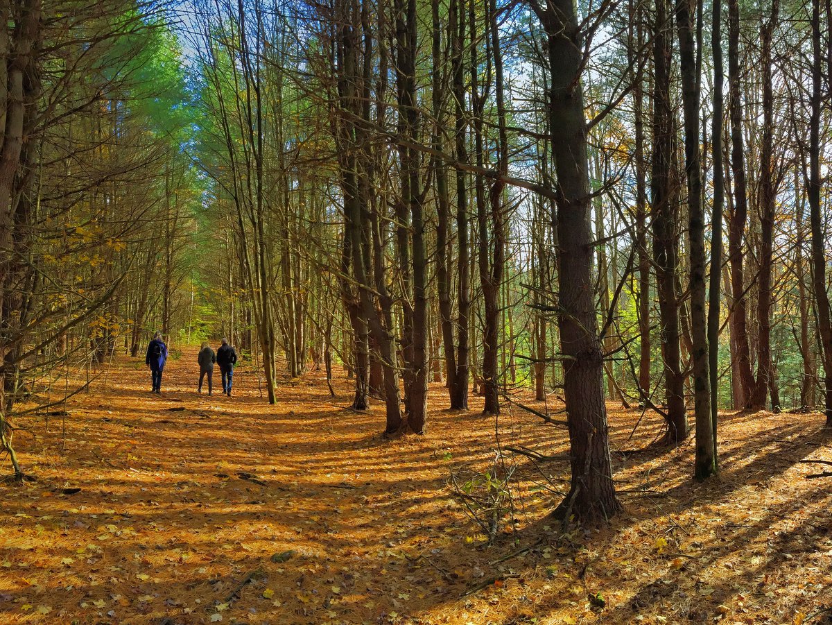
Spending too much time indoors these days? Looking to shake off the winter blues and connect with friends while on an outdoor adventure? An invigorating hike and good conversation might be just what you need. Our region has many options for cold weather hiking at state parks, nature centers, rail trails, and more. Enliven your senses with good company and beautiful Finger Lakes scenery at one of these locations.
Many of your favorite trails and outdoor locations may be closed or have limited access during the fall hunting season. For anyone looking for peace of mind and open space without trail closures, explore this list of places where hunting is not allowed. We also advise you to check with each location before visiting as hunting policies can change.
The Cornell Lab of Ornithology, more commonly known as Sapsucker Woods, is a birding haven and great resource for long-time birders and those with an aspiring interest. Four miles of trails wander through the 230-acre sanctuary, with multiple interconnected loops that can be intermixed for longer trips. The mostly level trails weave through deep woods, atop boardwalks in swamps, and beside ponds bursting with wildlife of all kinds.
Rolling wooded hills, well-groomed trails, and varied niches make this small gem in Marcellus a must-visit for all members of the family. Short trails through an arboretum as well as wildflower and herb gardens near the John A. Weeks Interpretive Center are perfect for those who just want a brief, easy stroll. The longer Valley, Boundary, and Field to Forest trails offer extended trips to expand the experience and are thoroughly enjoyable by hikers of all levels.
Whether you walk a mile or run the full, 16-mile round trip, the Cayuga Waterfront Trail (CWT) is a great way to experience all that Ithaca’s Cayuga Lake waterfront has to offer. Benches, scenic overlooks, interpretive signs, and trailheads with decorative paving and kiosks help make the CWT a special place to relax or exercise, all while enjoying Ithaca’s beautiful waterways.
An easy meandering trail accessed from the south parking area of this Finger Lakes Land Trust preserve in Dryden leads you through a meadow that encircles a beautiful evergreen plantation. Follow the spur trail and you will find yourself in a mature forest that leads to the hemlock-studded gorge and waterfalls along Six Mile Creek. Please note that while hunting is prohibited in the Roy H. Park Preserve, it is allowed in the adjacent Hammond Hill State Forest which can be accessed from the preserve’s northern entrance.
The 793-acre Steege Hill Nature Preserve in Big Flats has seven miles of hiking trails and is the Finger Lakes Land Trust’s largest conservation area. Located on a hilltop high above the Chemung River, hikers can choose from a series of connected loop trails for longer or shorter hikes.
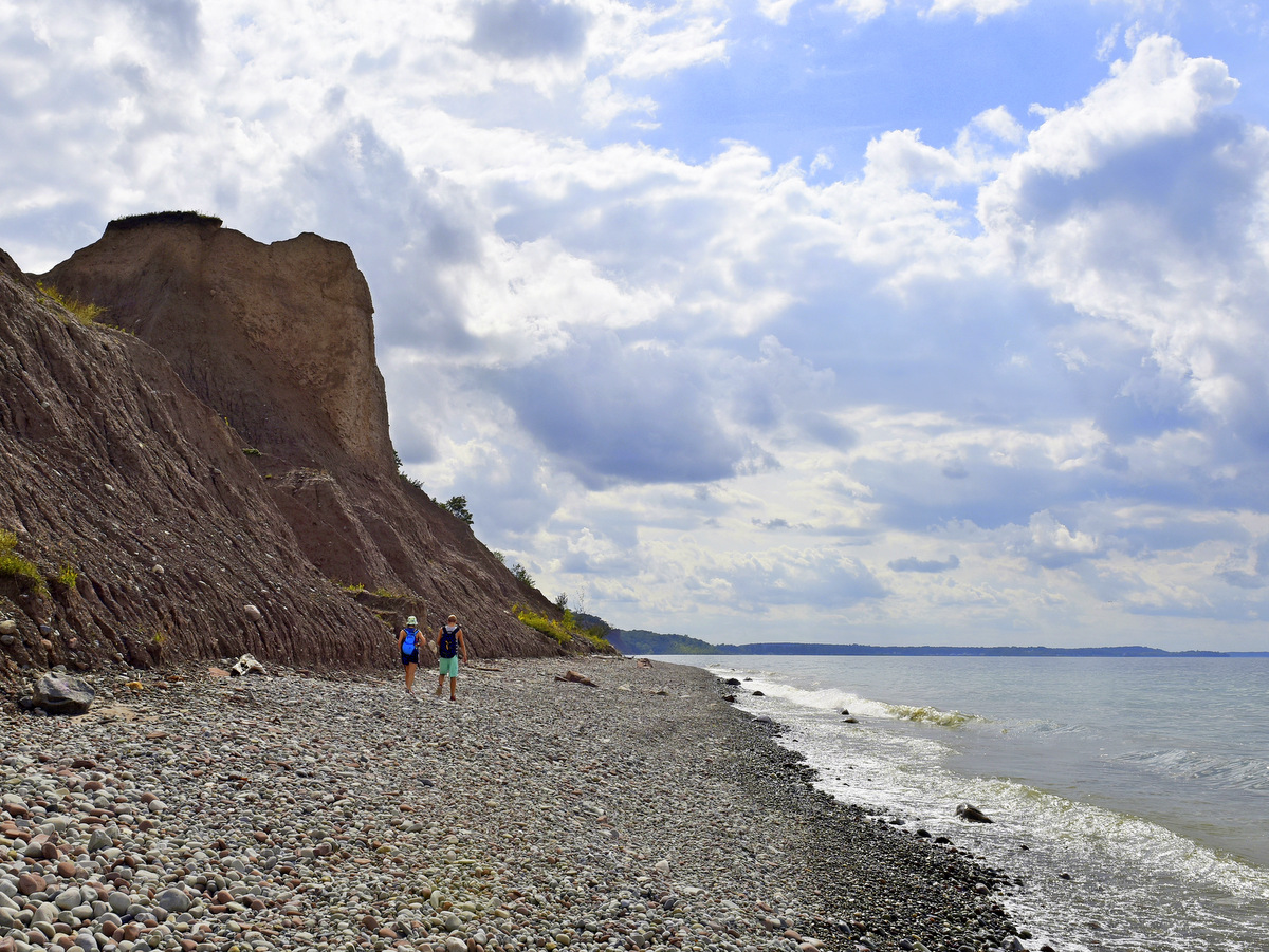
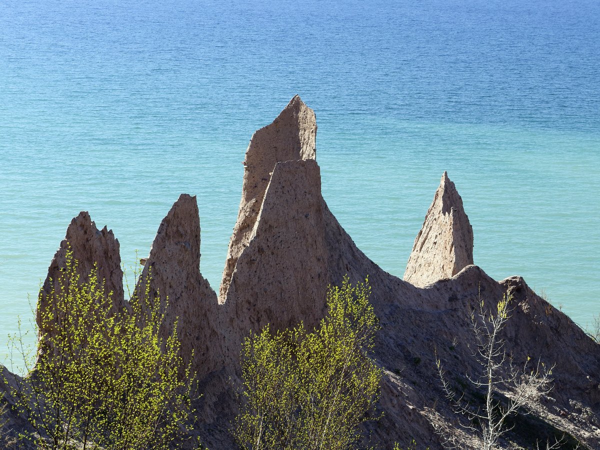
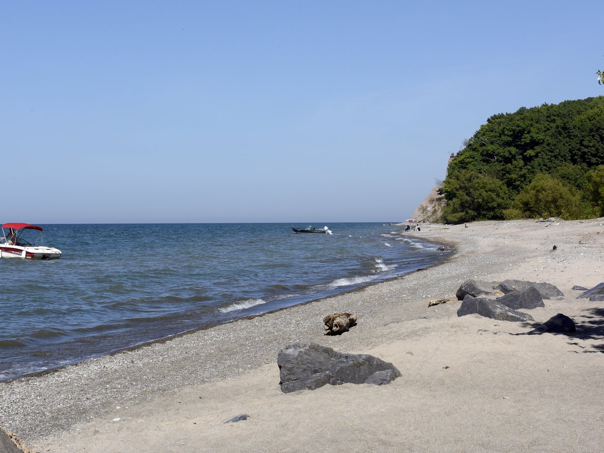
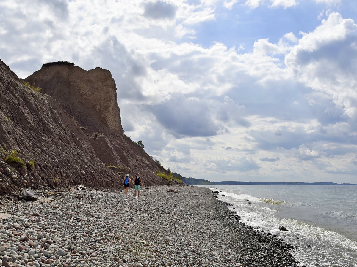
The 1,150-acre Sterling Nature Center is a true gem for hikers, birders, and outdoor enthusiasts. Open dawn to dusk every day, the nature center has a bit of something for all: 8.5 miles of hiking trails, access to paddle on Lake Ontario and Sterling Creek, bluffs, ocean-like views, a beaver pond, vernal pools, roughly 2 miles of pebble beaches, and birding opportunities that will thrill novices and veterans alike.
With over 2,600 acres, Mendon Ponds is the largest park in Monroe County and includes a wide variety of options for outdoor activities including roughly 40 miles of hiking trails, cycling along the network of roads, and canoeing/kayaking. In addition, the park is also home to stunning examples of glacial landforms, a nature center and bird of prey facility, and a butterfly garden.
The Tanglewood Nature Center in Elmira is home to a six-mile trail system. Multiple loops of varying difficulty and length, allow for leisurely strolls in the meadows or more vigorous excursions through the woodland. The trails are peppered with placards that have quotes from Mark Twain whose wit and thoughts help frame our views of nature in new and amusing ways.
The Waterman Interpretive Center in Apalachin houses a museum, live animal residents, a reference library, a gift shop, educational displays, and classroom space, all open to the public. Hikers can enjoy the 3.6-mile trail system—a collection of loops with intersecting shortcuts so you can plan a trip with varying lengths.
*Please be advised that hunting may be occurring on adjacent properties. We encourage every outdoor enthusiast to wear blaze orange, pink, or another bright color, especially during fall and winter. Doing so will allow you to be seen more easily and from greater distances. Learn more about hiker safety during hunting season.
Ithaca Outdoors: Highlights for Hiking, Biking, Birding, and More!
Will you be in the Ithaca area for a few days and want to get outdoors? Here are some highlights that include different options for experiencing everything this small city is known for: waterfalls, gorges, lake views, and much more. Make your own itinerary with these and other Ithaca-area locations from our Go Finger Lakes map.
Though evocative of a hazardous downhill ski run, the Black Diamond Trail is actually a broad, mostly level, multiuse trail — limited to cyclists, walkers, runners, cross country skiers, and snowshoers. Its stone dust surface makes the trail a pleasure to ride on or to stroll along in what is essentially a picturesque, eight-mile-long, tree-lined alleyway. First-time visitors should remember to double their mileage when planning out-and-back routes, while one-way trekkers may want to note that the grade slopes downward most of the way from Taughannock Falls State Park in Trumansburg to Cass Park in Ithaca.
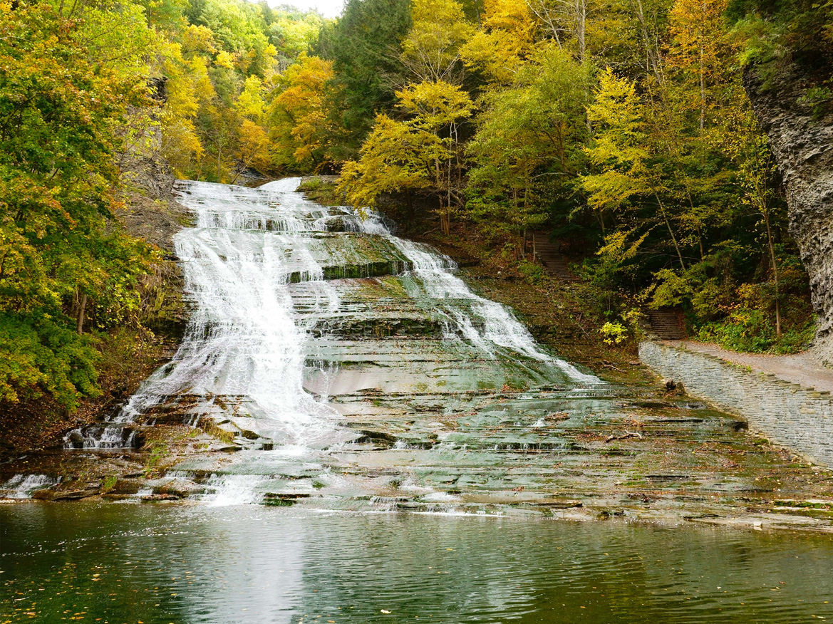
Located just on the southern edge of Ithaca, Buttermilk Falls is a popular spot for tourists and local residents, especially during the height of summer. At the entrance is the park’s namesake: a foaming and frothy waterfall with a deep pool and dammed swimming area below. Hikers who ascend the handsome stonework stairs and past the waterfall are treated to an endless supply of stunning waterscapes. And the trail system extends beyond the gorge and rim trails to the upper section of the park, which includes a loop trail around Lake Treman, where ambitious visitors can pick up the orange-blazed Finger Lakes Trail.
The Cornell Lab of Ornithology, more commonly known as Sapsucker Woods, is a birding haven and a great resource for long-time birders and those with an aspiring interest. Four miles of trails wander through the 230-acre sanctuary, with multiple interconnected loops that can be intermixed for longer trips. The mostly level trails weave through deep woods, atop boardwalks in swamps, and beside ponds bursting with wildlife of all kinds.
There is something for everyone at the Cornell Botanic Gardens, formerly known as the Cornell Plantations. There are hiking trails, nature walks, gardens, ponds, woodlands, meadows, glens, waterfalls, fens, bogs, and, of course, gorges. With so much to choose from, it may be a bit overwhelming for an outdoor enthusiast or budding naturalist to decide where to begin.
Whether you walk a mile or run the full, 16-mile round trip, the Cayuga Waterfront Trail (CWT) is a great way to experience all that Ithaca’s Cayuga Lake waterfront has to offer. Benches, scenic overlooks, interpretive signs, and trailheads with decorative paving and kiosks help make the CWT a special place to relax or exercise, all while enjoying Ithaca’s beautiful waterways. The paved trail is a safe and accessible eight-mile, multi-use trail connecting Stewart Park to the Allan H. Treman State Marine Park, linking many popular waterfront destinations along the way.
Connective corridors are typically parks or natural areas that connect two distinct areas within a community — for example, separate neighborhoods or villages. Within the heart of Ithaca, there is no better example than Cascadilla Gorge. It is a stunningly beautiful connective corridor that runs from downtown to the Cornell campus. The gorge is a short three-quarters of a mile in length, but it is long on amazing waterscapes. There are eight sizeable waterfalls that range from eight to 80 feet in height along this handsome stretch of Cascadilla Creek.
The Lindsay-Parsons Biodiversity Preserve consists of 554 acres of lakes, forests, meadows, brushland, streams, and wetlands. The diverse habitats found in the preserve are home to an equally diverse variety of flora and fauna. A wetland overlook offering plenty of wildlife viewing opportunities can be found on Sylvan Lane next to the West Danby Firehouse. Opposite the main preserve entrance, the wetlands are home to river otters, Great Blue Herons, Kingfishers, and many other creatures.
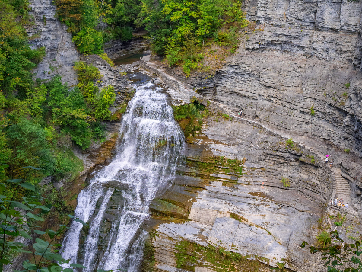
Like other gorge state parks, Robert Treman has a swimming area, campgrounds, and stunning waterfalls. The 115-foot Lucifer Falls is clearly central, and the handsome stonework winding up along the sheer cliff is equally remarkable. The dramatic waterscapes continue in the “upper gorge” area, and it is clear why visitors often linger in this stunning section. A beautiful stretch of the Finger Lakes Trail runs through Treman and the more adventurous hikers can follow the trail beyond Treman to Lick Brook Gorge and then all the way to Buttermilk Falls State Park.
Shindagin Hollow State Forest is over 5,266 acres and features more than 20 miles of trails — roughly fifteen miles of mountain biking trails and just under six miles of hiking trails. The mountain bike trail system is located almost entirely in the section of the forest to the west of Shindagin Hollow Road. The hiking trail traverses laterally across the forest and is almost exclusively along a 5.7-mile-long section of the Finger Lakes Trail.
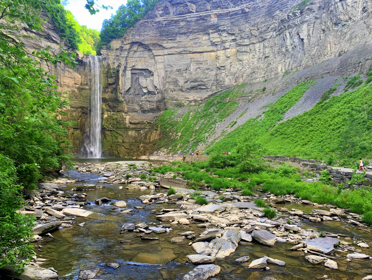
Ithaca is most certainly a city of gorges, but the gorge at Taughannock Falls, in nearby Trumansburg, is the biggest of them all. The waterfall at the end of the lower portion of the gorge is one of the tallest waterfalls in New York State. The mile-long trail within the gorge is nearly level and easily accessed, making it an excellent trip for all members of the family. In the summer, the lake is often as big a draw as the gorge. With a large playground, ample picnic tables and grills, and a swimming beach, the lakeside of the park is also wildly popular.
Syracuse Outdoors: Highlights for Hiking, Biking, and Exploring!
Will you be in the Syracuse area for a few days and want to get outdoors? Here are some highlights in Central New York that include a state forest with mountain biking trails, a family-friendly nature center, a county park with activities for all seasons, and amazing state parks. Make your own itinerary with these and other Syracuse-area locations from our Go Finger Lakes map.
Rolling wooded hills, well-groomed trails, varied niches, and year-round educational and environmental programs make this small gem a must-visit for all members of the family. Short trails through an arboretum as well as wildflower and herb gardens near the John A. Weeks Interpretive Center are perfect for toddlers or those who just want a brief, easy stroll. The longer Valley, Boundary, and Field to Forest trails offer extended trips to expand the experience and are thoroughly enjoyable for hikers of all levels.
Roughly 340 acres in size, Clark Reservation State Park packs in a great deal of botanical and geological diversity in a small footprint. Hundreds of flowering plants, 80 species of trees, 100 types of moss, and, most notably, 26 species of ferns are all observable along the nearly six miles of interconnected loop trails.
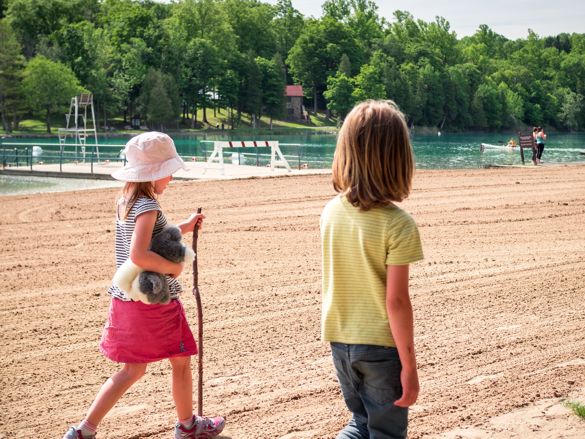
With nearly 20 miles of trails, old-growth forests, two pristine lakes, boat rentals, 137 campsites, a sandy swimming beach, and even golf courses (traditional and disc versions), there are numerous ways to get outside and enjoy Green Lakes State Park. At the heart of the 1,955-acre park, literally and figuratively, are two meromictic lakes — a unique condition where surface waters and deeper waters do not intermix.
Long trails are in short supply in the Finger Lakes and Central New York. Loop trails as well. Fortunately, Highland Forest has plenty of both. The extensive network of trails — over twenty miles of hiking/snowshoeing trails and many additional miles of mountain biking/skiing trails — intersects numerous wooded streams and rolling terrain through a variety of deciduous and coniferous forests. (Note: hiking trails are also used by equestrians.)
The most popular destination in Labrador Hollow is the universally accessible, quarter-mile path to Tinker Falls. Tinker Falls is a stunning example of a “hanging” falls. Its origin dates back to when New York and much of the North American continent were part of an inland sea. Second in popularity, and perhaps also in scenery, is the climb to the Jones Hill hang glider launch. From this vantage point, you can look down upon the hollow and Labrador Pond, at one of the few truly scenic hilltop vistas available along trails in the Finger Lakes region.
A popular destination for people from the Syracuse area and beyond, Morgan Hill is a fine example of an outdoor recreational resource that thrives when the community comes together. Over 25 miles of multi-use trails weave through the forest’s 5,284 acres. The rugged trails feature some higher levels of difficulty along lengthy rising and falling treks, which experienced hikers and mountain bikers will cherish.
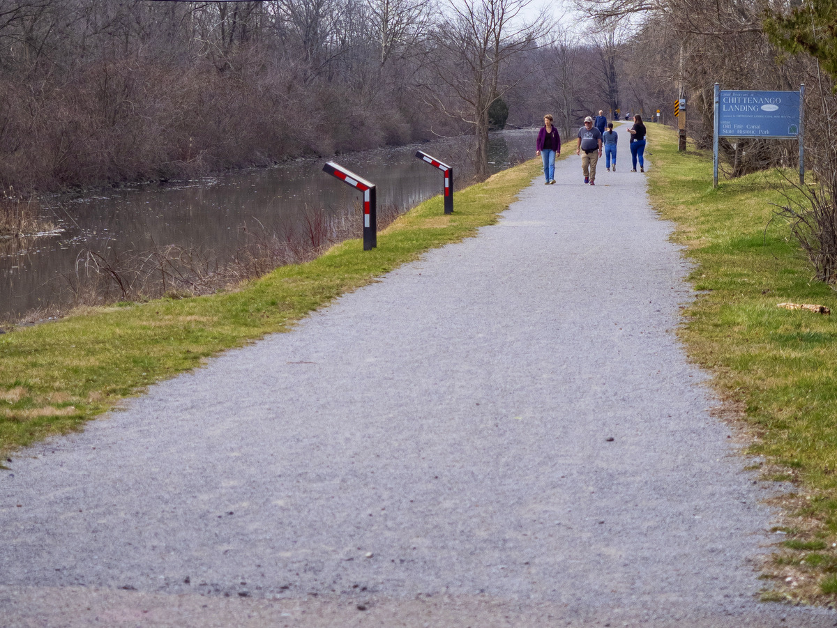
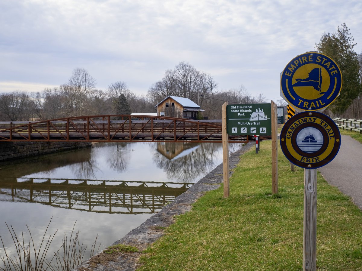
From Dewitt to Chittenango, 11.5 miles within this state park encompass a small percentage of the 363-mile-long Empire State Trail. It is a thin corridor that follows the enlarged canal route from its western terminus at Butternut Creek in Dewitt to the Chittenango Landing Canal Boat Museum. The intersections between roads are well-spaced, and the entirely off-road towpath is mostly stone dust with some paved sections. The even terrain is easy-going and it’s no wonder why cyclists, joggers, and walkers are almost always present.
Rochester Outdoors: Highlights for Hiking, Biking, Paddling, Birding, and More!
Will you be in the Rochester area for a few days and want to get outdoors? Here are some highlights that include a multi-use urban greenway, a historic canal trail, a Haudenosaunee cultural center, a spectacular birding spot on Lake Ontario, and the largest park in the county. Make your own itinerary with these and other Rochester-area locations from our Go Finger Lakes map.
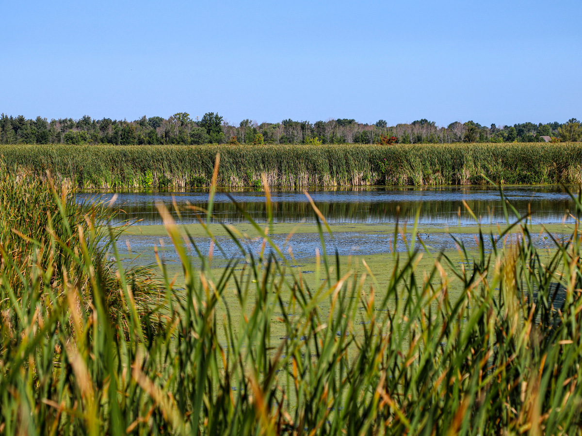
Northwest of Rochester is a sprawling 3,322-acre complex of wetlands, ponds, and marshland referred to as the Braddock Bay Wetland complex. These habitats, situated on the shore of Lake Ontario provide shelter, food, and nesting for nearly every type of bird that uses the Atlantic Flyway. This is one of New York’s best birding spots and visitors can take advantage of several research stations and observation posts located within the complex.
With 5,000 feet of Lake Ontario waterfront and 1,260 total acres, Durand Eastman Park exceeds most other state parks in the Finger Lakes by sheer size alone. With a sandy beach, bike trail, hiking trails, pavilions, lakes (yes, plural), playgrounds, picnic areas, a golf course, and an arboretum, it is easy to see there are ample activities for the whole family to relax, exercise or just play.
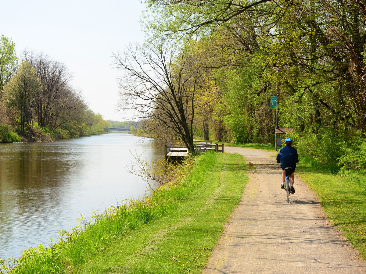
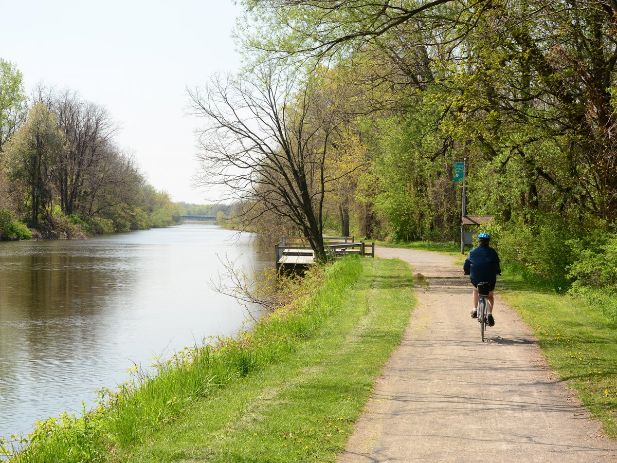
Along this section of the Erie Canal, there are miles of unbroken stone dust trail, where intersecting roads pass over the canal and towpath. For paddlers and boats, this is a necessity; for pedestrians, a convenience; and for cyclists, a pure delight. The dedication of space for people, not cars, is what makes this section a true gem.
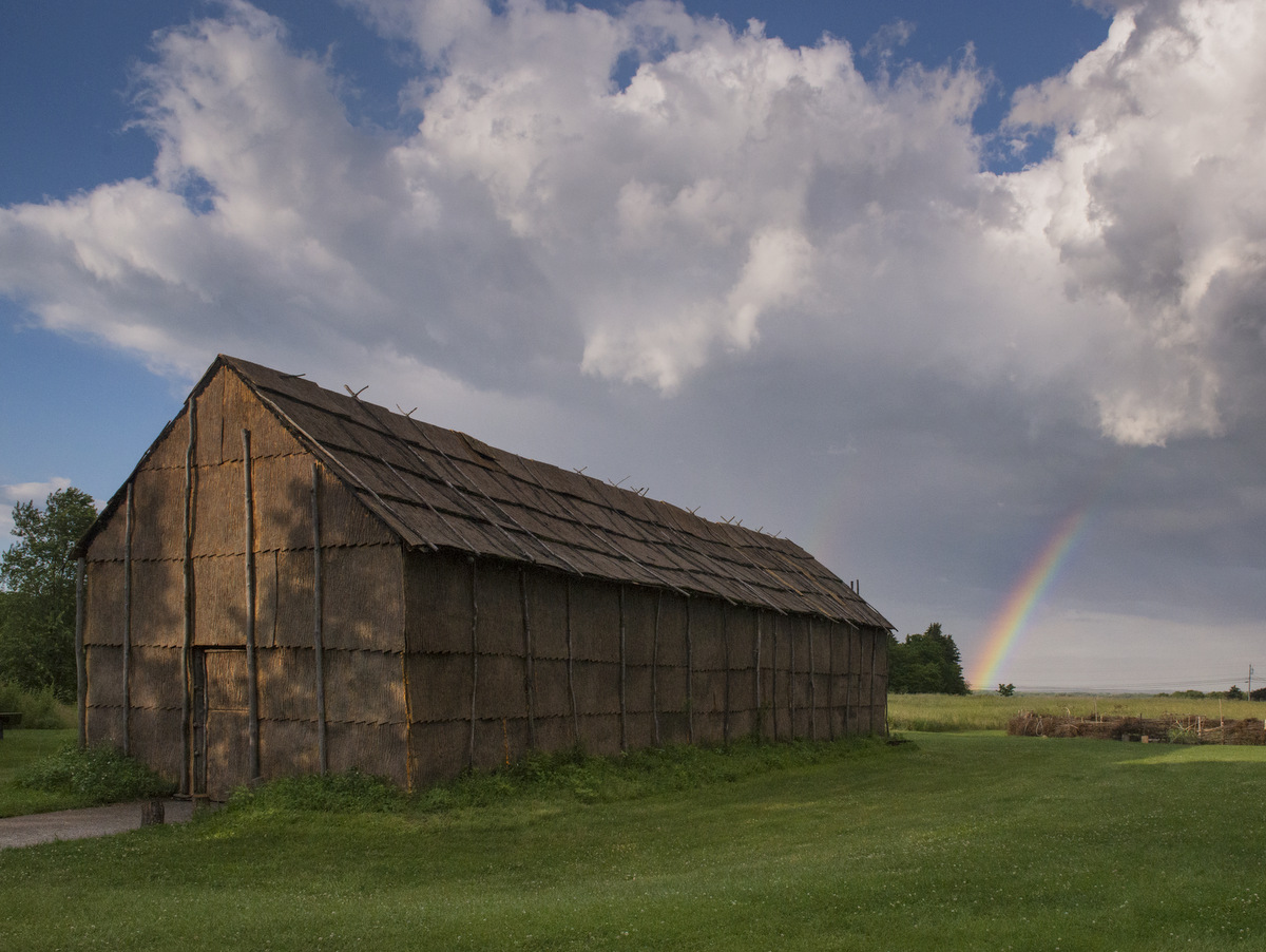
Spanning 569 acres, Ganondagan State Historic Site, a National Historic Landmark, is the original site of a 17th-century Seneca town and home to the 17,300-square-foot Seneca Art & Culture Center, a Seneca Bark Longhouse, and a series of interpretive trails. Ganondagan is a rare gem in the Finger Lakes, designed to immerse visitors in the rich culture, history, and living traditions of the Haudenosaunee.
Connecting Rochester in the north and Cuba (New York of course) in the south, the Genesee Valley Greenway State Park is a wonderful example of repurposed infrastructure – towpaths and railroad beds – into a new vibrant multiuse trail. Greenways are often thought of as only cyclist and walking paths, but equestrians, snowshoers, skiers, snowmobilers, and fishermen utilize these routes to enjoy their favorite pastimes as well.
Much of what ties the Finger Lakes landscape together dates back to the Ice Age, and there are few better places to see the land-sculpting power of glaciers than Mendon Ponds Park. With over 2,600 acres, it is the largest park in Monroe County. It includes a wide variety of features: roughly 40 miles of hiking trails, athletic fields, picnic tables, cycling along the network of roads, horseback riding, and canoeing/kayaking.
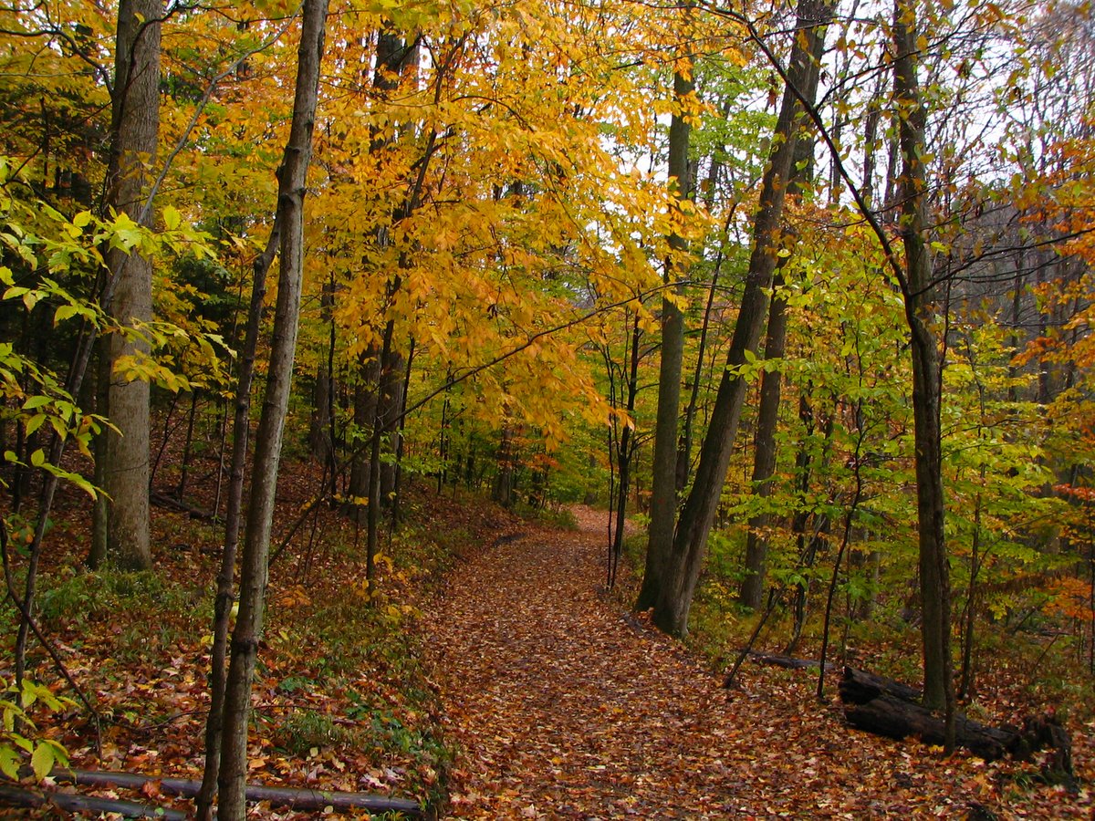
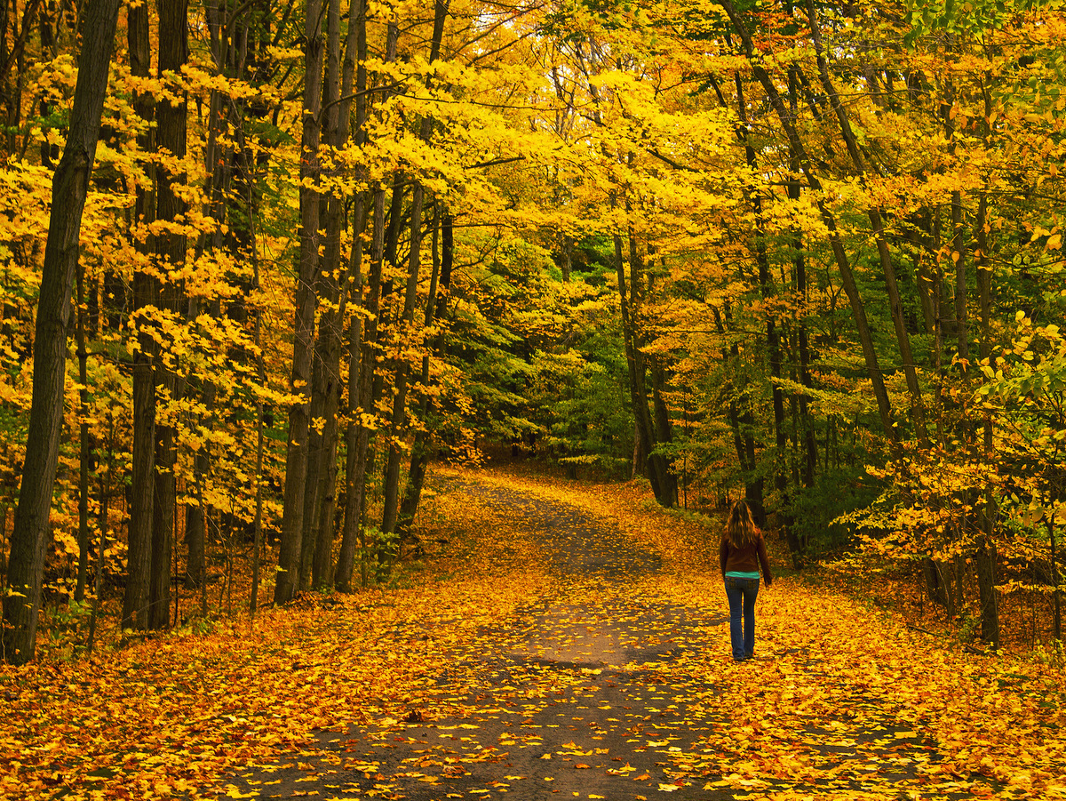
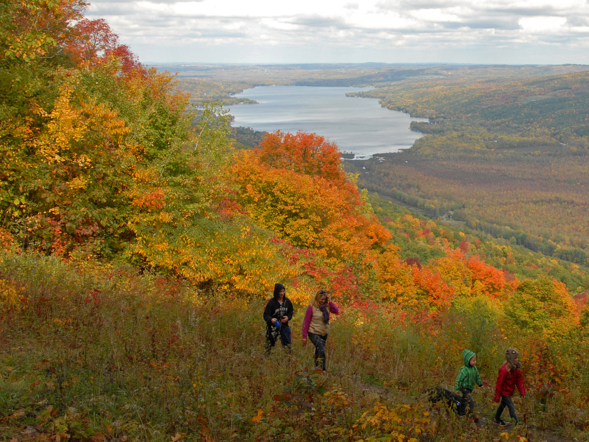
Autumn is here and, as anyone who delights in the season knows, it’s prime time for leaf peeping! If you enjoy a good fall hike, the Finger Lakes region has many locations that feature sun-dappled hills emblazoned with brilliant fall colors. Even better, this selection includes options for longer or shorter hikes and opportunities for viewing waterfalls, lakes, and a mighty river. Put on a sweater and experience fall’s radiant beauty at these locations chosen by the staff at the Finger Lakes Land Trust.
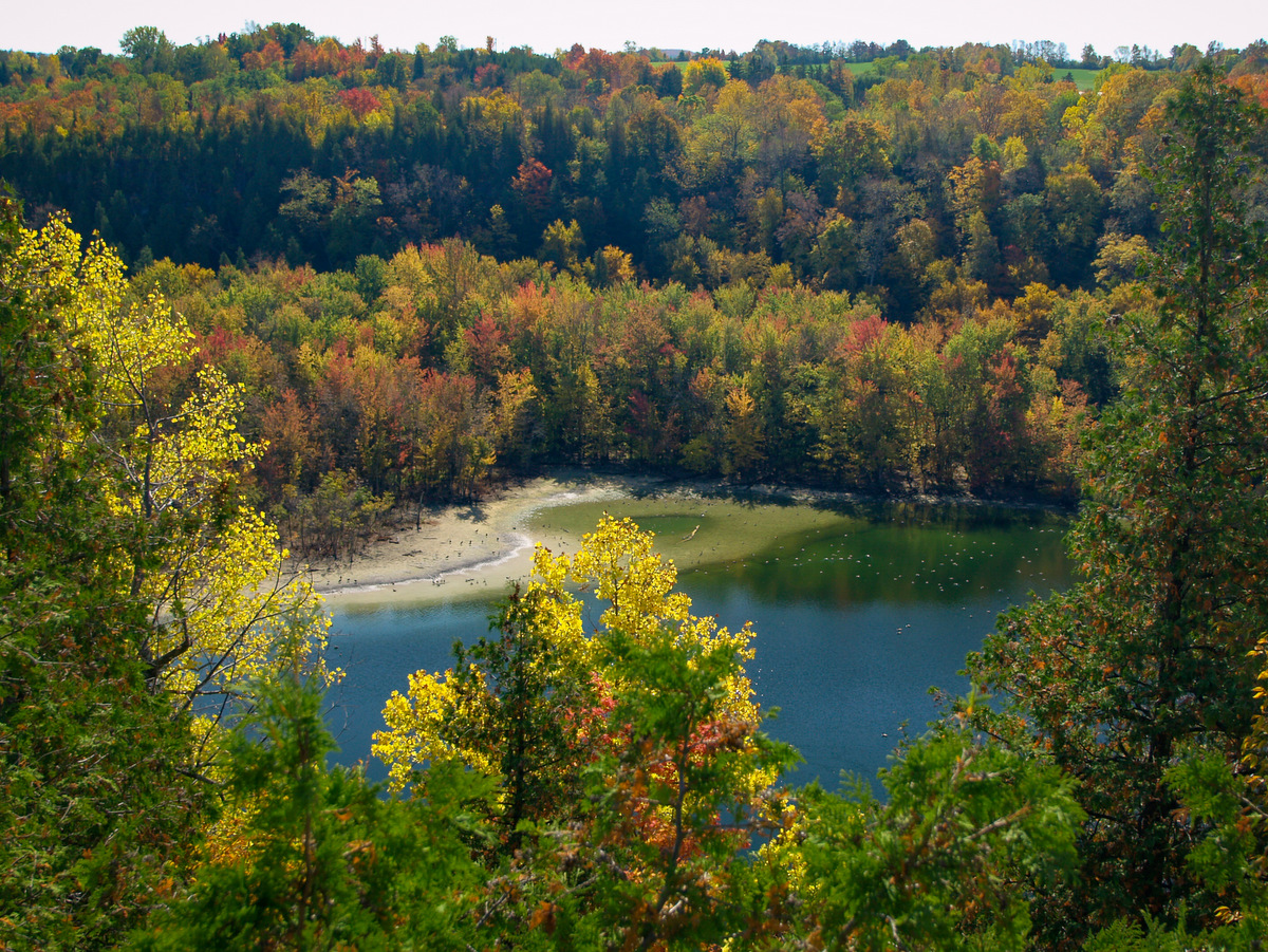
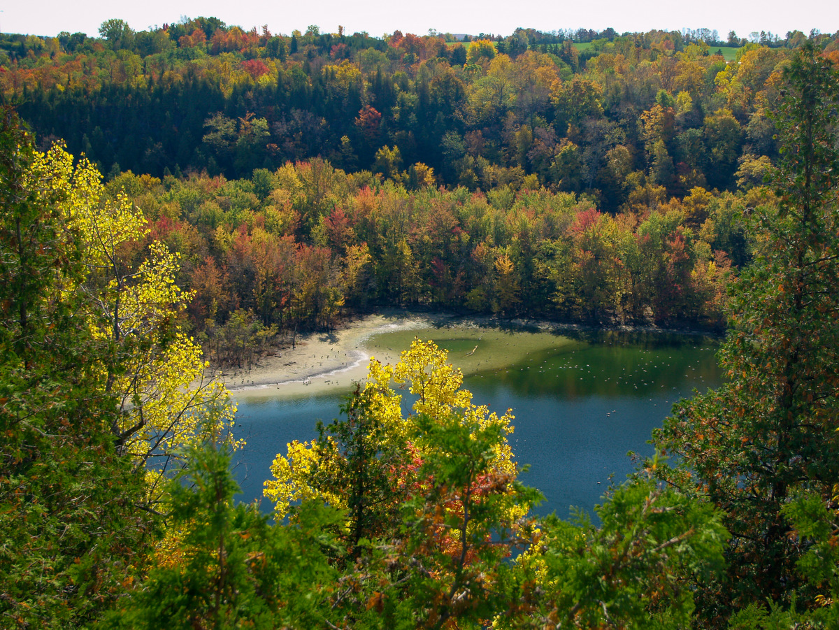
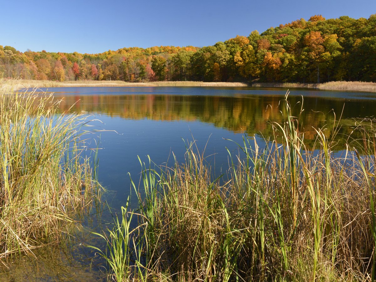
At this 377-acre park in Onondaga County, you can follow the rugged Cliff Trail for stunning views of Glacier Lake, formed during the last ice age. In autumn, the orange, yellow, and red fall foliage provides a stark contrast, and the lake is easily seen and provides a stunning photo op. Other trails wind through deep forest and beside the lake’s outlet/swamp so there are multiple routes through a variety of niches.
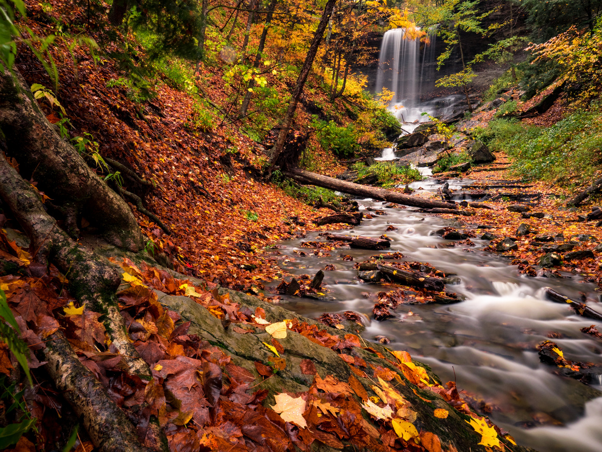
Located in the village of Moravia, Fillmore Glen features a deep gorge with stunning waterfalls and over seven miles of trails including the north rim, the south rim, and the real gem — the gorge trail. Autumn is a notably beautiful time to visit, either when the leaves are emblazoned with contrasting colors or just after fallen leaves reveal parts of the gorge previously hidden from view by the dense understory.
Located in the high hills between Honeoye and Hemlock Lakes, Harriet Hollister boasts a roughly 20-mile trail network that weaves through mostly deciduous forest. Visitors can enjoy a deep woodland feel with broad stable trails that include lots of lengthy lines-of-sight. Not to mention the picturesque panoramic view of Honeoye Lake and its steep-sided valley along the Overlook Trail.
The most popular destination in Labrador Hollow is the universally accessible, quarter-mile path to Tinker Falls. Tinker Falls is a stunning example of a “hanging” falls. Its origin dates back to when New York and much of the North American continent was part of an inland sea. Second in popularity, and perhaps also in scenery, is the climb to the Jones Hill hang glider launch. From this vantage point, you can look down upon the hollow and Labrador Pond, at one of the few truly scenic hilltop vistas available along trails in the Finger Lakes region.
Pull on your hiking boots and follow the trails in this forest, along the rim of Lick Brook gorge, where multiple waterfalls splash down on their way to Cayuga Lake. The Sweedler and Thayer Preserves, owned by the Finger Lakes Land Trust, provide excellent examples of the area’s geologic history and ecological systems. Different species of oak and maple can be found, as well as the less common cucumber magnolia and mountain maple. In autumn, Lick Brook becomes part of the colorful tapestry that spreads across the region in red, yellow, and orange.
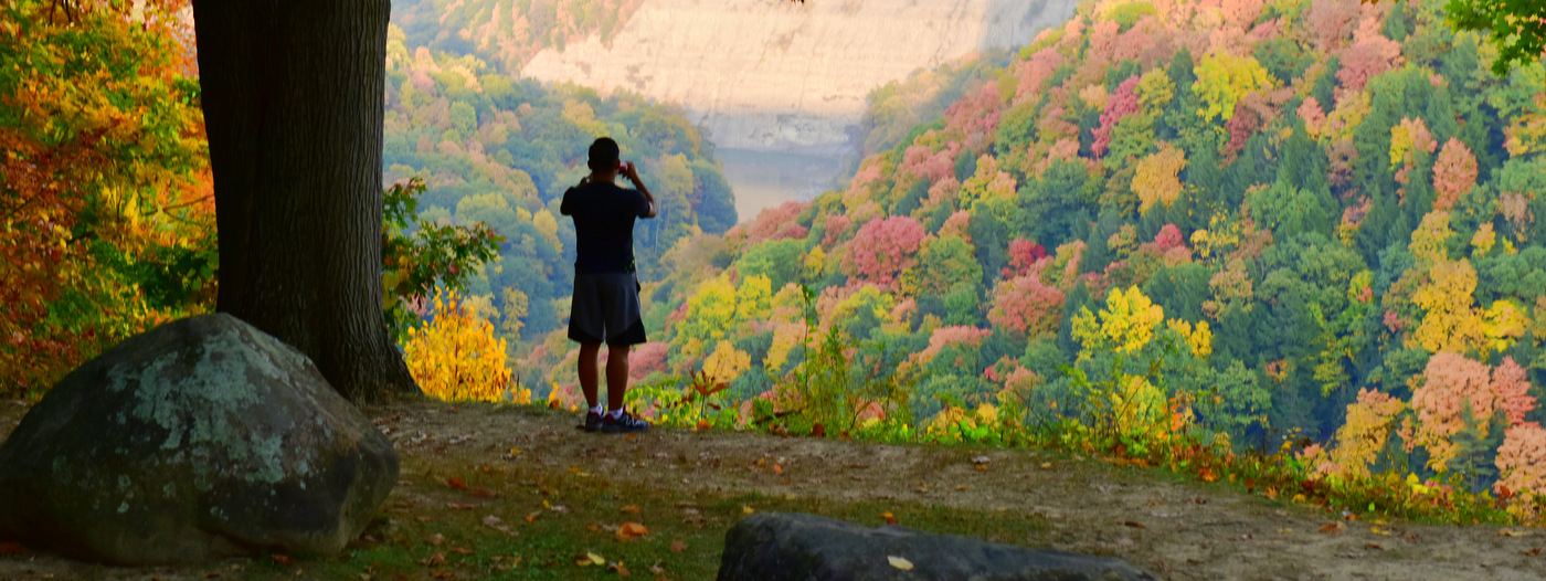
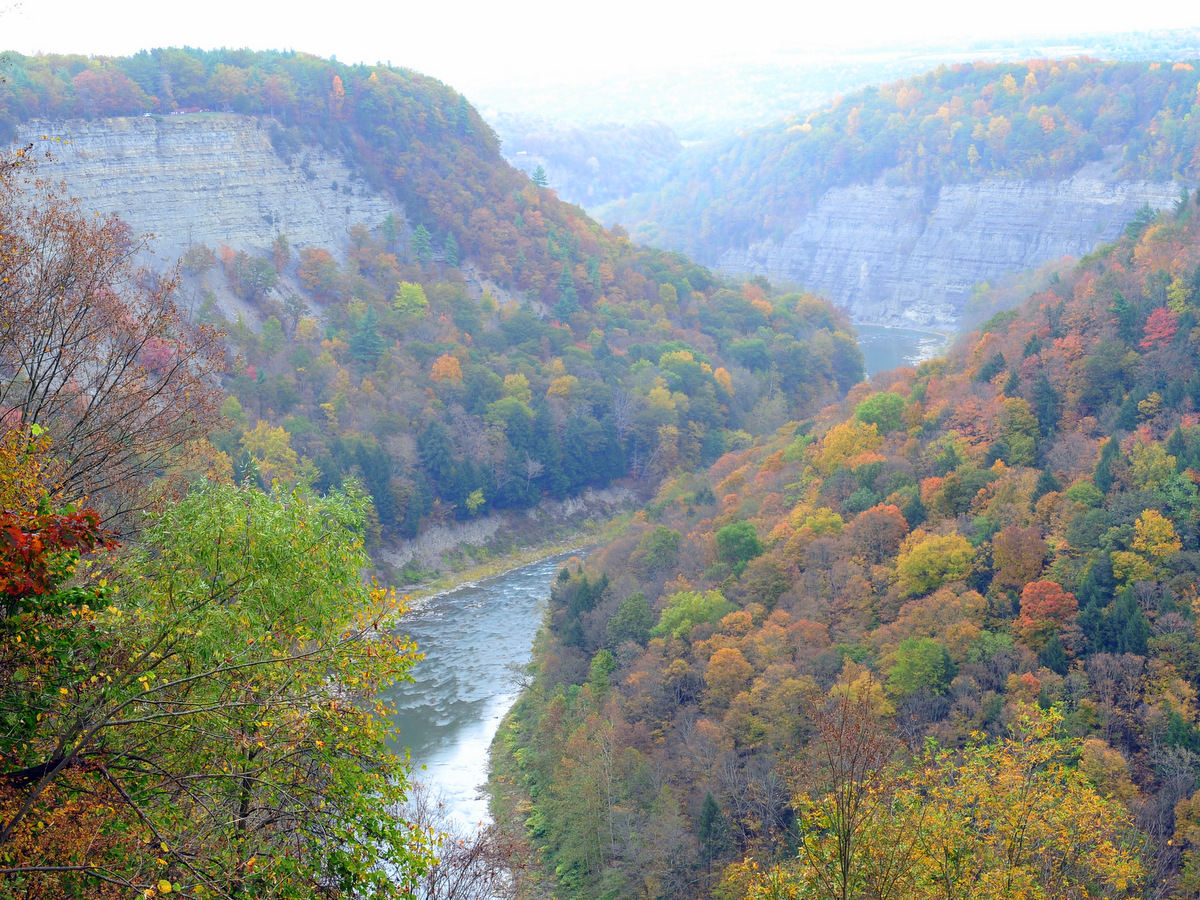
Letchworth and its rich history encompass seventeen miles of staggeringly sheer gorge, three towering and broad waterfalls, dozens of smaller waterfalls, 66 miles of trails, an abundance of overnight options, and opportunities to explore the park via foot, bike, horse, raft or even hot-air balloon! There is a greater quantity of trails on the western side of the gorge, with most branching off from and paralleling the main Park Road. Most lead to scenic overlooks with panoramic views of the gorge and Genesee River.
At the Finger Lakes Land Trust’s 793-acre Steege Hill Nature Preserve in Big Flats, there are seven miles of trails that weave through a predominantly oak and hickory forest. The largest of the Land Trust’s conservation areas, Steege Hill rests high above the Chemung River and offers ample solitude for hikers who wish to avoid crowds.
Dear Finger Lakers, we invite you to explore these 10 premium outdoor locations that have just been added. On the main map, you will find new additions in the northern part of the region, mostly Monroe and Wayne Counties. If you live in the Rochester area, perhaps some of these are already your favorites. Everyone else, discover the north! Here is the whole batch in alphabetical order.